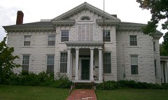
Listed on the National Register of Historic Places in
1980. A historic map-sheet match is not published yet. The record needs a coordinate-quality review before it can be joined to a sheet boundary.
From the record
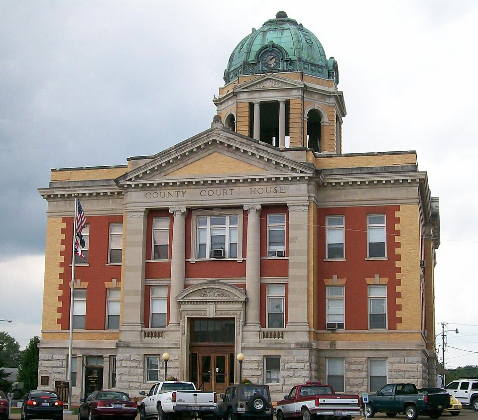
“The Monroe County Courthouse is located in Woodsfield, Ohio and is one of few courthouses located in a town square. It is the fourth courthouse building on this site, with two of the previous ones destroyed in fires.”
Wikipedia article Monroe County Courthouse (Ohio), CC BY-SA 4.0.
one of 9 National Register listings in Monroe County · listed in 1980 · category: Building.
National Register reference number.80003168- the number the National Park Service assigned this property when it was listed, and the key its nomination file is catalogued under at the National Archives.
Fires near this property
12 since 2012
Regional context, not property-specific
evidence. The
federal wildfire occurrence database
lists 12 fires within 5 miles of Monroe County Courthouse between
2012 and 2020, burning about 22 acres in total. 1 started naturally. None was recorded as arson.
Distance is straight-line from the map coordinates, so a fire counted
here may appear on a neighbouring settlement's page as well.
Reported cause
Fires
Debris and open burning
7
Equipment and vehicle use
2
Power generation/transmission/distribution
1
Smoking
1
Natural
1
The most recent of
them, most recent first, with the day each was reported and the service
that recorded it.
Regional context, not property-specific
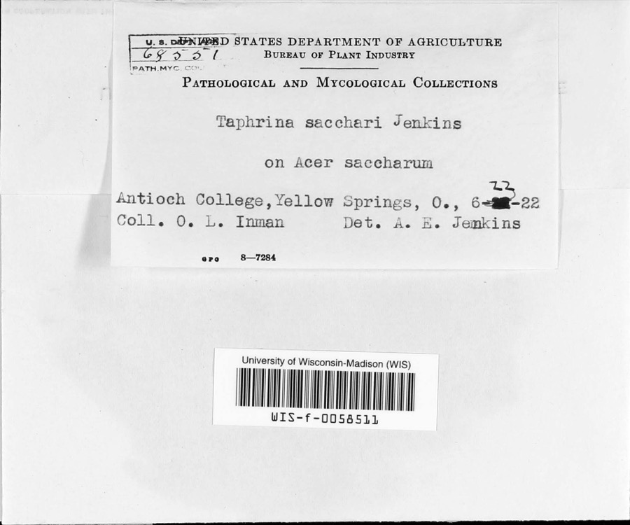
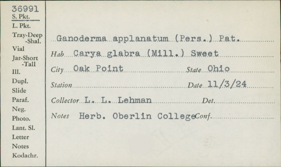
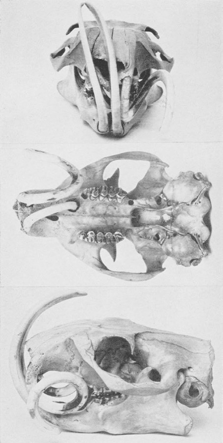
evidence. Museums hold 389 specimens
collected within 10 miles of Monroe County Courthouse between 1860 and
1975: 368 Animalia, 13 Fungi, 6 Plantae, 1 Chromista, 1 Unrecorded. 12 distinct Species records are shown.
Collected by Adler, K. K., Adler, K. K. & Walker, C. F. (Charles F.), Adler, K. K. & Wood, T. (Tilley) and others. Each is a
physical object with a catalogue
number, and each entry opens the museum's record. This is what was
collected and kept, not a survey of what lives here - nothing can be
concluded from a species being absent.
Regional context, not property-specific
evidence. The National Weather Service names
Woodsfield, the town this property stands in, in 45 storm reports between 1994 and 2024: 20 thunderstorm wind, 12 hail, 9 flash flood, 3 flood.
No death or injury is recorded in these reports. Each account below is quoted exactly as the forecast office
filed it, from the NOAA Storm Events Database, and each date
opens the federal record of that event.
Minor low-land flooding was first reported in Woodsfield. In 45 minutes 1.2 inches of rain was recorded at Woodsfield and Lewisville. State Route 26 between Graysville and Rinard Mills was closed. SR 260 was closed near Sycamore Valley. Wills, Skin, Rich Fork and Wolfpen Creeks all went out of their banks. Numerous small streams were also flooded. SR 26, CR 68 and Twp 562 flooded near the Little Muskingum River. Flooding was also reported along SR 379 in Seneca Township. SR 78, west of Lewisville, was closed.
1 paper published in this town,
digitised by the Library of Congress and free to read: 0 issues,
0 pages. Every page is searchable, so a name or a street can be
looked for directly in what the town printed about itself at the time.
No historic map-sheet match is published
for this property yet. That does not mean no map exists. This record needs
a coordinate-quality review before it can be joined to a sheet boundary.
Browse the county's mapped places while that work is
pending.
From the nomination file
1,811 words on record
When this property was proposed for the
National Register, someone wrote the case for it: what the building is,
and why it matters. That document is a federal record in the public domain.
It is quoted below word for word, never summarised. The text was read off the scanned case file by machine, so the
occasional stray character is the recogniser's and the 1970s
typewriter's.
Description of the property
MONROE COUNTY COURTHOUSE of the Neo-Classical Revival in its style. The facade, which is the most ornate with yellow, "buttered," brick used for decorative effect in quoins, within the pediments The main entrance consists of double doors inset at street level with a transom Court House". The cornice is of stone on all elevations, and excepting the rear, is The southern elevation is similar to the facade, although somewhat more plain. The northern elevation contains a more subdued frontispiece with pediment, surrounding The rear elevation is quite plain, and features red and yellow brick flat copper dome is set atop this portion; above each pediment is set a large clock, making marble. All interior woodwrok is of marbled oak.
CONDITION UNEXPOSED XEXCELLENT DESCRIPTION FAIR The interior is restrained in design and reflects the style of the exterior with material in a rusticated ashlar pattern; is also used for engaged columns above facade arches above the windows and a plain stone and buttered brick cornice.
The Monroe County Courthouse is of square plan shape and reflects many elements CHECK ONE and with outer engaged square columns.On the stone frieze above is carved County elevation, faces east and slightly south.The building consists mainly of red brick facade portion is encased in a pavillion with engaged stone columns with Ionic capitals The courthouse has been kept in an excellent state of preservation and has been and at other points to create contrast.Buff Bedford sandstone was used as foundation four clocks in all. second and third floors.A large letter M'is centered in the window design. changed very little since it was built. and south entrances and for other detailing described below.
stone or brick; most are 1/l with transoms and stone lintels.Those over the entrance -GOOD are of more lights with decorative stone trim.
Clock Company of New York City, were of the ten largest in the world. The building's built on this site, the other three having burned. It was built during a period of Monroe County government.
1500-1599 1400-1499 1700-1799 ARCHEOLOGY-HISTORIC COMMERCE 1905-1908 SIGNIFICANCE RELIGION SCIENCE AGRICULTURE EDUCATION CONSERVATION THEATER PERIOD TRANSPORTATION ENGINEERING X1900- XPOLITICS/GOVERNMENT _COMMUNICATIONS EXPLORATION/SETTLEMENT MUSIC LITERATURE _1800-1899 _PHILOSOPHY stained glass skylight under the dome and stained glass window at the stair landing prestigeous Samuel Hannaford and Sons architectural firm of Cincinnati.The built and is well maintained.It is still serving its original function as the center The Monroe County Courthouse is significant for its outstanding architecture XARCHITECTURE building shows Neo-Classical influence in its design and features one of the largest The courthouse has not been altered on the exterior or interior since it was community as the center of county governmental activity.
The architecture of the building is of a style and grandeur found nowhere -ECONOMICS -1600-1699 else in Woodsfield or rural Monroe County.It was designed in 1905 by the INVENTION - LAW towering above the village of Woodsfield and for its traditional role in the are by far the largest and finest in the county. This courthouse is the fourth of peak prosperity in the county due to the discovery of rich oil fields surrounding the town, hence the availability of funds for such a magnificent building. INDUSTRY Loveday,Amos, Jr. Walking Tour Brochure ( Woodsfield, 1979). Monroe County Commissioners Journal, 1905-1908.
Quoted from the National Register nomination
for reference 80003168, 19 pages, held by the National Archives in Record
Group 79. See the
catalogue record.
Listed places nearby
5 within 8 miles
Other National Register properties close
enough to walk or drive between, ordered by distance from this one. Both
positions come from the same geocoding pass that matched these properties
to their map sheets.
Listing record. National Park Service National Register of Historic Places, listed-properties dataset, current to 2026-05-22.
Map join. Address geocoded through the United States Census geocoder, then tested against the published boundary of every sheet in the USGS Historical Topographic Map Collection.
How this page is made. Listing fields come from federal records; map-sheet coverage is a labelled coordinate-to-boundary calculation, not a source-field claim.
Wildfire. Short, Karen C. 2022. Spatial wildfire occurrence data for the United States, 1992-2020 [FPA_FOD_20221014]. 6th Edition. Fort Collins, CO: Forest Service Research Data Archive. https://doi.org/10.2737/RDS-2013-0009.6 Collected with United States Government funding and usable without additional permissions or fees.
Specimens. Global Biodiversity Information Facility (GBIF), https://www.gbif.org/. Only records licensed CC0 or CC BY are used. Records licensed CC BY-NC are excluded because this site carries advertising. Images are checked individually and any whose licence is non-commercial, no-derivatives or unreadable is refused.
Storms. NOAA National Centers for Environmental Information, Storm Events Database https://www.ncei.noaa.gov/stormevents/ A work of the United States government, no copyright under 17 U.S.C. 105. Narratives are quoted verbatim from the National Weather Service report and are not edited or summarised.
 Block
Block