Listed on the National Register of Historic Places in
1982. A historic map-sheet match is not published yet. The record needs a coordinate-quality review before it can be joined to a sheet boundary.
From the record
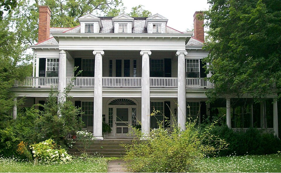
“Mooney House, also known as the Mooney Mansion, is located at 122 North Paul Street in Woodsfield, Ohio. The house was placed on the National Register on 1982/03/15.”
Wikipedia article William C. Mooney House, CC BY-SA 4.0.
one of 9 National Register listings in Monroe County · listed in 1982 · category: Building.
National Register reference number.82003615- the number the National Park Service assigned this property when it was listed, and the key its nomination file is catalogued under at the National Archives.
Fires near this property
12 since 2012
Regional context, not property-specific
evidence. The
federal wildfire occurrence database
lists 12 fires within 5 miles of Mooney, William C., House between
2012 and 2020, burning about 22 acres in total. 1 started naturally. None was recorded as arson.
Distance is straight-line from the map coordinates, so a fire counted
here may appear on a neighbouring settlement's page as well.
Reported cause
Fires
Debris and open burning
7
Equipment and vehicle use
2
Power generation/transmission/distribution
1
Smoking
1
Natural
1
The most recent of
them, most recent first, with the day each was reported and the service
that recorded it.
Regional context, not property-specific
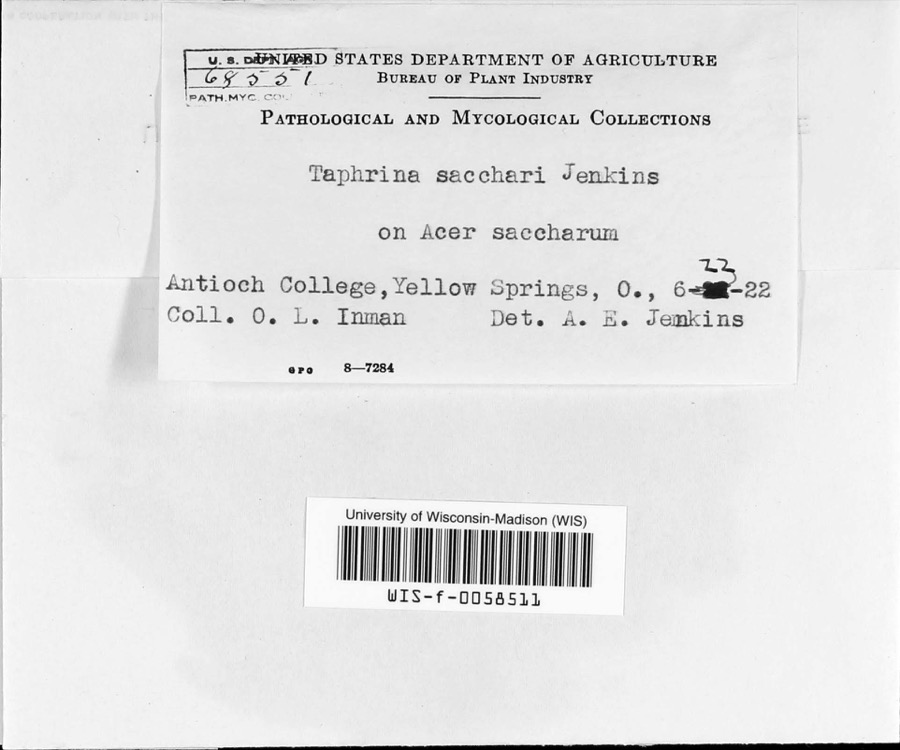
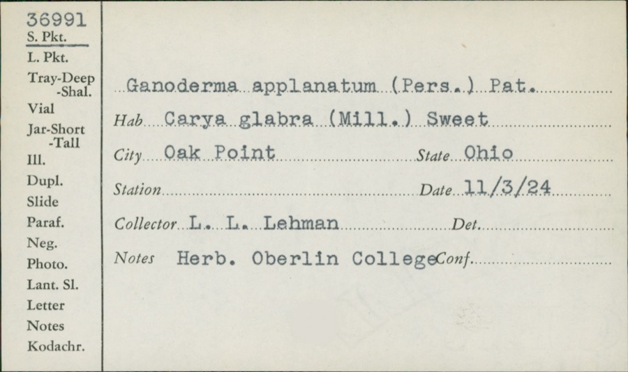
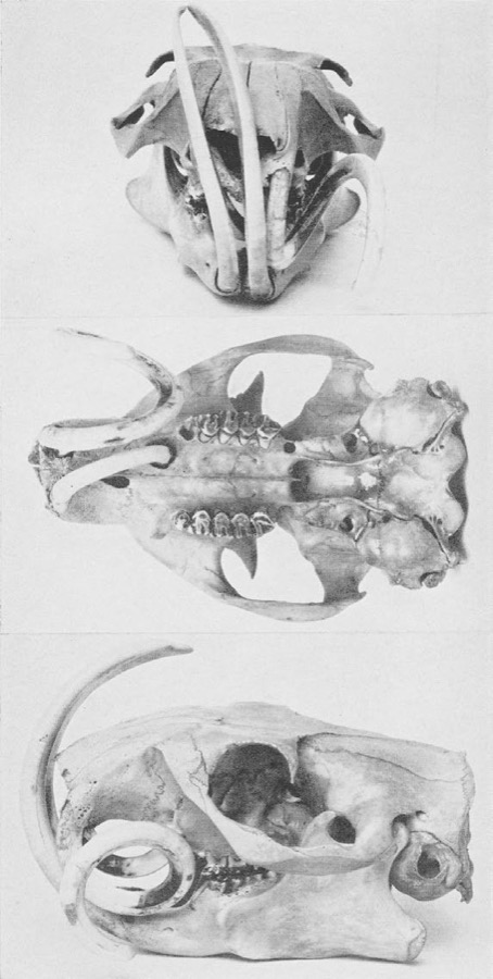
evidence. Museums hold 390 specimens
collected within 10 miles of Mooney, William C., House between 1860 and
1975: 368 Animalia, 14 Fungi, 6 Plantae, 1 Chromista, 1 Unrecorded. 12 distinct Species records are shown.
Collected by Adler, K. K., Adler, K. K. & Walker, C. F. (Charles F.), Adler, K. K. & Wood, T. (Tilley) and others. Each is a
physical object with a catalogue
number, and each entry opens the museum's record. This is what was
collected and kept, not a survey of what lives here - nothing can be
concluded from a species being absent.
Regional context, not property-specific
evidence. The National Weather Service names
Woodsfield, the town this property stands in, in 45 storm reports between 1994 and 2024: 20 thunderstorm wind, 12 hail, 9 flash flood, 3 flood.
No death or injury is recorded in these reports. Each account below is quoted exactly as the forecast office
filed it, from the NOAA Storm Events Database, and each date
opens the federal record of that event.
Minor low-land flooding was first reported in Woodsfield. In 45 minutes 1.2 inches of rain was recorded at Woodsfield and Lewisville. State Route 26 between Graysville and Rinard Mills was closed. SR 260 was closed near Sycamore Valley. Wills, Skin, Rich Fork and Wolfpen Creeks all went out of their banks. Numerous small streams were also flooded. SR 26, CR 68 and Twp 562 flooded near the Little Muskingum River. Flooding was also reported along SR 379 in Seneca Township. SR 78, west of Lewisville, was closed.
1 paper published in this town,
digitised by the Library of Congress and free to read: 0 issues,
0 pages. Every page is searchable, so a name or a street can be
looked for directly in what the town printed about itself at the time.
No historic map-sheet match is published
for this property yet. That does not mean no map exists. This record needs
a coordinate-quality review before it can be joined to a sheet boundary.
Browse the county's mapped places while that work is
pending.
From the nomination file
1,943 words on record
When this property was proposed for the
National Register, someone wrote the case for it: what the building is,
and why it matters. That document is a federal record in the public domain.
It is quoted below word for word, never summarised. The text was read off the scanned case file by machine, so the
occasional stray character is the recogniser's and the 1970s
typewriter's.
Description of the property
Condition Check one and sidelights whose mullions are somewhat heavier and awkward than In 1912,W.c.Mooney greatly enlarged the older house to include the the facade 3),and is distinguished bya semi-elliptical fanlight east side of the house (photo 4). X good . ruins - unexposed altered from the original, including the hardwood floors, some lighting ballroom is found on the third floor, from which the Mooneys entertained wood frame construction. The present house was constructed around an its exterior.
A broad central stair hallway leads from the main entrance their original eighteenth-century prototypes.All windows on the house 6/6 sash with molded surrounds.These rear windows no doubt date from the with cherry treads and a walnut handrail.Tile hearths are located from the hip roof of the facade as well as from the sides.The neo- 8.
Statement of significance
(in one paragraph) Areas ofSignificance-Check and justify below active businessman in the county, serving on the directorates of the The Mooney House is nominated as the long-time home of William Architecturally, the house is regarded as the local landmark building. _education served as its vice president and treasurer. He was clearly the most - other(specify) a member of Monroe Coumty's most influential business family.He was the County Court House burned in 1906,W.C.Mooney was appointed to the from 1915 to 1917,he served in the 64th Congress as a representative from _ landscape architecture. _ religion oldest son of Col. S.L. Mooney (1830-1916), and in 1874 entered the Manufacturing Co.,and the Ohio State Life and Insurance Co.When the 9.
Quoted from the National Register nomination
for reference 82003615, 18 pages, held by the National Archives in Record
Group 79. See the
catalogue record.
Listed places nearby
5 within 8 miles
Other National Register properties close
enough to walk or drive between, ordered by distance from this one. Both
positions come from the same geocoding pass that matched these properties
to their map sheets.
Listing record. National Park Service National Register of Historic Places, listed-properties dataset, current to 2026-05-22.
Map join. Address geocoded through the United States Census geocoder, then tested against the published boundary of every sheet in the USGS Historical Topographic Map Collection.
How this page is made. Listing fields come from federal records; map-sheet coverage is a labelled coordinate-to-boundary calculation, not a source-field claim.
Wildfire. Short, Karen C. 2022. Spatial wildfire occurrence data for the United States, 1992-2020 [FPA_FOD_20221014]. 6th Edition. Fort Collins, CO: Forest Service Research Data Archive. https://doi.org/10.2737/RDS-2013-0009.6 Collected with United States Government funding and usable without additional permissions or fees.
Specimens. Global Biodiversity Information Facility (GBIF), https://www.gbif.org/. Only records licensed CC0 or CC BY are used. Records licensed CC BY-NC are excluded because this site carries advertising. Images are checked individually and any whose licence is non-commercial, no-derivatives or unreadable is refused.
Storms. NOAA National Centers for Environmental Information, Storm Events Database https://www.ncei.noaa.gov/stormevents/ A work of the United States government, no copyright under 17 U.S.C. 105. Narratives are quoted verbatim from the National Weather Service report and are not edited or summarised.
 Block
Block