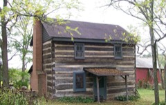
Listed on the National Register of Historic Places in
1980. A historic map-sheet match is not published yet. The record needs a coordinate-quality review before it can be joined to a sheet boundary.
From the record
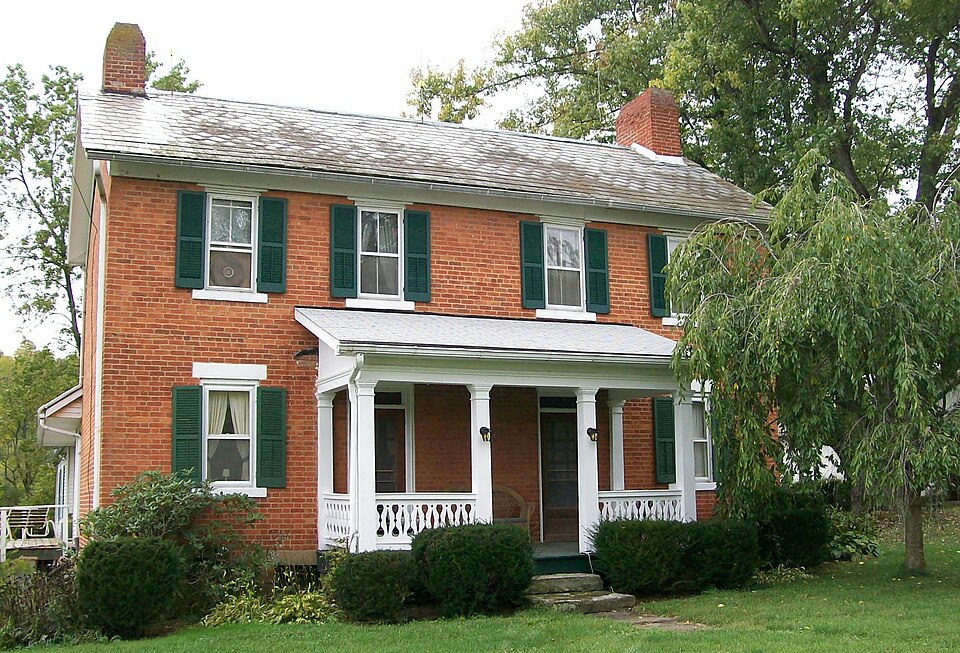
“The Samuel Danford Farm is a historic complex of buildings in northeastern Noble County, Ohio, United States. Located near the village of Summerfield, the complex comprises six buildings and one other site in an area of approximately 7.5 acres (3.0 ha).”
Wikipedia article Samuel Danford Farm, CC BY-SA 4.0.
one of 8 National Register listings in Noble County · listed in 1980 · category: Building.
National Register reference number.80003204- the number the National Park Service assigned this property when it was listed, and the key its nomination file is catalogued under at the National Archives.
Fires near this property
18 since 2013
Regional context, not property-specific
evidence. The
federal wildfire occurrence database
lists 18 fires within 5 miles of Danford, Samuel, Farm, Church and Cemetery between
2013 and 2020, burning about 45 acres in total. 1 started naturally. 1 was recorded as arson.
Distance is straight-line from the map coordinates, so a fire counted
here may appear on a neighbouring settlement's page as well.
Reported cause
Fires
Missing data/not specified/undetermined
8
Debris and open burning
3
Smoking
1
Power generation/transmission/distribution
1
Arson/incendiarism
1
Equipment and vehicle use
1
Recreation and ceremony
1
Natural
1
Other causes
1
The most recent of
them, most recent first, with the day each was reported and the service
that recorded it.
Regional context, not property-specific
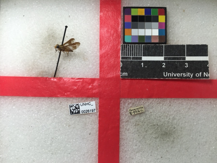
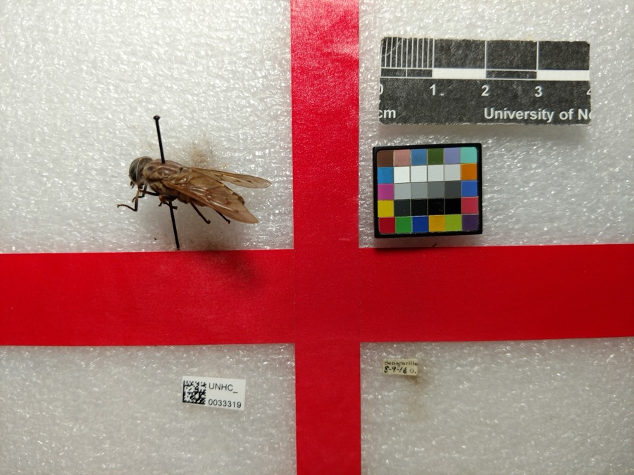
evidence. Museums hold 89 specimens
collected within 10 miles of Danford, Samuel, Farm, Church and Cemetery between 1860 and
1975: 75 Animalia, 10 Plantae, 3 Fungi, 1 Unrecorded. 12 distinct Species records are shown.
Collected by Adams, W., Adler, K. K., Adler, K. K. & Dennis, D. M. and others. Each is a
physical object with a catalogue
number, and each entry opens the museum's record. This is what was
collected and kept, not a survey of what lives here - nothing can be
concluded from a species being absent.
Regional context, not property-specific
evidence. The federal mineral resources record lists
1 working within 5 miles of Danford, Samuel, Farm, Church and Cemetery: 1 past producer.
None of them still produces. What was taken out: Stone, Crushed/Broken. Distance is straight-line from the
map coordinates, so a quarry counted here may appear on a neighbouring
settlement's page as well.
Regional context, not property-specific
evidence. The National Weather Service names
Summerfield, the town this property stands in, in 13 storm reports between 1997 and 2026: 5 thunderstorm wind, 3 hail, 2 flash flood, 2 flood.
The reports record 1 death and 1 injury. Each account below is quoted exactly as the forecast office
filed it, from the NOAA Storm Events Database, and each date
opens the federal record of that event.
Roads closed due to flooding included all of State Route 564, State Route 145 from Washington County to Stafford, State Route 724, and State Route 146 near Summerfield.
No historic map-sheet match is published
for this property yet. That does not mean no map exists. This record needs
a coordinate-quality review before it can be joined to a sheet boundary.
Browse the county's mapped places while that work is
pending.
From the nomination file
1,477 words on record
When this property was proposed for the
National Register, someone wrote the case for it: what the building is,
and why it matters. That document is a federal record in the public domain.
It is quoted below word for word, never summarised. The text was read off the scanned case file by machine, so the
occasional stray character is the recogniser's and the 1970s
typewriter's.
Description of the property
The Danford house is of two stories, brick construction with a gabled slate roof remains largely unchanged, containing three original fireplaces, original ceiling heights It is of one story, the roof is gabled with a restrained cornice with partial return. shutters. On the lintel above the window is inscribed "1869" and the sill reads "Glady facade; four wooden steps lead to the entry in the left bay. All windows are 6/6 with excellent deteriorated unaltered Check one construction with primarily wood siding.
and flooring.An enclosed winding staircase leads to the second story and cabinets built The Danford grist mill is a two story frame building of braced frame construction Open frame porches with decorative balusters and square pillar supports are found on the The overall layout of the Danford property may be described as follows:One approaches into the wall remain in their original state.The exterior of the house was sandblasted a dirt road and curves southwest up the hill behind the house to the church which sits facade and east end of the rear.There are two transomed entries in the center bays of Condition several members of the Danford family as well as other members of the congregation.
M.E.Church"..Trabeated windows on the side elevations are tall,9/9 with exterior lou- removed to the house.A large arch is built into the rear wall. the front of the house;windows are 1/1 on the first floor and 2/2 with exterior louvered The large frame barn is seton a stone foundation and features exterior louvered Two fairly modern sheds are located near the house.They are of frame and metal in the early 1970s. of one story with a large open end. -ruins further, the mill sits on the opposite side of the road. A large frame barn sits on a shutters.
(in one paragraph) In 1970 the property was sold out of the family and at present is being farmed. family as well as a cross section of other early inhabitants of the area. The property is in general in a good state of preservation. other (specify) The residence was built in 1833 to replace a log house built when Samuel on the interior about half of the pews remain; the small pulpit has been placed in the _sculpture Danford settled the land in 1817..The house is simple in design both interior law -art landscape architecture_X religion X agriculture _ architecture X exploration/settlement however, the original front portion remains essentially as it was originally. carried on here. They are in fair condition. Dan ford property. It operated until 1905.
The exterior of the church is largely intact; This one operated until 1965 when it was dismantled and all of the equipment, excepting 1600-1699 1500-1599 philosophy represents agricultural enterprise; earlier, there were many grist mills in Noble County. buildings representing a rural way of life in this region in the 19th and early The grist mill was built in 1915 and was powered by steam and gasoline.It The Glady M.E:Church is representative of the religious aspect of this family's 9.
Quoted from the National Register nomination
for reference 80003204, 17 pages, held by the National Archives in Record
Group 79. See the
catalogue record.
Listed places nearby
2 within 8 miles
Other National Register properties close
enough to walk or drive between, ordered by distance from this one. Both
positions come from the same geocoding pass that matched these properties
to their map sheets.
Listing record. National Park Service National Register of Historic Places, listed-properties dataset, current to 2026-05-22.
Map join. Address geocoded through the United States Census geocoder, then tested against the published boundary of every sheet in the USGS Historical Topographic Map Collection.
How this page is made. Listing fields come from federal records; map-sheet coverage is a labelled coordinate-to-boundary calculation, not a source-field claim.
Wildfire. Short, Karen C. 2022. Spatial wildfire occurrence data for the United States, 1992-2020 [FPA_FOD_20221014]. 6th Edition. Fort Collins, CO: Forest Service Research Data Archive. https://doi.org/10.2737/RDS-2013-0009.6 Collected with United States Government funding and usable without additional permissions or fees.
Specimens. Global Biodiversity Information Facility (GBIF), https://www.gbif.org/. Only records licensed CC0 or CC BY are used. Records licensed CC BY-NC are excluded because this site carries advertising. Images are checked individually and any whose licence is non-commercial, no-derivatives or unreadable is refused.
Mines and quarries. USGS Mineral Resources Data System (MRDS) https://mrdata.usgs.gov/mrds/ A work of the United States government, no copyright under 17 U.S.C. 105.
Storms. NOAA National Centers for Environmental Information, Storm Events Database https://www.ncei.noaa.gov/stormevents/ A work of the United States government, no copyright under 17 U.S.C. 105. Narratives are quoted verbatim from the National Weather Service report and are not edited or summarised.
 Block
Block