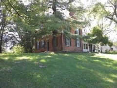
Listed on the National Register of Historic Places in
1980. A historic map-sheet match is not published yet. The record needs a coordinate-quality review before it can be joined to a sheet boundary.
From the record
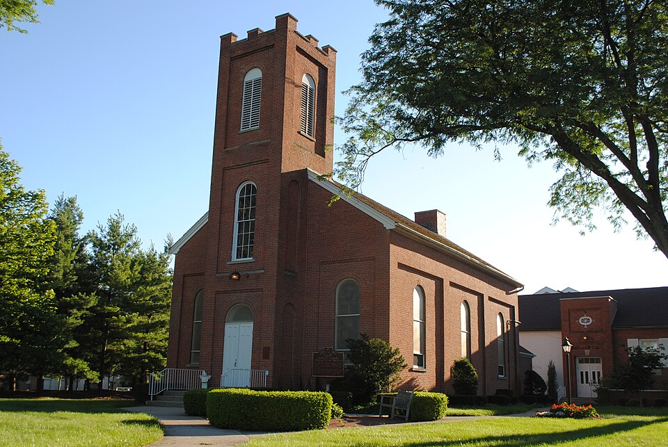
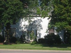
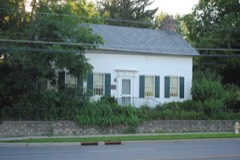
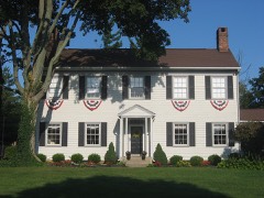
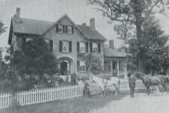
“Central College Presbyterian Church is a historic Presbyterian church building in Westerville, Ohio.”
Wikipedia article Central College Presbyterian Church, CC BY-SA 4.0.
one of 295 National Register listings in Franklin County · listed in 1980 · category: Building · one of 3 National Historic Landmarks in Franklin County.
National Register reference number.80004068- the number the National Park Service assigned this property when it was listed, and the key its nomination file is catalogued under at the National Archives.
Specimens collected near this property
12 of 3,164 shown
Regional context, not property-specific
evidence. Museums hold 3,164 specimens
collected within 10 miles of Central College Presbyterian Church between 1804 and
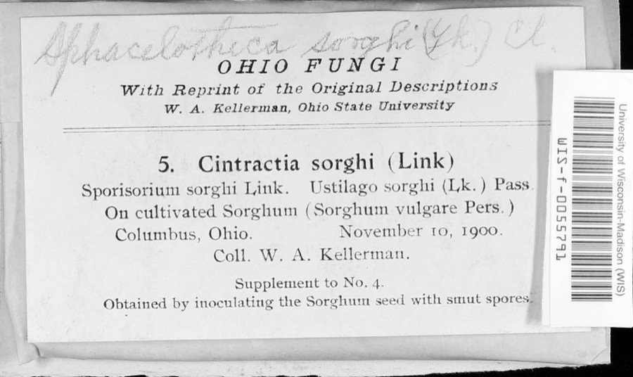
1975: 2,857 Animalia, 195 Plantae, 80 Fungi, 31 Chromista, 1 Unrecorded. 12 distinct Species records are shown.
Collected by A C Whitney, A. J. Basinger, A. J. Penniman and others. Each is a
physical object with a catalogue
number, and each entry opens the museum's record. This is what was
collected and kept, not a survey of what lives here - nothing can be
concluded from a species being absent.
Regional context, not property-specific
evidence. The National Weather Service names
Westerville, the town this property stands in, in 36 storm reports between 1994 and 2026: 19 thunderstorm wind, 12 hail, 2 flash flood, 2 flood.
No death or injury is recorded in these reports. Each account below is quoted exactly as the forecast office
filed it, from the NOAA Storm Events Database, and each date
opens the federal record of that event.
Hail up to the size of golf balls affected the north side of the Columbus metro area and southern Delaware county. Hail was extensive from Dublin, through Worthington and Powell, to Westerville. Trees and shrubs were stripped of their foliage and cars and homes sustained significant hail damage. The hail covered the ground in some locations up to six inches deep in Worthington in northern Franklin county and near the Polaris Mall in southern Delaware county.
No historic map-sheet match is published
for this property yet. That does not mean no map exists. This record needs
a coordinate-quality review before it can be joined to a sheet boundary.
Browse the county's mapped places while that work is
pending.
From the nomination file
978 words on record
When this property was proposed for the
National Register, someone wrote the case for it: what the building is,
and why it matters. That document is a federal record in the public domain.
It is quoted below word for word, never summarised. The text was read off the scanned case file by machine, so the
occasional stray character is the recogniser's and the 1970s
typewriter's.
Description of the property
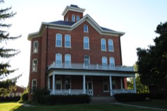
represent the well preserved historic resources of this village. Following are brief descriptions of the buildings. 7121 Sunbury Rd. This fine little 1½ story frame residence was built by Reverend covered roof. The distinctive feature is the beautiful, refined entrance flanked by flattened, engaged columns and a highly decorative entablature and frieze. at the north end of the house. the same flattened engaged columns as the front door. A fluted fan motif dominates with square pilasters and raised rectangular molding. A one story addition was added to the rear of the building. Reverend Washburn moved to Central College in 1833 and lived in this house until his death in 1873.
He was instrumental in the development of the Presbyterian Church in Blendon Township and Blendon Institute and Central College. use as a parsonage for the Presbyterian Church. It is a 2 story wood frame building (now covered with aluminum siding) with a gable composition covered roof. The outstanding feature is the entrance with sidelights, pilasters, entablature and frieze.. The windows on the first floor facade are double hung 12 over 12 sash while the remainder are either 8 over 8 or 6 over 6. The house originally Road in 1927. The house was used as a parsonage during the mid-19th century Central College Presbyterian Church This well preserved church was completed in It is constructed of brick on a stone foundation with a composition roof.
the facade at the base of the projecting square tower. A round arched stained glass window with "Central College Presbyterian Church 1870" in it is located first and second levels of the tower with louvered round arched openings above. and was built at a cost of $4,276. Lyman Day was the brickmason and Stephen Huddleson the carpenter.
Quoted from the National Register nomination
for reference 80004068, 7 pages, held by the National Archives in Record
Group 79. See the
catalogue record.
Listed places nearby
6 within 8 miles
Other National Register properties close
enough to walk or drive between, ordered by distance from this one. Both
positions come from the same geocoding pass that matched these properties
to their map sheets.
Listing record. National Park Service National Register of Historic Places, listed-properties dataset, current to 2026-05-22.
Map join. Address geocoded through the United States Census geocoder, then tested against the published boundary of every sheet in the USGS Historical Topographic Map Collection.
How this page is made. Listing fields come from federal records; map-sheet coverage is a labelled coordinate-to-boundary calculation, not a source-field claim.
Specimens. Global Biodiversity Information Facility (GBIF), https://www.gbif.org/. Only records licensed CC0 or CC BY are used. Records licensed CC BY-NC are excluded because this site carries advertising. Images are checked individually and any whose licence is non-commercial, no-derivatives or unreadable is refused.
Storms. NOAA National Centers for Environmental Information, Storm Events Database https://www.ncei.noaa.gov/stormevents/ A work of the United States government, no copyright under 17 U.S.C. 105. Narratives are quoted verbatim from the National Weather Service report and are not edited or summarised.
 Block
Block