Listed on the National Register of Historic Places in
1982. A historic map-sheet match is not published yet. The record needs a coordinate-quality review before it can be joined to a sheet boundary.
From the record
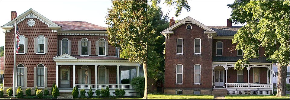
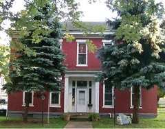
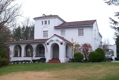
“The Thomas T and Wesley B Frasier Houses in Brookside, Ohio were built in the 19th century along Route 40. The houses were added to the National Register on 1982-11-17.”
Wikipedia article Thomas T. and Wesley B. Frasier Houses, CC BY-SA 4.0.
one of 15 National Register listings in Belmont County · listed in 1982 · category: Building.
National Register reference number.82001359- the number the National Park Service assigned this property when it was listed, and the key its nomination file is catalogued under at the National Archives.
The chapter covers township organization, increase in population and wealth, the first, settlements, the old mills and meeting houses, coal mining, fruit.
Machine-read from a century-old scan, so
expect the errors a machine makes: misspelled names, dropped words,
stray characters.
Regional context, not property-specific
evidence. The
federal wildfire occurrence database
lists 21 fires within 5 miles of Frasier, Thomas T. and Wesley B. Houses between
1992 and 2020, burning about 30 acres in total. None started naturally. 3 were recorded as arson.
Distance is straight-line from the map coordinates, so a fire counted
here may appear on a neighbouring settlement's page as well.
Reported cause
Fires
Debris and open burning
14
Arson/incendiarism
3
Railroad operations and maintenance
1
Equipment and vehicle use
1
Misuse of fire by a minor
1
Missing data/not specified/undetermined
1
The most recent of
them, most recent first, with the day each was reported and the service
that recorded it.
Regional context, not property-specific
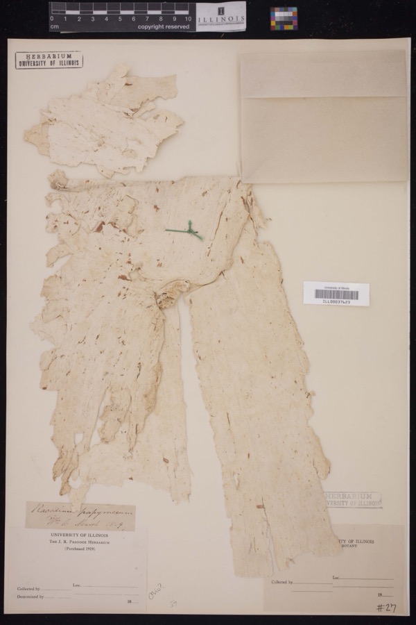
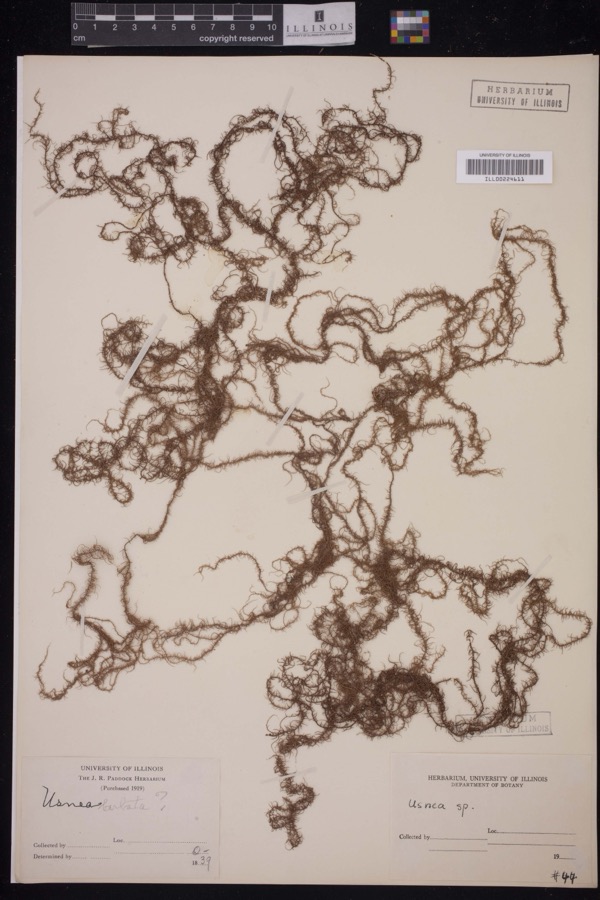
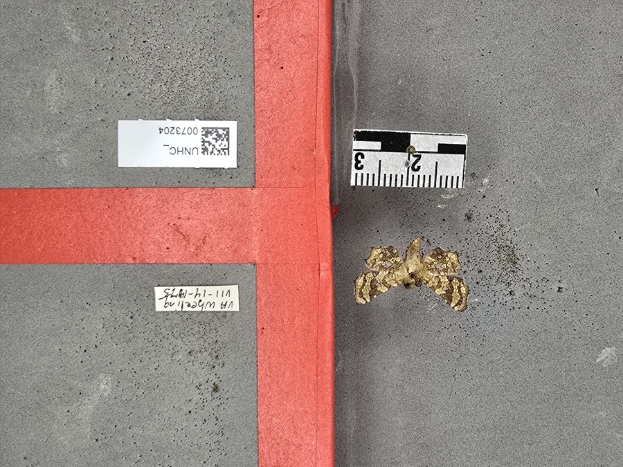
evidence. Museums hold 1,249 specimens
collected within 10 miles of Frasier, Thomas T. and Wesley B. Houses between 1800 and
1975: 1,039 Plantae, 117 Fungi, 91 Animalia, 2 Unrecorded. 12 distinct Species records are shown.
Collected by A. D. Selby, A. D. Selby & E. L. Moseley, A. D. Selby & J. F. Hicks and others. Each is a
physical object with a catalogue
number, and each entry opens the museum's record. This is what was
collected and kept, not a survey of what lives here - nothing can be
concluded from a species being absent.
Regional context, not property-specific
evidence. The federal mineral resources record lists
4 workings within 5 miles of Frasier, Thomas T. and Wesley B. Houses: 2 past producers, 1 unknown, 1 producer.
1 still produces. What was taken out: Limestone, General, Iron, Bituminous, Stone, Crushed/Broken. Distance is straight-line from the
map coordinates, so a quarry counted here may appear on a neighbouring
settlement's page as well.
Regional context, not property-specific
evidence. The National Weather Service names
Brookside, the town this property stands in, in 3 storm reports between 2004 and 2022: 2 thunderstorm wind, 1 flash flood.
No death or injury is recorded in these reports. Each account below is quoted exactly as the forecast office
filed it, from the NOAA Storm Events Database, and each date
opens the federal record of that event.
No historic map-sheet match is published
for this property yet. That does not mean no map exists. This record needs
a coordinate-quality review before it can be joined to a sheet boundary.
Browse the county's mapped places while that work is
pending.
From the nomination file
2,773 words on record
When this property was proposed for the
National Register, someone wrote the case for it: what the building is,
and why it matters. That document is a federal record in the public domain.
It is quoted below word for word, never summarised. The text was read off the scanned case file by machine, so the
occasional stray character is the recogniser's and the 1970s
typewriter's.
Description of the property
stone foundation with a beveled stone water table, and capped with a composition gable roof. section first, and a rear addition, identical in material, scale, and fenestration, added side of the facade, with a pediment defined by a partial return on the cornice, double the exclusive use of round-arched windows, 2/2 lights, set on stone lintels and capped with gabled roof is covered with asbestos shingles. 7. Description Condition unexposed Bridgeport.
deteriorated ruins articulated by an upper turned balustrade, decorative posts, and a handsome ornamental lower of the house, particularly on the west side, suggests that it might have been constructed unaltered is located in the set-back, wrapping around the east elevation and terminiating in a bay opment, dotted with shopping centers and service stations. No historic outbuildings are on the site. L-shaped, with a projecting bay on the west and set back section on the east. A veranda The Wesley B. Frasier House is a 2-story masonry structure, built of common bond brick pillars, has a latticed base, a delicate balustrade, scalloped eave rafters, and an offset decorative marbelized slate mantel. Check one the east elevation.
located at the far left side of the set-back, and features a round-arched transom of art glass.Notable on the projecting bay is a multifoil pedimental window as well as a partial The Thomas Townsend Frasier House is an L-shaped 2-story brick residence,set ona This nomination consists of two similar houses located within the same block of houses are sited along U.S.Route 40 (the old National Road),in a once-dignified neighbor- The interior of the W.B.Frasier House retains much of its original plan of 5 roomson building's facade is its most highly ornamented elevation, and is highlighted by a handsome bracketry, and curvillinear bargeboard.
(in one paragraph) interests lay in the fact that he constructed homes for miners, which, according to the among the leading building contractors during this era and recognized in the early 20th century it is principally a strip development. 1500-1599 1600-1699 commerce 1700-1799 brother. communications 1400-1499 military transportation invention education engineering industry theater conservation humanitarian archeology-prehistoric Period a much appreciated charity and has encouraged many an honest miner to better his condition." social/ exploration/settlement science prehistoric by original ownership and were built by a locally important builder for himself and his 8.
Significance sculpture tiples for the Wheeling Creek Coal Co., also at Crescent and at Barton." His philanthropic He was also a long-time school board member, a trustee in the Presbyterian Church, and a are currently the only identified houses built by Frasier which are still standing. today these houses are among the few local 19th century residential survivors along the The National Road had been laid past this site in the 1820s, but suburban development law National Road (now U.S. Route 40) as the village expanded from the Ohio River toward the West.
Specific dates - communityplanning 1900- These two houses have been nominated together eventhough each was considered individually eligible because the significance of each is better understood as a unit rather than separately -agriculture .landscape architecture Thomas Townsend Frasier, builder National Road in Brookside--an area in the village which has been heavily impacted by fast- of 18.
Shortly thereafter, he left for the newly-emerging west, an area that was to remain Street to be a dignified residential section, tree-lined, with large, detached homes; today The Frasier Houses are nominated for their architectural significance to the village of Italianate in character, with tall windows and among door proportions and ornamental cornices, art Builder/Architect religion in these environs.
Quoted from the National Register nomination
for reference 82001359, 25 pages, held by the National Archives in Record
Group 79. See the
catalogue record.
Listed places nearby
6 within 8 miles
Other National Register properties close
enough to walk or drive between, ordered by distance from this one. Both
positions come from the same geocoding pass that matched these properties
to their map sheets.
Listing record. National Park Service National Register of Historic Places, listed-properties dataset, current to 2026-05-22.
Map join. Address geocoded through the United States Census geocoder, then tested against the published boundary of every sheet in the USGS Historical Topographic Map Collection.
How this page is made. Listing fields come from federal records; map-sheet coverage is a labelled coordinate-to-boundary calculation, not a source-field claim.
Wildfire. Short, Karen C. 2022. Spatial wildfire occurrence data for the United States, 1992-2020 [FPA_FOD_20221014]. 6th Edition. Fort Collins, CO: Forest Service Research Data Archive. https://doi.org/10.2737/RDS-2013-0009.6 Collected with United States Government funding and usable without additional permissions or fees.
Specimens. Global Biodiversity Information Facility (GBIF), https://www.gbif.org/. Only records licensed CC0 or CC BY are used. Records licensed CC BY-NC are excluded because this site carries advertising. Images are checked individually and any whose licence is non-commercial, no-derivatives or unreadable is refused.
Mines and quarries. USGS Mineral Resources Data System (MRDS) https://mrdata.usgs.gov/mrds/ A work of the United States government, no copyright under 17 U.S.C. 105.
Storms. NOAA National Centers for Environmental Information, Storm Events Database https://www.ncei.noaa.gov/stormevents/ A work of the United States government, no copyright under 17 U.S.C. 105. Narratives are quoted verbatim from the National Weather Service report and are not edited or summarised.
 Block
Block