Listed on the National Register of Historic Places in
1986. A historic map-sheet match is not published yet. The record needs a coordinate-quality review before it can be joined to a sheet boundary.
From the record
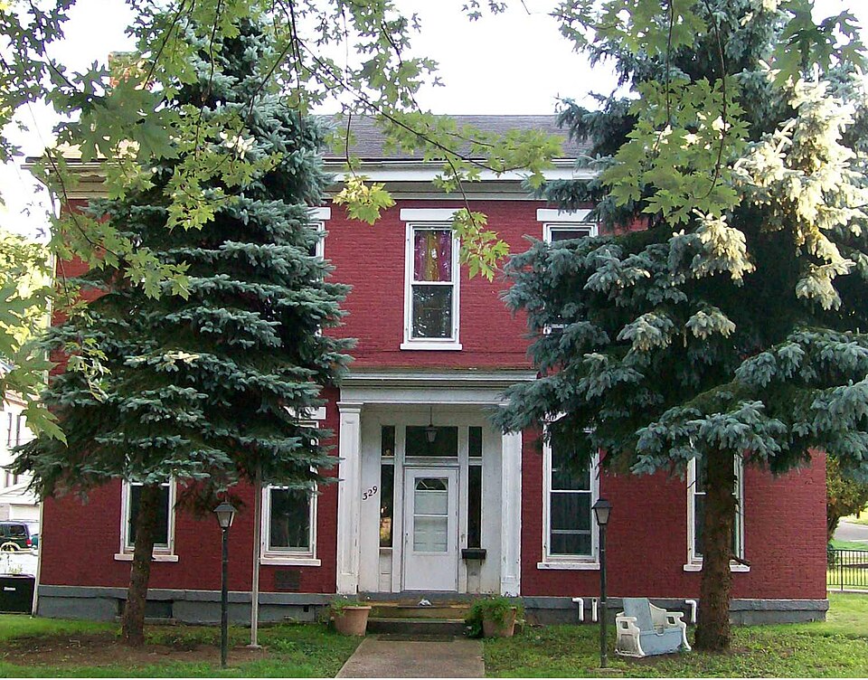
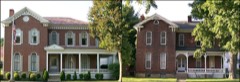
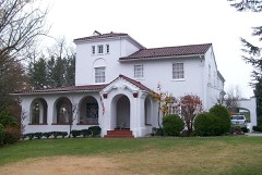
“The Joseph Kirkwood House is a historic house in the village of Bridgeport, Ohio, United States. Originally home to one of the area's oldest families, it was built in the middle of the nineteenth century in a mix of architectural styles.”
Wikipedia article Joseph Kirkwood House, CC BY-SA 4.0.
one of 15 National Register listings in Belmont County · listed in 1986 · category: Building.
National Register reference number.86000239- the number the National Park Service assigned this property when it was listed, and the key its nomination file is catalogued under at the National Archives.
The first legal settlement in what is now known as Pease township was made by Captain Kirkwood in the village of Kirkwood adjoining Bridgeport, in 1789. There were some tomahawk claims, made as early as 1785, on ground now embraced in Martin's Ferry, but these could not be held after the bloody attack upon the Kirkwood home, by the Indians in 1791, as heretofore related. Immigration was suspended for a few years. After the treaty of 1795, the Indians were peaceful for a time, and immigrants began to pour in from all sections of the country. The township was organized in 1806, and was called after Judge Pease, of the early courts.
Between 1825 and 1830 Bridgeport became a very important shipping point. Vast c|uantities of flour manufactitred by the' 30 grist mills in Pease township and vicinity with great quantities of farm produce and live stock were shipped on flatboats to the Southern markets.
Regional context, not property-specific
evidence. The
federal wildfire occurrence database
lists 22 fires within 5 miles of Kirkwood, Joseph, House between
1992 and 2020, burning about 32 acres in total. None started naturally. 3 were recorded as arson.
Distance is straight-line from the map coordinates, so a fire counted
here may appear on a neighbouring settlement's page as well.
Reported cause
Fires
Debris and open burning
14
Arson/incendiarism
3
Misuse of fire by a minor
2
Railroad operations and maintenance
1
Power generation/transmission/distribution
1
Equipment and vehicle use
1
The most recent of
them, most recent first, with the day each was reported and the service
that recorded it.
Regional context, not property-specific
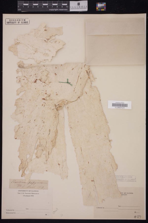
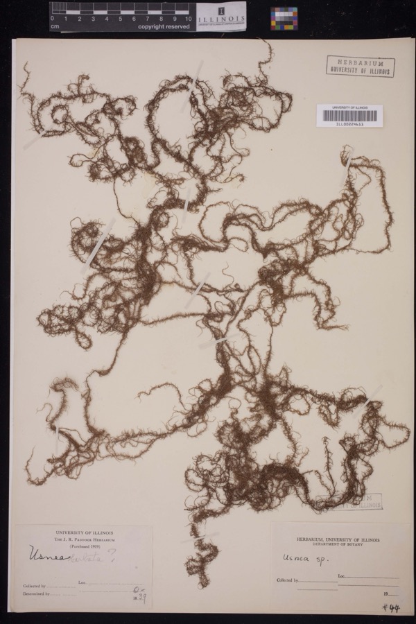
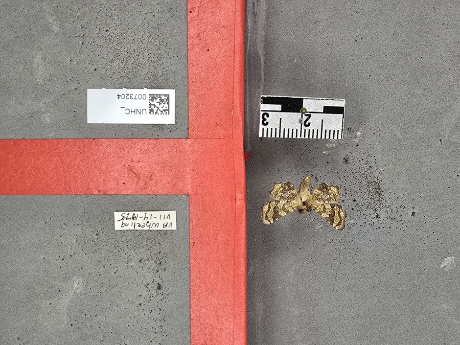
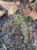
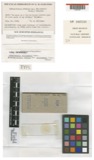
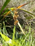
evidence. Museums hold 1,249 specimens
collected within 10 miles of Kirkwood, Joseph, House between 1800 and
1975: 1,039 Plantae, 117 Fungi, 91 Animalia, 2 Unrecorded. 12 distinct Species records are shown.
Collected by A. D. Selby, A. D. Selby & E. L. Moseley, A. D. Selby & J. F. Hicks and others. Each is a
physical object with a catalogue
number, and each entry opens the museum's record. This is what was
collected and kept, not a survey of what lives here - nothing can be
concluded from a species being absent.
Regional context, not property-specific
evidence. The federal mineral resources record lists
4 workings within 5 miles of Kirkwood, Joseph, House: 2 past producers, 1 unknown, 1 producer.
1 still produces. What was taken out: Limestone, General, Iron, Bituminous, Stone, Crushed/Broken. Distance is straight-line from the
map coordinates, so a quarry counted here may appear on a neighbouring
settlement's page as well.
Regional context, not property-specific
evidence. The National Weather Service names
Bridgeport, the town this property stands in, in 20 storm reports between 1995 and 2025: 10 thunderstorm wind, 4 flash flood, 3 flood, 2 hail.
No death or injury is recorded in these reports. Each account below is quoted exactly as the forecast office
filed it, from the NOAA Storm Events Database, and each date
opens the federal record of that event.
No historic map-sheet match is published
for this property yet. That does not mean no map exists. This record needs
a coordinate-quality review before it can be joined to a sheet boundary.
Browse the county's mapped places while that work is
pending.
Named in the fire insurance atlases
Sanborn surveyors printed an index of the
town's establishments at the front of each atlas. This property is named in
one, read straight off the scanned sheet.
When this property was proposed for the
National Register, someone wrote the case for it: what the building is,
and why it matters. That document is a federal record in the public domain.
It is quoted below word for word, never summarised. The text was read off the scanned case file by machine, so the
occasional stray character is the recogniser's and the 1970s
typewriter's.
Description of the property
styling is centered on the end wall of each of the front parlors (photo #3). the south end of the ell. Garland swag panel decorations were added ca. 1890 gained by a straight run stair parallel to the west parlor which discharges (photo #7) and a wood frame three-bay garage on the southeast corner of the The property was initially surveyed in 1978 by William M. Hooker on behalf of date ruins house opposite the kitchen entrance constructed at the same time as the house building.Each of these structures is one-story tall and built of brick with Revival trim is present throughout the interior with molding on the interior directly to the exterior.An original circular handrail of mahogany is 8.
Statement of significance
(in one paragraph) Criteria B & C Built by Joseph Kirkwood in 1846 with a large addition made in 1853, the Intact and in use as a home for mentally retarded residents by its present owner, Thresholds To Tomorrow. Joseph Kirkwood was the son of Robert Kirkwood, a Revolutionary War hero from Del aware who moved to eastern Ohio in 1789, becoming one of the earliest where he built a log cabin and blockhouse south of Wheel ing Creek and began to with them back to Delaware but later resumed his Indian fighting activities, bookkeeper in Delaware, married Margaret Gillespie in Newark, Delaware in 1806 to the north of Wheeling Creek: in: 1806 by Ebenezer Zane and his son-in-law, 1807. Joseph Kirkwood platted the village of Kirkwood, directly south of Bridgeport, in: 1834.
Unfortunately, little is known about Joseph Kirkwood's later years other than the fact that he and his wife had ten children, many of whom remained in the area, and he died on June 9, 1856. In the 1840 Census his occupation is listed as "agriculture"; by 1850 he had apparently retired north and south in 1873. large ell was added in 1853.
Greek Revival detailing is evident in the 1500-1599 1600-1699 1400-1499 1846 1700-1799 communications commerce 1800-1899 archeology-historic engineering industry conservation humanitarian education theater Period unknown military philosophy religion science literature Builder/Architect music Specific dates prehistoric agriculture law sculpture -politics/government transportation are two nineteenth century outbuildings with architectural detailing similar social/ homestead and took up farming, subsequently building the brick residence now -economics vernacular Greek Revival style residence and its outbuildings are today still Elijah Woods.o County histories state that Kirkwood's cabin and blockhouse as no occupation is included for him.
Quoted from the National Register nomination
for reference 86000239, 16 pages, held by the National Archives in Record
Group 79. See the
catalogue record.
Listed places nearby
6 within 8 miles
Other National Register properties close
enough to walk or drive between, ordered by distance from this one. Both
positions come from the same geocoding pass that matched these properties
to their map sheets.
Listing record. National Park Service National Register of Historic Places, listed-properties dataset, current to 2026-05-22.
Map join. Address geocoded through the United States Census geocoder, then tested against the published boundary of every sheet in the USGS Historical Topographic Map Collection.
How this page is made. Listing fields come from federal records; map-sheet coverage is a labelled coordinate-to-boundary calculation, not a source-field claim.
Wildfire. Short, Karen C. 2022. Spatial wildfire occurrence data for the United States, 1992-2020 [FPA_FOD_20221014]. 6th Edition. Fort Collins, CO: Forest Service Research Data Archive. https://doi.org/10.2737/RDS-2013-0009.6 Collected with United States Government funding and usable without additional permissions or fees.
Specimens. Global Biodiversity Information Facility (GBIF), https://www.gbif.org/. Only records licensed CC0 or CC BY are used. Records licensed CC BY-NC are excluded because this site carries advertising. Images are checked individually and any whose licence is non-commercial, no-derivatives or unreadable is refused.
Mines and quarries. USGS Mineral Resources Data System (MRDS) https://mrdata.usgs.gov/mrds/ A work of the United States government, no copyright under 17 U.S.C. 105.
Storms. NOAA National Centers for Environmental Information, Storm Events Database https://www.ncei.noaa.gov/stormevents/ A work of the United States government, no copyright under 17 U.S.C. 105. Narratives are quoted verbatim from the National Weather Service report and are not edited or summarised.
 Block
Block