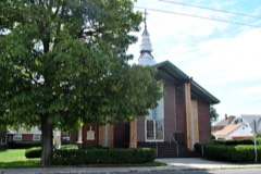
Listed on the National Register of Historic Places in
1982. A historic map-sheet match is not published yet. The record needs a coordinate-quality review before it can be joined to a sheet boundary.
From the record
one of 117 National Register listings in Montgomery County · listed in 1982 · category: Site · one of 4 National Historic Landmarks in Montgomery County.
National Register reference number.82001479- the number the National Park Service assigned this property when it was listed, and the key its nomination file is catalogued under at the National Archives.
Specimens collected near this property
12 of 968 shown
Regional context, not property-specific
evidence. Museums hold 968 specimens
collected within 10 miles of Miami-Erie Canal Lock No. 70 between 1835 and
1975: 822 Animalia, 85 Plantae, 56 Fungi, 3 Unrecorded, 1 Protozoa, 1 Chromista. 12 distinct Species records are shown.
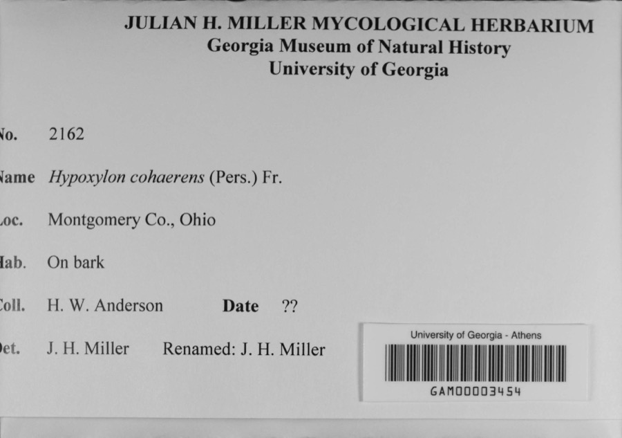
Collected by A. E. Foeerste, A. E. Foerste, A. F. Foerste and others. Each is a
physical object with a catalogue
number, and each entry opens the museum's record. This is what was
collected and kept, not a survey of what lives here - nothing can be
concluded from a species being absent.
Regional context, not property-specific
evidence. The federal mineral resources record lists
13 workings within 5 miles of Miami-Erie Canal Lock No. 70: 9 past producers, 3 producers, 1 plant.
4 still produce. What was taken out: Sand and Gravel, Construction, Stone, Crushed/Broken. Distance is straight-line from the
map coordinates, so a quarry counted here may appear on a neighbouring
settlement's page as well.
Regional context, not property-specific
evidence. The National Weather Service names
Huber Heights, the town this property stands in, in 1 storm report between 1995 and 1995: 1 thunderstorm wind.
No death or injury is recorded in these reports. Each account below is quoted exactly as the forecast office
filed it, from the NOAA Storm Events Database, and each date
opens the federal record of that event.
Thunderstorm winds blew out windows in a few houses on Timbercrest and Thistlewood roads. Parts of patios also were thrown across the street and into neighboring homes.
No historic map-sheet match is published
for this property yet. That does not mean no map exists. This record needs
a coordinate-quality review before it can be joined to a sheet boundary.
Browse the county's mapped places while that work is
pending.
From the nomination file
2,042 words on record
When this property was proposed for the
National Register, someone wrote the case for it: what the building is,
and why it matters. That document is a federal record in the public domain.
It is quoted below word for word, never summarised. The text was read off the scanned case file by machine, so the
occasional stray character is the recogniser's and the 1970s
typewriter's.
Description of the property
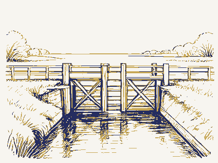
stone are about 12 in. high. Stones vary in length, some as short as a the stone has been polished, probably form friction against the hingepoles. At the south end, the walls are 171 in. apart (144 ft.!, and they lean At about the midpoint of the lock, a stone is missing from the East wall the stones, displacing them, causing the wall to lean inward about 15 in. and the remainder of the lock is 15 ft. long. Total: 120 ft. long- Along the east side of the lock is an earthen dam with the bypass channel fence at the south end. may formerly have been a loading dock.Many of these stones are displaced. as rectangular blocks, but_as triangles, mating an adjacent triangular down.
Several stones have fallen out, but all stones appear to be present ft.)indicating that the walls have collapsed slightly inward..The upper Some stones protrude as much as 6 or 8 in. 7. Description Miami-Erie Canal Lock No.70 is 1ocated about 400 ft. south of Fishburg The top row of stone is about 18 in.high.All the subsequent rows.of. Road.It consists of two parallel limestone walls 15 ft.apart and about foot, others as long as 3 ft., with.the joints staggered..The.stones At the south end, the southeast end.of the lock has collapsed and sunk 21/2 to3 ft.deep.At the north end,the walls are 175 in..apart _ excellent X original site X unaltered .moved date 120 ft. long. of the lock, measured to the top of the silt deposit, is 10 1/2 ft. It was originally 13 1/2 ft.
to the lower canal bed. Expansion from growth In the hinge pockets (quoins), The southeast end and accounted for in the stream bed, downstream. All the stones of the The lock notch in either wall is 10 ft.
/Architect N/A Statement of Significance (in one paragraph) last of three canal locks once found in Wayne Township and as a remnant of that great Miami-Erie Canal System. In a remarkably good state of preservation, the lock, now owned by the City O1 Huber Heights, will be.the historic focal point of a small park in that city (the lock sits on five acres owned by the City). The City is well aware of the lock's historic value and is committed to its preservation. As part of the Ohio Canal system, this MIAMI-ERIE CANAL LOCK NO. 70 represents a part of Ohio's history and should be recognized as a historic to be included on the National Register of Historic Places. The area is considered highly important from an archeological standpoint.
Although a factory which was once located adjacent to the nominated lock, archeologically the area this once thriving milling and tansportation area. 1700-1799 1600-1699 economics 1400-1499 1500-1599 education industry humanitarian invention music exploration/settlement law literature 8. Significance _communications conservation Xengineering 1900- The MIAMI-ERIE CANAL LOCK NO.7o has high historical significance as.the - archeology-prehistoric _ community planning . landscape architecture - _ religion _ transportation field survey revealed no visible evidence of the other twe locks or of the marble dust Period economic growth in the early 18oo's.For this reason,.this site deserves Lock No.
Quoted from the National Register nomination
for reference 82001479, 16 pages, held by the National Archives in Record
Group 79. See the
catalogue record.
Listed places nearby
6 within 8 miles
Other National Register properties close
enough to walk or drive between, ordered by distance from this one. Both
positions come from the same geocoding pass that matched these properties
to their map sheets.
Listing record. National Park Service National Register of Historic Places, listed-properties dataset, current to 2026-05-22.
Map join. Address geocoded through the United States Census geocoder, then tested against the published boundary of every sheet in the USGS Historical Topographic Map Collection.
How this page is made. Listing fields come from federal records; map-sheet coverage is a labelled coordinate-to-boundary calculation, not a source-field claim.
Specimens. Global Biodiversity Information Facility (GBIF), https://www.gbif.org/. Only records licensed CC0 or CC BY are used. Records licensed CC BY-NC are excluded because this site carries advertising. Images are checked individually and any whose licence is non-commercial, no-derivatives or unreadable is refused.
Mines and quarries. USGS Mineral Resources Data System (MRDS) https://mrdata.usgs.gov/mrds/ A work of the United States government, no copyright under 17 U.S.C. 105.
Storms. NOAA National Centers for Environmental Information, Storm Events Database https://www.ncei.noaa.gov/stormevents/ A work of the United States government, no copyright under 17 U.S.C. 105. Narratives are quoted verbatim from the National Weather Service report and are not edited or summarised.
 Block
Block