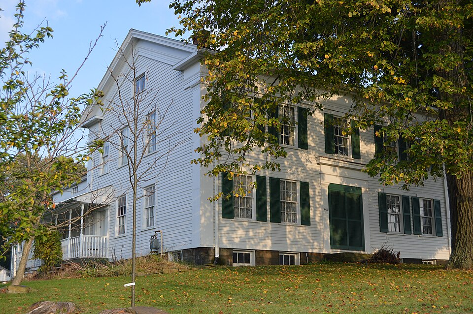
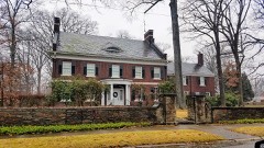
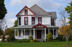
Listed on the National Register of Historic Places in
1982. A historic map-sheet match is not published yet. The record needs a coordinate-quality review before it can be joined to a sheet boundary.
From the record
one of 32 National Register listings in Trumbull County · listed in 1982 · category: Building · one of 1 National Historic Landmarks in Trumbull County.
National Register reference number.82001492- the number the National Park Service assigned this property when it was listed, and the key its nomination file is catalogued under at the National Archives.
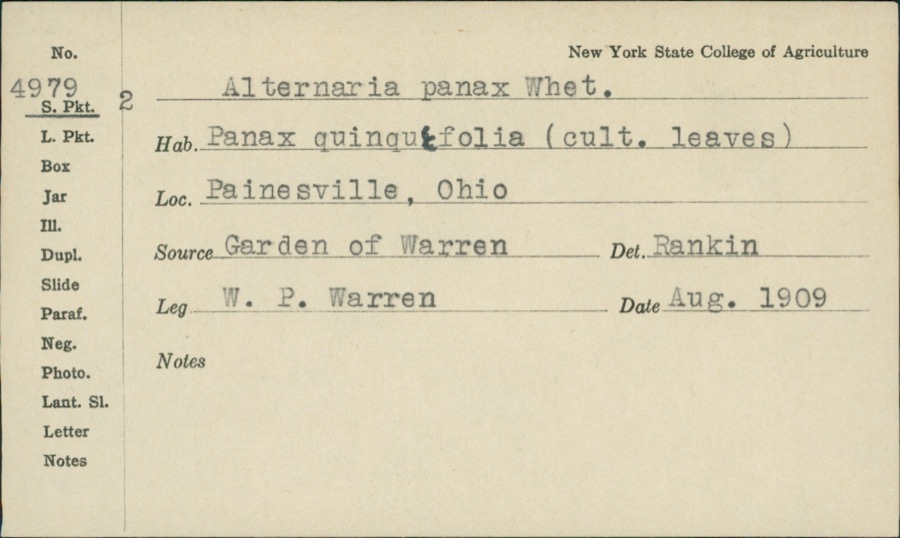
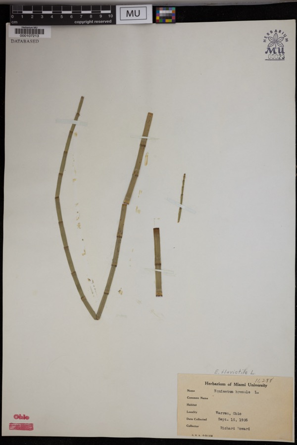
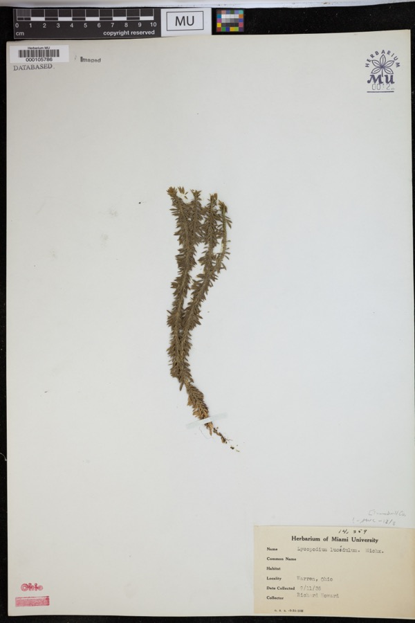
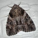
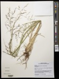
Specimens collected near this property
12 of 88 shown
Regional context, not property-specific
evidence. Museums hold 88 specimens
collected within 10 miles of Barnhisel, Henry II, House between 1890 and
1975: 79 Animalia, 6 Plantae, 2 Protozoa, 1 Fungi. 12 distinct Species records are shown.
Collected by A. F. Newton, M. K. Thayer, Berry, R., C CLARKE and others. Each is a
physical object with a catalogue
number, and each entry opens the museum's record. This is what was
collected and kept, not a survey of what lives here - nothing can be
concluded from a species being absent.
Regional context, not property-specific
evidence. The federal mineral resources record lists
2 workings within 5 miles of Barnhisel, Henry II, House: 1 plant, 1 producer.
All of them still produce. What was taken out: Titanium, Metal, Iron. Distance is straight-line from the
map coordinates, so a quarry counted here may appear on a neighbouring
settlement's page as well.
Regional context, not property-specific
evidence. The National Weather Service names
Girard, the town this property stands in, in 13 storm reports between 1998 and 2025: 10 thunderstorm wind, 1 hail, 1 tornado, 1 flash flood.
No death or injury is recorded in these reports. Each account below is quoted exactly as the forecast office
filed it, from the NOAA Storm Events Database, and each date
opens the federal record of that event.
An EF0 tornado touched down in Girard, Ohio at the intersection of Park Avenue and Smithsonian Street. Maximum winds were estimated between 60 and 70 mph. The storm tracked east northeast at approximately 25 mph to Warner Road east of Loganway Avenue. The tornado was in contact with the ground intermittently during its 4 mile path length from Girard across Liberty Township. The damage path was generally 25 yards in width. Most of the damage occurred to trees. Trees were snapped and uprooted. At least 4 cars were damaged by falling trees. Branches were downed. Minor damage was also observed to roof tops, chimneys, signs and out buildings.
Heavy rain fell over southern portions of Trumbull County on the afternoon of the 2nd. Rainfall rates were measured at around 4/hr earlier in the storm, and conditions appeared to be unchanged when the storm moved over the town of Girard. The torrential rain caused flooding on U.S. Route 422 at Smithsonian Street, Kline and Broadway, Patricia Drive and Park Avenue. There was also considerable basement and yard flooding.
No historic map-sheet match is published
for this property yet. That does not mean no map exists. This record needs
a coordinate-quality review before it can be joined to a sheet boundary.
Browse the county's mapped places while that work is
pending.
From the nomination file
1,401 words on record
When this property was proposed for the
National Register, someone wrote the case for it: what the building is,
and why it matters. That document is a federal record in the public domain.
It is quoted below word for word, never summarised. The text was read off the scanned case file by machine, so the
occasional stray character is the recogniser's and the 1970s
typewriter's.
Description of the property
have been prepared for the owner by an architect.Chimney repairs and Areas of Significance-Check and justify below - archeology-historic -agriculture _ sculpture X architecture X social/ _ music - politics/government other (specify) ca. 1840 some of the most important families of Trumbull County, and the under- with a lengthwise facade and a central hall. Henry Barnhisel, Sr., purchased 318 acres in the Connecticut Western the Barnhisel house was built around 1840. locally reported to have been a station on the underground railroad, but like the majority of such places, there is no documentary evidence Barnhisel's daughter Frances married William Tod, son of Governor Tod. 1600-1699 1400-1499 County.
1500-1599 1700-1799 economics transportation communications commerce engineering humanitarian industry conservation Period invention Builder/Architect theater military science 1900- education prehistoric literature Specific dates architecture stand somewhat in contrast to the basically conservative plan law Ohio.It carries associations for the people of Girard of an early settler, The Barnhisel house is not only an excellent surviving example of the ground railroad.For its date, the robust Greek Revival details of its 8.
Statement of significance
(in one paragraph) (later governor of Ohio) and three other well-known citizens in the early X_1800-1899 Other relations by marriage included members of the Wick, Stambaugh, community.In 186l Barnhisel was one of the three school directors responsible for building the first brick school in Girard.The house is history of the Western Reserve formed a company to plat the town of daughter of one of Youngstown's first businessmen.In 1836,David Tod because of the illegal nature of the undertaking. children.Henry Barnhisel II acquired the property after the death of his -art -archeology-prehistoric - community planning exploration/settlement _ -philosophy father in 1824. purchased several hundred additional acres adjoining his property, and Girard adjacent to the Barnhisel land.
During the 1830s, Barnhisel In 1833, young Barnhisel married Susan Townsend, The home of Henry Barnhisel IIis the oldest remaining structure in Girard, Reserve of Ohio in 1803 and settled on the land with his wife and eleven Harriet Taylor Upton, History of Trumbull County, Ohio (1909). H. Z. Williams, History of Trumbull and Mahoning Counties (1882).
Quoted from the National Register nomination
for reference 82001492, 12 pages, held by the National Archives in Record
Group 79. See the
catalogue record.
Listed places nearby
6 within 8 miles
Other National Register properties close
enough to walk or drive between, ordered by distance from this one. Both
positions come from the same geocoding pass that matched these properties
to their map sheets.
Listing record. National Park Service National Register of Historic Places, listed-properties dataset, current to 2026-05-22.
Map join. Address geocoded through the United States Census geocoder, then tested against the published boundary of every sheet in the USGS Historical Topographic Map Collection.
How this page is made. Listing fields come from federal records; map-sheet coverage is a labelled coordinate-to-boundary calculation, not a source-field claim.
Specimens. Global Biodiversity Information Facility (GBIF), https://www.gbif.org/. Only records licensed CC0 or CC BY are used. Records licensed CC BY-NC are excluded because this site carries advertising. Images are checked individually and any whose licence is non-commercial, no-derivatives or unreadable is refused.
Mines and quarries. USGS Mineral Resources Data System (MRDS) https://mrdata.usgs.gov/mrds/ A work of the United States government, no copyright under 17 U.S.C. 105.
Storms. NOAA National Centers for Environmental Information, Storm Events Database https://www.ncei.noaa.gov/stormevents/ A work of the United States government, no copyright under 17 U.S.C. 105. Narratives are quoted verbatim from the National Weather Service report and are not edited or summarised.
 Block
Block