Listed on the National Register of Historic Places in
1975. A historic map-sheet match is not published yet. The record needs a coordinate-quality review before it can be joined to a sheet boundary.
From the record
“The National McKinley Birthplace Memorial is a presidential memorial in Niles, Ohio, built in honor of William McKinley, the 25th president of the United States. Built between 1915 and 1917, it is a 232 by 136 by 38 ft Beaux-Arts marble monument with two wings.”
Wikipedia article National McKinley Birthplace Memorial, CC BY-SA 4.0.
one of 32 National Register listings in Trumbull County · listed in 1975 · category: Building · one of 1 National Historic Landmarks in Trumbull County.
National Register reference number.75001544- the number the National Park Service assigned this property when it was listed, and the key its nomination file is catalogued under at the National Archives.
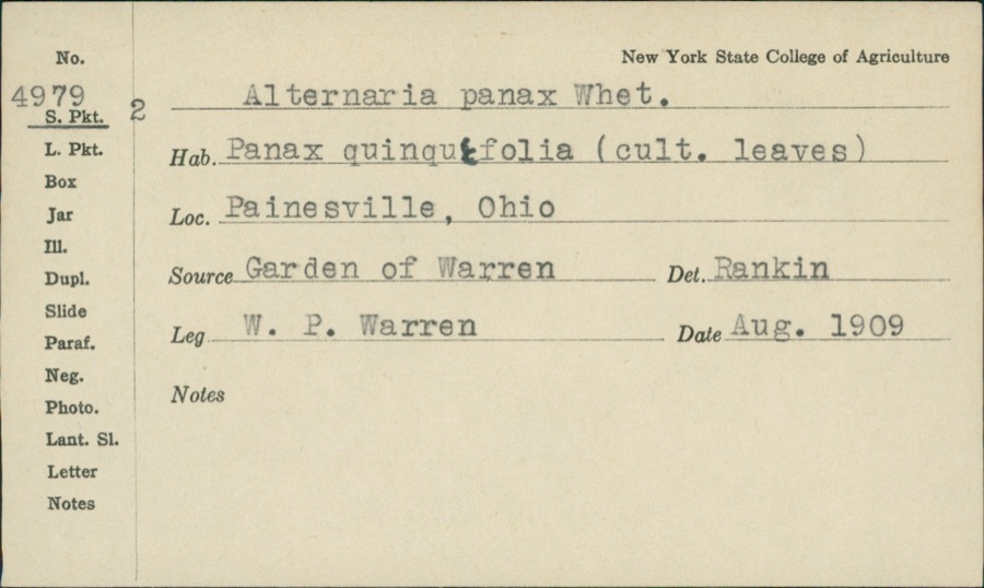
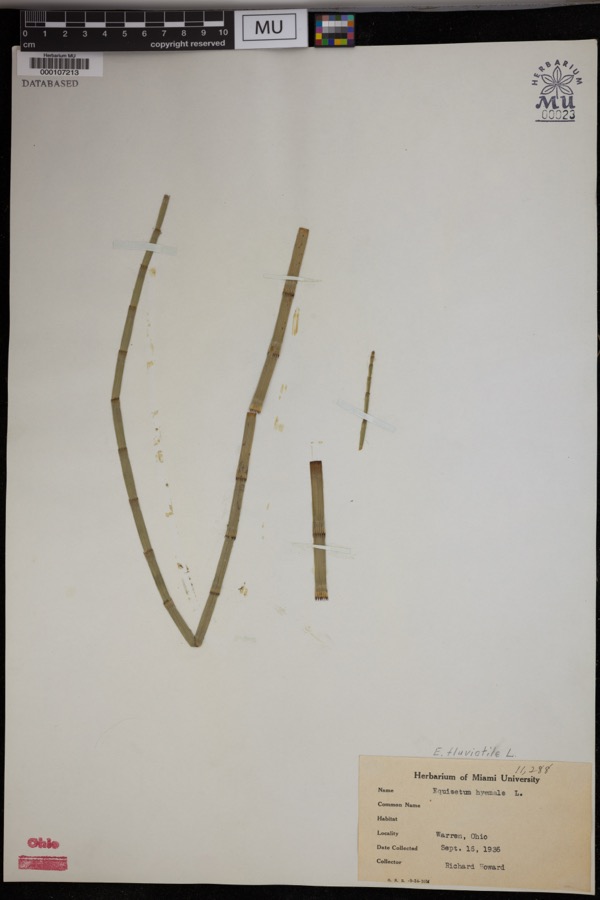
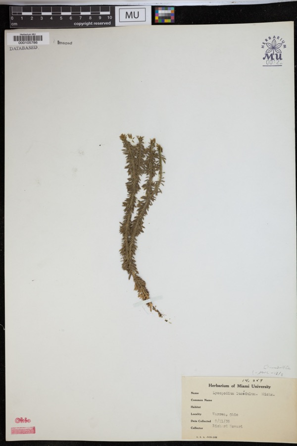
Specimens collected near this property
12 of 160 shown
Regional context, not property-specific
evidence. Museums hold 160 specimens
collected within 10 miles of McKinley Memorial between 1890 and
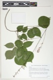
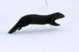
1975: 144 Animalia, 9 Plantae, 3 Fungi, 2 Protozoa, 2 Chromista. 12 distinct Species records are shown.
Collected by Bednarik, K. (Karl), Berry, R., Buker, W.E. and others. Each is a
physical object with a catalogue
number, and each entry opens the museum's record. This is what was
collected and kept, not a survey of what lives here - nothing can be
concluded from a species being absent.
Regional context, not property-specific
evidence. The federal mineral resources record lists
4 workings within 5 miles of McKinley Memorial: 3 producers, 1 plant.
All of them still produce. What was taken out: Iron, Titanium, Metal. Distance is straight-line from the
map coordinates, so a quarry counted here may appear on a neighbouring
settlement's page as well.
Regional context, not property-specific
evidence. The National Weather Service names
Niles, the town this property stands in, in 28 storm reports between 1996 and 2021: 13 thunderstorm wind, 12 hail, 2 flash flood, 1 flood.
No death or injury is recorded in these reports. Each account below is quoted exactly as the forecast office
filed it, from the NOAA Storm Events Database, and each date
opens the federal record of that event.
Video of several inches to foot deep water rapidly flowing through backyards up against homes in the Bentwillow Drive neighborhood in Niles. Reports of several basements flooded in this area. A pond overflowed onto Niles Vienna Road in Vienna Township, where a car hydroplaned through the flowing water and ended up submerged in the pond. KYNG ASOS nearby reported 2.36 of rainfall in a 40 minutes period.
Thunderstorm winds were estimated at 60 mph along Interstate 80 near Niles. Many trees were downed in Warren and Niles. At least one house was damaged by fallen trees in Warren.
Heavy rainfall with estimates around 2 inches fell across the upper Mahoning River Basin on January 12th. Flooding across Trumbull County produced damages to MetroParks in Braceville and Warren Townships. Numerous local roads were closed due to flooding. ||Road Closures. |Roads in Warren City and Township, Farmington, Lordstown, Weathersfield, Southington, Hubbard City and Township, Johnston, Brookfield, Vienna and Champion, were reported flooded.|Addison Road, between Route 82 and Route 62 in Brookfield|State Route 87 between State Route 543 and State Route 45|Pine Avenue SE in Warren|Several roads near Eagle Creek Road, including a portion of Barclay-Messerly, Nelson Mosier Road, and Braceville-Robinson Road|Route 45, just north of Calla Road in Beaver Township|Western Reserve Road, between Youngstown-Salem Road and Knauf Road in Canfield|The Salt Springs Road exit off of Interstate 680 northbound ||The Mahoning River was elevated with flooding reported at the Eagle Creek at Braceville (Phalanx Station) which crested at 12.9'. Leavittsburg and Warren reached moderate flood stages.
No historic map-sheet match is published
for this property yet. That does not mean no map exists. This record needs
a coordinate-quality review before it can be joined to a sheet boundary.
Browse the county's mapped places while that work is
pending.
From the nomination file
2,551 words on record
When this property was proposed for the
National Register, someone wrote the case for it: what the building is,
and why it matters. That document is a federal record in the public domain.
It is quoted below word for word, never summarised. The text was read off the scanned case file by machine, so the
occasional stray character is the recogniser's and the 1970s
typewriter's.
Description of the property
of imposing size and most graceful design.It is open to the sky in The Court of Honor is supported by twenty-eight monolithic marble columns and promises to be a major financial problem. The Memorial Park was originally designed to occupy the entire square,
Statement of significance
Act by the 61st Congress, 3rd Session, signed by President Taft on March 4, 1911, to perpetuate the name and achievements of William to erect or maintain this Memorial, only private donations were- The McKinley Memorial was built on the site of the little school house that he first attended, and within 1/2 block of the home in which he the ,accidents of passing years to house the collection of Mckinley who revere the virtues of our Twenty-fifth President, as one of the The Mckinley Memorial, is important to Niles since it occupies the major green space in the heart of the city of Niles, and, is a major focal and commercial life. received. Conservation Architecture Transportation losophy memorabilia. Communications Commerce Aboriginal was born.
Science itarian Theater Agriculture Music Pre-Columbian Landscape Social/Human- Sculpture point, consciously and subconsciously, for a downtown fighting for its The Memorial has been praised by insurance adjusters during the years economic viability in the face of shopping center competition. for premium evaluation as being safe from destruction by fire or by The National McKinley Birthplace Memorial was.incorporated under an The Memorial houses one of the most notable collections of the relics McKinley.It is significant that no public funds have been received most loved of all Presidents.
The Memorial has become a Mecca for people from all parts of the world Art Military of McKinley to be found in the country, and is a most suitable place 18th Century PERIOD (Check One or More as Appropriate) for the preservation and display of such, relics: i. - Other (Specify) Religion/Phi AREAS OF SIGNIFICANCE (Check One or More as Appropriate) 9.
Quoted from the National Register nomination
for reference 75001544, 20 pages, held by the National Archives in Record
Group 79. See the
catalogue record.
Listed places nearby
6 within 8 miles
Other National Register properties close
enough to walk or drive between, ordered by distance from this one. Both
positions come from the same geocoding pass that matched these properties
to their map sheets.
Listing record. National Park Service National Register of Historic Places, listed-properties dataset, current to 2026-05-22.
Map join. Address geocoded through the United States Census geocoder, then tested against the published boundary of every sheet in the USGS Historical Topographic Map Collection.
How this page is made. Listing fields come from federal records; map-sheet coverage is a labelled coordinate-to-boundary calculation, not a source-field claim.
Specimens. Global Biodiversity Information Facility (GBIF), https://www.gbif.org/. Only records licensed CC0 or CC BY are used. Records licensed CC BY-NC are excluded because this site carries advertising. Images are checked individually and any whose licence is non-commercial, no-derivatives or unreadable is refused.
Mines and quarries. USGS Mineral Resources Data System (MRDS) https://mrdata.usgs.gov/mrds/ A work of the United States government, no copyright under 17 U.S.C. 105.
Storms. NOAA National Centers for Environmental Information, Storm Events Database https://www.ncei.noaa.gov/stormevents/ A work of the United States government, no copyright under 17 U.S.C. 105. Narratives are quoted verbatim from the National Weather Service report and are not edited or summarised.
 Block
Block