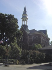
Listed on the National Register of Historic Places in
1982. A historic map-sheet match is not published yet. The record needs a coordinate-quality review before it can be joined to a sheet boundary.
From the record
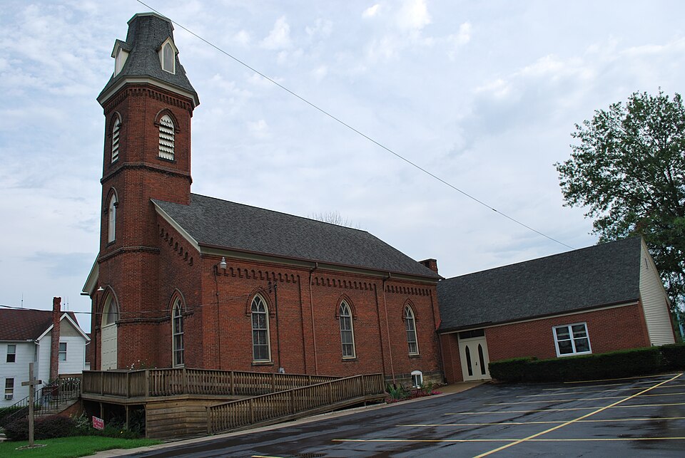
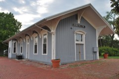
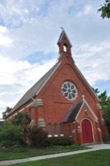
“Union Church is a historic church at 511 Church Street in Kipton, Ohio.”
Wikipedia article Union Church (Kipton, Ohio), CC BY-SA 4.0.
one of 113 National Register listings in Lorain County · listed in 1982 · category: Building · one of 2 National Historic Landmarks in Lorain County.
National Register reference number.82003606- the number the National Park Service assigned this property when it was listed, and the key its nomination file is catalogued under at the National Archives.
Specimens collected near this property
12 of 1,627 shown
Regional context, not property-specific
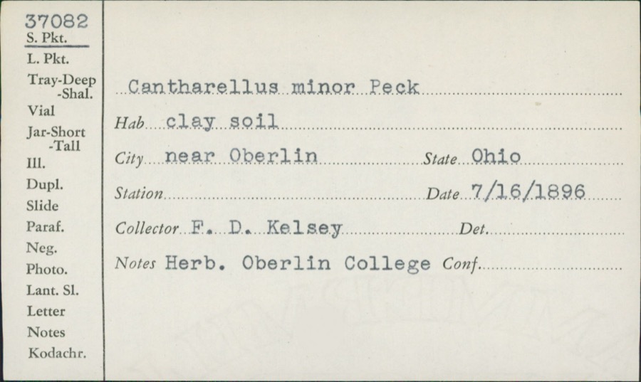
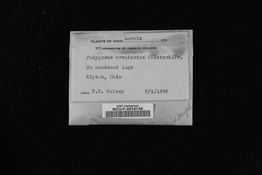
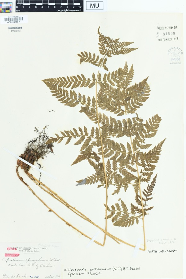
evidence. Museums hold 1,627 specimens
collected within 10 miles of Union Church between 1852 and
1975: 787 Animalia, 584 Fungi, 224 Plantae, 13 Protozoa, 13 Chromista, 6 Unrecorded. 12 distinct Species records are shown.
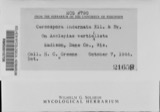
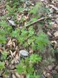
Collected by A. E. Recksecker, A. E. Ricksecker, A. M. Evans and others. Each is a
physical object with a catalogue
number, and each entry opens the museum's record. This is what was
collected and kept, not a survey of what lives here - nothing can be
concluded from a species being absent.
Regional context, not property-specific
evidence. The National Weather Service names
Kipton, the town this property stands in, in 9 storm reports between 1998 and 2026: 6 thunderstorm wind, 2 hail, 1 tornado.
No death or injury is recorded in these reports. Each account below is quoted exactly as the forecast office
filed it, from the NOAA Storm Events Database, and each date
opens the federal record of that event.
A small tornado touched down four miles northeast of Kipton in Henrietta Township near the intersection of Garfield and Baumhart Roads. The tornado was on the ground for approximately 200 yards and had a damage path up to 50 yards in width. One home sustained some minor damage. Several trees and a power pole were downed. Some crop damage also occurred in a nearby field.
No historic map-sheet match is published
for this property yet. That does not mean no map exists. This record needs
a coordinate-quality review before it can be joined to a sheet boundary.
Browse the county's mapped places while that work is
pending.
From the nomination file
1,956 words on record
When this property was proposed for the
National Register, someone wrote the case for it: what the building is,
and why it matters. That document is a federal record in the public domain.
It is quoted below word for word, never summarised. The text was read off the scanned case file by machine, so the
occasional stray character is the recogniser's and the 1970s
typewriter's.
Description of the property
that was located just at the edge of town. 1s a second set of large wooden doors (like the outside ones) The altar area was changed, a pipe organ installed, the basement CONDITION DATE DETERIORATED ALTERED MOVED FAIR building has remained unaltered. CHECK ONE EXCELLENT The large doors leading into the church are the original The sanctuary itself has been extensively redecorated and doors is a beautiful stained glass window containing the original structure.It still retains the stark beauty from years gone by. that most church towers built during this time period were typi- original structure was built.To the rear was added a choir The Kipton Community Church is a rather small rural church.
room and pastor's study on the upper level;a kitchen on the Even the additions to the building have not altered the original was remodeled, and an addition to the rear and rear-west of the -UNEXPOSED -GOOD fellowship hall. In 1974, the second redecorating and remodeling fixtures were replaced, and carpeting laid. In 1976, the There RUINS stained glass windows were repaired. remodeled twice in its history. The window also depicts Above these wooden doors.The only change made here is that they were reversed The foundation of the name of the church--The Union Church. are the originals and still present. This church is located on a quiet, tree-lined street. building is made of huge sandstone blocks cut from a local quarry The first time was in 1963.
which lead from the vestibule into the sanctuary. so that they open to the outside instead of to the inside. AREAS OF
Statement of significance
_ECONOMICS _1400-1499 _PREHISTORIC There were about a dozen members of the Methodist and Episcopal the lot on which the church stands to the trustees and their Hardy in l879.In the cornerstone is a sealed tin box containing - TRANSPORTATION faith and all of the area Baptists who joined in the movement Roswell Hardy was the original owner of this parcel of land, _SOCIAL/HUMANITARIAN _COMMERCE a little history of the church, names of the building _THEATER located on Lot 2 in the village of Binghamton Kipton). In l92l, the people of this small community decided to - MILITARY _1900- It retains, on the outside, all of the original features, such Gothic architecture in the township. It was built in 1879.
as the unaltered structure, the window frames, stained glass INVENTION successors. in Kipton. disband the two churches in this vicinity--namely the Disciple and C.T.Buckley did the carpentry work.The cornerstone was Church and The Union Church.It was decided to have just one Items of interest include the fact that there are still cut at the local quarry by George Stetter and laid by Charles Church.The building that they would use, is the one presently It is the largest and best preserved example of The deed was finally signed over to the church on charge of the stone work;Charles Hardy did the brick work; The bell in the tower was cast by the ing into the chunch. Roswell and Mary Hardy deeded to build a church in this area.
Quoted from the National Register nomination
for reference 82003606, 13 pages, held by the National Archives in Record
Group 79. See the
catalogue record.
Listed places nearby
6 within 8 miles
Other National Register properties close
enough to walk or drive between, ordered by distance from this one. Both
positions come from the same geocoding pass that matched these properties
to their map sheets.
Listing record. National Park Service National Register of Historic Places, listed-properties dataset, current to 2026-05-22.
Map join. Address geocoded through the United States Census geocoder, then tested against the published boundary of every sheet in the USGS Historical Topographic Map Collection.
How this page is made. Listing fields come from federal records; map-sheet coverage is a labelled coordinate-to-boundary calculation, not a source-field claim.
Specimens. Global Biodiversity Information Facility (GBIF), https://www.gbif.org/. Only records licensed CC0 or CC BY are used. Records licensed CC BY-NC are excluded because this site carries advertising. Images are checked individually and any whose licence is non-commercial, no-derivatives or unreadable is refused.
Storms. NOAA National Centers for Environmental Information, Storm Events Database https://www.ncei.noaa.gov/stormevents/ A work of the United States government, no copyright under 17 U.S.C. 105. Narratives are quoted verbatim from the National Weather Service report and are not edited or summarised.
 Block
Block