Listed on the National Register of Historic Places in
1973. A historic map-sheet match is not published yet. The record needs a coordinate-quality review before it can be joined to a sheet boundary.
From the record
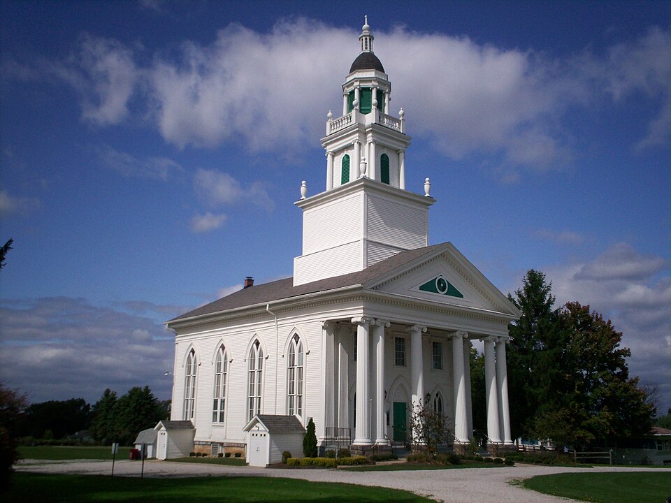
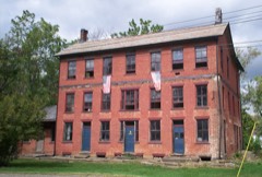
“Atwater Congregational Church is a registered historic building in Atwater, Ohio, United States, listed on the National Register of Historic Places since February 23, 1973. It was built in 1841 and incorporates elements of both the Federal and Greek Revival styles and stands over 100 feet (30 m) tall.”
Wikipedia article Atwater Congregational Church, CC BY-SA 4.0.
one of 42 National Register listings in Portage County · listed in 1973 · category: Building.
National Register reference number.73001517- the number the National Park Service assigned this property when it was listed, and the key its nomination file is catalogued under at the National Archives.
The ground it stands on
4,882 words
The chapter on Atwater Township in History of Portage County, Ohio, published 1885 names Atwater. This is what it says, exactly as the scans read.
In April, 1799, Capt. Caleb Atwater, in company with Jonathan Merrick, Peter Bunnell, Asahel Blakesley and Asa Hall and his wife, left Wallingford, Conn., and after a long and tedious journey arrived in what is now the township of Atwater. The entire party remained till the following fall, when they all returned to the East with the exception of Asa Hall and wife, who came for permanent settlement, and having put up a cabin during the spring, settled down to make themselves as comfortable as the circumstances would admit, and from that time till the spring of 1801 they were the only white persons living in the township; in fact, there were only six or seven other settlers in the entire county, there being one in Mantua, one in Ravenna, one in Aurora, one or two in Deerfield, and one in Palmyra; his nearest neighbor being Lewis Ely, in Deerfield.
As soon as the party of Capt. Atwater arrived they began surveying the township into lots and laying out roads, and many were the hardships encountered by those hardy old adventurers, but they were made of the material and had the wills to withstand all the privations with which they came in contact. Shortly after their arrival the horses of the party broke loose and ran off into the dense forest. Jonathan Merrick started after them in the morning, but soon became lost in the woods, and wandered around till evening, when he found himself on the banks of the Mahoning, near the southeast corner of the township. The next day he continued his search, but with no luck, and still not knowing exactly where he was, but on the third day had better success, reaching camp in the afternoon. He was almost exhausted with fatigue and hunger, and had been given up by his companions, who thought he must have been devoured by wild beasts, or killed by some roving band of Indians.
Regional context, not property-specific
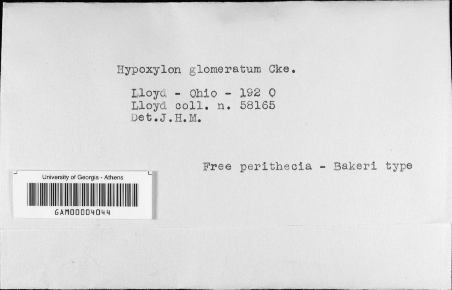
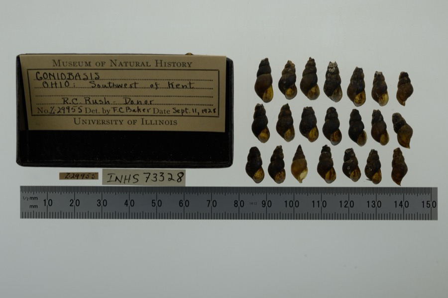
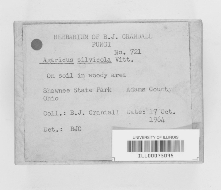
evidence. Museums hold 102 specimens
collected within 10 miles of Atwater Congregational Church between 1880 and
1971: 86 Animalia, 10 Fungi, 6 Plantae. 12 distinct Species records are shown.
Collected by Allen, E. J., B. J. Crandall, B.J.Crandall and others. Each is a
physical object with a catalogue
number, and each entry opens the museum's record. This is what was
collected and kept, not a survey of what lives here - nothing can be
concluded from a species being absent.
Regional context, not property-specific
evidence. The federal mineral resources record lists
2 workings within 5 miles of Atwater Congregational Church: 2 producers.
All of them still produce. What was taken out: Sand and Gravel, Construction. Distance is straight-line from the
map coordinates, so a quarry counted here may appear on a neighbouring
settlement's page as well.
Regional context, not property-specific
evidence. The National Weather Service names
Atwater, the town this property stands in, in 20 storm reports between 2002 and 2021: 10 hail, 9 thunderstorm wind, 1 flood.
No death or injury is recorded in these reports. Each account below is quoted exactly as the forecast office
filed it, from the NOAA Storm Events Database, and each date
opens the federal record of that event.
Showers and thunderstorms along a stationary front brought around 1.5 of rainfall to Portage County. Recent rain prevented the ground from absorbing much if any of this rain, resulting in almost complete runoff. Several streets were inundated with as much as a foot of water, and the Atwater Water Treatment Plant experienced flooding.
No historic map-sheet match is published
for this property yet. That does not mean no map exists. This record needs
a coordinate-quality review before it can be joined to a sheet boundary.
Browse the county's mapped places while that work is
pending.
From the nomination file
1,788 words on record
When this property was proposed for the
National Register, someone wrote the case for it: what the building is,
and why it matters. That document is a federal record in the public domain.
It is quoted below word for word, never summarised. The text was read off the scanned case file by machine, so the
occasional stray character is the recogniser's and the 1970s
typewriter's.
Description of the property
base, and above the columns that carry the lantern. Carillon chimes design. Fair A three-stage tower dominates the building.The first stage is square,as second story has three rectangular windows.There is a paneled pediment RECEIVED The outermost columns are paired, I.T.Frary felt there was evidence that the tower was added at a been covered with a metal ceiling some years earlier.T portico which has six lonic columns. shingle and in 1972 the bases of the six portieg
Statement of significance
Atwater was organized into a distinct township, five miles square, on April later a small brick church was built. In 1826, Capt. Caleb Atwater In the fall of 1836 it was decided to build a larger building and in 1837, stone and timber were brought from Charlestown, six miles away. After some Deacon Jonathan Baldwin, though quite ill, was brought from his home to It was dedicated November 7, 1841. The Atwater Congregational Church, located on a knoll, one of the highest points in Atwater, just west of the village green, is today in worship.
Conservation Commerce losophy Military Communications Engineering Religion/Phi Architecture Aboriginal Music NATIONAL Landscape Literature Prehistoric Agriculture Science Invention Specify) Education Sculpture Political Industry June 1799 when Capt.Atwater and a few others arrived from Connecticut to Social/Hum Atwater township was a part of the Connecticut Western Reserve and was the close not the slightest accident had occured during the erection. for an occasional visit by a Home Missionary who called the people together the settlement grew very slowly.
begin a settlement.Because of the long journey and the hardships involved Like most new settlements, little attention was paid to religion, except Atwater's land was sold and the proceeds applied to the building fund.The for a preaching service.In 1808,the Rev. Mr.Leslie preached at the owned by Capt.Caleb Atwater.Indians were the only inhabitants until home of Major Mansfield on the Sabbath.This is believed to be the first delay the building was begun in 1838.When the frame was ready for erection, leased the church and society 200 acres of land the profit arising from meetings on Sunday in a log school house.
Quoted from the National Register nomination
for reference 73001517, 10 pages, held by the National Archives in Record
Group 79. See the
catalogue record.
Listed places nearby
3 within 8 miles
Other National Register properties close
enough to walk or drive between, ordered by distance from this one. Both
positions come from the same geocoding pass that matched these properties
to their map sheets.
Listing record. National Park Service National Register of Historic Places, listed-properties dataset, current to 2026-05-22.
Map join. Address geocoded through the United States Census geocoder, then tested against the published boundary of every sheet in the USGS Historical Topographic Map Collection.
How this page is made. Listing fields come from federal records; map-sheet coverage is a labelled coordinate-to-boundary calculation, not a source-field claim.
Specimens. Global Biodiversity Information Facility (GBIF), https://www.gbif.org/. Only records licensed CC0 or CC BY are used. Records licensed CC BY-NC are excluded because this site carries advertising. Images are checked individually and any whose licence is non-commercial, no-derivatives or unreadable is refused.
Mines and quarries. USGS Mineral Resources Data System (MRDS) https://mrdata.usgs.gov/mrds/ A work of the United States government, no copyright under 17 U.S.C. 105.
Storms. NOAA National Centers for Environmental Information, Storm Events Database https://www.ncei.noaa.gov/stormevents/ A work of the United States government, no copyright under 17 U.S.C. 105. Narratives are quoted verbatim from the National Weather Service report and are not edited or summarised.
 Block
Block