Listed on the National Register of Historic Places in
1983. A historic map-sheet match is not published yet. The record needs a coordinate-quality review before it can be joined to a sheet boundary.
From the record
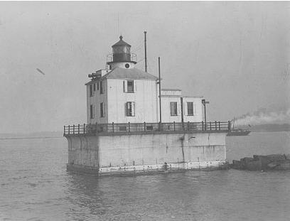
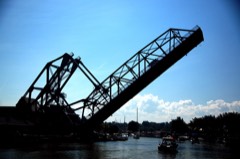
“Ashtabula Harbor Light is a lighthouse in Ashtabula, Ohio. It was listed in the National Register on August 8, 1983.”
Wikipedia article Ashtabula Harbor Light, CC BY-SA 4.0.
one of 36 National Register listings in Ashtabula County · listed in 1983 · category: Structure · one of 1 National Historic Landmarks in Ashtabula County.
Also known as. U.S. Coast Guard Lighthouses and Light Stations on the Great Lakes TR
Township. County subdivisions not defined
National Register reference number.83001943- the number the National Park Service assigned this property when it was listed, and the key its nomination file is catalogued under at the National Archives.
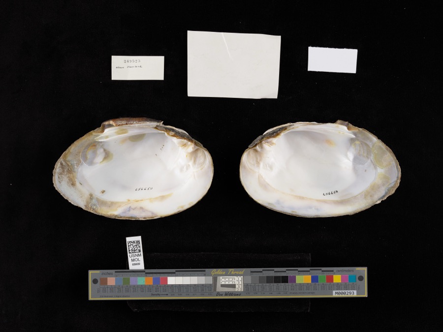
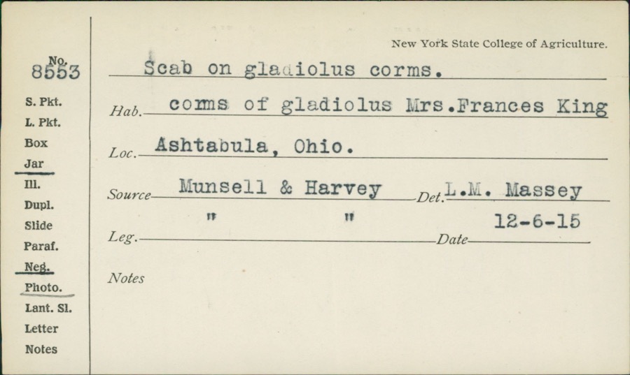
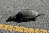
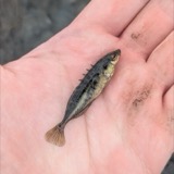
Specimens collected near this property
12 of 695 shown
Regional context, not property-specific
evidence. Museums hold 695 specimens
collected within 10 miles of Ashtabula Harbor Light between 1872 and
1975: 615 Animalia, 71 Plantae, 7 Fungi, 1 Unrecorded, 1 Chromista. 12 distinct Species records are shown.
Collected by A. Woolman, Baumgardner, L., Baumgartner, L. and others. Each is a
physical object with a catalogue
number, and each entry opens the museum's record. This is what was
collected and kept, not a survey of what lives here - nothing can be
concluded from a species being absent.
Regional context, not property-specific
evidence. The federal mineral resources record lists
8 workings within 5 miles of Ashtabula Harbor Light: 4 past producers, 2 plants, 1 producer, 1 unknown.
3 still produce. What was taken out: Sand and Gravel, Construction, Titanium, Metal, Iron, Titanium, Pigment. Distance is straight-line from the
map coordinates, so a quarry counted here may appear on a neighbouring
settlement's page as well.
Regional context, not property-specific
evidence. The National Weather Service names
Ashtabula, the town this property stands in, in 48 storm reports between 1994 and 2025: 30 thunderstorm wind, 14 hail, 4 flash flood.
No death or injury is recorded in these reports. Each account below is quoted exactly as the forecast office
filed it, from the NOAA Storm Events Database, and each date
opens the federal record of that event.
Widespread basement and street flooding in Ashtabula, with several videos of flowing water of six inches or more across roadways. Radar estimated 2.75 to 3.5 inches of rainfall in a two to three hour period, which roughly equates to a 50 year recurrence interval.
Several roads closed due to flowing high water. Vehicles stranded in high water at West Avenue and West 34th Street, West 58th Street and Jefferson Road. Underpass on Main Avenue inundated with 5 to 6 feet of water, stranding a vehicle. Several reports of flooded basements in the area.
An ice jam on the Ashtabula River at Northcoast Marina and Yacht Club broke loose and snapped the docks apart like twigs. The river also flooded bottom land and at least one road. Other rural roads were flooded by melting piles of snow.
Widespread road flooding in Ashtabula and Plymouth areas. Some reports of basement flooding as well. Many of the roads flooded due to creeks coming out of their banks. A few cars stranded in a flooded underpass on Main Avenue in Ashtabula. Radar estimated 4 to 5.5 inches of rainfall in a 1.5 to 3 hour period. Two rain gauge reports in Plymouth reported nearly 6 inches of rainfall over a three hour period.
Trees and large limbs were downed. Hard hit was the west side of Conneaut where several roads were closed from downed trees. Utility poles were also downed along with some signs and awnings.
A 86 mph thunderstorm wind gust was measured at the Ashtabula Light House. Several dozen trees were downed in the City of Ashtabula. At least two homes were damaged by fallen trees. Other trees were downed to the west of Ashtabula in Saybrook Township.
Trained spotters estimated 60 mph winds in Ashtabula. A few trees were downed in an around the City of Ashtabula. One of the trees landed on a house trailer and caused some structural damage.
3 papers published in this town,
digitised by the Library of Congress and free to read: 0 issues,
0 pages. Every page is searchable, so a name or a street can be
looked for directly in what the town printed about itself at the time.
No historic map-sheet match is published
for this property yet. That does not mean no map exists. This record needs
a coordinate-quality review before it can be joined to a sheet boundary.
Browse the county's mapped places while that work is
pending.
Listed places nearby
6 within 8 miles
Other National Register properties close
enough to walk or drive between, ordered by distance from this one. Both
positions come from the same geocoding pass that matched these properties
to their map sheets.
Listing record. National Park Service National Register of Historic Places, listed-properties dataset, current to 2026-05-22.
Map join. Address geocoded through the United States Census geocoder, then tested against the published boundary of every sheet in the USGS Historical Topographic Map Collection.
How this page is made. Listing fields come from federal records; map-sheet coverage is a labelled coordinate-to-boundary calculation, not a source-field claim.
Specimens. Global Biodiversity Information Facility (GBIF), https://www.gbif.org/. Only records licensed CC0 or CC BY are used. Records licensed CC BY-NC are excluded because this site carries advertising. Images are checked individually and any whose licence is non-commercial, no-derivatives or unreadable is refused.
Mines and quarries. USGS Mineral Resources Data System (MRDS) https://mrdata.usgs.gov/mrds/ A work of the United States government, no copyright under 17 U.S.C. 105.
Storms. NOAA National Centers for Environmental Information, Storm Events Database https://www.ncei.noaa.gov/stormevents/ A work of the United States government, no copyright under 17 U.S.C. 105. Narratives are quoted verbatim from the National Weather Service report and are not edited or summarised.
 Block
Block