National Register reference number.83001956- the number the National Park Service assigned this property when it was listed, and the key its nomination file is catalogued under at the National Archives.
Trenton Christian Union Church. This church was organized on the first Saturday of July, 1849, by Rev. William H. Ashley. Their church building was erected in 1863, and was dedicated by Rev. Mills Harrod, November 9, 1863, the sermon being preached by Rev. James Marion. The church is located near the road leading from Sunbury to Trenton village. Rev. Miles Harrod served the church twenty-one years. The present pastor is Rev. A. D. Mann. Jacob Fisher has been clerk from the beginning, [849, to 1892, since which time his son. R. W. Fisher, has taken his place. The present membership is seventy-nine. The principles of this church are: First. The word of God as our only rule of faith and practice; second. Christian character and spirit as the only test of fellowship ; third. Christian as the only name by which the church shall be known. This church is the only one of this kind in Delaware County, and is connected with the Ohio Central Christian Conference.
The name of this township was originally Sunbury. The present township is but a small portion of the original township of Sunbury, which was the third township to be created after the organization of Delaware County. It dates back to June 16. 1808. and was originally bounded as follows : Beginning at the northeast corner of Section 2, Township 5 and Range 17, of the United States Military Survey, thence south with said line to the south line of the count)-, thence east with said county line to the east line of said county, thence north with said county line to the Indian boundary line, thence west by said bundary line, to the east line of Marlborough Township, thence south with said line to the southeast corner of said township, thence west to the place of beginning. This immense township included the present townships of Harlem. Trenton. Porter, and half of Berkshire and Genoa in Delaware County, and the following townships in Morrow County : Peru, Bennington, Lincoln and Harmony. On September 1 1 . 1 8 10, Harlem was set oft" from Sunbury, and Kingston followed on June 8, 1813. Three years later Genoa was set oft* from Harlem, and one half of the new township was taken from the original Sunbury. One slice after another was cut off this territory until the present dimensipns of Trenton Township we,e reached, its present name having been given to it sometime in the early *3o's. We quote the following account of the way in which the change of name was brought about: "Messrs. Van Dorn, Leak and Condit, all early settlers and prominent men of the township, were sitting on a log one day talking over general business matters. Finally, the conversation turned upon the question of the village of Sunbury being in Berkshire Township, while their own township bore the name of Sunbury. It was suggested that the name of the latter be changed in order to avoid confusion, a suggestion that was unanimousl) agreed to. Mr. Leak proposed the name 01 Chester - his native town; Mr. Condit wanted it called Orange, but there was an Orange Township in the county already; so Mr. Van Dorn suggested Trenton, for the capitol of his native State - New Jersey. The name was agreed to among themselves and sent to the county commissioners, by whom it was adopted. Thus Sunbury Township became a thing of the past, while its place was filled on the map of Delaware County by Trenton." This township is now bounded on the north by Porter Township; on the east by Licking County; on the south by Harlem and on the west by Berkshire. It is five miles square and contains 16,000 acres of land. The surface of this township, while it is not wholly level, can scarcely be called hilly or broken. Along the water-courses it is a little rough and uneven, while back from the streams it is somewhat rolling, until striking the table-land, when it becomes rather level. Van's Valley, as it is called, is somewhat low. as well as the west central part, while the western and northern portions rise to quite an elevation, and incline to an almost rolling surface. The township is well drained by natural streams. Big Walnut Creek, which is the principal stream, enters the township near the northwest corner, and runs a little west of south to the township line, where it passes out southeast of Sunburv. Rattlesnake Run is the next largest stream. The large number of rattlesnakes that were found in the cliffs and rocks bordering this stream led the early settlers to give it its name. The North Fork enters the township near the center of the east line, and unites with the South Fork in the south central part of the township, thence it flows in a westerly direction and empties into the Big Walnut near the center of the west line of the township. < )ther streams of minor importance are Culver's Run and Perfect's Creek, named for early settlers in the township. These streams empty into the Big Walnut. Dry Run empties into Perfect's Creek and Mink Run flows into Rattlesnake near its mouth. There are many quarries of fine building stone in this township, some of which were opened at an early day. The township was well timbered with the various hardwoods indigenous to this region. William Perfect and Mordecai Thomas were the first settlers in Trenton Township of whom we have any record. They with their families came here in the spring of 1807 from Kentucky. Each purchased a hundred acres of military land from Pearson Spinning, who had a tract of 1,000 acres. At this late date comparatively little that is new can be learned concerning the earliest pioneers of the county, and we have to depend largely upon the researches of earlier historians ; for this reason, we will make use of some of the material contributed by Middleton Perfect to the County Atlas published in 1875. Perfect and Thomas settled near the mouth of the creek that later was named for Mr. Perfect. His death in 1812 was the first in the township. In 1810 another Kentuckian, Bartholomew Anderson, settled on a tract of land east of Perfect's. "Trenton is justly proud of its pioneers. New Jersey furnished skilled tavern-keepers ; the northern part of the township was settled by industrious people from the little Blue State. A colony from Ithaca, New York, settled in the south part, and another from Pennsylvania in the west part. One of the early settlers kept two 'asheries,' and supplied Delaware with salt and window-glass for twelve years." The two latter articles of merchandise were wagoned from Zanesville. Michael Ely and John Culver settled north of what is now Culver's Creek in 1809, and soon after them a single man named John Williamson came into the settlement and purchased land from Ely, whose daughter Rosanna he married in 1810. It is claimed that their son, Madison Williamson, was the first white child born in the township. A man named Pressing, John Ginn and William Kidgway came to the township in 181 1 from the State of Delaware. Other early settlers were James and Owen Hough from Luzerne County, Pennsylvania.
Regional context, not property-specific
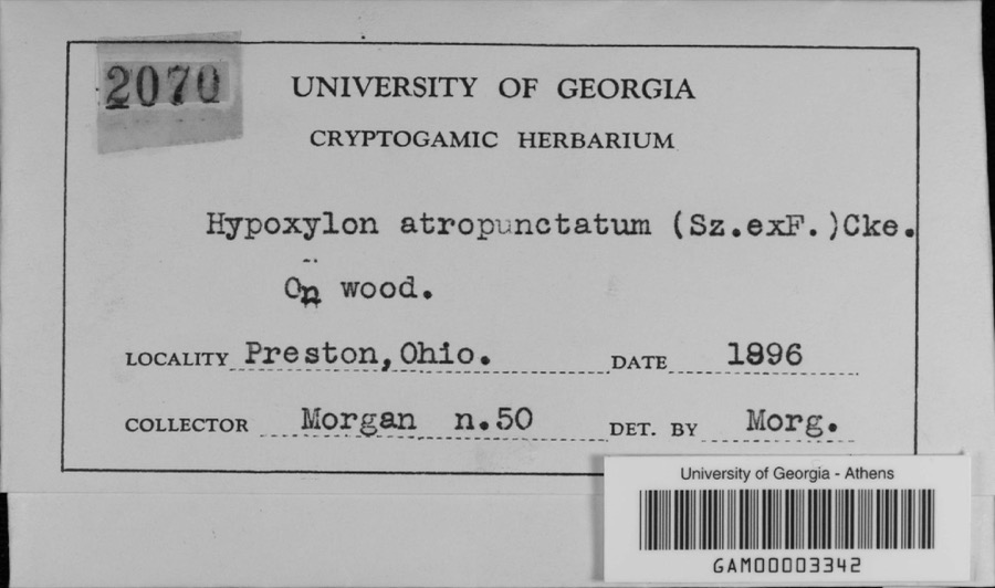
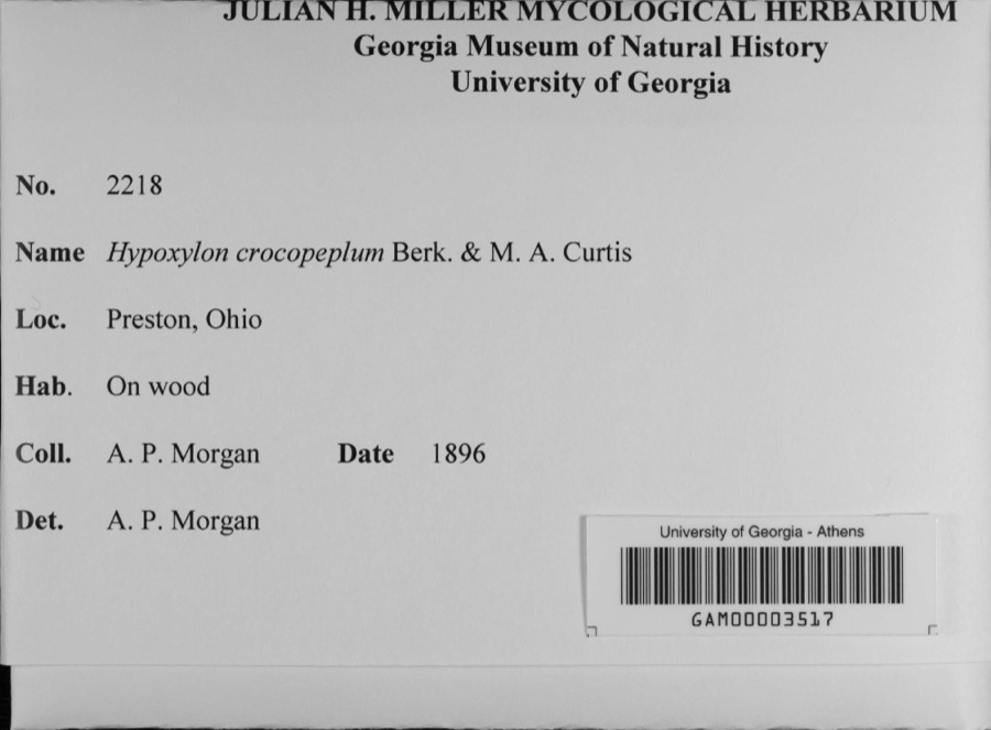
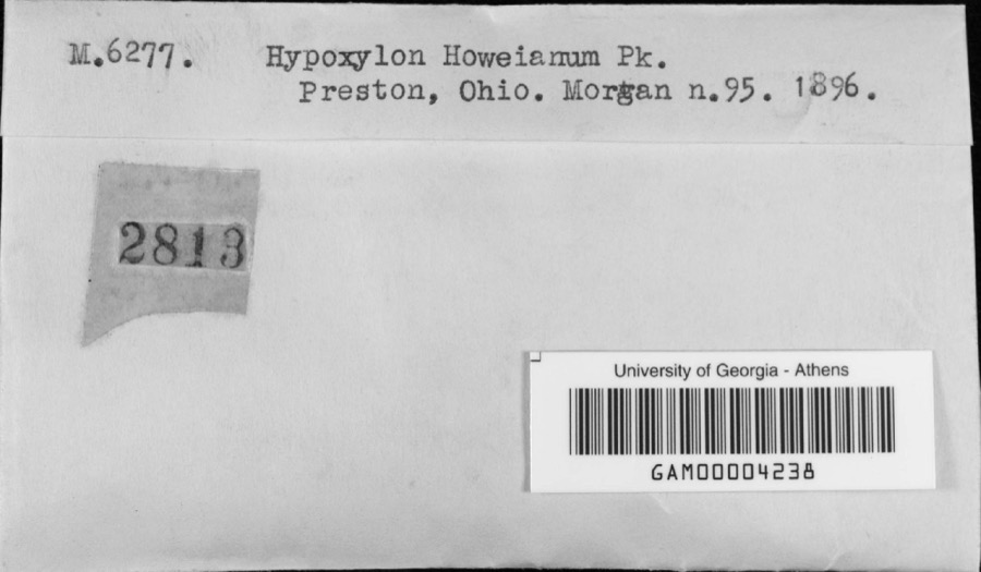
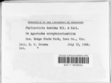
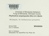
evidence. Museums hold 588 specimens
collected within 10 miles of Center Inn between 1882 and 1975: 532 Animalia, 37 Fungi, 18 Plantae, 1 Chromista.
12 distinct Species records are shown.
Collected by A C Whitney, A S BRADSHAW, A. P. Morgan and others. Each is a
physical object with a catalogue
number, and each entry opens the museum's record. This is what was
collected and kept, not a survey of what lives here - nothing can be
concluded from a species being absent.
Regional context, not property-specific
evidence. The federal mineral resources record lists
2 workings within 5 miles of Center Inn: 1 past producer, 1 producer.
1 still produces. What was taken out: Clay. Distance is straight-line from the
map coordinates, so a quarry counted here may appear on a neighbouring
settlement's page as well.
Regional context, not property-specific
evidence. The National Weather Service names
Sunbury, the town this property stands in, in 30 storm reports between 1996 and 2024: 20 thunderstorm wind, 7 hail, 2 flash flood, 1 tornado.
No death or injury is recorded in these reports. Each account below is quoted exactly as the forecast office
filed it, from the NOAA Storm Events Database, and each date
opens the federal record of that event.
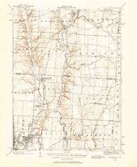
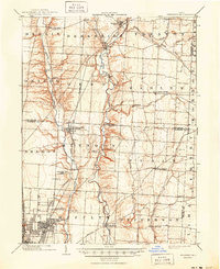
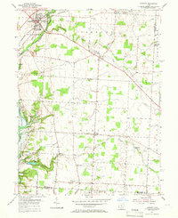
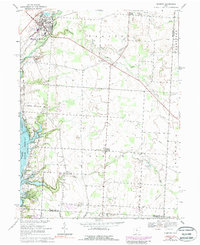
United States Geological Survey topographic
sheets whose coverage includes this point. Matched by taking the coordinate the National Park Service records for this property, then
testing that coordinate against the published boundary of every sheet.
When this property was proposed for the
National Register, someone wrote the case for it: what the building is,
and why it matters. That document is a federal record in the public domain.
It is quoted below word for word, never summarised. The text was read off the scanned case file by machine, so the
occasional stray character is the recogniser's and the 1970s
typewriter's.
Description of the property
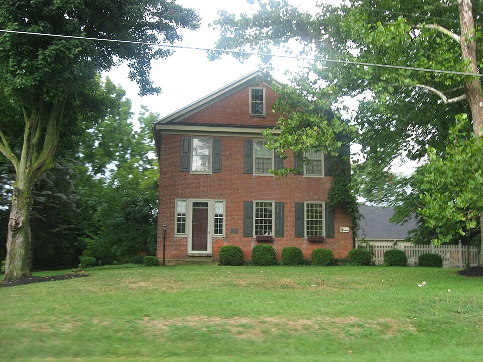
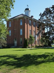
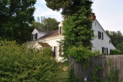
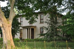
Other entrances with transoms are located on the east and west 2story brick wing, also with gable roof was added shortly after double hung 12/12 sash, many with the old glass panes intact.A the rear end of the house and are not visible from the road. 4 bays and stories in height. The gable roof is covered with The facade, which features flemish bond brick, An entrance with walnut woodwork, built in cabinets and pegged oak random plank X altered Much of the interior remains unchanged. The staircase, black located at the rear of the house and is included in the nomination. Another mid 20th century residence is also located behind the Center composition shingles.
The windows in the original portion of the building are the completion of the original building.It has double hung 6/6 windows.Later 1story frame and stucco additions are located at is the 3 bay and gabled southern elevation. 1829.The building rests ona stone foundation and measures 3 by - prehistoric . landscape architecture _ religion _archeology-historic _ conservation _ science _ economics - sculpture X architecture _ education - military - social/ X 1800-1899 _exploration/settlement. -philosophy .industry - politics/government _ transportation -other (specify) 1600-1699 1500-1599 1829 1700-1799 1400-1499 commerce engineering communications art humanitarian invention The Specific dates music law 1900- agriculture The new owners are undertakerg careful rehabilitation.
literature architraves, graceful staircase and black walnut trim are evidence Areas of Significance-Check and justify below 8.
Statement of significance
(in one paragraph) The Center Inn is significant as the first brick building and inn of fine early craftmanship. Gilbert Van Dorn came to Trenton Township in 1817 and purchased 1,000 store for the area known as"Van's Valley"through the mid-nineteenth very little.The flemish bond brick,12/12 windows with panelled - archeology-prehistoric _ community planning in Trenton Township. It was used as an inn, tavern and grocery This area of the township was referred to as "Van's Valley" in the 1880 History of Delaware County. He opened the first Builder/Architect Period The ownership oftbuilding has changed only 4 times in its history. Gilbert Van Dorn original log building was replaced with this brick structure in 1829. tavern in Trenton Township in 18i8 known as the Center Inn.The 9.
Quoted from the National Register nomination
for reference 83001956, 14 pages, held by the National Archives in Record
Group 79. See the
catalogue record.
Listed places nearby
4 within 8 miles
Other National Register properties close
enough to walk or drive between, ordered by distance from this one. Both
positions come from the same geocoding pass that matched these properties
to their map sheets.
Listing record. National Park Service National Register of Historic Places, listed-properties dataset, current to 2026-05-22.
Map join. Address geocoded through the United States Census geocoder, then tested against the published boundary of every sheet in the USGS Historical Topographic Map Collection.
How this page is made. Listing fields come from federal records; map-sheet coverage is a labelled coordinate-to-boundary calculation, not a source-field claim.
Specimens. Global Biodiversity Information Facility (GBIF), https://www.gbif.org/. Only records licensed CC0 or CC BY are used. Records licensed CC BY-NC are excluded because this site carries advertising. Images are checked individually and any whose licence is non-commercial, no-derivatives or unreadable is refused.
Mines and quarries. USGS Mineral Resources Data System (MRDS) https://mrdata.usgs.gov/mrds/ A work of the United States government, no copyright under 17 U.S.C. 105.
Storms. NOAA National Centers for Environmental Information, Storm Events Database https://www.ncei.noaa.gov/stormevents/ A work of the United States government, no copyright under 17 U.S.C. 105. Narratives are quoted verbatim from the National Weather Service report and are not edited or summarised.
 Block