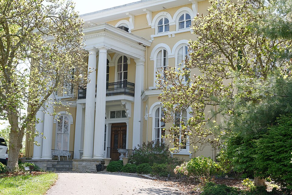
Listed on the National Register of Historic Places in
1983. A historic map-sheet match is not published yet. The record needs a coordinate-quality review before it can be joined to a sheet boundary.
From the record
“Clark is the son of Anson Clark, and was bom in Granville township July n, 1825. He is essentially of New England origin, his father and mother both being born there, the former in Granville, Massachusetts, and the latter in Burlington, Vermont In 1835 his father removed to Hartford township, and there gradually opened up a farm aided by the subject of this sketch, until he reached maturity, meanwhile enjoying the benefits of such schools as then existed in the remote township of this county.”
History of Licking County, Ohio: Its Past and Present (1881). Machine-read text.
one of 52 National Register listings in Licking County · listed in 1983 · category: Building.
National Register reference number.83001991- the number the National Park Service assigned this property when it was listed, and the key its nomination file is catalogued under at the National Archives.
Abbott, Judge Elizur, a prominent pioneer of Granville, died October 4, 1878, at the ripe age of seventy eight years. During most of his life he took an active part in political, social and religious matters, and was a highly esteemed citizen. He served as associate judge from 1850 to 1852.
Ashley, John, farmer, post office, Granville, Licking county, Ohio. Mr. Ashley was born in the county of Montgomeryshire, parish of Beat House, in North Wales, on the fourteenth day of June, 1814. His education was that obtained in the common schools of his native country. He was reared a farmer and has made farming his voca- :ion through life. In 1840 he migrated to Am-
Regional context, not property-specific
evidence. The
federal wildfire occurrence database
lists 1 fire within 5 miles of Bryn Mawr between
2020 and 2020, burning about 0 acres in total. None started naturally. None was recorded as arson.
Distance is straight-line from the map coordinates, so a fire counted
here may appear on a neighbouring settlement's page as well.
Reported cause
Fires
Smoking
1
The most recent of
them, most recent first, with the day each was reported and the service
that recorded it.
Regional context, not property-specific
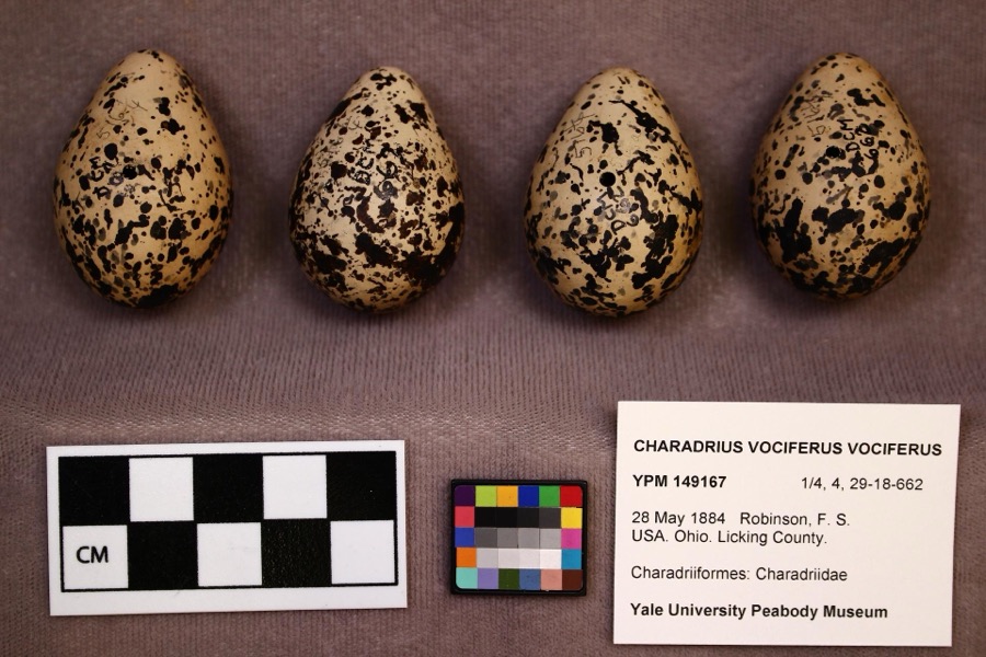
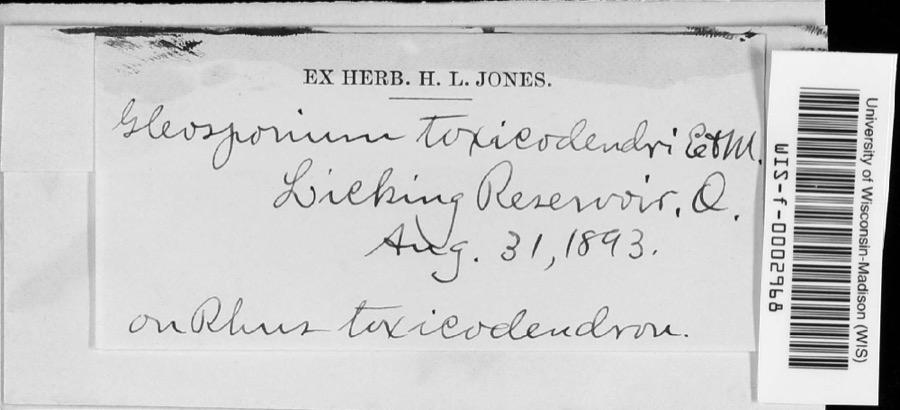
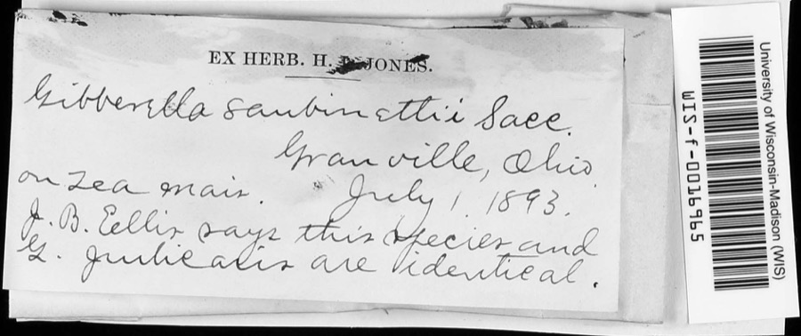
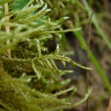
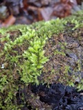
evidence. Museums hold 3,025 specimens
collected within 10 miles of Bryn Mawr between 1843 and
1975: 2,682 Animalia, 260 Fungi, 54 Plantae, 26 Protozoa, 3 Chromista. 12 distinct Species records are shown.
Collected by A. Gray; W. S. Sullivant, A. P. M., A. P. Morgan and others. Each is a
physical object with a catalogue
number, and each entry opens the museum's record. This is what was
collected and kept, not a survey of what lives here - nothing can be
concluded from a species being absent.
Regional context, not property-specific
evidence. The National Weather Service names
Granville, the town this property stands in, in 32 storm reports between 1995 and 2026: 26 thunderstorm wind, 3 hail, 2 flash flood, 1 heavy rain.
No death or injury is recorded in these reports. Each account below is quoted exactly as the forecast office
filed it, from the NOAA Storm Events Database, and each date
opens the federal record of that event.
Heavy rainfall caused flash flooding in the area. There were numerous reports of water flowing over roads in Union Township, Hebron, and the Buckeye Lake area. One woman was trapped in a car due to high water.
No historic map-sheet match is published
for this property yet. That does not mean no map exists. This record needs
a coordinate-quality review before it can be joined to a sheet boundary.
Browse the county's mapped places while that work is
pending.
From the nomination file
2,672 words on record
When this property was proposed for the
National Register, someone wrote the case for it: what the building is,
and why it matters. That document is a federal record in the public domain.
It is quoted below word for word, never summarised. The text was read off the scanned case file by machine, so the
occasional stray character is the recogniser's and the 1970s
typewriter's.
Statement of significance
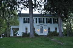
(in one paragraph) in central Ohio. it again changed use and served as a nursing home for the aged population of the - - communications The building is a significant example of the "Italian Villa"style from - commerce ident of the Central Ohio Railroad part of the Baltimore and Ohio system). By 193l the house had gone through a succession of owners and became the - art - archeology-prehistoric . community planning - archeology-historic X architecture . exploration/settlement - philosophy . industry the mid-nineteenth century. Its formal symmetry, round-arched windows, jecting first-floor bays, bracketed cornice, and 1ow-pitched hipped roof ro- 1920s, is significant-in its own right. area.
Its builder was Elias Fassett (1797-1863) who, in 1856, became the pres- 1600-1699 1400-1499 1851-1854 Specific dates property of an order of Franciscan Sisters who hoped to establish a school for restaurant.It is identified by the general public as a major historic landmark Granville area. Granville Township is an area with many fine examples of combine to make ita prime specimen.The later alterations--including the Acreage of nominated property - Quadrangle name _ Granville, Ohio Quadrangle scale 1:24,000 corner ofepraperty, boundary extends 250 feet west to rear of property, then 200 feet south - State 11.
Quoted from the National Register nomination
for reference 83001991, 23 pages, held by the National Archives in Record
Group 79. See the
catalogue record.
Listed places nearby
6 within 8 miles
Other National Register properties close
enough to walk or drive between, ordered by distance from this one. Both
positions come from the same geocoding pass that matched these properties
to their map sheets.
Listing record. National Park Service National Register of Historic Places, listed-properties dataset, current to 2026-05-22.
Map join. Address geocoded through the United States Census geocoder, then tested against the published boundary of every sheet in the USGS Historical Topographic Map Collection.
How this page is made. Listing fields come from federal records; map-sheet coverage is a labelled coordinate-to-boundary calculation, not a source-field claim.
Wildfire. Short, Karen C. 2022. Spatial wildfire occurrence data for the United States, 1992-2020 [FPA_FOD_20221014]. 6th Edition. Fort Collins, CO: Forest Service Research Data Archive. https://doi.org/10.2737/RDS-2013-0009.6 Collected with United States Government funding and usable without additional permissions or fees.
Specimens. Global Biodiversity Information Facility (GBIF), https://www.gbif.org/. Only records licensed CC0 or CC BY are used. Records licensed CC BY-NC are excluded because this site carries advertising. Images are checked individually and any whose licence is non-commercial, no-derivatives or unreadable is refused.
Storms. NOAA National Centers for Environmental Information, Storm Events Database https://www.ncei.noaa.gov/stormevents/ A work of the United States government, no copyright under 17 U.S.C. 105. Narratives are quoted verbatim from the National Weather Service report and are not edited or summarised.
 Block
Block