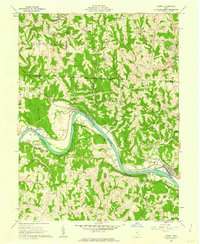
Listed on the National Register of Historic Places in
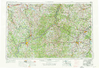
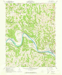
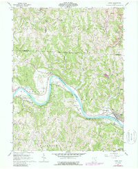
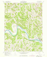
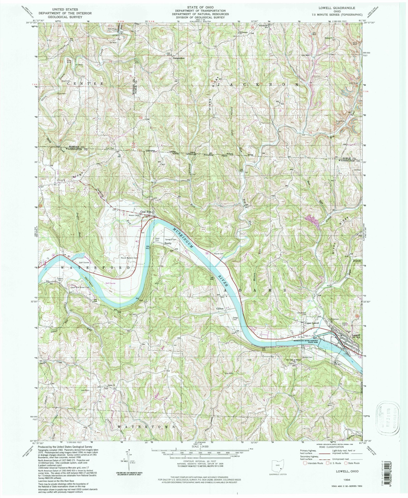
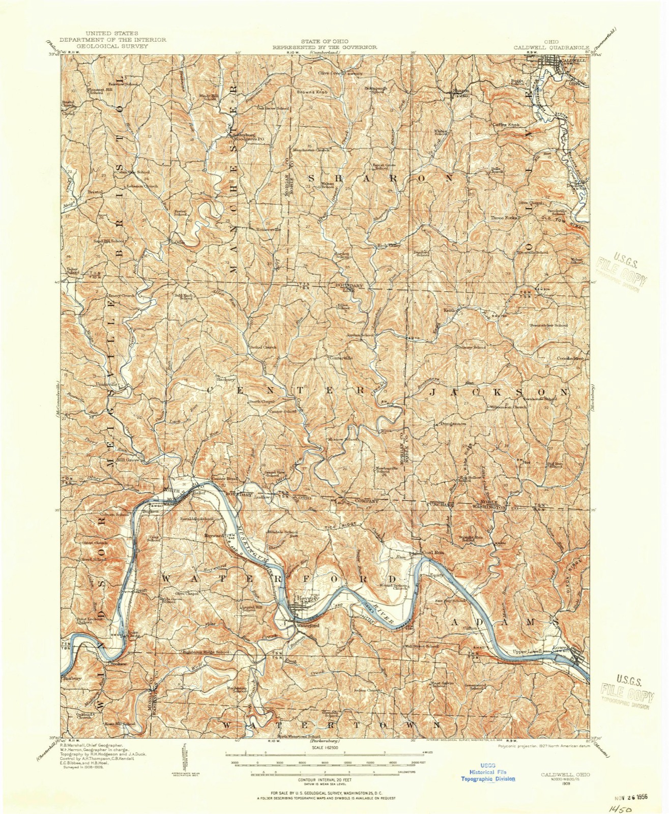
1983. 14 historic map sheets show this location, the earliest from 1909.
From the record
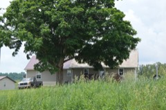
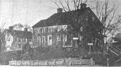
“The Jonathan Sprague House is a historic residence in northwestern Washington County, Ohio, United States. Located atop a bluff above the Muskingum River, it is one of Washington County's most significant houses, due to its age and method of construction.”
Wikipedia article Jonathan Sprague House, CC BY-SA 4.0.
one of 39 National Register listings in Washington County · listed in 1983 · category: BUILDING · significant for EXPLORATION/SETTLEMENT; ARCHITECTURE · one of 1 National Historic Landmarks in Washington County.
Area of significance. EXPLORATION/SETTLEMENT; ARCHITECTURE
Acreage. 3
Township. Adams township
Architectural style. Federal architecture
National Register reference number.83002067- the number the National Park Service assigned this property when it was listed, and the key its nomination file is catalogued under at the National Archives.
Then and now
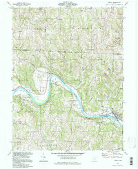
1909 to 1994
The ground this property stands on, surveyed
85 years apart. Drag the handle to wipe between them. Both sheets are
United States Geological Survey originals; neither has been altered.
19091994
The ground it stands on
7,567 words
The chapter on Adams Township in History of Washington County, Ohio, published 1881 names Lowell. This is what it says, exactly as the scans read.
The settlement of Adams was cotemporary with the settlement of the block-house colony on the south branch of Wolf creek, but fortunately suffered no such disaster as the murder of Sherman Waterman, although that event caused great anxiety in the frail garrison located nearly opposite the site of the present town of Buell's Lowell. The inhatitants of this garrison were four families and four single men, all of whom owned land in the vicinity and employed the time during the first summer at clearing and building cabins. The garrisoned cabins which stood near each other on the river bank belonged to, and were occupied by, Nicholas Coburn, with whom Asa, his brother, then a single man, boarded; Robert Allison, with whom Oliver Dodge boarded; Nathan Kinny and family, admitted to their cabin Joseph Simons, and William Davis, whose cabin was the home, during the first summer, of Daniel Davis.
William and Daniel Davis, sons of Captain Daniel Davis, one of the forty-eight first emigrants, owned lots in Bear Run allotment. After Wayne's treaty they left the garrison on the Kinny farm, and moved to their own land, a part of which was cleared and planted the first summer. Williard, one of the sons of William Davis, was born March 5, 1806. He married, in 1827, Caroline Shepard, who was born in New York, November 27, 1811. Their family consisted of five children, viz: Elizabeth, Walter, Susan, Willard H., and Mary C., three of whom. are living, Elizabeth, Walter, and Willard. Walter was born August 8, 1832. He married, May 17, 1863, Elizabeth Trapp, daughter of Philip Trapp. They have had five children, four of whom are living: Willard F., Katie, Rosa, and Walter. Mr. Davis has been in mercantile business in Lowell for about seventeen years.
Regional context, not property-specific
evidence. The
federal wildfire occurrence database
lists 10 fires within 5 miles of Sprague, Jonathan, House between
2010 and 2020, burning about 8 acres in total. None started naturally. None was recorded as arson.
Distance is straight-line from the map coordinates, so a fire counted
here may appear on a neighbouring settlement's page as well.
Reported cause
Fires
Debris and open burning
5
Missing data/not specified/undetermined
3
Equipment and vehicle use
1
Smoking
1
The most recent of
them, most recent first, with the day each was reported and the service
that recorded it.
Regional context, not property-specific
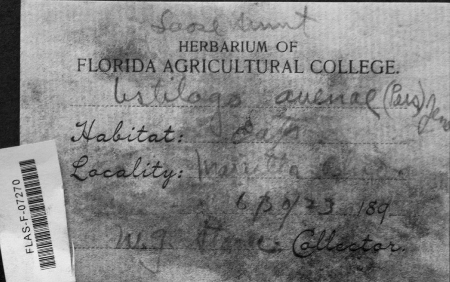
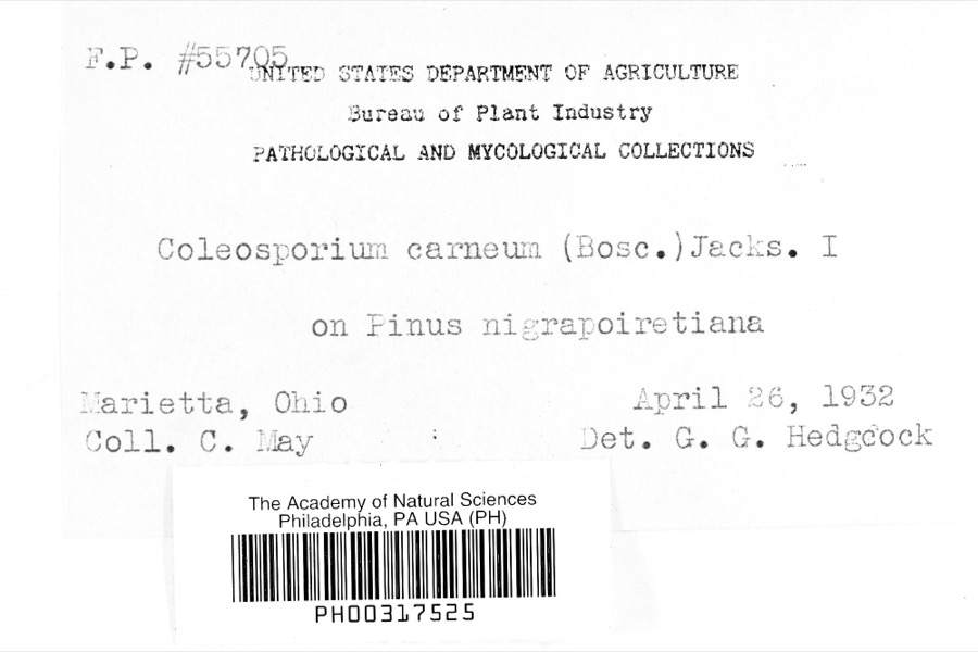
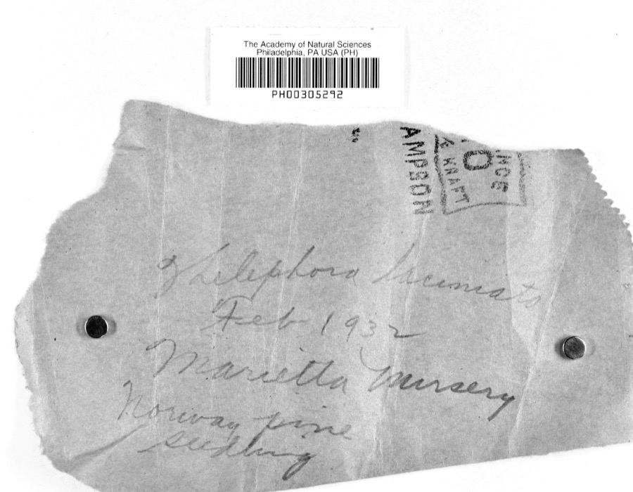
evidence. Museums hold 1,329 specimens
collected within 10 miles of Sprague, Jonathan, House between 1853 and
1974: 1,238 Animalia, 45 Plantae, 44 Fungi, 1 Unrecorded, 1 Chromista. 12 distinct Species records are shown.
Collected by A. D. Selby, A. Drew, A. L. McElhose and others. Each is a
physical object with a catalogue
number, and each entry opens the museum's record. This is what was
collected and kept, not a survey of what lives here - nothing can be
concluded from a species being absent.
Regional context, not property-specific
evidence. The federal mineral resources record lists
4 workings within 5 miles of Sprague, Jonathan, House: 2 past producers, 2 producers.
2 still produce. What was taken out: Sand and Gravel, Construction, Stone, Crushed/Broken. Distance is straight-line from the
map coordinates, so a quarry counted here may appear on a neighbouring
settlement's page as well.
Regional context, not property-specific
evidence. The National Weather Service names
Lowell, the town this property stands in, in 15 storm reports between 1997 and 2025: 7 hail, 6 thunderstorm wind, 2 flash flood.
No death or injury is recorded in these reports. Each account below is quoted exactly as the forecast office
filed it, from the NOAA Storm Events Database, and each date
opens the federal record of that event.
United States Geological Survey topographic
sheets whose coverage includes this point. Matched by geocoding the centre of Lowell, because the National Register records a descriptive location rather than a street address, then
testing that coordinate against the published boundary of every sheet.
When this property was proposed for the
National Register, someone wrote the case for it: what the building is,
and why it matters. That document is a federal record in the public domain.
It is quoted below word for word, never summarised. The text was read off the scanned case file by machine, so the
occasional stray character is the recogniser's and the 1970s
typewriter's.
Description of the property
is a four light transom. Flanking the doorway are two 12/12 light windows. has a wood plank which covers the upper portion. It has 4/8 lights. Both walnut beams that originally extended through the sandstone to form the floor on each side, with flat arches with a central keystone. These windows have 12/12 the rafters are boxed. The roof is covered with metal sheeting and there are white ash. The lowest story houses the original kitchen, which contains a large plain frieze and simple mantel shelf. Square walnut panels fill the window and mantelpieces remain on either end. In the western end the mantelpiece has There is a straight enclosed stairwell, enclosed by walnut paneling, that leads There isa window in the northern end and the other window isbricked in and Form No.
10-300a UNITED STATES DEPARTMENT OF THE INTERIOR NATIONAL PARK SERVICE NATIONAL REGISTER OF HISTORIC PLACES INVENTOR Y -- NOMINATION FORM Sprague, Jonathan, House and Barn, Lowell Vicinity, Washington County, Ohio CONTINUATION SHEET 1 consists of two cross beams of oak, each one supporting two inclined purlin RECEIVED posts.Each of the purlin posts has braces projecting outward.The main DATE ENTERED There is a barn, contemporary with the house, that is composed of three bays, was replaced, and is covered with corrugated metal sheeting. FOR NPS USE ONLY ITEM NUMBER 7 replaced in 1923 with pine. It is possible that the early siding was of poplar, which is the most prevalent tree in the woods. In 1923 the roof located approximately 300 feet from the house.
The supporting structure beams measure 30 x 45 feet and are joined by hickory pegs. The siding was PAGE AREAS OF
Statement of significance
was a carpenter, farmer, settler, and millwright. At the age of 21 he came to of Campus Martius. In April 1789 he and his family helped settle and build the Waterford Garrison, where they lived until after the peace treaty with the settle the Ohio lands, they were eligible for property in the Donation Lands built the famed Island Mill, a wing of which was built out into the Muskingum The nearby City of Marietta is generally considered as the first permanent settle- ment in Ohio and the Northwest, with the initial settlers arriving in 1788. sentation of this early architecture executed in stone, which still retains a large construction, is a similar manifestation of this early architectural heritage.
LAW ART ARCHEOLOGY-HISTORIC AGRICULTURE CONSERVATION EDUCATION RELIGION PERIOD ARCHEOLOGY-PREHISTORIC POLITICS/GOVERNMENT SCIENCE THEATER SIGNIFICANCE TRANSPORTATION INVENTION LITERATURE XARCHITECTURE INDUSTRY 1400-1499 X1800-1899 _PREHISTORIC XEXPLORATION/SETTLEMENT _COMMUNICATIONS MILITARY _PHILOSOPHY _ENGINEERING with a number of early 19th century properties reflecting the Eastcoast styles and The Jonathan Sprague House represents the earliest stone house, and one of the Indians was signed.Having fought in the Revolutionary War, and having helped -1500-1599 -1600-1699 _SCULPTURE _COMMERCE River to secure water power.The method of payment was toll. - 1700-1799 _ECONOMICS _1900- - MUSIC earliest barns to be found in Washington County.
The builder, Jonathan Sprague, Coal Run, cleared the land, and in 1800 completed the stone house. In 1803 he features familiar to the first settlers. The Sprague House is an excellent repre- Washington County is therefore important to the architectural history of the state within the Ohio Company Tract.After1791 he located in Adams Township opposite
Quoted from the National Register nomination
for reference 83002067, 13 pages, held by the National Archives in Record
Group 79. See the
catalogue record.
Listed places nearby
5 within 8 miles
Other National Register properties close
enough to walk or drive between, ordered by distance from this one. Both
positions come from the same geocoding pass that matched these properties
to their map sheets.
Listing record. National Park Service National Register of Historic Places, listed-properties dataset, current to 2026-05-22.
Map join. Address geocoded through the United States Census geocoder, then tested against the published boundary of every sheet in the USGS Historical Topographic Map Collection.
How this page is made. Listing fields come from federal records; map-sheet coverage is a labelled coordinate-to-boundary calculation, not a source-field claim.
Wildfire. Short, Karen C. 2022. Spatial wildfire occurrence data for the United States, 1992-2020 [FPA_FOD_20221014]. 6th Edition. Fort Collins, CO: Forest Service Research Data Archive. https://doi.org/10.2737/RDS-2013-0009.6 Collected with United States Government funding and usable without additional permissions or fees.
Specimens. Global Biodiversity Information Facility (GBIF), https://www.gbif.org/. Only records licensed CC0 or CC BY are used. Records licensed CC BY-NC are excluded because this site carries advertising. Images are checked individually and any whose licence is non-commercial, no-derivatives or unreadable is refused.
Mines and quarries. USGS Mineral Resources Data System (MRDS) https://mrdata.usgs.gov/mrds/ A work of the United States government, no copyright under 17 U.S.C. 105.
Storms. NOAA National Centers for Environmental Information, Storm Events Database https://www.ncei.noaa.gov/stormevents/ A work of the United States government, no copyright under 17 U.S.C. 105. Narratives are quoted verbatim from the National Weather Service report and are not edited or summarised.
 Block
Block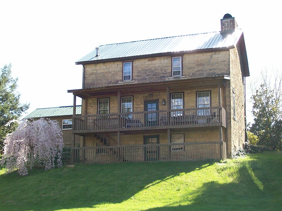




.jpg)