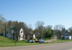
Listed on the National Register of Historic Places in
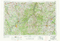
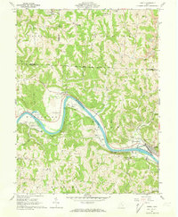
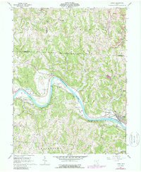
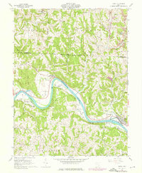
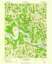
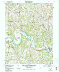
1979. 14 historic map sheets show this location, the earliest from 1909.
From the record
“The Mason House is a historic residence in the unincorporated community of Coal Run in Washington County, Ohio, United States. A saltbox built in 1802, it is among the most well-preserved buildings in Washington County constructed before Ohio's statehood in 1803.”
Wikipedia article Mason House (Coal Run, Ohio), CC BY-SA 4.0.
one of 39 National Register listings in Washington County · listed in 1979 · category: BUILDING · significant for ARCHITECTURE · one of 1 National Historic Landmarks in Washington County.
National Register reference number.79001978- the number the National Park Service assigned this property when it was listed, and the key its nomination file is catalogued under at the National Archives.
Then and now
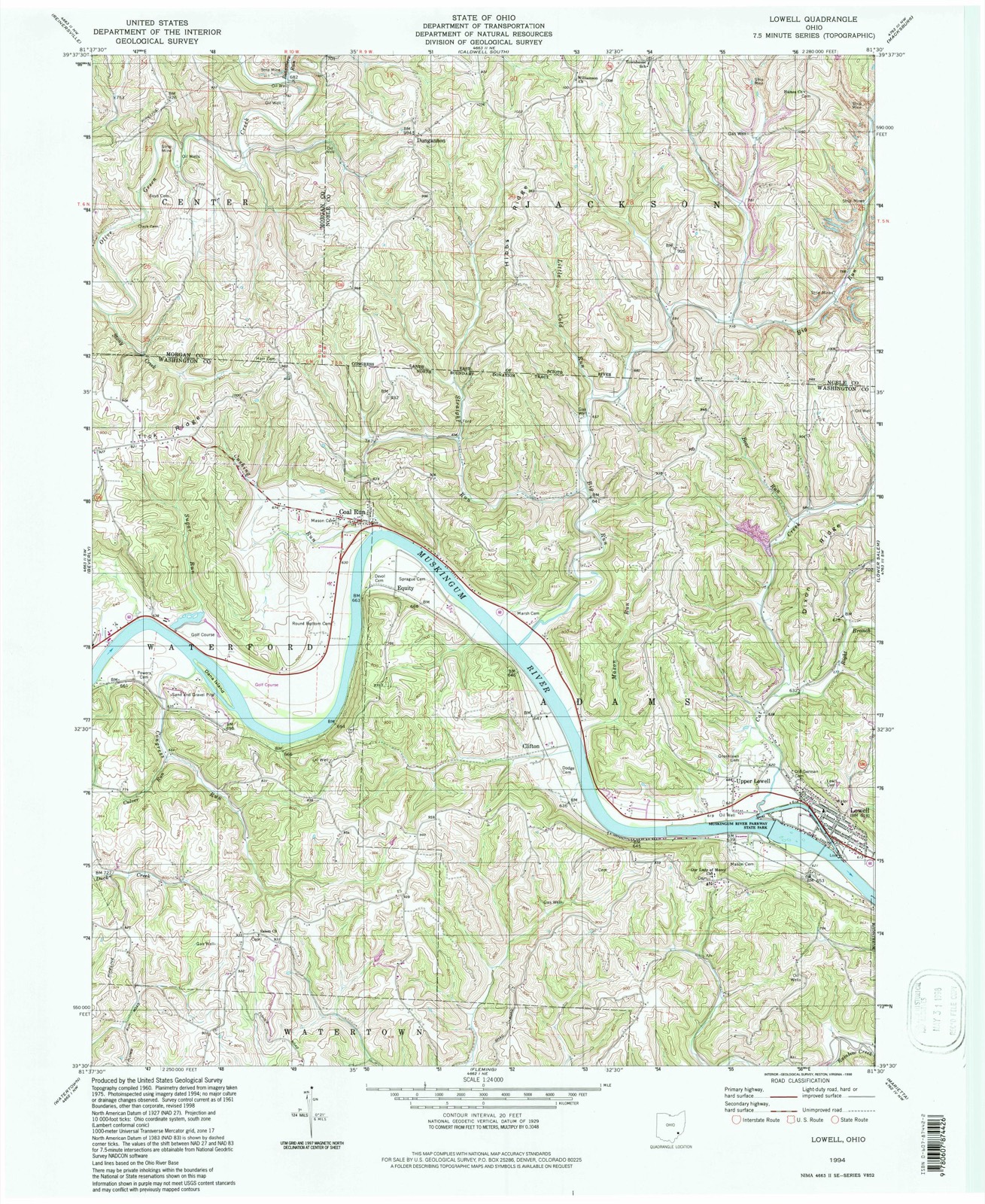
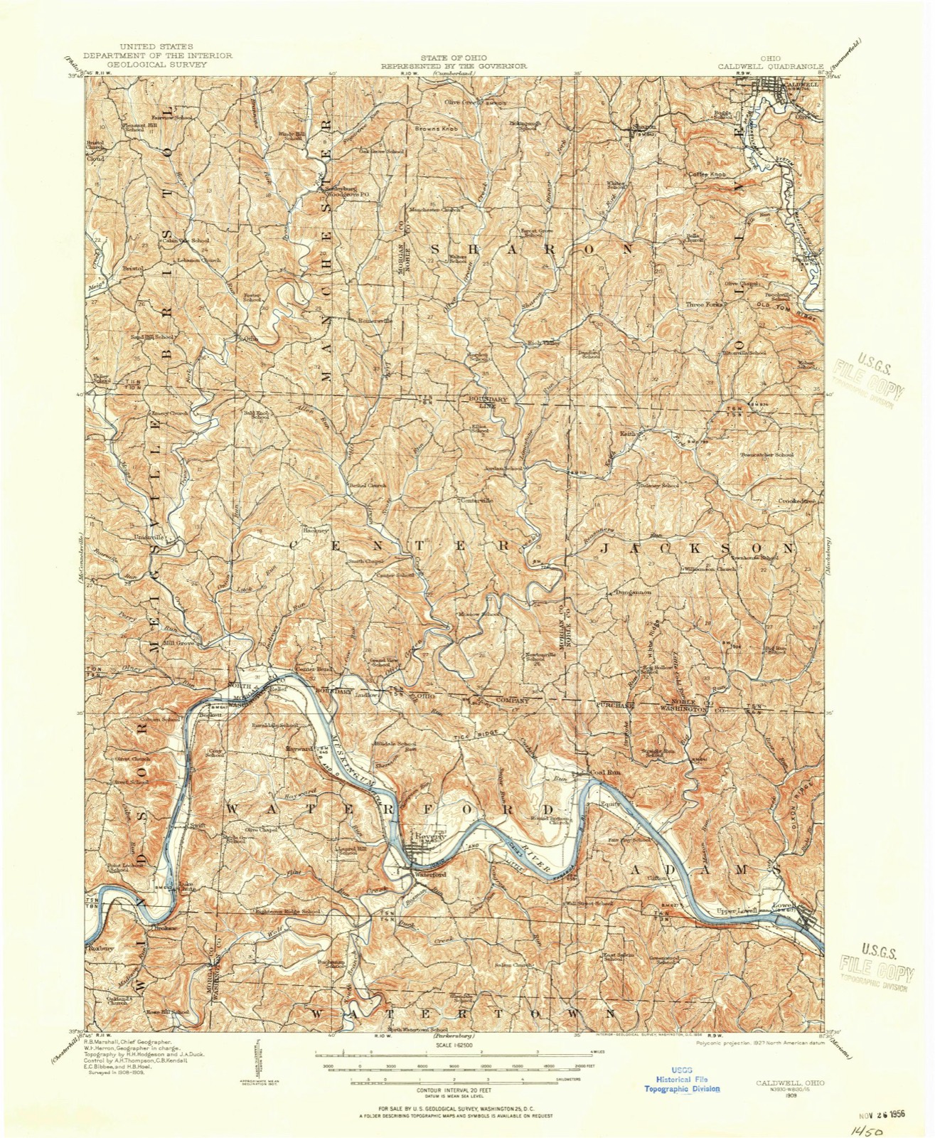
1909 to 1994
The ground this property stands on, surveyed
85 years apart. Drag the handle to wipe between them. Both sheets are
United States Geological Survey originals; neither has been altered.
19091994
The ground it stands on
41,950 words
The chapter on Waterford Township in History of Washington County, Ohio, published 1881 names Coal Run. This is what it says, exactly as the scans read.
At the lower end of Round Bottom is situated the thriving little village of Coal Run. It sprang into existence upon the completion of the Muskingum improvements, and until the building of the Duck Creek railroad was one of the best shipping points on the river. The produce of the eastern part of Morgan and southern part of Noble was marketed here. This trade made a village which coal mines continue to support.
The geology of the region around Coal Run may be worthy of attention. The upper rock stratum is heavy white sand, selected portions of which would be fine enough for glass making. Other portions might be profitably used for hearthstones for furnaces. There isa seam of coal lying under this sandrock, but it is too thin for profitable mining. There is also a stratum of limestone which is of proper quality for making excellent cement.
Regional context, not property-specific
evidence. The
federal wildfire occurrence database
lists 22 fires within 5 miles of Mason House between
2008 and 2020, burning about 78 acres in total. None started naturally. None was recorded as arson.
Distance is straight-line from the map coordinates, so a fire counted
here may appear on a neighbouring settlement's page as well.
Reported cause
Fires
Debris and open burning
11
Missing data/not specified/undetermined
8
Power generation/transmission/distribution
2
Equipment and vehicle use
1
The most recent of
them, most recent first, with the day each was reported and the service
that recorded it.
Regional context, not property-specific
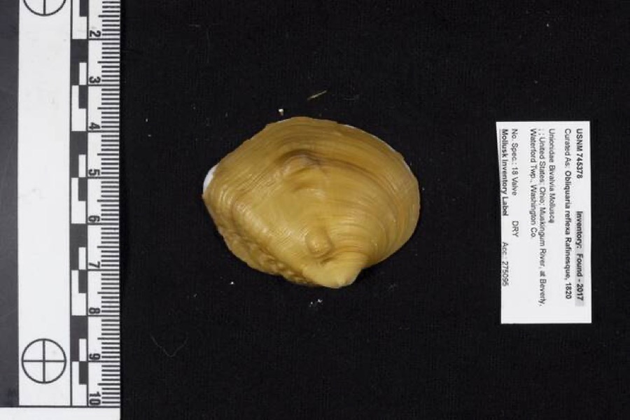
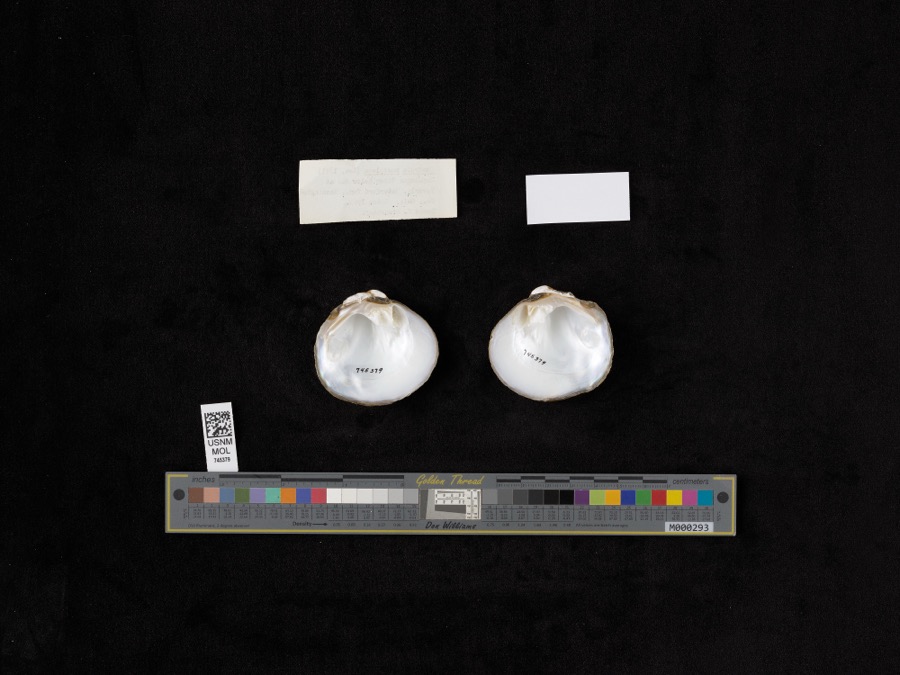
evidence. Museums hold 707 specimens
collected within 10 miles of Mason House between 1884 and
1974: 627 Animalia, 74 Plantae, 6 Fungi. 12 distinct Species records are shown.
Collected by A. D. Selby, Adams, N.; Adams, S., Albaugh, D. W. (Douglas W.) and others. Each is a
physical object with a catalogue
number, and each entry opens the museum's record. This is what was
collected and kept, not a survey of what lives here - nothing can be
concluded from a species being absent.
Regional context, not property-specific
evidence. The federal mineral resources record lists
2 workings within 5 miles of Mason House: 1 past producer, 1 producer.
1 still produces. What was taken out: Thorium, REE, Iron, Chromium, Stone, Crushed/Broken. Distance is straight-line from the
map coordinates, so a quarry counted here may appear on a neighbouring
settlement's page as well.
United States Geological Survey topographic
sheets whose coverage includes this point. Matched by geocoding the property's own street address, then
testing that coordinate against the published boundary of every sheet.
When this property was proposed for the
National Register, someone wrote the case for it: what the building is,
and why it matters. That document is a federal record in the public domain.
It is quoted below word for word, never summarised. The text was read off the scanned case file by machine, so the
occasional stray character is the recogniser's and the 1970s
typewriter's.
Description of the property
basement under the story and a half section laid with cut sandstone units. The the sandstone walls are not milled but whole logs, some still having bark attached. ago judging from the materials used in its construction. At the rear of the house there are exterior stone steps that lead to the cellar. The The front elevation is one story and a half high with three, two over two, asymme- side of the steps are two basement windows penetrate the foundation wall to provide because of its design. The front elevation, like all the sides, are void of any smooth, white painted fascia board that meets a similar surface of the soffits which one has a large fireplace once used for cooking. The interior is also very much unchanged.
All original woodwork is intact, including four rooms downstairs and two rooms and a hall upstairs. CONDITION UNEXPOSED EXCELLENT DETERIORATED FAIR The house is rectangular in plan with no protruding porches.From examining the trically-placed double-hung windows on the first story.The front door is centered heating have been added necessitating radical change in room plans.There are retained. an enclosed steep winding staircase and two built-in storage units with paneled CHECK ONE XGOOD on the facade and has three stone slabs as steps.Symmetrically placed on either rear section has a dirt crawl space below two rooms.The floor joists that rest on siding and structure, it is believed there was an inset porch originally in the rer which is now enclosed and used as a kitchen.
This modification was made many years light and ventilation for the basement. It is doubtful that the front door is original slate, an obvious alteration from the shake shingle roof.
This house is nominated as an unusually intact, unaltered representative example of the very early settlement architecture of Ohio. It was constructed one year previous to Ohio's admission to the Union, appearing on the Washington County type known as a saltbox house, a type of structure which is generally associated Ohio had come west from the northeast and predictably, brought with them their it is not especially uncommon to see a house which outwardly appears to be a saltbox; closer inspection, however, usually reveals an upright symmetrically-gabled structure the house.
Its unadorned window framing, simple clapboard-on-frame walls and plain soffets combined with its uncompromised woodwork, box stairs and built-ins make probably its builders - were Daniel Davis and Joseph Thompson, the former of whom LAW EDUCATION ART SIGNIFICANCE CONSERVATION BUILDER/ARCHITECT ARCHEOLOGY-HISTORIC RELIGION PERIOD X1800-1899 AGRICULTURE INVENTION POLITICS/GOVERNMENT EXPLORATION/SETTLEMENT SCULPTURE THEATER PREHISTORIC LITERATURE MILITARY INDUSTRY 1900- ARCHEOLOGY-PREHISTORIC _TRANSPORTATION XARCHITECTURE _COMMUNICATIONS OTHER (SPECIFY) SOCIAL/HUMANITARIAN -1600-1699 - PHILOSOPHY _COMMERCE -1700-1799 -1500-1599 tax duplicate for the first time in l802.It is characteristic of the folk house -1400-1499 -SCIENCE with New England folk architecture.
Many of the first settlers' of southeastern with a characteristically British shed roof addition to the rear. Such is not the case here, where the foundation and joists indicate that the structure was this a unique architectural survival. The first owners of the property - and served in the Fort Frye garrison at nearby Waterford during the Indian wars. built as a single unit.Herein 1ies the significant architectural character of
Quoted from the National Register nomination
for reference 79001978, 13 pages, held by the National Archives in Record
Group 79. See the
catalogue record.
Listed places nearby
6 within 8 miles
Other National Register properties close
enough to walk or drive between, ordered by distance from this one. Both
positions come from the same geocoding pass that matched these properties
to their map sheets.
Listing record. National Park Service National Register of Historic Places, listed-properties dataset, current to 2026-05-22.
Map join. Address geocoded through the United States Census geocoder, then tested against the published boundary of every sheet in the USGS Historical Topographic Map Collection.
How this page is made. Listing fields come from federal records; map-sheet coverage is a labelled coordinate-to-boundary calculation, not a source-field claim.
Wildfire. Short, Karen C. 2022. Spatial wildfire occurrence data for the United States, 1992-2020 [FPA_FOD_20221014]. 6th Edition. Fort Collins, CO: Forest Service Research Data Archive. https://doi.org/10.2737/RDS-2013-0009.6 Collected with United States Government funding and usable without additional permissions or fees.
Specimens. Global Biodiversity Information Facility (GBIF), https://www.gbif.org/. Only records licensed CC0 or CC BY are used. Records licensed CC BY-NC are excluded because this site carries advertising. Images are checked individually and any whose licence is non-commercial, no-derivatives or unreadable is refused.
Mines and quarries. USGS Mineral Resources Data System (MRDS) https://mrdata.usgs.gov/mrds/ A work of the United States government, no copyright under 17 U.S.C. 105.
 Block
Block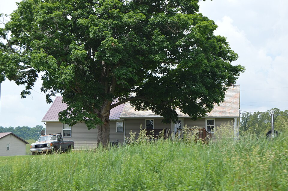


.jpg)