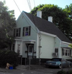
Listed on the National Register of Historic Places in
1984. A historic map-sheet match is not published yet. The record needs a coordinate-quality review before it can be joined to a sheet boundary.
From the record
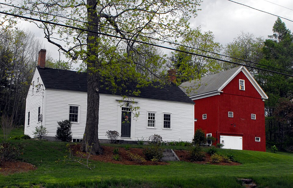
“The Emerson House is a historic house located at 58 Ayers Village Road in Methuen, Massachusetts. It is set in a rural corner of northeastern Methuen, near the town line with Haverhill.”
Wikipedia article Emerson House (Methuen, Massachusetts), CC BY-SA 4.0.
one of 350 National Register listings in Essex County · listed in 1984 · category: Building · one of 2 National Historic Landmarks in Essex County.
National Register reference number.84002351- the number the National Park Service assigned this property when it was listed, and the key its nomination file is catalogued under at the National Archives.
There is no evidence showing that any particular tribe had a home in Methuen, or what is now North Lawrence, but it is certain that Bodwell's Falls (then situated a short distance above the present Lawrence dam), and the shores of the Spicket River were favorite resorts, especially in the fishing season. On the Andover side, a company of Pentuckets had a settlement near Cochichewick Brook. Some writers have located the ancient seat of the Agawams at Bodwell's Falls, and to this place came to reside the daughter of Passaconnaway, who was wedded to Winnepurket. a sachem of Saugus and who has been characterized by one writer as the "dog of the marshes". It turned out to be an unhappy union and war might have resulted, had not the "pale faces" appeared upon the stage at this time and diverted attention from tribal troubles.
Indian sachems received, in 1642, for their rights in Haverhill lands, including the site of the town of Methuen, three pounds and ten shillings. For six pounds, and a coat, the Andover territory was secured. As Lawrence is but a speck in those great townships, the little over seven square miles comprising it, according to the valuation placed on it by the Indian owners, would not have exceeded five shillings. It is not probable that many whites had permanent residence within Lawrence limits prior to the year 1700, though Shawsheen Fields (South Lawrence) were cultivated by residents of Andover A'illage, protected by block houses, and Methuen Intervales (North Lawrence) were mown by commoners, from the direction of Haverhill, for years before that date.
Regional context, not property-specific
evidence. The
federal wildfire occurrence database
lists 78 fires within 5 miles of Emerson House between
2002 and 2020, burning about 22 acres in total. 1 started naturally. 5 were recorded as arson.
Distance is straight-line from the map coordinates, so a fire counted
here may appear on a neighbouring settlement's page as well.
Reported cause
Fires
Missing data/not specified/undetermined
19
Smoking
18
Misuse of fire by a minor
8
Recreation and ceremony
7
Debris and open burning
6
Equipment and vehicle use
6
Arson/incendiarism
5
Railroad operations and maintenance
4
Power generation/transmission/distribution
4
Natural
1
The most recent of
them, most recent first, with the day each was reported and the service
that recorded it.
Regional context, not property-specific
evidence. Museums hold 1,184 specimens
collected within 10 miles of Emerson House between 1816 and
1975: 694 Plantae, 354 Animalia, 118 Fungi, 5 Protozoa, 5 Bacteria, 4 Unrecorded, 4 Chromista. 12 distinct Species records are shown.
Collected by A Brown, A S Gaunt, A. C. Mathieson and others. Each is a
physical object with a catalogue
number, and each entry opens the museum's record. This is what was
collected and kept, not a survey of what lives here - nothing can be
concluded from a species being absent.
Regional context, not property-specific
evidence. The federal mineral resources record lists
9 workings within 5 miles of Emerson House: 5 past producers, 2 producers, 1 unknown, 1 plant.
3 still produce. What was taken out: Sand and Gravel, Construction, Stone, Crushed/Broken, Nickel, Gold, Silver, Copper, Perlite. Distance is straight-line from the
map coordinates, so a quarry counted here may appear on a neighbouring
settlement's page as well.
Regional context, not property-specific
evidence. The National Weather Service names
Methuen, the town this property stands in, in 27 storm reports between 1998 and 2024: 15 thunderstorm wind, 5 flash flood, 3 lightning, 3 hail.
No death or injury is recorded in these reports. Each account below is quoted exactly as the forecast office
filed it, from the NOAA Storm Events Database, and each date
opens the federal record of that event.
Two to three inches of rain fell in only a couple of hours and produced significant urban flash flooding. In Methuen, Riverside Drive by the boat ramp was closed due to flooding and several cars were stranded. Route 213 at I-495 was flooded and cars were stuck in the roadway. In Haverhill, the area near Laurel and Railroad Avenues was flooded with four feet of water and a car was stranded in flood waters. The intersection of Primrose and Dexter Avenues was impassable. In Peabody, several roads were impassable due to flooding which included Allens Lane, Walnut Street, Prospect Street near the North Shore Mall, Foster Street, Tremont Street, and Margin Street. In Danvers, Wildwood Road was flooded. In Lynn, a portion of Boston Street was flooded.
A tree on North Lowell Street in Methuen was downed by thunderstorm winds. Also, a large tree limb was downed onto Curtis Street near the intersection with Jackson Street.
No historic map-sheet match is published
for this property yet. That does not mean no map exists. This record needs
a coordinate-quality review before it can be joined to a sheet boundary.
Browse the county's mapped places while that work is
pending.
From the nomination file
958 words on record
When this property was proposed for the
National Register, someone wrote the case for it: what the building is,
and why it matters. That document is a federal record in the public domain.
It is reproduced in full on its own page, word for word and never summarised. The text was read off the scanned case file by machine, so the
occasional stray character is the recogniser's and the 1970s
typewriter's.
Quoted from the National Register nomination
for reference 84002351, 9 pages, held by the National Archives in Record
Group 79. See the
catalogue record.
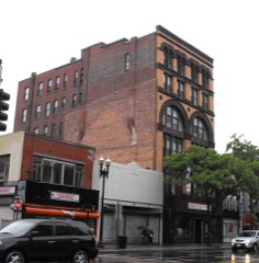
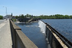
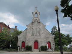
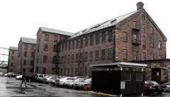
Listed places nearby
6 within 8 miles
Other National Register properties close
enough to walk or drive between, ordered by distance from this one. Both
positions come from the same geocoding pass that matched these properties
to their map sheets.
Listing record. National Park Service National Register of Historic Places, listed-properties dataset, current to 2026-05-22.
Map join. Address geocoded through the United States Census geocoder, then tested against the published boundary of every sheet in the USGS Historical Topographic Map Collection.
How this page is made. Listing fields come from federal records; map-sheet coverage is a labelled coordinate-to-boundary calculation, not a source-field claim.
Wildfire. Short, Karen C. 2022. Spatial wildfire occurrence data for the United States, 1992-2020 [FPA_FOD_20221014]. 6th Edition. Fort Collins, CO: Forest Service Research Data Archive. https://doi.org/10.2737/RDS-2013-0009.6 Collected with United States Government funding and usable without additional permissions or fees.
Specimens. Global Biodiversity Information Facility (GBIF), https://www.gbif.org/. Only records licensed CC0 or CC BY are used. Records licensed CC BY-NC are excluded because this site carries advertising. Images are checked individually and any whose licence is non-commercial, no-derivatives or unreadable is refused.
Mines and quarries. USGS Mineral Resources Data System (MRDS) https://mrdata.usgs.gov/mrds/ A work of the United States government, no copyright under 17 U.S.C. 105.
Storms. NOAA National Centers for Environmental Information, Storm Events Database https://www.ncei.noaa.gov/stormevents/ A work of the United States government, no copyright under 17 U.S.C. 105. Narratives are quoted verbatim from the National Weather Service report and are not edited or summarised.
 Block
Block