Block
From the record
One of 342 National Register listings published here for Norfolk County · listed in 1985 · category: Object.
Sources: the case file at the National Archives · the National Register database, National Park Service
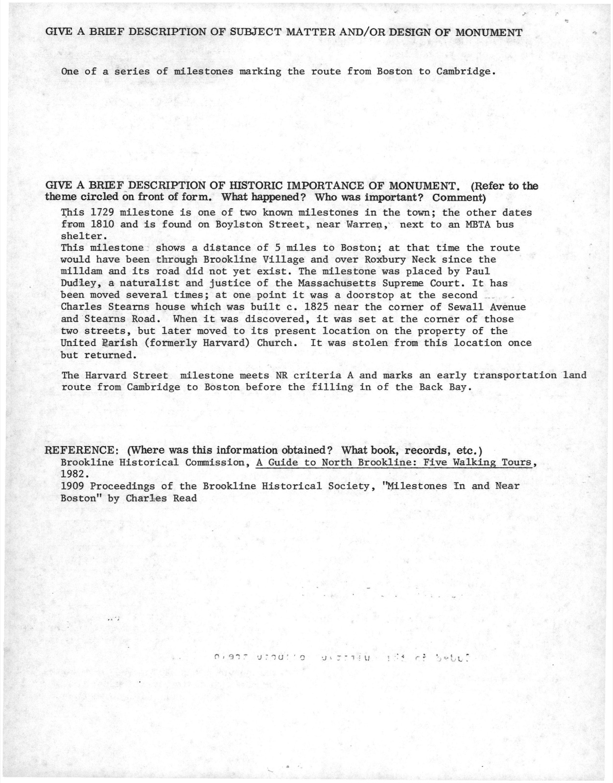
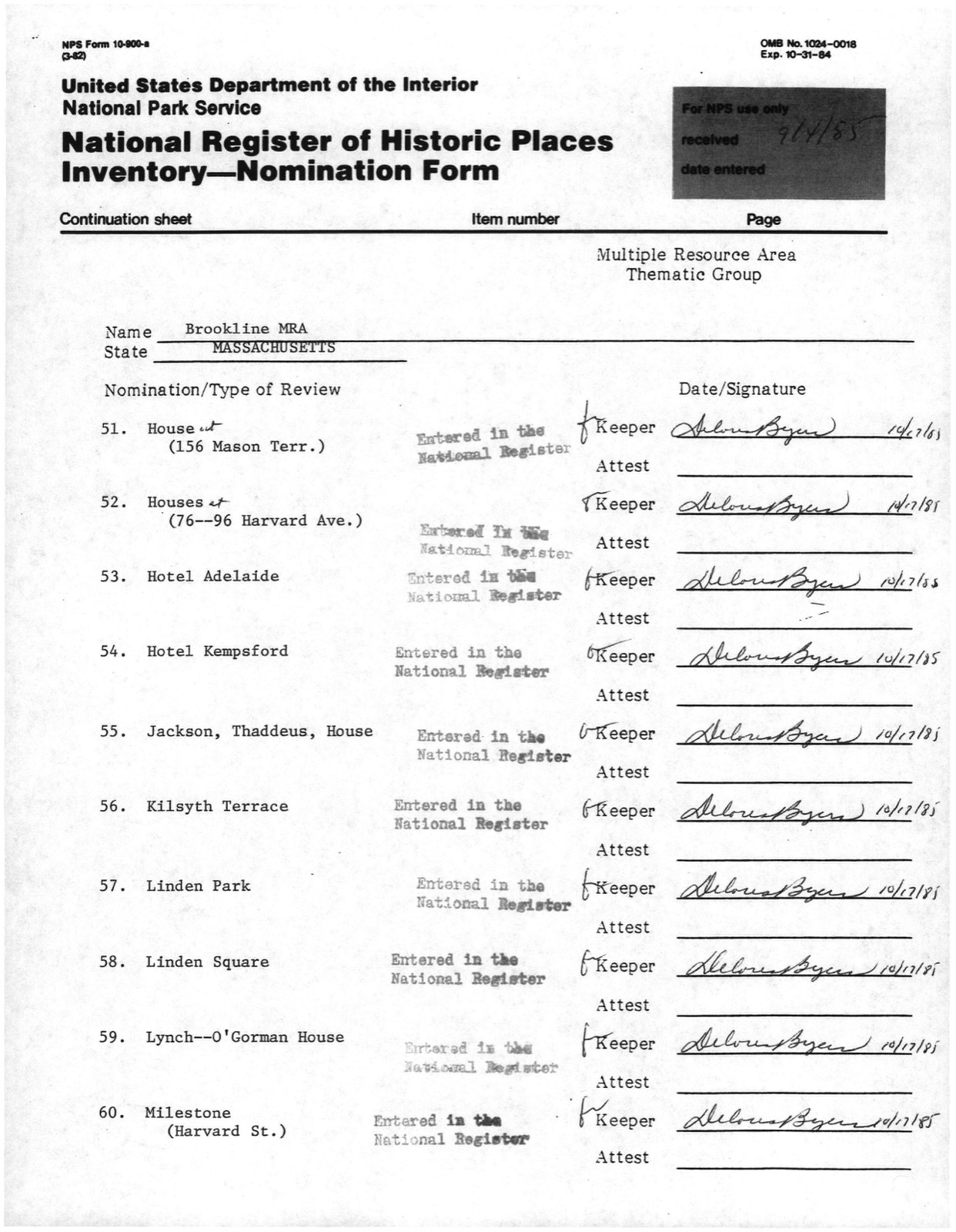
Photographs from the nomination case file, National Park Service records.
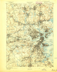
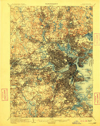
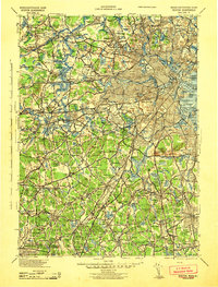
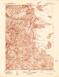
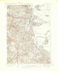
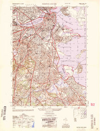
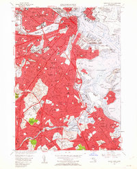
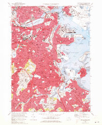
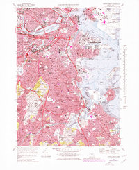
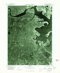
Listed on the National Register of Historic Places in 1985. 17 historic topographic surveys show this location, the earliest from 1893.
One of 342 National Register listings published here for Norfolk County · listed in 1985 · category: Object.
Sources: the case file at the National Archives · the National Register database, National Park Service
An account from the chapter on Brookline town. The inset identifies its exact source book and publication year.
"T shall be able to begin to travel home slowly in about 10 days, and shall, with the blessing of God, soon see you all. After being wounded I walked back to my tent, and in about an hour had only one arm, a circumstance which does not afflict me, my dear father, and must not you. But let us both thank God that he has so formed us that you have lived almost all your life happy & respectable, notwithstanding the loss of an eye, and I may spend the remainder of my life in the same manner with the loss of a limb, of all the most conveniently spared.
The chapter on Brookline Town in History of Norfolk County, Massachusetts, with Biographical Sketches of Many of Its Pioneers and Prominent Men, published 1884 names Brookline. This is what it says, exactly as the scans read.
Fisher's Hill, sometimes called Henshaw Hill, is two hundred and forty feet high, and is near the corner of Brighton and Boylston Streets, has a fine broad top, from which the view of the surrounding country is exceedingly elegant, and on account of the eleva- and on the southerly side of the old Boston reservoir. The prospect from this hill, like all the hills in Brookline, is fine, but quite limited in comparison with many The north side of this is covered with residences, and there are more fine locations here to be found.
Passage source: History of Norfolk County, Massachusetts, with Biographical Sketches of Many of Its Pioneers and Prominent Men, published 1884.
Harbor. larly circuitous that in passing from Dover to Sherburne over its bed in a straight line to its estuary or outlet is fourteen miles, while, taken by the serpentine course of its water, it measures thirty-eight and into the " Back Bay," sometimes called ' Charles River Bay," the centre of the stream forming the boundary line between Roxbury (Boston) and Brookline. The early settlement of the locality called " Muddy River" was named from the fact that this river was naturally muddy, owing to its peculiar location. itants there were two landings on this stream, known as "Cotton Landing" and " Aspinwall's Dock," where bricks and wood were landed. In order to a proper understanding as to how these docks were of use, direction, it empties into Muddy River near the works of the Brookline Gas Company. its rise near W. B. Cowan's farm and the vicinity of Warren Street, running in a northerly direction, and between the old reservoir belonging to the city of
Passage source: History of Norfolk County, Massachusetts, with Biographical Sketches of Many of Its Pioneers and Prominent Men, published 1884.
Machine-read from a century-old scan, so expect the errors a machine makes: misspelled names, dropped words, stray characters.
Read the whole chapter on Brookline Town - 53,501 words on its settlement, mills, schools and churches.
Regional context, not property-specific evidence. The federal wildfire occurrence database lists 27 fires within 5 miles of Milestone between 2015 and 2020, burning about 26 acres in total. None started naturally. 2 were recorded as arson. Distance is straight-line from the map coordinates, so a fire counted here may appear on a neighbouring settlement's page as well.
| Reported cause | Fires |
|---|---|
| Missing data/not specified/undetermined | 13 |
| Recreation and ceremony | 7 |
| Smoking | 3 |
| Arson/incendiarism | 2 |
| Equipment and vehicle use | 1 |
| Debris and open burning | 1 |
The most recent of them, most recent first, with the day each was reported and the service that recorded it.
| Date | Cause | Size | Reported by | Name on the report |
|---|---|---|---|---|
| 4 September 2018 | Missing data/not specified/undetermined | under an acre | Massachusetts Bureau of Forest Fire Control | not named |
| 3 September 2018 | Missing data/not specified/undetermined | under an acre | Massachusetts Bureau of Forest Fire Control | not named |
| 23 September 2020 | Missing data/not specified/undetermined | under an acre | Massachusetts Bureau of Forest Fire Control | not named |
| 23 September 2019 | Missing data/not specified/undetermined | under an acre | Massachusetts Bureau of Forest Fire Control | not named |
| 23 September 2019 | Missing data/not specified/undetermined | under an acre | Massachusetts Bureau of Forest Fire Control | not named |
| 2 September 2018 | Equipment and vehicle use | under an acre | Massachusetts Bureau of Forest Fire Control | BROOKLINE |
| 2 September 2017 | Recreation and ceremony | under an acre | Massachusetts Bureau of Forest Fire Control | QUINCY |
| 26 August 2017 | Smoking | under an acre | Massachusetts Bureau of Forest Fire Control | BROOKLINE |
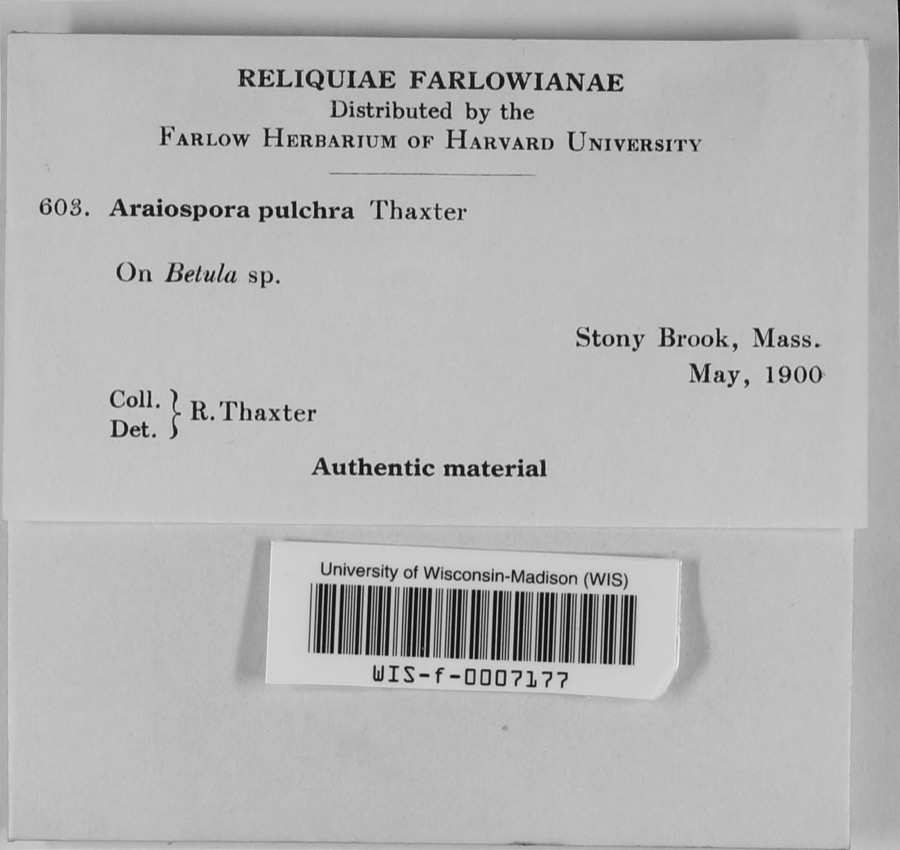
Regional context, not property-specific evidence. Museums hold 12,669 specimens collected within 10 miles of Milestone between 1810 and 1975: 5,208 Plantae, 3,858 Fungi, 3,135 Animalia, 193 Protozoa, 178 Chromista, 64 Unrecorded, 33 Bacteria. 12 distinct Species records are shown. Collected by (MARSDEN, H W), ?, ? ex Herb. W.G. Farlow and others. Each is a physical object with a catalogue number, and each entry opens the museum's record. This is what was collected and kept, not a survey of what lives here - nothing can be concluded from a species being absent.
| Image | Species | Year | Collected by | Where, as recorded |
|---|---|---|---|---|
 | Araiospora pulchra Thaxt. | 1900 | R. Thaxter | Stony Brook |
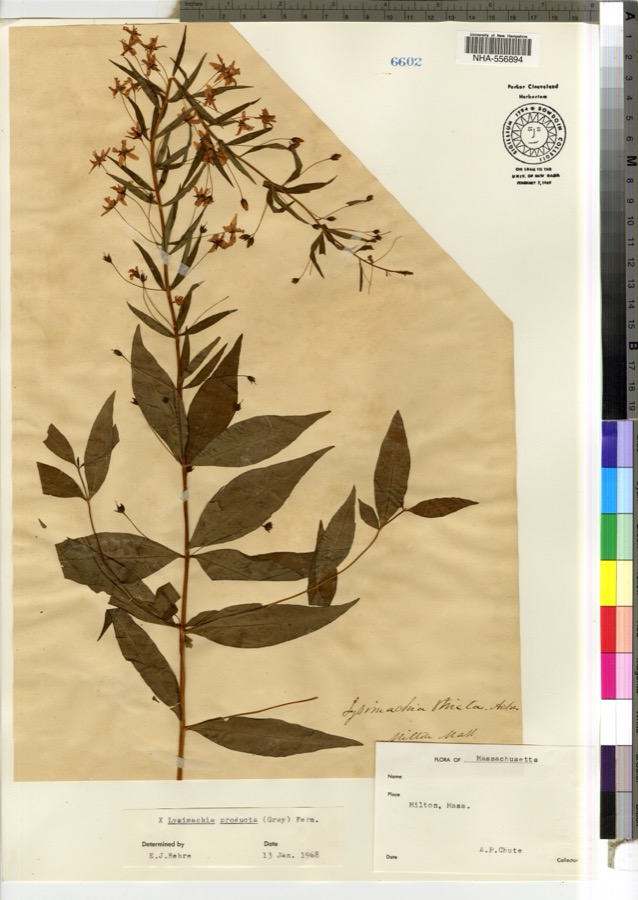 | Lysimachia × producta (A.Gray) Fernald | 1900 | A. P. Chute | |
 | Thalictrum L. | 1810 | Boott, J.W. | Near Boston. |
 | Anemone L. | 1815 | Boott, J. | Andover Turnpike, 7 miles from Boston. |
 | Corydalis Vent. | 1815 | Boott, F.M.B. | Worcester turnpike, 6 miles from Boston. |
 | Corylus L. | 1815 | not recorded | Cambridge Port, 2 miles from Boston. |
| Ericaceae | 1815 | Boott | Boston, U.S.A. | |
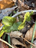 | Hepatica Mill. | 1815 | Boott, F.M.B. | Sweet Auburn. |
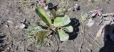 | Limonium vulgare Mill. | 1815 | not recorded | On Cragies Road [=near Cragies Bridge], 1 1/2 miles from Boston. |
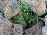 | Mollugo verticillata L. | 1815 | Boott, F.M.B. | Boston. |
 | Nuphar Sm. | 1815 | Boott, J.W. | Worcester Turnpike 6 miles from Boston. |
 | Persicaria (L.) Mill. | 1815 | Boott, J.W. | Craigie's Road, 2 miles from Boston. |
All 12,669 specimens within 10 miles, at the Global Biodiversity Information Facility.
Regional context, not property-specific evidence. The federal mineral resources record lists 10 workings within 5 miles of Milestone: 8 plants, 2 past producers. 8 still produce. What was taken out: Iron, Lead, Tantalum, Niobium (Columbium). Distance is straight-line from the map coordinates, so a quarry counted here may appear on a neighbouring settlement's page as well.
| Where | Site | Commodity | Status | Recorded |
|---|---|---|---|---|
| C. J. Mabardy | Sand and Gravel, Construction | Past Producer | ||
| Nrc Inc--Newton, Ma. | Tantalum, Niobium (Columbium) | Plant | ||
| Us Gypsum Co--Boston | Gypsum-Anhydrite | Past Producer | ||
| Whittemore Prdts Inc--Boston | Perlite | Plant | ||
| (Facility) Cambridge Smelter Co | Lead | Plant | ||
| General Metals & Smelting--Boston | Lead | Plant | ||
| Industrial Serv. Centers--Cambridge | Iron | Plant | ||
| Somerville Smelting Co. | Lead | Plant | ||
| Us Steel Supply Div--Boston | Iron | Plant | ||
| Wheelock-Lovejoy--Cambridge, Ma. | Iron | Plant |
Regional context, not property-specific evidence. The National Weather Service names Brookline, the town this property stands in, in 19 storm reports between 1995 and 2022: 13 thunderstorm wind, 3 flash flood, 2 flood, 1 hail. No death or injury is recorded in these reports. Each account below is quoted exactly as the forecast office filed it, from the NOAA Storm Events Database, and each date opens the federal record of that event.
| When | Event | Place named | Harm | What the report says |
|---|---|---|---|---|
| August 2015 | Thunderstorm Wind | Brookline | $15,000 | Several trees and wires on Cottage Street and Dean Road were downed by thunderstorm winds. In addition, an amateur radio operator reported a 58 mph wind gust. |
| August 2015 | Thunderstorm Wind | Brookline | $10,000 | Several trees and wires on Route 9 were downed by thunderstorm winds. |
| June 2010 | Thunderstorm Wind | Brookline | $10,000 | A tree on Beacon Street was downed onto a car. |
| June 2006 | Thunderstorm Wind | Brookline | $10,000 | no account filed |
| June 2013 | Thunderstorm Wind | Brookline | $3,000 | A tree on Forest Street was downed by thunderstorm winds, blocking the street. |
| August 2011 | Thunderstorm Wind | Brookline | $3,000 | Several large branches near Hellenic College, Lars Anderson Park, and on Park and Avon Streets were downed by thunderstorm winds. |
| June 2020 | Thunderstorm Wind | Brookline | $2,500 | In Brookline, at 1259 PM EST (159 PM EDT), a tree was down onto a building on Perry Street. At 101 PM EST (201 PM EDT), a tree was down on the 200 block of Walnut Street. |
| June 2021 | Thunderstorm Wind | Brookline | $1,100 | In Brookline, a tree and power lines were down on Walnut Hill Road and wires were down on Wolcott Road. |
| October 2022 | Flood | Brookline | - | In Brookline, street flooding closed Woodland Road at Hammond Street and Goddard Avenue at Cottage Street. Report relayed by amateur radio. |
| June 2012 | Thunderstorm Wind | Brookline | - | Several trees were downed by thunderstorm winds. Several tents at an amateur radio field day event were blown over. |
| August 2010 | Flood | Brookline | - | Portions of Route 9 (Boylston Street) were flooded with up to three feet of water. Newton and South Streets and Clark Road were impassable due to flooding. |
| June 2010 | Thunderstorm Wind | Brookline | - | An anemometer at the Clay Center Observatory recorded a wind gust of 61 mph. |
| August 2015 | Hail | Brookline | - | no account filed |
| June 2000 | Thunderstorm Wind | Brookline | - | no account filed |
| May 1998 | Thunderstorm Wind | Brookline | - | no account filed |
| October 1996 | Flash Flood | Brookline | - | no account filed |
| October 1996 | Flash Flood | Brookline | - | no account filed |
| October 1996 | Flash Flood | Brookline | - | no account filed |
| October 1995 | Thunderstorm Wind | Brookline | - | no account filed |
United States Geological Survey topographic sheets whose coverage includes this point. Matched by taking the coordinate the National Park Service records for this property, then testing that coordinate against the published boundary of every sheet.
When this property was proposed for the National Register, someone wrote the case for it: what the building is, and why it matters. That document is a federal record in the public domain. It is reproduced in full on its own page, word for word and never summarised. The text was read off the scanned case file by machine, so the occasional stray character is the recogniser's and the 1970s typewriter's.
The whole case file for this property - 1,169 words, 7 pages, reproduced complete.
Quoted from the National Register nomination for reference 85003301, 7 pages, held by the National Archives in Record Group 79. See the catalogue record.
Other National Register properties close enough to walk or drive between, ordered by distance from this one. Both positions come from the same geocoding pass that matched these properties to their map sheets.
| Photograph | Property | Distance | Listed |
|---|---|---|---|
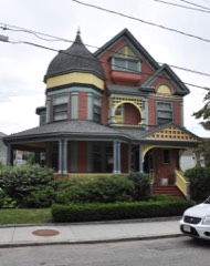 | House at 12 Vernon Street | 0.1 miles | 1985 |
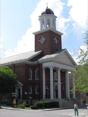 | Second Unitarian Church | 0.2 miles | 1985 |
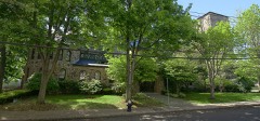 | St. Mark's Methodist Church | 0.2 miles | 1976 |
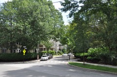 | Cypress-Emerson Historic District | 0.2 miles | 1985 |
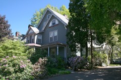 | William Murphy House | 0.2 miles | 1985 |
| Arcade Building | 0.3 miles | 1985 |
| National Archives record | The nomination case file for reference 85003301 in Record Group 79. |
| Norfolk County | All 342 listed properties in this county. |