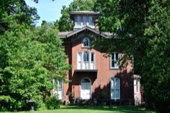
Listed on the National Register of Historic Places in
1986. A historic map-sheet match is not published yet. The record needs a coordinate-quality review before it can be joined to a sheet boundary.
From the record
one of 35 National Register listings in Knox County · listed in 1986 · category: Building.
National Register reference number.86001567- the number the National Park Service assigned this property when it was listed, and the key its nomination file is catalogued under at the National Archives.
What happened here
An account from the chapter on Liberty township, The inset identifies its exact
source book and publication year.
Of these children one is renowned as having built Fort Wintermoot, near Wilkesbarre, Pennsylvania. One was said to have been killed in the massacre of the Wyoming, one killed in battle, one uniting his fortunes with the British removed to Canada, where his descendants now reside, near Fort Erie, and who are reputed to be quite wealthy.
Regional context, not property-specific
evidence. The
federal wildfire occurrence database
lists 1 fire within 5 miles of Knox County Infirmary between
2012 and 2012, burning about 6 acres in total. None started naturally. None was recorded as arson.
Distance is straight-line from the map coordinates, so a fire counted
here may appear on a neighbouring settlement's page as well.
Reported cause
Fires
Missing data/not specified/undetermined
1
The most recent of
them, most recent first, with the day each was reported and the service
that recorded it.
Regional context, not property-specific
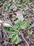
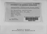
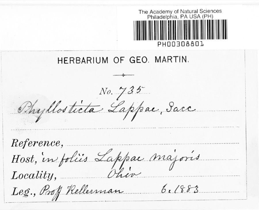
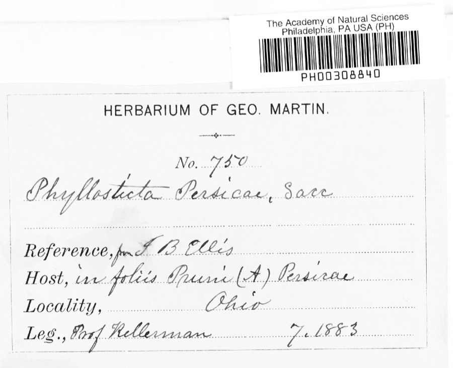
evidence. Museums hold 934 specimens
collected within 10 miles of Knox County Infirmary between 1835 and
1975: 865 Animalia, 47 Fungi, 21 Plantae, 1 Protozoa. 12 distinct Species records are shown.
Collected by A. P. Morgan, Andriessen, H., Barker and others. Each is a
physical object with a catalogue
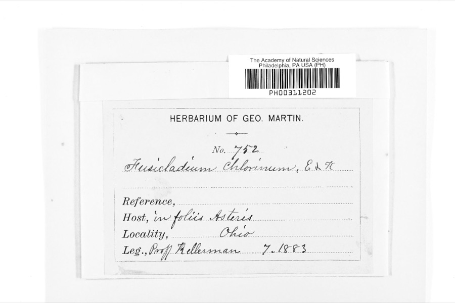
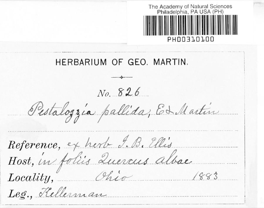
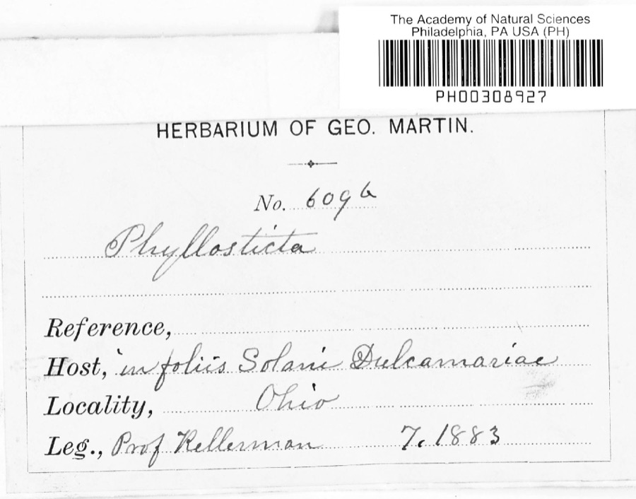
number, and each entry opens the museum's record. This is what was
collected and kept, not a survey of what lives here - nothing can be
concluded from a species being absent.
Regional context, not property-specific
evidence. The federal mineral resources record lists
3 workings within 5 miles of Knox County Infirmary: 2 producers, 1 past producer.
2 still produce. What was taken out: Sand and Gravel, Construction. Distance is straight-line from the
map coordinates, so a quarry counted here may appear on a neighbouring
settlement's page as well.
Regional context, not property-specific
evidence. The National Weather Service names
Mount Vernon, the town this property stands in, in 2 storm reports between 1995 and 1995: 1 thunderstorm wind, 1 hail.
The reports record 1 injury. Each account below is quoted exactly as the forecast office
filed it, from the NOAA Storm Events Database, and each date
opens the federal record of that event.
A downburst with winds as high as 90 mph downed hundreds of trees, some on structures and vehicles. Signs were blown down and some windows were broken and minor roof damage occurred to several buildings. A dog was electrocuted when a live power line fell onto the dogbox. A man was injured by a falling tree limb and another man, sleeping in his bedroom, escaped injury when a large limb crashed through his ceiling missing him by inches. Three state highways where closed until storm debris could be removed, one for over 24 hours.
Large hail fell. A 41-year-old man was struck by lightning while working inside his new home which was under construction. The house appears to have been struck first and the charge passed through the man causing minor burns.
No historic map-sheet match is published
for this property yet. That does not mean no map exists. This record needs
a coordinate-quality review before it can be joined to a sheet boundary.
Browse the county's mapped places while that work is
pending.
From the nomination file
2,168 words on record
When this property was proposed for the
National Register, someone wrote the case for it: what the building is,
and why it matters. That document is a federal record in the public domain.
It is quoted below word for word, never summarised. The text was read off the scanned case file by machine, so the
occasional stray character is the recogniser's and the 1970s
typewriter's.
Description of the property
and is accented by a stone label lintel. The central section is capped by a gable roof is the highest point on the building, six stories high and sixty-five feet above the ground. It is crowned by an ornately gabled mansard roof. At either end of the building are two long narrow wings, set on the same plane as the dormer windows. Thus, the building has a varied and picturesque appearance. Inside, the building is plainly finished. It contained over.one hundred small rooms once led to the second floor but was removed because of extensive deterioration. cluded in this nomination.
Condition ruins fair is a symmetrical structure that consists of five distinct sections.The central section Check one Changes made to the building consist of removing some non-load bearing partitions between of the nominated property since the earlier photographs.Additional photographs were Attractive ventilators form subsidiary towers atop the centers of each of these side wings. The brick walls have been cleaned and repointed and a new asphalt shingle roof installed. center section which has entrances at grade level and on the floor above.
Smooth belt This is a four story brick building that measures seventy-five by one hundred twenty courses of sandstone articulate each floor level in this section while the window openings The grounds are attractively landscaped with shade trees and an ornate iron fence taken at that time to support this claim. Please note that a site visit was made in March 1986 to confirm the unchanged status in that the windows have rectangular stone Tintels and sills and in the omission of the connected by window spacious corridors on each level.A simple wainscote appears on each one at each end of the building. No fireplaces exist in the building.
(in one paragraph) _economics In1842,the Knox County Commissioners first established a county infirmary by purchasing - - other(specify) - archeology-prehistoric community planning landscape architecture - archeology-historic - architecture proposals for a new building which would cost no more than $50,000. The Columbus firm of J.B. Tinsley and Company prepared an attractive set of plans and cost estimates. expressed by a leading proponent of such well-ordered architecture, Thomas Kirkbride, lations were passed into law which upgraded safety provisions. inhabitants.
This Kirkbride plan fell from favor in the 1880s but its great influence 1400-1499 art 1600-1699 prehistoric rehabilitation which was possible through correct environment.This philosophy was best repaired and some additions made to accomodate the new institution.The Ohio legislature Specific dates 1875-77 At a time when many older county infirmary buildings are threatened by new regulations religion 9.
Quoted from the National Register nomination
for reference 86001567, 16 pages, held by the National Archives in Record
Group 79. See the
catalogue record.
Listed places nearby
6 within 8 miles
Other National Register properties close
enough to walk or drive between, ordered by distance from this one. Both
positions come from the same geocoding pass that matched these properties
to their map sheets.
Listing record. National Park Service National Register of Historic Places, listed-properties dataset, current to 2026-05-22.
Map join. Address geocoded through the United States Census geocoder, then tested against the published boundary of every sheet in the USGS Historical Topographic Map Collection.
How this page is made. Listing fields come from federal records; map-sheet coverage is a labelled coordinate-to-boundary calculation, not a source-field claim.
Wildfire. Short, Karen C. 2022. Spatial wildfire occurrence data for the United States, 1992-2020 [FPA_FOD_20221014]. 6th Edition. Fort Collins, CO: Forest Service Research Data Archive. https://doi.org/10.2737/RDS-2013-0009.6 Collected with United States Government funding and usable without additional permissions or fees.
Specimens. Global Biodiversity Information Facility (GBIF), https://www.gbif.org/. Only records licensed CC0 or CC BY are used. Records licensed CC BY-NC are excluded because this site carries advertising. Images are checked individually and any whose licence is non-commercial, no-derivatives or unreadable is refused.
Mines and quarries. USGS Mineral Resources Data System (MRDS) https://mrdata.usgs.gov/mrds/ A work of the United States government, no copyright under 17 U.S.C. 105.
Storms. NOAA National Centers for Environmental Information, Storm Events Database https://www.ncei.noaa.gov/stormevents/ A work of the United States government, no copyright under 17 U.S.C. 105. Narratives are quoted verbatim from the National Weather Service report and are not edited or summarised.
 Block
Block