Listed on the National Register of Historic Places in
1987. A historic map-sheet match is not published yet. The record needs a coordinate-quality review before it can be joined to a sheet boundary.
From the record
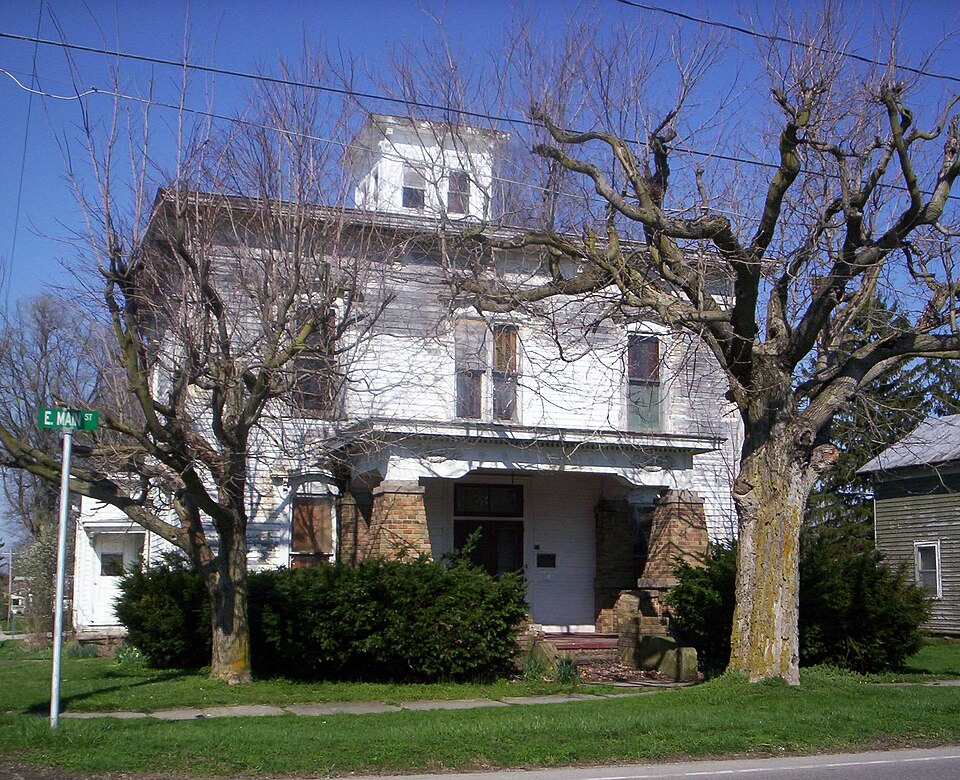
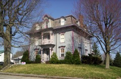
“The Silas Ferrell House is a historic residence in the village of Shiloh, Ohio, United States. Built in the closing decades of the nineteenth century as the home of a wealthy businessman, the house exemplifies the economic prosperity of 1880s Shiloh.”
Wikipedia article Silas Ferrell House, CC BY-SA 4.0.
one of 61 National Register listings in Richland County · listed in 1987 · category: Building.
National Register reference number.87002146- the number the National Park Service assigned this property when it was listed, and the key its nomination file is catalogued under at the National Archives.
It is generally level, very fertile, and an excellent fruit-growing district. The southern part is well watered by the Black Fork and tributaries, and the northern part by the tributaries of the Hur.)n River, the dividing ridge running near the village of Shiloh.
The first settlement of this township was made near the head-waters of the Black Fork, in 1815, on Sections 13 and 24. John Long, from Knox County, formerly from Penns}'!- vania, settled on the former, and John McCart on the latter. Both families came about the same time, but McCart built the first cabin in the township, and Long the second. Other settlements were rapidly made. Among those who came in that and the year following, may be mentioned John Morris, who settled on Section 4 ; Daniel Cronsales, Section 9 ; Asa 3Iurphy and familj', including a son, Asa, from Virginia, Section 1 : Daniel Prosser, Section 21. Robert Greene came in 1816, from Hampshire County, Va., and [Thomas McBride in 1817, settling on Section 3. The following persons settled near the present site of the village of Shiloh, from 1816 to 1825: Frank Carmichael, Levi Bodle}^, William BodW, Theson Richardson, Cornelius Brink, John and Aaron Pettit, Ephraim Vail, Richard Thew, John and Isaac Murphy, Reason Barnes, Thomas James, Benjamin Young, William Cotton, Peter Hall, John Long, Jr., Thomas Hamilton and James Long. The settlement of this township began after the war of 1812, when there was a good deal of excitement about, and quite a rush for, Ohio lands ; consequenth', it filled up rapidly, a majority of the settlers ]>eing from Western Pennsylvania and Virginia, a few, from New Jersej" and the New England States. The earl}- history of the township is meager. It does not differ from the general history' of other townships in earl}' days, except perhaps it was more quiet, no Indians of consequence being encamped within the limits of the township, except a small band of Wj'andots or Delawares (probably a part of Armstrong's band of Creentown Indians), who had a permanent camp on the head-waters of the Black Fork. The settlers were never molested b}' them. There is the usual supply of bear and deer hunting stories, but none of sufficient importance for preservation. The entire township was heavily timbered with l)eech, oak, sugar, hickory, ash, and all other varieties of hard Avood. It is quite probable that none of the earl}^ settlers found sufficient room to build their cabins without first cutting away the trees and brush. Thus the pioneers hewed out the homes for those who now enjoy them. A few of them 3'et remain, grayhaired and bending with the weight of years, living monuments of days that are fast fading, and can scarcely be comprehended by the generations of to-day.
Regional context, not property-specific
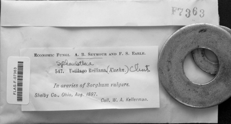
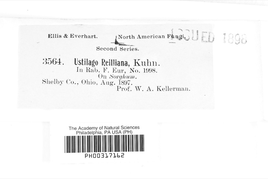
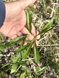
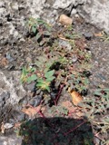
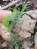
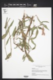
evidence. Museums hold 61 specimens
collected within 10 miles of Ferrell, Silas, House between 1869 and
1951: 25 Animalia, 20 Fungi, 16 Plantae. 12 distinct Species records are shown.
Collected by Chase, H. (Hazel), Eric G. Chapman, Jennings, O.E. and others. Each is a
physical object with a catalogue
number, and each entry opens the museum's record. This is what was
collected and kept, not a survey of what lives here - nothing can be
concluded from a species being absent.
Regional context, not property-specific
evidence. The National Weather Service names
Shiloh, the town this property stands in, in 19 storm reports between 1998 and 2019: 10 hail, 9 thunderstorm wind.
No death or injury is recorded in these reports. Each account below is quoted exactly as the forecast office
filed it, from the NOAA Storm Events Database, and each date
opens the federal record of that event.
Hail was initially observed in the area as penny size, but over the next few minutes the hail grew to walnut size before the storm passed through the area.
A large complex of thunderstorms hit the county with estimated wind gusts of 50mph. Structural damage was reported in Mansfield. The nature of the structural damage was not specified in the public report. Large tree branches were downed in the Mansfield area.
No historic map-sheet match is published
for this property yet. That does not mean no map exists. This record needs
a coordinate-quality review before it can be joined to a sheet boundary.
Browse the county's mapped places while that work is
pending.
From the nomination file
1,645 words on record
When this property was proposed for the
National Register, someone wrote the case for it: what the building is,
and why it matters. That document is a federal record in the public domain.
It is quoted below word for word, never summarised. The text was read off the scanned case file by machine, so the
occasional stray character is the recogniser's and the 1970s
typewriter's.
Statement of significance
Period of Significance Significant Person State significance ofproperty, and justify criteria, criteria considerations, and areas and periods of significance noted above. windows and cornice, flattened arch windows with bracketed hoods, bracketed With its high degree of integrity and its ornate decorative treatment, the the village was actively developing as a small commercial center along the the planting of better crops, and the development of effective cleaners contributed materially to increasing agricultural productivity. A.T. Ferrell 1880 1927 Architecture buildings.
Unknown Architect/Builder See continuation sheet Significant Dates intended to remove weed and other foreign substances from crop seed to insure the most prominent and successful businessmen in Shiloh during the period when continued producing cleaners in Shiloh, but the company grew rapidly under his preserved example of Italianate architecture in the Village of Shiloh.The three-bay front facade is typical of this style and the ornate millwork on the cornice, metal hip roof, and central cupola are all distinctive Italianate direction, and two year later was relocated to Saginaw, Michigan.A.T.
Silas Ferrell House still reflects the position of its first owner as one of Areas of Significance (enter categories from instructions) Ferrell & Co.developed a world-wide market for its seed and grain cleaners, worked in the general store until 1890,when he sold his interest in the store sufficient integrity of design to merit National Register consideration;-only to his father and bought Clipper Cleaners from Smith.(Albert's name is still and by World War I was offering 42 different models of cleaners. are all original and also exemplify the period in which the house was built. Applicable National Register Criteria J.E.Smith, operated a grain elevator and manufactured "Clipper" seed Cultural Affiliation ZNocally Criteria Considerations (Exceptions) cleaners. Albert T.
Quoted from the National Register nomination
for reference 87002146, 12 pages, held by the National Archives in Record
Group 79. See the
catalogue record.
Listed places nearby
4 within 8 miles
Other National Register properties close
enough to walk or drive between, ordered by distance from this one. Both
positions come from the same geocoding pass that matched these properties
to their map sheets.
Listing record. National Park Service National Register of Historic Places, listed-properties dataset, current to 2026-05-22.
Map join. Address geocoded through the United States Census geocoder, then tested against the published boundary of every sheet in the USGS Historical Topographic Map Collection.
How this page is made. Listing fields come from federal records; map-sheet coverage is a labelled coordinate-to-boundary calculation, not a source-field claim.
Specimens. Global Biodiversity Information Facility (GBIF), https://www.gbif.org/. Only records licensed CC0 or CC BY are used. Records licensed CC BY-NC are excluded because this site carries advertising. Images are checked individually and any whose licence is non-commercial, no-derivatives or unreadable is refused.
Storms. NOAA National Centers for Environmental Information, Storm Events Database https://www.ncei.noaa.gov/stormevents/ A work of the United States government, no copyright under 17 U.S.C. 105. Narratives are quoted verbatim from the National Weather Service report and are not edited or summarised.
 Block
Block