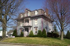
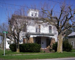
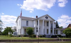
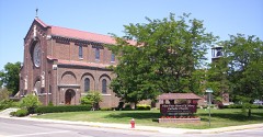
Listed on the National Register of Historic Places in
1996. A historic map-sheet match is not published yet. The record needs a coordinate-quality review before it can be joined to a sheet boundary.
From the record
“There is this somewhat remarkable fact about the early history of the place - it was a town before any one thought of laying out or platting it. Generally, towns are planted, as it were, nourished and made to grow ; but Plymouth, or Paris, as it was first called, sprang up, grew and developed, like a mushroom in the wilderness.”
History of Richland County, Ohio : (including the Original Boundaries) ; Its Past and Present, Containing a Condensed Comprehensive History of Ohio, Including an Outline History of the Northwest, a Complete History of Richland County ... Miscellaneous Matter, Map of the County, Biographies and Histories of ... the Most Prominent Families, &c., &c. (1880). Machine-read text.
one of 61 National Register listings in Richland County · listed in 1996 · category: Building.
National Register reference number.96000116- the number the National Park Service assigned this property when it was listed, and the key its nomination file is catalogued under at the National Archives.
Ii was along this military road that the first settlers advanced in search of homes in the ^Yest, and naturally enough, upon this road that the first settler in Plymouth Township is found, upon the present site of the village of Pl3'mouth. Here, on the headwaters of the Huron River, Abraham Trux erected his cabin, on the northwest quarter of Section 5, in the spring of 1815, and became the first settler. This cabin stood on the bank of an insignificant branch of the river, which passes through the village, and was a double cabin, of round logs. The lot is now owned by Aaron Kappenberg, and his butcher-shop occupies the exact spot upon which this first caljin was erected. Other settlers came in during this year (1815), some of them probably about the same time with 3Ir. Trux. Among these were John Concklin, who settled on the northeast quarter of Section 6 ; Daniel Kirkpatrick, northeast quarter of Section 8 ; Robert Green, southeast quarter of Section 4 ; and John Long, northwest quarter of Section 13. William and Daniel Prosser also came in this year or eai-ly in 181(3, the former settling on Section 19, and the latter on Section 13. In 1816, came John Morris, who settled on Section 15 ; Thomas McCluer, Section 14 ; James Gardner and Michael Gipson, Section 1 ; James Douglas, Section 35. Settlers continued to arrive rapidly until in 1818, when there was a suflflcient number to organize a township. The first election was held in the spring of 1818, in which Abraham Trux was made Justice of the Peace, Stephen Weliber, Constable ; John Concklin, John Long, and Thomas McClure, Trustees. Thomas Mc- Cluer was made Clerk, and Asa Murphy, Treasurer.
There were prol)a])ly not more than five hewed-log houses in the township prior to 1820. These were owned by Alexander 3IcBride, Mr. Grrifflth, John Long, Benjamin Wooley and Jacob Vanhouten. Long and Vanhouten had boards, supported by poles, in front of their cabins, upon which was inscribed " Entertainment," wdiich meant, in those days, "hog, hominy and whisky," which were enjoyed by the weary traveler at a moderate compensation. Whisky was 15 cents per gallon - the pure stuff - and was therefore used about as freely as w^ater. Until 1822, the mails were carried on horseback and on foot, but about this date stages made their appearance, a route having been established from Columbus to Portland (now Sandusky City). These stages followed "Beall's trail " through this part of the country. What a wealth of fact and romance must have been crowded into the lives of those stagedrivers ! The first post office established in that part of the country was about the year 1817, a few miles east of Plymouth Village, on the military road, on Section 4 of what is now Cass Township. It was kept by a jolly old Hollander by the name of Jacol) "V^anhouten, and called "Plymouth." The regular sixhorse teams began also to make their appearance along the trail, loaded with produce for the lakes. Arriving at the lakfe, they would discharge their cargoes and load up with salt, fish, etc., for the return trip.
Regional context, not property-specific
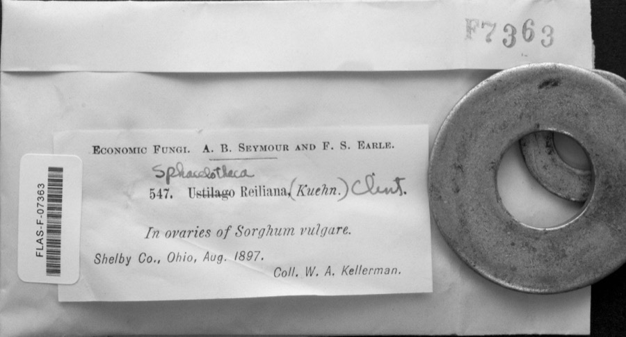
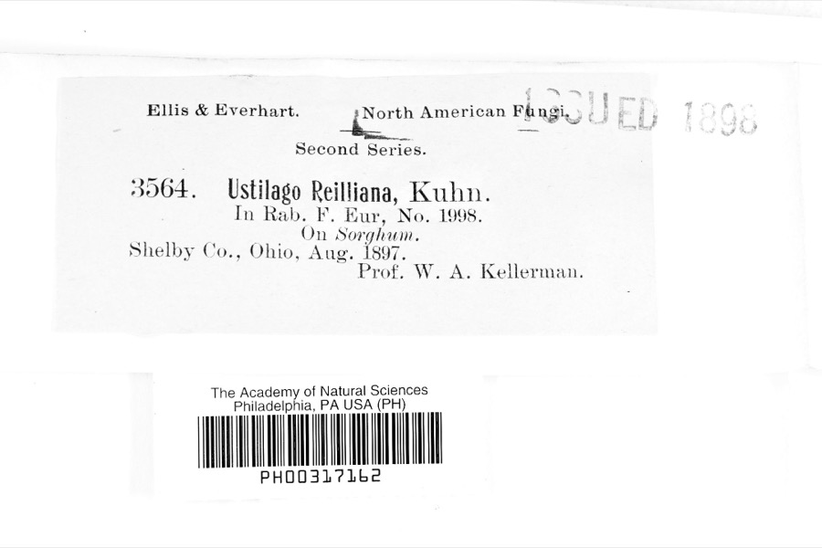
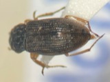
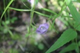
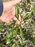
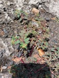
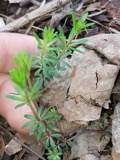
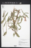
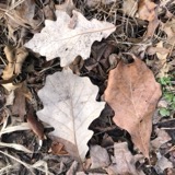
evidence. Museums hold 42 specimens
collected within 10 miles of Plymouth Greenlawn Cemetery Chapel between 1869 and
1951: 20 Fungi, 16 Plantae, 6 Animalia. 12 distinct Species records are shown.
Collected by Chase, H. (Hazel), Eric G. Chapman, Jennings, O.E. and others. Each is a
physical object with a catalogue
number, and each entry opens the museum's record. This is what was
collected and kept, not a survey of what lives here - nothing can be
concluded from a species being absent.
No historic map-sheet match is published
for this property yet. That does not mean no map exists. This record needs
a coordinate-quality review before it can be joined to a sheet boundary.
Browse the county's mapped places while that work is
pending.
From the nomination file
2,481 words on record
When this property was proposed for the
National Register, someone wrote the case for it: what the building is,
and why it matters. That document is a federal record in the public domain.
It is quoted below word for word, never summarised. The text was read off the scanned case file by machine, so the
occasional stray character is the recogniser's and the 1970s
typewriter's.
Statement of significance
for National Register listing.) - A Property is associated with events that have made a significant contribution to the broad patterns of Property is associated with the lives of persons X C Property embodies the distinctive characteristics of a type, period, or method of construction or represents the work of a master, or possesses high artistic values, or represents a significant and distinguishable entity whose components lack D Property has yielded, or is likely to yield, information important in prehistory or history. (Mark "x" in all the boxes that apply.) XX.A owned by a religious institution or used for [X B removed from its original location. - C a birthplace or grave. - D a cemetery. - E a reconstructed building, object, or structure. - F a commemorative property.
-G less than 50years of age or achieved significance within the past 50 years.
Quoted from the National Register nomination
for reference 96000116, 19 pages, held by the National Archives in Record
Group 79. See the
catalogue record.
Listed places nearby
4 within 8 miles
Other National Register properties close
enough to walk or drive between, ordered by distance from this one. Both
positions come from the same geocoding pass that matched these properties
to their map sheets.
Listing record. National Park Service National Register of Historic Places, listed-properties dataset, current to 2026-05-22.
Map join. Address geocoded through the United States Census geocoder, then tested against the published boundary of every sheet in the USGS Historical Topographic Map Collection.
How this page is made. Listing fields come from federal records; map-sheet coverage is a labelled coordinate-to-boundary calculation, not a source-field claim.
Specimens. Global Biodiversity Information Facility (GBIF), https://www.gbif.org/. Only records licensed CC0 or CC BY are used. Records licensed CC BY-NC are excluded because this site carries advertising. Images are checked individually and any whose licence is non-commercial, no-derivatives or unreadable is refused.
 Block
Block