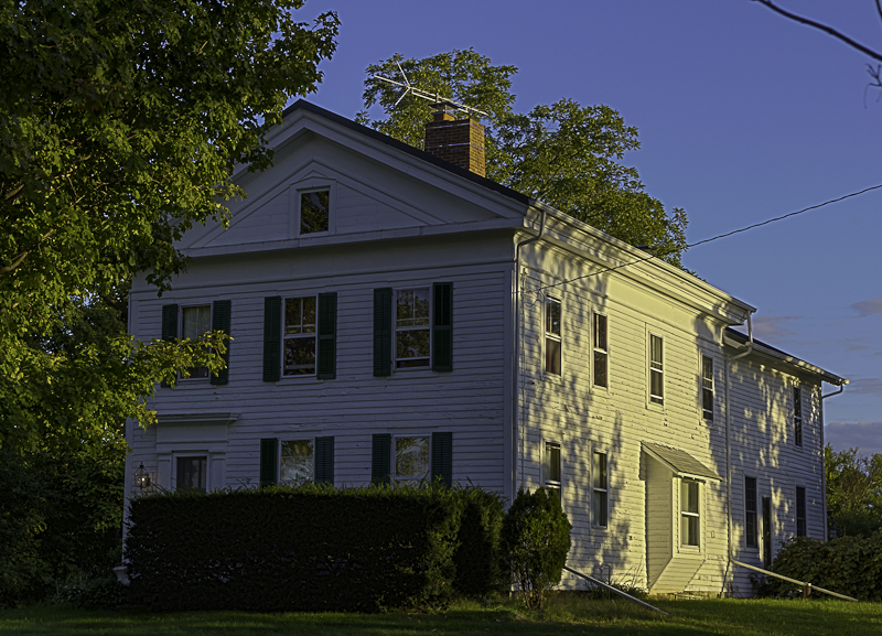
Listed on the National Register of Historic Places in
1988. A historic map-sheet match is not published yet. The record needs a coordinate-quality review before it can be joined to a sheet boundary.
From the record
one of 27 National Register listings in Medina County · listed in 1988 · category: Building.
National Register reference number.88002747- the number the National Park Service assigned this property when it was listed, and the key its nomination file is catalogued under at the National Archives.
The ground it stands on
603 words
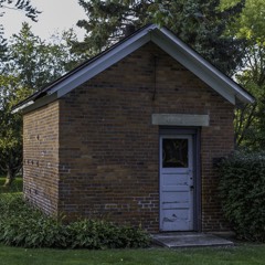
This property stands in Westfield Township. Pioneer History of Medina County, published 1861 gives that township a chapter of its own.
The chapter covers the township.
Machine-read from a century-old scan, so
expect the errors a machine makes: misspelled names, dropped words,
stray characters.
Regional context, not property-specific
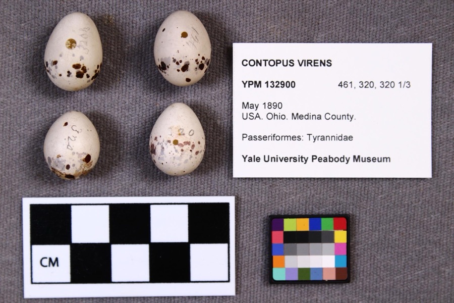
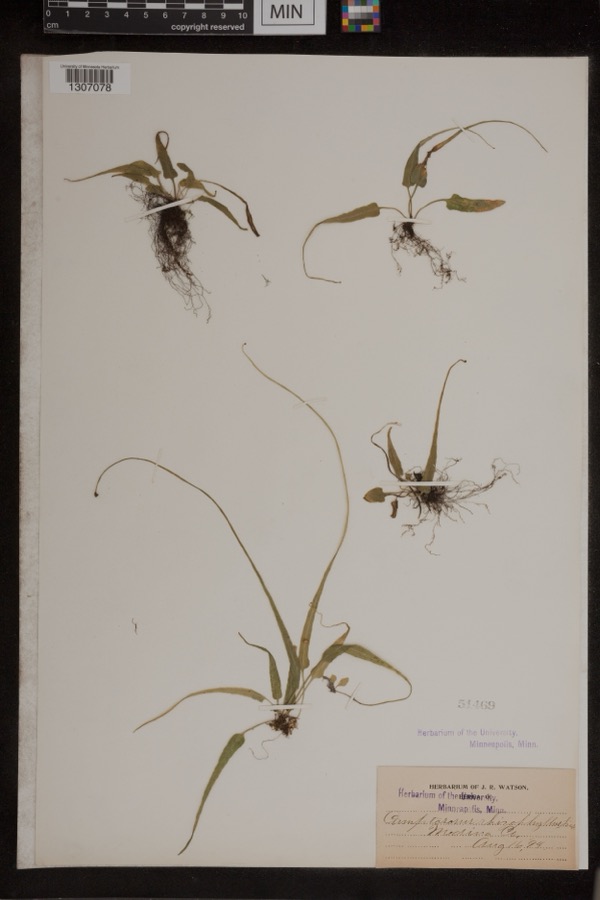
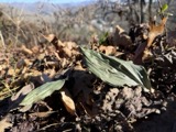
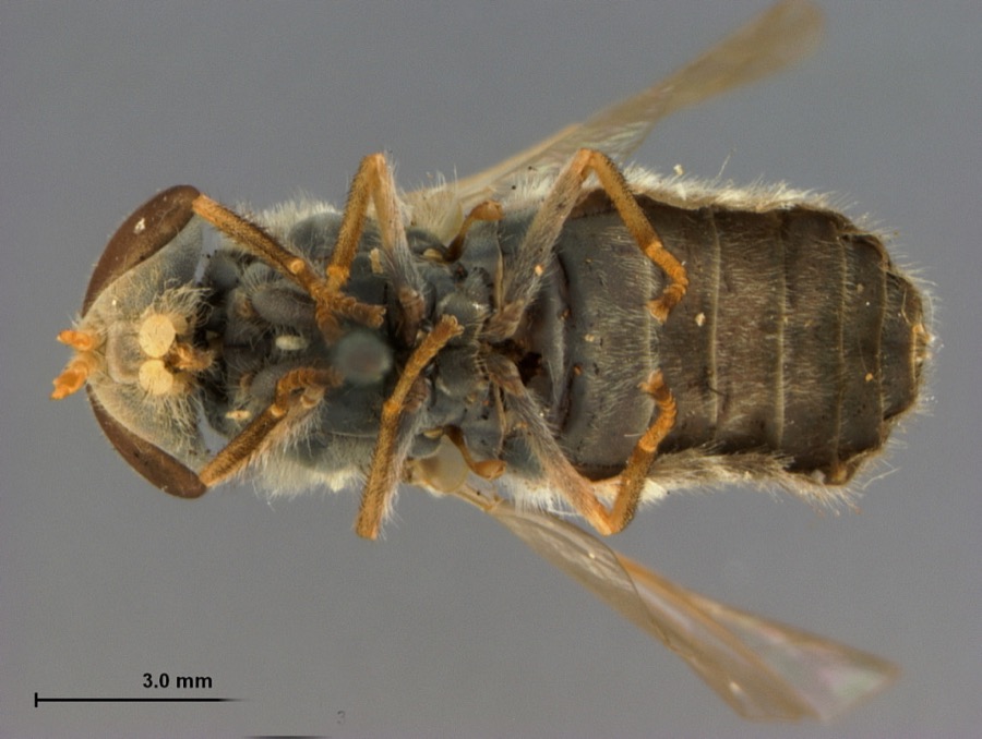
evidence. Museums hold 232 specimens
collected within 10 miles of Hulburt, Halsey, Homestead between 1884 and
1975: 215 Animalia, 11 Plantae, 5 Fungi, 1 Protozoa. 12 distinct Species records are shown.
Collected by A. Roberts, B Zahuranec & party, Bosler and others. Each is a
physical object with a catalogue
number, and each entry opens the museum's record. This is what was
collected and kept, not a survey of what lives here - nothing can be
concluded from a species being absent.
Regional context, not property-specific
evidence. The federal mineral resources record lists
3 workings within 5 miles of Hulburt, Halsey, Homestead: 2 past producers, 1 producer.
1 still produces. What was taken out: Sand and Gravel, Construction. Distance is straight-line from the
map coordinates, so a quarry counted here may appear on a neighbouring
settlement's page as well.
Regional context, not property-specific
evidence. The National Weather Service names
Seville, the town this property stands in, in 21 storm reports between 1999 and 2024: 11 thunderstorm wind, 8 hail, 2 flash flood.
No death or injury is recorded in these reports. Each account below is quoted exactly as the forecast office
filed it, from the NOAA Storm Events Database, and each date
opens the federal record of that event.
A thunderstorm downburst with winds estimated at 80 to 100 mph moved across southern Medina County along Interstate 76 from near Seville to Wadsworth. Most of the damage occurred along a path approximately one mile south of the highway. Several trees were downed in Seville. A private airport located two miles west of Wadsworth was severely damaged. Six airplanes at the airport were destroyed with an additional 15 planes damaged. Four homes adjacent to the airport were damaged and two nearby barns were destroyed. A shed on the airport property was also blown down. A motor home also sustained major damage. Many trees and power poles were blown down in Wadsworth. Several corn fields along the damage path were flattened. Estimates on the crop damage will not be available until after the fall harvest.
Residents along the west branch of the Rocky River were inundated by flood waters on the afternoon and early evening hours of July 10th. Champion Creek overflowed, causing closures at West Smith and River Styx roads and inundated a few homes. The Chippewa Lake area was flooded as the sewer backed up from excessive runoff. In Montville Township, the Medina Fire Department rescued two residents from homes along River Styx Road.
Torrential thunderstorms moved over western Medina County on the 25th with rainfall rates around 1.5 inches per hour. Runoff from this excessive rainfall caused portions of Interstate 71 northbound to flood just north of State Route 83. It was impassable to cars and was closed for a short while.
No historic map-sheet match is published
for this property yet. That does not mean no map exists. This record needs
a coordinate-quality review before it can be joined to a sheet boundary.
Browse the county's mapped places while that work is
pending.
From the nomination file
1,876 words on record
When this property was proposed for the
National Register, someone wrote the case for it: what the building is,
and why it matters. That document is a federal record in the public domain.
It is quoted below word for word, never summarised. The text was read off the scanned case file by machine, so the
occasional stray character is the recogniser's and the 1970s
typewriter's.
Statement of significance
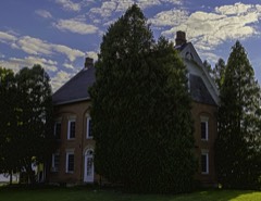
Xlocally Applicable National Register Criteria Areas of Significance (enter categories from instructions) Period of Significance Cultural Affiliation Significant Person Hulburt, Halsey State significance of property, and justify criteria, criteria considerations, and areas and periods of significance noted above. as a distinctive example of Greek Revival architecture. Halsey Hulburt came to Medina County from Enfield, Connecticut in 1830. He built his "marshaled his forces on the side of the oppressed, and was outspoken and bold in of the seven in Medina County who voted for James Birney, the first presidential candidate sources, including the memoirs of Hulburt's daughter, Mary Hulburt Malteson, that document his involvement in the Underground Railroad.
Wilbur Siebert, in The Underground Halsey Hulburt has sheltered a few fugitive slaves... it never was a 'regular station' on held a variety of township offices and in 1856 was elected to the position of director of the Ohio Farmers' Insurance Company, which he held until 1866. He also helped promote local literary and debating societies.
[X See continuation sheet 1835-1860 Architecture Unknown Architect/Builder The Halsey Hulburt House is significant under Criterion B for its association with Halsey Significant Dates Party for state representative.He also donated an annual scholarship to Oberlin College, Social History pediment front gable, wide plain friezes, doors with entablatures, rear cornice returns, in the Hulburt family until 1976 when it was bought by the present owners.Over the years Railroad:From Slavery to Freedom,1ists Hulburt as one of the three conductors in 1859 when fleeing slaves took shelter in Hulburt's home.
History of Western Reserve, that in the early years of the slavery question Hulbert of liberty; and yet it had its visitors." He cites specific examples in 1843, 1850 and Apart from his abolitionist activities, Hulburt was prominent in the Medina community.
Quoted from the National Register nomination
for reference 88002747, 17 pages, held by the National Archives in Record
Group 79. See the
catalogue record.
Listed places nearby
5 within 8 miles
Other National Register properties close
enough to walk or drive between, ordered by distance from this one. Both
positions come from the same geocoding pass that matched these properties
to their map sheets.
Listing record. National Park Service National Register of Historic Places, listed-properties dataset, current to 2026-05-22.
Map join. Address geocoded through the United States Census geocoder, then tested against the published boundary of every sheet in the USGS Historical Topographic Map Collection.
How this page is made. Listing fields come from federal records; map-sheet coverage is a labelled coordinate-to-boundary calculation, not a source-field claim.
Specimens. Global Biodiversity Information Facility (GBIF), https://www.gbif.org/. Only records licensed CC0 or CC BY are used. Records licensed CC BY-NC are excluded because this site carries advertising. Images are checked individually and any whose licence is non-commercial, no-derivatives or unreadable is refused.
Mines and quarries. USGS Mineral Resources Data System (MRDS) https://mrdata.usgs.gov/mrds/ A work of the United States government, no copyright under 17 U.S.C. 105.
Storms. NOAA National Centers for Environmental Information, Storm Events Database https://www.ncei.noaa.gov/stormevents/ A work of the United States government, no copyright under 17 U.S.C. 105. Narratives are quoted verbatim from the National Weather Service report and are not edited or summarised.
 Block
Block