Listed on the National Register of Historic Places in
1976. A historic map-sheet match is not published yet. The record needs a coordinate-quality review before it can be joined to a sheet boundary.
From the record
one of 27 National Register listings in Medina County · listed in 1976 · category: Building.
National Register reference number.76001489- the number the National Park Service assigned this property when it was listed, and the key its nomination file is catalogued under at the National Archives.
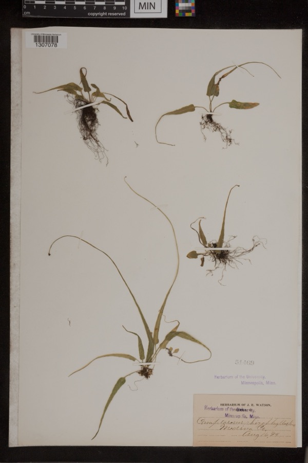
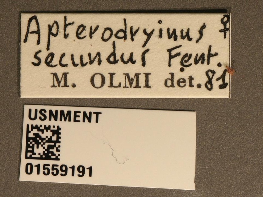
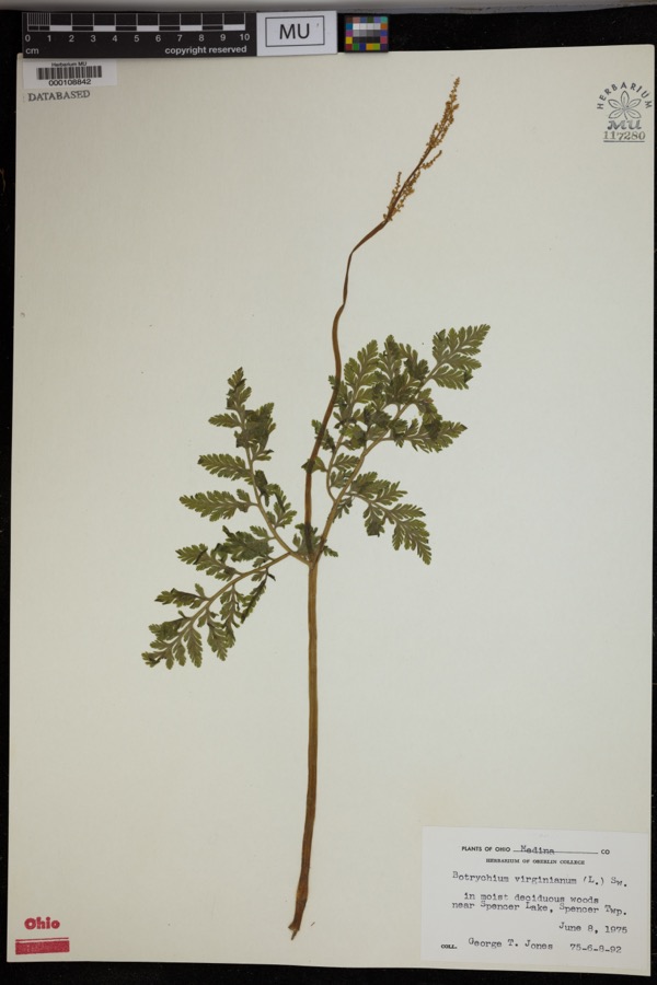
Specimens collected near this property
12 of 273 shown
Regional context, not property-specific
evidence. Museums hold 273 specimens
collected within 10 miles of Burr, George, House between 1888 and
1975: 262 Animalia, 8 Plantae, 2 Fungi, 1 Protozoa. 12 distinct Species records are shown.
Collected by A. Roberts, BJ Zahuranec & party, Bosler and others. Each is a
physical object with a catalogue
number, and each entry opens the museum's record. This is what was
collected and kept, not a survey of what lives here - nothing can be
concluded from a species being absent.
Regional context, not property-specific
evidence. The federal mineral resources record lists
10 workings within 5 miles of Burr, George, House: 8 past producers, 1 plant, 1 producer.
2 still produce. What was taken out: Sand and Gravel, Construction. Distance is straight-line from the
map coordinates, so a quarry counted here may appear on a neighbouring
settlement's page as well.
Regional context, not property-specific
evidence. The National Weather Service names
Lodi, the town this property stands in, in 32 storm reports between 1994 and 2025: 16 thunderstorm wind, 12 hail, 2 tornado, 1 lightning.
No death or injury is recorded in these reports. Each account below is quoted exactly as the forecast office
filed it, from the NOAA Storm Events Database, and each date
opens the federal record of that event.
Numerous roads were inundated and closed in and around downtown Lodi due to excessive runoff from heavy rainfall. Reports of numerous basements flooded, with some reports of vehicle damage as well.
A storm survey revealed that an EF1 tornado touched down on a farm about two miles north of Lodi, just north of U.S. Route 224. Three barns were destroyed by the tornado. As many as 100 dairy cows were trapped in a barn that collapsed and had to be rescued from the debris. Some of the animals were killed or had to be put down because the injuries were so severe. Dozens of trees were damaged along the damage path which was about a mile in length and no more than 50 yards in width.
A tornado touched down briefly in Lodi doing some structural damage. Roofs and siding were torn off of several homes with dozens of trees also downed. An amateur radio tower was knocked and the metal roofing of a local business was peeled off. Many trees were downed in the front yard of the local elementary school.
No historic map-sheet match is published
for this property yet. That does not mean no map exists. This record needs
a coordinate-quality review before it can be joined to a sheet boundary.
Browse the county's mapped places while that work is
pending.
From the nomination file
1,742 words on record
When this property was proposed for the
National Register, someone wrote the case for it: what the building is,
and why it matters. That document is a federal record in the public domain.
It is quoted below word for word, never summarised. The text was read off the scanned case file by machine, so the
occasional stray character is the recogniser's and the 1970s
typewriter's.
Description of the property
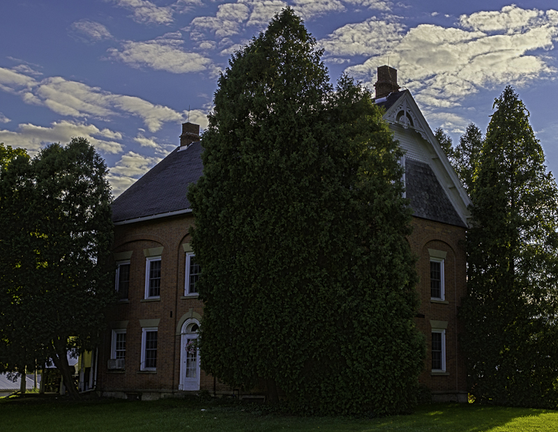
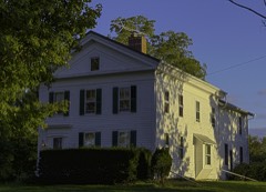
and the north end are identical, with an elliptical fanlight under a early shallow roof and had a Doric frieze with triglyphs, plus an CONDITION UNEXPOSED EXCELLENT UNALTERED DETERIORATED RUINS XALTERED FAIR six-over-six pane double-hung sash.The entrances on the east front roof appear to be from the original structure. CHECK ONE narrow round arch.The same pattern appears on the ends. The windows themselves have rare keystone lintels of sandstone, and These are framed by blind arcades making three major bays on each side.On the long sides, the two outermost ranks of windows are stone arch with a prominent keystone. At the south end of the house elliptical fanlight in the pediment.These elements were removed are five window openings on the side elevations and three on the ends.
grouped by a wide elliptical arch, and the center entrance by a XORIGINAL SITE exactly as it does today.in an 1874 lithographic illustration. The illustration also shows the original roof.It was a typical is a small frame wing with a porch on its east side. It appears by the wooden gable ornament in the Eastlake or Queen Anne idiom. when the present tall attic roof was added in the 1880s, as indicated This isa substantial brick house of the Federal period altered in the late nineteenth century by the addition of an attic roof. There DATE The lower portions of the brick chimneys protruding through the AREAS OF
Statement of significance
spirit, not being too bound by tradition to modernize. brother Russell, who came from Litchfield County, Connecticut. and 1870, and the house was owned by George Burr, Jr. (born in 1850), when the roof was altered. 1500-1599 1700-1799 1400-1499 1600-1699 ART INVENTION ECONOMICS LAW SCIENCE EDUCATION PERIOD 1900- RELIGION AGRICULTURE PHILOSOPHY ARCHEOLOGY-HISTORIC BUILDER/ARCHITECT THEATER MILITARY SIGNIFICANCE SCULPTURE ARCHEOLOGY-PREHISTORIC LITERATURE INDUSTRY XARCHITECTURE _TRANSPORTATION roof and its family history. Brick houses of that period having blind arcades are rare in northern Ohio, and this one is unique because of its altered _COMMUNICATIONS Mehitable Burr was the first white child born in the township.
indicates that the second generation of the family had the same pioneer _POLITICS/GOVERNMENT year Harris was joined by George Burr, his wife Mehitable and his HHarrisville Township is one of those located on the geographical architecture suggests a conjectural date no later than l830, when Burr was forty-two years old. George Burr died between 1860 "divide' between the Ohio River and Lake Erie.It was first settled but the date of Burr's house is undocumented.The style of the The next settlers arrived in 18l4. In 18l5 the daughter of George and Harris replaced his first cabin with a modern structure' in 1824, in the war with England. They returned to Harrisville in October. During the summer of 18l2 they returned briefly to Randolph in -COMMERCE -MUSIC by the second settler of the township.
Furthermore, its alteration in 1810 by Joseph Harris, for whom the township is named. The next northern Ohio. It is also of great local significance, having been built Portage County, not knowing whether the Indians would be friendly five families settled there.The county history mentions that Joseph XEXPLORATION/SETTLEMENT This is.an early house of unique architectural distinction in The township was organized in 1817.By 1818there were thirty-
Quoted from the National Register nomination
for reference 76001489, 14 pages, held by the National Archives in Record
Group 79. See the
catalogue record.
Listed places nearby
6 within 8 miles
Other National Register properties close
enough to walk or drive between, ordered by distance from this one. Both
positions come from the same geocoding pass that matched these properties
to their map sheets.
Listing record. National Park Service National Register of Historic Places, listed-properties dataset, current to 2026-05-22.
Map join. Address geocoded through the United States Census geocoder, then tested against the published boundary of every sheet in the USGS Historical Topographic Map Collection.
How this page is made. Listing fields come from federal records; map-sheet coverage is a labelled coordinate-to-boundary calculation, not a source-field claim.
Specimens. Global Biodiversity Information Facility (GBIF), https://www.gbif.org/. Only records licensed CC0 or CC BY are used. Records licensed CC BY-NC are excluded because this site carries advertising. Images are checked individually and any whose licence is non-commercial, no-derivatives or unreadable is refused.
Mines and quarries. USGS Mineral Resources Data System (MRDS) https://mrdata.usgs.gov/mrds/ A work of the United States government, no copyright under 17 U.S.C. 105.
Storms. NOAA National Centers for Environmental Information, Storm Events Database https://www.ncei.noaa.gov/stormevents/ A work of the United States government, no copyright under 17 U.S.C. 105. Narratives are quoted verbatim from the National Weather Service report and are not edited or summarised.
 Block
Block