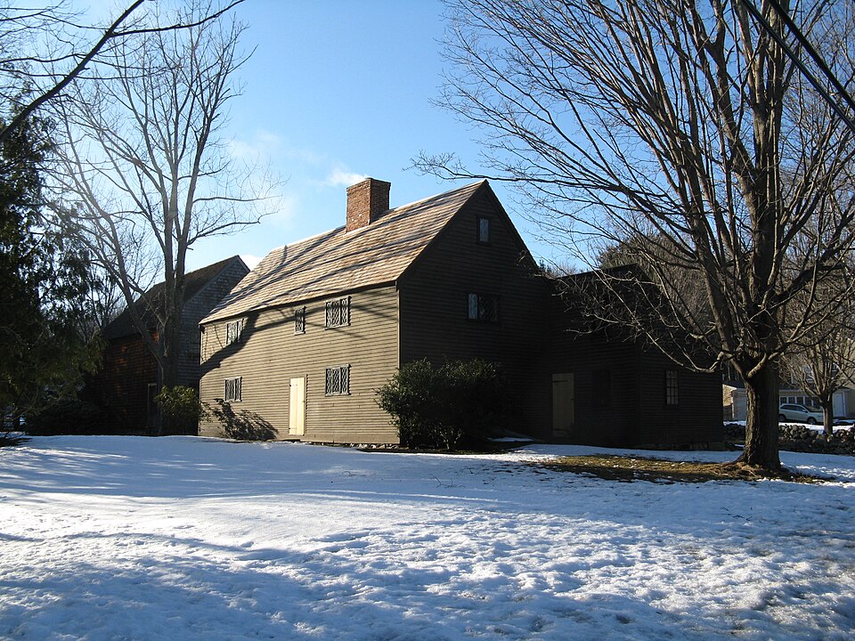
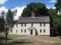
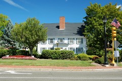
Also known as. First Period Buildings of Eastern Massachusetts TR
Town. Lynnfield town
Architectural style. American colonial architecture
National Register reference number.90000239- the number the National Park Service assigned this property when it was listed, and the key its nomination file is catalogued under at the National Archives.
The early history of Lynnfield is, of course, interwoven with that of Lynn, and their natural features are in a large degree similar. Its woody hills form a part of the extensive range that sweeps up from old Plymouth County, varying in height, but never reaching an altitude that entitles them to the name of mountains. They present irregularities of shape, diversities of soil and modifications of geological construction, and follow the line of the coast at dis- tances varying from half a mile to eight miles from the shore, in many places bearing strong evidence of having once been the boundary of the tide. Anciently, for the whole extent they were well wooded ; but as population increased, the axe in many places laid them bare, and orchards and arable fields began to appear. At intervals the chain now seems much broken, as most portions likely for the present to repay the expense have been reclaimed. Some sections, however, still retain much of their primeval aspect, - a fact eminently true of several of the remoter parts of Lynnfield.
But Lynnfield possesses many attractions for the lover of nature, in her lonely glens and pleasant heights, in her lakelets and busy streams. She has good highways and romantic byways, green meadows and sunny plains. But she has not the ocean views that so charm, and the ocean breezes that so invigorate. Many, however, come hither for temporary homes during the vacation season, and in the quiet enjoyment of rural sights and rural sounds, in the breathing of uncontaminated airs, in the use of fresh and simple food, and in freedom from the restraints of fashionable life, find a medicine that revivifies their jaded energies, and enables them to return to their homes again to enter with zest the accustomed routine.
Regional context, not property-specific
evidence. The
federal wildfire occurrence database
lists 103 fires within 5 miles of Hart House
between 2003 and 2020, burning about 139 acres in total. None started naturally. 2 were recorded as arson.
Distance is straight-line from the map coordinates, so a fire counted
here may appear on a neighbouring settlement's page as well.
Reported cause
Fires
Recreation and ceremony
27
Smoking
20
Debris and open burning
19
Missing data/not specified/undetermined
15
Misuse of fire by a minor
7
Equipment and vehicle use
6
Fireworks
4
Power generation/transmission/distribution
2
Arson/incendiarism
2
Other causes
1
The most recent of
them, most recent first, with the day each was reported and the service
that recorded it.
Regional context, not property-specific
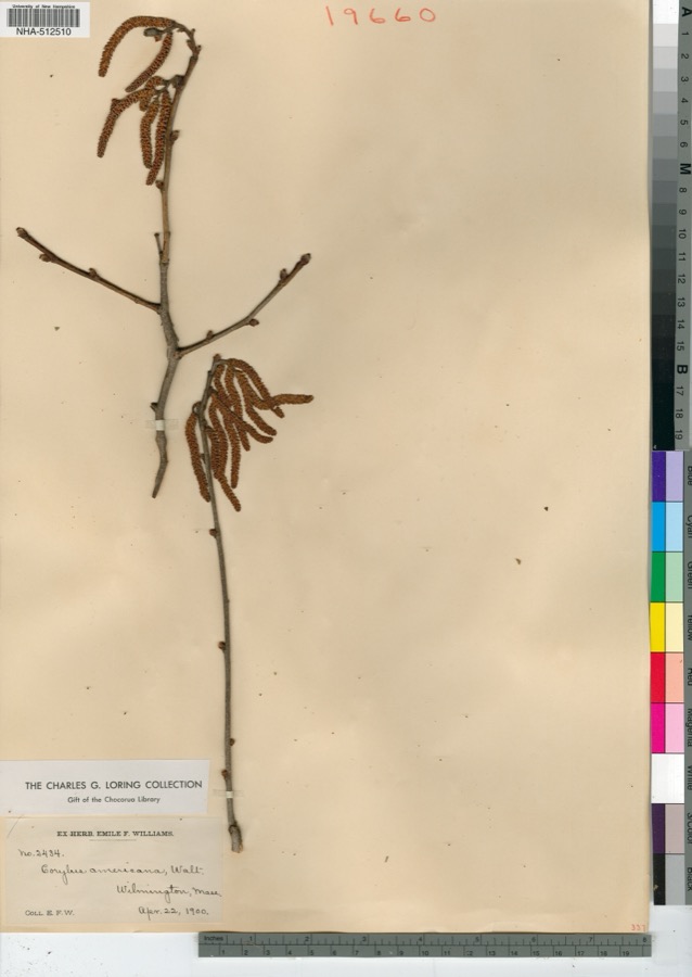
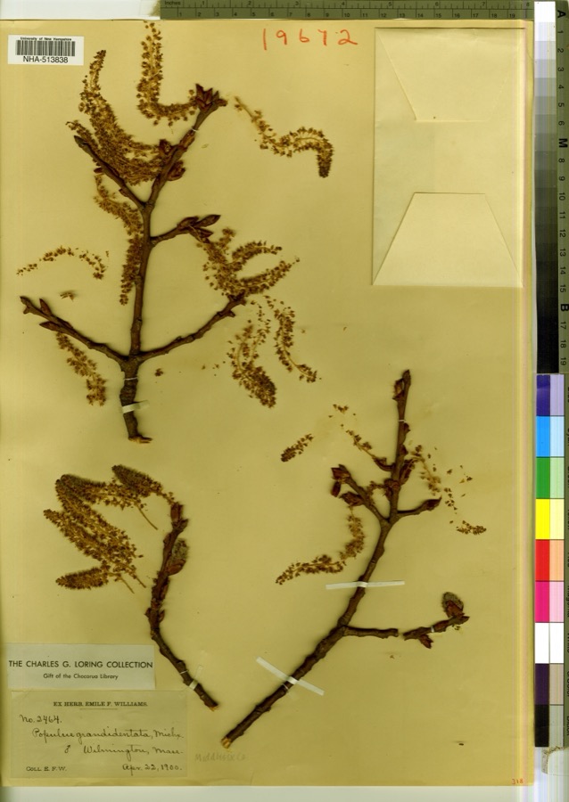
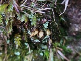
evidence. Museums hold 9,568 specimens
collected within 10 miles of Hart House between 1800 and 1975: 4,545 Plantae, 3,050 Animalia, 1,230 Fungi, 367 Chromista, 265 Bacteria, 94 Unrecorded, 17 Protozoa.
12 distinct Species records are shown.
Collected by ?, A B. Proper, A E Preble and others. Each is a
physical object with a catalogue
number, and each entry opens the museum's record. This is what was
collected and kept, not a survey of what lives here - nothing can be
concluded from a species being absent.
Regional context, not property-specific
evidence. The federal mineral resources record lists
23 workings within 5 miles of Hart House: 13 past producers, 7 producers, 1 occurrence, 1 unknown.
8 still produce. What was taken out: Sand and Gravel, Construction, Stone, Crushed/Broken, Iron, Titanium, Metal. Distance is straight-line from the
map coordinates, so a quarry counted here may appear on a neighbouring
settlement's page as well.
Regional context, not property-specific
evidence. The National Weather Service names
Lynnfield, the town this property stands in, in 13 storm reports between 1998 and 2023: 6 thunderstorm wind, 2 flash flood, 2 lightning, 2 flood.
No death or injury is recorded in these reports. Each account below is quoted exactly as the forecast office
filed it, from the NOAA Storm Events Database, and each date
opens the federal record of that event.
An apartment copmlex on Dearborn Road caught fire after being struck by lightning. A firefighter fighting the fire suffered minor injuries (indirect) after a ceiling collapsed on him.
At approximately 8 PM EST in Wakefield, MA a Lakeview Avenue home was struck by lightning. One small area of vinyl siding and some insulation were burned. Quick action by the homeowner, neighbors, and the Fire Department prevented more serious damage.
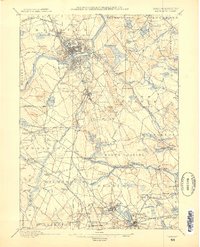
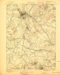
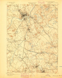
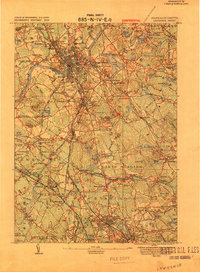
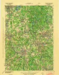
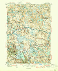
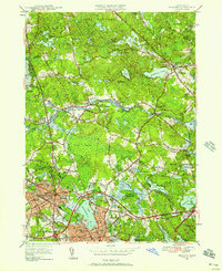
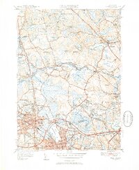
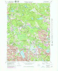
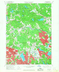
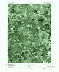
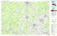
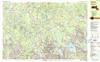
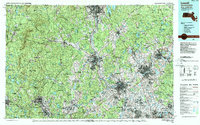
United States Geological Survey topographic
sheets whose coverage includes this point. Matched by taking the coordinate the National Park Service records for this property, then
testing that coordinate against the published boundary of every sheet.
When this property was proposed for the
National Register, someone wrote the case for it: what the building is,
and why it matters. That document is a federal record in the public domain.
It is reproduced in full on its own page, word for word and never summarised. The text was read off the scanned case file by machine, so the
occasional stray character is the recogniser's and the 1970s
typewriter's.
Quoted from the National Register nomination
for reference 90000239, 11 pages, held by the National Archives in Record
Group 79. See the
catalogue record.
Listed places nearby
6 within 8 miles
Other National Register properties close
enough to walk or drive between, ordered by distance from this one. Both
positions come from the same geocoding pass that matched these properties
to their map sheets.
Listing record. National Park Service National Register of Historic Places, listed-properties dataset, current to 2026-05-22.
Map join. Address geocoded through the United States Census geocoder, then tested against the published boundary of every sheet in the USGS Historical Topographic Map Collection.
How this page is made. Listing fields come from federal records; map-sheet coverage is a labelled coordinate-to-boundary calculation, not a source-field claim.
Wildfire. Short, Karen C. 2022. Spatial wildfire occurrence data for the United States, 1992-2020 [FPA_FOD_20221014]. 6th Edition. Fort Collins, CO: Forest Service Research Data Archive. https://doi.org/10.2737/RDS-2013-0009.6 Collected with United States Government funding and usable without additional permissions or fees.
Specimens. Global Biodiversity Information Facility (GBIF), https://www.gbif.org/. Only records licensed CC0 or CC BY are used. Records licensed CC BY-NC are excluded because this site carries advertising. Images are checked individually and any whose licence is non-commercial, no-derivatives or unreadable is refused.
Mines and quarries. USGS Mineral Resources Data System (MRDS) https://mrdata.usgs.gov/mrds/ A work of the United States government, no copyright under 17 U.S.C. 105.
Storms. NOAA National Centers for Environmental Information, Storm Events Database https://www.ncei.noaa.gov/stormevents/ A work of the United States government, no copyright under 17 U.S.C. 105. Narratives are quoted verbatim from the National Weather Service report and are not edited or summarised.
 Block