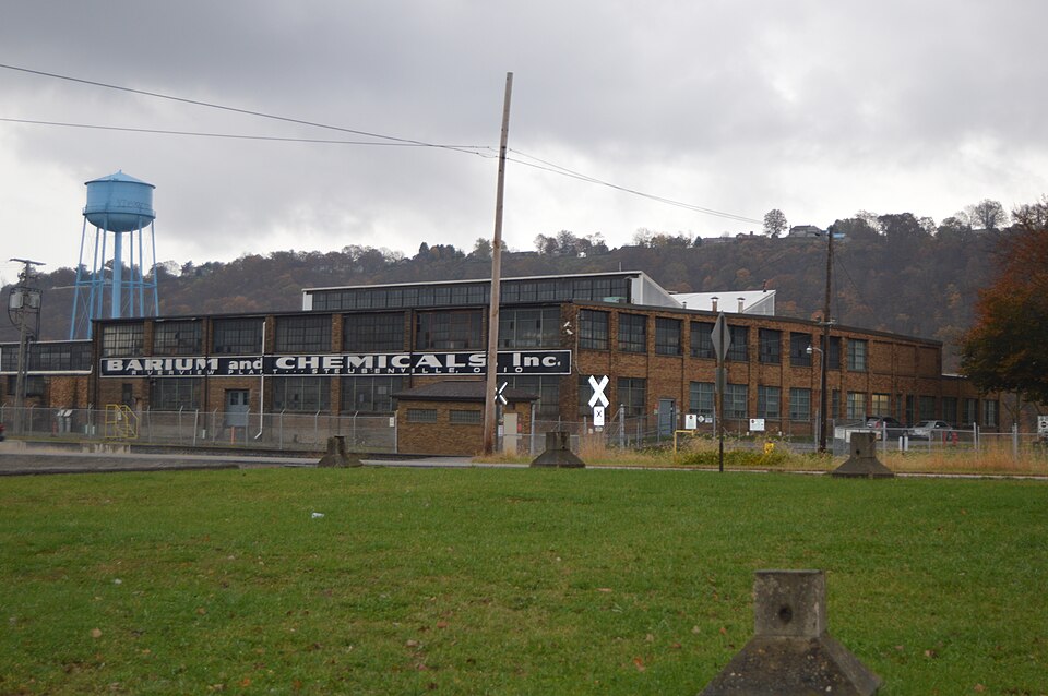
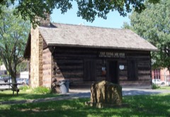
Listed on the National Register of Historic Places in
1995. A historic map-sheet match is not published yet. The record needs a coordinate-quality review before it can be joined to a sheet boundary.
From the record
one of 17 National Register listings in Jefferson County · listed in 1995 · category: Building · one of 1 National Historic Landmarks in Jefferson County.
National Register reference number.92001034- the number the National Park Service assigned this property when it was listed, and the key its nomination file is catalogued under at the National Archives.
Fires near this property
5 since 2010
Regional context, not property-specific
evidence. The
federal wildfire occurrence database
lists 5 fires within 5 miles of Steubenville Pottery Company Buildings between
2010 and 2017, burning about 16 acres in total. None started naturally. None was recorded as arson.
Distance is straight-line from the map coordinates, so a fire counted
here may appear on a neighbouring settlement's page as well.
Reported cause
Fires
Debris and open burning
3
Power generation/transmission/distribution
1
Recreation and ceremony
1
The most recent of
them, most recent first, with the day each was reported and the service
that recorded it.
Regional context, not property-specific
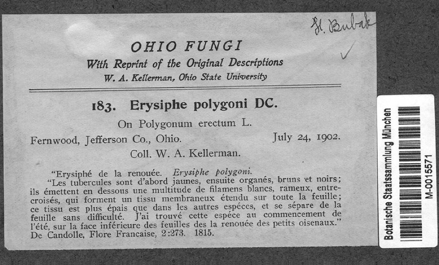
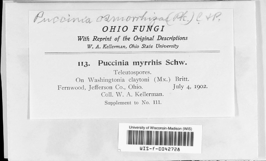
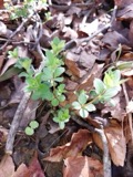
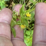
evidence. Museums hold 511 specimens
collected within 10 miles of Steubenville Pottery Company Buildings between 1836 and
1974: 290 Animalia, 181 Plantae, 39 Fungi, 1 Chromista. 12 distinct Species records are shown.
Collected by A. Doolittle, A. W. Cusick, Acker, G. and others. Each is a
physical object with a catalogue
number, and each entry opens the museum's record. This is what was
collected and kept, not a survey of what lives here - nothing can be
concluded from a species being absent.
Regional context, not property-specific
evidence. The federal mineral resources record lists
3 workings within 5 miles of Steubenville Pottery Company Buildings: 1 plant, 1 producer, 1 past producer.
2 still produce. What was taken out: Iron, Chromium, Iron, Clay. Distance is straight-line from the
map coordinates, so a quarry counted here may appear on a neighbouring
settlement's page as well.
Regional context, not property-specific
evidence. The National Weather Service names
Steubenville, the town this property stands in, in 62 storm reports between 1994 and 2025: 46 thunderstorm wind, 13 hail, 1 flash flood, 1 heavy rain.
The reports record 1 injury. Each account below is quoted exactly as the forecast office
filed it, from the NOAA Storm Events Database, and each date
opens the federal record of that event.
1 paper published in this town,
digitised by the Library of Congress and free to read: 0 issues,
0 pages. Every page is searchable, so a name or a street can be
looked for directly in what the town printed about itself at the time.
No historic map-sheet match is published
for this property yet. That does not mean no map exists. This record needs
a coordinate-quality review before it can be joined to a sheet boundary.
Browse the county's mapped places while that work is
pending.
From the nomination file
6,689 words on record
When this property was proposed for the
National Register, someone wrote the case for it: what the building is,
and why it matters. That document is a federal record in the public domain.
It is quoted below word for word, never summarised. The text was read off the scanned case file by machine, so the
occasional stray character is the recogniser's and the 1970s
typewriter's.
Statement of significance
one paragraph) UTMS Date sketch maps USGS maps Steubenville Pottery Company Buildings Jefferson Co., Ohio the industrial heritage of Steubenville, and the associative significance of industrial designer Russell Wright, has not been the manufacturing plant, or did he just sell the design to the developed. SIGNIFICANCE not adequately substantiate claims of significance or evaluate The nomination does not provide sufficient information to There is no discussion in the nomination about the process used The case for local and national significance for association with Is the Steubenville Pottery Co.the most appropriate resource The nomination does not adequately explain the associative historical context for his development as a designer?
What forces this is not sufficient to substantiate the significance of the producing pottery? How does the location of the company relate to Pottery Company? significance of Russell Wright with the Steubenville Pottery Co. The nomination refers to a history published by the city, but What factors contributed to Steubenville's prominence in The nomination states that Russell Wright's "...mass-produced The nomination for the Steubenville Pottery Company Buildings, NATIONAL REGISTER NOMINATION RETURN SHEET the integrity of the pottery works. evaluate the significance of Russell Wright.Where was Russell the city, or its importance as an economic factor. nominated for national significance under criteria A & B, does helped to form his design philosophy? the development of Steubenville?
Who founded the Steubenville the most important industrial cities in the Upper Ohio Valley"? company? Did he live in Steubenville during the period of Wright from? How did he achieve international fame? What is the molded etc.? What other industries played a role in Steubenville as "one of to produce the pottery.How was it produced? Was is household items [were] created by a network of designers and defined for the pottery is 1925-1942.
Quoted from the National Register nomination
for reference 92001034, 63 pages, held by the National Archives in Record
Group 79. See the
catalogue record.
Listed places nearby
6 within 8 miles
Other National Register properties close
enough to walk or drive between, ordered by distance from this one. Both
positions come from the same geocoding pass that matched these properties
to their map sheets.
Listing record. National Park Service National Register of Historic Places, listed-properties dataset, current to 2026-05-22.
Map join. Address geocoded through the United States Census geocoder, then tested against the published boundary of every sheet in the USGS Historical Topographic Map Collection.
How this page is made. Listing fields come from federal records; map-sheet coverage is a labelled coordinate-to-boundary calculation, not a source-field claim.
Wildfire. Short, Karen C. 2022. Spatial wildfire occurrence data for the United States, 1992-2020 [FPA_FOD_20221014]. 6th Edition. Fort Collins, CO: Forest Service Research Data Archive. https://doi.org/10.2737/RDS-2013-0009.6 Collected with United States Government funding and usable without additional permissions or fees.
Specimens. Global Biodiversity Information Facility (GBIF), https://www.gbif.org/. Only records licensed CC0 or CC BY are used. Records licensed CC BY-NC are excluded because this site carries advertising. Images are checked individually and any whose licence is non-commercial, no-derivatives or unreadable is refused.
Mines and quarries. USGS Mineral Resources Data System (MRDS) https://mrdata.usgs.gov/mrds/ A work of the United States government, no copyright under 17 U.S.C. 105.
Storms. NOAA National Centers for Environmental Information, Storm Events Database https://www.ncei.noaa.gov/stormevents/ A work of the United States government, no copyright under 17 U.S.C. 105. Narratives are quoted verbatim from the National Weather Service report and are not edited or summarised.
 Block
Block