 Block
From the record
17 National Register listings published here, 1 of them a National Historic Landmark.
Sources: the National Register database, National Park Service
42 topographic sheets and 9 fire insurance atlases across 1 place.
17 National Register listings published here, 1 of them a National Historic Landmark.
Sources: the National Register database, National Park Service
Taken for the Office of War Information and the Farm Security Administration, who photographed the country between 1935 and 1944. Works of United States government photographers, with no known restriction on use. Each opens its catalogue record.
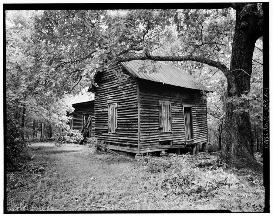
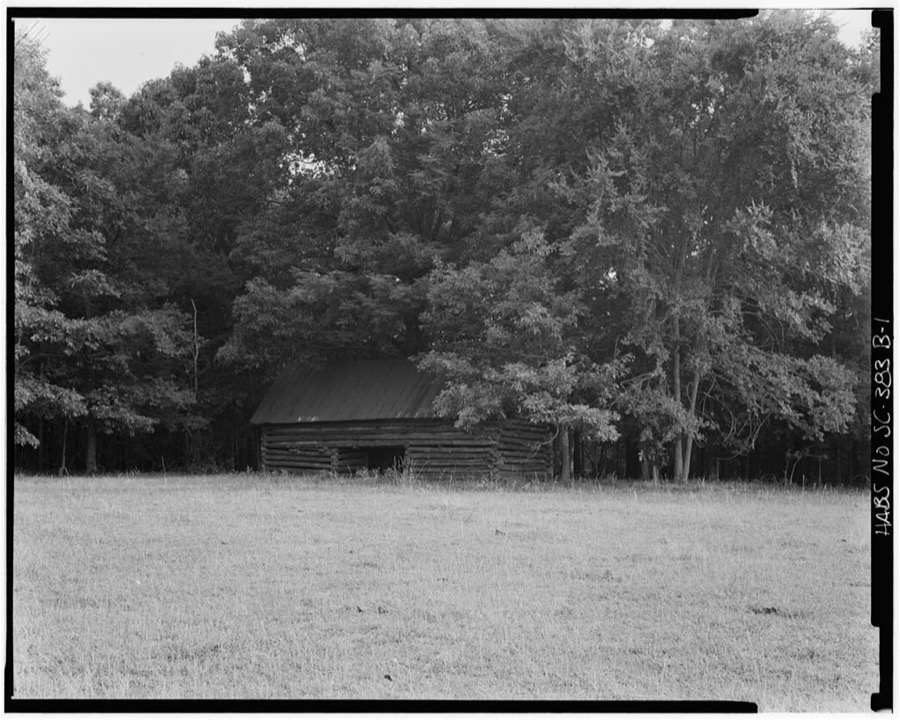
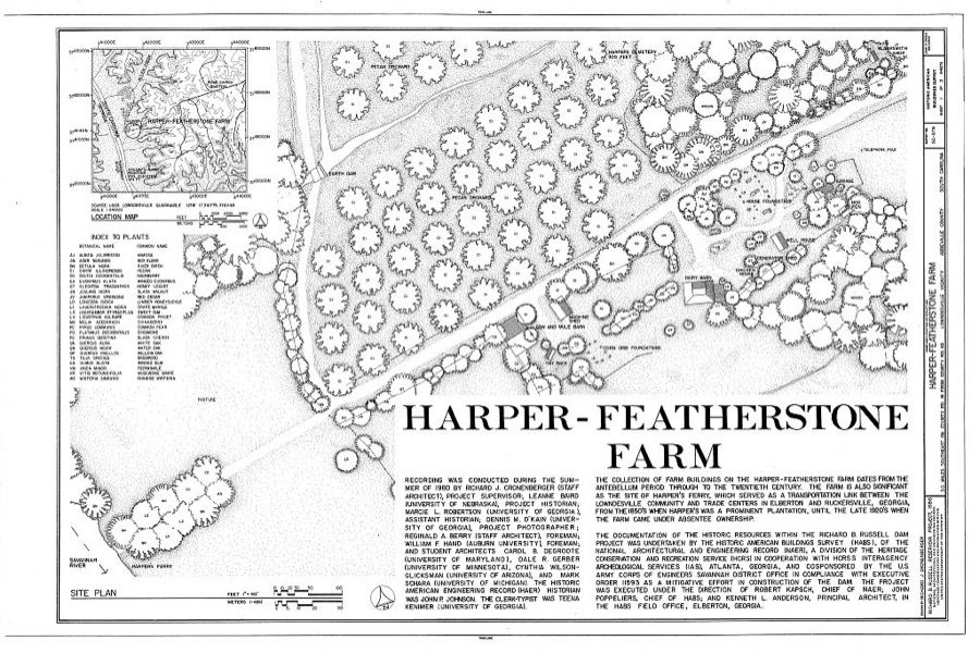
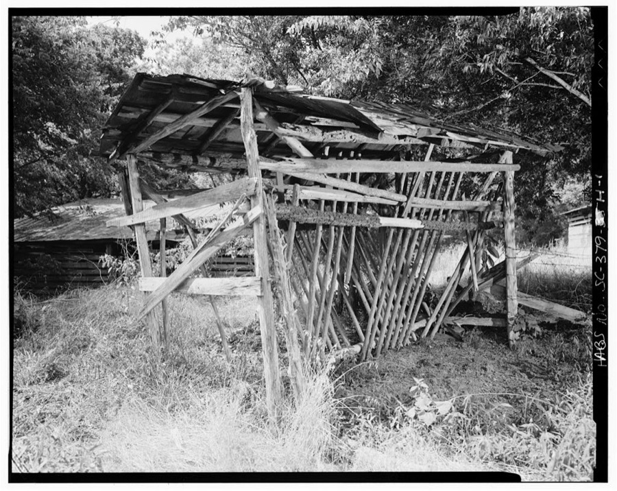
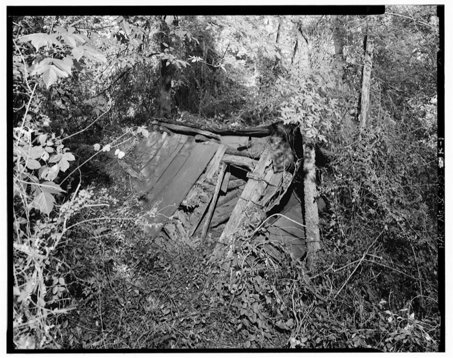
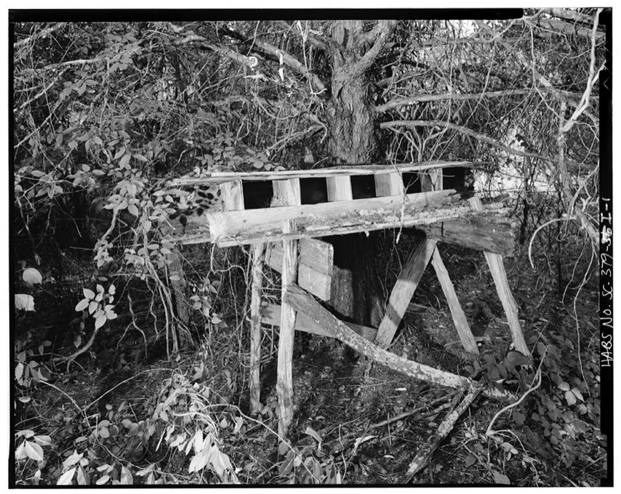

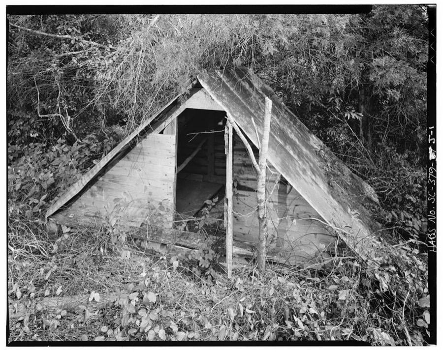
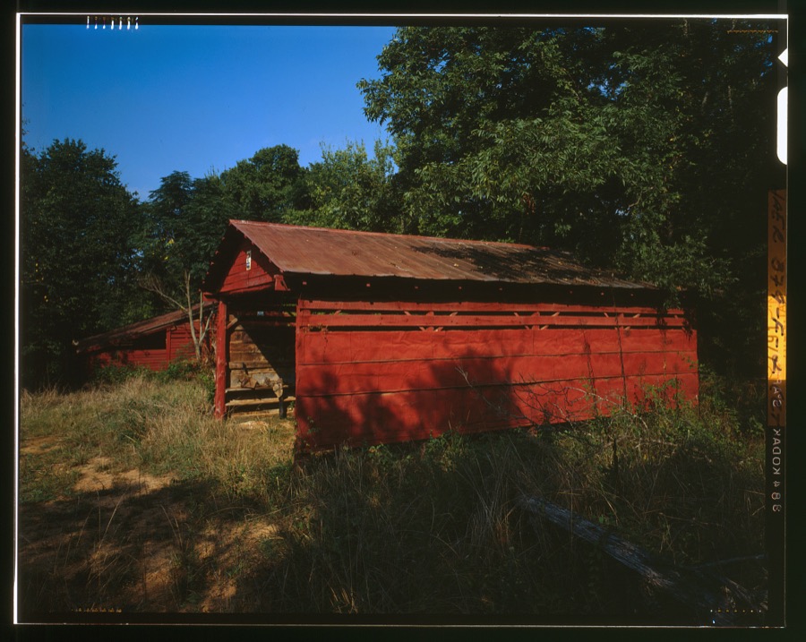
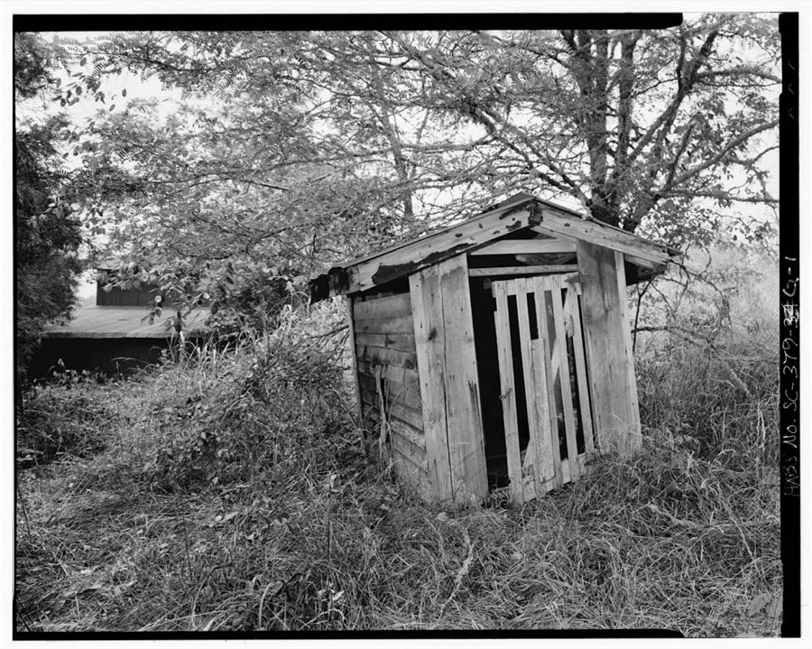
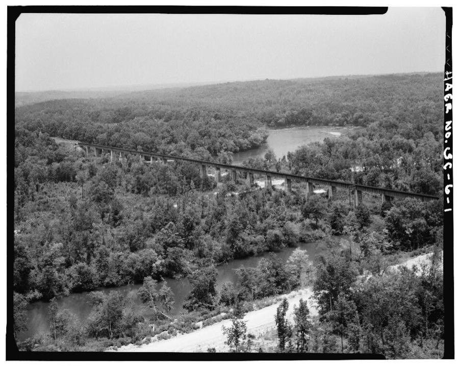
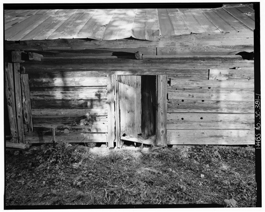
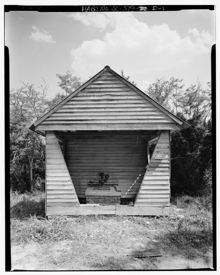
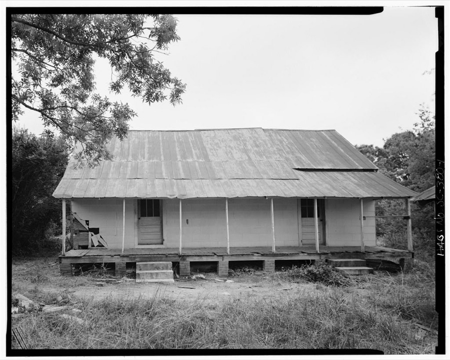
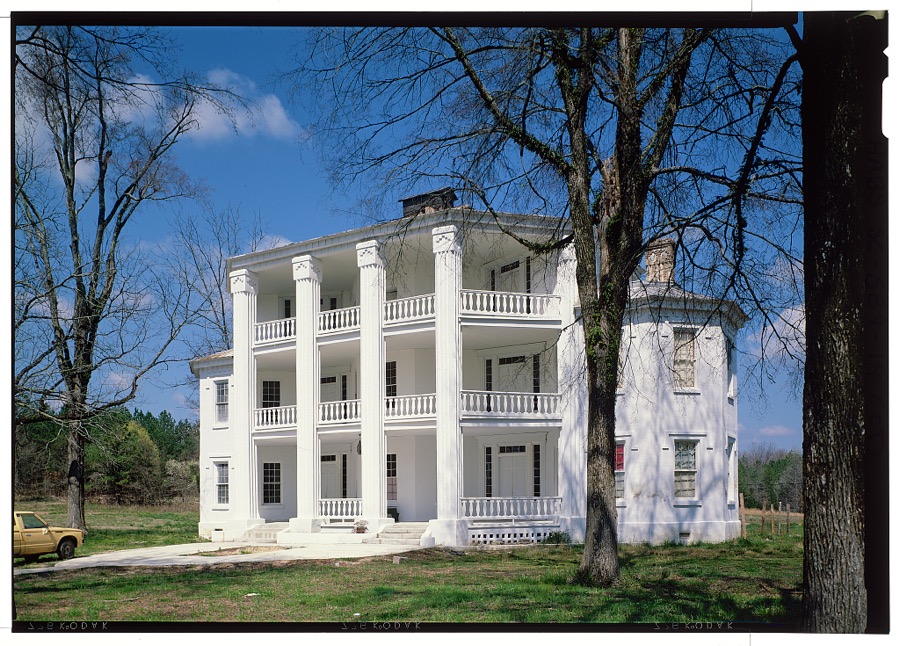
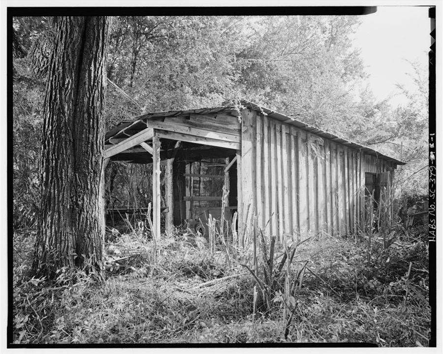
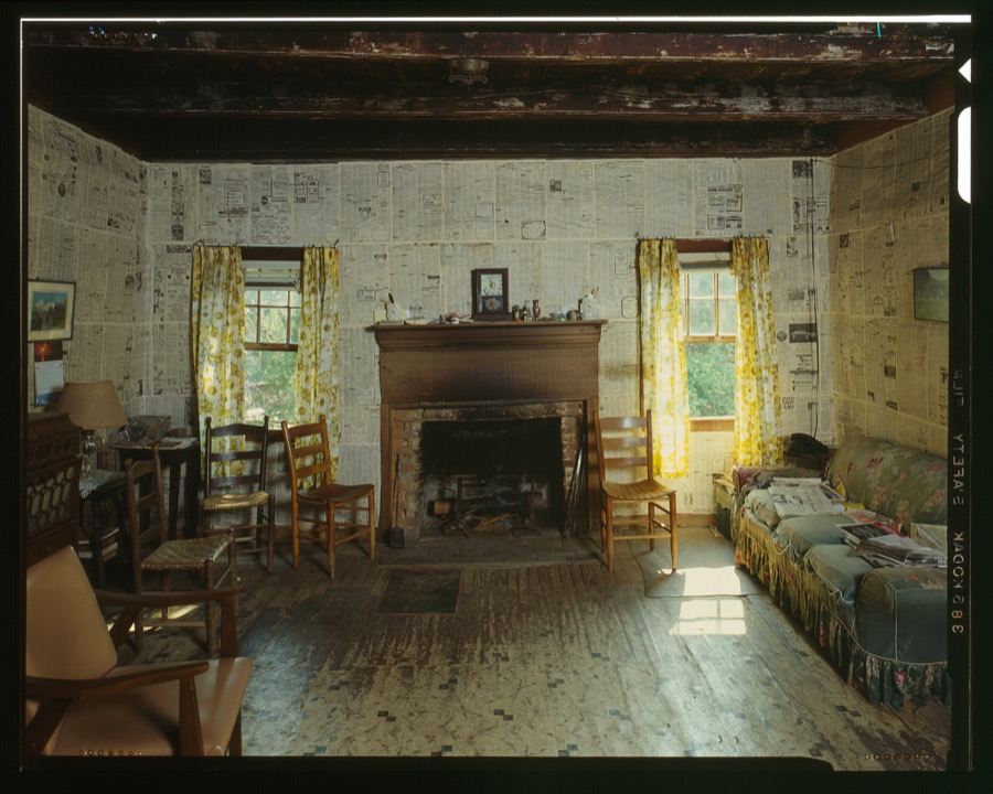
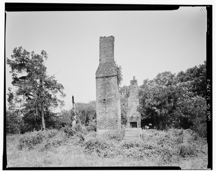
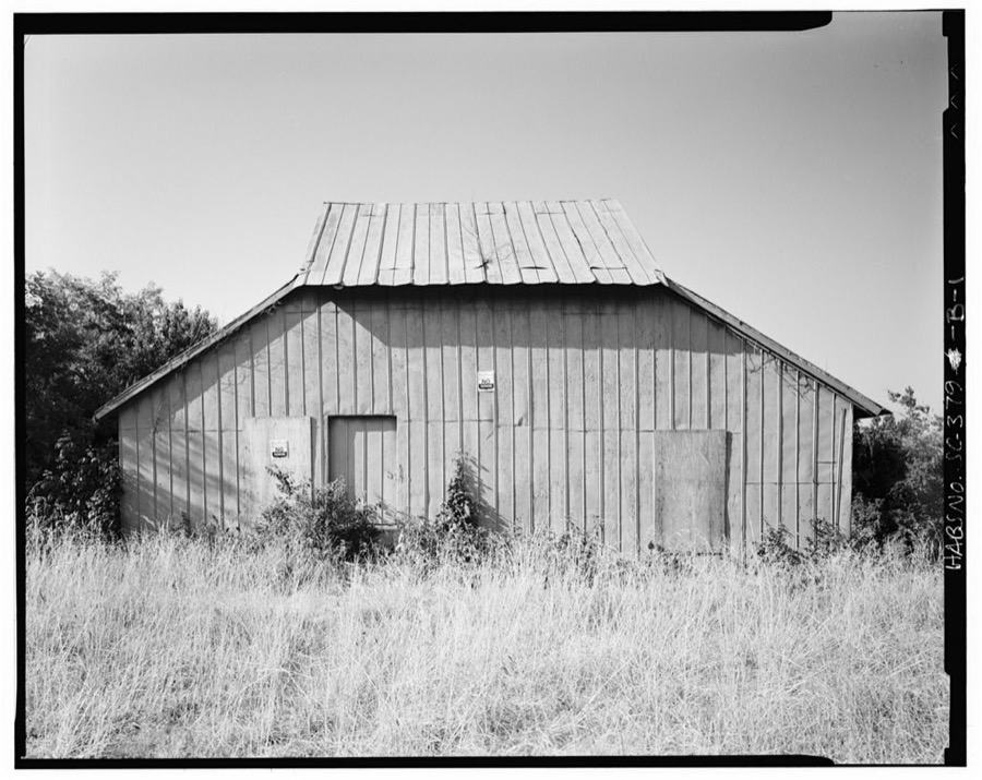
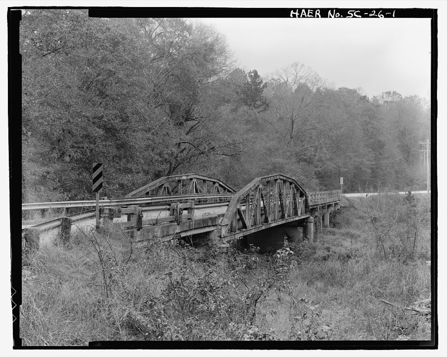
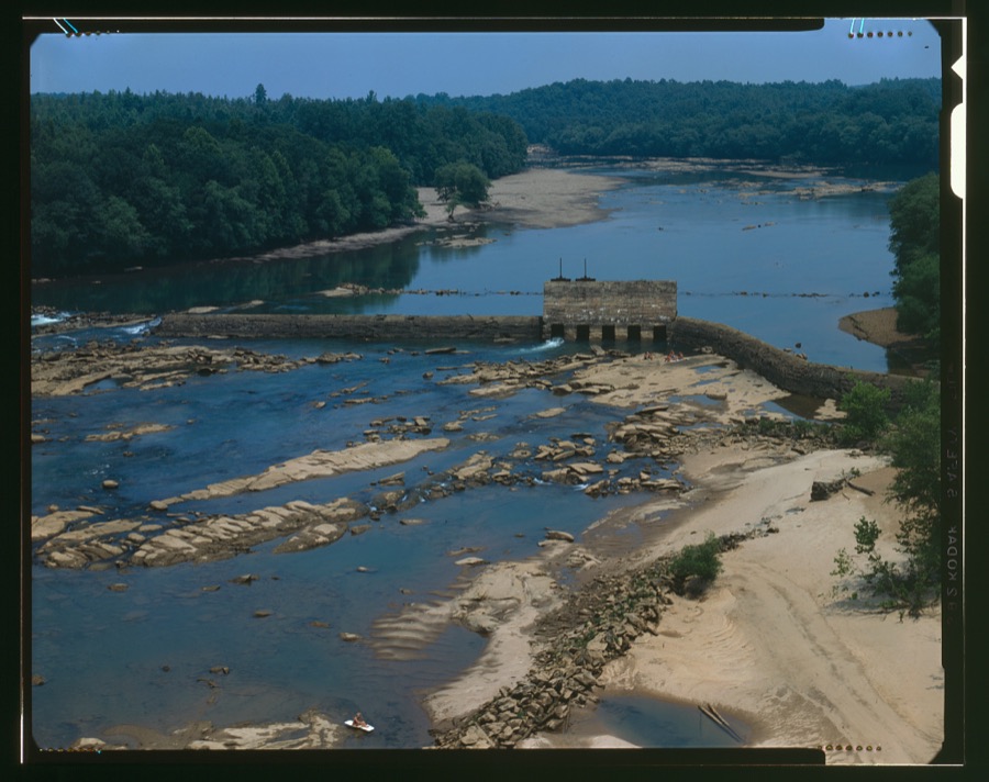
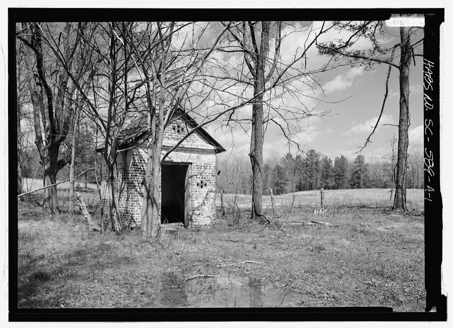
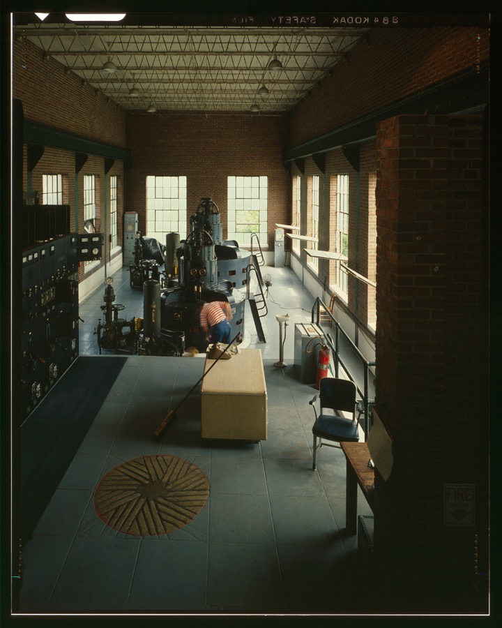
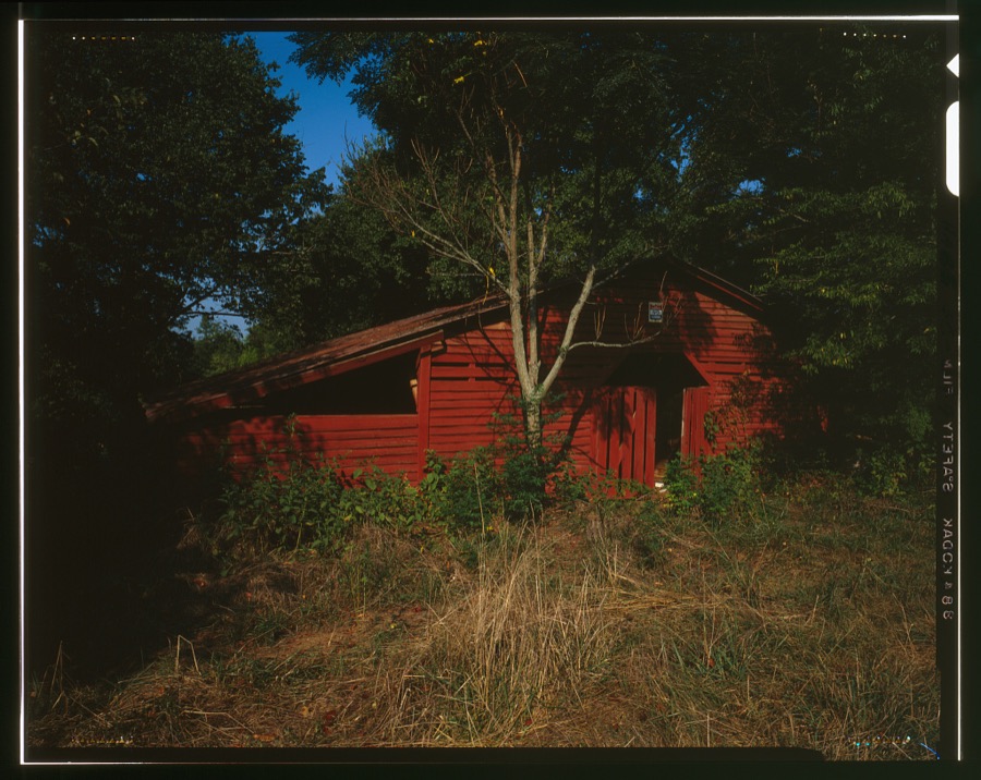
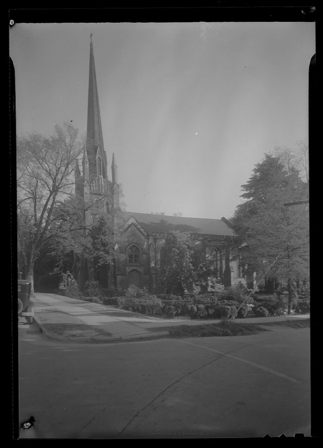
Every property in this county listed on the National Register of Historic Places, with the year it was listed and the federal nomination document.
| Photograph | Property | Type | Listed | Reference |
|---|---|---|---|---|
 | Abbeville County Courthouse | building | 1981 | 81000706 |
| Abbeville County Training School | building | 2022 | 100007749 | |
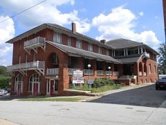 | Abbeville Historic District | district | 1972 | 72001183 |
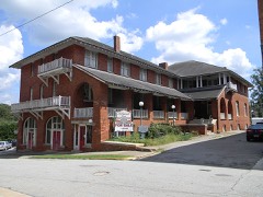 | Abbeville Historic District (Boundary Decrease) | district | 1972 | 72001579 |
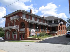 | Abbeville Historic District (Boundary Increase) | district | 1984 | 84002014 |
 | Abbeville Opera House | building | 1970 | 70000558 |
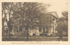 | Armistead Burt House | building | 1970 | 70000559 |
| Patrick Calhoun Family Cemetery | structure | 1975 | 75001684 | |
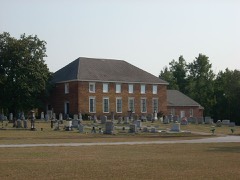 | Cedar Springs Historic District | district | 1982 | 82003824 |
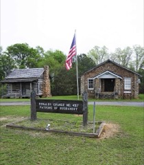 | Donalds Grange No. 497 | building | 1995 | 94001564 |
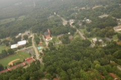 | Erskine College-Due West Historic District | district | 1982 | 82003825 |
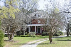 | Harbison College President's Home | building | 1983 | 83002181 |
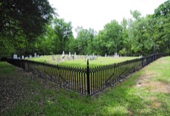 | Lindsay Cemetery | site | 2009 | 09000364 |
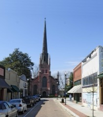 | Trinity Episcopal Church and Cemetery | building | 1971 | 71000738 |
 | Upper Long Cane Cemetery | site | 2010 | 10001039 |
 | Young Place | building | 1974 | 74001818 |
Sampled issues, machine-read from the Library of Congress scan and published page by page, so every headline and column is searchable text.
Abbeville, S.C., 1869 to 1924. Machine-read from the Library of Congress scan.
Abbeville, S.C., 1844 to 1847. Machine-read from the Library of Congress scan.
Abbeville, S.C., 1847 to 1869. Machine-read from the Library of Congress scan.
Abbeville, S.C., 1860 to 1869. Machine-read from the Library of Congress scan.
Abbeville, S.C., 1884 to 1887. Machine-read from the Library of Congress scan.
Abbeville, S.C., 1865. Machine-read from the Library of Congress scan.
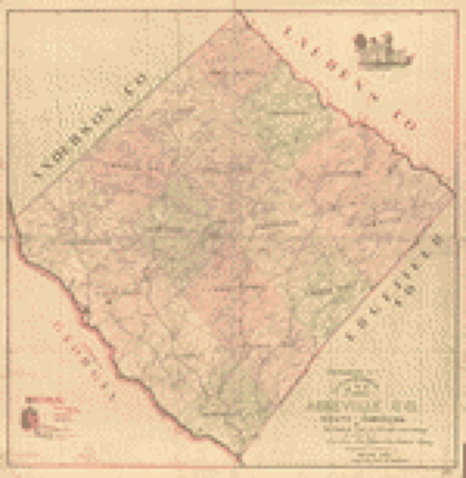
Drawn when these were printed as single large sheets: the town seen from the air, and the county divided into its farms with every owner named. Each opens the original at the Library of Congress.
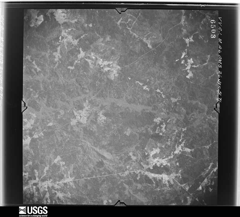
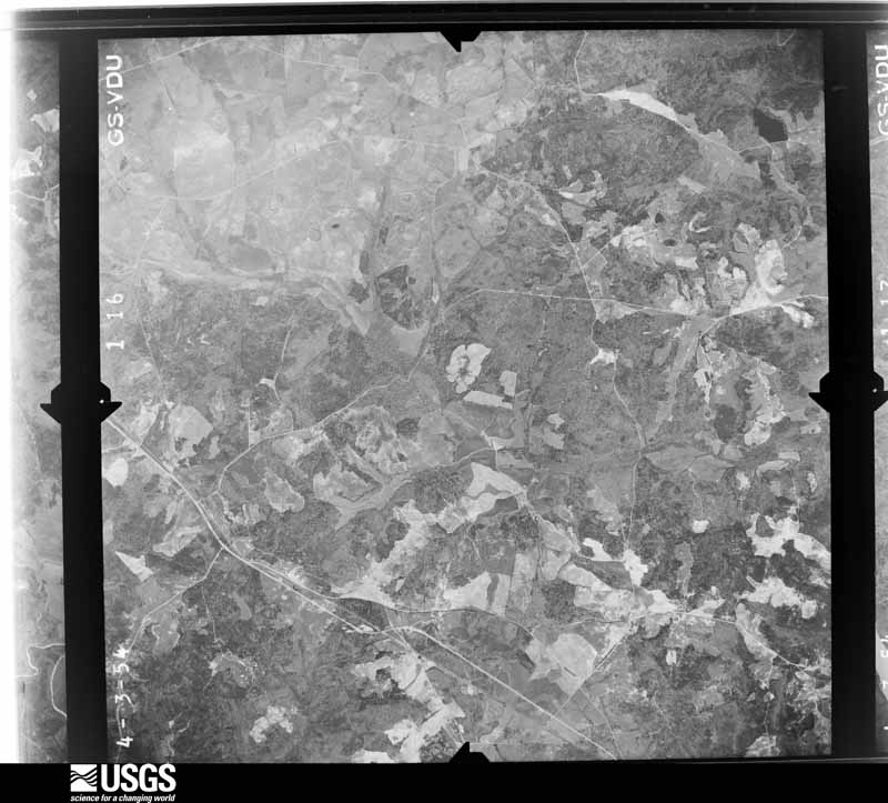
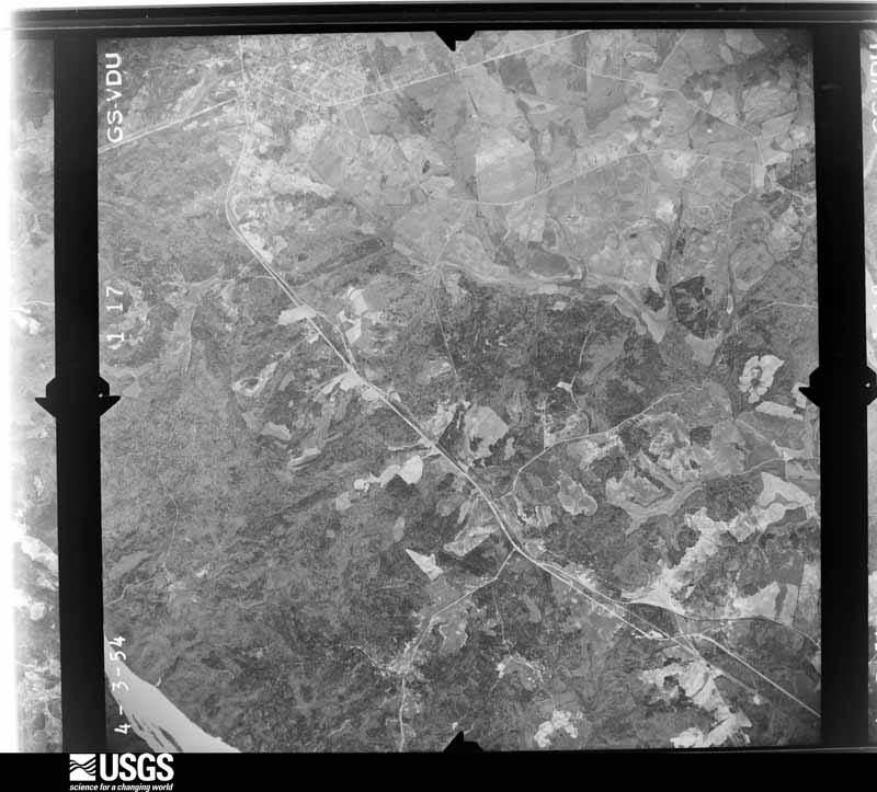
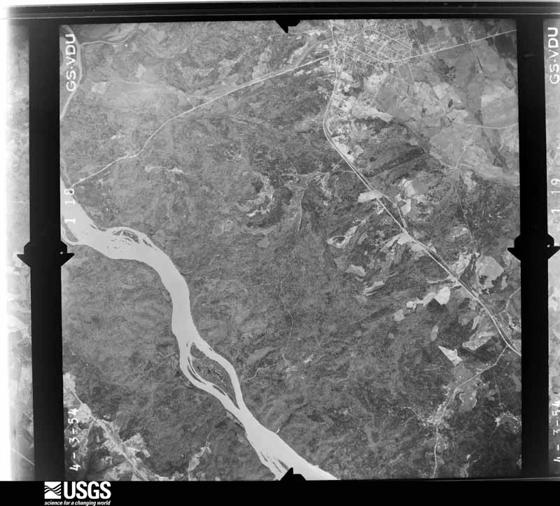
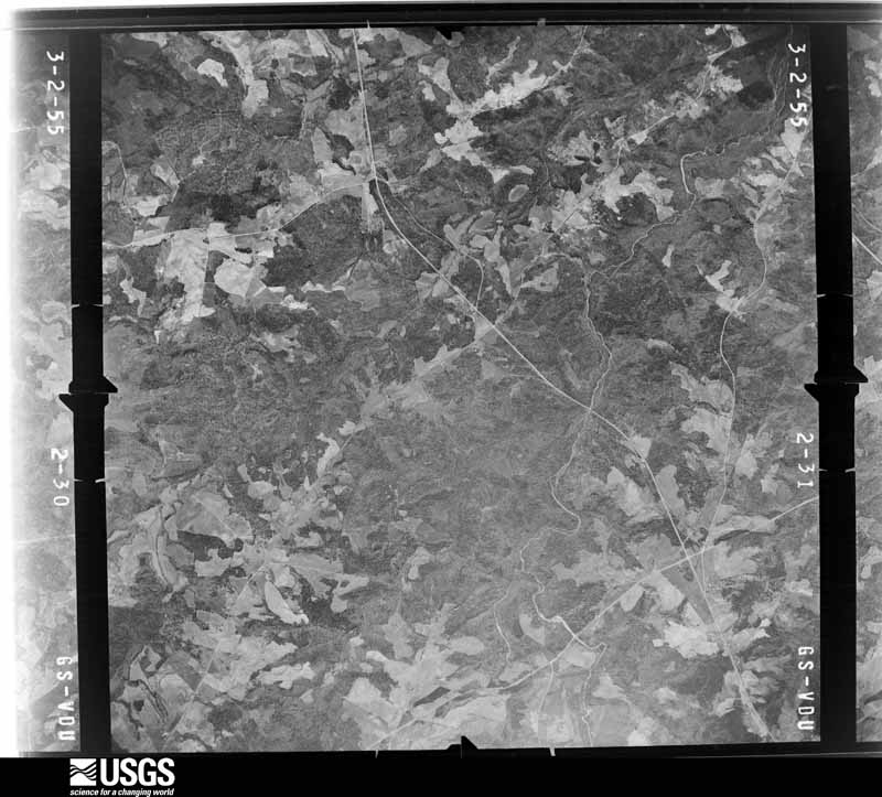
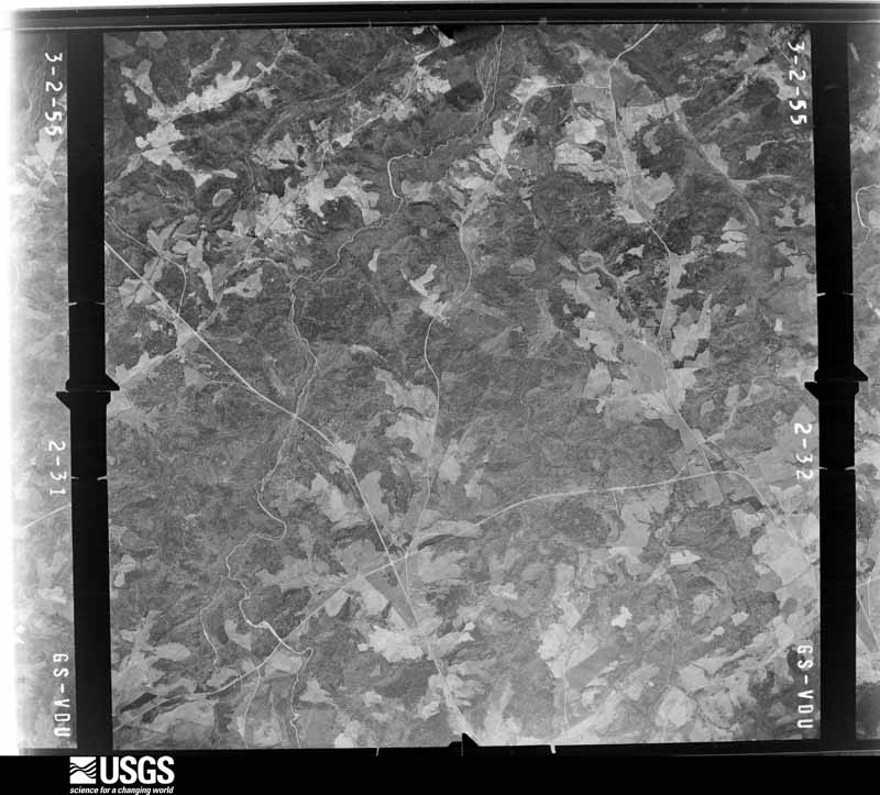
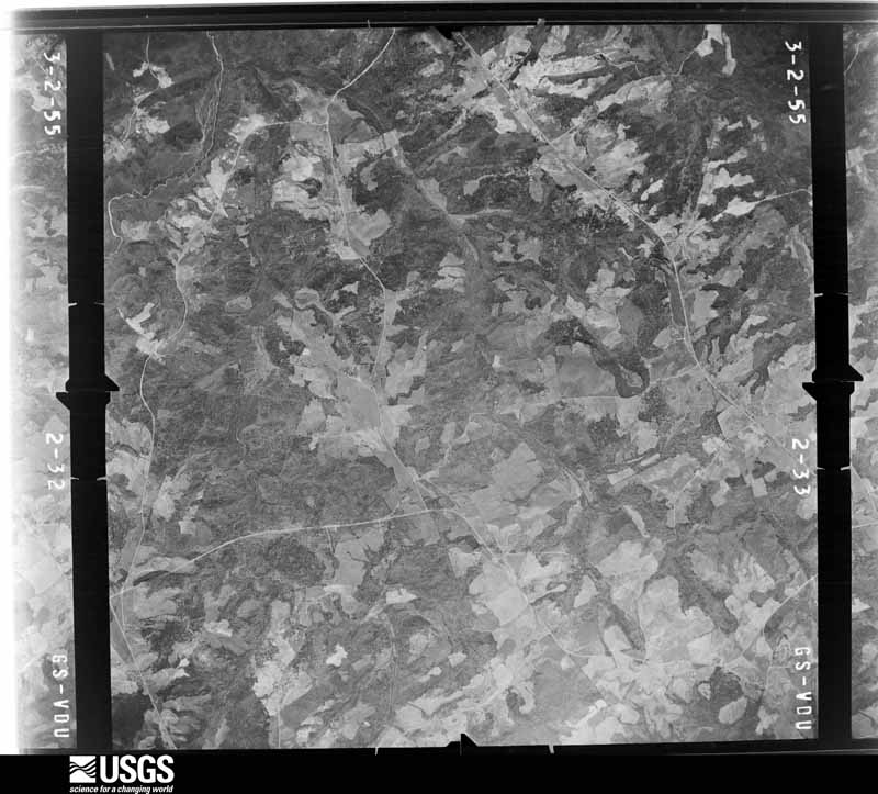
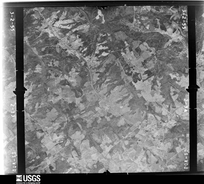
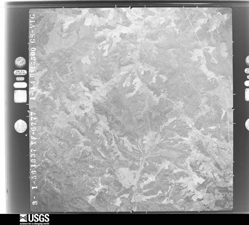
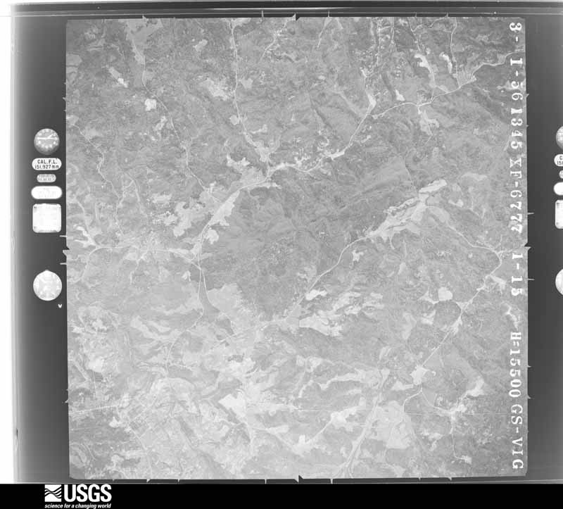
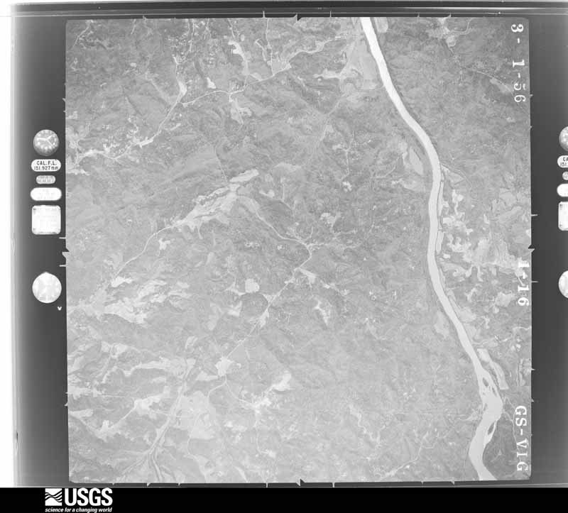
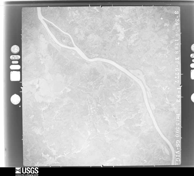
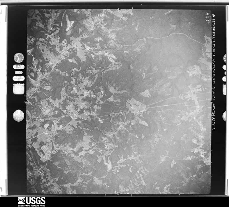
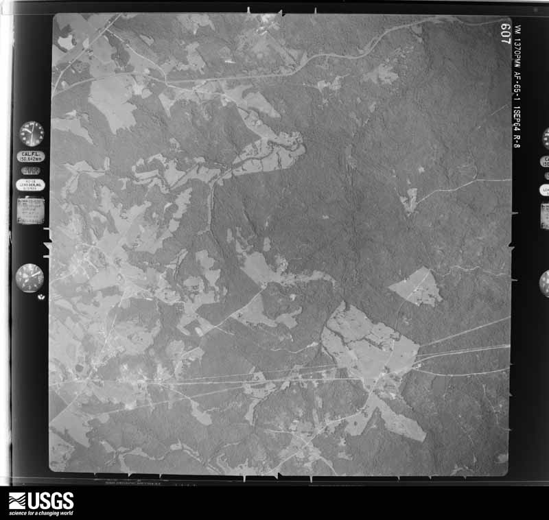
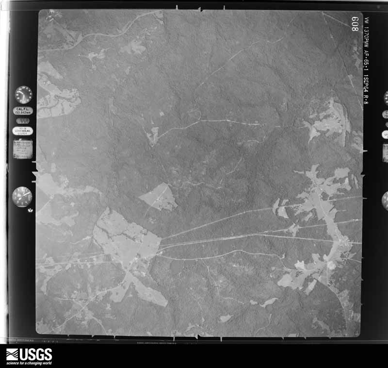
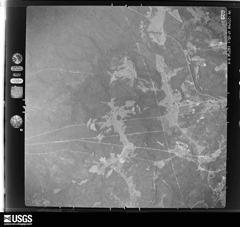
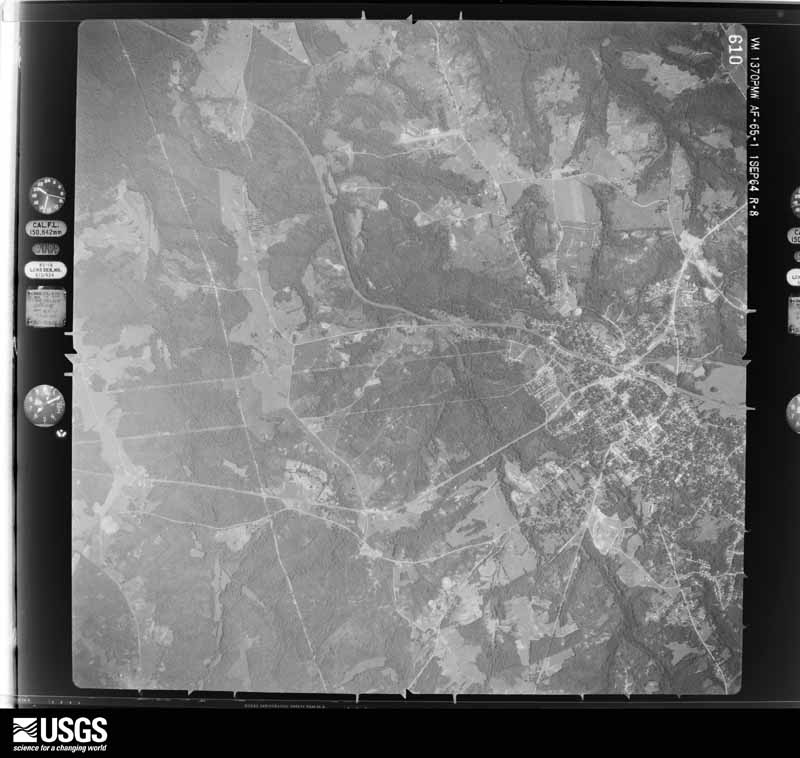
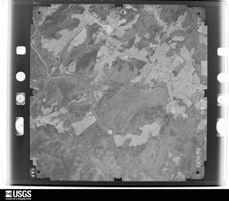
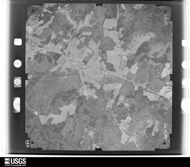
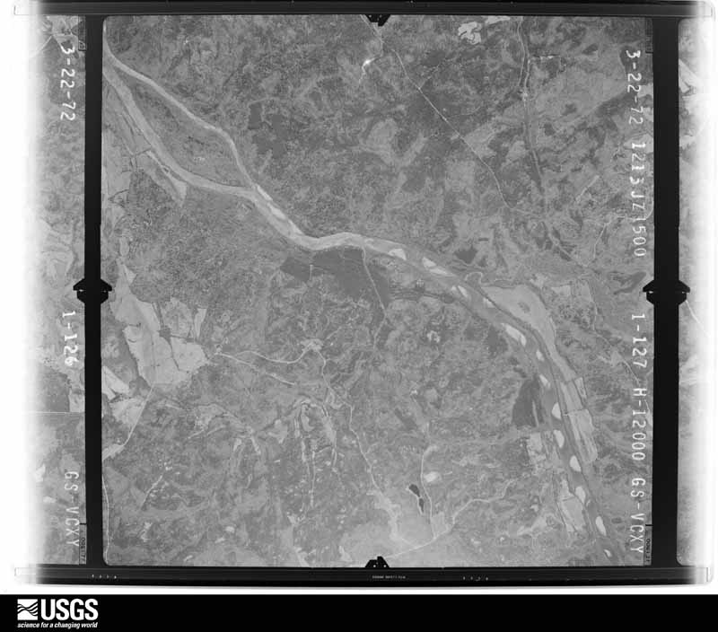
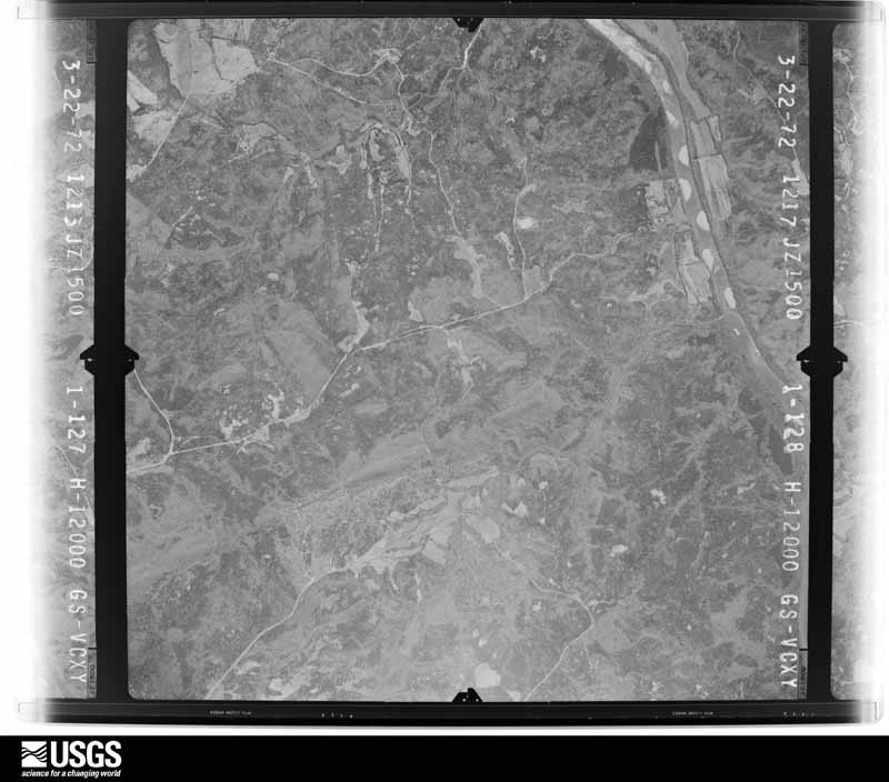
Flown by the U.S. Geological Survey between 1937 and 1989, the Aerial Photo Single Frames collection is the definitive mid-century view of the land: fields, roads and rivers as the camera saw them. The Survey holds 795 frames inside the rectangle that bounds this county; the 36 frames below were taken over the county itself, chosen across the decades of flights (at most four a year from that rectangle), so one flight cannot crowd out the rest. The full set is free to browse and download at EarthExplorer under the dataset Aerial Photo Single Frames.




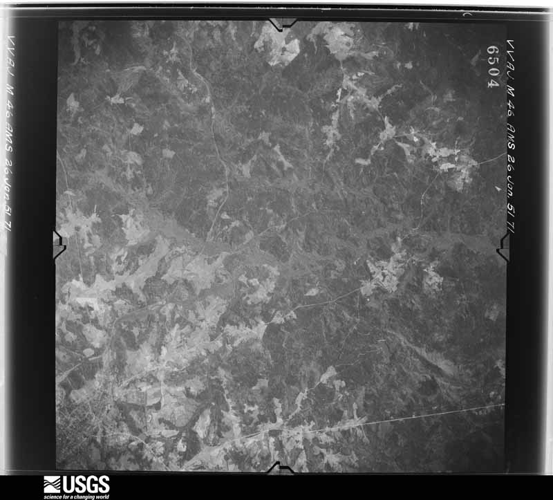
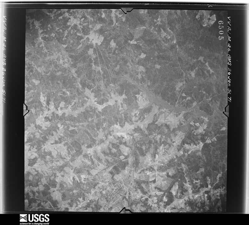
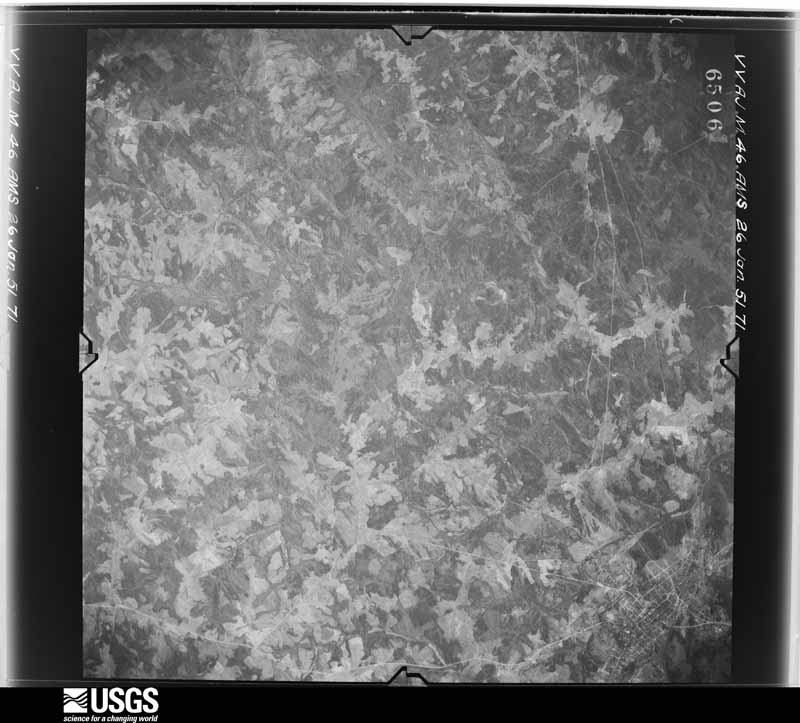
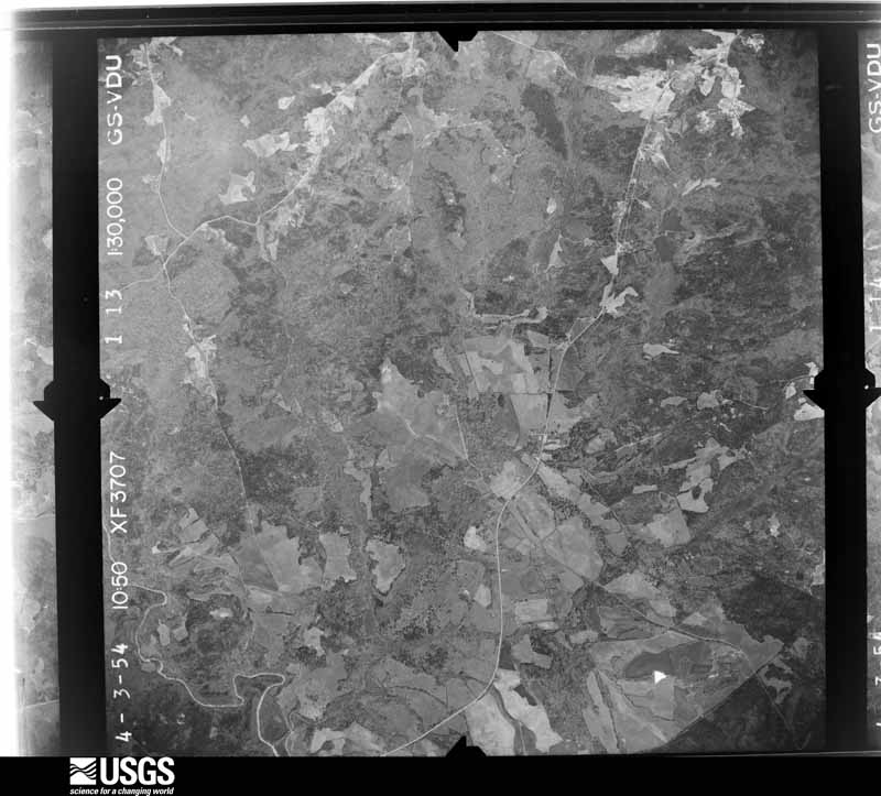


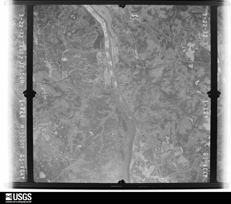
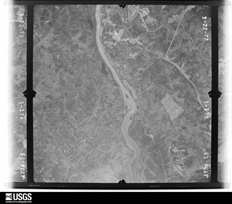

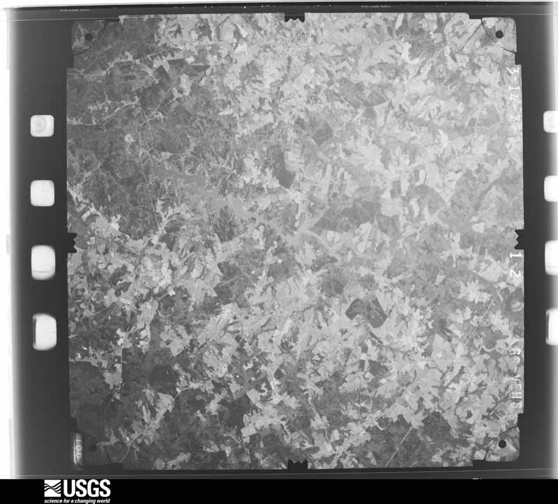
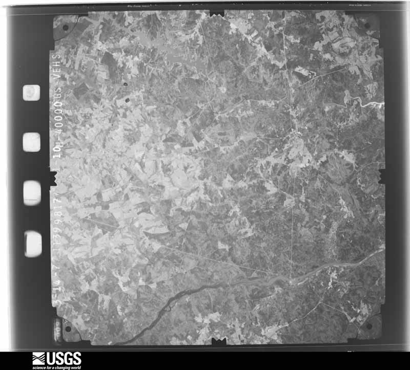
The thermometers that kept this county's weather, and the gages that measured the flow of its streams, as the federal records hold them. The extremes below are measured values from those records, not estimates.
Who lived here in 1950, one enumeration district at a time, as the Census Bureau described each district. Each row opens its official National Archives result, with Population Schedules and ED Maps available there.
Every wildfire the federal occurrence database records inside this county: 1,242 of them, burning about 3,706 acres. 36 started naturally and 232 were recorded as arson. Each settlement page carries the fires within five miles of it.
| Reported cause | Fires |
|---|---|
| Missing data/not specified/undetermined | 418 |
| Debris and open burning | 303 |
| Arson/incendiarism | 232 |
| Equipment and vehicle use | 111 |
| Misuse of fire by a minor | 40 |
| Smoking | 39 |
| Natural | 36 |
| Recreation and ceremony | 23 |
| Power generation/transmission/distribution | 17 |
| Railroad operations and maintenance | 16 |
| Other causes | 4 |
| Fireworks | 3 |
The five largest, by the area the report gives. Two of them were set deliberately.
| Date | Cause | Size | Reported by | Name on the report |
|---|---|---|---|---|
| 20 March 2019 | Railroad operations and maintenance | 152 acres | Francis Marion & Sumter National Forests | MIDWAY |
| 8 March 1994 | Missing data/not specified/undetermined | 150 acres | South Carolina Forestry Commission | not named |
| 4 July 2000 | Missing data/not specified/undetermined | 80 acres | South Carolina Forestry Commission | not named |
| 25 April 2008 | Arson/incendiarism | 75 acres | South Carolina Forestry Commission | not named |
| 23 March 2011 | Arson/incendiarism | 61 acres | South Carolina Forestry Commission | not named |
| 14 March 1998 | Debris and open burning | 55 acres | South Carolina Forestry Commission | not named |
| 5 July 1993 | Missing data/not specified/undetermined | 49 acres | South Carolina Forestry Commission | not named |
| 13 February 1996 | Missing data/not specified/undetermined | 45 acres | South Carolina Forestry Commission | not named |
Every settlement page carries the fires within five miles of it - see the settlement index below.
The NOAA Storm Events Database holds 274 reports for this county, causing 7 deaths, 67 injuries and about $30,524,000 in recorded property damage. Each settlement page carries the reports that name it.
| Kind of event | Reports |
|---|---|
| Thunderstorm Wind | 156 |
| Hail | 74 |
| Tornado | 22 |
| Flash Flood | 11 |
| Lightning | 7 |
| Flood | 3 |
| Heavy Rain | 1 |
The most serious of them, by death, then injury, then recorded damage. The accounts are quoted exactly as the forecast office filed them.
| When | Event | Place named | Harm | What the report says |
|---|---|---|---|---|
| March 1973 | Tornado (F4) | not stated | 7 killed, 30 hurt, $2,500,000 | no account filed |
| March 1984 | Tornado (F1) | not stated | 24 hurt, $25,000,000 | no account filed |
| May 1973 | Tornado (F2) | not stated | 7 hurt, $250,000 | no account filed |
| April 2009 | Tornado (EF2) | Watts | 2 hurt, $1,000,000 | NWS survey found an extensive area of damage in the city of Abbeville consistent with a strong EF2 tornado. The tornado began near the intersection of highway 71 and Rock Hill Rd before moving east/southeast through the city of Abbeville. The main areas affected in the city were Church Street, McGowan, Ave, Main St, and especially Secession Ave. The roofs were blown off about a half dozen frame homes in the city, while numerous mobile homes were heavily damaged or destroyed. A few other office buildings and businesses received major roof damage in this area. Numerous trees were snapped off or uprooted along the path. One tree fell through a home, injuring the man inside. Another man caught outside received head injuries from flying debris. The tornado lifted about a mile east/southeast of the city. The tornado was produced by a supercell embedded in a line of rapidly moving storms. |
| December 1994 | Tornado (F1) | not stated | 1 hurt, $500,000 | A small tornado struck suddenly from a relatively weak thunderstorm. The tornado severely damaged six homes will lesser damage to seven other homes, destroyed some outbuildings and carports, and downed numerous trees and power lines. One person sustained minor injuries. Because it hit a populated section damage was quite high for a small tornado (estimated at $500,000). |
| April 1956 | Tornado (F2) | not stated | 1 hurt, $250,000 | no account filed |
| May 2021 | Tornado (EF2) | Lowndesville | 1 hurt, $75,000 | NWS storm survey found the path of a significant tornado that began just of Russel Lake on Harpers Ferry Rd. Damage was initially limited to downed trees and limbs as the tornado moved east northeast. The first structural damage occurred along Tater Hill Rd, where several outbuildings were heavily damaged and a man was injured when he was thrown from his back porch. The tornado continued east northeast from there, entering a heavily wooded area and crossing a finger of Russell Lake before emerging on Highway 81 just south of Tom Young Bridge Rd. Damage was limited to sporadic tree damage along this section of the path. The tornado remained weak as it continued east before intensifying after crossing Monterey Rd, as much of the roof was removed from a frame home on Fairfield Church Rd. The tornado weakened again from there, with damage limited primarily to uprooted hardwoods and snapped softwoods as it crossed Highway 71, 28, and 20, passing just north of the Abbeville city limits. The tornado intensified again after crossing Old Douglas Mill Rd, as multiple small to medium hardwoods were snapped 10 to 20 feet above the ground along portions of Stevenson Rd and Old Hodges Rd. The tornado weakened again east of this location, with additional EF1 tree damage observed before it moved into Greenwood County near Johns Creek Rd. |
| April 1985 | Thunderstorm Wind | not stated | 1 hurt | no account filed |
| June 1996 | Lightning | Antreville | $250,000 | no account filed |
| July 1999 | Lightning | Abbeville | $100,000 | no account filed |
| October 2021 | Flash Flood | Antreville | $50,000 | County comms and emergency management reported flash flooding developed over northern Abbeville County after 4 to 6 inches of rain fell over just a couple of hours in association with a slow moving thunderstorm cluster. Flash flooding was most concentrated in the Antreville and Lake Secession area, where multiple roads were flooded and some damaged due to inundation. These included Lake Secession Rd, Highway 284, and a portion of Highway 28. A few water rescues occurred in these areas as well. Gilgal Church Rd was also flooded north of Abbeville. |
| March 2019 | Tornado (EF0) | Abbeville | $50,000 | NWS storm survey found the path of a weak tornado on the north side of the city of Abbeville. The tornado touched down near the intersection of Beltline Rd and Highway 20. The tornado moved due east through a forested area before impacting a residential neighborhood near the intersection of Mt Olive Church Rd and Old Douglas Mill Rd. In addition to numerous trees and power lines being blown down along the path, a large oak tree fell through a home, a metal carport was ripped from another home, and column supports torn from another home in this area. |
| April 2009 | Tornado (EF1) | Watts | $50,000 | Numerous trees were blown down along Old Calhoun Falls Rd. Part of the roof of a home was also severely damaged, and some siding was torn off. A tree fell through the roof of another home. |
| June 2004 | Flash Flood | Lowndesville | $50,000 | A creek overflowed its banks, flooding a tree nursery and a road. Damage at the nursery was significant. |
| April 1999 | Thunderstorm Wind | Lowndesville | $50,000 | no account filed |
| July 1996 | Lightning | Donalds | $50,000 | no account filed |
| June 1994 | Thunderstorm Wind | Calhoun Falls | $50,000 | no account filed |
| May 1998 | Tornado (F0) | Due West | $30,000 | A weak short-lived tornado downed numerous large trees and blew a carport off house, and underpinning off a trailer. |
| September 2004 | Flash Flood | Abbeville | $26,000 | no account filed |
| October 2015 | Heavy Rain | Calhoun Falls | $25,000 | County comms reported the combination of saturated soils due to heavy rainfall and winds gusting in excess of 20 mph caused a large oak tree to fall on the back section of a house in Calhoun Falls. |
| November 2003 | Tornado (F0) | Calhoun Falls | $20,000 | This weak tornado blew down numerous trees and power lines along its intermittent 15-mile track. One telephone pole was snapped. In Abbeville, a large tree limb fell and tore a hole in the roof of a home, causing extensive damage. |
| June 2019 | Thunderstorm Wind | Watts | $10,000 | Fire dept reported multiple trees blown down from Mt Carmel Rd, across Highway 28, to Candy Branch Rd. A tree fell on a house on Candy Branch Rd. |
| August 2018 | Tornado (EF0) | Fairs Xrds | $10,000 | NWS storm survey confirmed a weak tornado touched down near the intersection of Highway 201 and Milford Dairy Rd and moved north-northeast for less than two miles before dissipating. Numerous trees were blown down along the path while a couple of outbuildings were heavily damaged. |
| June 2018 | Thunderstorm Wind | Calhoun Falls | $10,000 | County comms reported multiple trees and power lines blown down in the Calhoun Falls area. Media also reported roof damage to a church. |
| December 2015 | Flash Flood | Hester | $10,000 | County comms reported flash flooding developed across much of Abbeville County after 2-3 inches of rain fell, with much of that falling in just a couple of hours. Multiple roads were closed due to stream flooding and especially drainage problems in the cities of Calhoun Falls and Abbeville. Closed roads in Calhoun Falls included Anderson St, Kathryn St, Lee St, Savannah St, and Edgewood St and in Abbeville Long Branch St, Whitehall St, and Maple St. |
| May 2010 | Tornado (EF0) | Fairs Xrds | $10,000 | The tornado touched down just east of highway 20 and moved east-northeast along Kay Rd. A camper was moved 10 feet into a storage building and minor roof damage occurred to a home. Part of the tin roof was peeled off a barn. Quite a few trees were snapped off and uprooted as well. |
| April 2005 | Thunderstorm Wind | Abbeville | $10,000 | Numerous trees and power lines blown down in and around the city. At least one tree fell on a house. |
| April 2005 | Lightning | Abbeville | $10,000 | Lightning struck the steeple of Abbeville Presbyterian Church, igniting a fire. |
| July 2005 | Tornado (F1) | Due West | $10,000 | Tornado track near highway 185 northwest of Due West. Damage was mainly confined to numerous trees that were blown down along the three-quarter mile path. However, one home did receive some roof damage. |
| August 2003 | Thunderstorm Wind | Honea Path | $10,000 | The roof was blown off of a building. |
| November 2002 | Thunderstorm Wind | Abbeville | $10,000 | Numerous trees were blown down. Power and telephone poles were snapped. |
| September 2004 | Flash Flood | Abbeville | $6,000 | no account filed |
| October 2021 | Flood | Antreville | $5,000 | Although heavy rain ended across Abbeville County during the morning, runoff from the earlier rainfall resulted in high water conditions persisting along streams in the northern part of the county, with multiple roads remaining flooded and closed into the afternoon. |
| February 1997 | Thunderstorm Wind | Abbeville | $5,000 | no account filed |
| June 1995 | Thunderstorm Wind | Abbeville | $5,000 | no account filed |
| July 2020 | Thunderstorm Wind | Abbeville | $4,000 | Public reported multiple trees down and minor damage to a few mobile homes on Flatwood Rd. |
| August 2003 | Thunderstorm Wind | Countywide | $3,000 | Trees and power lines were blown down. |
| May 2002 | Thunderstorm Wind | Abbeville | $3,000 | Numerous trees and powerlines were blown down. |
| August 1963 | Tornado (F1) | not stated | $2,500 | no account filed |
| July 1997 | Tornado (F0) | Due West | $2,000 | no account filed |
| May 1995 | Thunderstorm Wind | Loundersville | $2,000 | no account filed |
| January 2020 | Tornado (EF0) | Abbeyville Davis Arp | $1,000 | NWS storm survey reported the path of a weak tornado that began off Rivers Way, not far from the Greenwood County line, tracking northeast into Greenwood County just north of Highway 72, along Mill Rd N. Damage was mainly limited to uprooting of large pine trees and snapping of smaller pines, although a warehouse-type building on Highway 72 lost part of its metal roof and had an overhead door bent inward. |
| October 2015 | Flash Flood | Calhoun Falls Arpt | $1,000 | After moderate to occasionally heavy rain fell across the area throughout the 3rd, an area of very heavy rain moved out of the midlands during the late evening of the 3rd and early morning hours on the 4th, increasing rainfall rates enough to cause flash flooding across portions of Abbeville County. County comms reported flooding along McKenley Creek and its tributaries, with water covering two bridges on McKenley Creek Rd. |
| October 2015 | Flood | Abbeville | $1,000 | After early morning flash flooding, rain rates moderated across the lower Piedmont, but flooding gradually expanded, with high water conditions remaining in place throughout much of the 4th. The main stream affected during this time was Dry Creek and/or Long Cane Creek, with Miller Mill Rd closed due to high water. |
| May 2003 | Tornado (F0) | Calhoun Falls | $1,000 | This weak tornado knocked down a few trees and power lines before dissipating. |
| August 2003 | Thunderstorm Wind | Donalds | $1,000 | Some power lines were blown down. |
| March 2002 | Thunderstorm Wind | Due West | $1,000 | A couple of trees were reported blown down around Due West, and several trees were blown down in Donalds. |
| May 2002 | Thunderstorm Wind | Lowndesville | $1,000 | Some trees and powerlines were blown down. |
| May 2002 | Thunderstorm Wind | Calhoun Falls | $1,000 | Some trees and powerlines were blown down. |
| January 1995 | Thunderstorm Wind | between Abbeville | $1,000 | no account filed |
| February 1995 | Thunderstorm Wind | Calhoun Falls | $1,000 | no account filed |
| November 2015 | Flood | Antreville | $500 | County comms reported flooding developed across the northern part of the county after more than 4 inches of rain fell in about a 36 hour period, with much of that falling on the morning of the 2nd. John Grey Rd was closed in the Antreville area, possibly due to flooding of Spur Creek. Sharp Rd south of Due West was also closed due to high water. |
| May 2025 | Tornado (EF0) | Latimer | - | NWS storm survey reported a brief and weak tornado touched down along Old Calhoun Falls Rd near Mud Creek Rd. The tornado moved northeast, paralleling Old Calhoun Falls Rd before dissipating near the intersection with Latimer Rd. The tornado snapped multiple large limbs and uprooted a couple of trees. |
| June 2025 | Thunderstorm Wind | Lowndesville | - | Public reported trees and powerlines blown down in the Lowndesville and Antreville areas. |
| June 2025 | Thunderstorm Wind | Abbeville | - | Public reported (via Social Media) multiple trees blown down in the Abbeville area. |
| July 2024 | Thunderstorm Wind | Brownlee Xrds | - | County comms reported several trees and power lines blown down along Highway 284. |
| December 2024 | Thunderstorm Wind | Watts | - | County comms reported scattered trees blown down throughout Abbeville County. |
| January 2023 | Thunderstorm Wind | Hester | - | County comms reported multiple trees and power lines blown down across Abbeville County. |
| August 2023 | Thunderstorm Wind | Latimer | - | County comms reported numerous trees and power lines blown down across Abbeville County. |
| August 2023 | Thunderstorm Wind | Calhoun Falls | - | Emergency manager reported five trees blown down in and around Calhoun Falls. |
The Survey's mineral resources record lists 23 workings inside this county. 5 still produce and 18 are closed or unrecorded. Each settlement page carries the workings within five miles of it.
| Commodity | Workings |
|---|---|
| Gold | 9 |
| Mica | 4 |
| Sand and Gravel, Construction | 3 |
| Copper | 2 |
| Stone, Crushed/Broken | 2 |
| Feldspar | 2 |
| Titanium, Iron | 1 |
| Copper, Iron | 1 |
| Silver | 1 |
| Pyrophyllite | 1 |
| Andalusite | 1 |
The least common of them first, because a county's hundredth gravel pit says nothing its first ten did not.
| Where | Site | Commodity | Status | Recorded |
|---|---|---|---|---|
| Calhoun Falls | Titanium, Iron | Unknown | Outcrop Exposure | |
| Parsons Mountain Pyrophyllite Prospect | Pyrophyllite, Andalusite | Unknown | Metamorphic | |
| Saluda Mine | Copper, Iron, Silver | Prospect | ||
| Brown Prospects | Mica, Feldspar | Prospect | ||
| Richard B. Russell Dam Project Quar | Stone, Crushed/Broken | Producer | ||
| Saluda Mine | Copper | Past Producer | Stratiform | |
| Scott Quarry | Stone, Crushed/Broken | Producer | ||
| Unknown | Copper | Past Producer | Stratabound Discordant | |
| Vandiver & Cooke Scott Prospects | Mica, Feldspar | Prospect | ||
| Ware Shoals Pit | Sand and Gravel, Construction | Producer | ||
| Wilson Bros. Pit | Sand and Gravel, Construction | Producer | ||
| Wilson Brothers Sand Co., Inc | Sand and Gravel, Construction | Producer | Sedimentary | |
| Clenkscales Prospect | Mica | Unknown | Pegmatite | |
| Rocky River Mine | Mica | Unknown | 1921, 1923 | |
| Calais and Douglas Mine | Gold | Past Producer | Vein | |
| Calais and Douglas Mine | Gold | Past Producer | ||
| Civil War Mine | Gold | Past Producer | 1860 | |
| Cook Prospect | Gold | Unknown | 1908 | |
| Cook Prospect | Gold | Prospect | ||
| Jones Mine | Gold | Unknown | 1908 | |
| Jones Mine | Gold | Past Producer | ||
| Lyon Prospect | Gold | Prospect | ||
| Lyons Mine | Gold | Unknown | 1908 |
Named settlements recorded in the Geographic Names Information System, each with the topographic sheets covering it. Villages, hamlets and abandoned places alike. Each is shown with the nearest named watercourse or landform and the survey quadrangle it falls on. The 1 place that was also surveyed for fire insurance comes first, with the number of atlases and photographs held for them.
Abbeville census division · 29620 · On Adams Branch · Abbeville West quadrangle
15 sheets, 1892 to 1979
Fire insurance: 9 atlases
Antreville-Lowndesville census division · 29655 · Antreville quadrangle
12 sheets, 1893 to 1979
Abbeville census division · 29620 · Near Parsons Mountain · Calhoun Creek quadrangle
13 sheets, 1892 to 1979
Donalds census division · 29692 · On Gibson Creek · Ware Shoals West quadrangle
13 sheets, 1892 to 1979
Abbeville census division · 29653 · On Grays Creek · Shoals Junction quadrangle
13 sheets, 1892 to 1979
Antreville-Lowndesville census division · 29620 · Latimer quadrangle
12 sheets, 1893 to 1979
Calhoun Falls census division · 29628 · Calhoun Falls quadrangle
14 sheets, 1893 to 1979
Abbeville census division · 29819 · On Grays Creek · Abbeville East quadrangle
15 sheets, 1892 to 1979
No longer a settlement
Abbeville census division · 29620 · On Bowie Branch · Shoals Junction quadrangle
13 sheets, 1892 to 1979
Abbeville census division · 29620 · On Jim Knox Branch · Calhoun Creek quadrangle
13 sheets, 1892 to 1979
Abbeville census division · 29620 · Calhoun Falls quadrangle
14 sheets, 1893 to 1979
No longer a settlement
Abbeville census division · 29620 · On Richie Branch · Verdery quadrangle
15 sheets, 1892 to 1979
Donalds census division · 29654 · Honea Path quadrangle
13 sheets, 1892 to 1979
No longer a settlement
Donalds census division · 29654 · Ware Shoals West quadrangle
13 sheets, 1892 to 1979
No longer a settlement
Abbeville census division · 29620 · On Morrison Branch · Abbeville East quadrangle
15 sheets, 1892 to 1979
Antreville-Lowndesville census division · 29655 · Lowndesville quadrangle
14 sheets, 1893 to 1979
No longer a settlement
Antreville-Lowndesville census division · 29620 · On Park Creek · Abbeville West quadrangle
15 sheets, 1892 to 1979
No longer a settlement
Calhoun Falls census division · 29628 · On McKenley Creek · Calhoun Falls quadrangle
14 sheets, 1893 to 1979
No longer a settlement
Antreville-Lowndesville census division · 29655 · Lowndesville quadrangle
14 sheets, 1893 to 1979
No longer a settlement
Due West census division · 29639 · On Chickasaw Creek · Due West quadrangle
13 sheets, 1892 to 1979
Donalds census division · 29638 · Ware Shoals West quadrangle
13 sheets, 1892 to 1979
Donalds census division · 29638 · On Gypsy Creek · Shoals Junction quadrangle
13 sheets, 1892 to 1979
No longer a settlement
Antreville-Lowndesville census division · 29655 · Antreville quadrangle
12 sheets, 1893 to 1979
Due West census division · 29655 · On Blacks Creek · Due West quadrangle
13 sheets, 1892 to 1979
Abbeville census division · 29620 · On McCord Creek · Abbeville East quadrangle
15 sheets, 1892 to 1979
No longer a settlement
Antreville-Lowndesville census division · 29655 · On Charlies Creek · Lowndesville quadrangle
14 sheets, 1893 to 1979
Donalds census division · 29638 · On Goose Creek · Ware Shoals West quadrangle
13 sheets, 1892 to 1979
Abbeville census division · 29620 · On Little Curltail Creek · Abbeville East quadrangle
15 sheets, 1892 to 1979
No longer a settlement
Abbeville census division · 29620 · On Bagg Creek · Abbeville East quadrangle
15 sheets, 1892 to 1979
Calhoun Falls census division · 29628 · On Calhoun Branch · Heardmont quadrangle
14 sheets, 1893 to 1979
No longer a settlement
Calhoun Falls census division · 29620 · Latimer quadrangle
12 sheets, 1893 to 1979
No longer a settlement
Donalds census division · 29654 · Ware Shoals West quadrangle
13 sheets, 1892 to 1979
No longer a settlement
Calhoun Falls census division · 29655 · Lowndesville quadrangle
14 sheets, 1893 to 1979
No longer a settlement
Abbeville census division · 29620 · On McCord Creek · Abbeville East quadrangle
15 sheets, 1892 to 1979
Abbeville census division · 29649 · On Long Branch · Abbeville East quadrangle
15 sheets, 1892 to 1979
Abbeville census division · 29620 · Abbeville East quadrangle
15 sheets, 1892 to 1979
No longer a settlement
Due West census division · 29638 · On Long Branch · Due West quadrangle
13 sheets, 1892 to 1979
No longer a settlement
Donalds census division · 29638 · On Murray Creek · Ware Shoals West quadrangle
13 sheets, 1892 to 1979
Abbeville census division · 29620 · On Flagreed Creek · Abbeville West quadrangle
15 sheets, 1892 to 1979
Abbeville census division · 29620 · On Flagreed Creek · Abbeville West quadrangle
15 sheets, 1892 to 1979
Due West census division · 29654 · On Camp Creek · Due West quadrangle
13 sheets, 1892 to 1979
The vanished settlements of Abbeville County: the places named above that are no longer on the map.
15 topographic sheets and 9 fire insurance atlases, 1884 to 1944
The complete index, with nothing left out. Each of these is a separate record with its own page: a federal survey report, or the case file that argued a property on to the National Register. Both are public domain and reproduced word for word.
The vanished settlements of Abbeville County, the places these records name that are no longer on the map.