 Block
Abbeville, South Carolina
15 topographic sheets cover this place, the earliest surveyed in 1892 and the latest in 1979. It stands in the Abbeville census division. It lies in ZIP code area 29620. It stands on Adams Branch. The Survey maps it on the Abbeville West quadrangle. 4,874 people lived here at the 2020 count. It stands 591 feet above sea level.
Research this city
On record in Abbeville
Buildings and businesses the archive holds for this place. Each opens its own page, with the source record it came from.
On the National Register 12 records
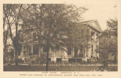 Armistead Burt HouseNational Historic Landmark · listed 1970
 Abbeville County Courthouselisted 1981
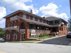 Abbeville Historic Districtlisted 1972
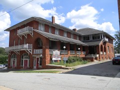 Abbeville Historic District (Boundary Decrease)listed 1972
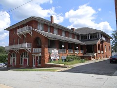 Abbeville Historic District (Boundary Increase)listed 1984
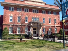 Abbeville Opera Houselisted 1970
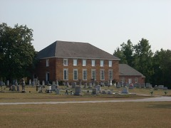 Cedar Springs Historic Districtlisted 1982
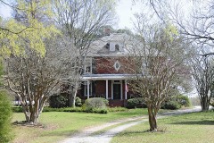 Harbison College President's Homelisted 1983
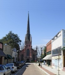 Trinity Episcopal Church and Cemeterylisted 1971
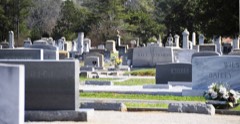 Upper Long Cane Cemeterylisted 2010
- Abbeville County Training Schoollisted 2022
- Patrick Calhoun Family Cemeterylisted 1975
Surveyed buildings and structures 6 records
- Burt-Stark Mansion, 400 North Main Street, Abbevillefederal building survey, 13 photographs
- Frazier-Pressley House, Intersection County Roads 33, 112 & 47, Abbevillefederal building survey, 16 photographs
- Frazier-Pressley House, Privy, intersection County Roads 33, 112 & 47, Abbevillefederal building survey, 5 photographs
- Road S-1-133 Bridge, Spanning Long Cane Creek, Abbevillefederal building survey, 6 photographs
- Seaboard Coast Line Railroad Bridge, Spanning Savannah River, Calhoun Fallsfederal building survey, 4 photographs
- Trinity Episcopal Church, Church Street, Abbevillefederal building survey, 1 photograph
Population over time
2 figuresAbbeville fell from 5,237 to 4,874 between 2010 and 2020. These are the recorded population figures Wikidata holds for this place, reached through the Geographic Names Information System number this page is keyed on rather than by name, so they belong to this place and not to another of the same name. Most are census counts, but not all are: an early figure may be a founding or settlement estimate, and an estimate published within five years of a census is left out. The change column is computed, and is left blank where more than 20 years separate a figure from the one before it, because a gap that long is not a change between two counts.
| Year | People | Change |
|---|---|---|
| 2010 | 5,237 | |
| 2020 | 4,874 | -363 (-7%) |
Topographic sheets covering this place
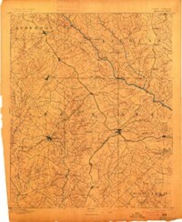
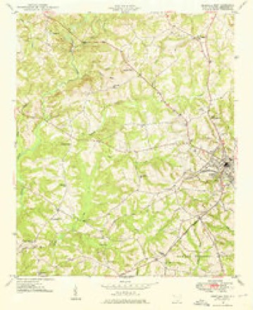
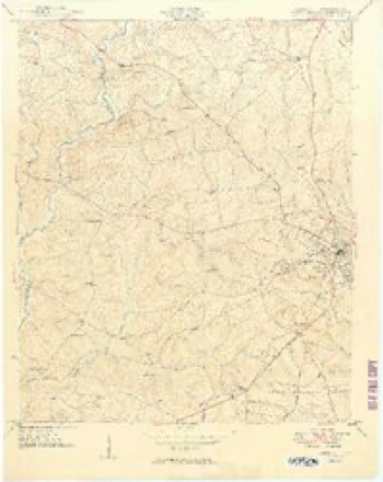
6 surveys from 15 printed sheetsMatched by testing this settlement's coordinate against the published boundary of every sheet in the United States Geological Survey's historical collection. Each opens the scanned sheet at the Survey.
- 1892 USGS Abbeville quadrangle1:125000, 6 printings
- 1948 USGS Abbeville West quadrangle1:24000
- 1949 USGS Abbeville quadrangle1:24000, 2 printings
- 1954 USGS Greenville quadrangle1:250000, 3 printings
- 1958 USGS Greenville quadrangle1:250000
- 1979 USGS Abbeville quadrangle1:100000, 2 printings
Photographs
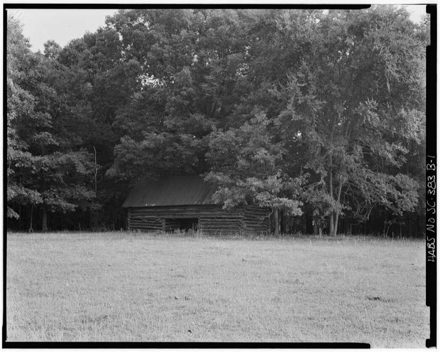
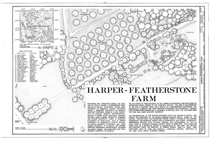
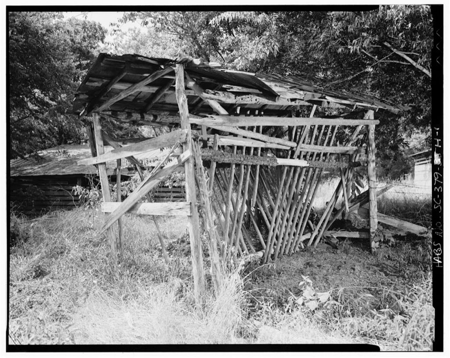
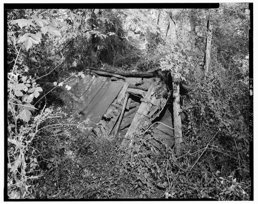
8 of 25 photographs shown,Taken for the Office of War Information and the Farm Security Administration, who photographed the country between 1935 and 1944. Works of United States government photographers, with no known restriction on use. Each opens its catalogue record.
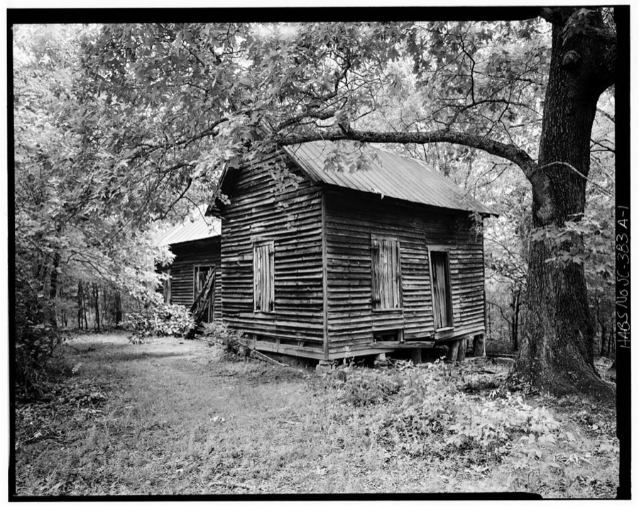
Photographer not recorded. Library of Congress
Photographer not recorded. Library of Congress
Photographer not recorded. Library of Congress
Photographer not recorded. Library of Congress
Photographer not recorded. Library of Congress
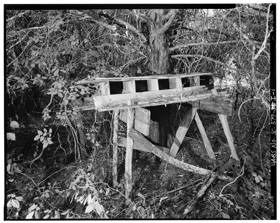
Photographer not recorded. Library of Congress
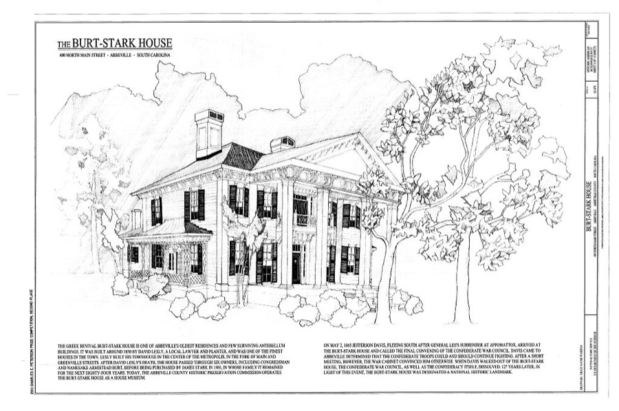
Photographer not recorded. Library of Congress
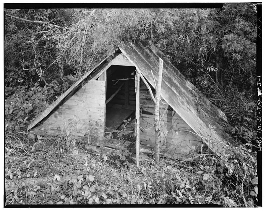
Photographer not recorded. Library of Congress
Every photograph of Abbeville County
Fires near this place
213 since 1992Regional context, not property-specific evidence. The federal wildfire occurrence database lists 213 fires within 5 miles of Abbeville between 1992 and 2020, burning about 296 acres in total. 3 started naturally. 11 were recorded as arson. Distance is straight-line from the map coordinates, so a fire counted here may appear on a neighbouring settlement's page as well.
| Reported cause | Fires |
|---|---|
| Missing data/not specified/undetermined | 86 |
| Debris and open burning | 53 |
| Equipment and vehicle use | 22 |
| Misuse of fire by a minor | 17 |
| Arson/incendiarism | 11 |
| Railroad operations and maintenance | 10 |
| Smoking | 7 |
| Natural | 3 |
| Power generation/transmission/distribution | 2 |
| Fireworks | 1 |
| Recreation and ceremony | 1 |
The most recent of them, most recent first, with the day each was reported and the service that recorded it.
| Date | Cause | Size | Reported by | Name on the report |
|---|---|---|---|---|
| 6 September 2005 | Debris and open burning | 4.0 acres | South Carolina Forestry Commission | not named |
| 3 September 2007 | Misuse of fire by a minor | under an acre | South Carolina Forestry Commission | not named |
| 29 September 2016 | Debris and open burning | 1.0 acres | South Carolina Forestry Commission | 1974 CEDAR SPRINGS SOUTH |
| 23 September 2014 | Arson/incendiarism | under an acre | Francis Marion & Sumter National Forests | EBENEEZER |
| 2 September 2011 | Debris and open burning | under an acre | South Carolina Forestry Commission | not named |
| 17 September 1999 | Arson/incendiarism | 10 acres | South Carolina Forestry Commission | not named |
| 13 September 1993 | Missing data/not specified/undetermined | under an acre | South Carolina Forestry Commission | not named |
| 12 September 2002 | Debris and open burning | under an acre | South Carolina Forestry Commission | not named |
Settlements close enough to share some of these fires:
Storms near this place
60 of 64 shownRegional context, not property-specific evidence. The National Weather Service names Abbeville in 64 storm reports between 1994 and 2025: 35 thunderstorm wind, 17 hail, 5 lightning, 3 flash flood. No death or injury is recorded in these reports. Each account below is quoted exactly as the forecast office filed it, from the NOAA Storm Events Database, and each date opens the federal record of that event.
| When | Event | Place named | Harm | What the report says |
|---|---|---|---|---|
| July 1999 | Lightning | Abbeville | $100,000 | no account filed |
| March 2019 | Tornado (EF0) | Abbeville | $50,000 | NWS storm survey found the path of a weak tornado on the north side of the city of Abbeville. The tornado touched down near the intersection of Beltline Rd and Highway 20. The tornado moved due east through a forested area before impacting a residential neighborhood near the intersection of Mt Olive Church Rd and Old Douglas Mill Rd. In addition to numerous trees and power lines being blown down along the path, a large oak tree fell through a home, a metal carport was ripped from another home, and column supports torn from another home in this area. |
| September 2004 | Flash Flood | Abbeville | $26,000 | no account filed |
| April 2005 | Thunderstorm Wind | Abbeville | $10,000 | Numerous trees and power lines blown down in and around the city. At least one tree fell on a house. |
| April 2005 | Lightning | Abbeville | $10,000 | Lightning struck the steeple of Abbeville Presbyterian Church, igniting a fire. |
| November 2002 | Thunderstorm Wind | Abbeville | $10,000 | Numerous trees were blown down. Power and telephone poles were snapped. |
| September 2004 | Flash Flood | Abbeville | $6,000 | no account filed |
| February 1997 | Thunderstorm Wind | Abbeville | $5,000 | no account filed |
| June 1995 | Thunderstorm Wind | Abbeville | $5,000 | no account filed |
| July 2020 | Thunderstorm Wind | Abbeville | $4,000 | Public reported multiple trees down and minor damage to a few mobile homes on Flatwood Rd. |
| May 2002 | Thunderstorm Wind | Abbeville | $3,000 | Numerous trees and powerlines were blown down. |
| October 2015 | Flood | Abbeville | $1,000 | After early morning flash flooding, rain rates moderated across the lower Piedmont, but flooding gradually expanded, with high water conditions remaining in place throughout much of the 4th. The main stream affected during this time was Dry Creek and/or Long Cane Creek, with Miller Mill Rd closed due to high water. |
| June 2025 | Thunderstorm Wind | Abbeville | - | Public reported (via Social Media) multiple trees blown down in the Abbeville area. |
| August 2022 | Thunderstorm Wind | Abbeville | - | County comms relayed multiple reports of trees blown down just east of the city of Abbeville. |
| May 2021 | Hail | Abbeville | - | Spotter reported golf ball size hail in the Abbeville area. |
| October 2019 | Thunderstorm Wind | Abbeville | - | Emergency manager reported several trees blown down across the county. |
| July 2018 | Thunderstorm Wind | Abbeville | - | County comms reported multiple trees blown down in the Abbeville area. |
| July 2013 | Thunderstorm Wind | Abbeville | - | A couple trees were blown down around Abbeville, including on Trail Drive and the Highway 28 bypass on the west side of town. |
| July 2013 | Thunderstorm Wind | Abbeville | - | A tree was blown down on Rock Hill Road, about 5 miles northwest of Abbeville. |
| July 2012 | Thunderstorm Wind | Abbeville | - | Trees and power lines were blown down throughout the county. |
| July 2012 | Thunderstorm Wind | Abbeville | - | Several trees were blown down near Abbeville. |
| June 2011 | Thunderstorm Wind | Abbeville | - | Trees and power lines were blown down on highway 28 near highway 20. |
| June 2011 | Thunderstorm Wind | Abbeville | - | Trees were blown down on Stephenson Rd with additional trees down on Carolina Circle in the city. |
| August 2009 | Thunderstorm Wind | Abbeville | - | Trees were blown down along highway 72 a little to the southwest of Abbeville. |
| December 2009 | Thunderstorm Wind | Abbeville | - | Several trees were blown down in and around the city of Abbeville. |
| March 2008 | Tornado (EF0) | Abbeville | - | NWS survey found a small damage area consisent with EF0 tornado damage in northeast Abbeville County. Damage was mainly confined to downed trees and power lines. |
| May 2007 | Hail | Abbeville | - | Brief period of hail reported on Horton Dr. |
| June 2007 | Thunderstorm Wind | Abbeville | - | Trees blown down on Sweet Briar Rd, McIlwain Rd and another tree down on highway 185 7 miles NE of town. |
| July 2007 | Thunderstorm Wind | Abbeville | - | A tree was blown down at Shrine Club Rd and highway 28 and a power pole was downed on Hagler St Extension in the city. |
| May 2006 | Thunderstorm Wind | Abbeville | - | Fifteen to eighteen roads were blocked by fallen trees in and around the city of Abbeville. There were also quite a few power outages due to trees and limbs falling on lines in the city. Trees were also downed up to 5 miles east of town where the skirting was blown off of a mobile home. |
| August 2006 | Thunderstorm Wind | Abbeville | - | Large limbs on power lines on highway 28 bypass. Also, a tree fell on and damaged a home on Greenville St and trees took down 3 power lines on Harrisburg Street. |
| July 2004 | Thunderstorm Wind | Abbeville | - | Some trees were blown down. |
| July 2003 | Thunderstorm Wind | Abbeville | - | Some trees were blown down. |
| April 2003 | Tornado (F1) | Abbeville | - | A tornado touched down briefly in the Parsons Mountain area of the Sumter National Forest, blowing down several hundred trees along its 1/4 mile track. |
| May 2002 | Thunderstorm Wind | Abbeville | - | A few large trees were blown down. |
| June 2001 | Thunderstorm Wind | Abbeville | - | 911 center reported trees fell on some vehicles in rural part of Abbeville. |
| September 2000 | Thunderstorm Wind | Abbeville | - | Several trees were blown down near the Greenwood county border. |
| August 2000 | Thunderstorm Wind | Abbeville | - | Numerous trees and power lines were downed in a large area in and around Abbeville. |
| April 2009 | Hail | Abbeville | - | no account filed |
| March 2008 | Hail | Abbeville | - | no account filed |
| December 2007 | Hail | Abbeville | - | no account filed |
| June 2007 | Hail | Abbeville | - | no account filed |
| April 2006 | Hail | Abbeville | - | no account filed |
| April 2006 | Hail | Abbeville | - | no account filed |
| May 2006 | Hail | Abbeville | - | no account filed |
| May 2006 | Hail | Abbeville | - | no account filed |
| July 2006 | Hail | Abbeville | - | no account filed |
| April 2005 | Lightning | Abbeville | - | no account filed |
| May 2005 | Hail | Abbeville | - | no account filed |
| December 2005 | Hail | Abbeville | - | no account filed |
| April 2003 | Thunderstorm Wind | Abbeville | - | no account filed |
| May 2003 | Hail | Abbeville | - | no account filed |
| July 2000 | Flash Flood | Abbeville | - | no account filed |
| June 2000 | Thunderstorm Wind | Abbeville | - | no account filed |
| June 1999 | Thunderstorm Wind | Abbeville | - | no account filed |
| April 1999 | Hail | Abbeville | - | no account filed |
| July 1999 | Thunderstorm Wind | Abbeville | - | no account filed |
| June 1998 | Thunderstorm Wind | Abbeville | - | no account filed |
| August 1997 | Thunderstorm Wind | Abbeville | - | no account filed |
| June 1997 | Lightning | Abbeville | - | no account filed |
Newspapers printed here
25,790 digitised pages6 papers published in this town, digitised by the Library of Congress and free to read: 4,076 issues, 25,790 pages. Every page is searchable, so a name or a street can be looked for directly in what the town printed about itself at the time.
| Newspaper | Published |
|---|---|
| The Banner | 1844 to 1847 |
| The Abbeville Banner | 1847 to 1869 |
| The Abbeville Press and Banner | 1869 to 1924 |
| Abbeville Press | 1860 to 1869 |
| The Abbeville Messenger | 1884 to 1887 |
| The Abbeville Bulletin | 1865 |
What the paper printed
32,608 wordsFront pages of the local paper, read from the Library of Congress scans: 25 issues spread across its run from 1846 to 1923, 32,608 words in total. Each is reproduced on its own page, exactly as the recogniser returned it.
These pages read less well than anything else here, and the number is worth stating: about three words in four come through cleanly, against nine in ten for the building records. An 1896 broadsheet sets eight-point type in seven columns on microfilm, which is the hardest thing in this archive to read by machine. We tested our own recognisers against the Library's and they were not better, so the Library's text is what appears, with the wholly unreadable columns removed. Read it as a guide to what the paper covered, and follow the link to the scan before quoting anything.
| Issue | Paper | Length |
|---|---|---|
| 1869-10-08 | The Abbeville Press and Banner | 1,487 words |
| 1869-11-12 | The Abbeville Press and Banner | 1,307 words |
| 1869-11-26 | The Abbeville Press and Banner | 1,113 words |
| 1869-12-17 | The Abbeville Press and Banner | 1,643 words |
| 1923-05-30 | The Abbeville Press and Banner | 2,650 words |
| 1846-02-18 | The Banner | 1,850 words |
| 1846-05-13 | The Banner | 1,118 words |
| 1846-07-01 | The Banner | 1,212 words |
| 1846-09-02 | The Banner | 472 words |
| 1846-10-21 | The Banner | 707 words |
| 1847-03-03 | The Abbeville Banner | 1,021 words |
| 1869-09-29 | The Abbeville Banner | 1,059 words |
| 1860-11-09 | Abbeville Press | 548 words |
| 1860-11-23 | Abbeville Press | 1,299 words |
| 1860-11-30 | Abbeville Press | 452 words |
| 1860-12-14 | Abbeville Press | 1,318 words |
| 1869-09-24 | Abbeville Press | 1,406 words |
| 1884-10-01 | The Abbeville Messenger | 1,641 words |
| 1884-10-22 | The Abbeville Messenger | 1,952 words |
| 1884-11-12 | The Abbeville Messenger | 933 words |
| 1884-11-26 | The Abbeville Messenger | 1,280 words |
| 1884-12-17 | The Abbeville Messenger | 1,571 words |
| 1887-02-08 | The Abbeville Messenger | 2,347 words |
| 1865-08-10 | The Abbeville Bulletin | 1,199 words |
| 1865-08-31 | The Abbeville Bulletin | 1,023 words |
Nearest settlements
The eight closest, with where each one stands in the county. Distances are straight-line, computed from the Geographic Names Information System coordinates.
| Map | Place | Distance | Sheets |
|---|---|---|---|
| Long Cane (historical) | 3.2 miles | 15 | |
| Sharon | 3.5 miles | 15 | |
| Darraugh | 4.0 miles | 15 | |
| Bethel | 4.2 miles | 13 | |
| Cold Spring | 4.3 miles | 15 | |
| Millers Mill | 4.7 miles | 15 | |
| Warrenton | 5.3 miles | 15 | |
| Millers Grove (historical) | 5.5 miles | 15 |
Elsewhere
Matched on this settlement's Geographic Names Information System number rather than its name, so it cannot be a different place of the same name in another state.
| Wikipedia article on Abbeville | An encyclopaedic summary. Its text is share-alike, so it is linked here rather than copied. |
| Wikidata item Q1989375 | The structured record the population and elevation above come from. Public domain (CC0). |
Provenance
This settlement is recorded in the Geographic Names Information System as feature 1244839. The sheet list is computed by point-in-boundary test against the United States Geological Survey's historical topographic inventory. Both are works of the United States government and carry no copyright under 17 U.S.C. 105.
Wildfire. Short, Karen C. 2022. Spatial wildfire occurrence data for the United States, 1992-2020 [FPA_FOD_20221014]. 6th Edition. Fort Collins, CO: Forest Service Research Data Archive. https://doi.org/10.2737/RDS-2013-0009.6 Collected with United States Government funding and usable without additional permissions or fees.
Storms. NOAA National Centers for Environmental Information, Storm Events Database https://www.ncei.noaa.gov/stormevents/ A work of the United States government, no copyright under 17 U.S.C. 105. Narratives are quoted verbatim from the National Weather Service report and are not edited or summarised.