 Block
From the record
9 National Register listings published here.
Sources: the county history on the Internet Archive · the National Register database, National Park Service
47 topographic sheets and 12 fire insurance atlases across 2 places.
9 National Register listings published here.
Sources: the county history on the Internet Archive · the National Register database, National Park Service
Taken for the Office of War Information and the Farm Security Administration, who photographed the country between 1935 and 1944. Works of United States government photographers, with no known restriction on use. Each opens its catalogue record.
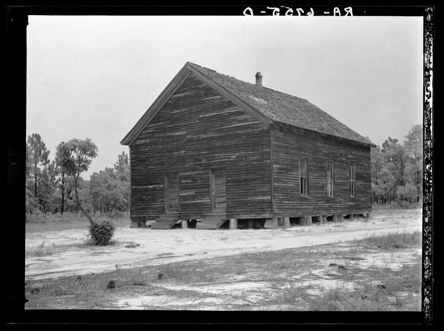
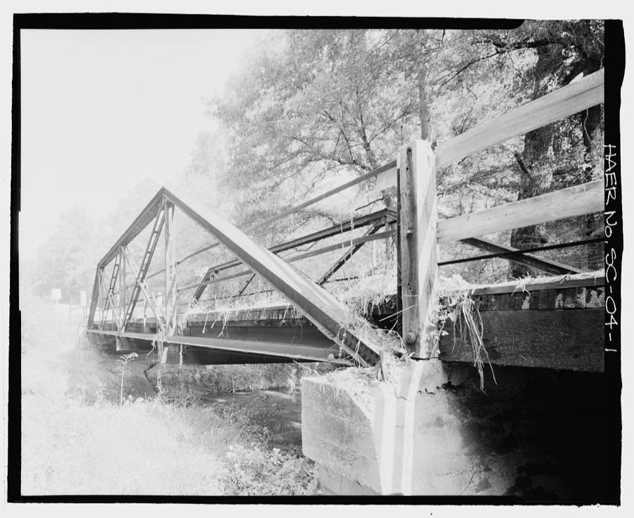
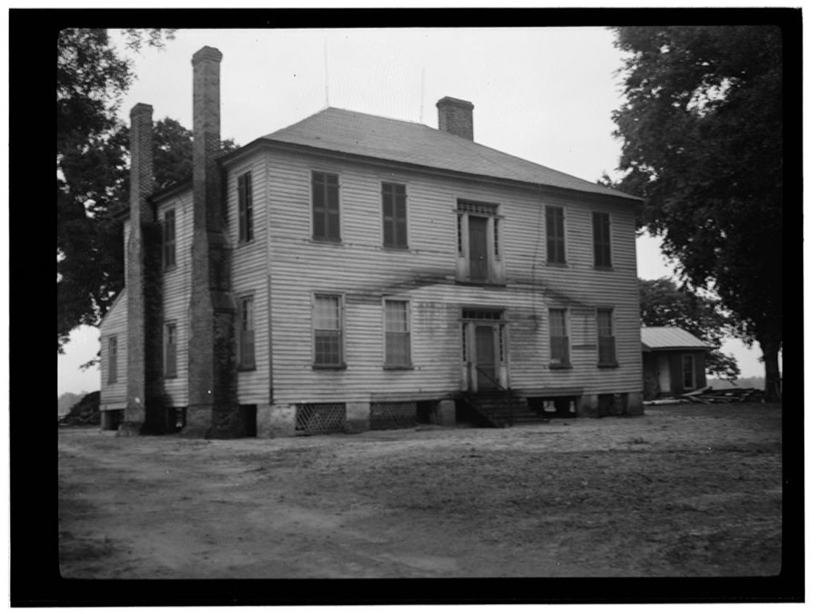
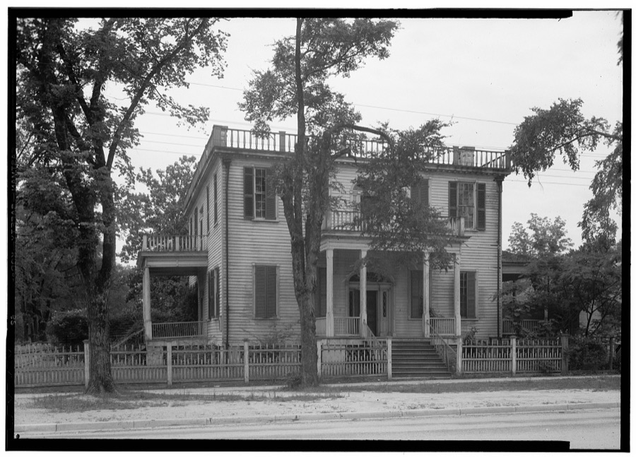
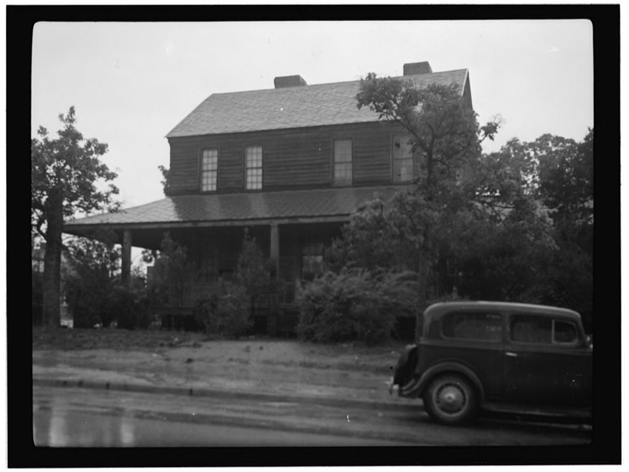
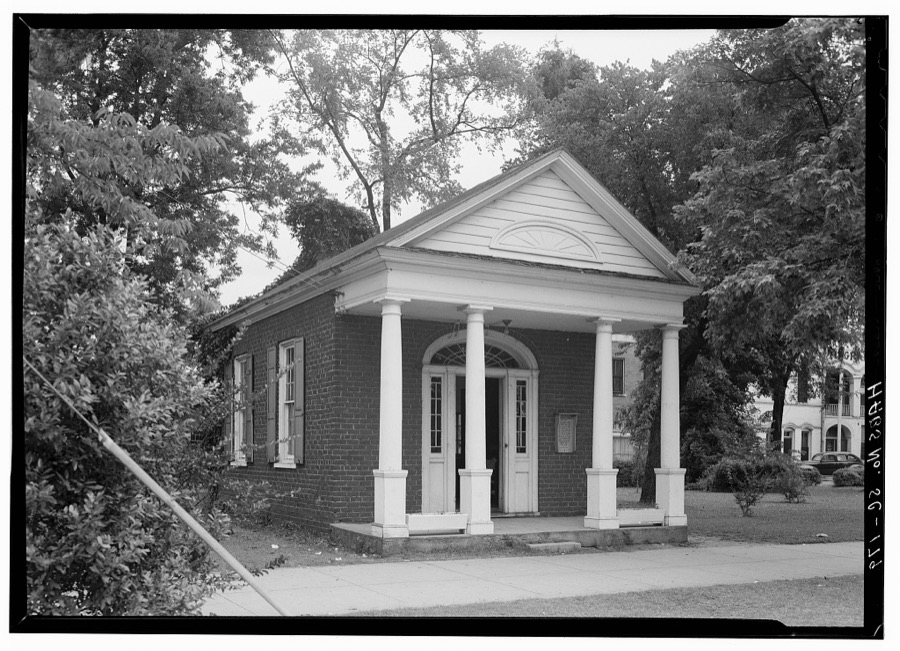
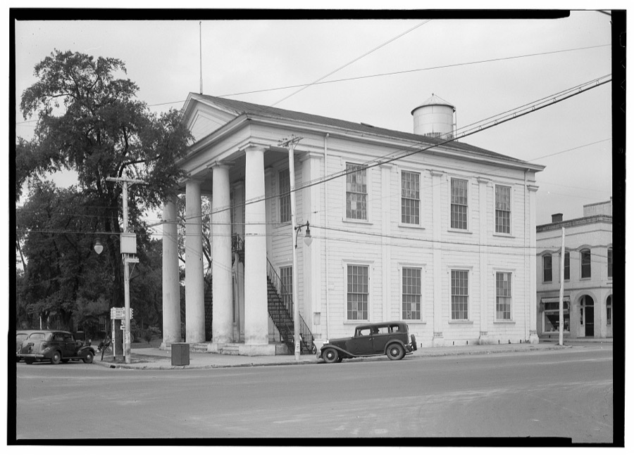
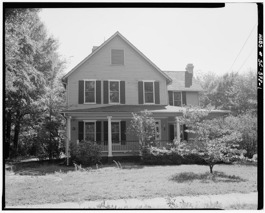
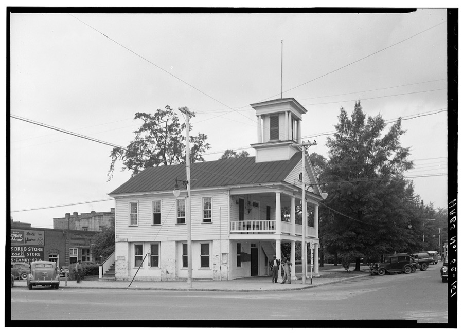
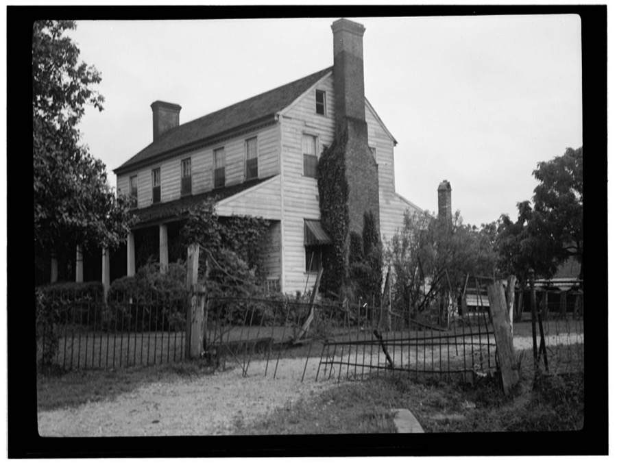
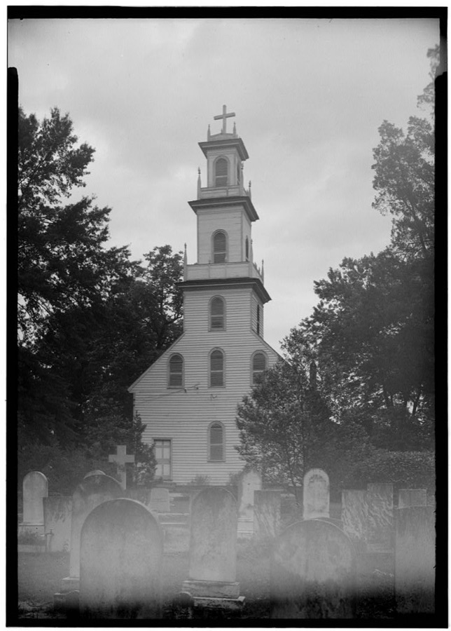
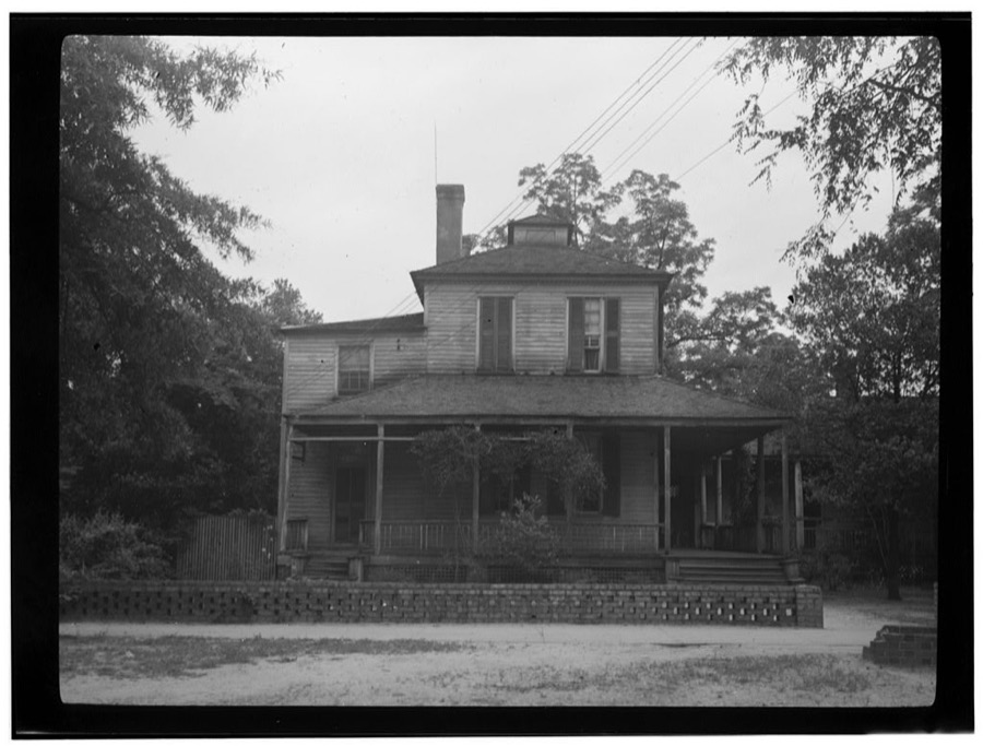
Every property in this county listed on the National Register of Historic Places, with the year it was listed and the federal nomination document.
| Photograph | Property | Type | Listed | Reference |
|---|---|---|---|---|
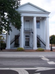 | Cheraw Historic District | district | 1974 | 74001844 |
| Coulter Memorial Academy Historic District | district | 2022 | 100008217 | |
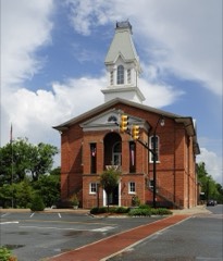 | East Main Street Historic District | building | 1982 | 82003847 |
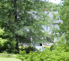 | Dr. Thomas E. Lucas House | building | 1982 | 82003848 |
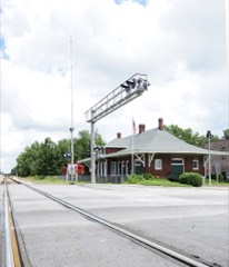 | Seaboard Air Line Railway Depot in McBee | building | 1999 | 99000103 |
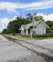 | Seaboard Air Line Railway Depot in Patrick | building | 1999 | 99000100 |
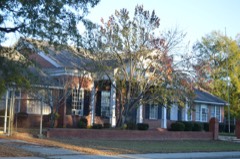 | Robert Smalls School | building | 2014 | 14000043 |
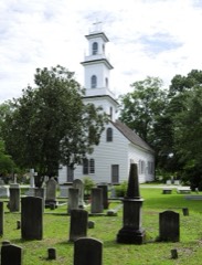 | St. David's Episcopal Church and Cemetery | building | 1971 | 71000761 |
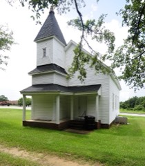 | West Main Street Historic District | district | 1982 | 82003849 |
Sampled issues, machine-read from the Library of Congress scan and published page by page, so every headline and column is searchable text.
Cheraw, South-Carolina, 1843 to 1847. Machine-read from the Library of Congress scan.
Cheraw, S.C., 1847 to 1861. Machine-read from the Library of Congress scan.
Cheraw, S.C., 1839 to 1843. Machine-read from the Library of Congress scan.
Pageland, S.C., 1911 to 1978. Machine-read from the Library of Congress scan.
Cheraw, S.C., 1896 to 2005. Machine-read from the Library of Congress scan.
Cheraw, S.C., 1835 to 1838. Machine-read from the Library of Congress scan.
Selected from the Digital Public Library of America's 4 image records catalogued for this county. Every one shown here carries a public-domain status or a licence that permits reuse on a site that carries advertising; non-commercial, share-alike and restricted images are excluded. The selection is spread across the county's towns (at most eight per town), so no single institution's bulk upload crowds out the rest. Each opens the holding library's record, and the complete set at the Digital Public Library of America is one click away.
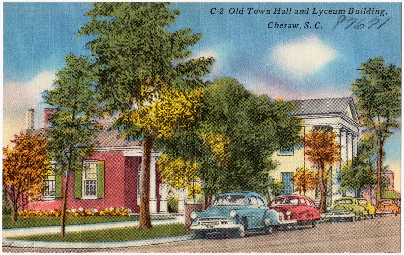
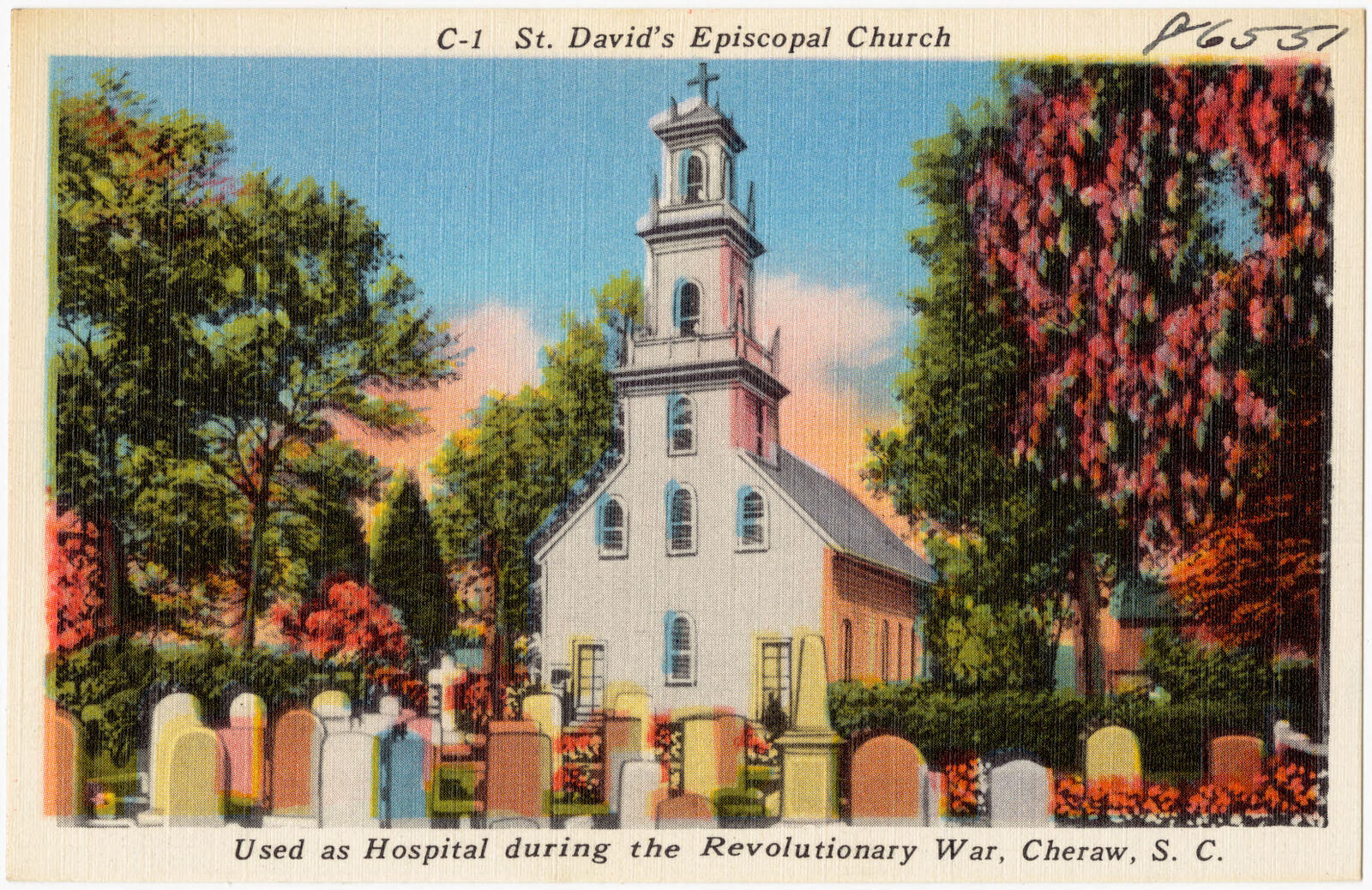
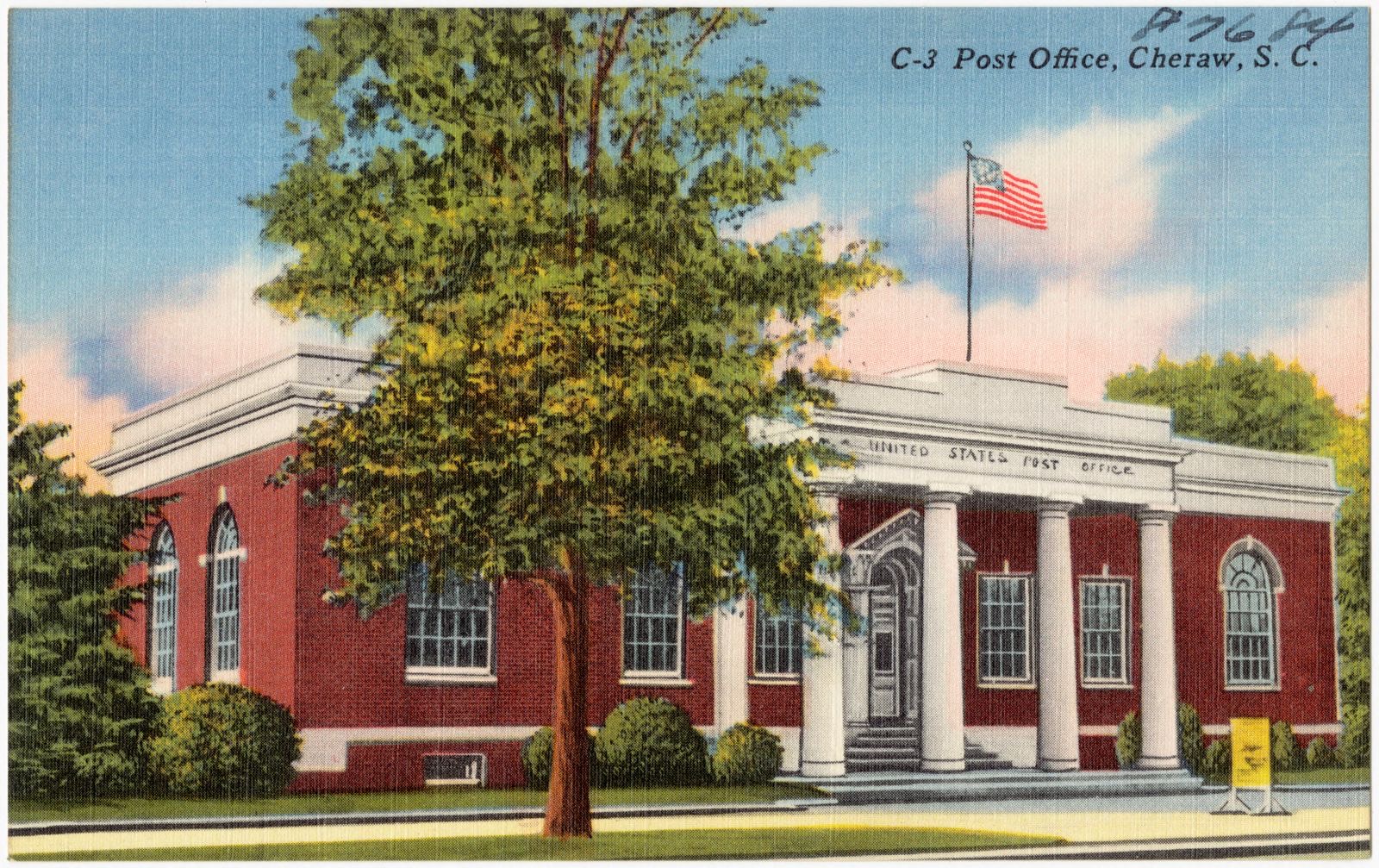
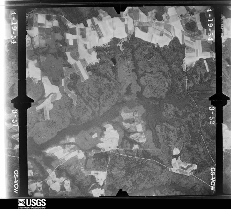
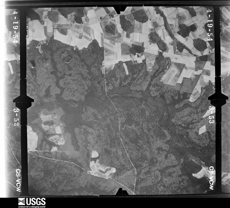
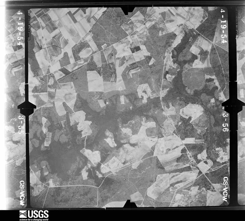
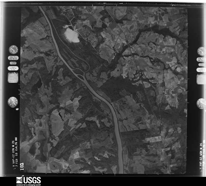
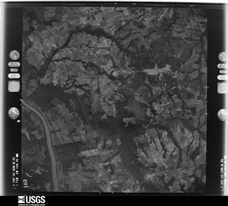
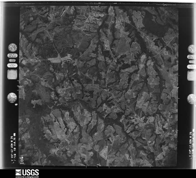
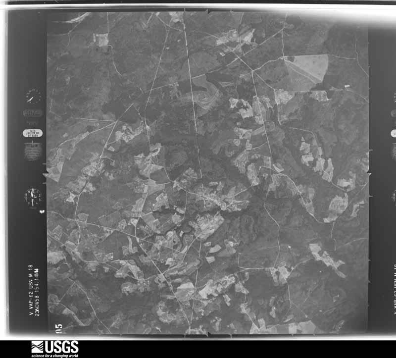
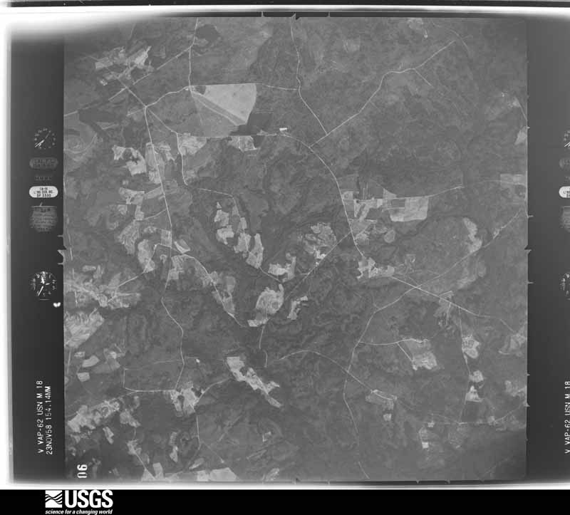
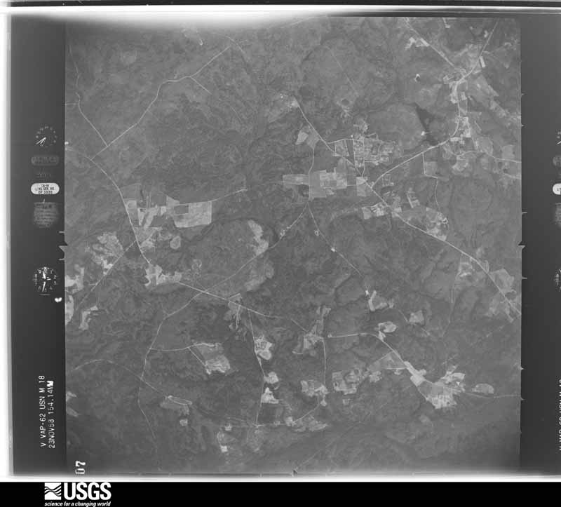
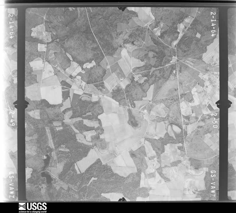
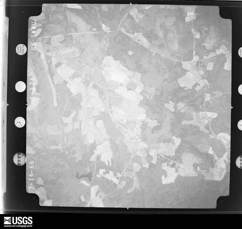
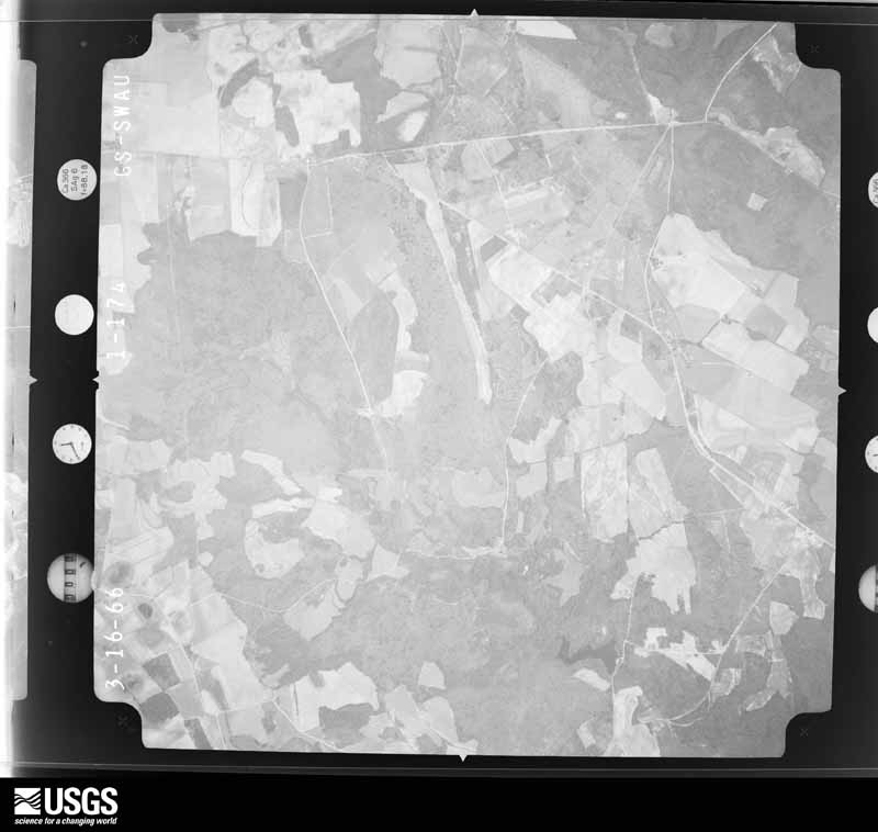
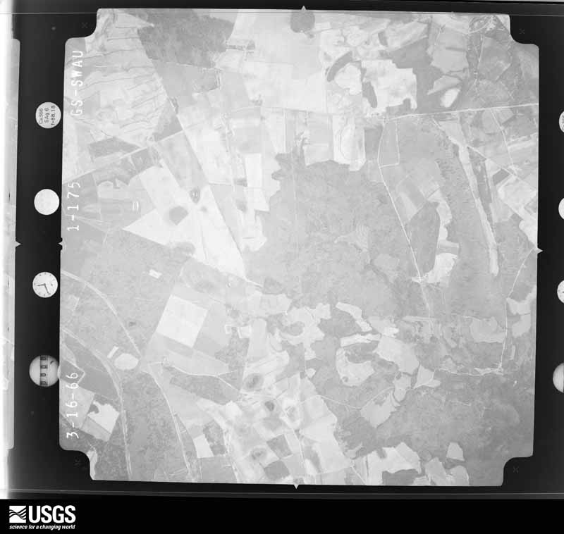
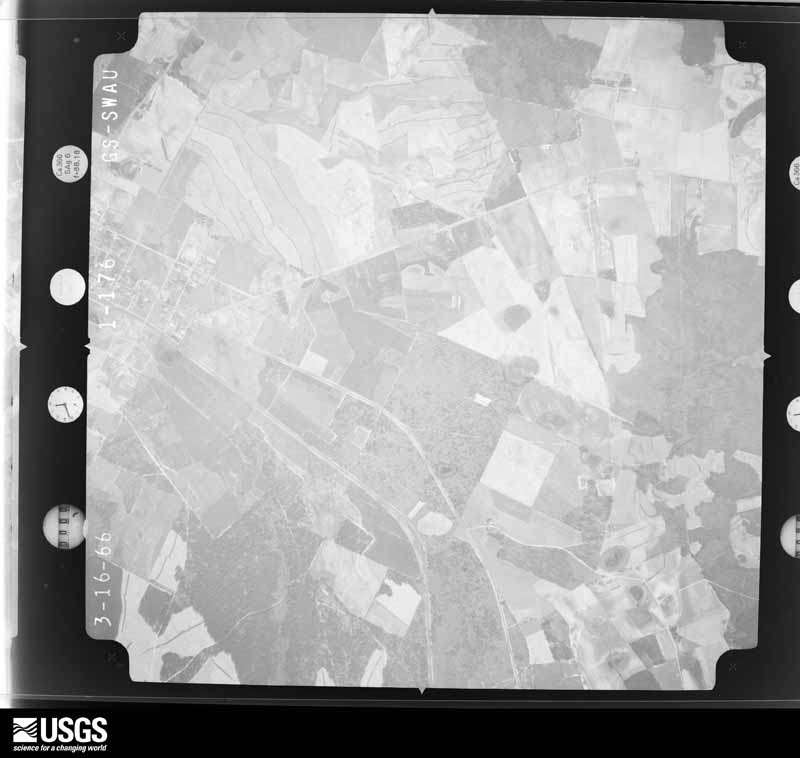
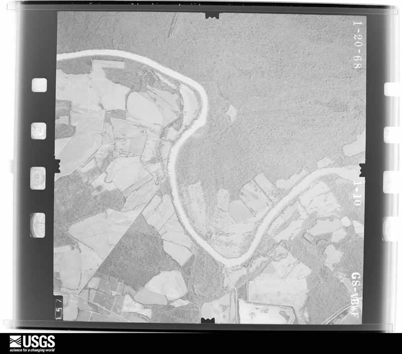
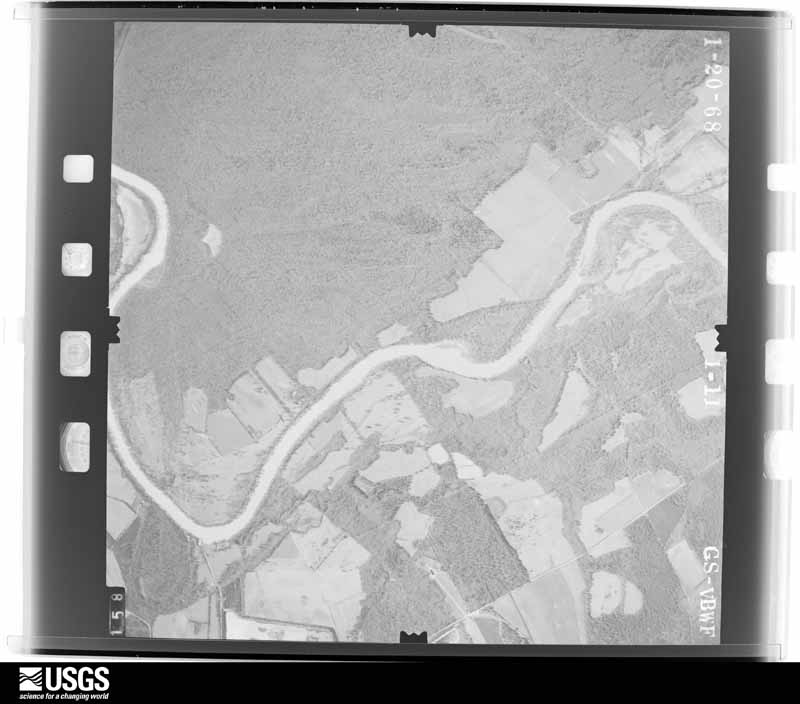
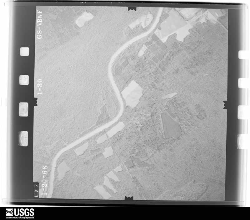
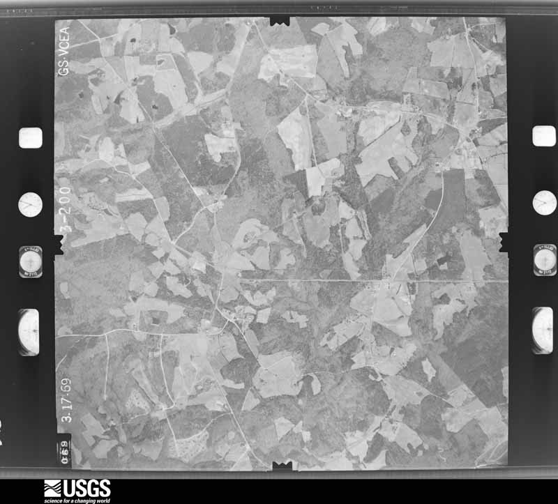
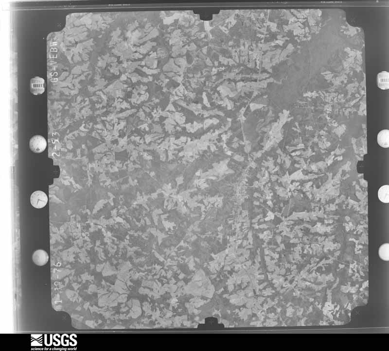
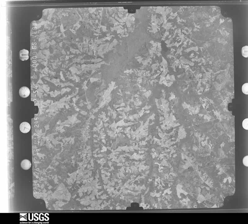
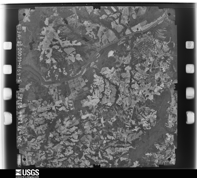
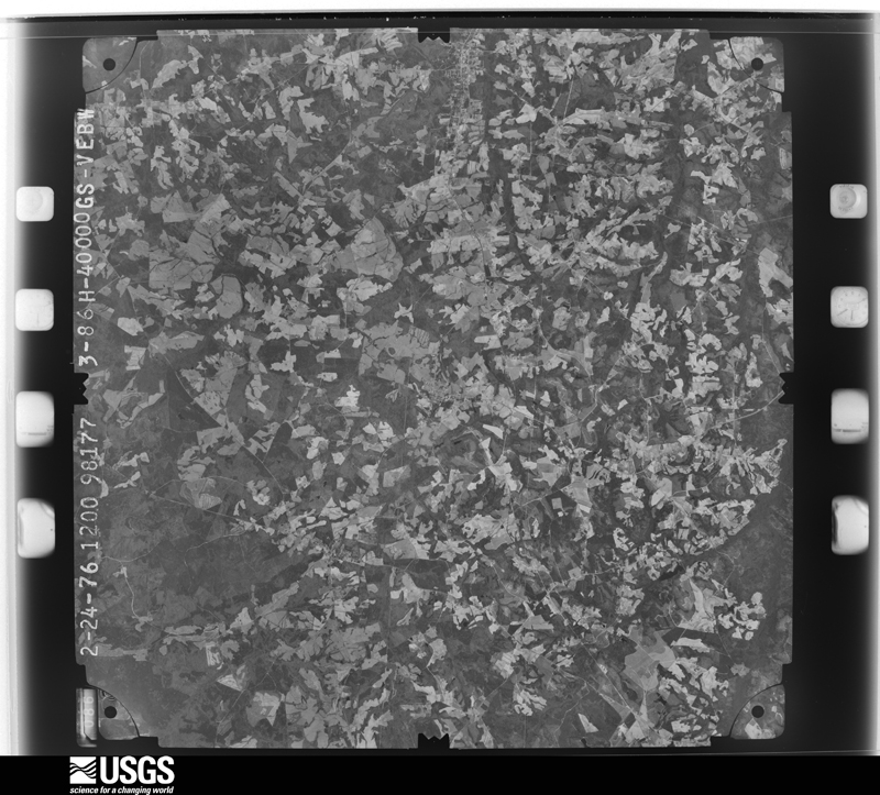
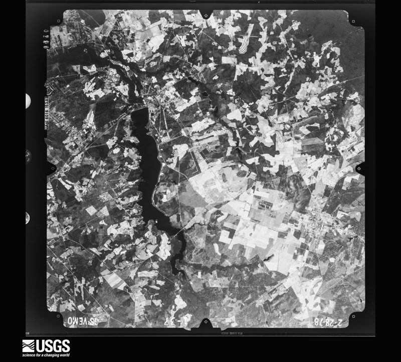
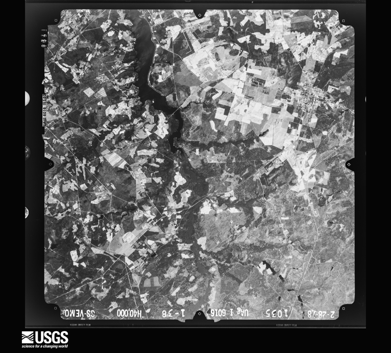
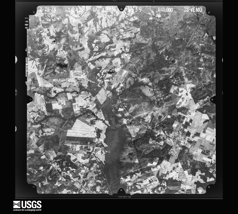
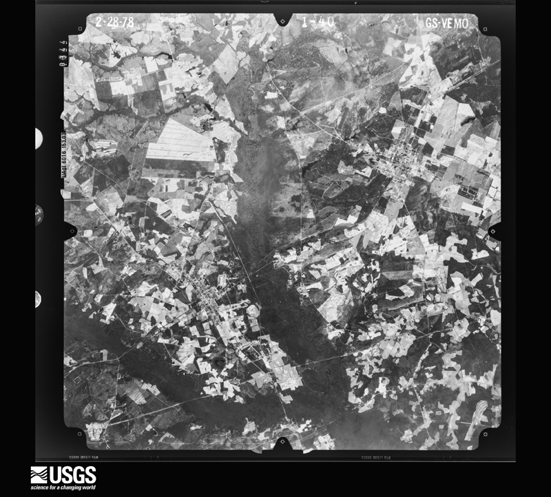
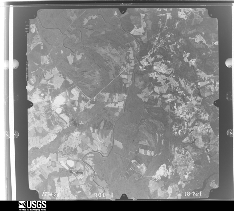
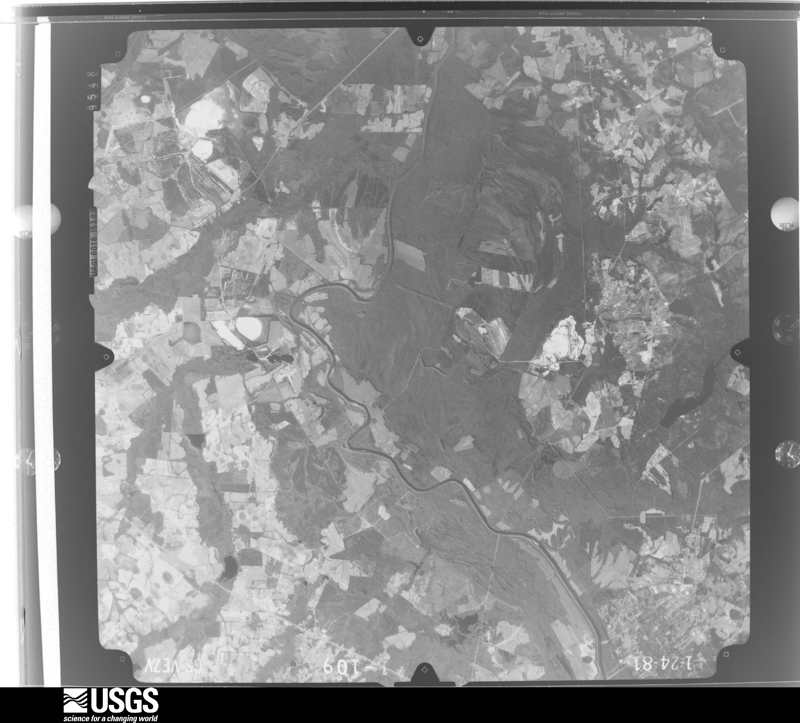
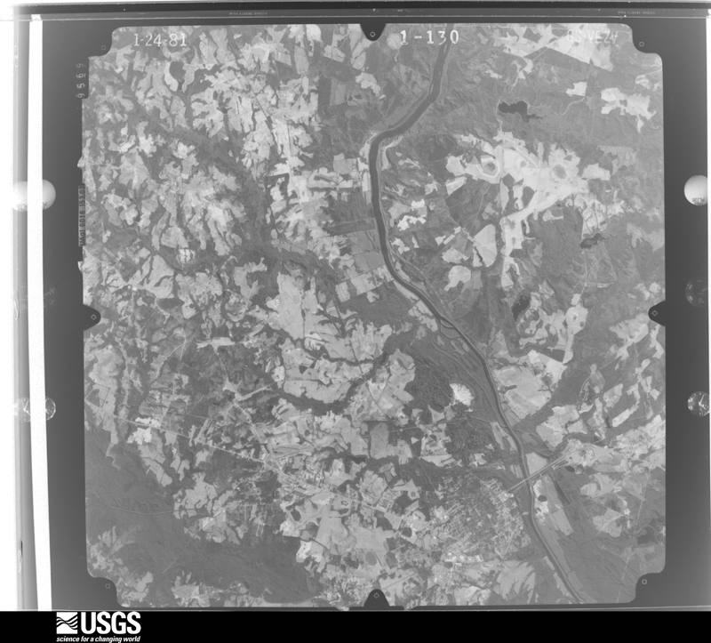
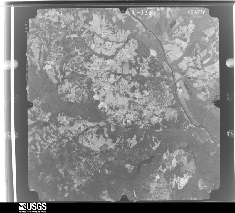
Flown by the U.S. Geological Survey between 1937 and 1989, the Aerial Photo Single Frames collection is the definitive mid-century view of the land: fields, roads and rivers as the camera saw them. The Survey holds 2,516 frames inside the rectangle that bounds this county; the 42 frames below were taken over the county itself, chosen across the decades of flights (at most four a year from that rectangle), so one flight cannot crowd out the rest. The full set is free to browse and download at EarthExplorer under the dataset Aerial Photo Single Frames.
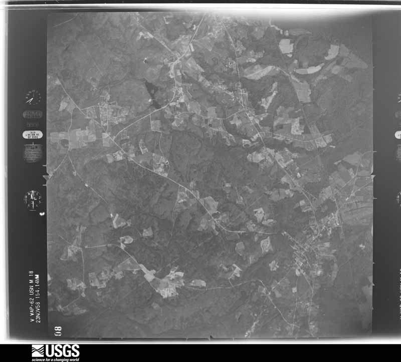
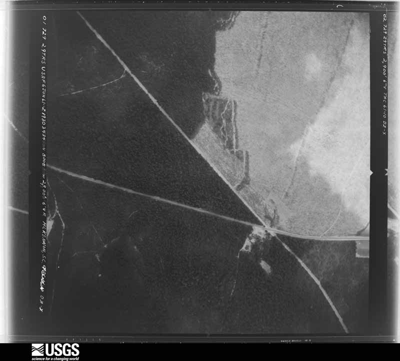
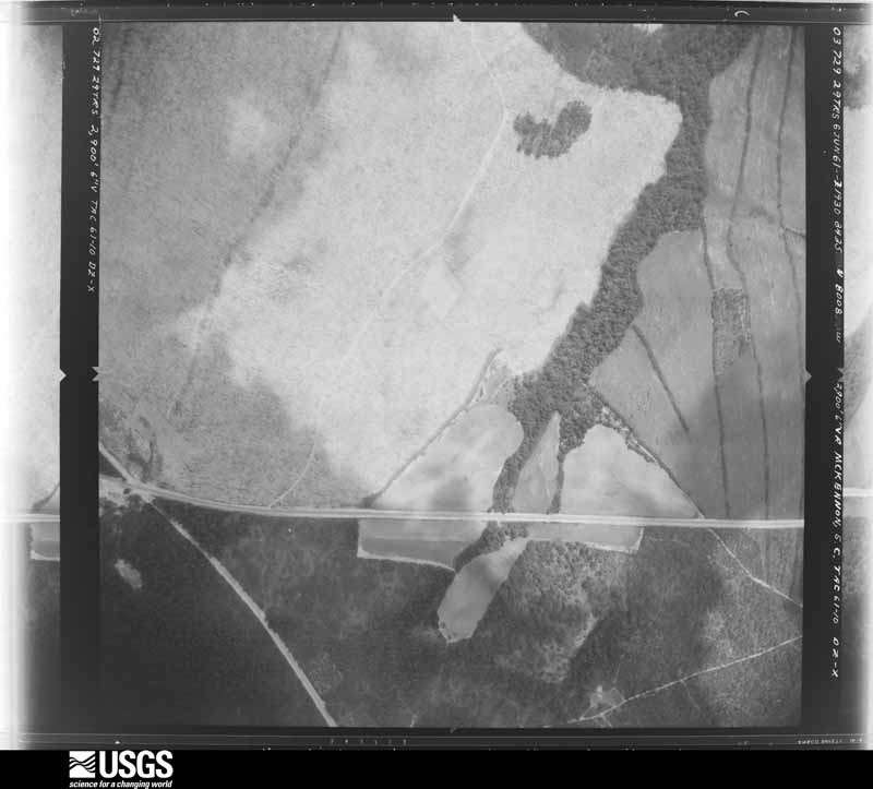
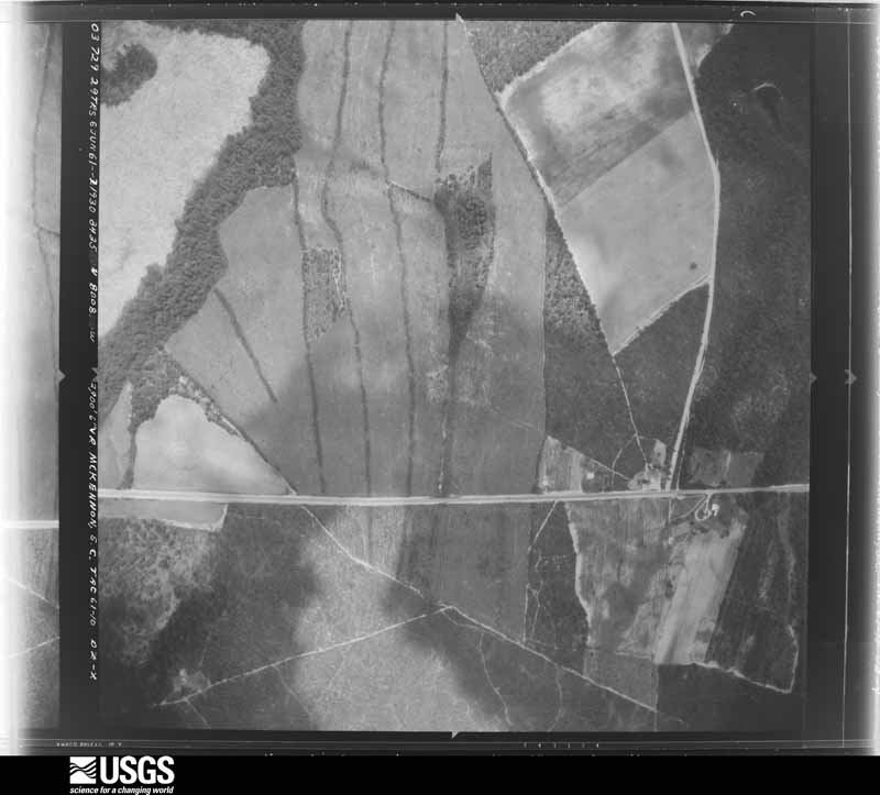
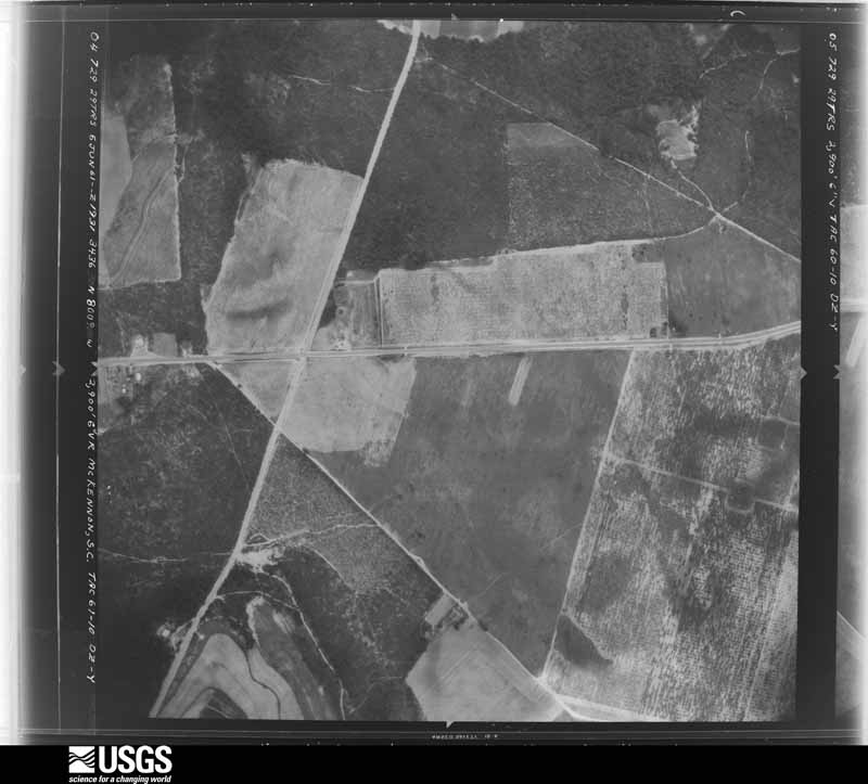
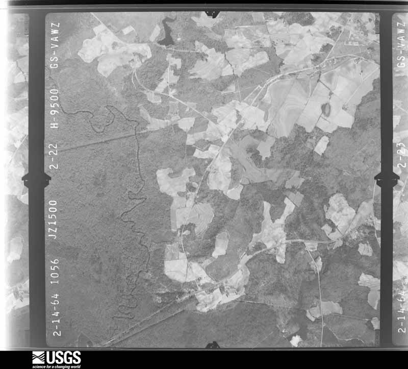
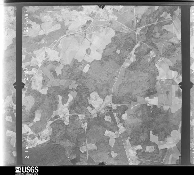
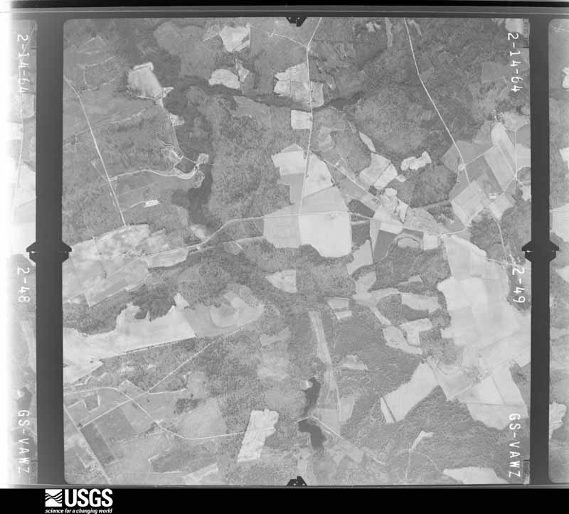
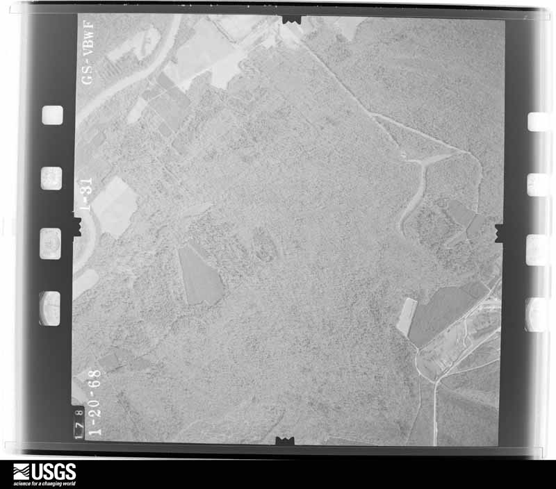
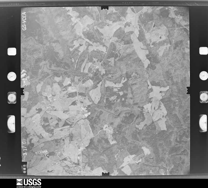
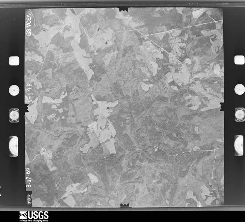
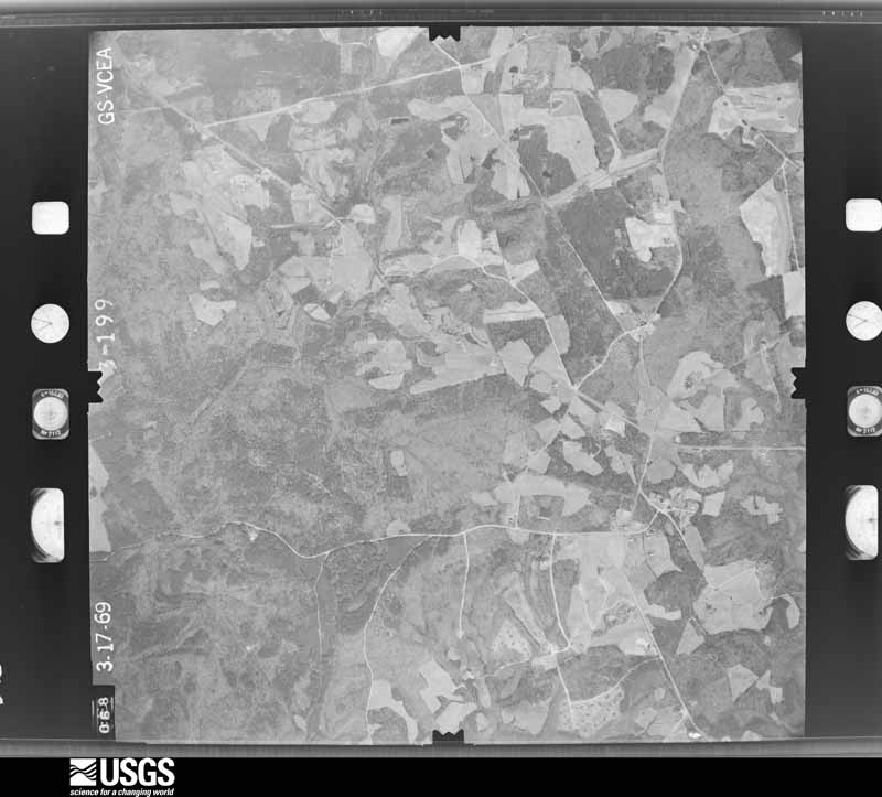
The thermometers that kept this county's weather, and the gages that measured the flow of its streams, as the federal records hold them. The extremes below are measured values from those records, not estimates.
Who lived here in 1950, one enumeration district at a time, as the Census Bureau described each district. Each row opens its official National Archives result, with Population Schedules and ED Maps available there.
Every wildfire the federal occurrence database records inside this county: 2,572 of them, burning about 16,951 acres. 137 started naturally and 278 were recorded as arson. Each settlement page carries the fires within five miles of it.
| Reported cause | Fires |
|---|---|
| Debris and open burning | 995 |
| Missing data/not specified/undetermined | 772 |
| Arson/incendiarism | 278 |
| Equipment and vehicle use | 154 |
| Natural | 137 |
| Smoking | 107 |
| Misuse of fire by a minor | 68 |
| Railroad operations and maintenance | 24 |
| Recreation and ceremony | 13 |
| Other causes | 12 |
| Fireworks | 8 |
| Power generation/transmission/distribution | 4 |
The five largest, by the area the report gives. None of them was recorded as arson.
| Date | Cause | Size | Reported by | Name on the report |
|---|---|---|---|---|
| 10 March 1993 | Missing data/not specified/undetermined | 950 acres | South Carolina Forestry Commission | not named |
| 29 March 1997 | Missing data/not specified/undetermined | 800 acres | South Carolina Forestry Commission | not named |
| 30 April 2014 | Natural | 395 acres | Carolina Sandhills National Wildlife Refuge | HUNEYCUTT |
| 12 March 2012 | Debris and open burning | 378 acres | South Carolina Forestry Commission | not named |
| 6 April 2018 | Debris and open burning | 325 acres | South Carolina Forestry Commission | MCQUEEN ROAD FIRE |
| 12 April 1996 | Missing data/not specified/undetermined | 290 acres | South Carolina Forestry Commission | not named |
| 29 August 2000 | Natural | 280 acres | Carolina Sandhills National Wildlife Refuge | OXPEN |
| 12 February 1992 | Missing data/not specified/undetermined | 179 acres | South Carolina Forestry Commission | not named |
Every settlement page carries the fires within five miles of it - see the settlement index below.
The NOAA Storm Events Database holds 454 reports for this county, causing 1 death, 71 injuries and about $29,195,790 in recorded property damage. Each settlement page carries the reports that name it.
| Kind of event | Reports |
|---|---|
| Thunderstorm Wind | 258 |
| Hail | 126 |
| Flash Flood | 38 |
| Tornado | 22 |
| Heavy Rain | 8 |
| Lightning | 2 |
The most serious of them, by death, then injury, then recorded damage. The accounts are quoted exactly as the forecast office filed them.
| When | Event | Place named | Harm | What the report says |
|---|---|---|---|---|
| June 2011 | Lightning | Ruby | 1 killed, 1 hurt | EM reported 4 people struck by lightning at a ball field in Ruby. Two adults, one refused treatment and the 26 yr old male died. Two other males, ages 10 and 19 were treated and released. |
| March 1984 | Tornado (F4) | not stated | 24 hurt, $25,000,000 | no account filed |
| April 1957 | Tornado (F4) | not stated | 16 hurt, $250,000 | no account filed |
| January 2020 | Thunderstorm Wind | Thompson | 6 hurt | A National Weather Service Storm Survey Team determined that a downburst produced straight-line wind damage approximately 5 miles north of the town of Patrick. The damage occurred on Cresthaven Rd, just off of Hunts Mill Rd, and was confined to a small area that was approximately 175 yards long by 175 yards wide. At that |location, there was a mobile home that was pushed off its supports and partially flipped, with extensive damage being done to the home. There were 6 people in the residence at the time, and they were transported to a local hospital for evaluation. Just SW of the mobile home, there was a pine tree that was broken off several feet above the ground. No other damage was found. |
| September 2004 | Tornado (F2) | Mc Bee | 5 hurt | An F2 destroyed 2 mobile homes and did moderate to severe damage to several others. Numerous trees and powerlines were down. |
| March 1991 | Tornado (F0) | not stated | 4 hurt, $250,000 | no account filed |
| August 2011 | Thunderstorm Wind | Cheraw | 4 hurt, $80,000 | Sheriff reported trees down in Cheraw... some on vehicles and some on homes. |
| November 1975 | Tornado (F1) | not stated | 3 hurt, $25,000 | no account filed |
| March 1975 | Tornado (F1) | not stated | 3 hurt, $25,000 | no account filed |
| August 2011 | Thunderstorm Wind | Chesterfield | 2 hurt, $80,000 | Emergency Manager reported trees down around the county and in the town of Chesterfield. Some trees fell on vehicles and a few on homes. A garage door was ripped off a building and blown 300 yds away. Street flooding also occurred. |
| February 1989 | Thunderstorm Wind | not stated | 1 hurt | no account filed |
| February 1989 | Thunderstorm Wind | not stated | 1 hurt | no account filed |
| June 1986 | Thunderstorm Wind | not stated | 1 hurt | no account filed |
| August 2007 | Thunderstorm Wind | Chesterfield | $1,000,000 | DOT reported several trees and road signs blow down on SC hwys 59 and 59 west to northwest of Chesterfield. |
| August 2004 | Tornado (F1) | Chesterfield | $800,000 | An F1 tornado touched down near Teal Mill Pond and continued to the Technical College just west of Cheraw. Several homes and mobile had moderate damage. One mobile home was severely damaged. Several business near Cheraw had minor to moderate damage. Several out buildings were destroyed along with a couple of camper trailers. A power substation also sustained moderate damage causing power outages in the area. Numerous trees and powerlines were down. |
| July 2005 | Thunderstorm Wind | Chesterfield | $400,000 | Several homes sustained minor damage on the east side of Chesterfield including trees down on them. A farm on hwy 9 also had minor damage from the winds. |
| February 1989 | Tornado (F0) | not stated | $250,000 | no account filed |
| September 1999 | Thunderstorm Wind | Countywide | $150,000 | EPD reported scattered trees and powerlines down. 150K in damage was done to residential and business areas. |
| July 2012 | Hail | Cheraw Muni Arpt | $50,000 | SKYWARN spotter reported golfball size hail on the northwest side of Cheraw covering the ground. |
| July 2012 | Hail | Cheraw | $50,000 | Public reported golfball size hail on the north side of Cheraw. |
| July 2005 | Lightning | Chesterfield | $50,000 | Lightning struck a home on Tavern Branch Road taking out the TV's, satellite, and computer. |
| September 2014 | Flash Flood | Pageland | $44,000 | EM reported up to 6 inches of rain fell over the whole duration of the event washing out several roads and bridges. |
| April 2011 | Hail | Mc Bee | $40,000 | McBee police reported golfball size hail. Considerable crop damage was done to the peach orchards in the area. |
| July 2012 | Hail | Rivers | $30,000 | Hail up to golfballs size with 10 percent coverage on the ground in Shiloh at Hwy 102 and Melton Road. |
| July 2012 | Hail | Rivers | $30,000 | Public reported Hen Size hail covering the ground. |
| March 2008 | Tornado (EF1) | Angelus | $25,000 | Fire Dept. reported a tornado taking down many trees and powerlines. A few mobile homes had minor damage and a water tower also sustained minor damage. |
| August 1992 | Tornado (F0) | not stated | $25,000 | no account filed |
| March 1984 | Tornado (F2) | not stated | $25,000 | no account filed |
| April 1982 | Tornado (F1) | not stated | $25,000 | no account filed |
| October 1976 | Tornado (F0) | not stated | $25,000 | no account filed |
| April 2011 | Thunderstorm Wind | Chesterfield | $24,000 | Powerlines and outages in Chesterfield on Church, Pelion, Edwards, and Converts roads. |
| July 2012 | Hail | Pageland | $20,000 | SKYWARN spotter reported Hen egg size hail covering the ground and White Plains Golf Course. |
| July 2012 | Hail | Patrick | $20,000 | Continuous quarter size hail for about a half hour covered the ground. |
| July 2012 | Hail | Chesterfield | $20,000 | Public reported golfball size hail along Hwy 20. |
| August 2015 | Thunderstorm Wind | Kimberly | $18,000 | EM reported trees down at Tec Road and West Market Street Extension...some of which fell on a couple buildings doing minor damage. |
| June 2010 | Thunderstorm Wind | Chesterfield | $18,000 | Fire Dept. reported large limbs down, trees down, and a roof tore off of a chicken house in Brocks Mill Community. |
| July 2012 | Thunderstorm Wind | Patrick | $16,000 | Sheriff dispatch reported a tree down on a house and powerlines across Cedar Creek Road near Hwy 102. |
| July 2012 | Hail | Pageland | $15,000 | SKYWARN spotter reported golfball size hail at Kirkley Road and Peach Orchard Road. |
| June 2014 | Thunderstorm Wind | Chesterfield | $12,000 | Dispatch reported numerous trees and powerlines down in and around the town of Chesterfield. Hail of unknown size was also reported. |
| July 2012 | Thunderstorm Wind | Pageland | $12,000 | SKYWARN Spotter follow-up to previous report... a church on Airport road across from Central High School has a partially destroyed roof. Winds were estimated to be 65 mph. |
| October 2016 | Flash Flood | Cheraw | $10,000 | SCDOT reported Old Cash Road near Juniper Road closed due to flooding. They also reported a roadway washout along Songbird Road between Teals Mill Road and Bear Creek Road. |
| February 2012 | Thunderstorm Wind | Mc Bee | $10,000 | Electric company reported a couple of trees and powerlines down from Wire Road to McBee on hwy 147. |
| July 2012 | Hail | Patrick | $10,000 | Public reported quarter size hail just south of Patrick. |
| April 2011 | Hail | Ingrams | $10,000 | Local farmer reported hail damage to his strawberry fields and peaches knocked off trees. |
| April 2011 | Hail | Angelus | $10,000 | Pbulic reported hail up to golfball size at the EZ Quick mart. |
| July 2010 | Thunderstorm Wind | Ruby | $10,000 | Electric COOP reported trees and powerlines down in Ruby and surrounding areas. |
| December 2009 | Flash Flood | Dudley | $10,000 | Sheriff departments in Lancaster, Chesterfield, Kershaw, and Fairfield counties reported considerable flash flooding in portions of their counties. Many streams were overflowing roads, bridges, and flooding low lying areas. |
| June 2015 | Thunderstorm Wind | Mc Bee | $8,000 | Public reported a metal roof blown off a green house along with some structural damage. |
| April 2012 | Thunderstorm Wind | Chesterfield | $8,000 | Chesterfielde County Sheriff reported trees down on powerlines in the city of Chesterfield. |
| July 2012 | Thunderstorm Wind | Chesterfield | $8,000 | Sheriffs office reported trees and powerlines down in the town of Chesterfield. |
| September 2012 | Flash Flood | Jefferson | $8,000 | EM reported flooded roads with closures on the west end of the county between Jefferson and Pageland. |
| April 2011 | Thunderstorm Wind | Pageland | $8,000 | Public reported a metal roof peeled off a horse stall and multiple trees down. |
| April 2011 | Thunderstorm Wind | Mc Bee | $8,000 | Public reported power outages across the area. |
| August 1997 | Thunderstorm Wind | Patrick | $8,000 | Postal employee reported trees down on SC Highway 80. Shutters and shingles were blown off one home. |
| December 2015 | Flash Flood | Cheraw | $7,000 | County EM reported a few roads closed due to flash flooding including the U.S. 52 bypass in Cheraw. |
| August 2015 | Thunderstorm Wind | Ruby | $6,000 | Sheriff reported trees down near Ruby. |
| January 2013 | Thunderstorm Wind | Pageland | $6,000 | DOT reported several trees down in the Pageland area. |
| July 2012 | Thunderstorm Wind | Jefferson | $6,000 | SKYWARN spotter reported numerous trees and powerlines down along Hwy 265 between Jefferson and Cheraw. |
| July 2012 | Thunderstorm Wind | Pageland | $6,000 | SKYWARN spotter reported trees down in Pageland. |
| July 2012 | Thunderstorm Wind | Mc Bee | $6,000 | DOT reported trees down along SC145, US1, and Crossroads Church Hwy. |
The Survey's mineral resources record lists 104 workings inside this county. 15 still produce and 89 are closed or unrecorded. Each settlement page carries the workings within five miles of it.
| Commodity | Workings |
|---|---|
| Sand and Gravel, Construction | 47 |
| Clay | 27 |
| Gold | 15 |
| Stone, Crushed/Broken | 3 |
| Sand | 3 |
| Iron, Zirconium, Thorium, Titanium | 2 |
| Titanium, Iron | 2 |
| Iron, Thorium, Zirconium, Titanium | 1 |
| Copper, Silver | 1 |
| Pyrite, Kyanite, Tin, Molybdenum | 1 |
| Stone, Dimension | 1 |
| Granite, Stone, Dimension | 1 |
| Kyanite | 1 |
| Silver | 1 |
The least common of them first, because a county's hundredth gravel pit says nothing its first ten did not.
| Where | Site | Commodity | Status | Recorded |
|---|---|---|---|---|
| Brewer Gold Mine | Gold, Silver | Plant | 1828 | |
| Brewer Mine | Gold, Copper, Silver, Pyrite, Kyanite, Tin, Molybdenum | Unknown | 1828, 1844, 1992 | |
| Evans Mill | Stone, Dimension | Past Producer | Igneous Intrusion | |
| Juniper Creek | Iron, Thorium, Zirconium, Titanium | Unknown | Placer , Modern , Fluvial | |
| R H Sowell Prospect | Manganese, Iron | Occurrence | ||
| Topaz Mine Near Brewer Mine | Kyanite | Prospect | ||
| Unnamed Dimension Stone, | Granite, Stone, Dimension | Past Producer | Igneous | |
| Becker Sand and Gravel Co. | Iron, Zirconium, Thorium, Titanium | Unknown | Magnetite, Monazite, Zircon, Rutile, Ilmenite | |
| Cedar Creek | Iron, Zirconium, Thorium, Titanium | Unknown | Placer , Modern , Fluvial | |
| Harris Creek | Titanium, Iron | Unknown | Placer , Modern , Fluvial | |
| Thompson Creek | Titanium, Iron | Unknown | Placer , Modern , Fluvial | |
| Jefferson Plant | Stone, Crushed/Broken | Producer | Igneous | |
| Jefferson Quarry | Stone, Crushed/Broken | Producer | ||
| Oro Quarry | Stone, Crushed/Broken | Past Producer | Igneous | |
| Pageland Sand Mine #2 | Sand | Unknown | Sedimentary | |
| Williams Sand | Sand | Unknown | Sedimentary | |
| Williams Sand | Sand | Unknown | Sedimentary | |
| Edgeworth and Brewer Mine | Gold | Past Producer | ||
| Edgeworth and Brewer Mine | Gold | Past Producer | ||
| Edgeworth-Brewer Mine | Gold | Unknown | 1856 | |
| Gregory Mine | Gold | Past Producer | ||
| Hendrix Mine | Gold | Unknown | 1856 | |
| Hendrix Prospect | Gold | Prospect | ||
| Hinson Prospect | Gold | Occurrence | Gold | |
| Kirkley Mine | Gold | Unknown | Vein | |
| Kirkley Mine | Gold | Past Producer | ||
| Leach Mine | Gold | Past Producer | ||
| Leach Mine | Gold | Past Producer | ||
| Oro Mine | Gold | Unknown | Stratabound Discordant | |
| Placer Mine | Gold | Past Producer | ||
| Cheraw Pit East | Clay | Unknown | Sedimentary | |
| Cheraw Pit East | Clay | Past Producer | ||
| Cheraw Pit West | Clay | Unknown | Sedimentary | |
| Cheraw Pit West | Clay | Past Producer | ||
| Chesterfield Pit | Clay | Unknown | Sedimentary | |
| Chesterfield Pit | Clay | Past Producer | ||
| Chesterfield Pit | Clay | Past Producer | ||
| Furr Clay Mine | Clay | Past Producer | Sedimentary | |
| Furr Pits | Clay | Producer | ||
| Palmetto Pit | Clay | Unknown | Sedimentary | |
| Patrick Pit | Clay | Unknown | Sedimentary | |
| Patrick Pit | Clay | Past Producer | ||
| Paver Mine | Clay | Unknown | 1983 | |
| Unidentified Clay Mine | Clay | Past Producer | Sedimentary | |
| Unidentified Clay Mine | Clay | Past Producer | Sedimentary | |
| Unidentified Clay Mine | Clay | Unknown | Sedimentary | |
| Unidentified Clay Mine | Clay | Past Producer | Sedimentary | |
| Unidentified Clay Mine | Clay | Unknown | Sedimentary | |
| Unidentified Clay Mine | Clay | Past Producer | Sedimentary | |
| Unidentified Clay Mine | Clay | Past Producer | Sedimentary | |
| Unidentified Clay Mine | Clay | Past Producer | Sedimentary | |
| Unidentified Clay Mine | Clay | Past Producer | Sedimentary | |
| Unidentified Shale Mine | Clay | Past Producer | Metamorphic | |
| Unidentified Shale Mine | Clay | Past Producer | Metamorphic | |
| Unidientified Clay Mine | Clay | Past Producer | Sedimentary | |
| Unnamed Clay Pit | Clay | Past Producer | Metamorphic | |
| Winburn | Clay | Unknown | Sedimentary | |
| Asphalt Plant No 10 | Sand and Gravel, Construction | Producer | Sedimentary | |
| Brewer Sand Co., Inc Pit No.1 | Sand and Gravel, Construction | Unknown | Sedimentary | |
| Brewer Sand Co., Inc. Pit No. 2 | Sand and Gravel, Construction | Producer | Sedimentary | |
| C.E. Horton Sand Mine | Sand and Gravel, Construction | Unknown | Sedimentary | |
| Cash Mine | Sand and Gravel, Construction | Producer | ||
| Cash Mine | Sand and Gravel, Construction | Producer | ||
| Cash Plant | Sand and Gravel, Construction | Past Producer | Sedimentary | |
| Chesterfield County Pit | Sand and Gravel, Construction | Producer | ||
| Chesterfield Pit | Sand and Gravel, Construction | Past Producer | ||
| Dickerson Pageland Sand Pit No.2 | Sand and Gravel, Construction | Past Producer | Sedimentary | |
| Fairview Mine | Sand and Gravel, Construction | Unknown | Sedimentary | |
| Fairview Mine | Sand and Gravel, Construction | Past Producer | ||
| Fairview Mines | Sand and Gravel, Construction | Producer | ||
| Lowry Pit | Sand and Gravel, Construction | Past Producer | ||
| Lowry's Gravel Service | Sand and Gravel, Construction | Unknown | Sand | |
| Pageland Mill | Sand and Gravel, Construction | Unknown | Sedimentary | |
| Pageland Mill 1 | Sand and Gravel, Construction | Producer | ||
| Pageland Mine | Sand and Gravel, Construction | Producer | ||
| Pageland Pit | Sand and Gravel, Construction | Unknown | Sedimentary | |
| Pageland Pit | Sand and Gravel, Construction | Unknown | Sedimentary | |
| Pee Dee Mine | Sand and Gravel, Construction | Producer | Sedimentary | |
| Plant Number 10 | Sand and Gravel, Construction | Unknown | Sedimentary | |
| Plant Number 10 | Sand and Gravel, Construction | Producer | ||
| Robert Helms Sand and Stone Co | Sand and Gravel, Construction | Unknown | Sedimentary | |
| Roddy W Outen Pit | Sand and Gravel, Construction | Producer | ||
| Unidentified Gravel Mine | Sand and Gravel, Construction | Unknown | Sedimentary | |
| Unidentified Gravel Mine | Sand and Gravel, Construction | Unknown | Sedimentary | |
| Unidentified Sand Mine | Sand and Gravel, Construction | Past Producer | Sedimentary | |
| Unidentified Sand Mine | Sand and Gravel, Construction | Unknown | Sedimentary | |
| Unidentified Sand Mine | Sand and Gravel, Construction | Unknown | Sedimentary | |
| Unidentified Sand Mine | Sand and Gravel, Construction | Unknown | Sedimentary | |
| Unidentified Sand Mine | Sand and Gravel, Construction | Unknown | Sedimentary | |
| Unidentified Sand Mine | Sand and Gravel, Construction | Unknown | Sedimentary | |
| Unidentified Sand Mine | Sand and Gravel, Construction | Unknown | Sedimentary | |
| Unidentified Sand Mine | Sand and Gravel, Construction | Unknown | Sedimentary | |
| Unidentified Sand Mine | Sand and Gravel, Construction | Unknown | Sedimentary | |
| Unidentified Sand Mine | Sand and Gravel, Construction | Past Producer | 1981 | |
| Unidentified Sand Mine | Sand and Gravel, Construction | Unknown | Sedimentary | |
| Unidentified Sand Mine | Sand and Gravel, Construction | Unknown | Sedimentary | |
| Unidentified Sand Mine | Sand and Gravel, Construction | Unknown | Sedimentary | |
| Unidentified Sand Pit | Sand and Gravel, Construction | Unknown | Sedimentary | |
| Watts Mine | Sand and Gravel, Construction | Unknown | 1981 | |
| Williams Sand Company Mine | Sand and Gravel, Construction | Unknown | Sedimentary |
Named settlements recorded in the Geographic Names Information System, each with the topographic sheets covering it. Villages, hamlets and abandoned places alike. Each is shown with the nearest named watercourse or landform and the survey quadrangle it falls on. The 2 places that were also surveyed for fire insurance come first, with the number of atlases and photographs held for them.
Cheraw census division · 29520 · On Huckleberry Branch · Cheraw quadrangle
8 sheets, 1942 to 1983
Fire insurance: 10 atlases
Chesterfield census division · 29709 · On Tavern Branch · Chesterfield quadrangle
12 sheets, 1941 to 1986
Fire insurance: 2 atlases
Jefferson census division · 29718 · On Little Rocky Creek · Angelus quadrangle
12 sheets, 1941 to 1986
Patrick census division · 29584 · On Rogers Branch · Middendorf quadrangle
12 sheets, 1941 to 1986
Patrick census division · 29709 · On Cross Branch · Chesterfield quadrangle
12 sheets, 1941 to 1986
Cheraw census division · 29520 · On Little Westfield Creek · Morven East quadrangle
10 sheets, 1942 to 1983
Chesterfield census division · 29741 · On Skipper Creek · Ruby quadrangle
12 sheets, 1941 to 1986
Jefferson census division · 29718 · On Rocky Creek · Angelus quadrangle
12 sheets, 1941 to 1986
Chesterfield census division · 29709 · On Tavern Branch · Chesterfield quadrangle
12 sheets, 1941 to 1986
No longer a settlement
Pageland census division · 29728 · On Mangum Branch · Pageland quadrangle
13 sheets, 1941 to 1986
Pageland census division · 29728 · On Dead Pine Creek · Pageland quadrangle
13 sheets, 1941 to 1986
Jefferson census division · 29728 · On Mangum Branch · Jefferson NE quadrangle
13 sheets, 1941 to 1986
Cheraw census division · 29520 · Cheraw quadrangle
8 sheets, 1942 to 1983
No longer a settlement
Cheraw census division · 29520 · On Beaver Creek · Cheraw quadrangle
8 sheets, 1942 to 1983
Patrick census division · 29584 · Cheraw quadrangle
8 sheets, 1942 to 1983
No longer a settlement
Patrick census division · 29550 · On Big Beaverdam Creek · Lake Robinson quadrangle
15 sheets, 1941 to 1986
Mount Croghan census division · 29728 · On Stone House Creek · Hornsboro quadrangle
13 sheets, 1941 to 1986
Patrick census division · 29709 · On Rocky Prong · Chesterfield quadrangle
12 sheets, 1941 to 1986
Patrick census division · 29584 · On Rocky Prong · Chesterfield quadrangle
12 sheets, 1941 to 1986
No longer a settlement
Jefferson census division · 29718 · On Meeting House Branch · Jefferson quadrangle
12 sheets, 1941 to 1986
McBee census division · 29101 · Angelus quadrangle
12 sheets, 1941 to 1986
No longer a settlement
Cheraw census division · 29520 · On Beaver Creek · Cheraw quadrangle
8 sheets, 1942 to 1983
Cheraw census division · 29520 · Morven East quadrangle
10 sheets, 1942 to 1983
No longer a settlement
Mount Croghan census division · 29741 · On Hogpen Branch · Ruby quadrangle
12 sheets, 1941 to 1986
Pageland census division · 29728 · Hornsboro quadrangle
13 sheets, 1941 to 1986
No longer a settlement
Mount Croghan census division · 29727 · On Mill Branch · Hornsboro quadrangle
13 sheets, 1941 to 1986
Mount Croghan census division · 29709 · On Talton Branch · Mount Croghan quadrangle
13 sheets, 1941 to 1986
Cheraw census division · 29520 · On Beaver Creek · Cheraw quadrangle
8 sheets, 1942 to 1983
No longer a settlement
Patrick census division · 29550 · On Little Alligator Creek · Middendorf quadrangle
12 sheets, 1941 to 1986
Cheraw census division · 29520 · On Juniper Creek · Wallace quadrangle
9 sheets, 1942 to 1983
Mount Croghan census division · 29727 · On Mill Branch · Mount Croghan quadrangle
13 sheets, 1941 to 1986
Patrick census division · 29584 · On Mill Creek · Patrick quadrangle
12 sheets, 1941 to 1986
Chesterfield census division · 29709 · On Abrams Creek · Chesterfield quadrangle
12 sheets, 1941 to 1986
No longer a settlement
Cheraw census division · 29520 · On Goodmans Creek · Cheraw quadrangle
8 sheets, 1942 to 1983
Mount Croghan census division · 29741 · On Hogpen Branch · Ruby quadrangle
12 sheets, 1941 to 1986
Chesterfield census division · 29709 · On Mash Branch · Chesterfield quadrangle
12 sheets, 1941 to 1986
McBee census division · 29101 · Lake Robinson quadrangle
15 sheets, 1941 to 1986
No longer a settlement
Cheraw census division · 29520 · On Sixmile Creek · Cheraw quadrangle
8 sheets, 1942 to 1983
No longer a settlement
Chesterfield census division · 29741 · On Talton Branch · Mount Croghan quadrangle
13 sheets, 1941 to 1986
Pageland census division · 29718 · On Reedy Fork · Jefferson quadrangle
12 sheets, 1941 to 1986
Cheraw census division · 29520 · On Wilson Branch · Cheraw quadrangle
8 sheets, 1942 to 1983
Pageland census division · 29728 · Tradesville quadrangle
12 sheets, 1941 to 1986
The vanished settlements of Chesterfield County: the places named above that are no longer on the map.
8 topographic sheets and 10 fire insurance atlases, 1884 to 1949
12 topographic sheets and 2 fire insurance atlases, 1926 to 1949
The complete index, with nothing left out. Each of these is a separate record with its own page: a federal survey report, or the case file that argued a property on to the National Register. Both are public domain and reproduced word for word.
The vanished settlements of Chesterfield County, the places these records name that are no longer on the map.