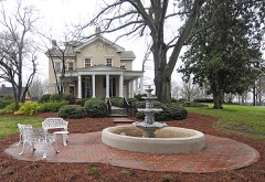
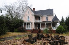
Block
From the record
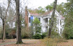
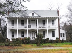
26 National Register listings published here.
Sources: the National Register database, National Park Service
47 topographic sheets and 18 fire insurance atlases across 2 places.
26 National Register listings published here.
Sources: the National Register database, National Park Service
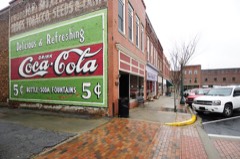
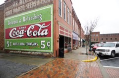
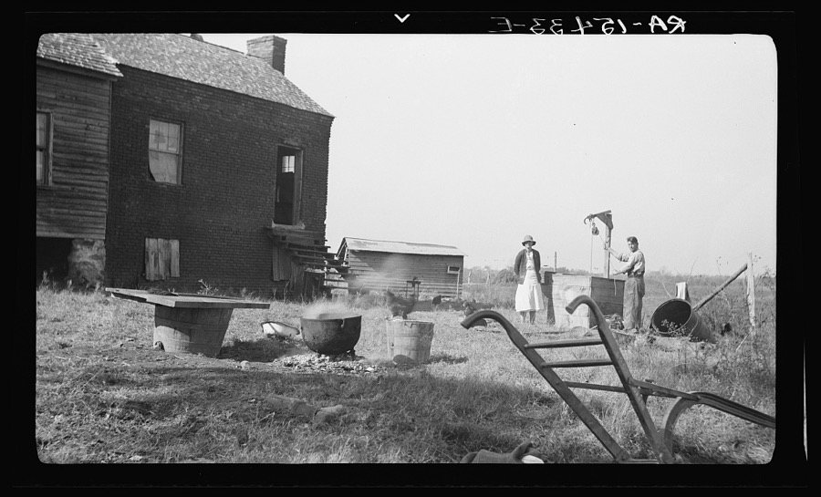
Taken for the Office of War Information and the Farm Security Administration, who photographed the country between 1935 and 1944. Works of United States government photographers, with no known restriction on use. Each opens its catalogue record.
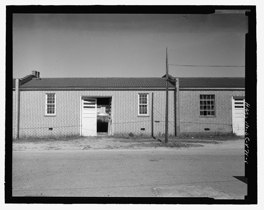
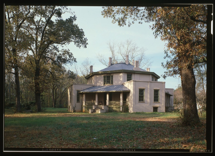
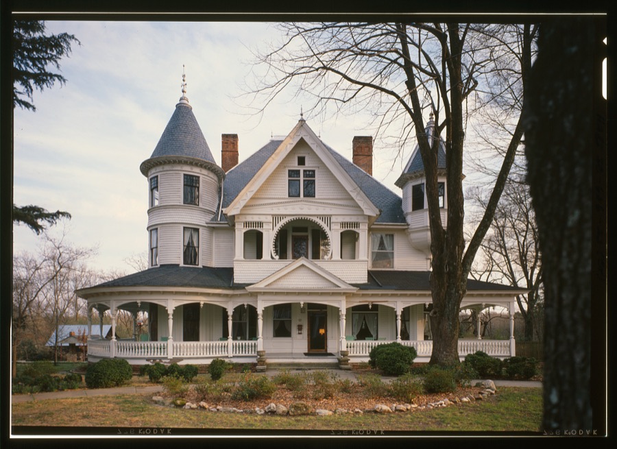
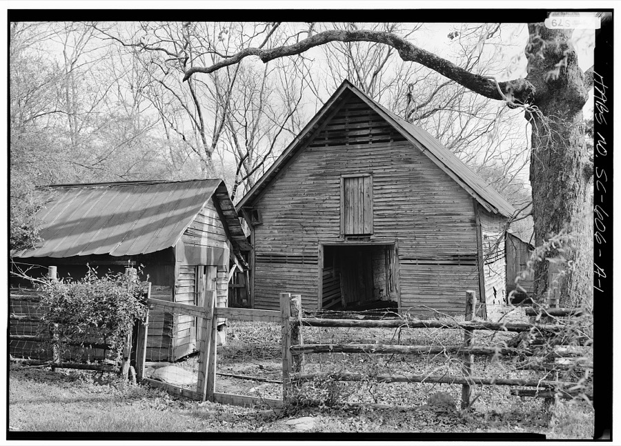
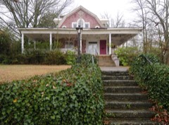
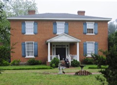
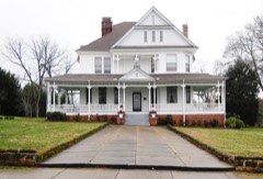
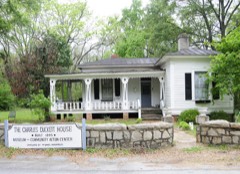
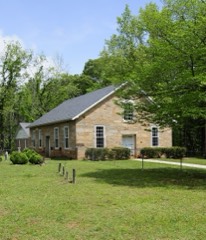
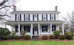
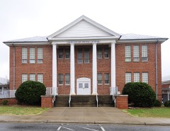
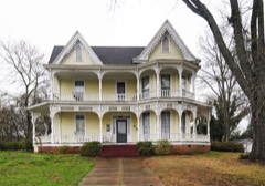
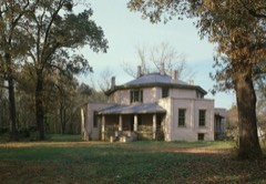
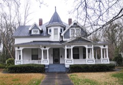
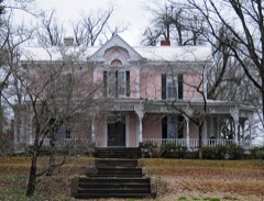
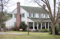
Every property in this county listed on the National Register of Historic Places, with the year it was listed and the federal nomination document.
Sampled issues, machine-read from the Library of Congress scan and published page by page, so every headline and column is searchable text.
Laurens, S.C., 1885 to 1973. Machine-read from the Library of Congress scan.
Drawn when these were printed as single large sheets: the town seen from the air, and the county divided into its farms with every owner named. Each opens the original at the Library of Congress.
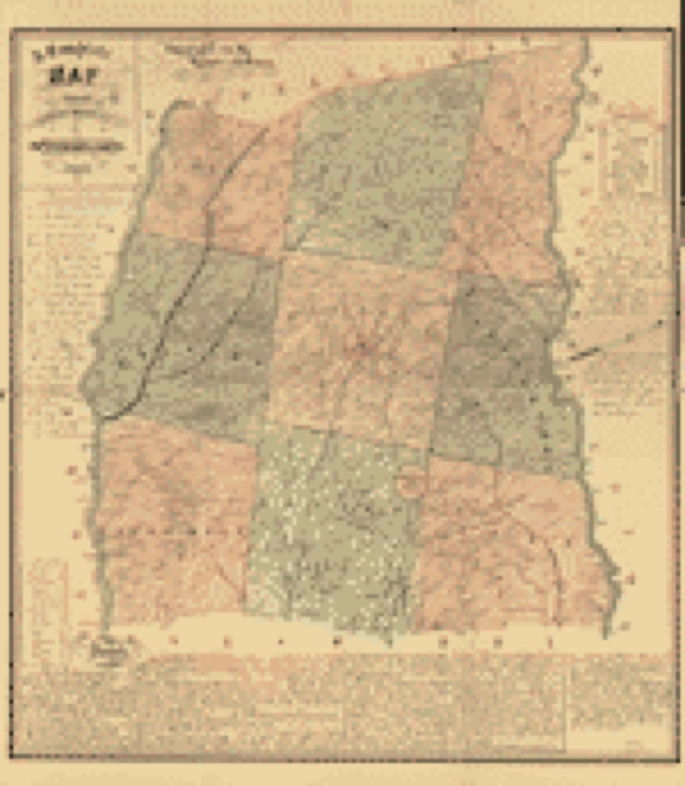
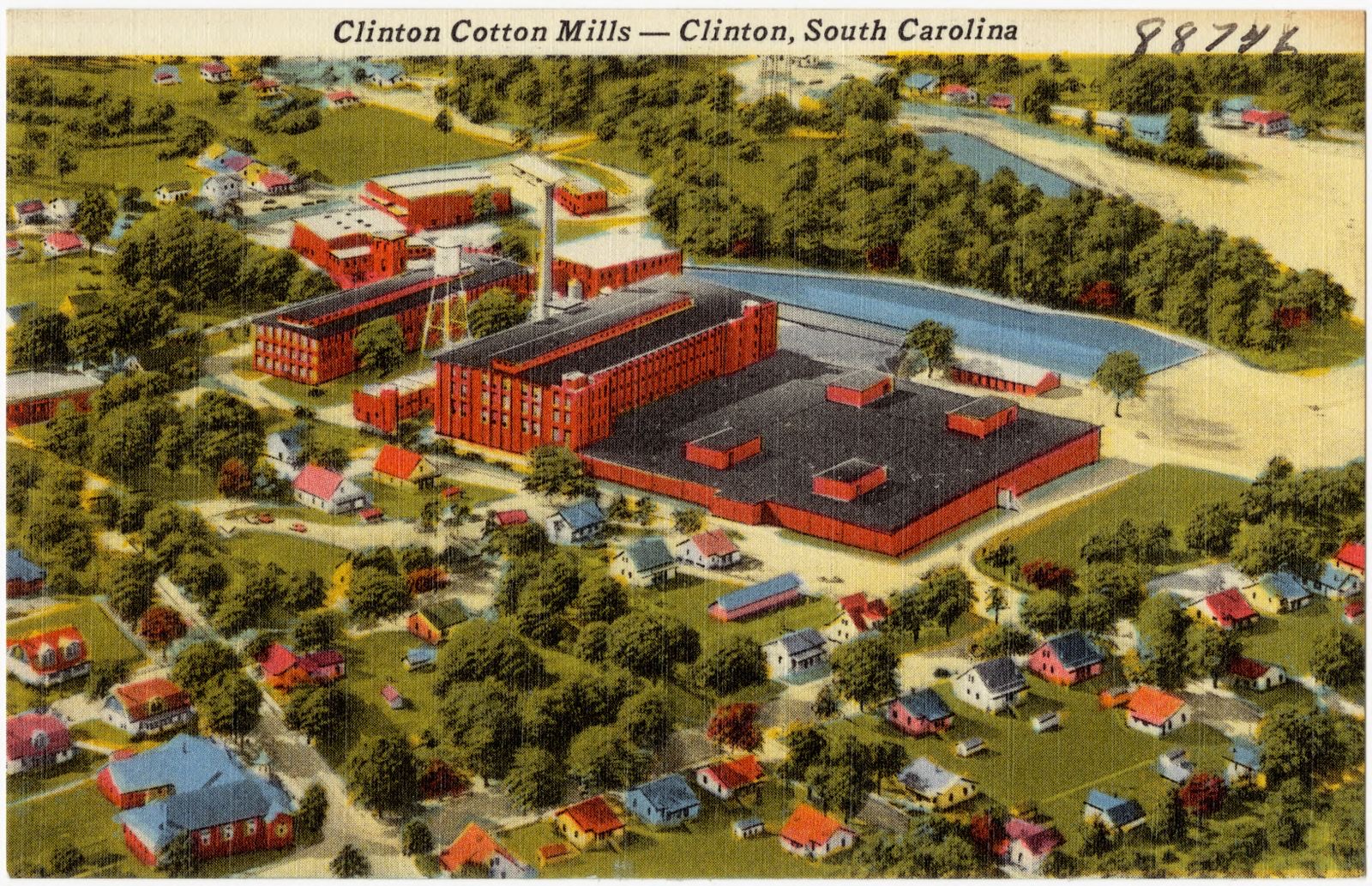
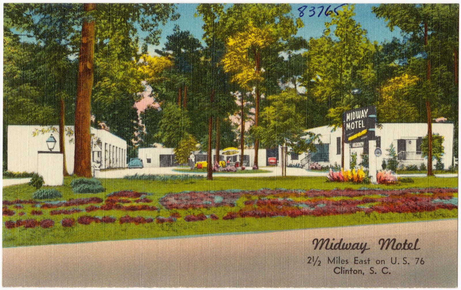
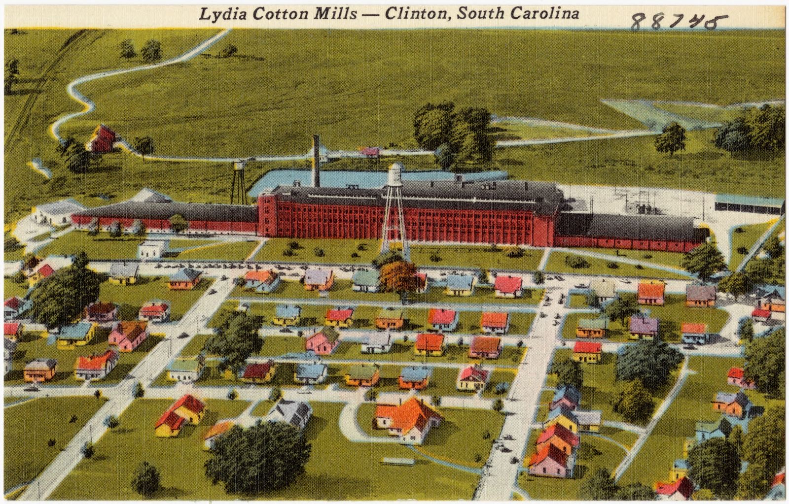
Selected from the Digital Public Library of America's 5 image records catalogued for this county. Every one shown here carries a public-domain status or a licence that permits reuse on a site that carries advertising; non-commercial, share-alike and restricted images are excluded. The selection is spread across the county's towns (at most eight per town), so no single institution's bulk upload crowds out the rest. Each opens the holding library's record, and the complete set at the Digital Public Library of America is one click away.
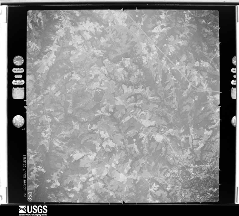
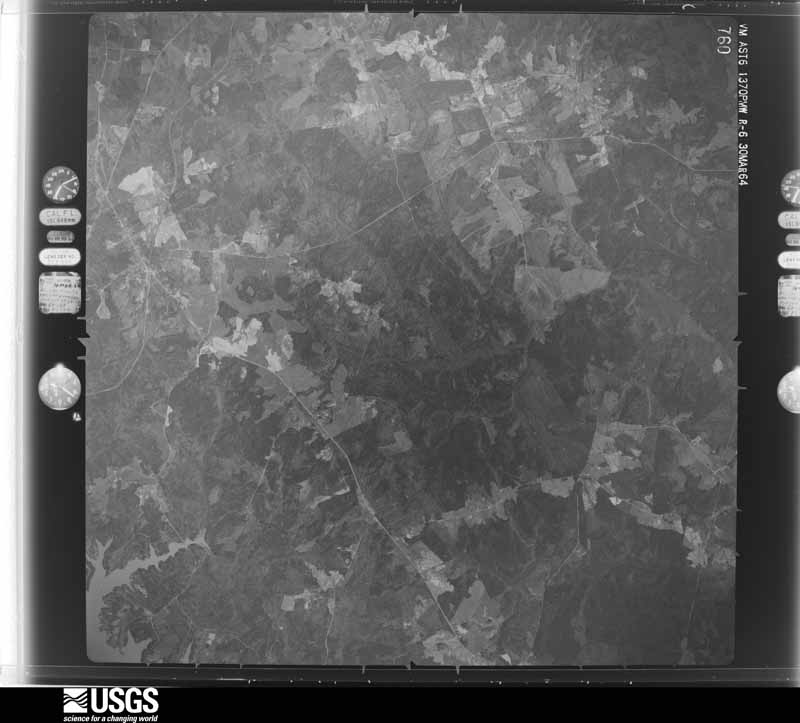
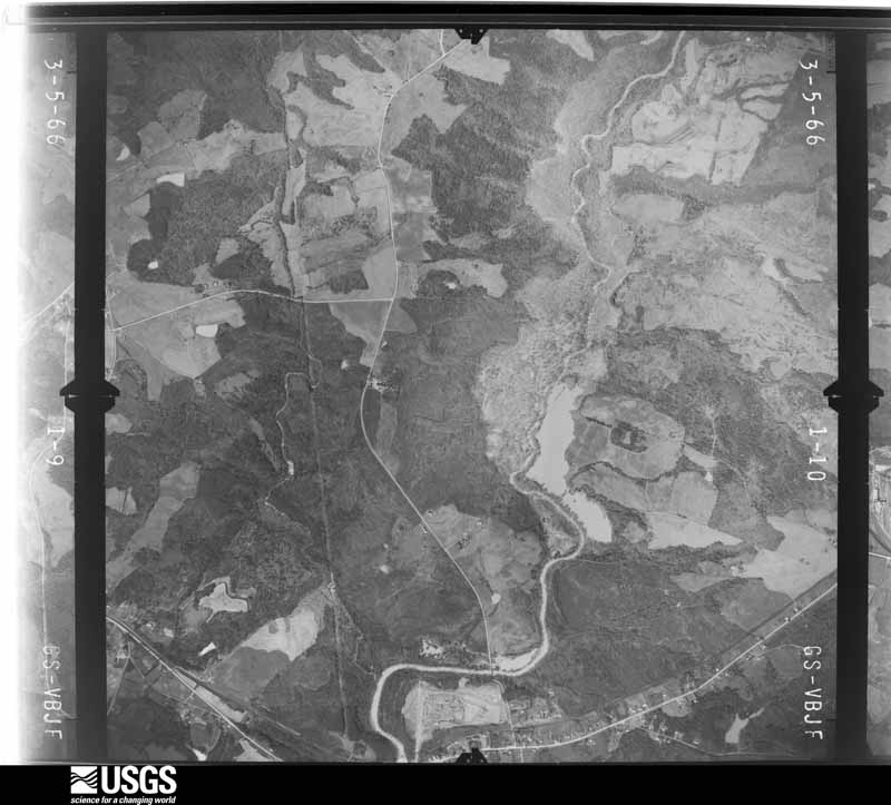
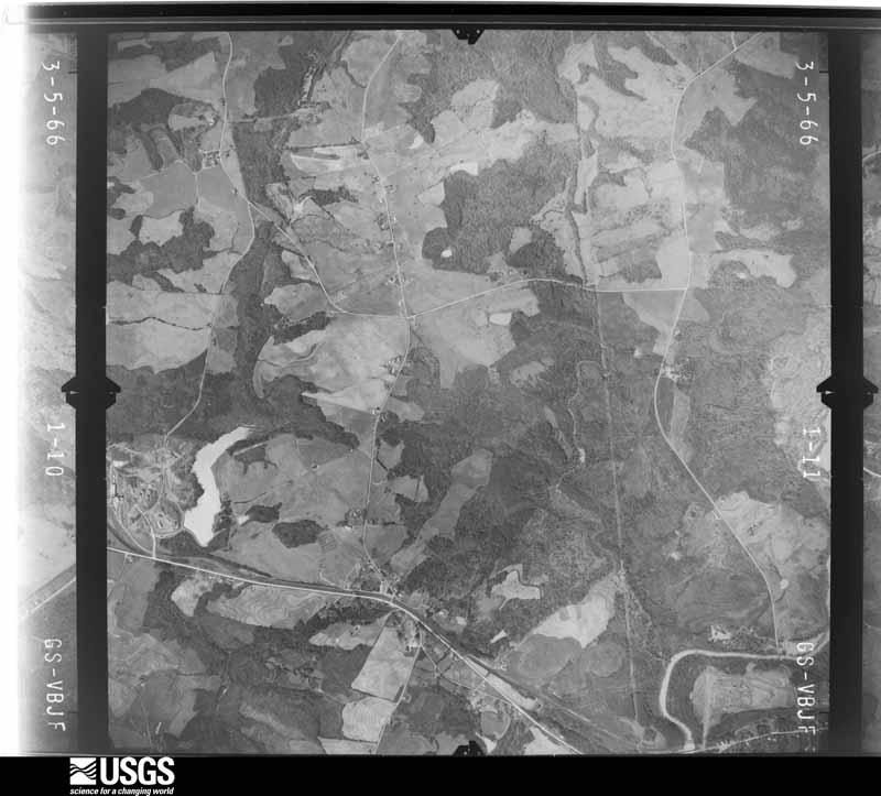
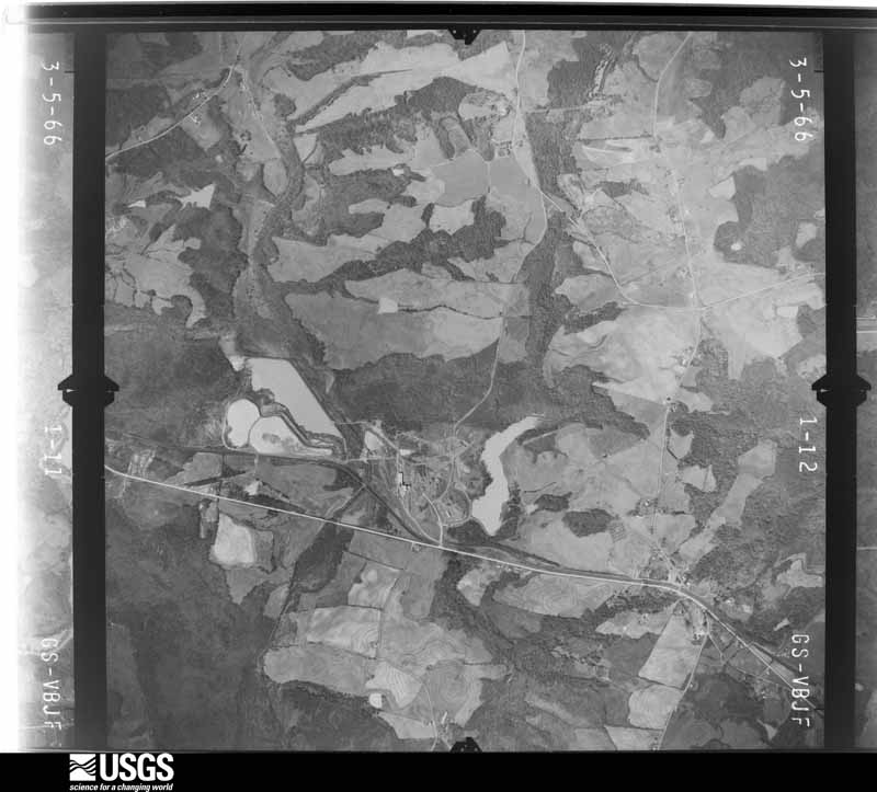
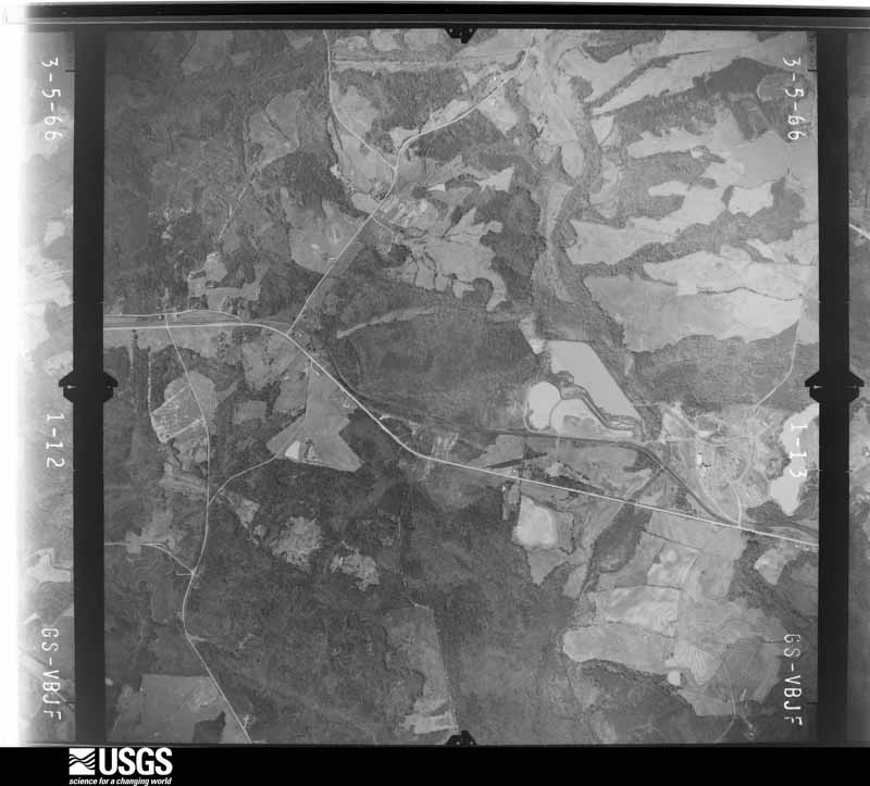
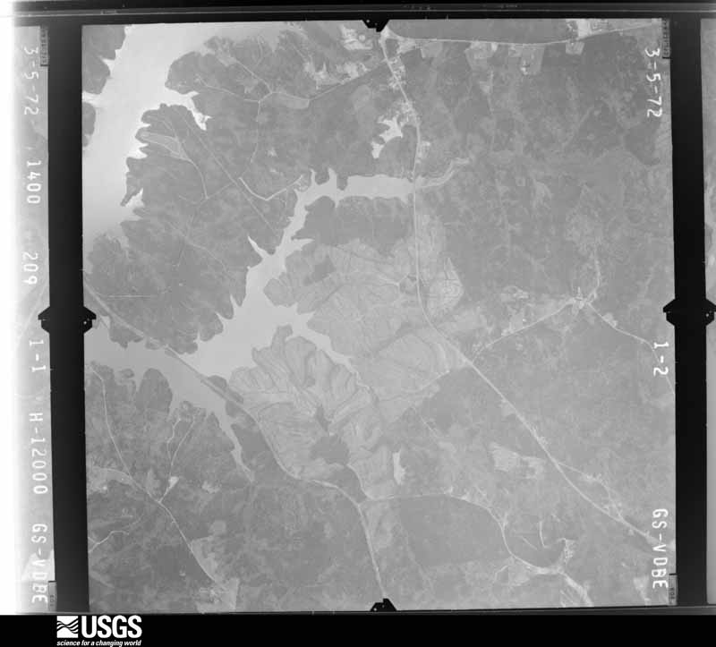
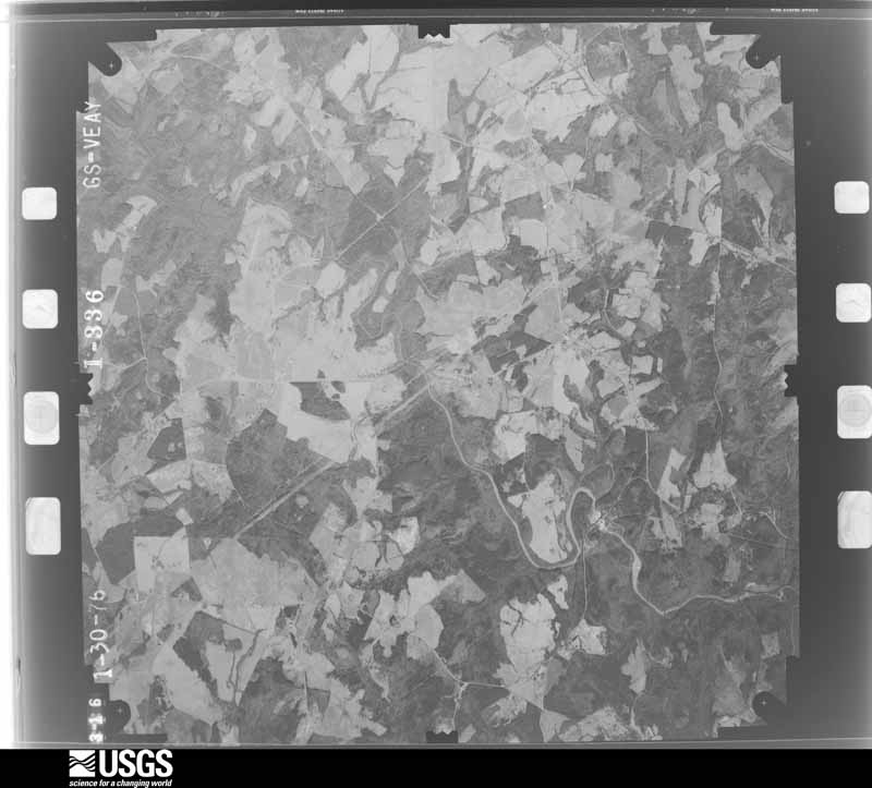
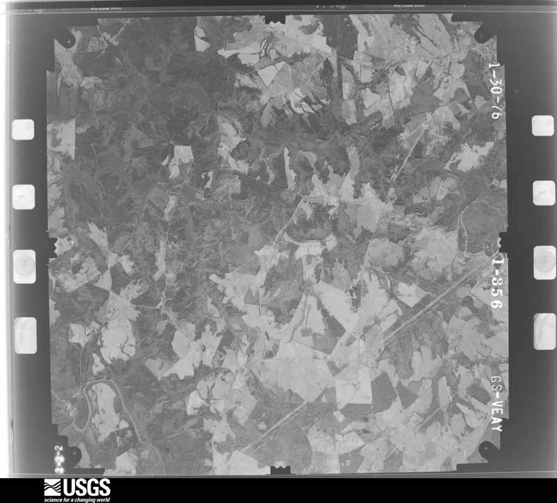
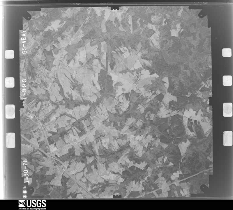
Flown by the U.S. Geological Survey between 1937 and 1989, the Aerial Photo Single Frames collection is the definitive mid-century view of the land: fields, roads and rivers as the camera saw them. The Survey holds 1,672 frames inside the rectangle that bounds this county; the 31 frames below were taken over the county itself, chosen across the decades of flights (at most four a year from that rectangle), so one flight cannot crowd out the rest. The full set is free to browse and download at EarthExplorer under the dataset Aerial Photo Single Frames.





















The thermometers that kept this county's weather, and the gages that measured the flow of its streams, as the federal records hold them. The extremes below are measured values from those records, not estimates.
Who lived here in 1950, one enumeration district at a time, as the Census Bureau described each district. Each row opens its official National Archives result, with Population Schedules and ED Maps available there.
Every wildfire the federal occurrence database records inside this county: 941 of them, burning about 4,077 acres. 31 started naturally and 104 were recorded as arson. Each settlement page carries the fires within five miles of it.
| Reported cause | Fires |
|---|---|
| Missing data/not specified/undetermined | 412 |
| Debris and open burning | 220 |
| Arson/incendiarism | 104 |
| Equipment and vehicle use | 51 |
| Misuse of fire by a minor | 33 |
| Smoking | 31 |
| Natural | 31 |
| Railroad operations and maintenance | 24 |
| Power generation/transmission/distribution | 14 |
| Recreation and ceremony | 12 |
| Other causes | 8 |
| Fireworks | 1 |
The five largest, by the area the report gives. None of them was recorded as arson.
| Date | Cause | Size | Reported by | Name on the report |
|---|---|---|---|---|
| 11 September 2007 | Missing data/not specified/undetermined | 112 acres | South Carolina Forestry Commission | not named |
| 16 August 2007 | Equipment and vehicle use | 100 acres | South Carolina Forestry Commission | MICHELIN |
| 9 July 1993 | Missing data/not specified/undetermined | 100 acres | South Carolina Forestry Commission | not named |
| 26 March 2008 | Missing data/not specified/undetermined | 75 acres | South Carolina Forestry Commission | not named |
| 24 June 2011 | Natural | 74 acres | South Carolina Forestry Commission | not named |
| 7 April 1995 | Missing data/not specified/undetermined | 52 acres | South Carolina Forestry Commission | not named |
| 25 February 1995 | Missing data/not specified/undetermined | 50 acres | South Carolina Forestry Commission | not named |
| 16 August 2007 | Missing data/not specified/undetermined | 50 acres | South Carolina Forestry Commission | not named |
Every settlement page carries the fires within five miles of it - see the settlement index below.
The NOAA Storm Events Database holds 543 reports for this county, causing 4 deaths, 71 injuries and about $34,409,500 in recorded property damage. Each settlement page carries the reports that name it.
| Kind of event | Reports |
|---|---|
| Thunderstorm Wind | 338 |
| Hail | 143 |
| Tornado | 24 |
| Flash Flood | 18 |
| Lightning | 7 |
| Flood | 5 |
| Funnel Cloud | 4 |
| Heavy Rain | 4 |
The most serious of them, by death, then injury, then recorded damage. The accounts are quoted exactly as the forecast office filed them.
| When | Event | Place named | Harm | What the report says |
|---|---|---|---|---|
| June 2009 | Thunderstorm Wind | Owings | 1 killed, $1,240,000 | NWS survey found an area of extensive straight line wind damage. The damage began near Gray Court, but winds intensified significantly along West Main St in the city of Laurens, mainly in areas from Todd Ave to Laurens High School. Hundreds of trees were snapped off or uprooted. A 29-year-old woman was killed on highway 321 south of the city when a tree fell on her vehicle. Numerous trees fell on homes, causing roof damage. Other trees fell on and destroyed automobiles and outbuildings. For the most part, damage caused directly by the wind was minor. However, a detached garage at the intersection of highway 76 and Stagecoach Rd had its roof blown off, causing two of the walls to collapse. Another small structure was destroyed on LC Drive. |
| July 2013 | Heavy Rain | Hickory Tavern | 1 killed | A tree fell in saturated soil, possibly due to gusty winds, across highway 76. A vehicle later collided with the tree, killing the passenger. |
| March 1984 | Thunderstorm Wind | not stated | 1 killed | no account filed |
| March 1984 | Thunderstorm Wind | not stated | 1 killed | no account filed |
| March 1984 | Tornado (F2) | not stated | 43 hurt, $25,000,000 | no account filed |
| March 1984 | Thunderstorm Wind | not stated | 17 hurt | no account filed |
| May 1977 | Tornado (F1) | not stated | 5 hurt, $250,000 | no account filed |
| December 1973 | Tornado (F3) | not stated | 1 hurt, $2,500,000 | no account filed |
| January 2005 | Tornado (F2) | Laurens | 1 hurt, $2,000,000 | This tornado touched down in the Ekom Community southwest of the city of Laurens, where it damaged a couple of mobile homes. The tornado then tracked northeast to the area around Laurens High School, where some small sheds were destroyed and a portion of the roof removed from a house. At the high school, the roof of a brick concession facility was blown off. Just east of the school, a mobile home was destroyed and a building received significant roof damage. The tornado continued northeast toward the Whelon Rd area, uprooting and snapping off several large trees. A small, frame guest house was damaged and a tractor overturned in this area. The tornado continued to snap and uproot large trees as it moved toward Welcome Church Rd, where 4 mobile homes were damaged and a frame home received minor roof damage. The damage path continued northeast, but ended about 200 yards north of highway 14. After briefly lifting, the tornado struck a tire distribution center just north of the highway 221 I-385 exchange. The roof of a building at the plant was damaged, which sparked a large fire in the building, burning it to the ground. An employee at the plant received minor injuries when debris fell on him. The tornado dissipated near highway 221 north of Laurens. |
| July 2006 | Thunderstorm Wind | Clinton | 1 hurt | Numerous trees down from the Hurricane Church Rd area to along I-26 near the highway 66 exit. Several trees fell on the interstate, requiring closure of the east-bound lane for a while. One tree fell on a car, causing minor injuries to an occupant. |
| June 2001 | Thunderstorm Wind | Laurens | 1 hurt | A tree was blown over onto a house, injuring one occupant. Several other trees down in the same area. |
| June 1997 | Heavy Rain | Laurens | 1 hurt | Thunderstorms dumped a large amount of rain along Interstate 385 during the late afternoon. Many cars hydroplaned. One man whose car spun out of control and rested on the shoulder, got out of his car only to be pulled into a culvert filled with 2 to 3 feet of raging water. After being sucked through a drainage pipe a State Trooper rescued him, leaving him with only a few injuries. |
| June 1988 | Thunderstorm Wind | not stated | 1 hurt | no account filed |
| August 2006 | Lightning | Gray Court | $500,000 | Lightning struck a church, igniting a fire that destroyed the structure. |
| April 1993 | Thunderstorm Wind | not stated | $500,000 | A cluster of thunderstorms associated with an old meso-low pressure system left over from the previous day and early morning hours re-intensified as it moved rapidly from central Georgia into the southern part of the upstate. A supercell began the production of severe weather with a long track but weak tornado. The tornado left a mostly continuous 34-mile path through Greenwood and Laurens Counties. It began at Bradley in Greenwood County, crossed into Laurens County 10 miles north east of Greenwood at 1540 EST, and dissipated 5 miles south-southwest of Clinton. The tornado was of F0 intensity with a width of 200 yards in Greenwood County. Trees and power lines were blown down all along the path with fairly substantial damage in the Southern part of the city of Greenwood. Chimneys were blown off some houses and large trees fell on some structures. Not including hail damage, which will not be apparent until later, damage was estimated at $75,000 to $100,000. In Laurens County the storm became a bit stronger reaching F1 intensity with a path width of 300 yards. Most damage was around Cross Hill where a couple of mobile homes were damaged (one virtually destroyed), a steeple was blown off a church, and numerous trees were blown down. Some trees fell on structures. Damage, without hail considered, was in excess of $50,000. The hailstorm associated with the supercell was very impressive. Largest hail was restricted to the area very near the tornado with large amounts of marble to dime-size hail falling north of that area. The tornado lifted before reaching Clinton but thunderstorm winds blew down some trees and power lines, blew shingles off roofs, and enormous amounts of golfball-size hail severely damaged cars and roofs. |
| May 1993 | Tornado (F0) | Greenpond | $500,000 | no account filed |
| July 2013 | Lightning | Harris Spgs | $300,000 | Lightning started a fire at a 4000 square foot home that completely destroyed the structure. |
| October 2017 | Tornado (EF2) | Brand | $250,000 | NWS storm survey found a second, stronger tornado touched down in Laurens County, approximately 4 miles north/northeast of where the first tornado lifted, or on the east side of Laurens, near the intersection of Fleming St Ext and Torrington Rd. Significant damage was observed along Irwin Rd, between Hazelnut Ct and Cashew Trl, where several manufactured homes were severely damaged or destroyed. An occupant of one of these homes was injured. The tornado continued north/northeast to near the intersection of I-385 and Highway 49. From there, the tornado traveled roughly along Highway 49. A frame home in this area had its roof completely removed and multiple cinder block and brick walls collapsed. Otherwise, the tornado continued to damage many outbuildings and blew down numerous trees and tree limbs. The tornado moved away from Highway 49 near the intersection of Highway 308 and while the damage path was lost in this rural area, dual pol radar data indicated the tornado likely continued north/northeast, crossing into Spartanburg County less than a mile north of Highway 49. |
| April 1999 | Thunderstorm Wind | Mountville | $250,000 | no account filed |
| July 1997 | Flash Flood | Gray Court | $150,000 | no account filed |
| December 2009 | Thunderstorm Wind | Cross Hill | $70,000 | A small, but intense downburst affected the north side of the Cross Hill community. Damage began near the intersection of highways 72 and 39 and extended to the Puckett Ferry Rd and Liberty Springs Rd area. An unanchored mobile home was flipped and several other mobile homes were damaged. A shed was also flipped onto a carport. Numerous trees were also downed in the area. |
| April 1998 | Tornado (F0) | Waterloo | $70,000 | no account filed |
| March 1996 | Thunderstorm Wind | Fountain Inn | $70,000 | no account filed |
| March 2023 | Tornado (EF1) | Hickory Tavern | $50,000 | NWS storm survey determined that a tornado touched down in northwest Laurens County, just west of Fairview Rd and traveled east/northeast toward Barnyard Rd. Numerous trees were snapped or uprooted along this segment of the path, and a couple of large trees fell on and damaged a home on Barnyard Ct. The tornado continued E/NE, downing additional trees as it crossed Deck Rd and Greenpond Rd. The path became more intermittent at that point until it approached the town of Gray Court, where tree damage again became more concentrated. The tornado continued E/NE of Gray Court, mostly remaining to the south of, but roughly paralleling Highway 92 until crossing Highway 221. The tornado then crossed the Enoree River into Spartanburg County about 1.5 miles southeast of the town of Enoree. Dozens of large trees were snapped or uprooted in the area between Gray Court and the county line. |
| March 2017 | Thunderstorm Wind | Laurens | $50,000 | Spotter reported trees and power lines down throughout the city of Laurens, from around Stagecoach Rd, through the city and east to the around the Laurens County hospital. One tree fell and significantly damaged a home on Stuart St in Laurens. |
| November 2010 | Tornado (EF1) | Owings | $50,000 | This tornado touched down along Wynfield Court north of Gray Court and moved along an intermittent path in a north northeast direction. Some trees were snapped and an outbuilding overturned near the beginning of the damage path. The tornado skipped to Robert Harris Ct, tearing the underskirting off a mobile home. Damage intensified toward Bramlett Church Rd, where a mobile home was moved from its foundation and had some siding and underskirting removed. Some shingles were torn off homes on Harris Bridge Rd, while the roofs of a well house and storage shed were blown off as well. The tornado lifted near Christmastree Lane, where several large oak trees were uprooted, one of which fell on and damaged a home. Also, a detached garage was completely destroyed at this location. |
| August 2002 | Thunderstorm Wind | Clinton | $50,000 | Numerous trees were blown down in the south part of town. Some trees fell on vehicles and buildings. |
| April 1999 | Hail | Laurens | $50,000 | no account filed |
| July 2016 | Thunderstorm Wind | Gray Court | $40,000 | County comms numerous trees, power lines, and power poles blown down or snapped across the county, with some trees on homes and automobiles, including one in the city of Laurens and in Clinton. An automated sensor measured a gust of 59 kts, or 65 mph at the Laurens County Airport, 4 miles east of the city. A hangar was damaged at the airport and a large tree limb fell on and damaged construction equipment. At the nearby Laurens County Park, the roof was blown off a shed and baseball dugouts. In addition, a retaining wall was blown over outside the stadium at Clinton High School. |
| June 1999 | Thunderstorm Wind | Hickory Tavern | $40,000 | no account filed |
| June 1996 | Thunderstorm Wind | Princeton | $30,000 | no account filed |
| July 2005 | Thunderstorm Wind | Fountain Inn | $25,000 | Outbuildings heavily damaged or destroyed and blown about 200 feet. Several homes received roof damage, with water pouring into 1 home. |
| July 1996 | Thunderstorm Wind | Waterloo | $25,000 | no account filed |
| June 1995 | Thunderstorm Wind | Laurens | $25,000 | no account filed |
| March 1960 | Tornado (F2) | not stated | $25,000 | no account filed |
| August 2021 | Tornado (EF1) | Cooks Xrds | $20,000 | NWS storm survey confirmed an EF1 tornado in extreme northern Laurens County, northeast of Fountain Inn. The tornado touched down east of Pennington Rd, just north of the Scuffletown Rd intersection, tracking north-northeast, crossing the southern end of Ritchie Rd, across Pollard Rd and Highway 418, apparently lifting just west of Thackston Rd. Damage was primarily limited to multiple uprooted hardwoods and some snapped softwood trees. One of these trees fell on and damaged a home on Ritchie Rd. A shed was also destroyed and a home received minor roof damage on Highway 418 just east of Pollard Rd. |
| October 2017 | Tornado (EF1) | Harris Spgs | $20,000 | NWS storm survey found an area of weak tornado damage that began near the Highway 72/Highway 221 intersection. Although the damage path was lost northeast of this location in a heavily wooded area, dual pol radar data indicated the tornado likely continued to the north/northeast to Highway 39, where additional damage was found along Beaverdam Church Rd and Teague Rd. The tornado continued north/northeast, lifting southeast of Laurens. Damage was confined to mostly minor damage to homes, a few damaged or destroyed outbuildings, and numerous downed trees and large limbs. |
| April 2017 | Tornado (EF0) | Barksdale | $20,000 | NWS storm survey found a tornado path that roughly paralleled Owens Rd, touching down just east of highway 14 and lifting after about 3/4 mile. Most of the damage consisted of downed trees, but some Minor Structural damage occurred, mainly in the form of minor roof damage. One tree fell on a mobile home. |
| May 2009 | Tornado (EF0) | Cross Hill | $20,000 | A tornado path begin near the intersection of Amber Hill Cir and Watts Bridge Rd south of Cross Hill, where a few small trees were snapped off. The tornado moved east northeast to an RV park near the intersection of Watts Bridge and Morse Landing Rd. Two travel trailers were blown over and rolled 20-30 yards at this location. An outbuilding was destroyed and a mobile home received minor roof damage just south of the park. A few trees were snapped off in this area as well. The tornado appeared to lift as it crossed a hollow just east of Morse Landing Rd. However, additional damage to trees was observed on Barnett Rd. The tornado lifted near the intersection of Skippers Lodge Rd just north of Barnett Rd, where two large pine trees were uprooted. |
| June 1995 | Thunderstorm Wind | Fountain Inn | $12,000 | no account filed |
| December 2024 | Thunderstorm Wind | Waterloo | $10,000 | Emergency manager reported multiple trees blown down along with damage to some roofs and a porch near the shore of Lake Greenwood. |
| September 2024 | Flood | Cooks Xrds | $10,000 | Although heavy rain ended across Laurens County by early afternoon, flooding developed along the Enoree River during this time, as water from widespread very heavy rainfall over the upper part of the basin funneled its way downstream through the watershed. Low lying areas and some roads were inundated along the Spartanburg County line, including Beaverdam Church Rd. Meanwhile, flooding persisted into the afternoon along the Little River in Laurens. |
| June 2020 | Tornado (EF0) | Owings | $10,000 | NWS storm survey found the path of a brief weak tornado just southwest of Perrin Circle in Laurens County. Residents described a wispy funnel that first touched down in a field damaged a carport and uprooted several trees as it moved into a wooded area. The weak tornado intermittently touched down and lifted along its half mile track downing a few more trees and snapping large branches before lifting just short of Cooley Road. Some minor damage occurred to an old barn as well as minor structural damage to a couple of houses. |
| October 2015 | Flood | Bonds Xrds | $10,000 | After as much as 10 inches of rain fell across Laurens County in a 24 hour period, flooding developed during the early morning of the 4th and continued through the day. Multiple roads were closed throughout the county due to a combination of urban/poor drainage flooding and stream flooding. Streams that flooded included Cane Creek, Little River, and Indian Creek. |
| July 2014 | Thunderstorm Wind | Harris Spgs | $10,000 | County comms reported a section of roof was removed from a fast food restaurant along Highway 72 at Lake Greenwood. |
| September 2007 | Tornado (EF1) | Hickory Tavern | $10,000 | A small area of tornado damage occurred along Greenpond Rd near its intersection with Shiloh Church Rd. A chimney was blown off a house that also had several windows blown out. The house also received significant roof damage. A mobile home in the same area also received significant roof damage and was shifted off its foundation by about 20 degrees. |
| August 2007 | Thunderstorm Wind | Hickory Tavern | $10,000 | Numerous trees were blown down in and around Hickory Tavern along with part of the roof blown off a 100 foot wide storage building. |
| March 2002 | Thunderstorm Wind | Cross Hill | $10,000 | A house was reported to have received substantial damage. |
| August 2002 | Thunderstorm Wind | Gray Court | $10,000 | Several trees were blown down. One fell on a house. |
| June 1999 | Hail | Hickory Tavern | $10,000 | no account filed |
| June 1995 | Thunderstorm Wind | Laurens | $10,000 | no account filed |
| April 1996 | Lightning | Clinton | $9,000 | no account filed |
| May 2025 | Flash Flood | Watts Mills | $7,000 | County comms reported flash flooding developed in the Laurens area and in Waterloo after a swath of 3 to 4 inches of rain fell in this area in 2-3 hours. Long Lick Branch overflowed its banks in the Waterloo area and inundated Todd Quarter Rd, which had to be closed. Harris Springs Rd was also inundated by water from Cane Creek. In the city of Laurens, the Little River overflowed its banks and flooded Little River Park. A tributary of the Little River flooded a portion of Fleming St, where a motorist became stranded in floodwater. |
| May 2025 | Thunderstorm Wind | Waterloo | $5,000 | Public reported a home along Lake Greenwood in the Waterloo area sustained damage to siding, thrown patio furniture, and a bent flag pole. Multiple tree limbs were also blown down. |
| August 2021 | Thunderstorm Wind | Cross Hill | $5,000 | County comms reported damage to the roof of a home on Amber Hill Circle. |
| June 2019 | Thunderstorm Wind | Hickory Tavern | $5,000 | Public reported multiple trees blown down from west of Laurens to at least the west side of the city. One tree fell on an outbuilding, while the roof of at least one structure was damaged. Other downed trees were reported in other parts of the county. |
| June 2016 | Thunderstorm Wind | Hickory Tavern | $5,000 | Media reported siding torn off a home and a couple of trees blown down in the Hickory Tavern area. |
| August 2016 | Thunderstorm Wind | Owings | $5,000 | County comms reported part of the roof off a house, and a few trees and power lines blown on Thompson Rd near the intersection with Reedy Creek Rd. |
| September 2015 | Thunderstorm Wind | Mountville | $5,000 | County comms reported a couple of trees blown down, with one tree down across a front porch. |
| November 2015 | Flood | Owings | $5,000 | After more than 4 inches of rain fell in about 36 hours, with much of that falling on the morning of the 2nd, county comms reported flooding developed across much of Laurens County. Multiple roads were closed, especially in the Gray Court, Waterloo, and Clinton areas. |
The Survey's mineral resources record lists 71 workings inside this county. 16 still produce and 55 are closed or unrecorded. Each settlement page carries the workings within five miles of it.
| Commodity | Workings |
|---|---|
| Vermiculite | 55 |
| Limestone, General | 4 |
| Gold | 3 |
| Stone, Crushed/Broken | 3 |
| Thorium, Titanium, Zirconium | 2 |
| Granite, Stone, Crushed/Broken | 2 |
| Sand | 2 |
| Marble, Dimension | 1 |
| Granite | 1 |
The least common of them first, because a county's hundredth gravel pit says nothing its first ten did not.
| Where | Site | Commodity | Status | Recorded |
|---|---|---|---|---|
| Cold Point Granite Company Quarry | Stone, Crushed/Broken, Granite | Past Producer | 1910 | |
| Master's Kiln | Limestone, General, Marble, Dimension | Past Producer | 1908 | |
| 418 Sand Pit | Sand | Unknown | Sedimentary | |
| Entrekin Quarry | Granite, Stone, Crushed/Broken | Unknown | 1908 | |
| Gray Court Quarry | Granite, Stone, Crushed/Broken | Producer | Metamorphosed Igneous Intrusion | |
| North Rabon Creek | Thorium, Titanium, Zirconium | Unknown | Placer-Modern-Fluvial | |
| South Rabon Creek | Thorium, Titanium, Zirconium | Unknown | Placer-Modern-Beach | |
| Taylor Mine | Sand | Unknown | Sedimentary | |
| Gray Court #246 Quarry | Stone, Crushed/Broken | Producer | ||
| Joanna Quarry | Stone, Crushed/Broken | Producer | ||
| Mt. Olive Prospect | Gold | Occurrence | ||
| Raeburn Creek Prospect | Gold | Past Producer | Vein | |
| Raeburn Creek Prospect | Gold | Prospect | ||
| Garlington Kiln | Limestone, General | Past Producer | Metamorphic | |
| Masters Kiln | Limestone, General | Past Producer | Metamorphic | |
| Raysors Kiln | Limestone, General | Past Producer | Metamorphic | |
| Abercrombie Mine | Vermiculite | Past Producer | ||
| American Vermiculite #1 Pit | Vermiculite | Past Producer | Metamorphosed Igneous Intrusion | |
| Ball Mine | Vermiculite | Producer | Metamorphosed Igneous Intrusion | |
| Boyd-Whitmore Mine | Vermiculite | Unknown | Metamorphosed Igneous Intrusion | |
| Bradshaw | Vermiculite | Unknown | Metamorphosed Igneous Intrusion | |
| Brown Pit | Vermiculite | Past Producer | ||
| Burns-Nelson Mine | Vermiculite | Past Producer | Metamorphosed Igneous Intrusion | |
| Charles Waldrep | Vermiculite | Producer | Metamorphosed Igneous Intrusion | |
| Clinton Mine | Vermiculite | Past Producer | ||
| Cook 1a and 1b | Vermiculite | Past Producer | Metamorphosed Igneous Intrusion | |
| Cooper #1 & #2 | Vermiculite | Unknown | Metamorphosed Igneous Intrusion | |
| Cooper Mine | Vermiculite | Past Producer | Metamorphosed Igneous Intrusion | |
| Craig Mine | Vermiculite | Past Producer | Metamorphosed Igneous Intrusion | |
| Davis-Dewitt Mine | Vermiculite | Unknown | Metamorphosed Igneous Intrusion | |
| Enoree Mine | Vermiculite | Past Producer | ||
| Exfoliating Plant | Vermiculite | Plant | ||
| Ezell Mine | Vermiculite | Unknown | Metamorphosed Igneous Intrusion | |
| F. Waldrep Mine | Vermiculite | Unknown | Metamorphosed Igneous Intrusion | |
| Goodwins Mine | Vermiculite | Past Producer | Metamorphosed Igneous Intrusion | |
| Hanna Mine Number 5 | Vermiculite | Past Producer | ||
| Harlan-Roper Mine | Vermiculite | Unknown | Metamorphosed Igneous Intrusion | |
| Henderson Mine | Vermiculite | Past Producer | 1983 | |
| Henry Estate Mine | Vermiculite | Past Producer | Metamorphosed Igneous Intrusion | |
| Hudging Mine | Vermiculite | Producer | Metamorphosed Igneous Intrusion | |
| Ivey Mine | Vermiculite | Unknown | Metamorphosed Igneous Intrusion | |
| Jacks #1 Mine | Vermiculite | Unknown | Metamorphosed Igneous Intrusion | |
| Kearney Mill | Vermiculite | Producer | ||
| Kenneth Hanna Mine | Vermiculite | Producer | Metamorphosed Igneous Intrusion | |
| L-C Broadcasting Mine | Vermiculite | Past Producer | Metamorphosed Igneous Intrusion | |
| Laurens County Mines | Vermiculite | Producer | ||
| Leonard | Vermiculite | Producer | Metamorphosed Igneous Intrusion | |
| Lois Abercrombie | Vermiculite | Past Producer | Metamorphosed Igneous Intrusion | |
| Maddens-Kernals | Vermiculite | Past Producer | Metamorphosed Igneous Intrusion | |
| Mason Donnan Mine | Vermiculite | Past Producer | Metamorphosed Igneous Intrusion | |
| Mims Mine | Vermiculite | Unknown | Metamorphosed Igneous Intrusion | |
| Monroe Mine | Vermiculite | Past Producer | Metamorphosed Igneous Intrusion. | |
| New W.D. Abercrombie Mine | Vermiculite | Past Producer | Metamorphosed Igneous Intrusion | |
| Number 8 Mine | Vermiculite | Producer | Metamorphosed Igneous Intrusion | |
| Patterson #1 Prospect | Vermiculite | Past Producer | Metamorphosed Igneous Intrusion | |
| Patterson #2 Prospect | Vermiculite | Past Producer | Metamorphosed Igneous Intrusion | |
| Patterson #3 Mine | Vermiculite | Past Producer | Metamorphosed Igneous Intrusion | |
| Patterson #6 Mine | Vermiculite | Producer | Metamorphosed Igneous Intrusion | |
| Pinson #2 Mine | Vermiculite | Past Producer | Metamorphosed Igneous Intrusion | |
| Powers Mine | Vermiculite | Past Producer | Metamorphosed Igneous Intrusion | |
| Roper Mine | Vermiculite | Unknown | Metamorphosed Igneous Intrusion | |
| Stribling Mine | Vermiculite | Unknown | Metamorphosed Igneous Intrusion | |
| Sumner Mine | Vermiculite | Past Producer | Metamorphosed Igneous Intrusion | |
| Templeton Mine | Vermiculite | Producer | Metamorphosed Igneous Intrusion | |
| Templeton Mine | Vermiculite | Unknown | Metamorphosed Igneous Intrusion | |
| Tommy Blakely Mine | Vermiculite | Past Producer | Metamorphosed Igneous Intrusion | |
| Triston Mine | Vermiculite | Producer | Metamorphosed Igneous Intrusion | |
| Verenes Tract | Vermiculite | Unknown | Metamorphosed Igneous Intrusion | |
| W.L. Patterson Mine | Vermiculite | Unknown | Metamorphosed Igneous Intrusion | |
| Wright #1 and #2 Mine | Vermiculite | Past Producer | Metamorphosed Igneous Intrusion | |
| Wright No. 1. & 2. | Vermiculite | Producer | Metamorphosed Igneous Intrusion |
Named settlements recorded in the Geographic Names Information System, each with the topographic sheets covering it. Villages, hamlets and abandoned places alike. Each is shown with the nearest named watercourse or landform and the survey quadrangle it falls on. The 2 places that were also surveyed for fire insurance come first, with the number of atlases and photographs held for them.
Clinton census division · 29325 · Clinton quadrangle
12 sheets, 1941 to 1986
Fire insurance: 9 atlases
Laurens census division · 29360 · On Reedy Fork · Laurens South quadrangle
13 sheets, 1892 to 1979
Fire insurance: 9 atlases
Princeton census division · 29360 · On North Rabon Creek · Ware Shoals East quadrangle
13 sheets, 1892 to 1979
No longer a settlement
Princeton census division · 29384 · On Walnut Creek · Ware Shoals East quadrangle
13 sheets, 1892 to 1979
Gray Court census division · 29645 · Near Little Knob · Laurens North quadrangle
8 sheets, 1954 to 1991
Laurens census division · 29645 · Laurens North quadrangle
8 sheets, 1954 to 1991
No longer a settlement
Princeton census division · 29384 · On Reedy River · Waterloo quadrangle
13 sheets, 1892 to 1979
Gray Court census division · 29644 · Fountain Inn quadrangle
8 sheets, 1954 to 1991
Laurens census division · 29360 · Laurens North quadrangle
8 sheets, 1954 to 1991
No longer a settlement
Clinton census division · 29325 · Joanna quadrangle
12 sheets, 1941 to 1986
No longer a settlement
Gray Court census division · 29645 · Hickory Tavern quadrangle
8 sheets, 1954 to 1991
No longer a settlement
Princeton census division · 29360 · On Dirty Creek · Ware Shoals East quadrangle
13 sheets, 1892 to 1979
Princeton census division · 29692 · Ware Shoals West quadrangle
13 sheets, 1892 to 1979
No longer a settlement
Clinton census division · 29325 · On Flannigans Branch · Newberry NW quadrangle
13 sheets, 1941 to 1986
No longer a settlement
Clinton census division · 29360 · On Long Branch · Ora quadrangle
13 sheets, 1941 to 1986
Clinton census division · 29325 · On Millers Fork · Philson Crossroads quadrangle
13 sheets, 1941 to 1986
No longer a settlement
Laurens census division · 29360 · On Scout Branch · Laurens South quadrangle
13 sheets, 1892 to 1979
Princeton census division · 29384 · On Long Lick Branch · Waterloo quadrangle
13 sheets, 1892 to 1979
Laurens census division · 29335 · On Beaverdam Creek · Enoree quadrangle
12 sheets, 1941 to 1986
Laurens census division · 29370 · Laurens South quadrangle
13 sheets, 1892 to 1979
No longer a settlement
Joanna census division · 29325 · On Beaverdam Creek · Cross Hill quadrangle
12 sheets, 1941 to 1986
Princeton census division · 29692 · Ware Shoals East quadrangle
13 sheets, 1892 to 1979
Princeton census division · 29384 · On Walnut Creek · Ware Shoals East quadrangle
13 sheets, 1892 to 1979
Princeton census division · 29692 · Ware Shoals East quadrangle
13 sheets, 1892 to 1979
No longer a settlement
Clinton census division · 29325 · Philson Crossroads quadrangle
13 sheets, 1941 to 1986
Cross Hill census division · 29332 · On Cane Creek · Waterloo quadrangle
13 sheets, 1892 to 1979
Princeton census division · 29692 · Ware Shoals East quadrangle
13 sheets, 1892 to 1979
Gray Court census division · 29645 · Fountain Inn quadrangle
8 sheets, 1954 to 1991
No longer a settlement
Princeton census division · 29645 · On Horse Creek · Hickory Tavern quadrangle
8 sheets, 1954 to 1991
No longer a settlement
Laurens census division · 29360 · On North Rabon Creek · Laurens South quadrangle
13 sheets, 1892 to 1979
No longer a settlement
Cross Hill census division · 29332 · Cross Hill quadrangle
12 sheets, 1941 to 1986
No longer a settlement
Princeton census division · 29654 · On Horse Creek · Hickory Tavern quadrangle
8 sheets, 1954 to 1991
No longer a settlement
Cross Hill census division · 29370 · Cross Hill quadrangle
12 sheets, 1941 to 1986
Gray Court census division · 29645 · On South Durbin Creek · Woodruff quadrangle
8 sheets, 1954 to 1991
The vanished settlements of Laurens County: the places named above that are no longer on the map.
12 topographic sheets and 9 fire insurance atlases, 1884 to 1950
13 topographic sheets and 9 fire insurance atlases, 1884 to 1941
The complete index, with nothing left out. Each of these is a separate record with its own page: a federal survey report, or the case file that argued a property on to the National Register. Both are public domain and reproduced word for word.
The vanished settlements of Laurens County, the places these records name that are no longer on the map.