 Block
BlockFrom the record
4 National Register listings published here.
Sources: the National Register database, National Park Service
68 topographic sheets and 13 fire insurance atlases across 3 places.
4 National Register listings published here.
Sources: the National Register database, National Park Service
Taken for the Office of War Information and the Farm Security Administration, who photographed the country between 1935 and 1944. Works of United States government photographers, with no known restriction on use. Each opens its catalogue record.
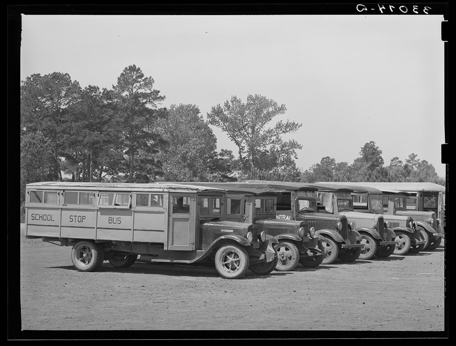
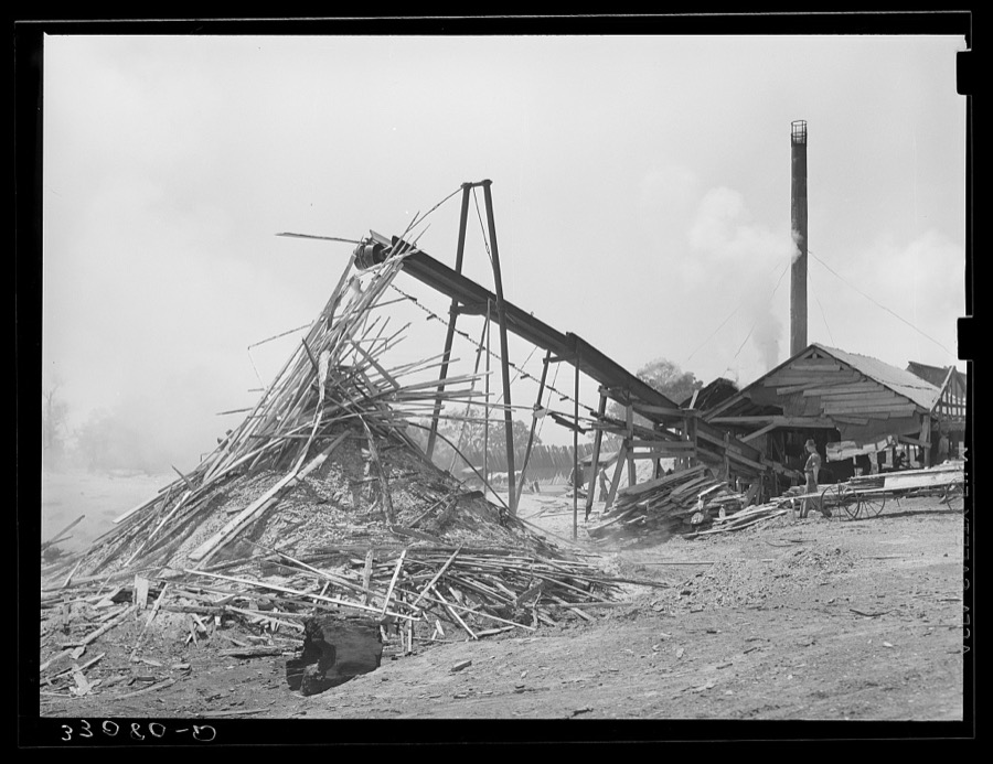
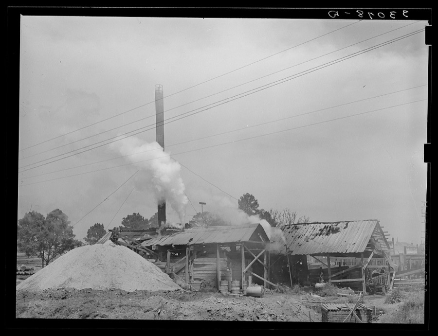
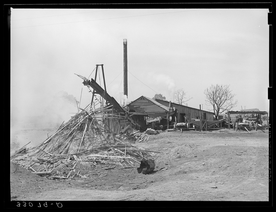
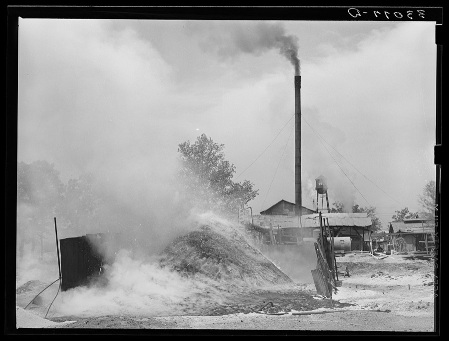
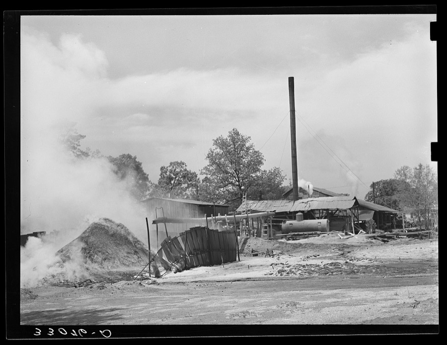
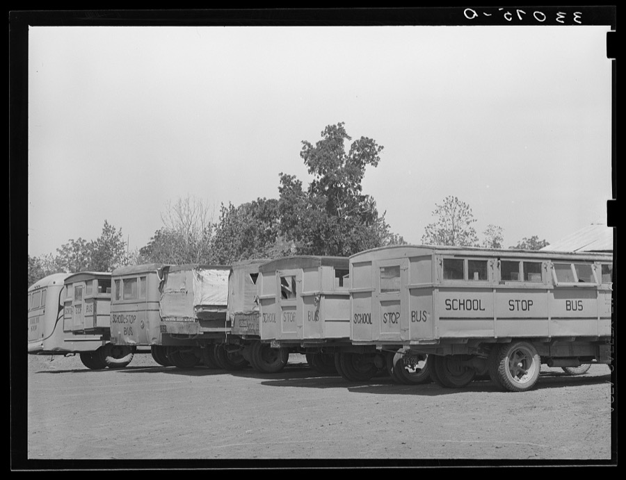
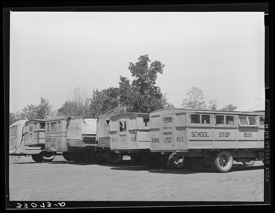
Every property in this county listed on the National Register of Historic Places, with the year it was listed and the federal nomination document.
| Photograph | Property | Type | Listed | Reference |
|---|---|---|---|---|
 | Aber and Haberle Houses | building | 1984 | 84001630 |
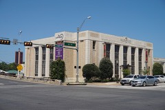 | Jacksonville Post Office | building | 2004 | 03001417 |
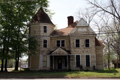 | William Walter Newton House | building | 1982 | 82004496 |
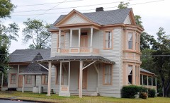 | James I. and Myrta Blake Perkins House | building | 2002 | 02000823 |
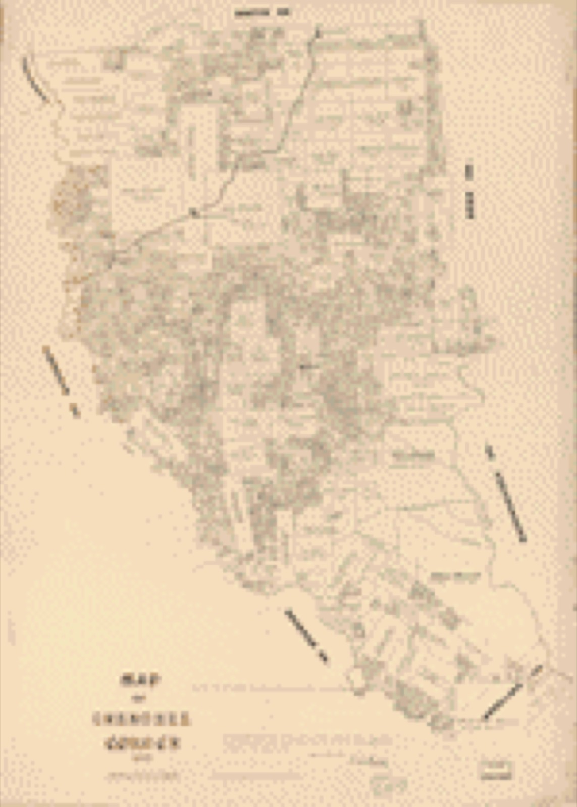
Drawn when these were printed as single large sheets: the town seen from the air, and the county divided into its farms with every owner named. Each opens the original at the Library of Congress.
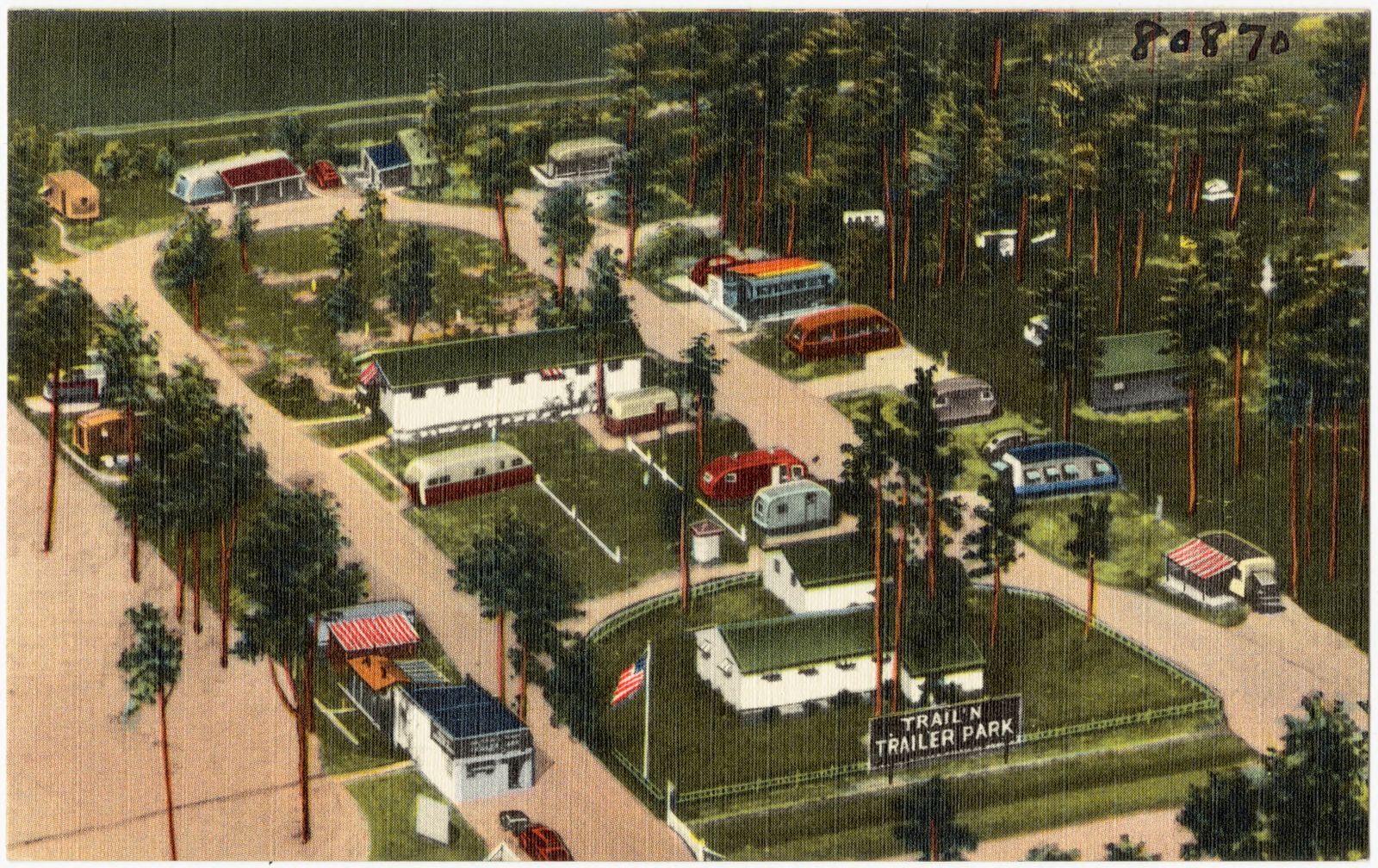
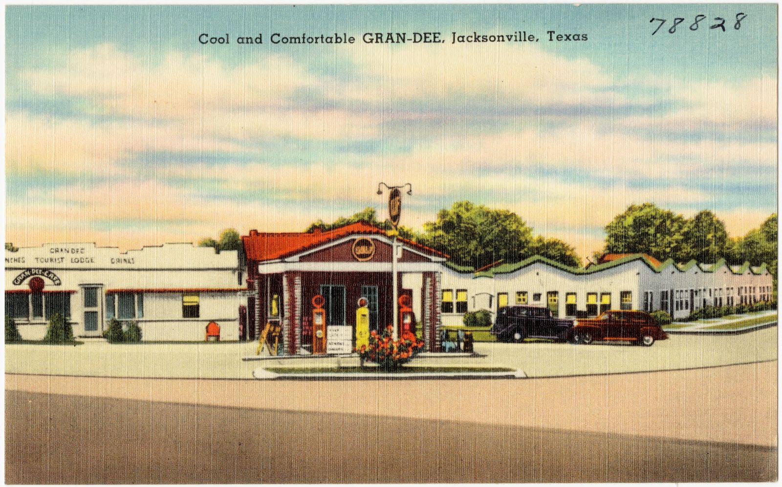
Selected from the Digital Public Library of America's 3 image records catalogued for this county. Every one shown here carries a public-domain status or a licence that permits reuse on a site that carries advertising; non-commercial, share-alike and restricted images are excluded. The selection is spread across the county's towns (at most eight per town), so no single institution's bulk upload crowds out the rest. Each opens the holding library's record, and the complete set at the Digital Public Library of America is one click away.

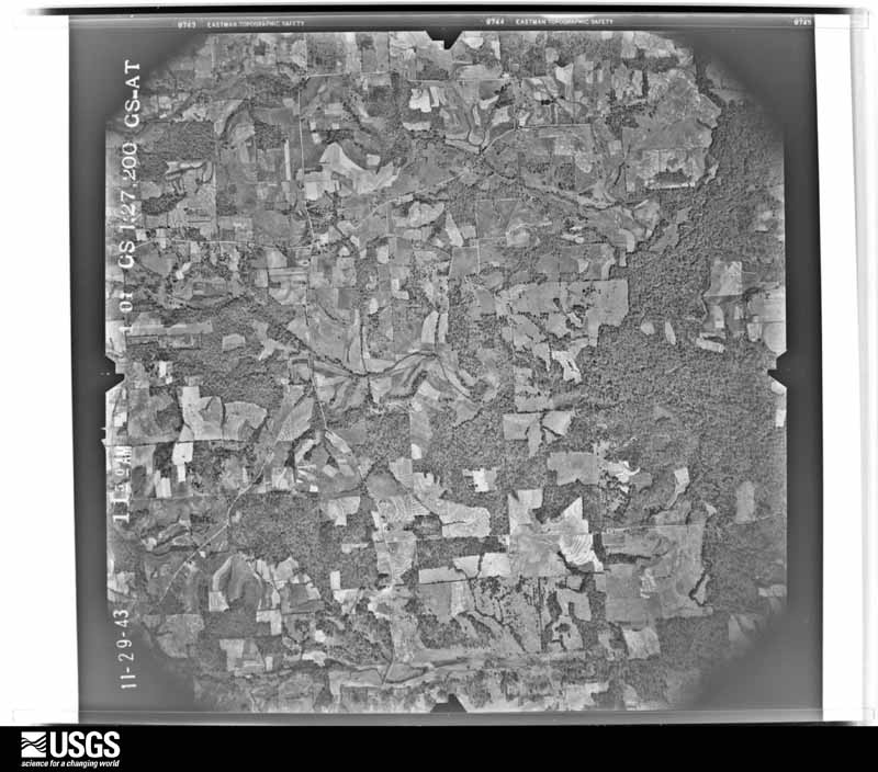
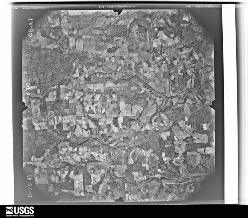
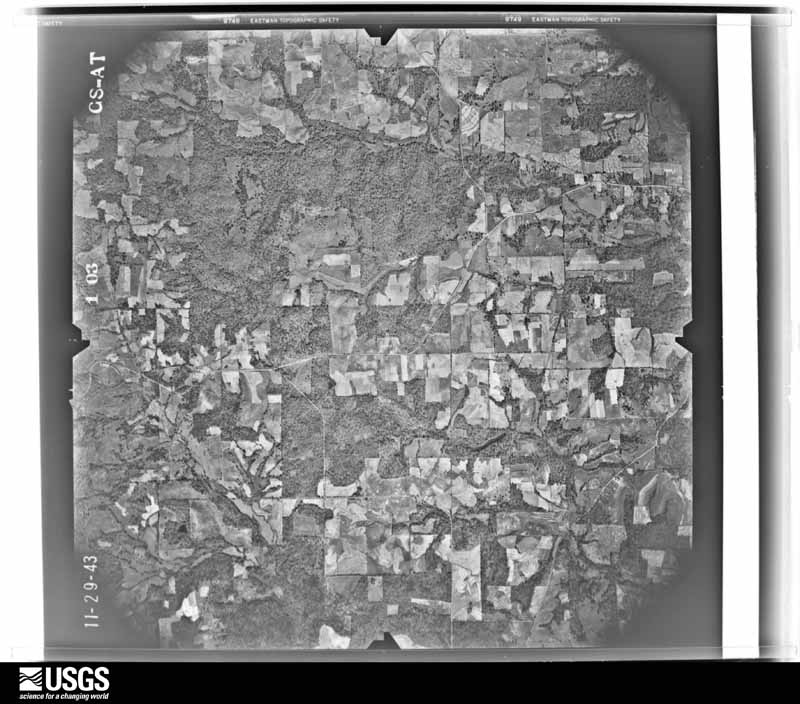
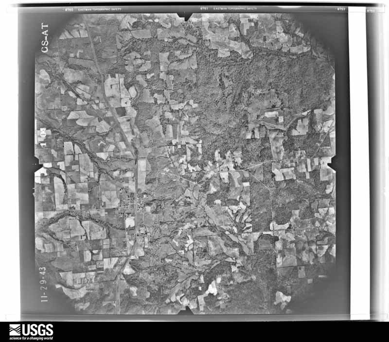
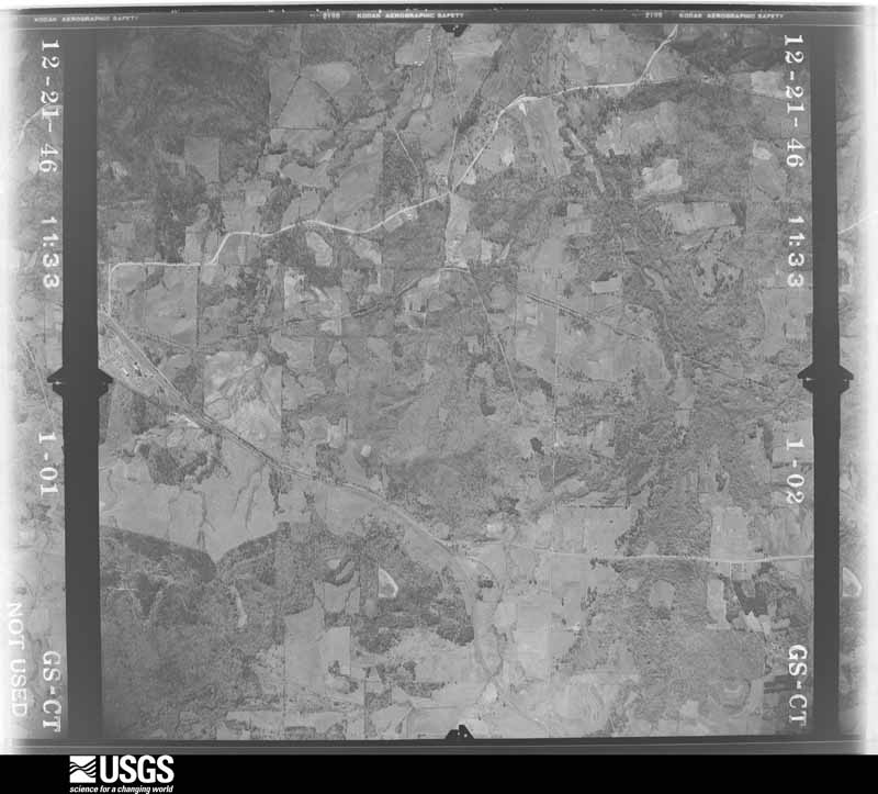
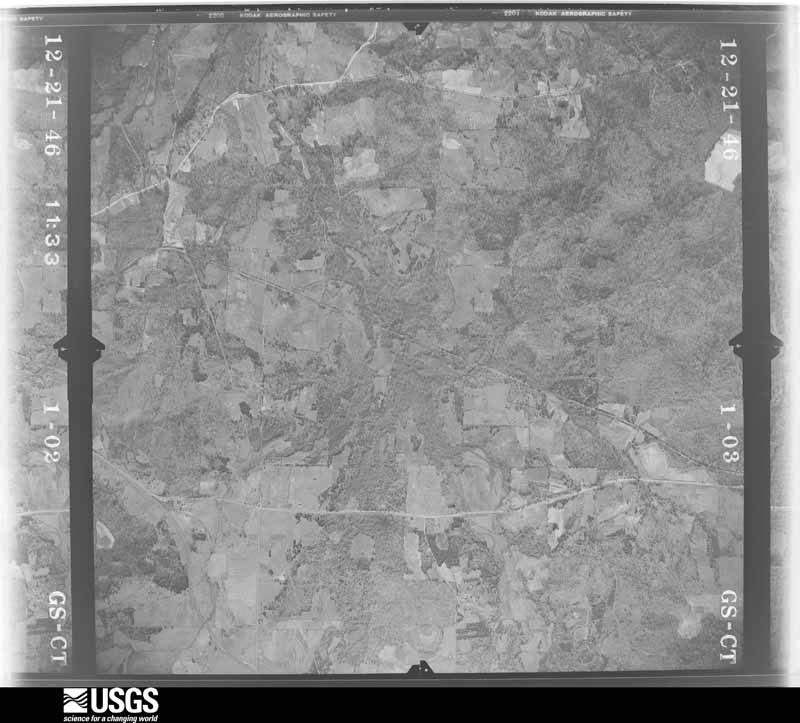
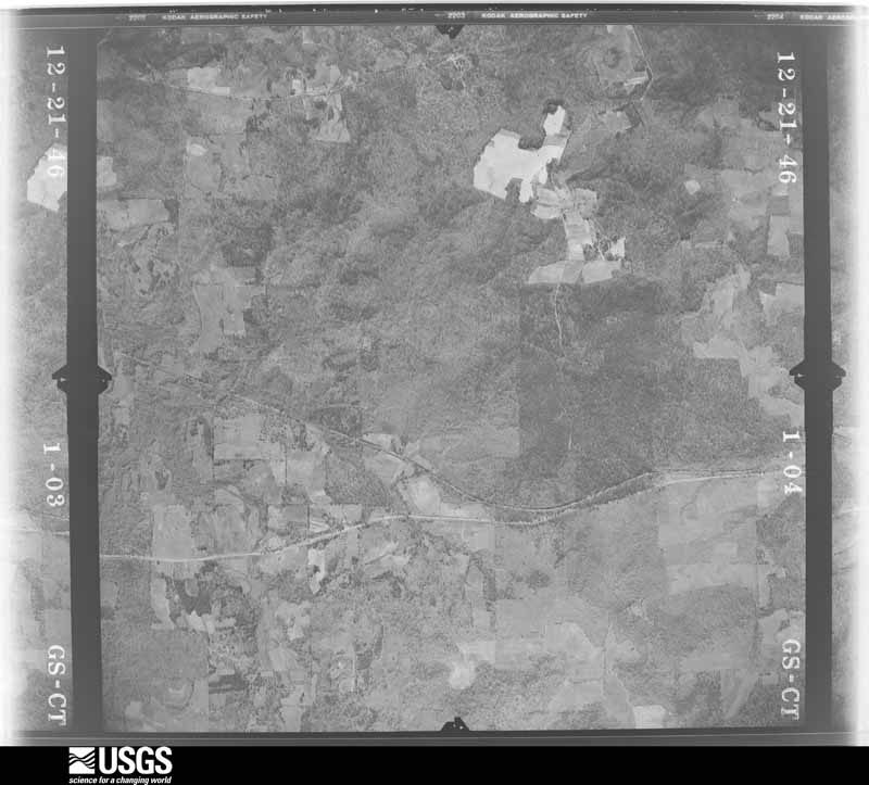
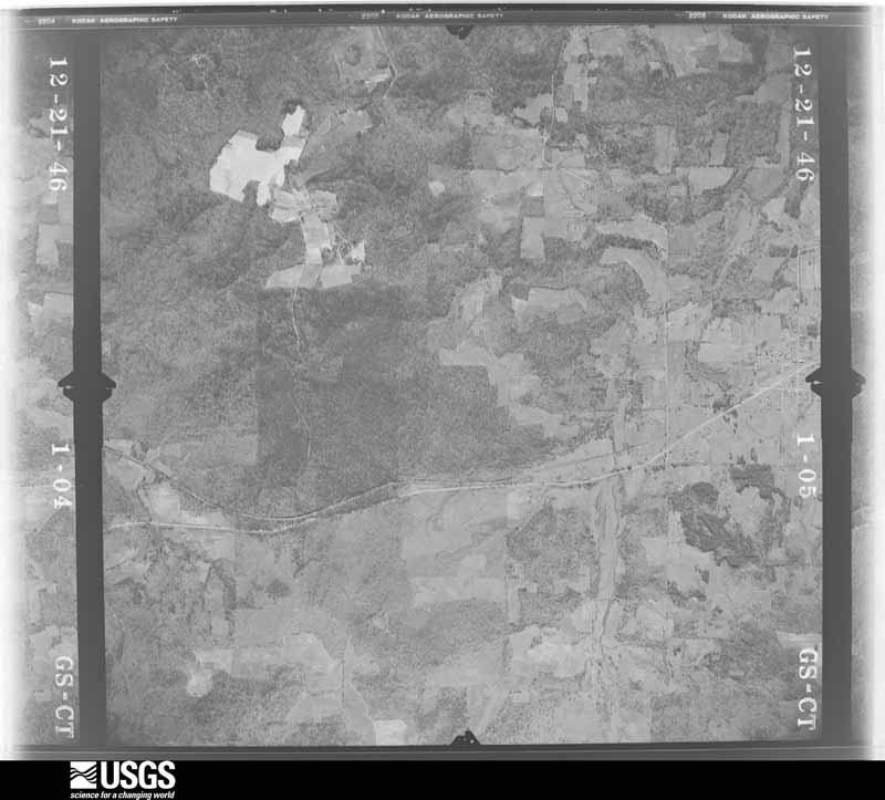
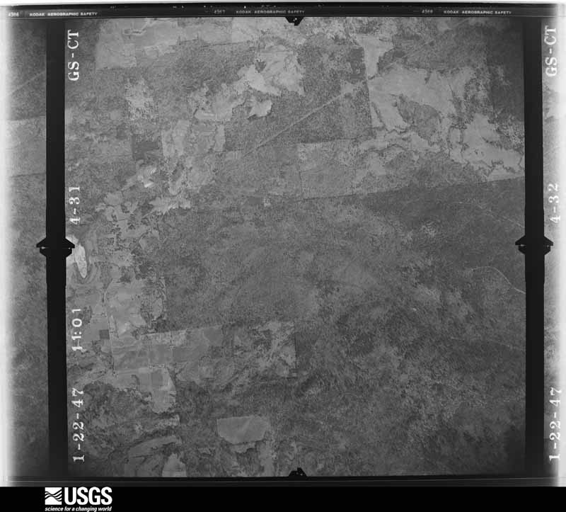
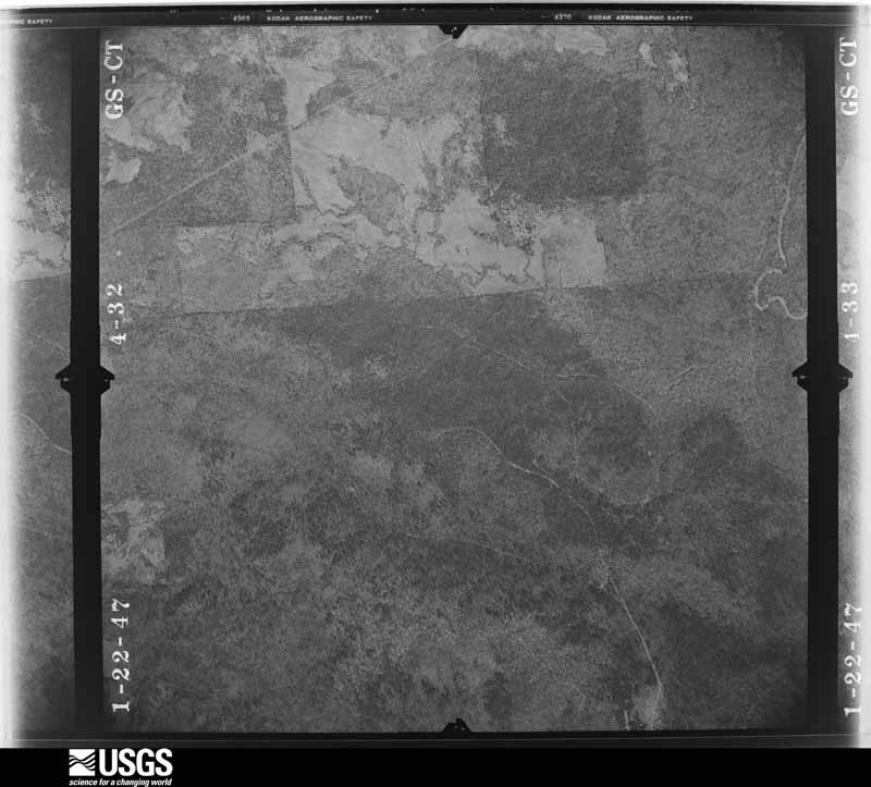
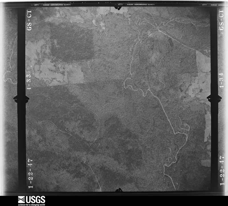
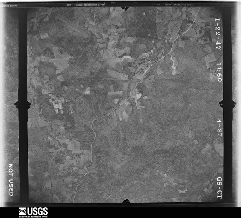
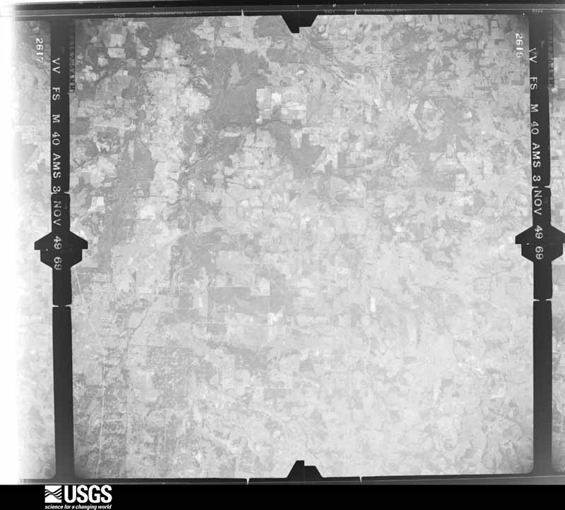
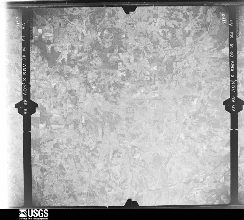
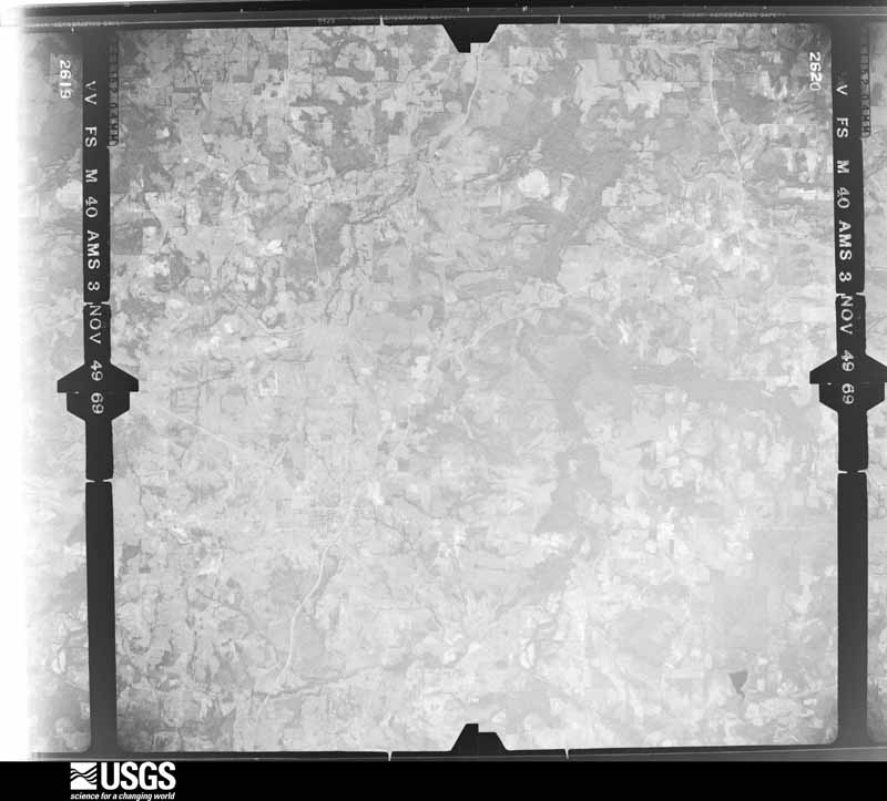
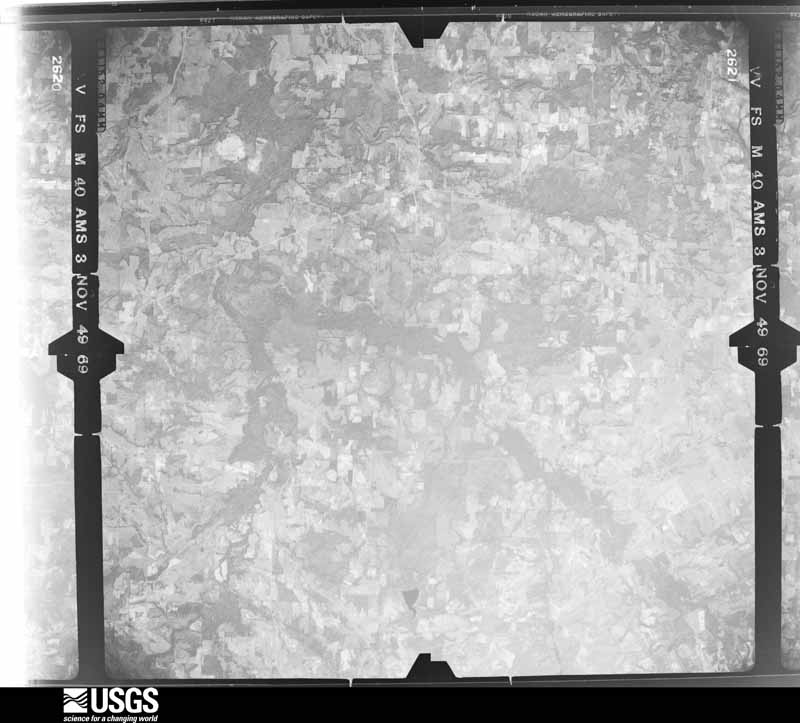
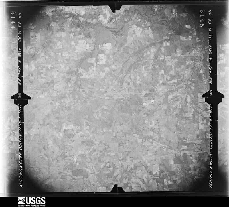
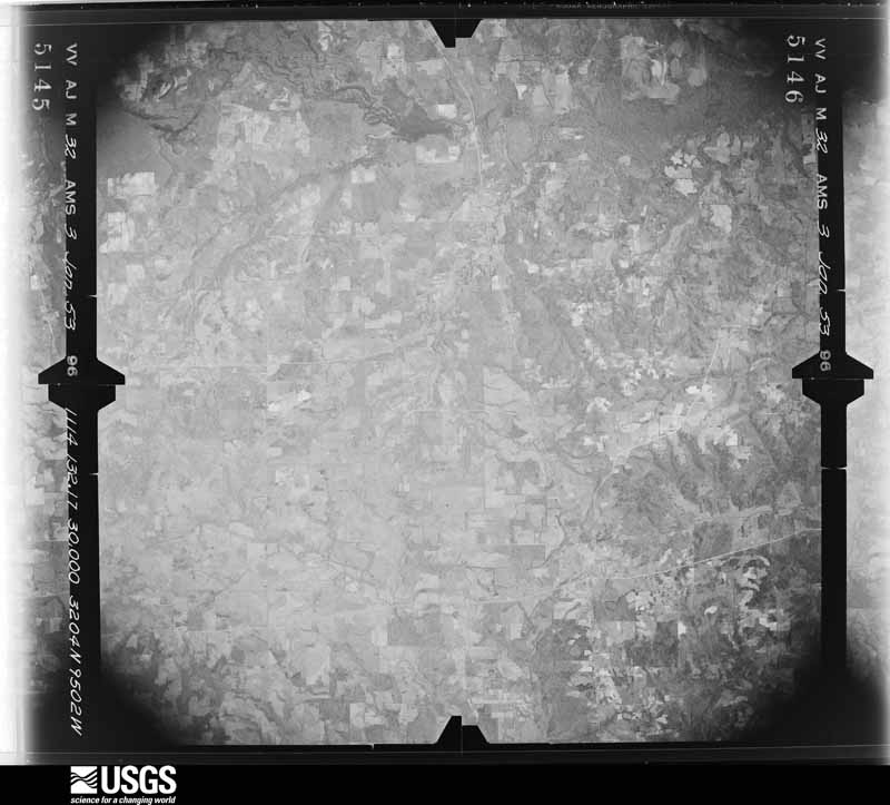
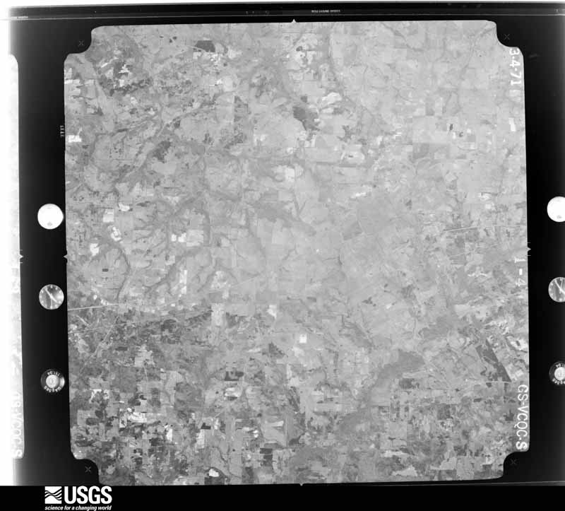
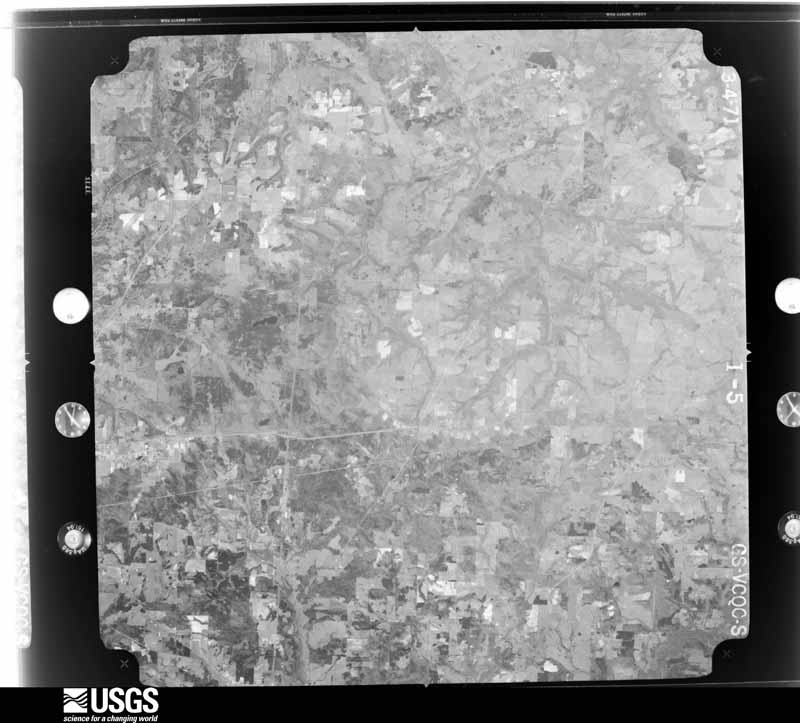
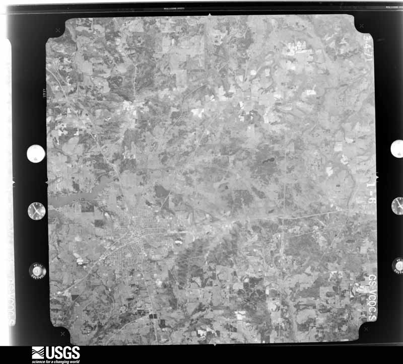
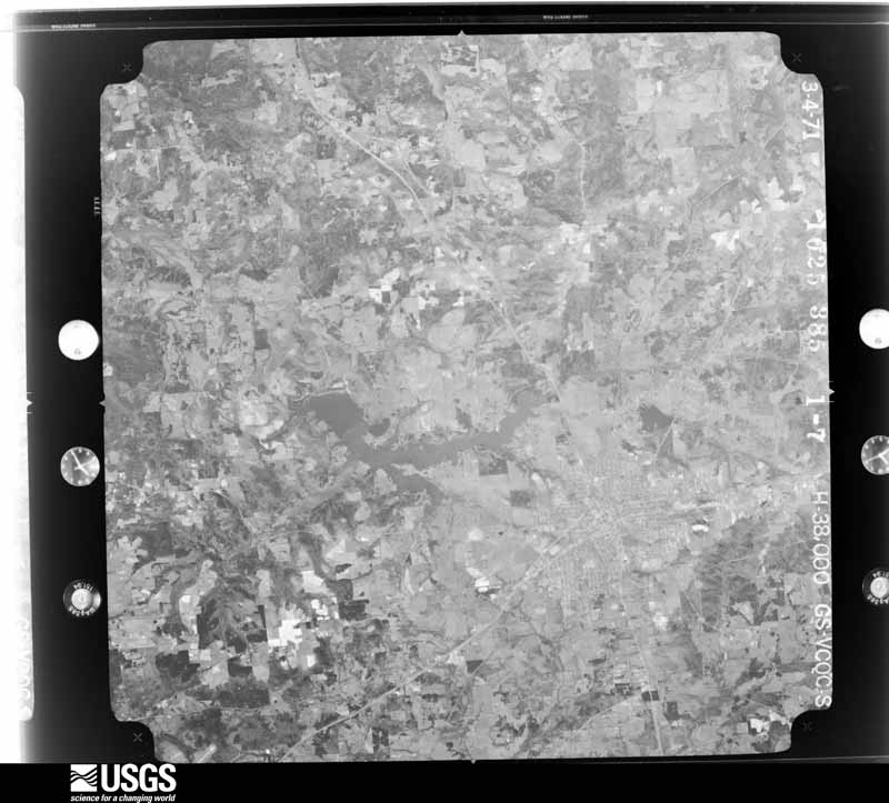
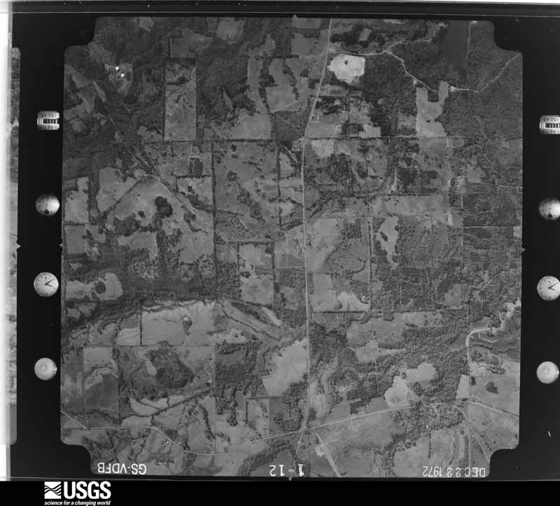
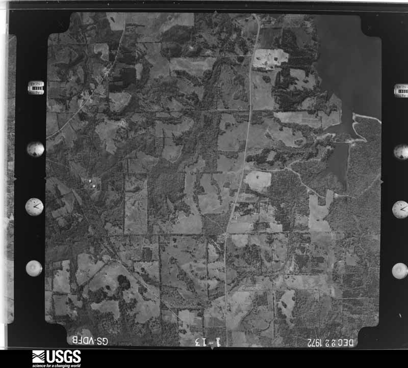
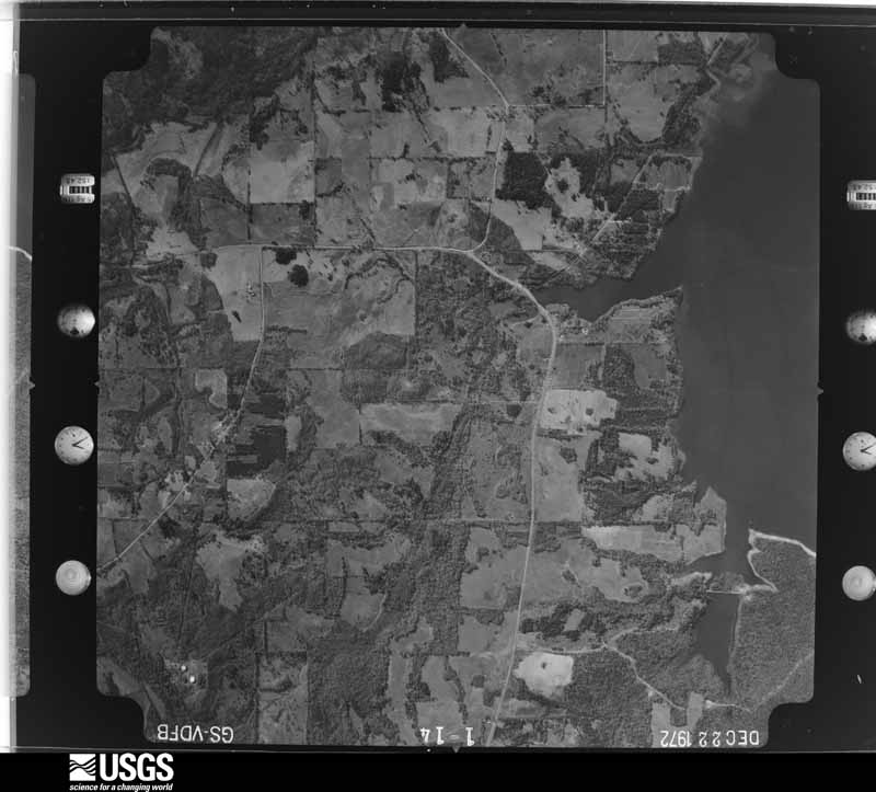
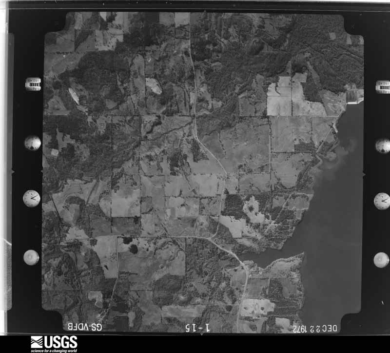
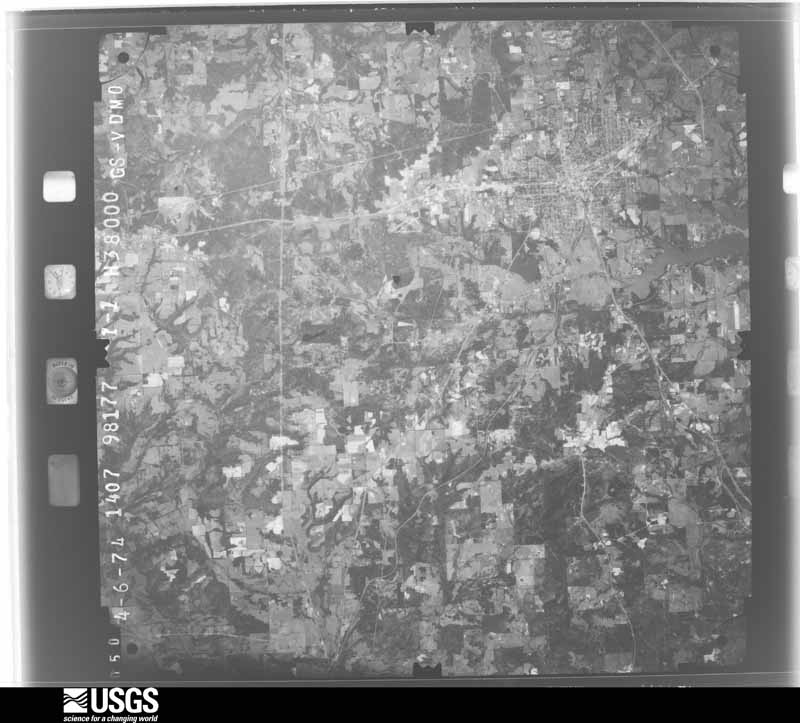
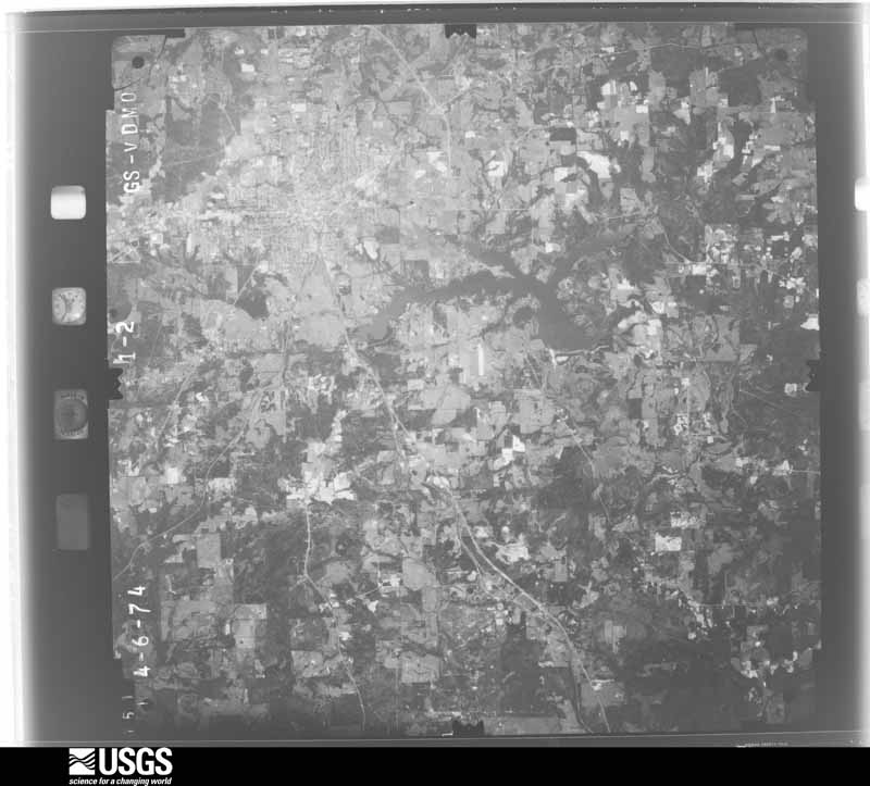
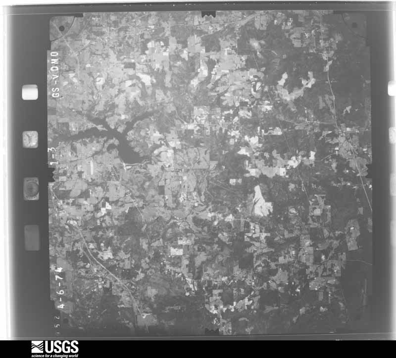
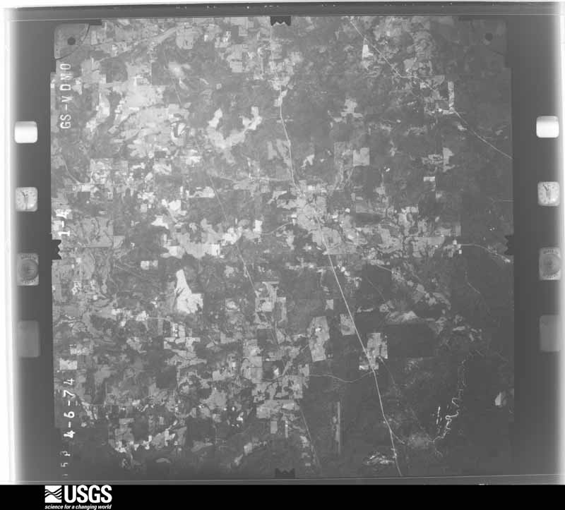
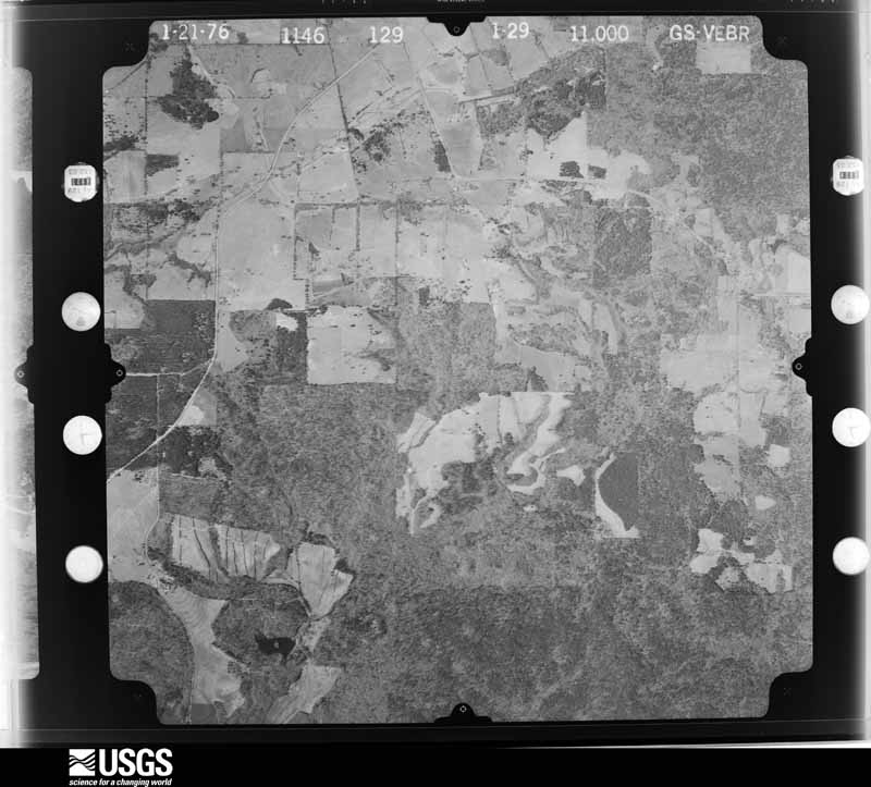
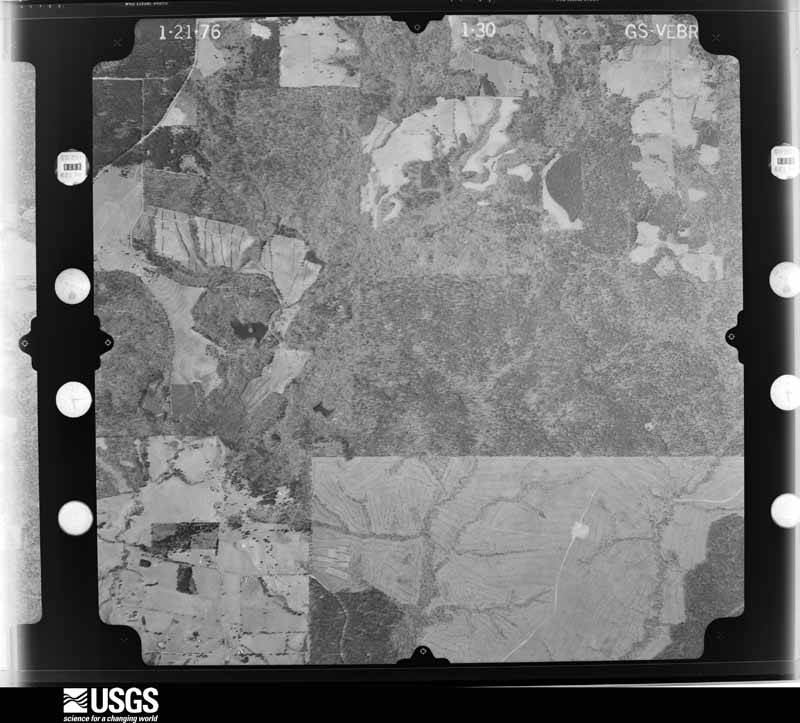
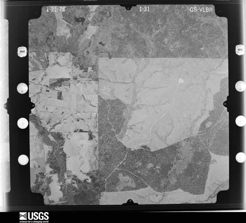
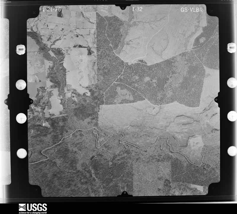
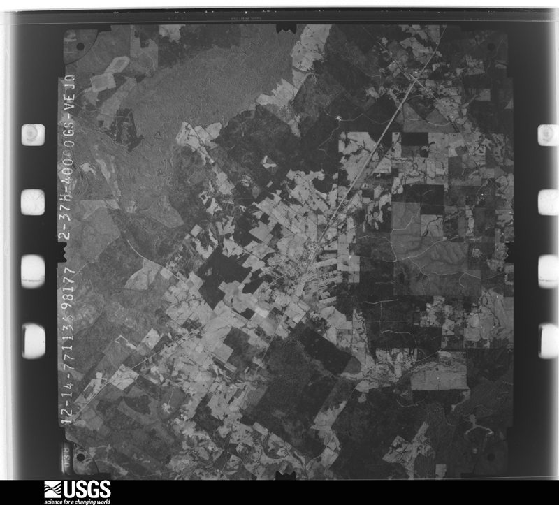
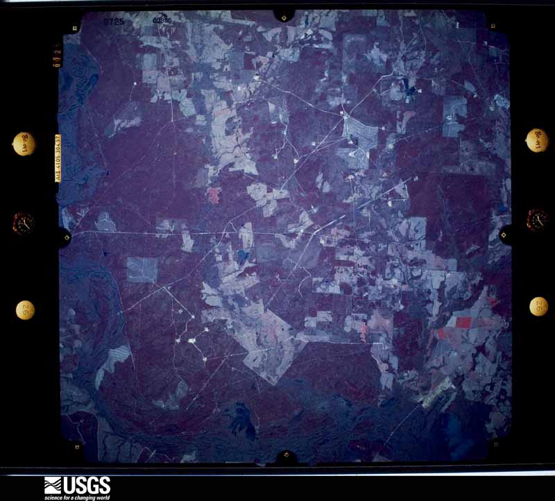
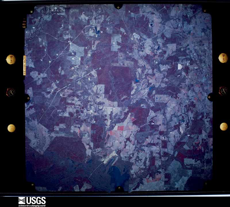
Flown by the U.S. Geological Survey between 1937 and 1989, the Aerial Photo Single Frames collection is the definitive mid-century view of the land: fields, roads and rivers as the camera saw them. The Survey holds 1,897 frames inside the rectangle that bounds this county; the 42 frames below were taken over the county itself, chosen across the decades of flights (at most four a year from that rectangle), so one flight cannot crowd out the rest. The full set is free to browse and download at EarthExplorer under the dataset Aerial Photo Single Frames.





The thermometers that kept this county's weather, and the gages that measured the flow of its streams, as the federal records hold them. The extremes below are measured values from those records, not estimates.
Who lived here in 1950, one enumeration district at a time, as the Census Bureau described each district. Each row opens its official National Archives result, with Population Schedules and ED Maps available there.
Every wildfire the federal occurrence database records inside this county: 3,204 of them, burning about 23,344 acres. 122 started naturally and 117 were recorded as arson. Each settlement page carries the fires within five miles of it.
| Reported cause | Fires |
|---|---|
| Debris and open burning | 1893 |
| Missing data/not specified/undetermined | 580 |
| Equipment and vehicle use | 170 |
| Natural | 122 |
| Arson/incendiarism | 117 |
| Power generation/transmission/distribution | 98 |
| Smoking | 88 |
| Railroad operations and maintenance | 43 |
| Misuse of fire by a minor | 42 |
| Recreation and ceremony | 40 |
| Fireworks | 7 |
| Other causes | 4 |
The five largest, by the area the report gives. Three of them were set deliberately.
| Date | Cause | Size | Reported by | Name on the report |
|---|---|---|---|---|
| 30 August 2011 | Natural | 2,314 acres | Texas A & M Forest Service | HENDERSON - 475 |
| 11 September 2011 | Arson/incendiarism | 1,783 acres | Texas A & M Forest Service | DOTSON FIRE |
| 3 April 1996 | Arson/incendiarism | 735 acres | Texas A & M Forest Service | not named |
| 14 January 2009 | Debris and open burning | 275 acres | Texas A & M Forest Service | CR 3703 (TARRANT) |
| 28 July 2005 | Natural | 265 acres | Texas A & M Forest Service | HENDERSON - 140 |
| 7 September 2011 | Missing data/not specified/undetermined | 256 acres | Texas A & M Forest Service | 1218 FIRE |
| 28 July 1998 | Arson/incendiarism | 250 acres | Texas A & M Forest Service | not named |
| 4 June 2009 | Debris and open burning | 243 acres | Texas A & M Forest Service | GRASS FIRE |
Every settlement page carries the fires within five miles of it - see the settlement index below.
The NOAA Storm Events Database holds 576 reports for this county, causing 3 deaths, 110 injuries and about $40,636,780 in recorded property damage. Each settlement page carries the reports that name it.
| Kind of event | Reports |
|---|---|
| Thunderstorm Wind | 250 |
| Hail | 199 |
| Flash Flood | 67 |
| Tornado | 45 |
| Flood | 11 |
| Lightning | 4 |
The most serious of them, by death, then injury, then recorded damage. The accounts are quoted exactly as the forecast office filed them.
| When | Event | Place named | Harm | What the report says |
|---|---|---|---|---|
| November 1987 | Tornado (F3) | not stated | 2 killed, 75 hurt, $25,000,000 | no account filed |
| April 2019 | Tornado (EF3) | Morrill | 1 killed, 20 hurt, $10,000,000 | An EF-3 tornado with maximum estimated winds near 160 mph that originally touched down in Houston County about 9 miles northeast of Crockett crossed the Neches River into Southwest Cherokee County, where it snapped and uprooted thousands of trees along its path. The tornado paralleled Highway 21 before reaching the city of Alto, where it severely damaged or destroyed approximately 20 homes. Included along the damage path southwest of Alto was the Caddo Mounds Sate Historic Site building, which had its roof torn off, nearly all of its exterior walls removed, and was left to only a few interior rooms in the building. Several people were outside running to get inside for safety when the building was destroyed, resulting in one fatality and a number of serious injuries. Multiple cars in the parking lot were thrown 150 yards into trees and across Highway 21. The tornado then went on to lift and destroy a double wide mobile home, throwing it 50 yards. As the tornado continued along Highway 21, its most significant damage was at a single family home and the St. Thomas Chapel which saw their roofs and exterior walls collapsed. Winds were estimated at 150 mph at this point. ||As the tornado neared Alto, it destroyed three homes along Highway 294 and Singletary Street, recording high end EF-3 damage as it wiped the lower level of a two story home off of its foundation and left the top story of the home 20 yards away from the foundation. This damage was reviewed by tornado damage experts from the National Weather Service (NWS) Southern Region Headquarters, NWS Norman, and the Warning Decision Training Division who all agreed it was high end EF-3 damage (with maximum estimated winds near 160 mph) based off how the home walls were separated from the bolts which anchored them to the foundation. Surrounding damage indicators also validated the EF-3 tornado determination. ||The storm then went on to destroy several homes and mobile homes at nearby Alto Elementary School and Alto High School. It also snapped a metal power pole before crossing Highway 69, where it went on to snap and debark several trees in rural Cherokee County north of Alto before crossing FM 343 and into extreme Northwest Nacogdoches County. |
| September 2012 | Lightning | Jacksonville | 4 hurt | Four people were taken to the hospital after lightning struck the Fred Douglass Elementary School parking lot in Jacksonville, Texas. Officials said the incident happened around 3:45 p.m. in the school pickup line. The school superintendent said that from what he understands, two teachers were helping students into cars. Another teacher and her daughter were walking to their car to go home. He said he believes lightening probably struck a puddle in the parking lot and electricity was conducted through the water.|The names of the victims have not been released by authorities, but they did confirm two of the victims were white female teachers, between the ages of 30 and 40, helping students into the vehicles. The others were a white teacher in her mid-20s and her five-to-six year old daughter. One of the ladies was holding an umbrella, and it went into her arm and she felt it go through her chest said a captain with the |Jacksonville Fire Department. Three were taken to Mother Frances Hospital Jacksonville and one to East Texas Medical Center Jacksonville. The injuries were said to be minor. |
| June 1990 | Thunderstorm Wind | not stated | 4 hurt | no account filed |
| June 1973 | Tornado (F3) | not stated | 3 hurt | no account filed |
| April 1991 | Tornado (F3) | not stated | 1 hurt, $250,000 | no account filed |
| February 1965 | Tornado (F2) | not stated | 1 hurt, $250,000 | no account filed |
| April 2023 | Thunderstorm Wind | Henrys Chapel | 1 hurt | A mobile home was rolled over on County Road 4623. A tree was also blown down onto a vehicle on County Road 4619, resulting in an injury to the occupant of the vehicle. Both reports occurred near the Henrys Chapel community. |
| November 1983 | Thunderstorm Wind | not stated | 1 hurt | no account filed |
| April 2016 | Tornado (EF2) | Morrill | $700,000 | An EF-2 tornado with winds estimated between 105-115 mph touched down along County Road 2807 just east of Farm To Market Road 220 South about 4.5 miles southwest of Alto, and lifted north of County Road 2438 about 3 miles north of Alto. Over 27 homes sustained damage, including two homes that completely lost their roofs. Several outbuildings were damaged or destroyed, and at least two travel trailers were destroyed. The total path length was 7.3 miles. |
| April 2019 | Tornado (EF2) | Alto | $600,000 | The same storm that produced an EF-2 tornado over Southern Cherokee County about 6 miles south southwest of Alto produced another EF-2 tornado with maximum estimated winds near 120 mph across the southern and western sections of the city of Alto, where it damaged structures along Highway 21, Blaton Street, and Putnam Avenue. Damage included shifting a single family home off of its foundation and significant roof damage to another home on Quincy Avenue. Several other homes sustained structural damage as the tornado tracked across the west side of Alto and then crossed Highway 69. The tornado then moved across the Alto Independent School District (ISD) and damaged its gymnasium and roofs to structures on the campus. It was near the Alto ISD where a second stronger tornado crossed paths with this tornado as it tore through the western and northern sections of Alto just over an hour later. |
| October 1993 | Tornado (F1) | Neches to | $500,000 | A tornado touched down at Neches, and then moved northeast for approximately five miles in Anderson County before reaching the Cherokee County line. Trailers were destroyed, mobile homes damaged, windows in a house were broken, and trees were blown down. The tornado moved into western Cherokee County at seven miles south of Cuney, and remained on the ground for approximately two miles before lifting at miles west of Jacksonville. In Cherokee County, mobile homes were damaged, and trees and power lines were down, causing several roads to be closed. |
| April 2015 | Tornado (EF2) | Mixon | $300,000 | AN EF-2 tornado first touched down 3.5 miles northeast of Mount Selman, Texas near Hwy. 177 and traveled a path length of 1.77 miles before lifting just north of Hwy. 135 or approximately 5.25 miles northeast of Mount Selman, Texas. The tornado uprooted trees along its path. The Mixon Community was hit the hardest with several homes receiving moderate to severe damage in the Gatewood Estates area of Mixon. One home was completely destroyed. |
| July 1996 | Lightning | Rusk | $300,000 | no account filed |
| September 2022 | Lightning | Bullard | $250,000 | Lightning struck a home on FM 2493 in Bullard, setting the house on fire. Unfortunately, the home was destroyed from the fire. |
| April 2019 | Tornado (EF2) | Morrill | $250,000 | An EF-2 tornado with maximum estimated winds near 120 mph touched down in a rural field approximately 2 miles north of the Neches River. It initially snapped several hundred hardwood and softwood trees at their trunks before destroying two single wide mobile homes and ripping the roof off of a single family home at the end of FM 220 near County Road 2806. There, winds were estimated to be at their strongest at approximately 120 mph. The tornado also tossed several antique vehicles near the home and then went on to snap another 20 trees before lifting along FM 220. |
| July 2007 | Flash Flood | Jacksonville | $250,000 | Hwy. 79 was closed near Jacksonville, Texas due to high water. Nearly 20 homes suffered flood damage when Lake Jacksonville rose two feet above normal. The lake had to be closed as several secondary roadways leading into and around the lake were flooded. |
| April 1991 | Tornado (F2) | not stated | $250,000 | no account filed |
| November 2025 | Tornado (EF1) | Tucula | $200,000 | An EF-1 tornado with estimated maximum winds near 100 mph touched down just east of Highway 135 three miles northeast of Downtown Jacksonville, and three miles southwest of the Tecula community near its intersection with County Road 4212. Here, the tornado was at its strongest, where it destroyed a large barn next to a residential home. Metal roofing was thrown several hundred yards to the northeast while also puncturing a large tree trunk, and nearby trees were snapped and power lines were downed. Along County Road 4212, a carport was thrown on top of a garage and a neighboring manufactured home had its back porch blown off and thrown into the yard. Farther east along County Road 4212, numerous trees were uprooted and large branches were snapped. As County Road 4212 merged into County Road 4213, another barn was destroyed, and the roof of a carport was blown onto the driveway of a residence. Further north along County Road 4213, multiple large trees were uprooted and large branches were snapped. A nearby manufactured home also displayed significant roof damage, before the tornado lifted within a field near the railroad tracks that run north back to Highway 135. |
| December 2017 | Tornado (EF2) | Circle | $120,000 | An EF-2 tornado with maximum estimated winds near 115 mph touched down along County Road 1857 southwest of Rusk, where it snapped numerous trees and bent a power pole about 45-50 degrees above the ground. One home on County Road 2210 had its roof ripped off. The tornado crossed County Road 2211 where it snapped the tops of several trees, before it tracked across an open field before crossing FM 23. Numerous trees were either snapped or uprooted along FM 23, with portions of a metal roof and shingles beneath it ripped off of a home and thrown into a open field behind the home. A nearby metal outbuilding was also lofted and destroyed. The tornado continued northeast across FM 752 an intensified where it snapped additional trees and broke/bent 5 concrete poles and cracked an additional 2 poles. The tornado lifted shortly thereafter just east of FM 752 south of the city of Rusk. |
| January 2020 | Tornado (EF1) | North Rusk | $105,000 | An EF-1 tornado, with estimated maximum winds near 105 mph, touched down on a farm off of County Road 1619, uprooting several trees. It also broke windows and partially damaged the roof of a home before it destroyed a shed and damaged the roofs of two more homes. The tornado crossed Highway 69 and continued to uproot trees and damage the roofs of two homes before lifting along County Road 1501. |
| April 2011 | Tornado (EF1) | Forest | $100,000 | A high end EF1 tornado began in extreme southeast Cherokee County, Texas just north of the Neches River where it caused roof damage to a home along CR 2829 and blew down several trees. The tornado continued east southeast into Angelina County where it snapped or uprooted dozens of trees and blew down powerlines along FM 1819 around the CR 13 intersection. Several homes in this area also suffered roof damage and a few outbuildings were destroyed. The tornado crossed Choppin Road near Winter Lane where dozens of more trees were snapped or uprooted and additional homes and out buildings suffered damage. Turning more northeast, the tornado continued blowing down numerous trees as it moved over Cheeseland Road and Shirley Lane. The tornado lifted on the west side of Pollock just before crossing Hwy. 69. Winds were estimated near 110 mph. |
| May 2009 | Thunderstorm Wind | Atoy | $100,000 | Several trees were snapped and uprooted. Minor damage was observed to a the roofs of a few homes. Winds were estimated to be near 80 mph. |
| July 2005 | Lightning | Rusk | $100,000 | Lightning struck a home and set in on fire along Hwy 84 near Rusk. |
| March 2021 | Tornado (EF2) | Circle | $75,000 | An EF2 tornado with estimated maximum winds near 120 mph touched down just southwest of Russell Cemetery off of FM 23 south-southwest of the city of Rusk in Cherokee County. The tornado tracked northeast where it crossed Highway 69 with intermittent damage along County Road 1101. The tornado crossed FM 343 and intensified and widened significantly to approximately 500 yards, where several hundred trees were snapped continuously along County Road 1211 and County Road 1209. The tornado then weakened and produced more intermittent damage as it crossed over into extreme Northwest Nacogdoches County just west of the Sacul community. |
| June 2005 | Thunderstorm Wind | Bullard | $70,000 | Several trees were downed as well as numerous powerpoles. 2 barns were blown down. |
| October 2009 | Thunderstorm Wind | Bullard | $60,000 | Several trees were downed near the Bullard community including trees down on a home with the tree destroying a garage. Fences were also downed with the winds. |
| June 2004 | Thunderstorm Wind | Jacksonville | $60,000 | Large trees downed including some across a few automobiles. No injuries reported. |
| July 2024 | Tornado (EF1) | Alto | $50,000 | An EF-1 tornado with estimated maximum winds near 105 mph touched down along Highway 294 about 1.5 miles west of Alto, where numerous trees were snapped and uprooted. A single family home along Highway 294 had its metal roof peeled off, with numerous adjacent trees snapped and uprooted. The tornado then lifted shortly thereafter in an open pasture near CR 2328. |
| February 2012 | Thunderstorm Wind | Henrys Chapel | $50,000 | Two 100 foot tall pine trees fell on a home in Troup, Texas, destroying two of the home's bedrooms. |
| December 2006 | Tornado (F0) | Jacksonville | $50,000 | The National Weather Service conducted a storm survey in Northwest Cherokee County, Texas. It was concluded that a supercell thunderstorm produced a Tornado approximately 13 miles northwest of the town of Jacksonville, Texas. Several trees were uprooted and snapped off a mid trunk along FM 346. One large tree fell on top of a mobile home in the Shady Brook Mobile Home Community. |
| October 1994 | Thunderstorm Wind | Jacksonville | $50,000 | Trees were blown down by high winds. Numerous county roads were closed by fallen trees. |
| April 1993 | Thunderstorm Wind | Rusk | $50,000 | Two mobile homes were blown over by thunderstorm winds. |
| November 1996 | Thunderstorm Wind | Jacksonville | $50,000 | no account filed |
| November 2000 | Thunderstorm Wind | Jacksonville | $40,000 | Wind damage reported to a jail house and numerous trees down. |
| March 2022 | Tornado (EF2) | Alto | $35,000 | An EF-2 tornado with estimated maximum winds near 125 mph touched down in a field just north of Highway 21 in Southern Cherokee County a couple miles east-northeast of Alto, where it downed large limbs in a convergent pattern. As the tornado crossed Highway 241, it uprooted trees, and damaged two metal outbuildings just off of County Road 2525. The tornado continued to uproot and snap trees in more rural areas unreachable by vehicles, before crossing over into Northwest Nacogdoches County. The damage across Southern Cherokee County was consistent with EF-1 tornado winds up to 100 mph, although the tornado strengthened to an EF-2 shortly after crossing over into Northwest Nacogdoches County. |
| February 2013 | Thunderstorm Wind | Forest | $30,000 | Trees and powerlines were downed west of Wells, Texas. These trees damaged a residence and a nearby barn on FM. 1911 and near the intersection with FM. 1247. |
| June 2016 | Flash Flood | North Rusk | $25,000 | Highway 60 was closed in Rusk, Texas. Some businesses reported to have had water in them as well. |
| March 2008 | Thunderstorm Wind | Craft | $25,000 | Along U.S. Hwy. 69, south of Jacksonville, Texas, several trees and a power line sustained damage. Damage also occured at a greenhouse on the west side of U.S. Hwy. 69. NWS survey concluded straight line winds caused this damage. |
| March 1983 | Tornado (F0) | not stated | $25,000 | no account filed |
| March 1980 | Tornado (F1) | not stated | $25,000 | no account filed |
| March 1961 | Tornado (F2) | not stated | $25,000 | no account filed |
| May 2015 | Thunderstorm Wind | Hume | $20,000 | Several trees were downed southwest of Jacksonville, including a tree on a home along CR 3208 and 3209. |
| June 2012 | Thunderstorm Wind | Bullard | $20,000 | A report of a two foot diameter tree fell into a carport in Bullard, Texas. The tree damaged a car in the carport as well. |
| April 2007 | Thunderstorm Wind | Rusk | $20,000 | A few trees were downed including one that fell across an 18-Wheeler in Maydelle. |
| April 2016 | Tornado (EF1) | Reklaw | $15,000 | An EF-1 tornado with estimated winds between 95-105 mph touched down in a wooded area southwest of the Reklaw community, and moved northeast through a cluster of new chicken coops before lifting. |
| October 2010 | Thunderstorm Wind | Jacksonville | $15,000 | A metal roof was blown off a house in the community of Cove Springs along CR. 3406 northeast of Jacksonville, Texas. |
| April 1999 | Tornado (F2) | Maydelle | $15,000 | Abandoned chicken coop collapsed, large oaks (3 feet in diameter) uprooted otherwise minor damage to vehicles and about 10 homes. |
| January 2020 | Thunderstorm Wind | Wells | $10,000 | A downburst snapped two cedar trees, partially damaged a small outbuilding, and removed a few shingles from a roof of a single family home along FM 1911 just northeast of County Road 2628. |
| October 2010 | Thunderstorm Wind | Henrys Chapel | $10,000 | A roof was taken off a barn south of Troup, Texas. |
| July 2007 | Flash Flood | Jacksonville | $10,000 | Moderate flooding was reported in the areas surrounding Jacksonville, Texas. Local law enforcement closed some city streets. One vehicle was seen floating down a flooded roadway. Stretches of Hwy 69 and 79 near town were flooded as well. |
| July 2007 | Flash Flood | Rusk | $10,000 | Hwy. 84 near Rusk was closed due to high water. Numerous areas flooded and the Texas State Railroad track between Maydelle and Rusk sustained serious flood damage as an embankment washed out near county road 2108. |
| April 2000 | Thunderstorm Wind | Gallatin | $10,000 | Numerous trees down in town including one through the roof a local church. |
| June 2021 | Tornado (EF0) | Reklaw | $5,000 | An EF-0 tornado with estimated maximum winds near 80 mph briefly touched down at the Ramey Plant Farm. It collapsed the metal lining structure of two greenhouses before breaking several large branches on a mature hardwood tree. The tornado lifted as it crossed Highway 204. At the Reklaw City Hall, intense ear pressure was experienced by one of the city workers as the tornado passed nearby. |
| April 1997 | Thunderstorm Wind | Rusk | $5,000 | Numerous reports of trees and powerlines toppled. Some homes and businesses damaged from the fallen trees. A 5-ton air conditioning unit was blown off a school building. |
| July 1994 | Thunderstorm Wind | Alto | $5,000 | A few trees were blown down by high winds. |
| May 1994 | Thunderstorm Wind | Jacksonville | $5,000 | Trees were blown down by thunderstorm winds. |
| July 1994 | Thunderstorm Wind | Jacksonville | $5,000 | Trees and power lines were blown down by thunderstorm winds. |
| May 1994 | Thunderstorm Wind | Alto | $5,000 | Trees were blown down by thunderstorm winds. |
| May 1994 | Thunderstorm Wind | Jacksonville | $5,000 | Trees were blown down by thunderstorm winds. |
The Survey's mineral resources record lists 22 workings inside this county. 10 still produce and 12 are closed or unrecorded. Each settlement page carries the workings within five miles of it.
| Commodity | Workings |
|---|---|
| Iron | 10 |
| Ball Clay | 7 |
| Clay | 2 |
| Kaolin, Bentonite | 1 |
| Bentonite | 1 |
| Silica | 1 |
The least common of them first, because a county's hundredth gravel pit says nothing its first ten did not.
| Where | Site | Commodity | Status | Recorded |
|---|---|---|---|---|
| Durham & Polk | Bentonite | Unknown | ||
| Padreco-Alto Sands | Silica | Unknown | ||
| Troup Pit | Kaolin, Bentonite | Producer | Sedimentary | |
| Troupe | Clay | Producer | ||
| Unnamed Pit | Clay | Producer | Sedimentary | |
| A D Green Pit | Ball Clay | Past Producer | ||
| Henderson Clay Products Pit East | Ball Clay | Producer | ||
| Henderson Clay Products Pit West | Ball Clay | Producer | ||
| Reliance Clay Products Pit | Ball Clay | Producer | ||
| Reliance Clay Products Pit | Ball Clay | Past Producer | ||
| Southern Clay Products Pit | Ball Clay | Past Producer | ||
| W.A. White No.1 & No.2 Pits | Ball Clay | Unknown | ||
| Banks and Cherokee | Iron | Unknown | ||
| Citizens State Bank | Iron | Unknown | ||
| Hassell Mountain | Iron | Unknown | ||
| Hawes Tract | Iron | Unknown | ||
| Hudson Pit & Plant | Iron | Producer | ||
| J. P. Acker | Iron | Producer | ||
| Mount Haven | Iron | Producer | ||
| Mount Selman | Iron | Producer | ||
| Prior Mountain | Iron | Unknown | ||
| Rusk Deposits | Iron | Past Producer | Goethite, Hematite |
Named settlements recorded in the Geographic Names Information System, each with the topographic sheets covering it. Villages, hamlets and abandoned places alike. Each is shown with the nearest named watercourse or landform and the survey quadrangle it falls on. The 3 places that were also surveyed for fire insurance come first, with the number of atlases and photographs held for them.
Alto census division · 75925 · On Alto Branch · Alto quadrangle
10 sheets, 1946 to 1984
Fire insurance: 2 atlases
Jacksonville census division · 75766 · Jacksonville West quadrangle
10 sheets, 1951 to 1984
Fire insurance: 9 atlases
Rusk census division · 75785 · On College Creek · Rusk quadrangle
11 sheets, 1943 to 1984
Fire insurance: 2 atlases
Rusk census division · 75785 · On Stevens Branch · Pryor Mountain quadrangle
10 sheets, 1946 to 1984
Alto census division · 75925 · Near Graveyard Hill · Alto quadrangle
10 sheets, 1946 to 1984
Mount Selman census division · 75757 · On Flat Creek · Berryville quadrangle
15 sheets, 1946 to 1991
Jacksonville census division · 75766 · On East Gum Creek · Jacksonville West quadrangle
10 sheets, 1951 to 1984
Jacksonville census division · 75766 · Near Jim Beard Mountain · Todd City quadrangle
10 sheets, 1951 to 1984
Jacksonville census division · 75759 · On Jordan Creek · Berryville quadrangle
15 sheets, 1946 to 1991
Rusk census division · 75764 · On Little Turnpike Creek · Jacksonville East quadrangle
12 sheets, 1943 to 1984
New Summerfield census division · 75789 · On Piney Branch · Tecula quadrangle
15 sheets, 1937 to 1991
New Summerfield census division · 75789 · On Grissom Creek · Griffin quadrangle
15 sheets, 1937 to 1991
Rusk census division · 75785 · On McCann Creek · Pryor Mountain quadrangle
10 sheets, 1946 to 1984
Jacksonville census division · 75766 · Near Luker Mountain · Jacksonville West quadrangle
10 sheets, 1951 to 1984
Jacksonville census division · 75766 · On East Gum Creek · Jacksonville West quadrangle
10 sheets, 1951 to 1984
Mount Selman census division · 75757 · Near Wolf Hollow · Mount Selman quadrangle
14 sheets, 1946 to 1991
Rusk census division · 75785 · On Black Branch · Pryor Mountain quadrangle
10 sheets, 1946 to 1984
New Summerfield census division · 75766 · New Summerfield quadrangle
11 sheets, 1943 to 1984
Jacksonville census division · 75766 · On Barber Branch · Jacksonville East quadrangle
12 sheets, 1943 to 1984
Jacksonville census division · 75766 · Jacksonville West quadrangle
10 sheets, 1951 to 1984
Jacksonville census division · 75766 · On Cat Creek · Jacksonville West quadrangle
10 sheets, 1951 to 1984
New Summerfield census division · 75780 · Near Gill Mountain · New Summerfield quadrangle
11 sheets, 1943 to 1984
Rusk census division · 75766 · Near Bowman Mountain · Todd City quadrangle
10 sheets, 1951 to 1984
Jacksonville census division · 75766 · On Sixmile Creek · Jacksonville West quadrangle
10 sheets, 1951 to 1984
New Summerfield census division · 75766 · On Sampson Creek · New Summerfield quadrangle
11 sheets, 1943 to 1984
New Summerfield census division · 75766 · On Bend About Creek · New Summerfield quadrangle
11 sheets, 1943 to 1984
New Summerfield census division · 75766 · On Rock Hill · New Summerfield quadrangle
11 sheets, 1943 to 1984
New Summerfield census division · 75766 · On Mars Branch · New Summerfield quadrangle
11 sheets, 1943 to 1984
Wells census division · 75925 · On Sandy Creek · Kennard NE quadrangle
12 sheets, 1950 to 2004
Jacksonville census division · 75766 · On Hetty Branch · Tecula quadrangle
15 sheets, 1937 to 1991
Alto census division · 75925 · On Allen Branch · Weches quadrangle
12 sheets, 1946 to 2004
10 topographic sheets and 9 fire insurance atlases, 1885 to 1949
10 topographic sheets and 2 fire insurance atlases, 1925 to 1934