 Block
BlockFrom the record
2 National Register listings published here.
Sources: the National Register database, National Park Service
26 topographic sheets cover 10 settlements here, and 2 properties are on the National Register of Historic Places.
2 National Register listings published here.
Sources: the National Register database, National Park Service
Every property in this county listed on the National Register of Historic Places, with the year it was listed and the federal nomination document.
| Photograph | Property | Type | Listed | Reference |
|---|---|---|---|---|
 | E. B. Black House | building | 1978 | 78002923 |
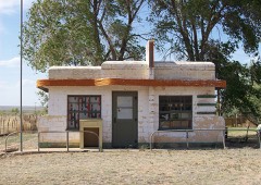 | Glenrio Historic District | district | 2007 | 06001258 |
Drawn when these were printed as single large sheets: the town seen from the air, and the county divided into its farms with every owner named. Each opens the original at the Library of Congress.

Selected from the Digital Public Library of America's 13 image records catalogued for this county. Every one shown here carries a public-domain status or a licence that permits reuse on a site that carries advertising; non-commercial, share-alike and restricted images are excluded. The selection is spread across the county's towns (at most eight per town), so no single institution's bulk upload crowds out the rest. Each opens the holding library's record, and the complete set at the Digital Public Library of America is one click away.


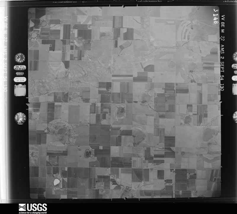
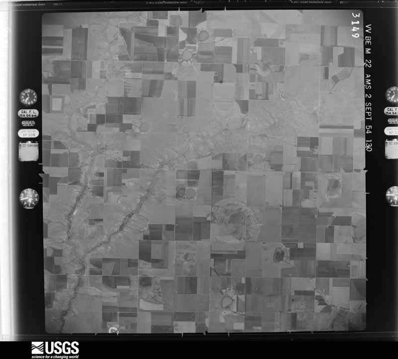
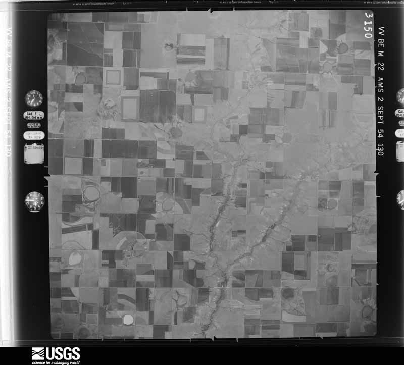
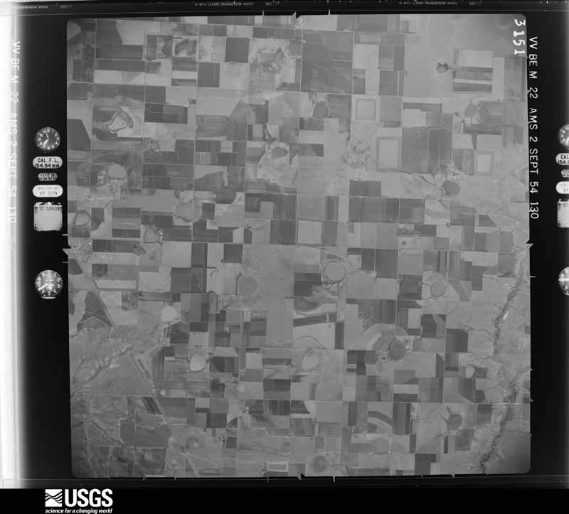
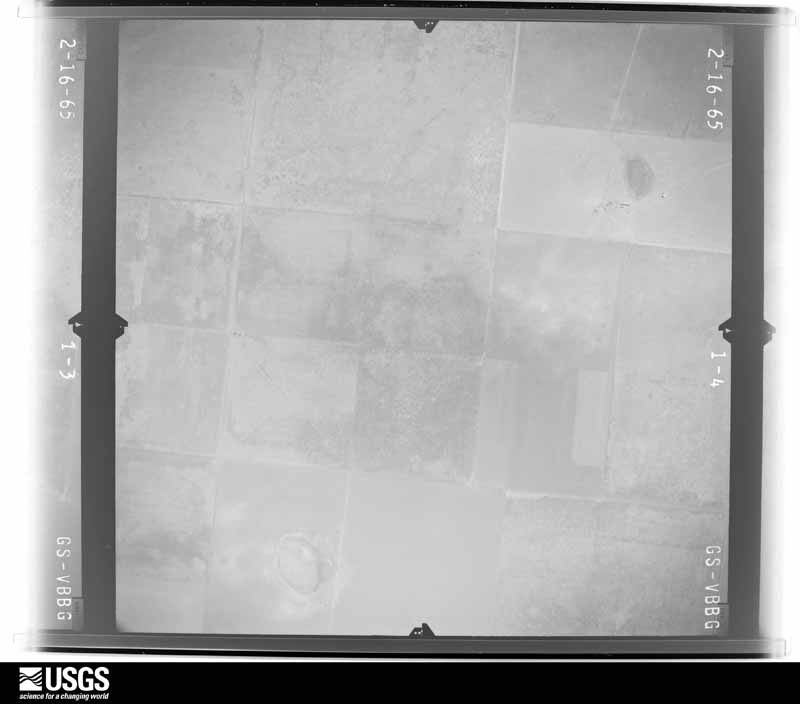
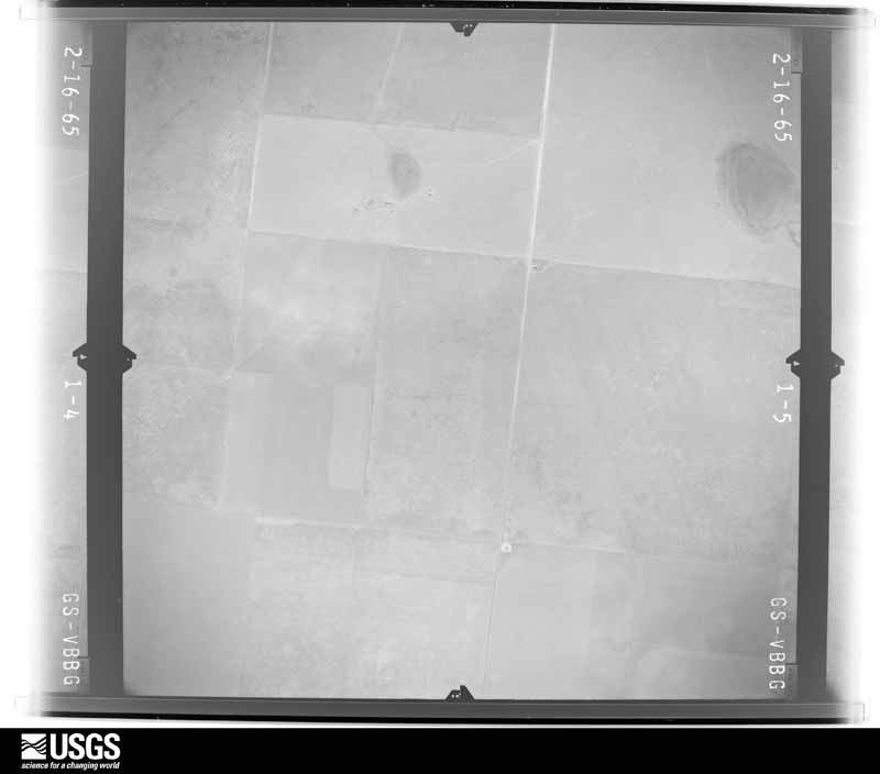
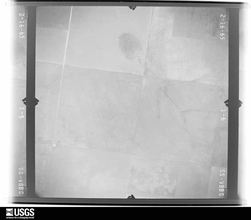
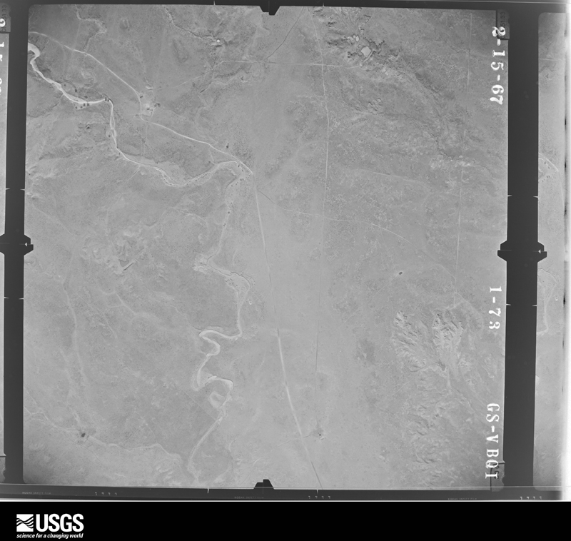
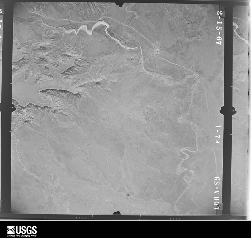
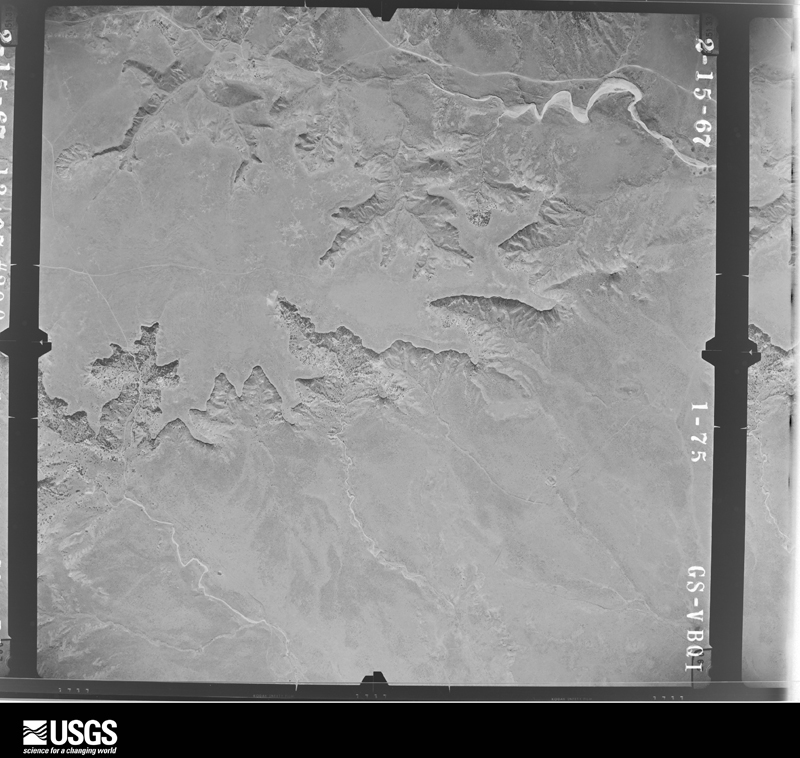
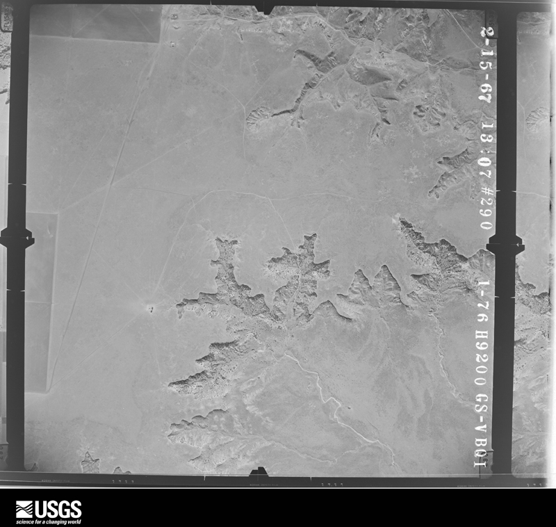
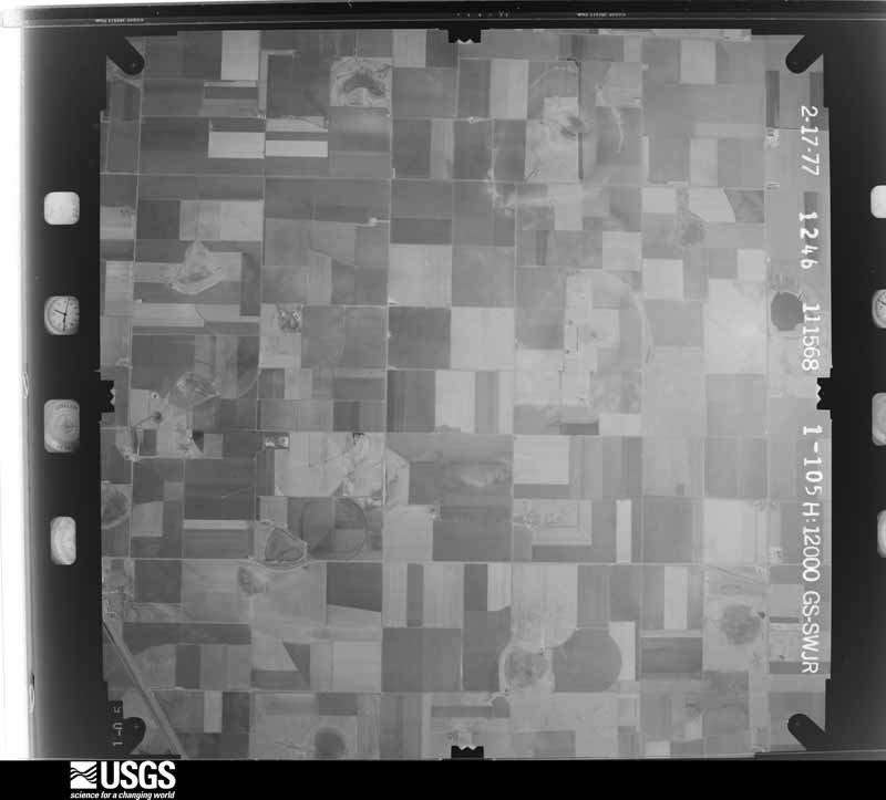
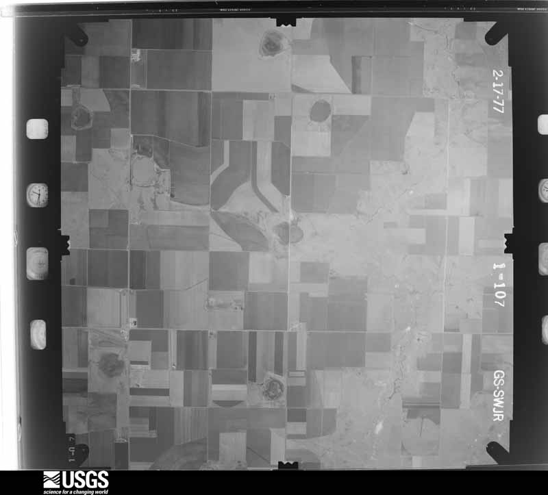
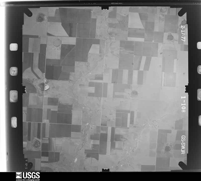
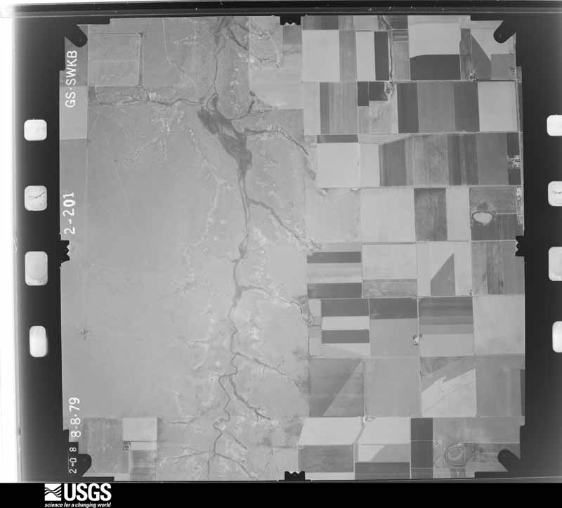
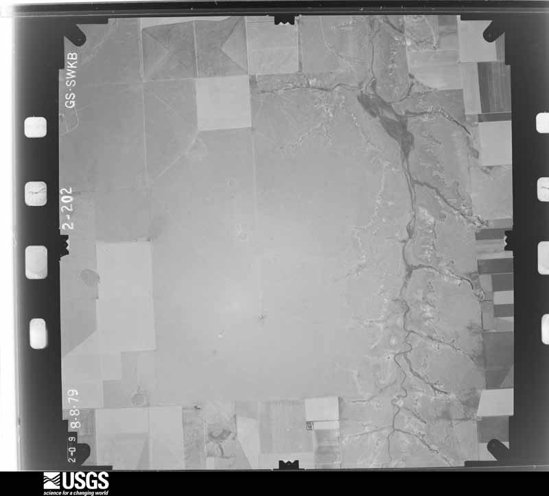
Flown by the U.S. Geological Survey between 1937 and 1989, the Aerial Photo Single Frames collection is the definitive mid-century view of the land: fields, roads and rivers as the camera saw them. The Survey holds 2,260 frames inside the rectangle that bounds this county; the 26 frames below were taken over the county itself, chosen across the decades of flights (at most four a year from that rectangle), so one flight cannot crowd out the rest. The full set is free to browse and download at EarthExplorer under the dataset Aerial Photo Single Frames.

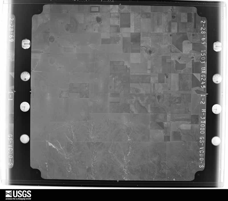
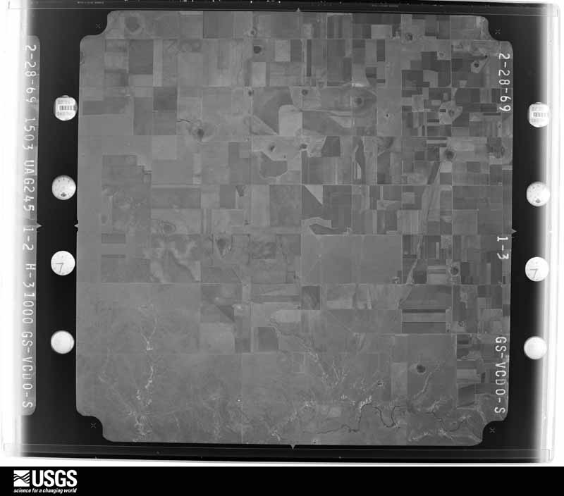
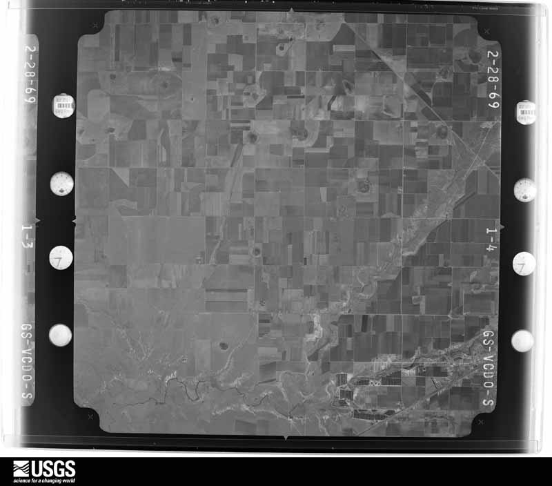
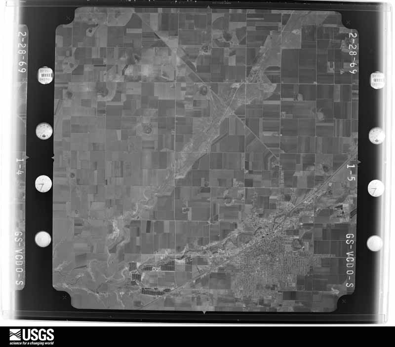





The thermometers that kept this county's weather, and the gages that measured the flow of its streams, as the federal records hold them. The extremes below are measured values from those records, not estimates.
Who lived here in 1950, one enumeration district at a time, as the Census Bureau described each district. Each row opens its official National Archives result, with Population Schedules and ED Maps available there.
Every wildfire the federal occurrence database records inside this county: 176 of them, burning about 22,109 acres. 33 started naturally and 5 were recorded as arson. Each settlement page carries the fires within five miles of it.
| Reported cause | Fires |
|---|---|
| Equipment and vehicle use | 50 |
| Missing data/not specified/undetermined | 45 |
| Natural | 33 |
| Power generation/transmission/distribution | 16 |
| Debris and open burning | 15 |
| Smoking | 8 |
| Arson/incendiarism | 5 |
| Railroad operations and maintenance | 2 |
| Recreation and ceremony | 1 |
| Misuse of fire by a minor | 1 |
The five largest, by the area the report gives. None of them was recorded as arson.
| Date | Cause | Size | Reported by | Name on the report |
|---|---|---|---|---|
| 24 May 2011 | Power generation/transmission/distribution | 7,600 acres | Texas A & M Forest Service | SIERRA BLANCA FIRE |
| 20 May 2006 | Natural | 4,888 acres | Texas A & M Forest Service | BIPPUS CHURCH |
| 20 April 2011 | Power generation/transmission/distribution | 1,000 acres | Texas A & M Forest Service | ADRIAN FIRE |
| 18 October 2009 | Equipment and vehicle use | 1,000 acres | Texas A & M Forest Service | JARVIS |
| 27 December 2010 | Equipment and vehicle use | 936 acres | Texas A & M Forest Service | OLDHAM COUNTY |
| 26 May 2006 | Natural | 772 acres | Texas A & M Forest Service | not named |
| 20 July 2011 | Equipment and vehicle use | 656 acres | Buffalo Lake National Wildlife Refuge | GABLE FIRE |
| 6 September 2019 | Natural | 654 acres | Texas A & M Forest Service | BRIDWELL SOUTH FIRE |
Every settlement page carries the fires within five miles of it - see the settlement index below.
The NOAA Storm Events Database holds 598 reports for this county, causing no deaths, 24 injuries and about $1,905,560 in recorded property damage. Each settlement page carries the reports that name it.
| Kind of event | Reports |
|---|---|
| Hail | 348 |
| Thunderstorm Wind | 179 |
| Tornado | 41 |
| Flash Flood | 19 |
| Flood | 6 |
| Heavy Rain | 5 |
The most serious of them, by death, then injury, then recorded damage. The accounts are quoted exactly as the forecast office filed them.
| When | Event | Place named | Harm | What the report says |
|---|---|---|---|---|
| April 1971 | Tornado (F3) | not stated | 24 hurt | no account filed |
| June 2003 | Thunderstorm Wind | Hereford | $280,000 | A metal barn was reported destroyed and a cotton stripper was lifted and tossed by the high winds. |
| May 1978 | Tornado (F0) | not stated | $250,000 | no account filed |
| May 1978 | Tornado (F0) | not stated | $250,000 | no account filed |
| September 2004 | Flash Flood | Hereford | $180,000 | no account filed |
| May 1996 | Tornado (F2) | Hereford | $150,000 | This tornado blew the roof and some exterior walls of a brick veneer home down and destroyed the adjacent barn. Two other homes were seriously damaged. Two farm hands rode out the storm in the brick veneer home without injuries. The track is an estimate. |
| April 2003 | Thunderstorm Wind | Hereford | $125,000 | The roof off of an apartment building was blown off and damage was reported to vehicles in the parking lot. |
| June 2008 | Flash Flood | Hereford | $68,000 | The Deaf Smith County Emergency Manager reported that Park Avenue in Hereford was closed between U.S. Highway 385 and U.S. Highway 60. Also...water was reported in a few homes in the San Jose Community just south of Hereford. Water was four feet deep over Farm to Market Road 1055 about one mile south of Hereford. No injuries were reported. |
| October 2002 | Hail | Hereford | $60,000 | A center-pivot irrigation system was overturned by the damaging winds. Also...the hail damaged thousands of acres of cotton anywhere from a half mile to one and a half miles wide. The winds also nearly flattened a field of sorghum. |
| April 2025 | Tornado (EF1) | Hereford | $50,000 | This tornado touched down near County Road K and FM 1058. It caused damage to a property near this intersection, including some minor roofing damage and a few snapped trees. As this tornado crossed FM1058, seemingly tracking to the north to northwest, it broke a couple of power poles. It looked to continue along County Road K, where it deposited some debris and partially overturned an irrigation pivot before lifting. Given limited damage indicators, track of the tornado is also estimated using radar data. The maximum estimated winds with this tornado was 100mph. Thank you to the Deaf Smith County Emergency Management for their help in the completion of this tornado survey. |
| September 2011 | Thunderstorm Wind | Milo Center | $50,000 | The public reported that a center irrigation pivot had been overturned by the thunderstorm wind gust. There were no reports of injuries or fatalities. |
| June 2025 | Tornado (EF0) | Simms | $45,000 | Several visuals from storm spotters indicated that funnel clouds and perhaps brief touchdowns occurred before this tornado from the same supercell as it crossed western Deaf Smith County. However, this tornado did overturn a couple of pivots south of |County Road 27 and east of Highway 214. This appears to have been the only damage noted from this tornado so the exact length of the track is unknown due to the lack of damage indicators. The estimated wind speed from this tornado was 85mph. |
| August 2011 | Thunderstorm Wind | Simms | $30,000 | A trained spotter reported that a metal granary was blown about seventy-five yards north of where it was originally located. There were no reports of injuries or fatalities. |
| August 2008 | Flash Flood | Hereford | $28,000 | The Hereford Fire Department made high water rescues of motorists caught in low spots along U.S. Highway 60 east of Hereford. No injuries were reported. |
| September 2007 | Thunderstorm Wind | Hereford | $28,000 | Eighty-foot power poles were destroyed by high winds along U.S. Highway 60 just southwest of Hereford. The time of the damage was estimated based on radar and the wind speed was also estimated. |
| May 2005 | Hail | Hereford | $26,000 | The hail chopped leaves from corn crops...destroyed tall wheat...and denuded cotton plants. Also...the large hail stripped the paint off a barn between Milo Center and Dawn and broke the skylights of a farm home five miles north of the Hereford Municipal Airport. |
| July 1981 | Tornado (F1) | not stated | $25,000 | no account filed |
| April 1976 | Tornado (F1) | not stated | $25,000 | no account filed |
| June 1960 | Tornado (F0) | not stated | $25,000 | no account filed |
| June 2004 | Thunderstorm Wind | Hereford | $23,000 | Large trees were reported blown over by the high winds with one tree landing on a pickup truck. There was also large glass blown out of a building in the town of Bootleg. |
| June 2008 | Thunderstorm Wind | Hereford | $18,000 | Strong thunderstorm winds blew the roof off of a mobile home and also blew down power lines in Hereford. The gusts were estimated in part based on damage. |
| June 2025 | Hail | Milo Center | $15,000 | Hail fell that ranged mostly quarter size to ping pong ball size. However, there were some rogue 2 inch to tennis ball sized hailstones mixed in. |
| June 2009 | Thunderstorm Wind | Hereford | $15,000 | The Hereford Fire Department reported that a roof had been blown off a lumber yard and that small tree limbs were downed by the strong thunderstorm wind gusts. |
| June 2009 | Thunderstorm Wind | Hereford | $14,000 | The Deaf Smith County Emergency Manager reported that ten power poles had been blown down near the intersection of Farm to Market Road 2856 and Farm to Market Road 1058 west of Hereford by the thunderstorm wind gusts. Also...a well house had been blwon away off of Farm to Market Road 1057 about eight miles north of Farm to Market Road 1058. |
| April 2025 | Hail | Walcott | $10,000 | Hail ranging from golfball size to hen egg size fell along Texas Highway 214. |
| May 2008 | Thunderstorm Wind | Hereford | $10,000 | Trained spotter reported that a barn had blown some forty feet away from its original place. |
| May 2024 | Hail | Hereford | $10,000 | no account filed |
| July 2009 | Thunderstorm Wind | Milo Center | $9,000 | The broadcast media reported that power lines were on U.S. Highway 385 at the intersection with County Road 25 while several power poles were leaning. The broadcast media also reported that a tin roof and wooden debris were scattered across both sides of U.S. Highway 385 and that large tree branches were strewn across the road. |
| June 2009 | Thunderstorm Wind | Hereford | $8,000 | A trained spotter reported that the thunderstorm wind gusts caused damage to some roofing material and also that numerous tree limbs had been blown down. |
| October 2000 | Thunderstorm Wind | Hereford | $8,000 | Power lines were blown down...barn was destroyed and a roof was blown off of a mobile home. |
| August 2004 | Thunderstorm Wind | Hereford | $8,000 | no account filed |
| June 2009 | Thunderstorm Wind | Hereford | $6,000 | The Deaf Smith County Emergency Manager reported that thunderstorm wind gusts had blown down some power poles west of Hereford. |
| July 2009 | Thunderstorm Wind | Milo Center | $6,000 | The Hereford Fire Department reported that a few power poles had been blown down about one and a half to two miles north of Ford Road along U.S. Highway 385. |
| August 2008 | Thunderstorm Wind | Dawn | $6,000 | The public reported several high line power poles were snapped at the intersection of Farm to Market Road 809 and Farm to Market Road 2587...and the winds were estimated to be between fifty-two and sixty-one knots. |
| July 2009 | Thunderstorm Wind | Milo Center | $5,000 | The Hereford Fire Department reported that power poles had been blown down at the intersection of County Road 27 and U.S. Highway 385. |
| April 1999 | Thunderstorm Wind | Hereford | $5,000 | no account filed |
| June 1996 | Thunderstorm Wind | Hereford | $5,000 | no account filed |
| June 1994 | Hail | Hereford | $5,000 | no account filed |
| August 2009 | Thunderstorm Wind | Hereford | $3,000 | The Hereford Cooperative Observer estimated thunderstorm wind gusts of fifty-two knots along with blowing dirt. The Cooperative Observer also reported that there was damage to some small tree limbs and fences. |
| June 2008 | Thunderstorm Wind | Hereford | $3,000 | The strong thunderstorm winds broke off four inch tree limbs. |
| June 2008 | Hail | Hereford | $3,000 | The public reported that the large hail destroyed sky lights in a home near County Road 3 and Farm to Market Road 1057. |
| April 2025 | Hail | Bootleg | $3,000 | no account filed |
| April 1971 | Tornado (F1) | not stated | $2,500 | no account filed |
| June 1958 | Tornado (F1) | not stated | $2,500 | no account filed |
| August 2013 | Thunderstorm Wind | Hereford | $2,000 | A line of thunderstorms moved eastward across Deaf Smith County during the evening hours of the 8th. As the line moved towards the town of Hereford (Deaf Smith County), another embedded core descended and produced a downburst. This downburst knocked power lines down across the city of Hereford (Deaf Smith County) as reported by the Deaf Smith County Emergency Manager. The line continued moving eastward across the county after producing this downburst, and no injuries were reported in association to this damage. |
| July 2009 | Thunderstorm Wind | Milo Center | $2,000 | The Hereford Fire Department reported that two power poles had been blown down at the intersection of U.S. Highway 385 and County Road 21. |
| June 2025 | Flood | Simms | $1,000 | There were some locations where three to five inches of moving water accumulated on the road. Other isolated spots had one to two inches. Ditches were full in several spots and fields were flooded. |
| August 2020 | Thunderstorm Wind | Milo Center | $1,000 | Siding was pulled off of a home. Pea sized hail also reported. |
| July 2009 | Thunderstorm Wind | Hereford | $1,000 | The public reported that a fence had been blown down. |
| August 2013 | Thunderstorm Wind | Hereford | $500 | A line of thunderstorms moved eastward across Deaf Smith County during the evening hours of the 8th. As the line moved towards the town of Hereford (Deaf Smith County), an embedded core descended and produced a localized downburst. This downburst knocked limbs off of trees and broke a skylight of a house 2 miles south-southwest of Hereford (Deaf Smith County). The line continued moving eastward across the county after producing this downburst, and no injuries were reported in association to this damage. |
| May 1982 | Tornado (F0) | not stated | $30 | no account filed |
| May 1957 | Tornado (F0) | not stated | $30 | no account filed |
| May 2025 | Hail | Hereford | - | A supercell thunderstorm produced half dollar sized hail in Hereford. |
| May 2025 | Thunderstorm Wind | Hereford | - | Winds gusted between 59 and 68 mph between 2054CDT and 2059CDT. |
| April 2025 | Tornado (EFU) | Bootleg | - | This tornado was viewed by local fire department from the intersection of FM 1057 and FM 1058. Per collaboration with radar imagery it appeared to move slowly to the northeast before dissipating. No known damage occurred with this tornado and has been given the rating of EFU. |
| August 2024 | Thunderstorm Wind | Walcott | - | Wind gusts of 58mph or greater occurred for three minutes with the peak being at 909pm. |
| May 2023 | Hail | Simms | - | Light hail accumulation occurred at the time or report. |
| May 2023 | Flash Flood | Hereford | - | The parking lot of Dameron Park was flooded. Around 2 inches of rain was measured in 30 minutes by local ground observation stations. |
| May 2023 | Flash Flood | Hereford | - | Local media had reported that water was getting into businesses around Hereford. |
| May 2023 | Flash Flood | Hereford | - | Multiple vehicles with people inside, wound up in the ditch on US Highway 60. Reports of 6 inches of hail and 4 inches of water in the area. Water from Tierra Blanca Creek was reported to overtake the bottom of the Highway 60 bridge and start flowing over the highway. |
The Survey's mineral resources record lists 1 working inside this county. It is closed or unrecorded. Each settlement page carries the workings within five miles of it.
| Commodity | Workings |
|---|---|
| Sand and Gravel, Construction | 1 |
The least common of them first, because a county's hundredth gravel pit says nothing its first ten did not.
| Where | Site | Commodity | Status | Recorded |
|---|---|---|---|---|
| State Hwy Pit No. 58-121-F | Sand and Gravel, Construction | Unknown |
Named settlements recorded in the Geographic Names Information System, each with the topographic sheets covering it. Villages, hamlets and abandoned places alike. Each is shown with the nearest named watercourse or landform and the survey quadrangle it falls on.
Hereford West census division · Glenrio quadrangle
5 sheets, 1954 to 1968
No longer a settlement
The vanished settlements of Deaf Smith County: the places named above that are no longer on the map.