 Block
BlockFrom the record
3 National Register listings published here.
Sources: the National Register database, National Park Service
31 topographic sheets cover 9 settlements here, and 3 properties are on the National Register of Historic Places.
3 National Register listings published here.
Sources: the National Register database, National Park Service
Every property in this county listed on the National Register of Historic Places, with the year it was listed and the federal nomination document.
| Photograph | Property | Type | Listed | Reference |
|---|---|---|---|---|
| Clarendon Motor Company Building | building | 1994 | 94001309 | |
 | Donley County Courthouse and Jail | building | 1978 | 78002924 |
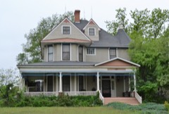 | Martin-Lowe House | building | 1985 | 85002911 |
Drawn when these were printed as single large sheets: the town seen from the air, and the county divided into its farms with every owner named. Each opens the original at the Library of Congress.

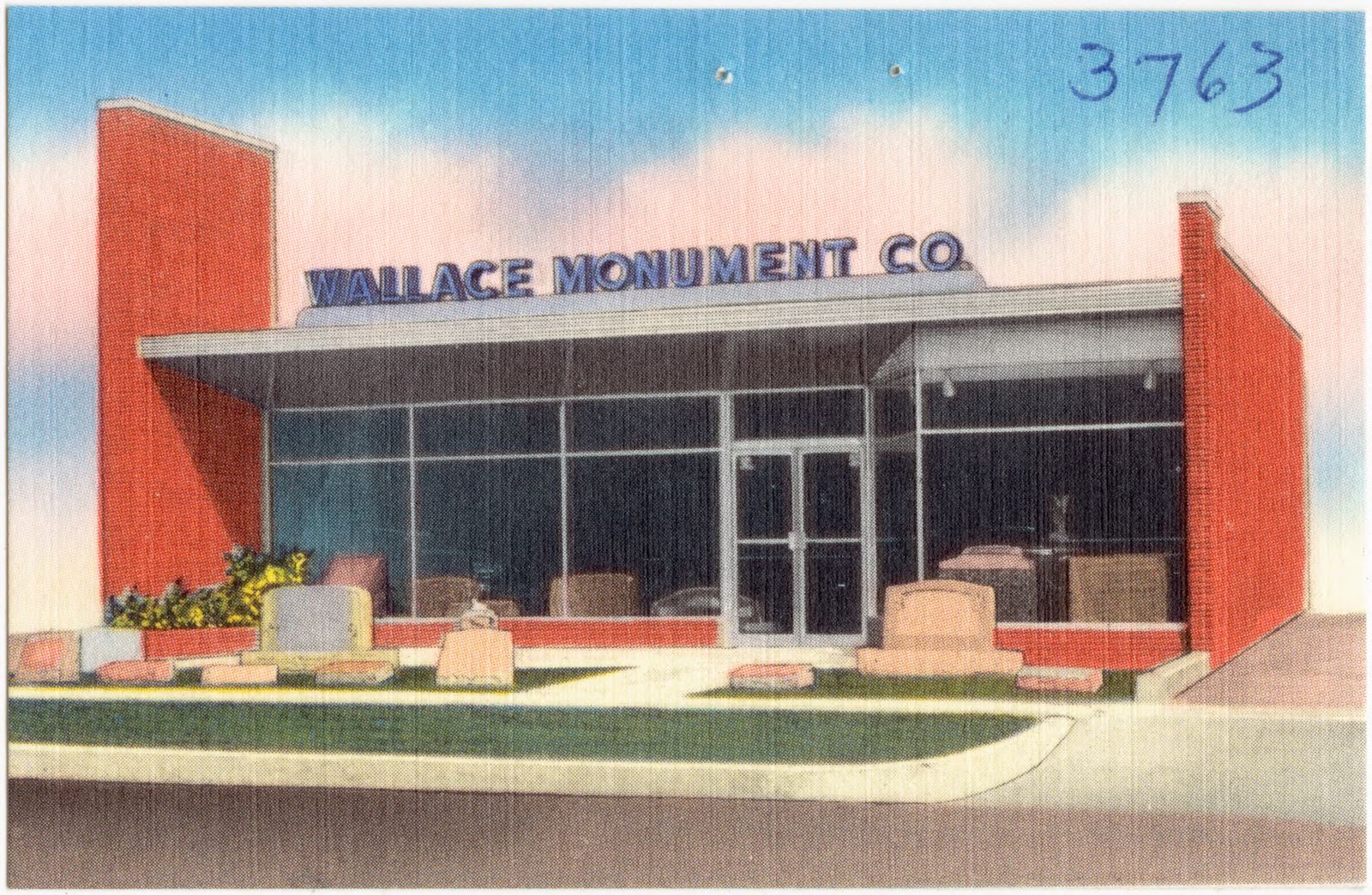
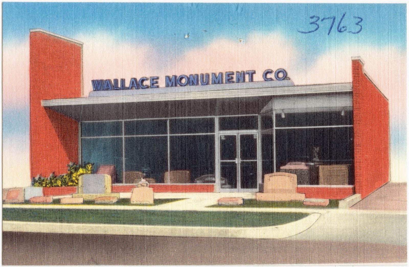
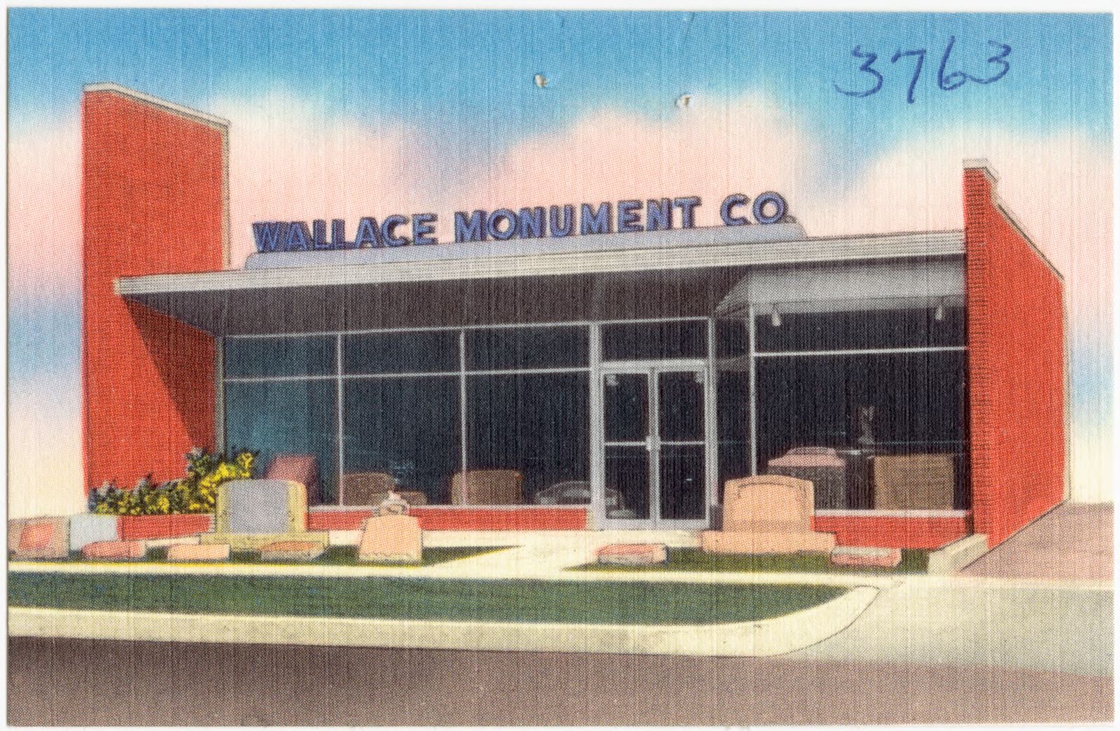
Selected from the Digital Public Library of America's 9 image records catalogued for this county. Every one shown here carries a public-domain status or a licence that permits reuse on a site that carries advertising; non-commercial, share-alike and restricted images are excluded. The selection is spread across the county's towns (at most eight per town), so no single institution's bulk upload crowds out the rest. Each opens the holding library's record, and the complete set at the Digital Public Library of America is one click away.

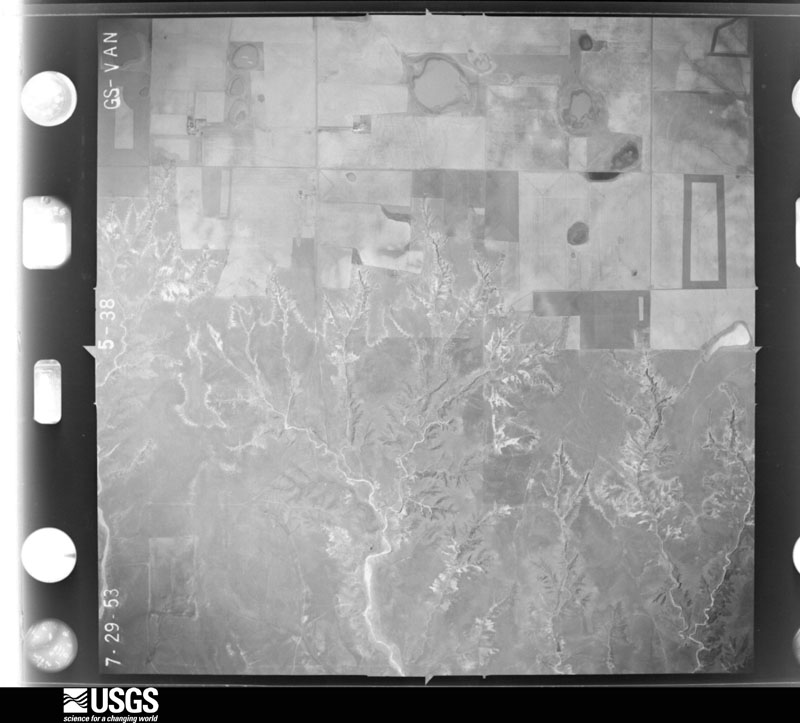
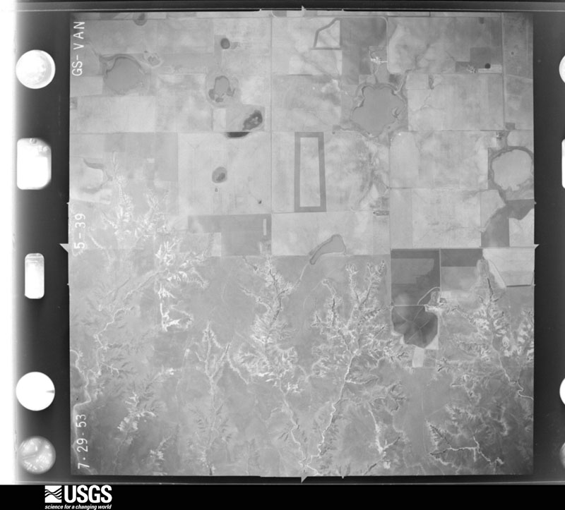
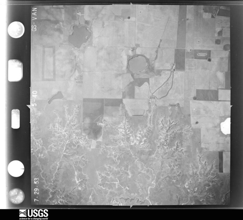
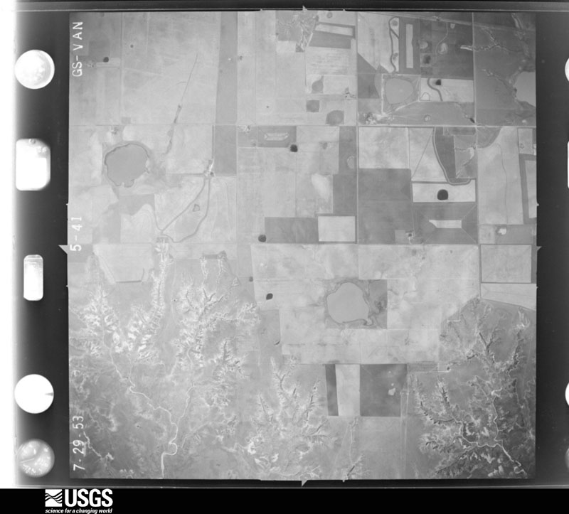
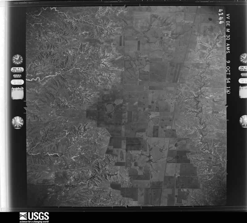
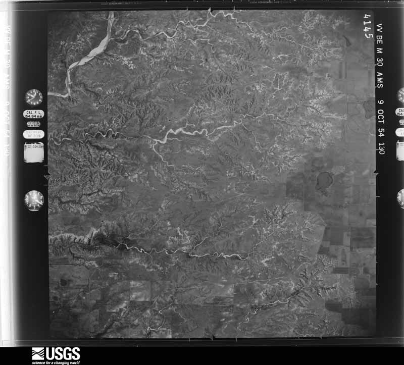
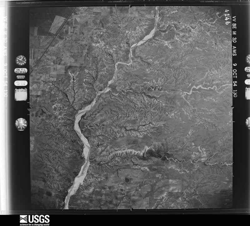
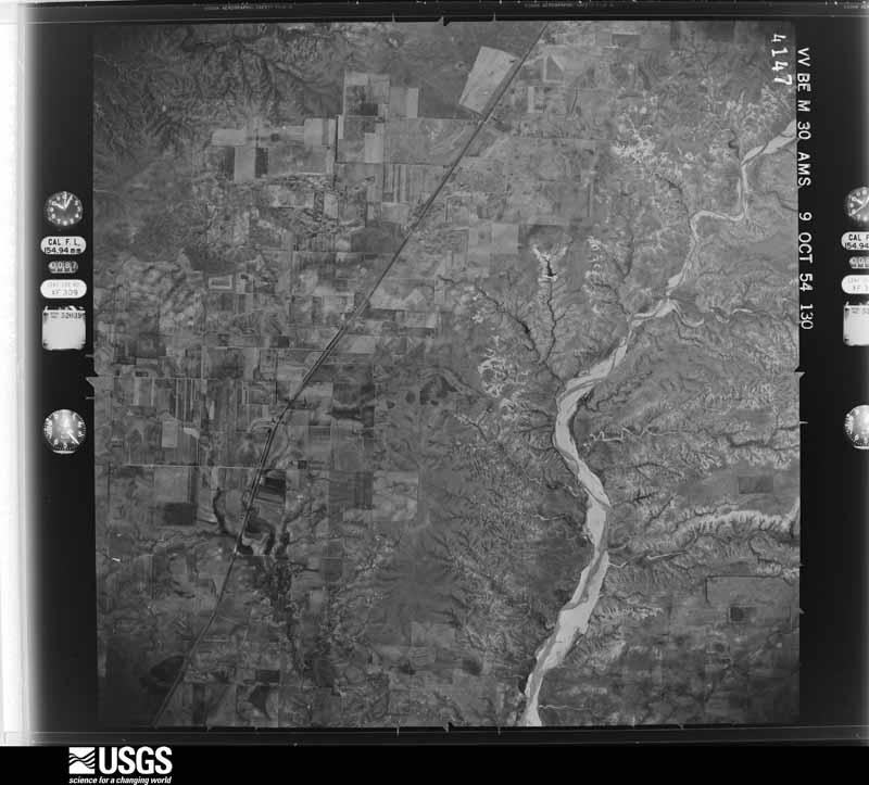
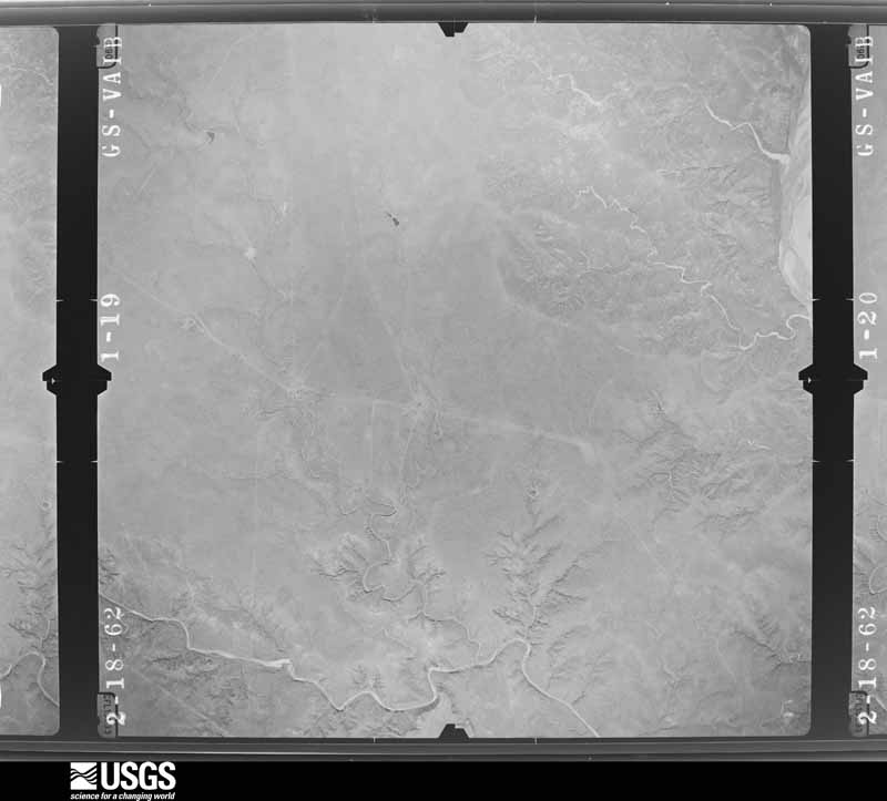
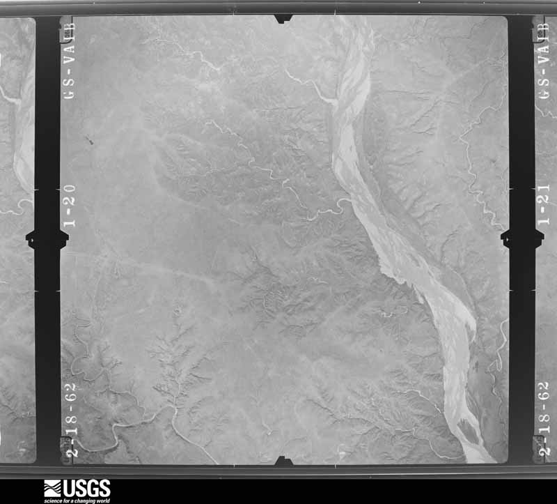
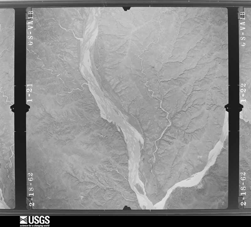
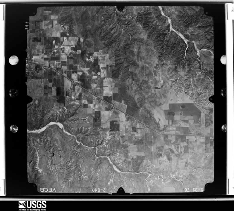
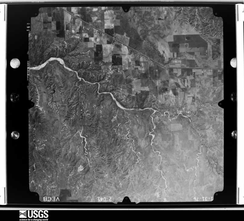
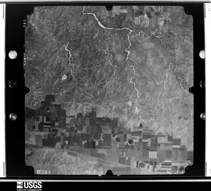
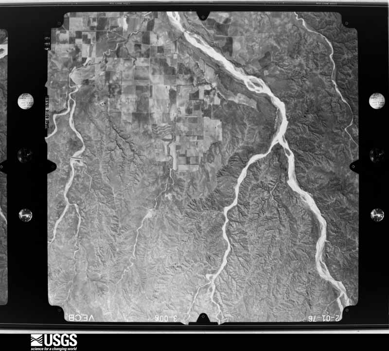
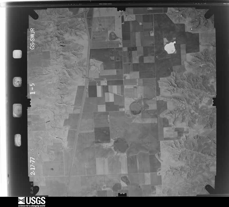
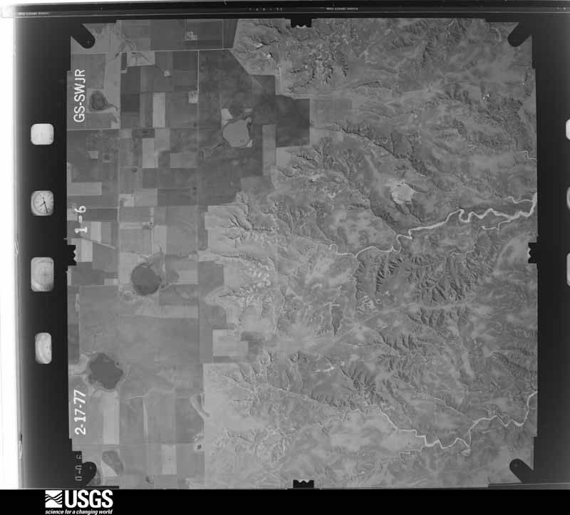
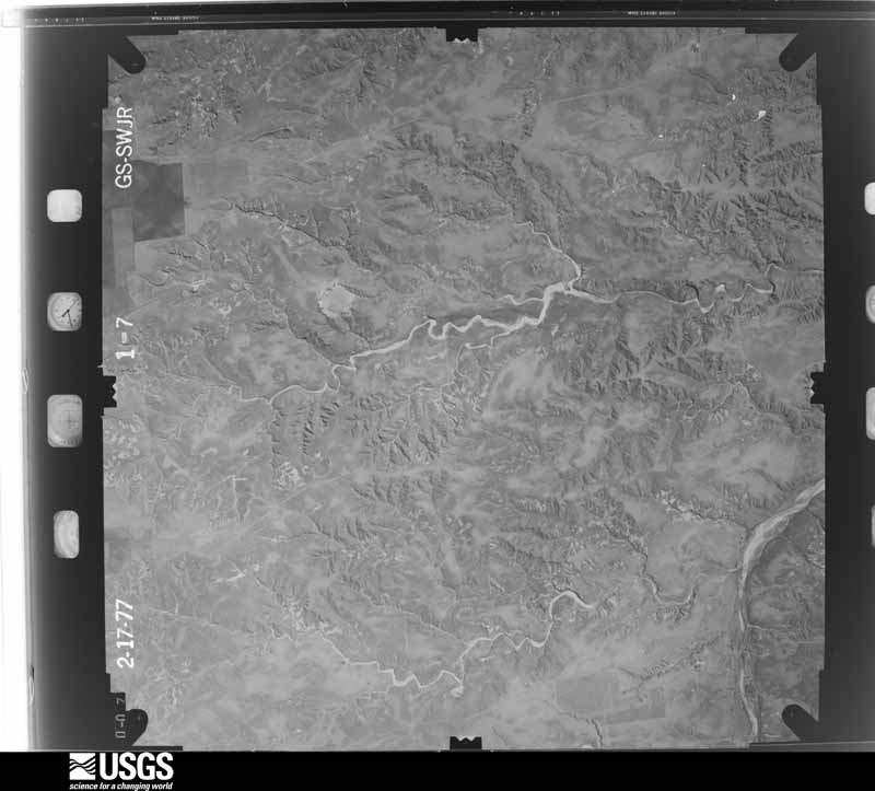
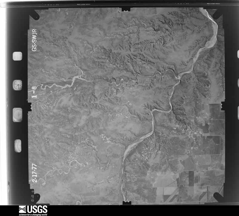
Flown by the U.S. Geological Survey between 1937 and 1989, the Aerial Photo Single Frames collection is the definitive mid-century view of the land: fields, roads and rivers as the camera saw them. The Survey holds 572 frames inside the rectangle that bounds this county; the 20 frames below were taken over the county itself, chosen across the decades of flights (at most four a year from that rectangle), so one flight cannot crowd out the rest. The full set is free to browse and download at EarthExplorer under the dataset Aerial Photo Single Frames.

The thermometers that kept this county's weather, and the gages that measured the flow of its streams, as the federal records hold them. The extremes below are measured values from those records, not estimates.
Who lived here in 1950, one enumeration district at a time, as the Census Bureau described each district. Each row opens its official National Archives result, with Population Schedules and ED Maps available there.
Every wildfire the federal occurrence database records inside this county: 468 of them, burning about 52,482 acres. 89 started naturally and 9 were recorded as arson. Each settlement page carries the fires within five miles of it.
| Reported cause | Fires |
|---|---|
| Equipment and vehicle use | 139 |
| Missing data/not specified/undetermined | 106 |
| Natural | 89 |
| Debris and open burning | 64 |
| Power generation/transmission/distribution | 36 |
| Arson/incendiarism | 9 |
| Railroad operations and maintenance | 8 |
| Smoking | 8 |
| Misuse of fire by a minor | 5 |
| Recreation and ceremony | 4 |
The five largest, by the area the report gives. None of them was recorded as arson.
| Date | Cause | Size | Reported by | Name on the report |
|---|---|---|---|---|
| 1 January 2006 | Missing data/not specified/undetermined | 23,000 acres | Texas A & M Forest Service | WEST ZONE WEST - 3 |
| 6 April 2006 | Missing data/not specified/undetermined | 5,000 acres | Texas A & M Forest Service | HARDIN FIRE |
| 3 May 2018 | Equipment and vehicle use | 2,262 acres | Texas A & M Forest Service | SIMMONS RANCH |
| 12 March 2006 | Missing data/not specified/undetermined | 1,800 acres | Texas A & M Forest Service | CROW HOLLOW FIRE |
| 15 April 2006 | Missing data/not specified/undetermined | 1,500 acres | Texas A & M Forest Service | not named |
| 11 March 2015 | Debris and open burning | 1,280 acres | Texas A & M Forest Service | DONLEY CO. CONTROL BURN |
| 9 March 2017 | Debris and open burning | 1,267 acres | Texas A & M Forest Service | JA RANCH |
| 16 April 2006 | Missing data/not specified/undetermined | 1,200 acres | Texas A & M Forest Service | HIGHWAY 70 FIRE |
Every settlement page carries the fires within five miles of it - see the settlement index below.
The NOAA Storm Events Database holds 607 reports for this county, causing 16 deaths, 46 injuries and about $9,644,590 in recorded property damage. Each settlement page carries the reports that name it.
| Kind of event | Reports |
|---|---|
| Hail | 407 |
| Thunderstorm Wind | 102 |
| Tornado | 64 |
| Flash Flood | 21 |
| Heavy Rain | 5 |
| Flood | 5 |
| Funnel Cloud | 3 |
The most serious of them, by death, then injury, then recorded damage. The accounts are quoted exactly as the forecast office filed them.
| When | Event | Place named | Harm | What the report says |
|---|---|---|---|---|
| April 1970 | Tornado (F4) | not stated | 16 killed, 42 hurt, $2,500,000 | no account filed |
| March 2007 | Tornado (EF3) | Jericho | 2 hurt, $180,000 | The tornado formed in the northwest part of Donley county at 1839 CST three miles south southwest of Jericho and tracked north northwest for about three miles before exiting Donley county one and a half miles west northwest of Jericho at 1848 CST.The tornado continued in Gray county for about another three miles before dissipating at 1854 CST.|Damage was first noted two miles south of Interstate 40 along County Road 9 in northwest Donley County. The roof of a horse barn was completely destroyed...as was the rear room addition. Beside the barn...welded steel fencing was bent or mildly twisted. A refrigerated boxcar that had contained tools and horse feed was rolled northward eleven times and found on its side almost one hundred yards north of its original location. A feeding trough originally near the boxcar was carried one hundred yards northwest of its previous location. Three hundred yards away...the mobile home of the property owner suffered only minor damage.|One mile north northwest of this location...a large home apparently lost a substantial portion of its roof. An irrigation pivot was overturned in a field just northwest of the home.|The most significant damage from this tornado occurred to three semi trucks that were caught and badly damaged in the tornado on Interstate 40 on the Donley county and Gray county line. In this area...power poles were snapped near their bases. The cab of one of the semi trucks was reportedly lifted and deposited atop its trailer. The driver and his wife were sucked out of the cab. The driver was completely disrobed some distance away from the truck. His clothing was found tangled in the engine of the truck. The driver and his wife were reported to be in critical and serious condition...respectively. Additionally the cab was crushed to the steering column. The trailer roof appeared to have been pried up and twisted...and at least one of the side walls failed. The contents of the truck were scattered downstream into a field for nearly a mile. In this field...irrigation pivots were overturned. The property owner also reported that irrigation pivot tires weighing three hundred pounds were relocated and a fifteen hundred gallon fertilizer tank that was one quarter full was gone. |
| May 1957 | Tornado (F3) | not stated | 1 hurt, $250,000 | no account filed |
| March 1983 | Tornado (F2) | not stated | 1 hurt, $25,000 | no account filed |
| June 1989 | Tornado (F0) | not stated | $2,500,000 | no account filed |
| June 1989 | Tornado (F0) | not stated | $2,500,000 | no account filed |
| March 2021 | Tornado (EF2) | Clarendon | $250,000 | A tornado touched down on the southwest side of Clarendon, continuing through Greenbelt Reservoir before dissipating northeast of Howardwick. Minor damage to homes and Clarendon College was observed on the west side of Clarendon. The tornado took on a wider path and strengthened as it progressed toward Greenbelt Reservoir causing considerable damage to mobile homes, recreational vehicles, and boating facilities. In addition, several power poles of varying sizes were downed and many trees were snapped in the area. |
| May 2001 | Flash Flood | Clarendon | $250,000 | Flash flooding was first reported by a National Weather Service Cooperative Observer in Clarendon with U.S. Highway 287 closed. Water was reported three feet deep on U.S. Highway 287 in Clarendon and water was covering the road on State Highway 70 with both highways being shut down. Vehicles were reported to have been washed away and people had to be rescued. The Texas Department of Public Safety lost three patrol cars in the flood. By late evening...there was one foot of water covering U.S. Highway 287 and everyone had been rescued. By the early morning hours...eight Government apartments had four inches of water in them and four feet of water was found around a house with six inches of water inside. Major damage was done to the house. A peanut field was destroyed just north of Clarendon as the water stripped the top soil away along with the peanut seeds. There was extensive county road damage across Donley county. |
| March 2007 | Tornado (EF2) | Jericho | $170,000 | This tornado developed in northern Donley County near where Farm to Market Road 291 ends and then traveled northeast to near the Donley County and Gray County line and dissipated at 1924 CST about eleven miles east of Jericho. The tornado developed over ranch land initially causing sporadic damage to trees and fences. The first continuous track of damage encountered was to a newly constructed home...which sustained total roof loss as the roof was lifted...destroyed...and scattered over a mile northward. The house walls were constructed of reinforced concrete and were left intact...suffering only windblown hail damage to their stucco exterior. A few power poles were also snapped in the vicinity of the home. On a ranch to the north of the home...significant damage to hardwood trees was encountered ranging from snapped large branches to snapped trunks. Power poles were also snapped on the property and fencing was destroyed in several locations. The worst damage on this ranch was sustained in an area of dense tree coverage...where treetops were sheared off...intact trees were defoliated and large trunks were snapped. Two hundred yards of barbed wire fencing had been rolled into a ball. No injuries were reported. |
| April 2003 | Tornado (F1) | Clarendon | $150,000 | Roof partially blown off a house...two second story rooms and the front porch of a vacant house were ripped apart...a doublewide trailer house had damage to the roof and windows...two unattached garages destroyed...trees uprooted...other roofs and barns were reported damaged. |
| April 1997 | Hail | Jericho | $75,000 | Flooding also. 100 head of cattle killed. |
| August 2001 | Thunderstorm Wind | Jericho | $70,000 | High winds blew over a cattle truck. |
| March 2007 | Tornado (EF2) | Hedley | $63,000 | The initial phase of this tornado was fairly weak with minor damage occurring to a tin roof...fences and small tree limbs. The tornado became progressively stronger...resulting in the total removal of deer blinds and considerable loss of metal roofing to a home and the detached garage. The worst damage occurred near the end of the tornado. Numerous large tree limbs were downed and several tree trunks were snapped at the base. A large barn was completely swept away...with portions of the structure found up to five hundred yards away. Several power poles were snapped and carried over twenty yards. A large hitch trailer was carried away from beside the barn and deposited in a nearby tree. A van was also displaced into a grove of trees near ground level. No injuries were reported. |
| August 2025 | Thunderstorm Wind | Howardwick | $50,000 | A collapsing thunderstorm brought damaging winds to locations northeast of Howardwick. Irrigation pivots were blown over and a barn was damaged. Tree branches were also snapped and torn off of trees. |
| May 2024 | Tornado (EF1) | Ashtola | $50,000 | This tornado touched down after the initial parent tornado occluded. Based on spotter/chaser video, it appears to have developed in about the same locations as the first Clarendon tornado. It became wide, likely going over the same locations as the previous tornado. It then started to follow the rim of the mesocyclone, likely being more of a satellite tornado around the main mesocyclone. The tornado was recorded as being on the ground for about 15 minutes before finally lifting. It likely did not move very fast before finally becoming corkscrew in nature before lifting. Damage seems to be limited to mesquite brush damage. However, the worst known damage was to a water pumping windmill which was toppled and destroyed by the tornado. The maximum estimated winds were 90mph. |
| September 2013 | Thunderstorm Wind | Clarendon | $50,000 | A broken line of thunderstorms moved across the southern Texas Panhandle during the evening hours of the 27th. As this line moved over the city of Clarendon (Donley County), a member of the public reported that 3 power poles had been blown down along State Highway 70 by a downburst. There was also heavy damage to two large storage units, and two center pivot irrigation systems were turned. This line continued to move eastward across the southern Texas Panhandle after producing this damage. |
| April 2012 | Hail | Hedley | $50,000 | A trained spotter reported that the baseball size hail fell for five minutes. The hail smashed multiple vehicle windshields and windows, however no injuries or fatalities were reported. |
| September 2005 | Hail | Hedley | $50,000 | no account filed |
| August 2001 | Thunderstorm Wind | Clarendon | $40,000 | High winds at Clarendon High School knocked over the top two-thirds of one of the light poles at Bronco Stadium. The steel pole snapped electric lines and disrupted power in the city for half an hour. The pole fell on top of the south wall of the stadium but did not damage the historic rock wall. |
| March 2007 | Thunderstorm Wind | Clarendon | $34,000 | Tractor trailer truck was reported overturned by the high winds. No injuries were reported. |
| May 2024 | Hail | Clarendon | $30,000 | A swath of large hail occurred across Clarendon, resulting from a supercell that formed just to the west of the city. Hail ranged from 1.5 inches up to 4 inches. The 4 inch hailstone occurred 4 miles west northwest of Clarendon just south of Highway 287. |
| March 2021 | Tornado (EF0) | Clarendon | $30,000 | A brief tornado occurred on the western side of the city of Clarendon. This tornado was rain wrapped, but was observed by several chasers in the area. The tornado produced damage consistent with 80 to 85 mph winds, damaging several homes, trees, and sheds. Approximately 10 homes suffered shingle damage to roofs, while multiple trees were downed. Near the narrow path of this tornado, straight line winds caused damage to a scoreboard at a nearby baseball field. |
| March 2007 | Thunderstorm Wind | Jericho | $25,000 | Straight line wind damage reported to a horse trailer and other structures. No injuries were reported. |
| May 1978 | Tornado (F0) | not stated | $25,000 | no account filed |
| September 2007 | Thunderstorm Wind | Hedley | $23,000 | The local broadcast media reported from a Department of Public Safety Trooper that a couple of tractor trailers were overturned on U.S. Highway 287...however no injuries were reported. The trailers were reported to be empty and also several branches which were at least four to eight inches in diameter were snapped by the high winds. |
| March 2026 | Hail | Hedley | $20,000 | Hail fell southwest of Hedley for about an hour and a half. Hail ranged from dime to quarter size, although damage occurred to skylights which would suggest that some larger hailstones also fell. |
| May 2024 | Tornado (EF0) | Clarendon | $20,000 | This tornado touched down briefly in ranch land to the west southwest of Clarendon. The damage appeared to be mostly from damaged mesquite brush and perhaps some fencing material. Survey information was obtained from local officials as access was hard due to private land and terrain. The tornado was also documented on chaser/spotter footage and appeared to not be on the ground but for a couple of minutes before lifting. The maximum estimated winds were 80mph. |
| September 2023 | Thunderstorm Wind | Clarendon | $20,000 | A well-built carport, along with the vehicles in it had wind damage. Also, part of the roof on the home was damaged as well. |
| March 2021 | Flood | Clarendon | $20,000 | no account filed |
| August 1996 | Thunderstorm Wind | Hedley | $20,000 | no account filed |
| May 2024 | Hail | Lelia Lake | $10,000 | Hail up to hen egg size fell between Leila Lake and Hedley. |
| September 2023 | Thunderstorm Wind | Lelia Lake | $10,000 | A porch was damaged by the thunderstorm wind, along with debris from the damaged porch blown over 200 yards. |
| May 2013 | Hail | Ashtola | $10,000 | A thunderstorm developed over southern Donley County and slowly drifted to the south while intensifying. A storm chaser intercepted this thunderstorm as it crossed US Highway 287 5 miles west-southwest of Greenbelt Lake (Donley County). By that point the thunderstorm was producing copious amounts of hail up to golf ball size. Three to four inches of hail accumulation was estimated by the storm chaser on the highway. This created slick spots on US Highway 287 which caused a few motorist to lose control and swerve into the ditch. No injuries were reported with these accidents. |
| May 2006 | Hail | Hedley | $10,000 | no account filed |
| March 2007 | Thunderstorm Wind | Howardwick | $9,000 | Part of the roof of a mobile home was blown off. No injuries were reported. |
| May 2002 | Thunderstorm Wind | Hedley | $9,000 | Numerous trees and powerlines were reported blown down. |
| March 2026 | Flash Flood | Hedley | $7,000 | Significant flooding occurred on Indian Creek, which was over 100 yards wide and likely 12 feet deep during the peak of the flooding. The flooding washed out ranch fencing in the area. |
| March 2026 | Thunderstorm Wind | Hedley | $6,000 | A tree broke on Blair Street and the roof was partially blown off a trailer house on Adamson Street. |
| February 2007 | Thunderstorm Wind | Clarendon | $6,000 | Power lines reported blown down along U.S. Highway 287 southeast of Giles Texas in Donley County. No injuries were reported. |
| June 2005 | Tornado (F0) | Clarendon | $6,000 | Rope tornado verified by broadcast media video. Several power lines were knocked down...but otherwise no other damage and no injuries. The tornado occurred over open country and the path length and path width were estimated. |
| March 2007 | Tornado (EF1) | Clarendon | $5,000 | This tornado crossed Highway 287, damaging a home along the south side of the highway. |
| June 1994 | Hail | Hedley | $5,000 | no account filed |
| May 2025 | Hail | Howardwick | $3,000 | Quarter to golfball size hail fell on the north side of Howardwick. |
| March 2000 | Thunderstorm Wind | Hedley | $3,000 | A roof was blown off of a barn. |
| June 1960 | Tornado (F2) | not stated | $2,500 | no account filed |
| March 2021 | Flood | Howardwick | $1,000 | Significant street flooding occurred due to heavy rainfall with severe thunderstorms in the area. |
| May 2020 | Thunderstorm Wind | Hedley | $1,000 | A telephone pole was blown down along US Highway 287 southeast of Lelia Lake near County Road 20. |
| August 2012 | Thunderstorm Wind | Hedley | $1,000 | The Texas Department of Public Safety reported a large tree down across Farm to Market Road 1932 west of the town of Hedley, Texas near the fork. There were no reports of injuries or fatalities. |
| March 1983 | Tornado (F2) | not stated | $30 | no account filed |
| May 1977 | Tornado (F1) | not stated | $30 | no account filed |
| June 1955 | Tornado (F2) | not stated | $30 | no account filed |
| March 2026 | Hail | Hedley | - | Nickel to quarter size hail fell and accumulated. Hail fell for at least 15 minutes. |
| April 2025 | Hail | Clarendon | - | One inch hail fell across Clarendon, from about 4 miles west of town along Highway 287 to the east southeast of town. |
| April 2025 | Flood | Clarendon | - | Many dry creeks had fast flowing water in them along Texas Highway 70 between Brice and Clarendon. |
| March 2024 | Thunderstorm Wind | Clarendon | - | The mesonet station located two miles west of Clarendon measured a 67mph wind gust. |
| September 2023 | Thunderstorm Wind | Lelia Lake | - | Multiple trees were uprooted along HWY 287 by the wind. |
| June 2022 | Thunderstorm Wind | Howardwick | - | Tree limbs up to 3 in diameter blown down. |
| July 2021 | Thunderstorm Wind | Howardwick | - | A few trees were blown down near the Howardwick entrance off of Highway 70. One mile north of the entrance on Highway 70 there was also a carport roof that was also blown off. |
| July 2021 | Hail | Howardwick | - | Reported that hail was making a lot of noises banging on everything. Person estimates the largest hail stones to be at least the size of quarters. Hail had lasted for about 2 minutes. |
| July 2021 | Hail | Howardwick | - | Law Enforcement reported golf ball size upwards of 2 inch diameter hail, with damage to windshield of vehicle. |
Named settlements recorded in the Geographic Names Information System, each with the topographic sheets covering it. Villages, hamlets and abandoned places alike. Each is shown with the nearest named watercourse or landform and the survey quadrangle it falls on.
Clarendon census division · 79226 · On Carrol Creek · Roach Ranch quadrangle
7 sheets, 1954 to 1983
Hedley census division · 79240 · On East Lelia Lake Creek · Lelia Lake quadrangle
8 sheets, 1954 to 1986