 Block
BlockAshtola, Texas
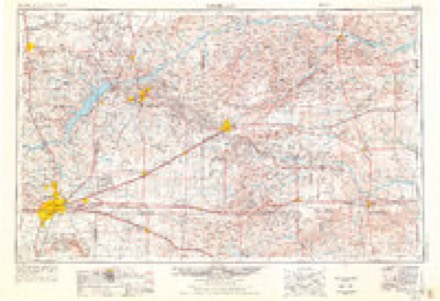
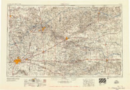
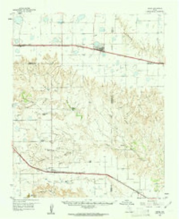
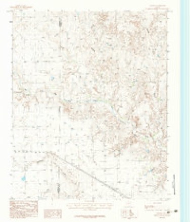
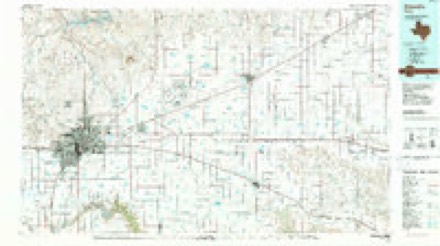
7 topographic sheets cover this place, the earliest surveyed in 1954 and the latest in 1986. It stands in the Clarendon census division. It lies in ZIP code area 79226. The Survey maps it on the Ashtola quadrangle.
Topographic sheets covering this place
5 surveys from 7 printed sheetsMatched by testing this settlement's coordinate against the published boundary of every sheet in the United States Geological Survey's historical collection. Each opens the scanned sheet at the Survey.
- 1954 USGS Amarillo quadrangle1:250000, 2 printings
- 1958 USGS Amarillo quadrangle1:250000
- 1960 USGS Groom quadrangle1:62500
- 1983 USGS Ashtola quadrangle1:24000
- 1986 USGS Amarillo quadrangle1:100000, 2 printings
Fires near this place
46 since 2006Regional context, not property-specific evidence. The federal wildfire occurrence database lists 46 fires within 5 miles of Ashtola between 2006 and 2019, burning about 3,331 acres in total. 6 started naturally. None was recorded as arson. Distance is straight-line from the map coordinates, so a fire counted here may appear on a neighbouring settlement's page as well.
| Reported cause | Fires |
|---|---|
| Equipment and vehicle use | 20 |
| Debris and open burning | 11 |
| Missing data/not specified/undetermined | 8 |
| Natural | 6 |
| Power generation/transmission/distribution | 1 |
The most recent of them, most recent first, with the day each was reported and the service that recorded it.
| Date | Cause | Size | Reported by | Name on the report |
|---|---|---|---|---|
| 8 September 2007 | Missing data/not specified/undetermined | 1.0 acres | Texas A & M Forest Service | not named |
| 27 September 2015 | Equipment and vehicle use | 5.0 acres | Texas A & M Forest Service | DONLEY ARMSTRONG COUNTY LINE |
| 4 August 2011 | Natural | 15 acres | Texas A & M Forest Service | SALT FORK RANCH FIRE |
| 29 August 2015 | Equipment and vehicle use | 5.0 acres | Texas A & M Forest Service | AMSTRONG COUNTY - ASSIST CLAUDE FD |
| 21 August 2015 | Equipment and vehicle use | 1.0 acres | Texas A & M Forest Service | US 287 MM 166 |
| 16 August 2016 | Debris and open burning | 60 acres | Texas A & M Forest Service | PAUL BELL CR 7 |
| 16 August 2015 | Debris and open burning | 1.0 acres | Texas A & M Forest Service | CR LL & CR 3 |
| 10 August 2012 | Equipment and vehicle use | 1.0 acres | Texas A & M Forest Service | US 287 & CR1 - EAST BOUND |
Settlements close enough to share some of these fires:
Storms near this place
28 since 1995Regional context, not property-specific evidence. The National Weather Service names Ashtola in 28 storm reports between 1995 and 2025: 25 hail, 2 tornado, 1 thunderstorm wind. No death or injury is recorded in these reports. Each account below is quoted exactly as the forecast office filed it, from the NOAA Storm Events Database, and each date opens the federal record of that event.
| When | Event | Place named | Harm | What the report says |
|---|---|---|---|---|
| May 2024 | Tornado (EF1) | Ashtola | $50,000 | This tornado touched down after the initial parent tornado occluded. Based on spotter/chaser video, it appears to have developed in about the same locations as the first Clarendon tornado. It became wide, likely going over the same locations as the previous tornado. It then started to follow the rim of the mesocyclone, likely being more of a satellite tornado around the main mesocyclone. The tornado was recorded as being on the ground for about 15 minutes before finally lifting. It likely did not move very fast before finally becoming corkscrew in nature before lifting. Damage seems to be limited to mesquite brush damage. However, the worst known damage was to a water pumping windmill which was toppled and destroyed by the tornado. The maximum estimated winds were 90mph. |
| May 2013 | Hail | Ashtola | $10,000 | A thunderstorm developed over southern Donley County and slowly drifted to the south while intensifying. A storm chaser intercepted this thunderstorm as it crossed US Highway 287 5 miles west-southwest of Greenbelt Lake (Donley County). By that point the thunderstorm was producing copious amounts of hail up to golf ball size. Three to four inches of hail accumulation was estimated by the storm chaser on the highway. This created slick spots on US Highway 287 which caused a few motorist to lose control and swerve into the ditch. No injuries were reported with these accidents. |
| May 2017 | Hail | Ashtola | - | Late report of hail ranging from golf ball to slightly larger than baseballs in size. |
| May 2016 | Hail | Ashtola | - | Hail larger than golf balls was reported 7 miles west of Greenbelt Lake at Highway 287 and County Road 3. |
| May 2016 | Hail | Ashtola | - | Golf ball size hail was reported 7 miles west of Clarendon. |
| August 2014 | Hail | Ashtola | - | A cluster of thunderstorms developed over Donley County during the afternoon hours of the 28th. As these storms moved west of the town of Clarendon (Donley County), a law enforcement officer reported golf ball size hail (1.75 inches) nine miles northwest of Clarendon (Donley County). After producing this hail, the storms continued to move to the northeast across the county. |
| May 2003 | Tornado (F0) | Ashtola | - | No damage or injuries were reported. |
| August 2001 | Hail | Ashtola | - | The hail damaged three hundred to four hundred acres of crops near the Armstrong county line. Cotton was the hardest crop hit...however some hay and watermelons were also damaged. |
| May 1995 | Hail | Ashtola | - | Thunderstorms moved across the southern half of the Texas panhandle producing hail up to golf ball-size. Two brief tornadoes occurred over open pasture land causing no damage. Strong outflow winds did damage some pivot sprinklers, a grain elevator, some outbuildings, and snapped a couple of power poles west of Lazbuddie. In Hart the winds damaged a couple of buildings. The golf ball-size hail east of Happy occurred on the Randall/Swisher County line. |
| April 2025 | Hail | Ashtola | - | no account filed |
| June 2024 | Hail | Ashtola | - | no account filed |
| May 2022 | Hail | Ashtola | - | no account filed |
| April 2012 | Hail | Ashtola | - | no account filed |
| April 2012 | Hail | Ashtola | - | no account filed |
| June 2010 | Hail | Ashtola | - | no account filed |
| August 2009 | Hail | Ashtola | - | no account filed |
| June 2009 | Hail | Ashtola | - | no account filed |
| March 2007 | Hail | Ashtola | - | no account filed |
| May 2007 | Hail | Ashtola | - | no account filed |
| June 2006 | Thunderstorm Wind | Ashtola | - | no account filed |
| June 2006 | Hail | Ashtola | - | no account filed |
| July 2004 | Hail | Ashtola | - | no account filed |
| June 2000 | Hail | Ashtola | - | no account filed |
| June 2000 | Hail | Ashtola | - | no account filed |
| June 1999 | Hail | Ashtola | - | no account filed |
| May 1997 | Hail | Ashtola | - | no account filed |
| May 1996 | Hail | Ashtola | - | no account filed |
| June 1996 | Hail | Ashtola | - | no account filed |
Nearest settlements
The eight closest, with where each one stands in the county. Distances are straight-line, computed from the Geographic Names Information System coordinates.
| Map | Place | Distance | Sheets |
|---|---|---|---|
| Howardwick | 7.5 miles | 7 | |
| Clarendon | 9.5 miles | 8 | |
| Jericho | 13.6 miles | 6 | |
| Lelia Lake | 16.2 miles | 8 | |
| Rockledge | 16.6 miles | 6 | |
| Hedley | 22.5 miles | 8 | |
| McKnight | 26.7 miles | 8 | |
| Giles | 27.5 miles | 8 |
Provenance
This settlement is recorded in the Geographic Names Information System as feature 1351311. The sheet list is computed by point-in-boundary test against the United States Geological Survey's historical topographic inventory. Both are works of the United States government and carry no copyright under 17 U.S.C. 105.
Wildfire. Short, Karen C. 2022. Spatial wildfire occurrence data for the United States, 1992-2020 [FPA_FOD_20221014]. 6th Edition. Fort Collins, CO: Forest Service Research Data Archive. https://doi.org/10.2737/RDS-2013-0009.6 Collected with United States Government funding and usable without additional permissions or fees.
Storms. NOAA National Centers for Environmental Information, Storm Events Database https://www.ncei.noaa.gov/stormevents/ A work of the United States government, no copyright under 17 U.S.C. 105. Narratives are quoted verbatim from the National Weather Service report and are not edited or summarised.