 Block
BlockFrom the record
1 National Register listing published here.
Sources: the National Register database, National Park Service
36 topographic sheets cover 15 settlements here, and 1 property is on the National Register of Historic Places.
1 National Register listing published here.
Sources: the National Register database, National Park Service
Every property in this county listed on the National Register of Historic Places, with the year it was listed and the federal nomination document.
| Photograph | Property | Type | Listed | Reference |
|---|---|---|---|---|
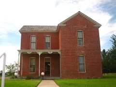 | White-Pool House | building | 1980 | 80004099 |
Selected from the Digital Public Library of America's 10 image records catalogued for this county. Every one shown here carries a public-domain status or a licence that permits reuse on a site that carries advertising; non-commercial, share-alike and restricted images are excluded. The selection is spread across the county's towns (at most eight per town), so no single institution's bulk upload crowds out the rest. Each opens the holding library's record, and the complete set at the Digital Public Library of America is one click away.








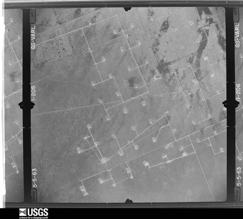
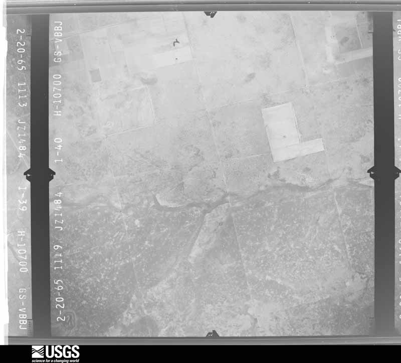
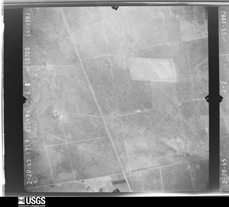
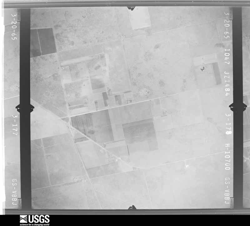
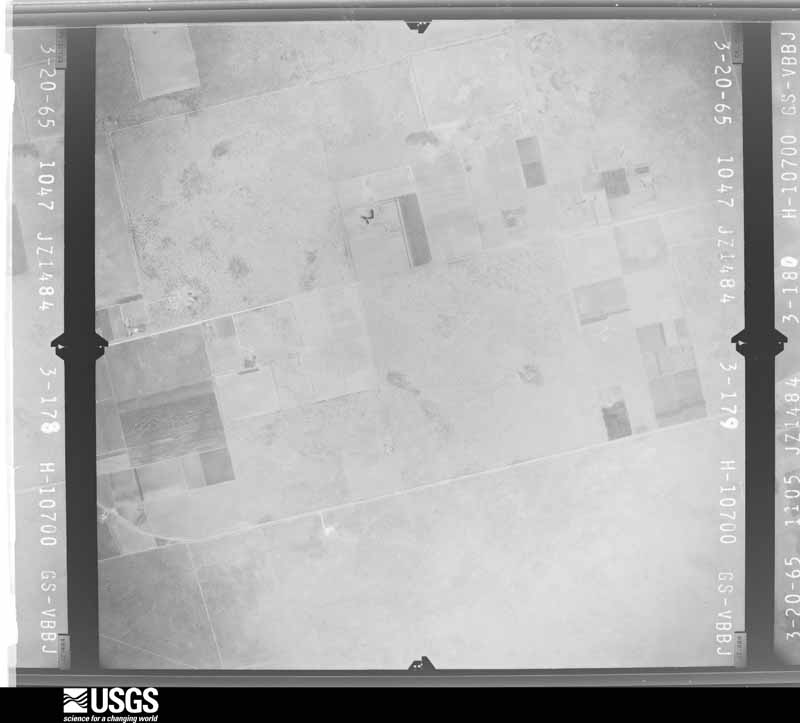
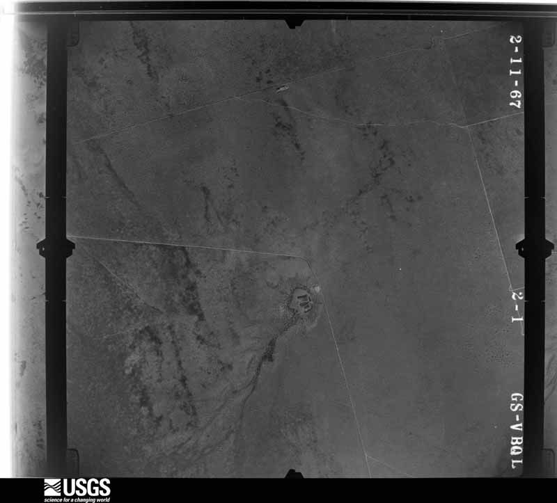
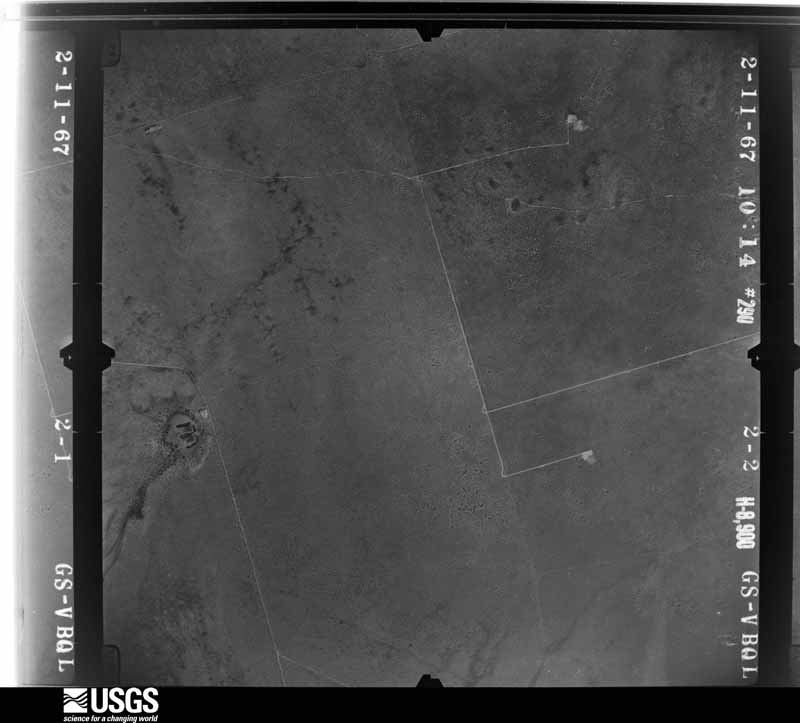
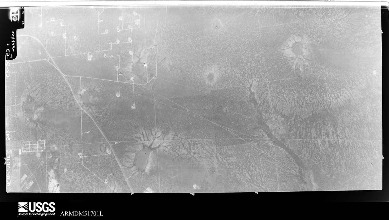
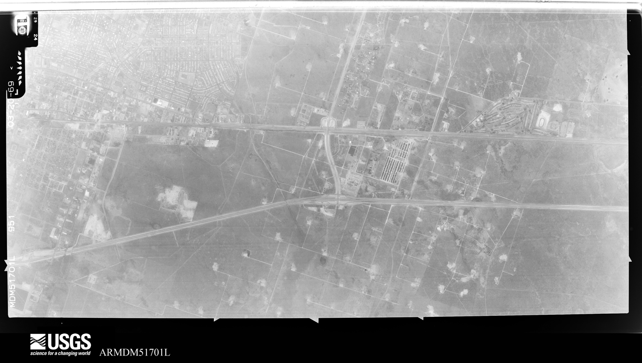
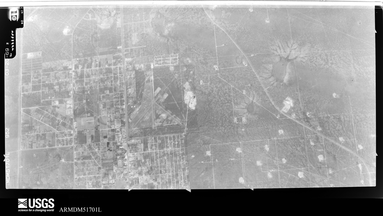
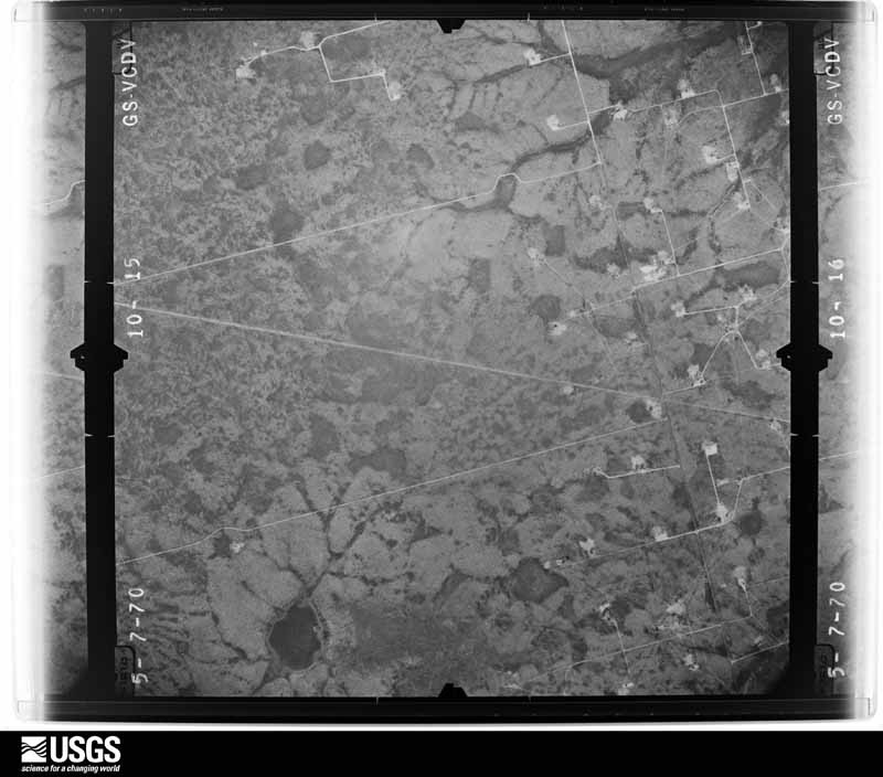
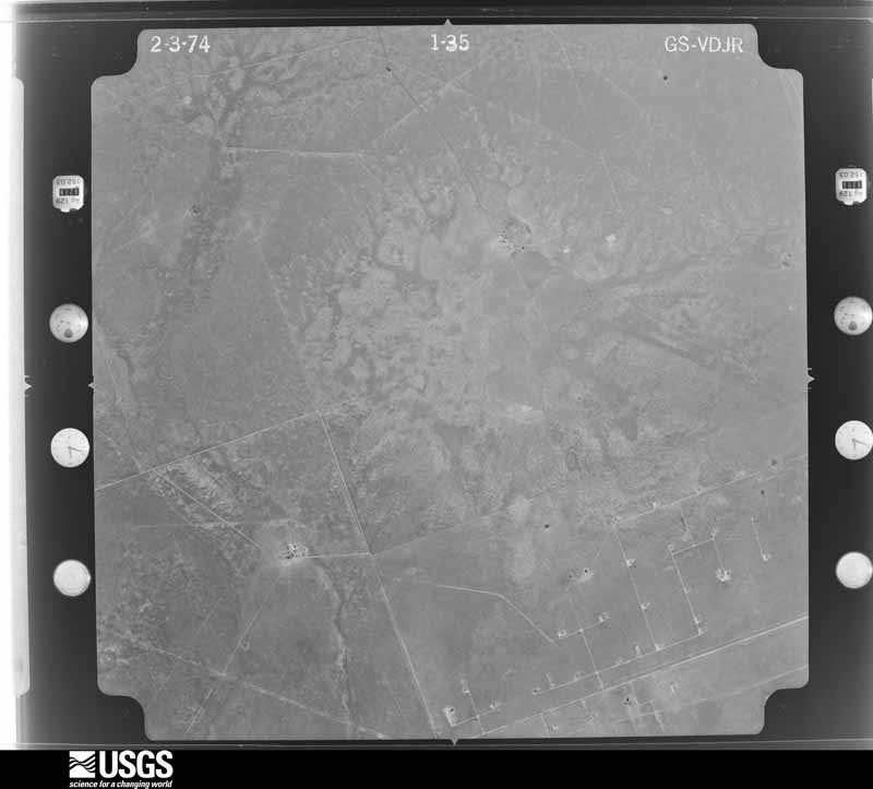
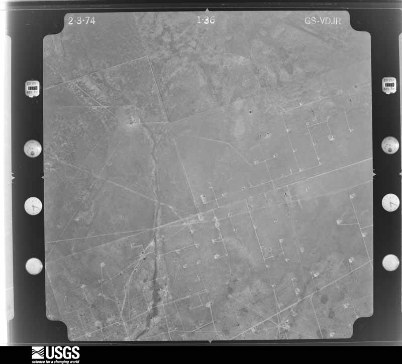
Flown by the U.S. Geological Survey between 1937 and 1989, the Aerial Photo Single Frames collection is the definitive mid-century view of the land: fields, roads and rivers as the camera saw them. The Survey holds 1,526 frames inside the rectangle that bounds this county; the 44 frames below were taken over the county itself, chosen across the decades of flights (at most four a year from that rectangle), so one flight cannot crowd out the rest. The full set is free to browse and download at EarthExplorer under the dataset Aerial Photo Single Frames.




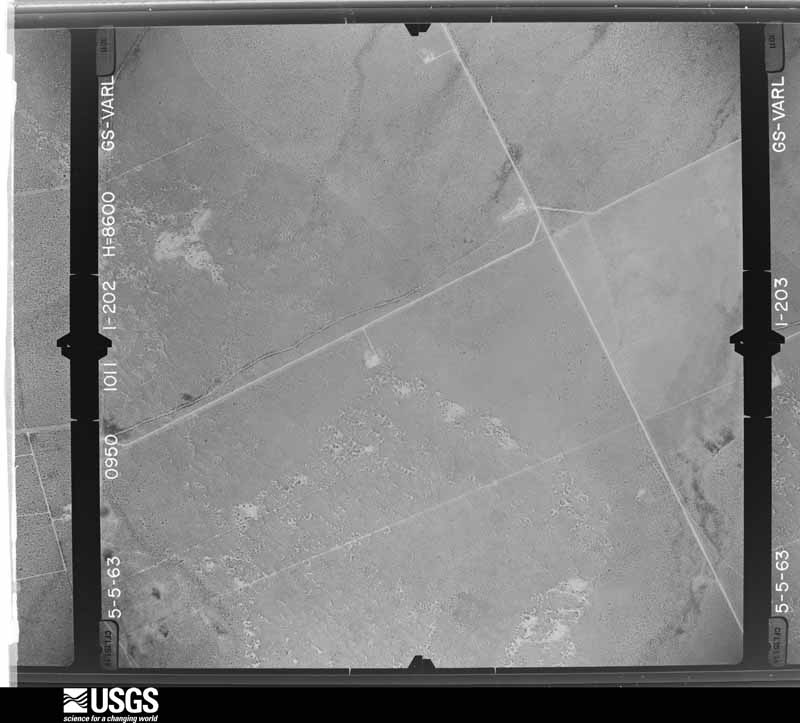
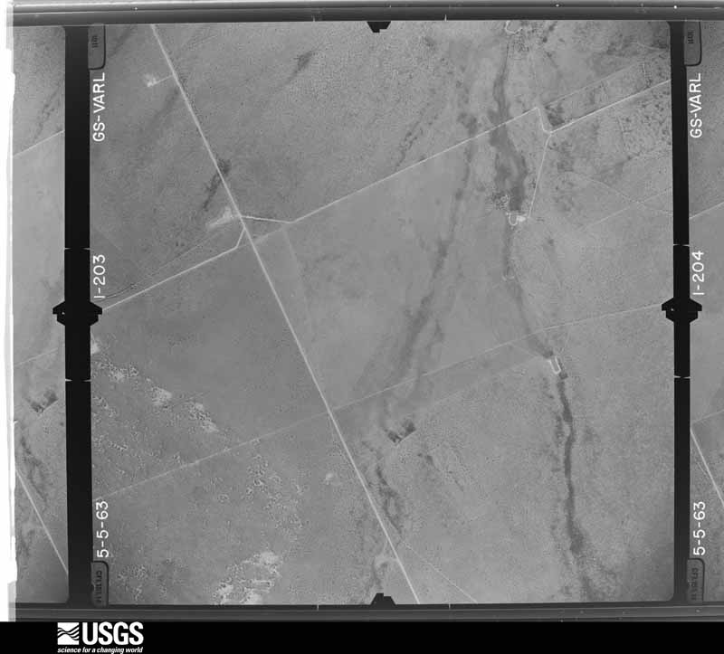
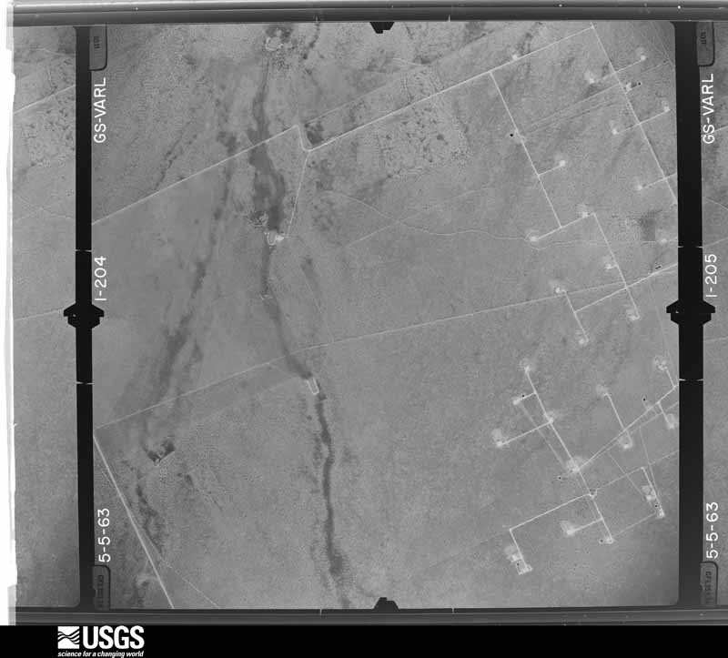
























The thermometers that kept this county's weather, as the federal records hold them. The extremes below are measured values from those records, not estimates.
Who lived here in 1950, one enumeration district at a time, as the Census Bureau described each district. Each row opens its official National Archives result, with Population Schedules and ED Maps available there.
Every wildfire the federal occurrence database records inside this county: 111 of them, burning about 20,387 acres. 5 started naturally and none was recorded as arson. Each settlement page carries the fires within five miles of it.
| Reported cause | Fires |
|---|---|
| Missing data/not specified/undetermined | 84 |
| Equipment and vehicle use | 14 |
| Natural | 5 |
| Power generation/transmission/distribution | 3 |
| Debris and open burning | 3 |
| Misuse of fire by a minor | 1 |
| Smoking | 1 |
The five largest, by the area the report gives. None of them was recorded as arson.
| Date | Cause | Size | Reported by | Name on the report |
|---|---|---|---|---|
| 23 March 2010 | Equipment and vehicle use | 6,000 acres | Texas A & M Forest Service | VEST RANCH |
| 3 April 2011 | Power generation/transmission/distribution | 3,200 acres | Texas A & M Forest Service | BATES FIELD FIRE |
| 10 April 2008 | Missing data/not specified/undetermined | 2,500 acres | Texas A & M Forest Service | 1053 |
| 18 April 2011 | Equipment and vehicle use | 2,500 acres | Texas A & M Forest Service | SIX RANCH FIRE |
| 10 April 2008 | Equipment and vehicle use | 1,500 acres | Texas A & M Forest Service | GOLDSMITH FIRE |
| 25 January 2009 | Missing data/not specified/undetermined | 1,000 acres | Texas A & M Forest Service | SOUTH DIXIE FIRE |
| 5 March 2009 | Missing data/not specified/undetermined | 640 acres | Texas A & M Forest Service | 1053 FIRE |
| 5 June 2010 | Equipment and vehicle use | 500 acres | Texas A & M Forest Service | 302@CR307 |
Every settlement page carries the fires within five miles of it - see the settlement index below.
The NOAA Storm Events Database holds 815 reports for this county, causing 1 death, 12 injuries and about $307,104,150 in recorded property damage. Each settlement page carries the reports that name it.
| Kind of event | Reports |
|---|---|
| Hail | 395 |
| Thunderstorm Wind | 196 |
| Flash Flood | 159 |
| Tornado | 45 |
| Heavy Rain | 13 |
| Lightning | 3 |
| Funnel Cloud | 2 |
| Flood | 2 |
The most serious of them, by death, then injury, then recorded damage. The accounts are quoted exactly as the forecast office filed them.
| When | Event | Place named | Harm | What the report says |
|---|---|---|---|---|
| May 2003 | Flash Flood | Odessa | 1 killed, $300,000 | A significant flash flood event which resulted in the death of a local teenage girl impacted the city of Odessa during the evening hours of the 24th. Numerous reports of flash flooding, including water in homes and stalled vehicles were received. Several swift water rescues were conducted by the Odessa Fire Department across the city. An 18 year old female was killed when she was swept away by raging flood waters while trying to evacuate her stalled pickup truck. Two passengers were successfully rescued from that particular vehicle. High water resulted in dangerous conditions for motorists throughout the city. A few of the most significant reports were received from the area around Ratliff Stadium (where a high school graduation was scheduled to occur) and along University Street. |
| March 2012 | Tornado (EF2) | Gardendale | 3 hurt, $1,000,000 | A line of severe thunderstorms moved into Ector County around 11:20 PM CDT March 18th and progressed eastward. At 12:28 AM CDT March 19th, a tornado touched down in the Gardendale community and remained on the ground for two minutes. This tornado produced damage along County Road 30 (Goldenrod Drive) primarily between Chinaberry Avenue and Alfalfa Avenue. As the tornado developed, it moved just south of an RV Park located near the intersection of County Road 30 and China Berry Ave. This resulted in a large camper being toppled by severe northwest winds flowing into the tornado. One minor injury was noted at this location. As the tornado intensified and progressed northeastward, strong inflow winds from the south resulted in a cinder block fence being blown over to the north. Finally, as the tornado crossed County Road 30 (Goldenrod Drive), it reached its peak intensity. This resulted in significant damage to a residential home, along with a 20' x 30' travel trailer and a barn being destroyed. Widespread damage was noted in this area, which also served as a collection point for a great amount of debris from other locations upwind back to the southwest. South of County Road 30, power poles with broken cross members were noted. This was indicative of EF1 tornado damage. However, the tornado intensified after crossing to the north side of County Road 30 (Goldenrod Drive). There was a home that shifted slightly off its foundation. Also, there was significant loss of roof decking and major shingle loss. Some small pieces of debris became projectiles, sticking into the walls of the home. Based on this information, winds for this event were estimated to be 90-110 mph. The Gardendale tornado at its most intense - north of County Road 30 - was rated as a low end EF-2 tornado. |
| June 2025 | Thunderstorm Wind | Pleasant Farms | 2 hurt, $40,000 | A single wide manufactured home was completely destroyed by straight-line winds from a microburst. Two individuals were injured. The time of occurrence is estimated from radar. The cost of damages and maximum wind gust is also estimated. |
| October 1981 | Tornado (F2) | not stated | 2 hurt, $25,000 | no account filed |
| August 1988 | Thunderstorm Wind | not stated | 2 hurt | no account filed |
| August 1988 | Thunderstorm Wind | not stated | 2 hurt | no account filed |
| June 1989 | Thunderstorm Wind | not stated | 1 hurt | no account filed |
| June 2017 | Hail | Odessa Ector Co Arpt | $100,000,000 | Numerous reports of baseball and softball sized hail were reported by the public in Odessa. This hail broke windows on cars and homes. The cost of damage is a very rough estimate. |
| June 2017 | Hail | Odessa Ector Co Arpt | $100,000,000 | Numerous reports of baseball and softball sized hail were reported by the public in Odessa. This hail broke windows on cars and homes. The cost of damage is a very rough estimate. |
| May 1999 | Hail | Odessa | $85,000,000 | no account filed |
| September 2004 | Flash Flood | West Odessa | $2,000,000 | A small linear convective complex developed over western Ector County during the early evening hours. The complex persisted and remained nearly stationary for almost two hours. Very intense rainfall fell over Monahans Draw near West Odessa.The first reports of flash flooding indicated that high water rendered Farm to Market Road 866, Texas Highway 302, and Interstate 20 impassable. Up to six feet of water was reported crossing low lying areas of Farm to Market Road 866 just north of the Interstate 20 junction. Several vehicles became stalled in high water flowing across the interstate, resulting in high water rescues of stranded motorists.By late evening the swollen Monahans Draw, usually a dry depression, inundated residential areas in West Odessa. The hardest hit areas were near Third and Damascus Streets. The most extensive damage occurred to several trailer parks in the Westcliff, Knox Village, and Manor subdivisions. Rescue crews from three fire departments worked well into the night to remove distressed residents from homes and vehicles that were threatened by high water. One fire engine stalled in the flood waters. Many families were displaced to emergency shelters in other portions of the city and in Odessa. More than forty homes suffered serious damage. Four trailer homes and two permanent homes were destroyed. Another fifteen single family homes experienced major damage from the flood waters.Thunderstorms dissipated over Ector County shortly before midnight CST. This brought a temporary reprieve from the excessive rainfall. Runoff, however, continued to present a threat of flash flooding through the nighttime hours. As a result local emergency management officials continued to report major flash flooding along Monahans Draw through the night. During the pre-dawn hours of Tuesday the 28th, another band of showers and thunderstorms moved north across Ector County. Brief heavy rainfall from this activity aggravated the flash flood situation. By 06:35 CST local officials were again at work to evacuate residents near the intersections of Tripp and Twenty-Third Streets and Tenth and Redondo Streets. Between two and three feet of water was reported rushing through those city streets and threatened numerous homes. At least three high water rescues also were conducted to bring stranded motorists to the safety of dry ground.Rainfall ended over Ector County by 09:00 CST. Significant runoff and associated flash flooding of low lying areas prevented access to much of the city through the early afternoon hours. |
| September 2012 | Flash Flood | Odessa Ector Co Arpt | $1,500,000 | Heavy rain developed and moved over Ector County and produced widespread flooding in the City of Odessa. There were numerous reports of stalled vehicles and about 120 water rescues among Midland and Odessa. The cost of damage for the flooding in Odessa is estimated to be around one and a half million dollars which is a very rough estimate. There were no injuries reported. |
| June 2017 | Hail | Odessa Ector Co Arpt | $1,000,000 | Numerous reports of baseball sized hail were reported by the public in Odessa. This hail broke windows on cars and homes. The cost of damage is a very rough estimate. |
| June 2017 | Hail | Odessa | $1,000,000 | A thunderstorm moved across Odessa and produced golf ball sized hail which damaged houses and cars. The cost of damage is a very rough estimate. |
| June 2017 | Hail | Odessa | $1,000,000 | A thunderstorm moved across Ector County and produced two inch hail in Odessa. The cost of damage is a very rough estimate. |
| June 2017 | Hail | Odessa Ector Co Arpt | $1,000,000 | Numerous reports of baseball and softball sized hail were reported by the public in Odessa. This hail broke windows on cars and homes. The cost of damage is a very rough estimate. |
| June 2017 | Hail | Odessa Ector Co Arpt | $1,000,000 | A thunderstorm moved across Ector County and produced softball sized hail in Odessa. The hail busted windows in cars, homes, and businesses as well as left dents on cars and damaged the siding on homes. The cost of damage is a very rough estimate. |
| June 2017 | Thunderstorm Wind | Odessa Ector Co Arpt | $1,000,000 | A thunderstorm moved across Ector County and produced wind damage in Odessa. There were many reports of trees being uprooted and blown over as well as sheds destroyed and damage to roofs. The cost of damage is a very rough estimate. |
| June 2017 | Hail | Odessa Ector Co Arpt | $1,000,000 | A thunderstorm moved across Ector County and produced four inch hail in east Odessa. The hail left dents in cars and broke windshields. It also caused damage to house shingles and windows. The cost of damage is a very rough estimate. |
| June 2017 | Hail | Odessa Ector Co Arpt | $1,000,000 | Numerous reports of baseball sized hail were reported by the public in Odessa. This hail broke windows on cars and homes. The cost of damage is a very rough estimate. |
| May 2007 | Flash Flood | Odessa | $500,000 | Widespread flooding occurred in Odessa on Wednesday morning including damage to at least 100 homes. The number of homes affected, vehicles stranded in high water, and several county buildings damaged by flooding prompted the Ector County Judge to declare a state of emergency in the county the following day.||Damage to homes ranged from minimal wind and rain damage to up to two feet of water inside homes. Several vehicles were stranded in anywhere from two to four feet of water. Eleven inches of water pooled in the basement of the Ector County Library while two to three inches was found in the Ector County Health Department. On the following day, newspapers reported that 25 to 40 families sought assistance from the American Red Cross. Ector County Road, Bridge, and Traffic Department employees worked overtime pumping water out of flooded streets on subsequent days.||During the storm, high schools closed their campuses to off campus travel, prompting a need for food to be delivered to the campuses to feed all the students who normally travel off campus for lunch. Odessa firefighters and EMS personnel responded to 95 calls for high water rescues during these storms. |
| May 1993 | Thunderstorm Wind | Odessa | $500,000 | A downburst destroyed the roof of a business in north Odessa. Estimated damage is around $70,000. |
| November 1994 | Thunderstorm Wind | Odessa | $500,000 | no account filed |
| April 1993 | Hail | Odessa | $500,000 | no account filed |
| April 1993 | Hail | Gardendale | $500,000 | no account filed |
| June 2003 | Thunderstorm Wind | Central Portion | $450,000 | A large severe thunderstorm developed over central Ector County in the area between Odessa and Penwell. This storm resulted in numerous reports of destructive thunderstorm winds with blowing large hail. A wind gust of 71 MPH was measured near Penwell. Gusts likely exceeded this measurement in the Odessa and Pleasant Farms vicinities where more extensive damage occurred. A barn was destroyed in Pleasant Farms, and a tractor trailer was overturned on Highway 302 west of Odessa. The most extensive damage occurred in the city of Odessa. Large trees two and half feet in diameter were uprooted. Power lines and poles were blown down. In addition, several roofs were blown off of weakly constructed structures on the southwest side of the city. An apartment complex sustained significant roof damage from the thunderstorm winds, leaving 60 families without shelter. Many city residents were without electricity until the afternoon of the 5th. |
| October 2015 | Flash Flood | Odessa | $300,000 | At least 16 homes were flooded in Odessa around the 3600 block of Walnut Avenue and on Tom Green between 13th and 14th Street. The Central Fire Department reported 3.7 inches of rain in the prior 4 hours before 1:00 AM CST. The damage costs are a very rough estimate. |
| May 2005 | Flash Flood | Odessa | $250,000 | The Odessa Fire Department conducted thirty-five high water rescues as flash flooding of city streets stranded motorists in two to four feet of flowing flood waters. The Odessa American reported that the worst flooding occurred along Dixie Boulevard, Eighth Street, 42nd Street, and Muskingum Street. |
| May 1973 | Tornado (F2) | not stated | $250,000 | no account filed |
| June 2012 | Thunderstorm Wind | Odessa | $201,000 | A thunderstorm moved over Ector County and produced severe winds in Odessa. A tree was reported to be uprooted, and two semi trucks were blown over on I-20. Also, a fence was blown over, and the power got knocked out to a motel for over six hours. The cost of damage is a very rough estimate. |
| June 2021 | Flash Flood | Odessa Ector Co Arpt | $200,000 | Heavy rain resulted in flash flooding in Odessa. First responders performed 21 water rescues in Odessa between 8/26 and 8/28 across multiple flash flood events. The cost of damage is a very rough estimate. |
| May 2019 | Tornado (EF3) | Pleasant Farms | $200,000 | A thunderstorm moved across Ector County and produced a tornado southeast of Odessa. The tornado developed in Ector County approximately nine miles southeast of Odessa, northeast of the Pleasant Farms community, and moved northeastward into southwest portions of Midland County. The aerial survey of this tornado revealed a clearly defined path. Numerous power poles were broken. The survey also showed pump jacks and other oil field equipment that were toppled by the tornado. The tornado had a lifespan of 15 minutes. Based on research that occurred in association with the May 14, 2010 Notrees tornado, a tornado that also knocked down oil field pump jacks, this tornado was rated as an EF-3 tornado. The cost of damage is a very rough estimate. |
| September 2024 | Flash Flood | Odessa Ector Co Arpt | $150,000 | Emergency management reported 25 to 30 high-water rescues around Odessa during the afternoon. The cost of property damage is an estimation. |
| September 2002 | Thunderstorm Wind | Odessa | $150,000 | Numerous reports of damaging winds were received from the area around West Odessa. Although reports indicated wind speeds ranging from 80 to 100 MPH, a NWS damage survey concluded that maximum wind gusts were likely 80 MPH. One mobile home was completely destroyed. Seven homes received what was termed major damage, including severe roof or siding damage. Five additional homes had minor damage, restricted to mainly broken windows. Large trees and power poles were also blown down. No injuries were reported. |
| April 2009 | Thunderstorm Wind | Odessa Ector Co Arpt | $120,000 | The broadcast media reported roofs were torn off structures, along with minor tree and vehicle damage in North Odessa at 1750 CST. A NWS Damage Survey confirmed downburst/gustnado like damage across Odessa-Schlemeyer Field Airport, with extensive hangar damage noted. A large tree was also uprooted in a neighborhood around 1754 CST. Please see the attached photos. |
| June 2025 | Thunderstorm Wind | Pleasant Farms | $115,000 | Two single wide mobile homes were completely destroyed and a third was damaged due to straight-line winds from a microburst. Additionally, two power poles were broken due to a microburst. One was broken at the base and the other was broken halfway up the pole. The time of occurrence is estimated from radar. The cost of damages and maximum wind gust is also estimated. |
| August 2022 | Thunderstorm Wind | Odessa | $112,000 | A thunderstorm produced wind damage in Odessa, TX. Eight power poles were snapped at the base near the 1400 block of E 2nd Street in Odessa along Business 20. Wind speeds were estimated to be 95 mph based on the wind damage. The cost of damage is a very rough estimate. |
| June 2003 | Thunderstorm Wind | Penwell | $105,000 | A trained weather spotter measured a 61 MPH severe thunderstorm wind gust with a home weather station near Penwell. These winds were responsible for overturning a tractor trailer on Interstate 20 at mile marker 102. The storm then propagated southeast toward the Pleasant Farms vicinity. Several weakly constructed homes were heavily damaged in Pleasant Farms. Winds associated with the storm were likely higher than indicated across the southeast portions of the county, where most of the damage was concentrated. Due to the light construction of the damaged structures, the sole measured wind gust is referenced here instead of a damage based estimate. |
| April 2025 | Thunderstorm Wind | Odessa Ector Co Arpt | $100,000 | Due to a dry microburst from distant convection, at least six downed power poles were split near the base, an overturned semi-truck, and a broken stop sign were reported in northeast Odessa. The wind speeds were estimated to have been approximately 100 mph. The time and amount of property damage are estimates. |
| September 2024 | Flash Flood | Gardendale | $100,000 | There have been many reports of flooded roadways, stranded vehicles, and water reaching homes throughout Odessa. The cost of property damage is an estimation. |
| August 2022 | Thunderstorm Wind | Odessa | $100,000 | A thunderstorm produced wind damage in Odessa, TX. There were multiple buildings with tin roof damage south of Business 20 near Dixie Boulevard. Wind speeds were estimated to be 85 mph based on the wind damage. The cost of damage is a very rough estimate. |
| May 2021 | Flash Flood | Greenfield Acres | $100,000 | Heavy rain produced flash flooding in Odessa. As many as 27 swift water rescues were made across Odessa due to prolific flooding across the area. There were several pictures that showed abandoned cars engulfed in the flood waters. The cost of damage is a very rough estimate. |
| June 2017 | Thunderstorm Wind | Odessa | $100,000 | A thunderstorm moved across Ector County and produced wind damage in several locations. The damage consisted of fences and walls blown over, the front doors at a local Walmart damaged, trees uprooted, a trampoline blown out of a yard, and parts of roofs being blown off. The cost of damage is a very rough estimate. |
| September 2016 | Hail | Goldsmith | $100,000 | A thunderstorm moved across Ector County and produced baseball sized hail two miles east of Goldsmith. The hail severely damaged numerous homes and cars. The cost of damage is a very rough estimate. |
| September 2016 | Thunderstorm Wind | Odessa | $100,000 | A thunderstorm moved across Ector County and produced strong winds around 70 mph or higher in Odessa. An 18 wheel big rig flipped over on its side on eastbound Interstate 20 and there was a blackout affecting 6,000 homes and businesses. The cost of damage is a very rough estimate. |
| May 2010 | Tornado (EF3) | Notrees | $100,000 | At 12:15 pm CST, members of the TWISTEX research group confirmed the formation of a tornado approximately 6.5 miles south of Notrees. This tornado progressed northeastward around 20 mph, first causing damage to power poles around from 12:16 to 12:17 pm CST. As it continued to track to the northeast, the tornado caused significant damage to oil equipment from 12:19 to 12:22 pm CST. Two type 320 pump jacks, each weighing 71,000 pounds including the concrete base, were blown over. The tornado then began to weaken at 12:27 pm CST, and dissipated at 12:28 pm CST approximately 2 miles southeast of Notrees, TX. |
| June 2010 | Thunderstorm Wind | Greenfield Acres | $100,000 | The media reported downed power lines in West Odessa. In addition, a NWS damage survey conducted the following day revealed damage to several other structures including a trailer, two mobile homes, and several roofs. |
| April 2008 | Hail | Odessa | $100,000 | Tennis ball sized hail fell in Odessa causing damage to several vehicles. |
| October 2003 | Thunderstorm Wind | Odessa | $100,000 | Severe thunderstorm winds estimated between 70 and 80 MPH were reported in and around the city of Odessa. Several structures received roof damage. A peak gust of 66 MPH was recorded by the ASOS at Schlemeyer Airport, where minor damage also occurred. No injuries were reported. |
| July 2025 | Flash Flood | Odessa | $80,000 | A total of 12 water rescues were reported throughout the city of Odessa. The time of occurrence is estimated by radar. The cost of damages is also estimated. |
| September 2018 | Flash Flood | Greenfield Acres | $80,000 | Heavy rain fell across Ector County and produced flash flooding in Odessa. Numerous road closures and stalled vehicles were reported across various portions of the City of Odessa. The cost of damage is a very rough estimate. |
| June 2025 | Thunderstorm Wind | Pleasant Farms | $75,000 | Two single wide mobile homes lost their roofs and most walls. The time of occurrence is estimated from radar. The cost of damages and maximum wind gust is also estimated. |
| May 2005 | Flash Flood | Odessa | $75,000 | Flash flooding in Odessa resulted in significant traffic problems on many city streets. Stalled vehicles were reported at several locations within the city, including the intersection of Dixie and 23rd Streets. The Odessa Fire Department conducted six high water rescues during the event. No injuries were reported during the rescue efforts that occurred at the intersection of 17th and Tom Green Streets, and along Muskingum Street. |
| May 2005 | Lightning | Odessa | $75,000 | Emergency management officials in Odessa reported that lightning was responsible for setting two structure fires in Odessa. The heavy rainfall that occurred over the city aided the firefighter's efforts and helped limit structural damage. |
| October 2004 | Flash Flood | Odessa | $75,000 | Numerous reports of flash flooding were received from Odessa during the hours around midnight on the 5th. High water was initially reported crossing portions of Business Interstate 20 on the east side of the city. By 00:30 CST significant street flooding in the city was reported with fire department personnel conducting high water rescues of stranded motorists on Pueblo Street between 8th and 10th Streets. At 00:50 CST flood waters entered several residences along Moss, Stevenson, and Yukon Streets. Portions of Pueblo and Stevenson Streets remained underwater through sunrise on the 6th as runoff maintained the flash flood threat. |
| October 2002 | Thunderstorm Wind | Odessa | $75,000 | Severe thunderstorm winds resulting from a microburst destroyed two mobile homes in West Odessa. One structure was rolled. The roof was blown off of the second resulting in the walls collapsing. |
| August 2014 | Thunderstorm Wind | Odessa | $70,000 | A thunderstorm moved across Ector County and produced damaging winds. The wind gusts were estimated near 75 mph based on the damage described. Poles were snapped at two different locations. There was structural damage to two businesses and a few buildings had been mangled. The cost of damage is a very rough estimate since there was not a lot of details given about the extent of damage. |
| October 2002 | Thunderstorm Wind | Odessa | $70,000 | Severe thunderstorm winds blew down power lines and rolled two trailer houses. Damage extended from West Odessa to the city of Odessa. |
| June 2025 | Thunderstorm Wind | Pleasant Farms | $65,000 | A single wide mobile home was rolled onto its side towards the northeast, a portion of a metal roof panel was removed and blown across the street towards the northeast, and a total of seven power poles were all broken near the base towards the northeast. The time of occurrence is estimated from radar. The cost of damages and maximum wind gust is also estimated. |
| May 2003 | Lightning | Odessa | $60,000 | Lightning was responsible for setting a warehouse on fire in West Odessa. The warehouse was destoryed in the fire. No injuries were reported. |
The Survey's mineral resources record lists 17 workings inside this county. 13 still produce and 4 are closed or unrecorded. Each settlement page carries the workings within five miles of it.
| Commodity | Workings |
|---|---|
| Stone, Crushed/Broken | 11 |
| Sulfur | 4 |
| Limestone, General | 2 |
| Natural Gas | 2 |
| Limestone, General, Stone, Crushed/Broken | 1 |
The least common of them first, because a county's hundredth gravel pit says nothing its first ten did not.
| Where | Site | Commodity | Status | Recorded |
|---|---|---|---|---|
| Moss Quarry | Limestone, General, Stone, Crushed/Broken | Producer | Limestone | |
| Cap Rock Pit | Stone, Crushed/Broken, Limestone, General | Producer | ||
| Goldsmith Sulfur Plant | Natural Gas, Sulfur | Producer | ||
| North Cowden Sulfur Plant | Natural Gas, Sulfur | Producer | ||
| Odessa Quarry | Limestone, General | Producer | Limestone | |
| Foster Sulfur Plant | Sulfur | Producer | ||
| Odessa Sulfur Plant | Sulfur | Producer | ||
| Faudree Pit | Stone, Crushed/Broken | Past Producer | ||
| Hence Barrow Pit | Stone, Crushed/Broken | Past Producer | ||
| Jones Bros Pit | Stone, Crushed/Broken | Producer | ||
| Jones Bros Pit 2 | Stone, Crushed/Broken | Producer | ||
| Permian Sand and Gravel Operation | Stone, Crushed/Broken | Past Producer | ||
| Rochester Pit | Stone, Crushed/Broken | Past Producer | ||
| Southwestern Cement Plant | Stone, Crushed/Broken | Producer | ||
| Strain Brothers Limestone Operation | Stone, Crushed/Broken | Producer | ||
| Weaver-Cunningham Pit | Stone, Crushed/Broken | Producer | ||
| Wes-Tex No. 1 | Stone, Crushed/Broken | Producer |
Named settlements recorded in the Geographic Names Information System, each with the topographic sheets covering it. Villages, hamlets and abandoned places alike. Each is shown with the nearest named watercourse or landform and the survey quadrangle it falls on.
West Odessa-Goldsmith census division · 79741 · Goldsmith quadrangle
9 sheets, 1954 to 1986
West Odessa-Goldsmith census division · 79766 · South Cowden Ranch quadrangle
8 sheets, 1954 to 1986
West Odessa-Goldsmith census division · Turnbaugh Corner quadrangle
8 sheets, 1954 to 1986
West Odessa-Goldsmith census division · 79764 · Odessa SW quadrangle
10 sheets, 1954 to 1986