 Block
BlockFrom the record
3 National Register listings published here.
Sources: the National Register database, National Park Service
12 topographic sheets cover 10 settlements here, and 3 properties are on the National Register of Historic Places.
3 National Register listings published here.
Sources: the National Register database, National Park Service
Every property in this county listed on the National Register of Historic Places, with the year it was listed and the federal nomination document.
| Photograph | Property | Type | Listed | Reference |
|---|---|---|---|---|
| Garza County Courthouse | building | 2001 | 01001266 | |
| Old Algerita Hotel | building | 75001983 | ||
 | Old Post Sanitarium | building | 1975 | 75001984 |
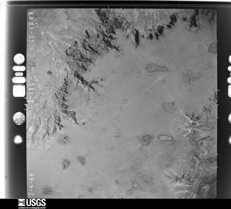
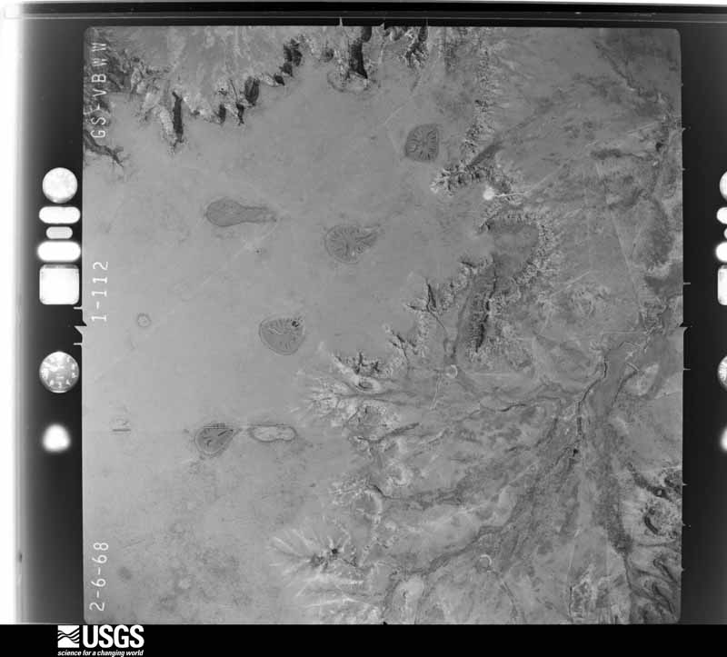
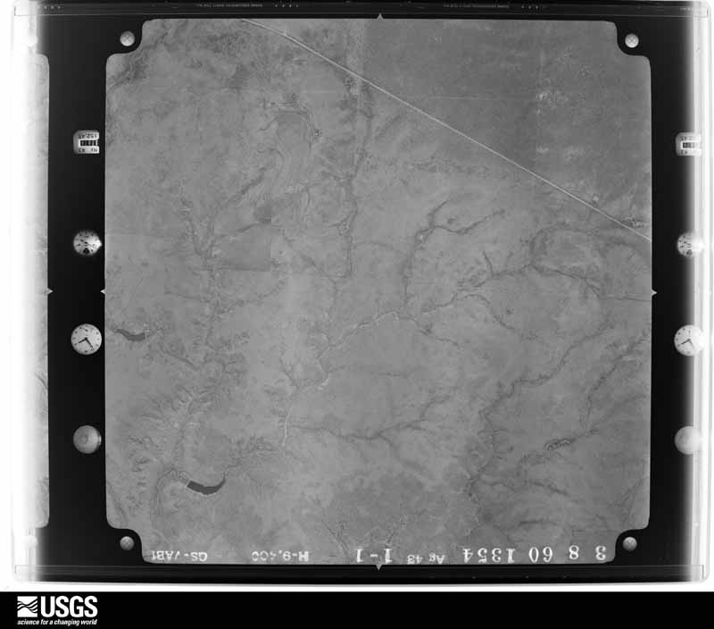
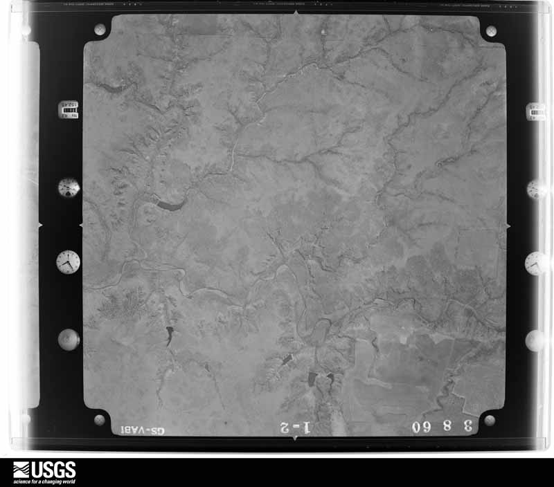
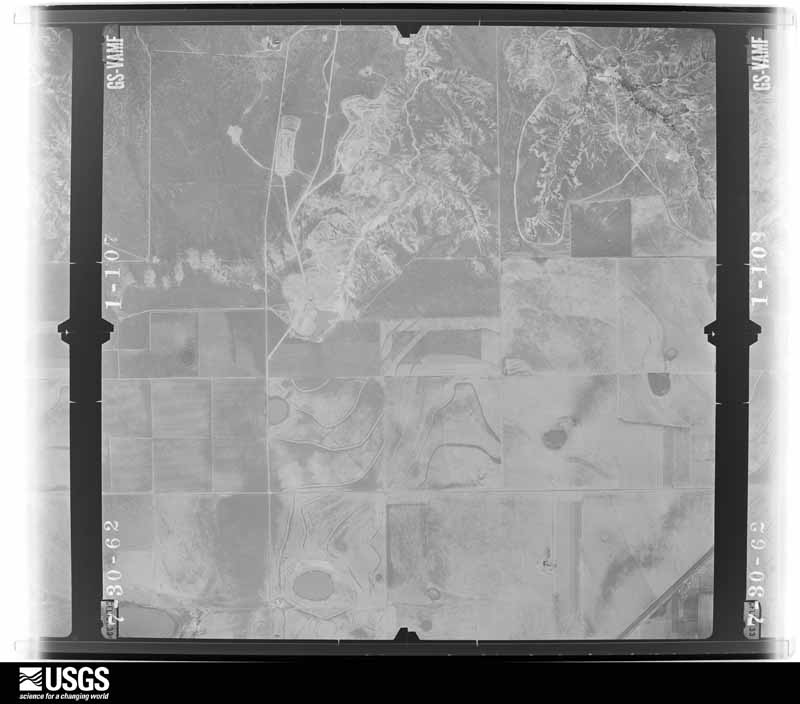
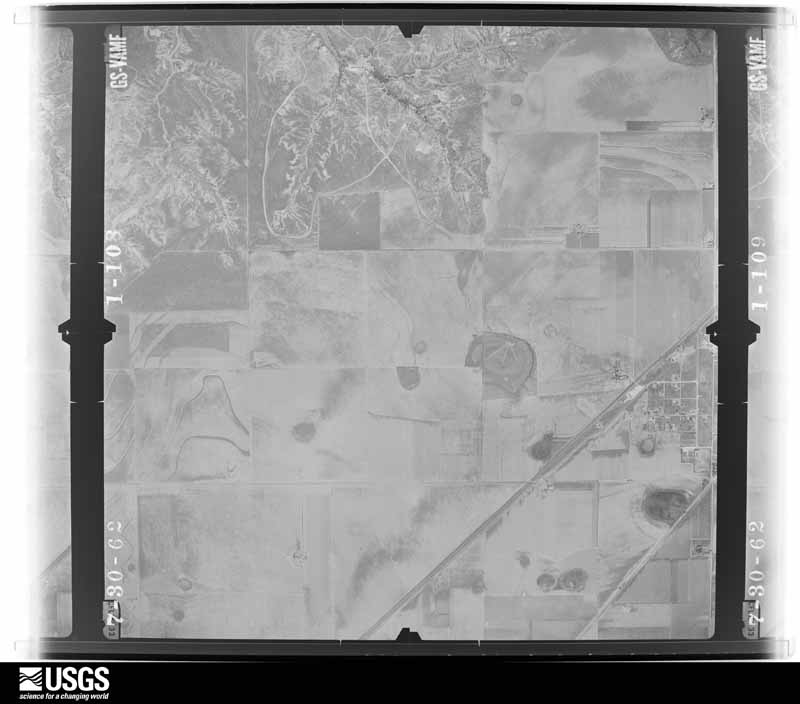
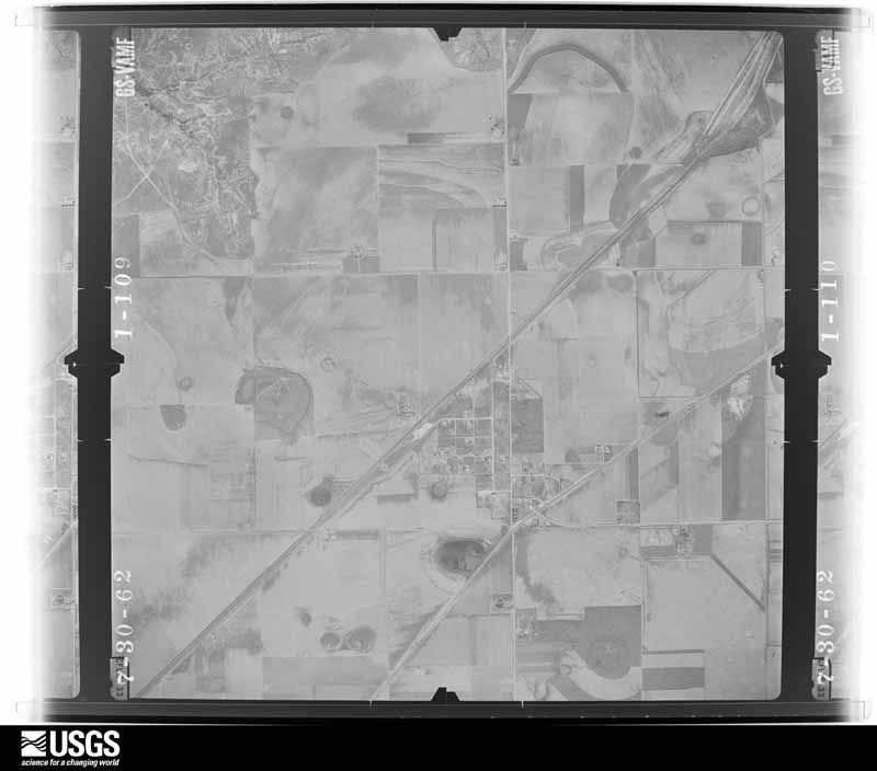
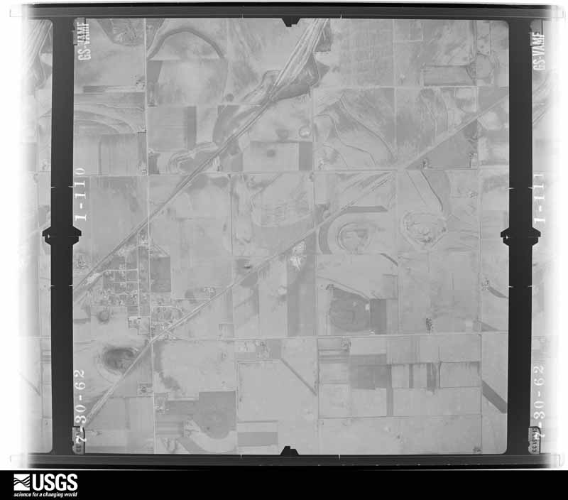
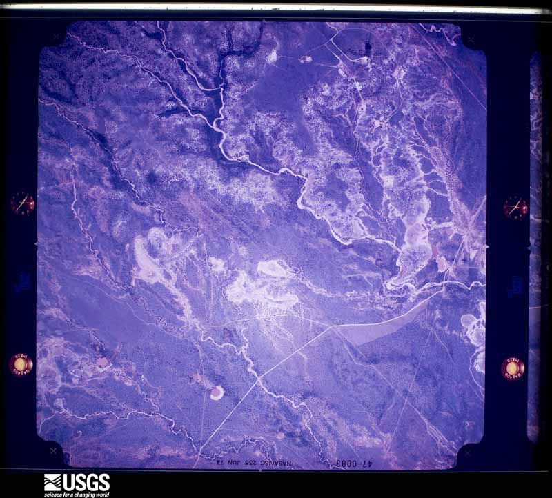
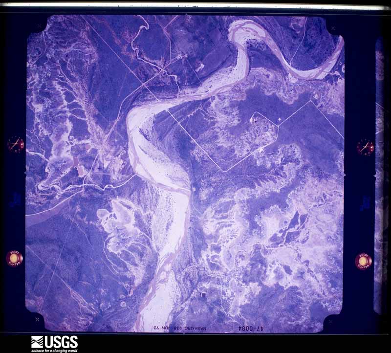
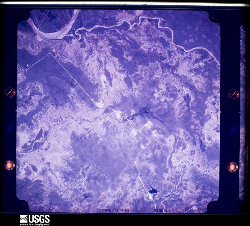
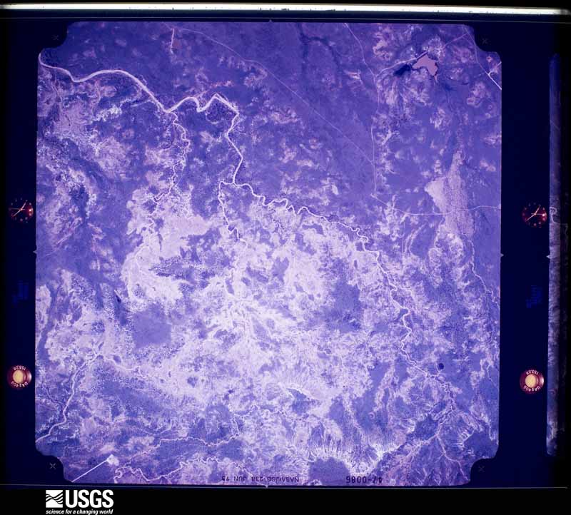
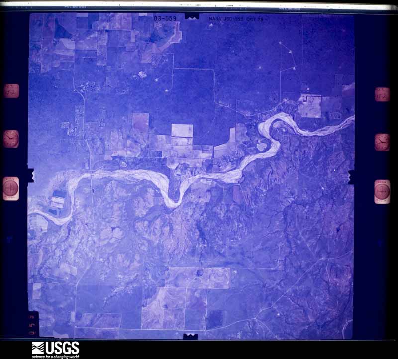
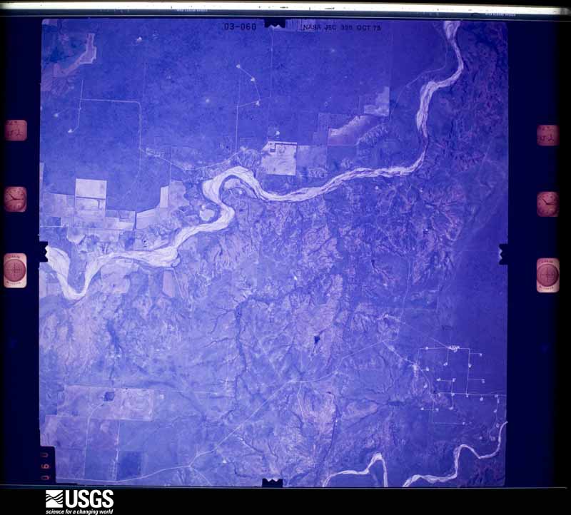
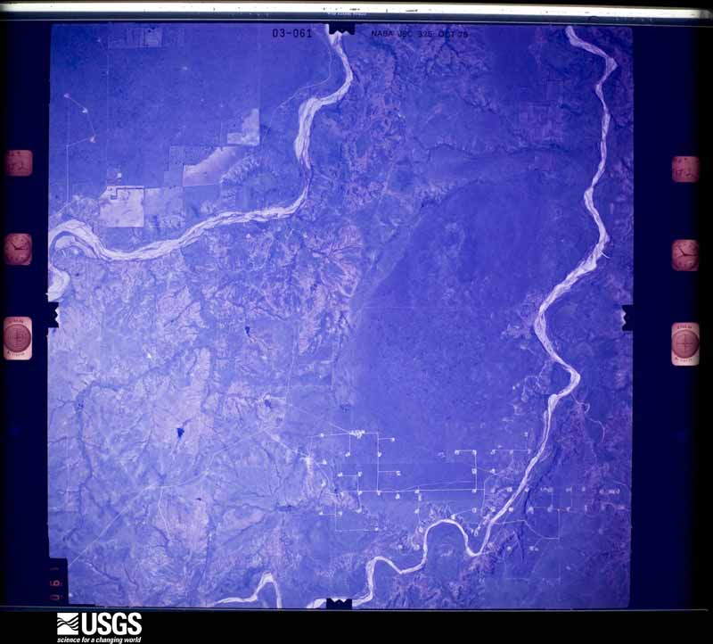
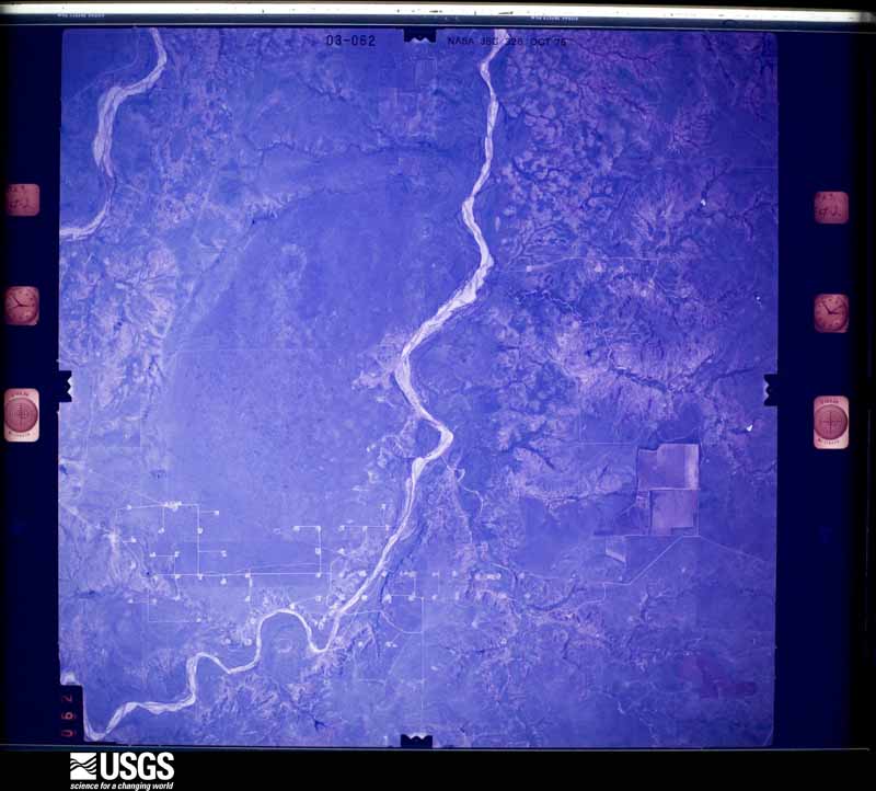
Flown by the U.S. Geological Survey between 1937 and 1989, the Aerial Photo Single Frames collection is the definitive mid-century view of the land: fields, roads and rivers as the camera saw them. The Survey holds 862 frames inside the rectangle that bounds this county; the 32 frames below were taken over the county itself, chosen across the decades of flights (at most four a year from that rectangle), so one flight cannot crowd out the rest. The full set is free to browse and download at EarthExplorer under the dataset Aerial Photo Single Frames.
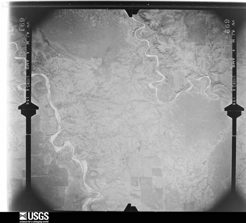
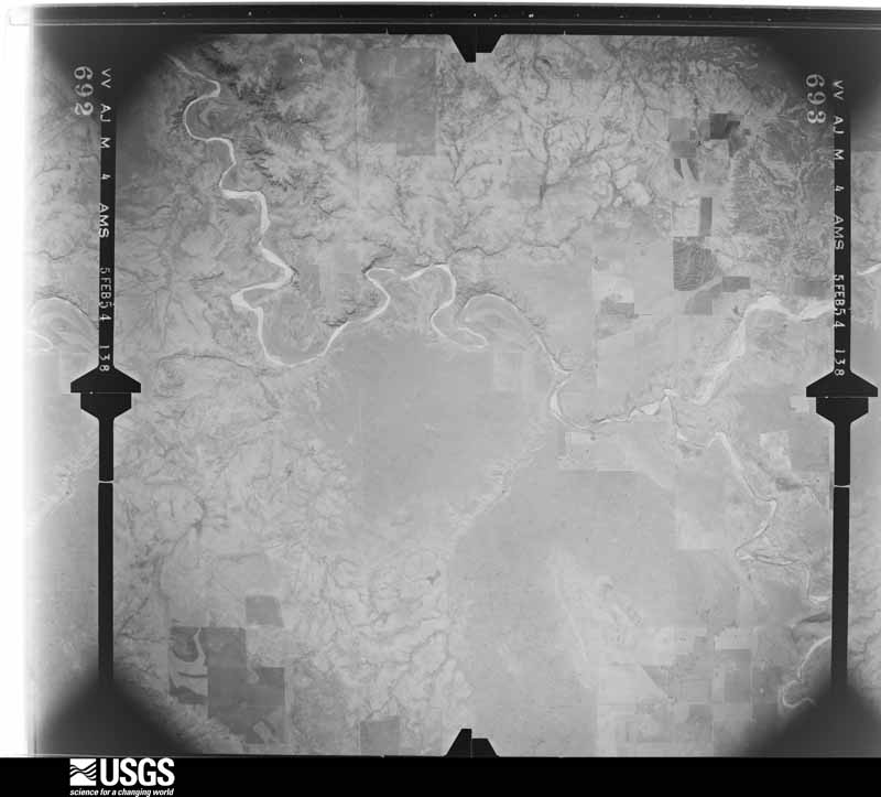
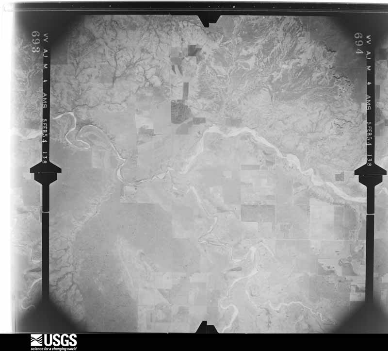
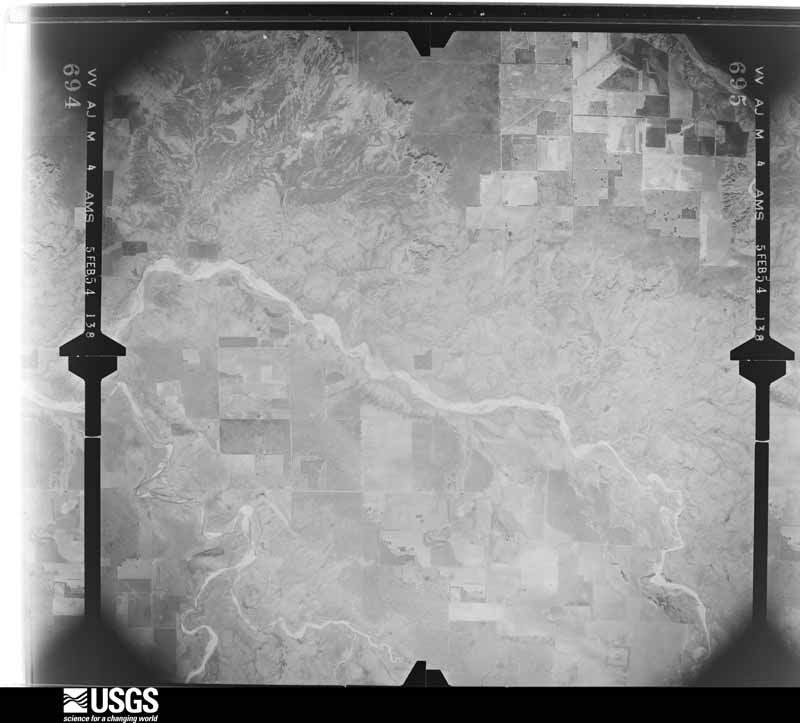
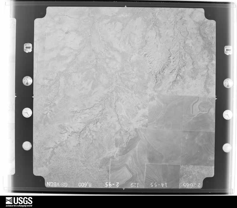
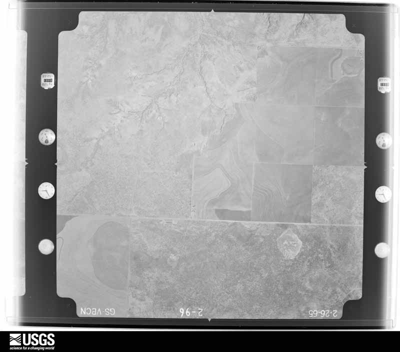
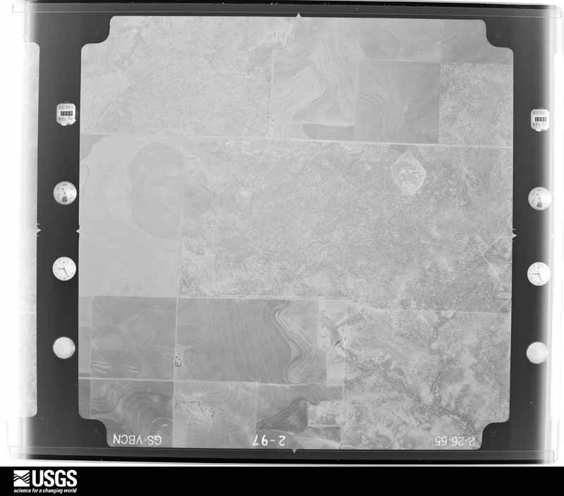
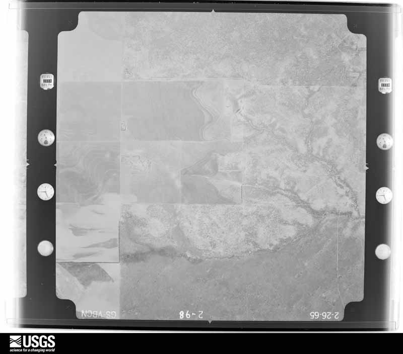
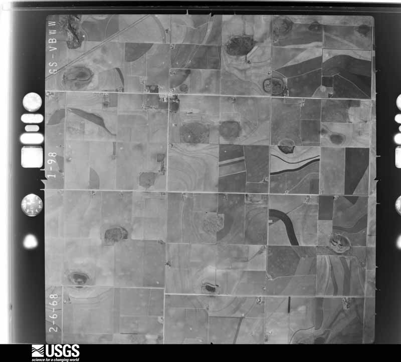
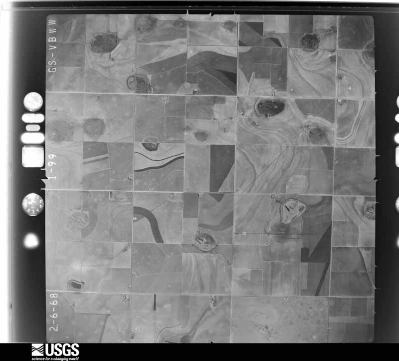
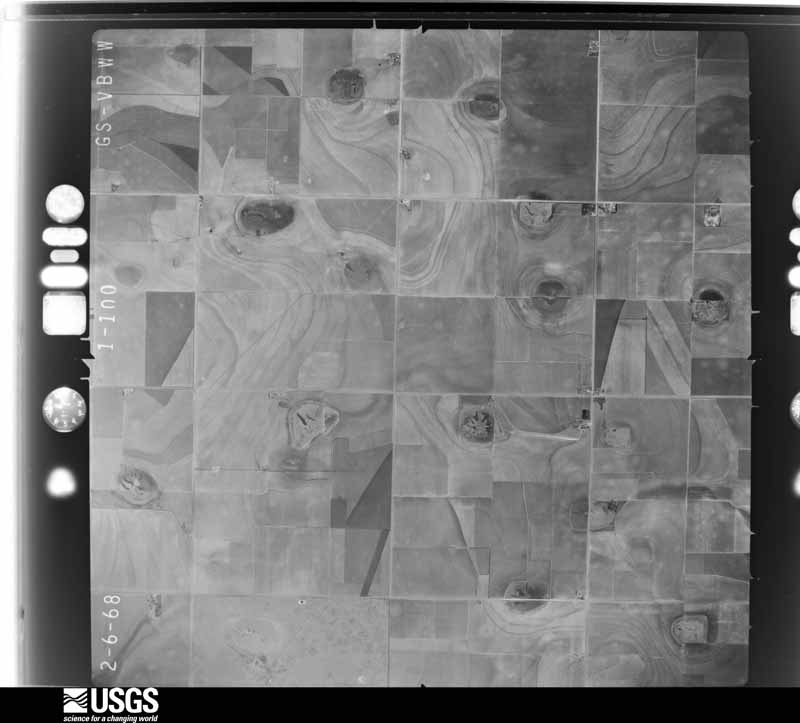
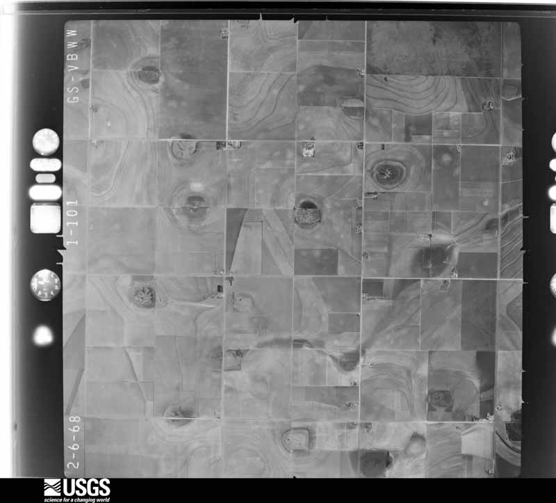
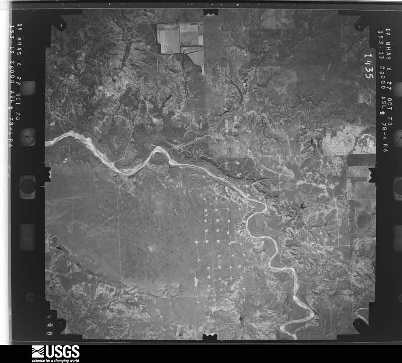
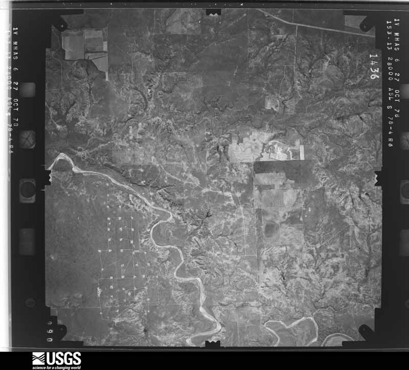
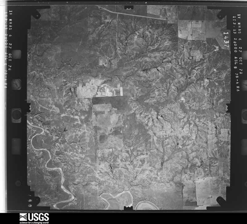
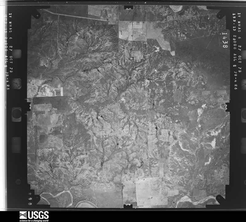
The thermometers that kept this county's weather, and the gages that measured the flow of its streams, as the federal records hold them. The extremes below are measured values from those records, not estimates.
Who lived here in 1950, one enumeration district at a time, as the Census Bureau described each district. Each row opens its official National Archives result, with Population Schedules and ED Maps available there.
Every wildfire the federal occurrence database records inside this county: 80 of them, burning about 67,187 acres. 13 started naturally and none was recorded as arson. Each settlement page carries the fires within five miles of it.
| Reported cause | Fires |
|---|---|
| Equipment and vehicle use | 34 |
| Missing data/not specified/undetermined | 24 |
| Natural | 13 |
| Power generation/transmission/distribution | 3 |
| Smoking | 3 |
| Debris and open burning | 2 |
| Railroad operations and maintenance | 1 |
The five largest, by the area the report gives. None of them was recorded as arson.
| Date | Cause | Size | Reported by | Name on the report |
|---|---|---|---|---|
| 9 April 2011 | Power generation/transmission/distribution | 32,000 acres | Texas A & M Forest Service | KILLOUGH FIRE |
| 24 June 2011 | Missing data/not specified/undetermined | 7,000 acres | Texas A & M Forest Service | RICHARDSON FIRE |
| 3 April 2011 | Missing data/not specified/undetermined | 6,000 acres | Texas A & M Forest Service | JUSTICE BURG FIRE |
| 2 April 2008 | Missing data/not specified/undetermined | 4,000 acres | Texas A & M Forest Service | not named |
| 24 May 2011 | Power generation/transmission/distribution | 3,000 acres | Texas A & M Forest Service | MIDDLETON FIRE |
| 9 August 2019 | Natural | 2,035 acres | Texas A & M Forest Service | CHIMNEY CREEK |
| 19 April 2011 | Missing data/not specified/undetermined | 2,000 acres | Texas A & M Forest Service | SOUTHWEST ROYALTY FIRE |
| 16 April 2008 | Equipment and vehicle use | 1,200 acres | Texas A & M Forest Service | U LAZY S |
Every settlement page carries the fires within five miles of it - see the settlement index below.
The NOAA Storm Events Database holds 358 reports for this county, causing no deaths, 2 injuries and about $3,378,130 in recorded property damage. Each settlement page carries the reports that name it.
| Kind of event | Reports |
|---|---|
| Hail | 187 |
| Thunderstorm Wind | 115 |
| Tornado | 25 |
| Flash Flood | 21 |
| Flood | 7 |
| Heavy Rain | 3 |
The most serious of them, by death, then injury, then recorded damage. The accounts are quoted exactly as the forecast office filed them.
| When | Event | Place named | Harm | What the report says |
|---|---|---|---|---|
| May 2006 | Thunderstorm Wind | Justiceburg | 1 hurt, $350,000 | A wet microburst produced destructive winds that spread south through a small mobile home community at Lake Alan Henry near the intersection of Farm to Market Roads 2458 and 3519. One resident of the community was injured during the storm. A National Weather Service damage survey team estimated that winds associated with the microburst exceeded 90 MPH. One mobile home was blown toward the south and impacted two vehicles that were parked in front of an adjacent home. Debris, including the steel-frame structure of the mobile home, pushed the two vehicles up to 40 feet while the remains of the home were blown more than 40 yards into an open field. One vehicle was crushed by the weight of the flying debris. Another vehicle, a large truck, was reported by one of the residents to have been lifted in the front-end and then pushed across the yard. The tracks on the ground from the rear tires were noted by the survey team. Another mobile home was completely removed from its foundation and blown approximately 40 yards to the southeast into an open field. Lighter debris was scattered over 100 yards toward the south.Four other vehicles in the mobile home community also were damaged from flying debris. The front-end of a large truck was struck by a dumpster. A small sports utility Vehicle was impaled through a passenger side window by a ladder. Two other mobile homes sustained roof and window damages. An object impaled the top of one home, and residents reported major damage to the home's interior. The Texas Tech West Texas Mesonet station located one mile northwest of Lake Alan Henry measured a wind gust of 79 mph from the west/northwest at 7:40 PM. |
| June 1997 | Thunderstorm Wind | Post | 1 hurt, $15,000 | no account filed |
| July 2010 | Flash Flood | Southland | $1,500,000 | The Garza County Sheriff's Office initially reported impacts from flash flooding shortly after 05:00 CST. At 05:03 CST, high water reportedly began to threaten a home in Southland and water was beginning to rapidly flow through many Post city streets. By 05:53 CST, reports indicated that a playa lake at the Post city pool had flooded and was overflowing with rapidly flowing water spilling over U.S. Highway 84 at a depth that was over the guard rails. By 06:02 CST, emergency officials reported widespread flooding of structures in Post, and that sewer was backing up into many homes and businesses. A door-to-door search was conducted to remove residents from flooded structures. The Lubbock Avalanche-Journal interviewed a woman who's car stalled in flood waters on her way to work. The woman then managed to walk to her place of business, a Post nursing home, where ankle-deep water filled the facility. ||The failure of the Lake Stuart dam in eastern Lynn County resulted in a flood wave that travelled down the Double Mountain Fork of the Brazos River. Flash flooding along the river washed out a number of county roads in southwestern Garza County.|Farther downstream, flash flooding along the Double Mountain Fork upstream of Lake Alan Henry washed away support beams for two small oil lines. As a result, 165 barrels of crude oil spilled into the river and threatened Lake Alan Henry. ||Despite these significant public impacts, no serious injuries were reported. State and county officials estimated the total economic loss in the county at $1.7 million. For the purposes of this report, these damages are differientiated here by flash flood and flood at $1.5 million and $200,000 respectively. |
| June 2002 | Hail | Post | $400,000 | The Garza County Sheriff's office reported baseball size hail in town. |
| May 2015 | Flood | Southland | $250,000 | no account filed |
| June 2003 | Hail | Post | $100,000 | The Garza County Sheriff's Office reported golfball size hail. |
| September 2008 | Flash Flood | Southland | $80,000 | The Garza County Sheriff's Office reported that persistent heavy rainfall resulted in rapidly flowing water over portions of U.S. Highway 84 between Post and Southland. Authorities conducted high water rescues when at least eight vehicles were swept off of the highway. No injuries were reported. In addition, a number of other roadways across Garza County were reportedly flooded. |
| August 2005 | Thunderstorm Wind | Post | $75,000 | The National Weather Service in Lubbock, Texas conducted a damage survey of impacts resultant from severe thunderstorm activity occurring across the area on Saturday, August 27 2005.An outbreak of severe thunderstorms developed across the NWS Lubbock forecast and warning area of responsibility during the late afternoon on Saturday and continued through the pre-midnight hours. A mesoscale convective system, or a large and organized complex of intense thunderstorms, developed as upper level energy pushed into the Texas Panhandle from the northwest and combined with numerous surface fronts generated from previous thunderstorm outflows. Garza county: A severe thunderstorm produced a swath of significant damage in a relatively isolated area in Garza county. The zone of greatest Impact occurred approximately 8 miles to the west of downtown Post, TX on Highway 380. The pattern of damage was consistent with a thunderstorm downburst. The downburst resulted from what is known as a rear flank downdraft (RFD). An RFD can form in severe thunderstorms as air high above begins to sink rapidly on the backside or rear of the thunderstorm. The RFD can, at times, play a significant role in the formation of a tornado. RFD winds can produce damage comparable to tornado damage, however there will generally be a circulation debris pattern evident when surveying tornado damage.The downburst pattern was bounded from 8 miles west of Post, or beginning at the intersection of Highway 380 and County Road 125, to beyond a mile just past County Road 105. The damage pattern was observed up to two miles south of this location along FM 1313.The debris field started with a snapped stop sign at the intersection of Highway 380 and County Road 125 with 3 cotton trailers and a small cylindrical oil tank blown over, all from a north to south direction. Following this location, along Highway 380, a series of power poles and lines were blown over, snapped, and/or ripped from the ground for a stretch of 1 mile by the downburst wind. All of these poles were blown from a north to south direction.Farther to the south between county roads 105/115/125 and along Fm1313, numerous large trees were snapped and/or uprooted and a few center pivot irrigation systems were blown over. A manufactured home located on County Road 125 sustained damage with layers of shingles lifted off the roof, landing a short distance in the backyard. The front attached patio/walkway was pushed toward the left-front of the home by gusty wind. The debris at this location was blown from an east to west direction and was likely the result of moderate east/southeast inflow in the immediate vicinity of the rotating mesocyclone in the severe thunderstorm. Noted was a small shed and trees adjacent to the home that sustained no impactsfrom the apparent less than severe inflow winds responsible for peeling off the shingles from the roof. No rotation was evident in the pattern of debris fall from the shingles.The Texas Tech/West Texas mesonet station, located 5 miles south of Graham, measured a 69 mph wind gust from the north at 6:35 PM CST. Graham is located approximately 6 miles southeast of the manufactured home. Interviewing local utility crews, a total of 49 power poles were destroyed and several acres of cotton were damaged and/or destroyed. |
| May 1999 | Hail | Post | $75,000 | no account filed |
| April 2009 | Hail | Post | $50,000 | Local law enforcement and fire fighting officials reported that nickel to quarter size hail covered the ground in Post. The accumulating hail combined with heavy rainfall to result in minor flooding of several city streets. A post-storm survey by the National Weather Service revealed minor damage to a number of roofs in Post, and large swaths of de-leafed mesquite trees near the city. |
| October 2006 | Flash Flood | Post | $50,000 | The Garza County Emergency Manager reported that widespread heavy rainfall resulted in flash flooding along several area highways. Flowing flood waters washed out a portion of a new driving surface along U.S. Highway 380 east of Post. A vehicle hydroplaned off of U.S. Highway 84 southeast of Post and came to rest in a flooded playa lake. The driver was rescued by local emergency officials, but did not sustain injuries. Flood waters were reported to be six to eight inches deep over several roadways. Minor flooding also was reported over the western half of the county. |
| June 1998 | Thunderstorm Wind | Post | $50,000 | no account filed |
| April 2009 | Hail | Justiceburg | $30,000 | Operators at the Lake Alan Henry Marina reported giant hail near Turkey Ridge at the intersection of Farm to Market Roads 3519 and 2458. Hail up to the size of softballs damaged a number of roofs and vehicles in the area. No injuries were reported. |
| June 2006 | Thunderstorm Wind | Post | $30,000 | Damaging winds spread southward over Garza County as a large complex of severe thunderstorms impacted the area during the late afternoon hours on the 22nd. Storm spotters initially estimated wind gusts up to 70 MPH in Post at 15:23 CST. By 15:25 CST, local authorities reported that many large trees and utility lines had been blown down in the city. The Texas Tech West Texas Mesonet observations indicated peak gusts to 73 MPH in the vicinity. The severe winds began to affect the Lake Alan Henry area by 16:10 CST, when a gust of 69 MPH was recorded by the West Texas Mesonet near the lake. Severe thunderstorm winds intermittently gusted to near 70 MPH at the lake until 16:22 CST. A local newspaper additionally reported that some minor structural damage also occurred in Post. No injuries were reported. |
| May 2015 | Thunderstorm Wind | Southland | $25,000 | An electric cooperative official reported nine power poles downed by strong winds approximately six miles south of Southland. |
| April 2009 | Hail | Justiceburg | $25,000 | The owners of a general store located between Justiceburg and Lake Alan Henry along Farm to Market Road 3519 reported tennis ball size hail as an intense supercell storm impacted the area between 17:00 and 17:30 CST. The hail damaged air conditioning units on the store's roof and caused damage to vehicles. |
| May 2006 | Flash Flood | Post | $25,000 | Locally intense rainfall over the city of Post resulted in flash flooding along U.S. Highway 380. Fire crews rescued motorists from a submerged vehicle after it was washed off of the highway in flowing flood waters up to one and half feet deep. No injuries were reported. |
| June 2004 | Hail | Post | $25,000 | Garza County Sheriff's Office reported golfball size hail. |
| May 2001 | Hail | Justiceburg | $25,000 | Storm spotters reported golfball size hail. |
| May 1968 | Tornado (F1) | not stated | $25,000 | no account filed |
| April 2009 | Hail | Justiceburg | $20,000 | An intense supercell thunderstorm impacted areas from near Justiceburg northeastward to the Lake Alan Henry vicinity. Large, and occasionally giant hail was reported along its track. ||Residents interviewed during a post-storm National Weather Service survey described a swath of ping pong ball (and occasionally larger) hail that impacted areas from Justiceburg to north of Lake Alan Henry. The hail caused minor roof damage to a few homes, however, much larger hail stones caused more extensive damage east and northeast of Justiceburg near Lake Alan Henry. |
| April 2007 | Hail | Post | $20,000 | The Garza County Seriff's Office reported a wide swath of large hail that ranged in size from pennies to golfballs from just southwester of Post to east-northeast of the city. Golfball size hail was reported at 20:14 CST along U.S. Highway 380 at the Double Mountain Fork of the Brazos River approximately seven miles east of Post. In addition, golfball size hail also was reported along Farm to Market Road 2008 in northeastern Garza County, near the community of Verbena, at 20:40 CST. Reports of damage were limited. |
| April 2000 | Hail | Justiceburg | $20,000 | no account filed |
| July 2010 | Heavy Rain | Southland | $15,000 | Scattered showers and thunderstorms initially began to produce rainfall around midday on the 1st. This activity gradually evolved toward heavy tropical downpours, especially during the evening hours of the 3rd through the morning hours of the 4th.||Although no heavy rains were occurring at the time, wet pavement from earlier heavy rains contributed to the hydroplaning of a vehicle on U.S. Highway 84 near Post around 23:30 CST. The vehicle reportedly came to rest 60 feet off of the highway in a canyon area along the Caprock escarpment. No significant injuries were reported.||The Texas Tech University West Texas Mesonet measured storm rainfall totals that included: 9.78 inches at Post, 9.08 inches at Graham, and 5.88 inches at Lake Alan Henry. Local newspapers reported unofficial amounts between 10.00 and 12.00 inches in western Garza County. |
| April 2000 | Thunderstorm Wind | Post | $15,000 | The Garza County EOC reported power poles and trees blown down by strong thunderstorm wind. The wind also damaged a carport, damaged the roof of a house, and destroyed sheds. |
| May 1999 | Thunderstorm Wind | Post | $15,000 | Strong thunderstorm wind lifted the roof off a house, blew windows out of cars and snapped power poles. |
| June 2020 | Flood | Post | $10,000 | Very heavy rainfall affected a portion of Texas State Highway 207 approximately four to five miles north of Post. Photos from social media showed that the road was damaged and impassable. |
| May 2016 | Hail | Post | $10,000 | Law enforcement in Garza County as well as a storm chaser reported hail up to five inches in and around Post along US Highway 84 and US Highway 380. The only damage reported was broken car windows. This giant hail occurred with a left moving supercell thunderstorm. |
| May 2000 | Thunderstorm Wind | Post | $10,000 | Strong thunderstorm wind blew over an 18-wheeler carrying a mobile home, broke a utility pole, and damaged the roof of a house. |
| May 2018 | Thunderstorm Wind | Post | $8,000 | A series of downbursts caused a swath of light to moderate damage from Post southeast to Lake Alan Henry. In Post, the metal roof to the city maintenance building was peeled back causing some water damage to the materials and electronics inside. Farther southeast near Lake Alan Henry, very minor damage to boat storage facilities was noted in addition to a damaged road sign. |
| December 2018 | Thunderstorm Wind | Justiceburg | $5,000 | A carport at Turkey Ridge was blown over and damaged. |
| April 2007 | Hail | Post | $5,000 | Local officials reported tennis ball size hail near Farm to Market Road 2008 in northeastern Garza County. Reports of damage were limited. |
| April 2007 | Hail | Post | $5,000 | A severe thunderstorm produced a swath of hail up to the size of nickels across northwestern Garza County. Hail accumulated five inches deep on U.S. Highway 84 by 13:30 CST. Snow-plows were used to remove the hail from the driving surface. Residents of northern Garza County continued to report large hail as the storm moved east of the highway. |
| May 1995 | Thunderstorm Wind | Post | $5,000 | no account filed |
| May 1995 | Hail | Justiceburg | $5,000 | no account filed |
| May 2015 | Thunderstorm Wind | Graham Chapel | $2,000 | The Texas Tech University West Texas Mesonet site southwest of Graham measured a 59 mph wind gust as a thunderstorm moved through. This swath of damaging downburst winds continued northeast into Post, producing tree damage and lifting the roof off of a shed. |
| April 2009 | Tornado (EF0) | Justiceburg | $1,000 | Yet another intense supercell storm moved northeastward over southeastern Garza County during the 18:00 CST hour. ||Mutliple storm chasers and the public observed a deeply occluded mesocyclone with a well-developed funnel-shaped lowering southwest of Justiceburg. A veteran storm chaser near the storm observed intermittent wisps of condensation at the ground at 18:20 CST. The brief tornado lasted approximately one minute and remained over open country. Shingles were reportedly blown off of a home in the area, but no other damages were reported. |
| May 2006 | Hail | Justiceburg | $1,000 | A motorist reported that hail, at least as large as ping pong balls, shattered their vehicle's windsheild while traveling along U.S. Highway 84 southeast of Justiceburg. |
| April 2012 | Flood | Southland | $500 | Slow-moving thunderstorms this night flooded a portion of Highway 84 near Southland to such an extent that tractor trailers were unable to proceed. |
| April 2012 | Hail | Post | $300 | A swath of very large hail fell from just north of Post east into eastern Garza County. A vehicle's windshield was damaged by baseball size hail two miles north of Post along highway 207. Farther east, a half-mile corridor of hail up to two inches in diameter fell at highways 380 and 208. |
| July 1978 | Tornado (F0) | not stated | $250 | no account filed |
| April 1993 | Hail | Post | $50 | Golf ball-size hail fell on United States Highway 380 east of Post, according to the Garza County Sheriff's Office. No significant damage resulted. |
| May 1982 | Tornado (F0) | not stated | $30 | no account filed |
| April 2026 | Hail | Post | - | A couple of reports were received of hail early in the morning of the 28th in and around Post. Local broadcast media relayed a report of quarter size hail in the town of Post with two inch hail to the southeast of Post. No damage was reported. |
| May 2025 | Thunderstorm Wind | Graham Chapel | - | A Texas Tech University West Texas mesonet site near Graham measured a severe wind gust of 60 mph. |
| April 2025 | Hail | Post | - | Several reports were received of very large hail from west of Post into the city of Post. Hail sizes ranged from two inches in diameter to 3.50 inches in diameter. No damage was reported. |
| April 2025 | Flash Flood | Close City | - | Heavy rain from severe thunderstorms repeatedly trained over central Garza County resulting in flash flooding in and around Post. Numerous streets in and around Post were inundated with water. |
| April 2025 | Tornado (EFU) | Post | - | A slow moving supercell thunderstorm produced five known tornadoes. This is the first of the five tornadoes. A report was received from the public of a brief tornado over open country. No damage was reported. |
| April 2025 | Tornado (EFU) | Augustus | - | A slow moving supercell thunderstorm produced five known tornadoes. This is the second of the five tornadoes. Storm chasers reported a brief touchdown in an open field. No damage was reported. |
| April 2025 | Tornado (EFU) | Augustus | - | A slow moving supercell thunderstorm produced five known tornadoes. This is the third of the five tornadoes. Storm chasers reported a tornado over open country. No damage was reported. |
| April 2025 | Tornado (EFU) | Augustus | - | A slow moving supercell thunderstorm produced five known tornadoes. This is the fourth of the five tornadoes. Storm chasers reported a tornado over open country. No damage was reported. |
| April 2025 | Tornado (EFU) | Augustus | - | A slow moving supercell thunderstorm produced five known tornadoes. This is the fifth of the five tornadoes. An NWS cooperative weather observer observed a brief tornado over open country. No damage was reported. |
| April 2025 | Flash Flood | Post | - | An NWS storm survey revealed significant flooding northeast of Post along several roadways. A slow moving supercell thunderstorm produced very heavy rainfall over an extended period of time over areas of rural Garza County. Water was flowing over Farm to Market Road 2008 three miles south of Farm to Market Road 651 along McDonald Creek. Most of the county roads were muddy and impassable at the time of the storm survey. |
| April 2025 | Thunderstorm Wind | Post | - | A Texas Tech University West Texas mesonet site near Post measured a wind gust to 64 mph. |
| June 2025 | Thunderstorm Wind | Graham Chapel | - | A Texas Tech University West Texas mesonet site near Graham measured intermittent severe wind gusts from 2051 CST through 2204 CST. A peak wind gust of 67 mph was measured at 2133 CST. |
| June 2025 | Hail | Post | - | A photograph on social media showed hail up to golf ball size in Post. |
| July 2024 | Thunderstorm Wind | Graham Chapel | - | Several Texas Tech University West Texas mesonet sites across Garza County observed a swath of severe thunderstorm winds including near Graham, Post, and Lake Alan Henry. A peak wind gust of 73 mph was measured at 1856 CST near Post. |
| April 2024 | Hail | Post | - | An off-duty NWS employee reported hail up to golf ball size east of Post along US Highway 380. No damage was reported. |
| April 2024 | Hail | Justiceburg | - | A report was received of quarter size hail just to the north of Lake Alan Henry. |
| April 2024 | Thunderstorm Wind | Justiceburg | - | A Texas Tech University West Texas mesonet site near Lake Alan Henry measured severe wind gusts from 0548 CST through 0549 CST. A peak wind gust of 69 mph was measured at 0548 CST. |
Named settlements recorded in the Geographic Names Information System, each with the topographic sheets covering it. Villages, hamlets and abandoned places alike. Each is shown with the nearest named watercourse or landform and the survey quadrangle it falls on.
Post East census division · 79356 · Near Two Bush Knob · Post East quadrangle
7 sheets, 1954 to 1986
Post East census division · 79330 · On Salt Branch · Justiceburg quadrangle
7 sheets, 1954 to 1986