 Block
BlockFrom the record
1 National Register listing published here.
Sources: the National Register database, National Park Service
30 topographic sheets cover 20 settlements here, and 1 property is on the National Register of Historic Places.
1 National Register listing published here.
Sources: the National Register database, National Park Service
Every property in this county listed on the National Register of Historic Places, with the year it was listed and the federal nomination document.
| Photograph | Property | Type | Listed | Reference |
|---|---|---|---|---|
| Plainview Commercial Historic District | district | 1982 | 82004855 |
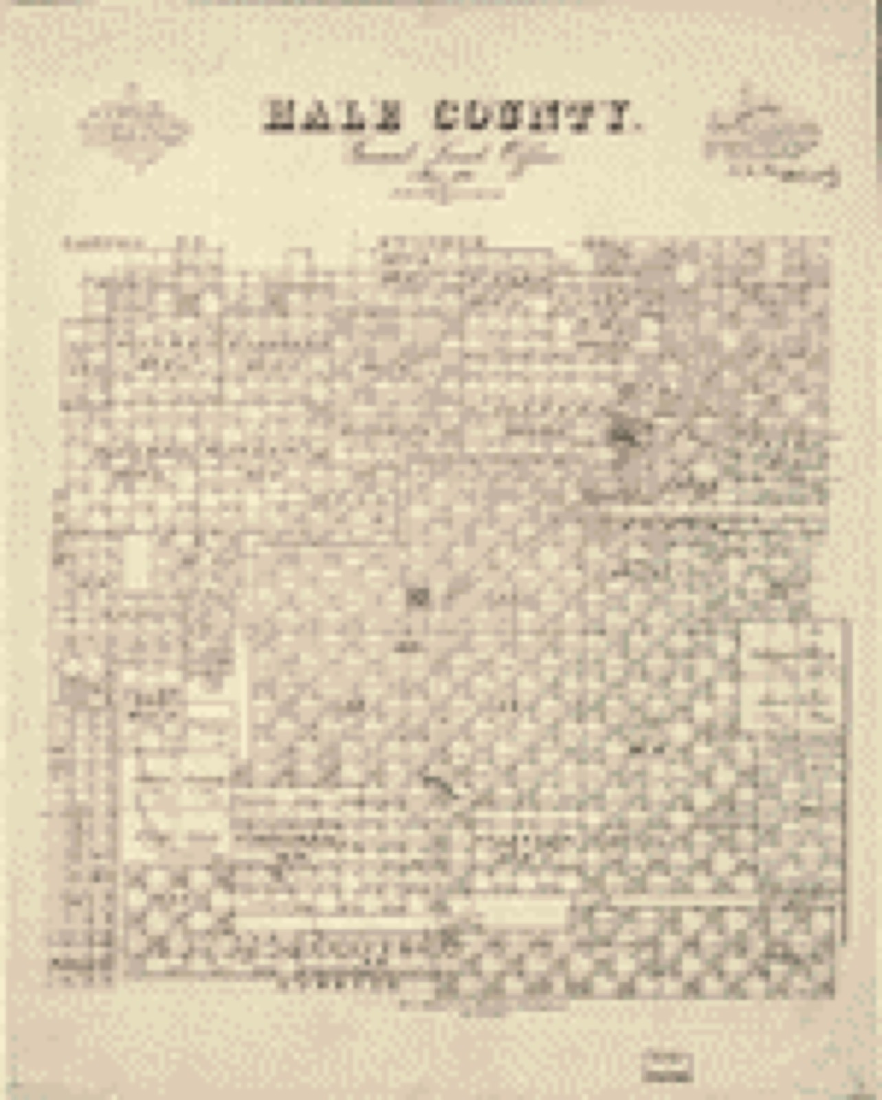
Drawn when these were printed as single large sheets: the town seen from the air, and the county divided into its farms with every owner named. Each opens the original at the Library of Congress.
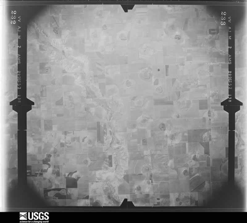
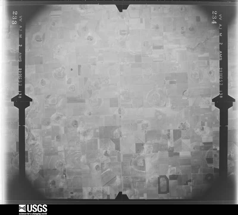
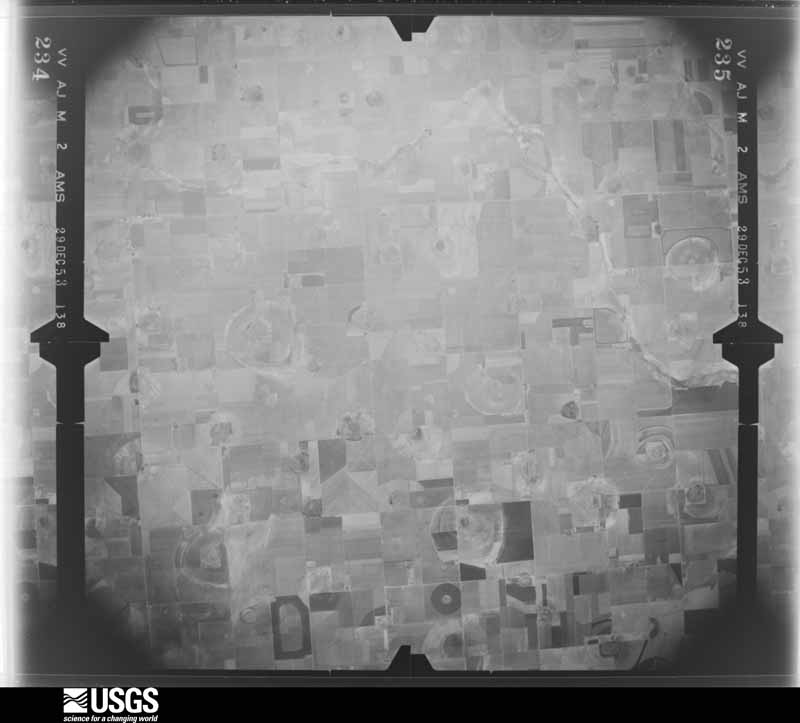
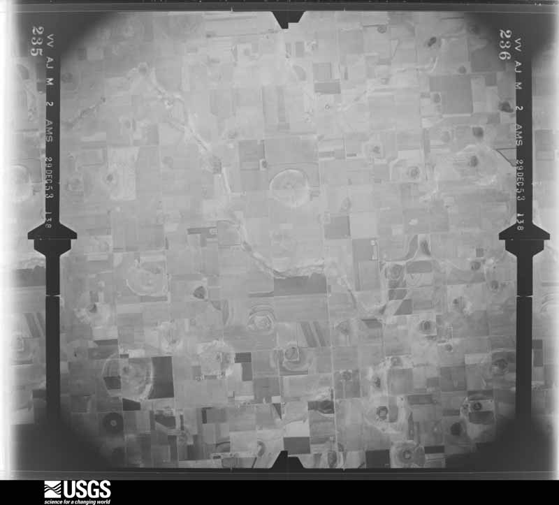
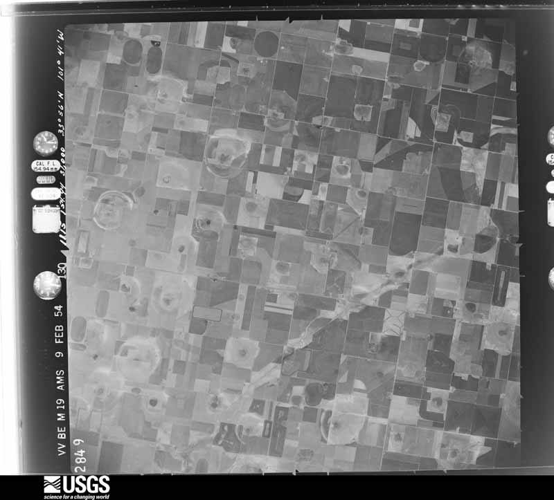
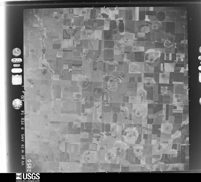
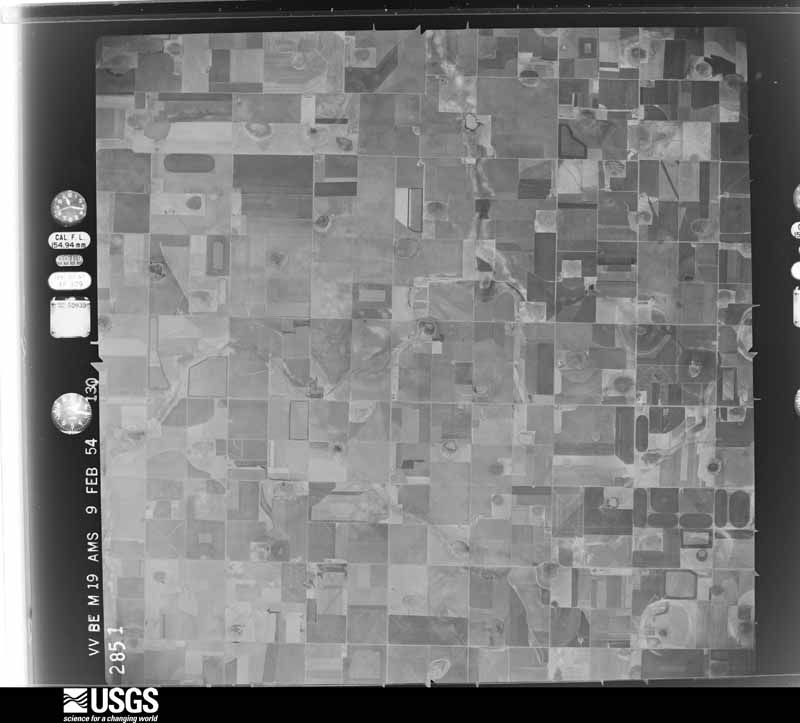
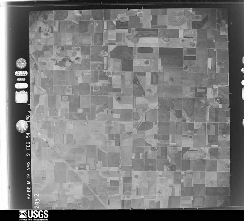
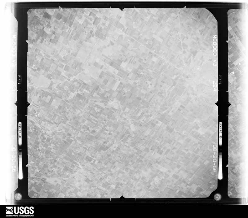
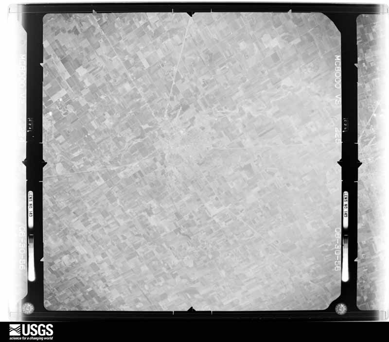
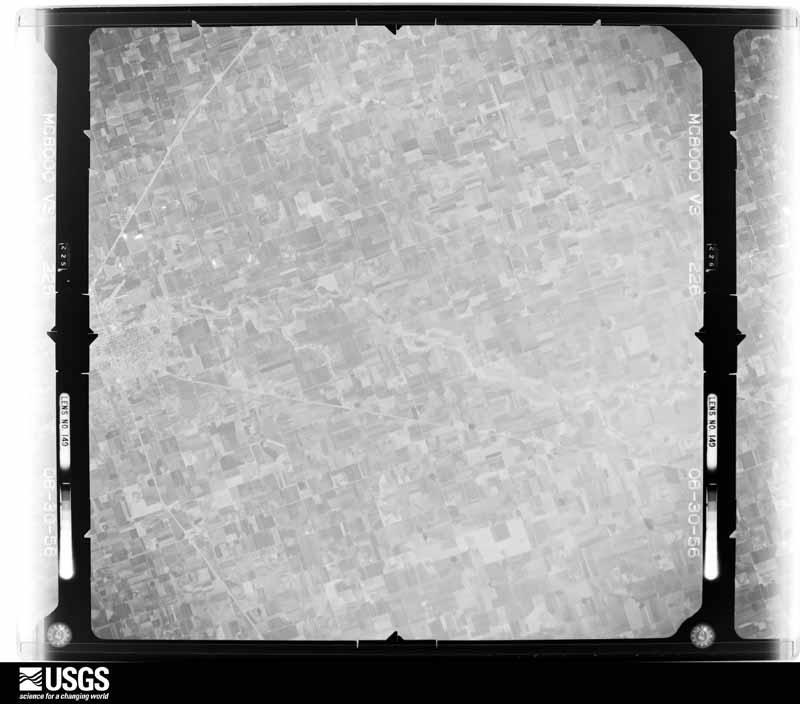
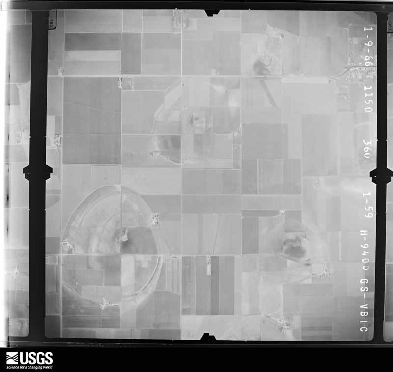
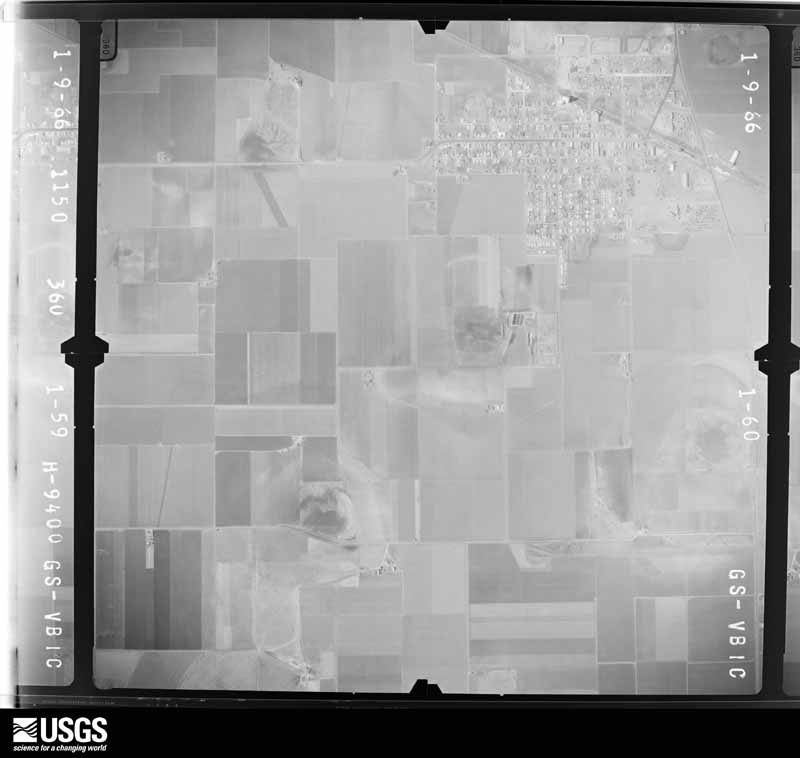
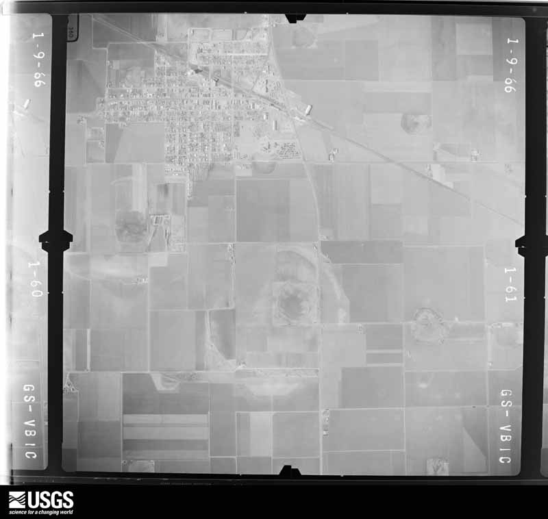
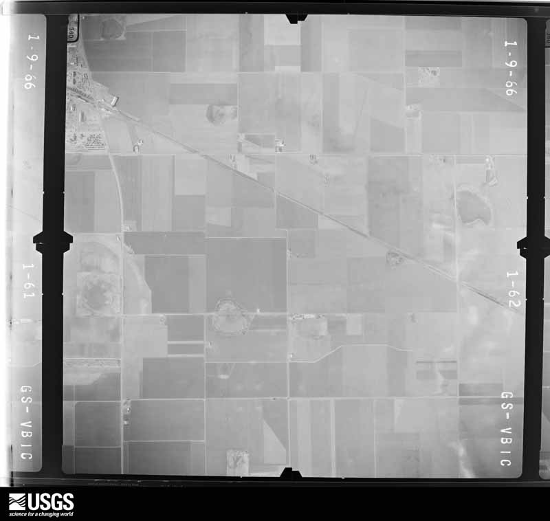
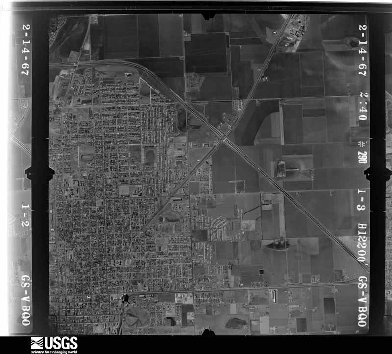
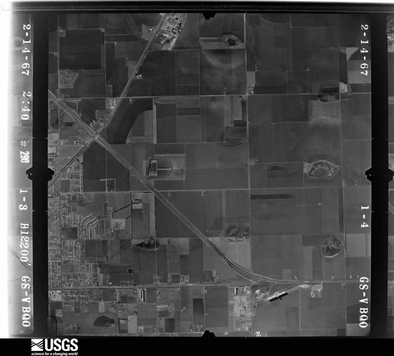
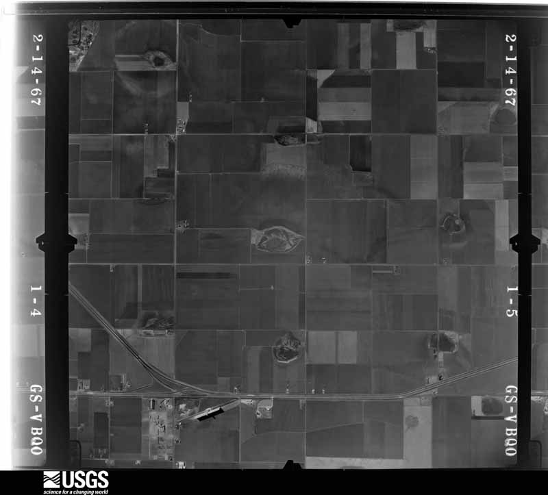
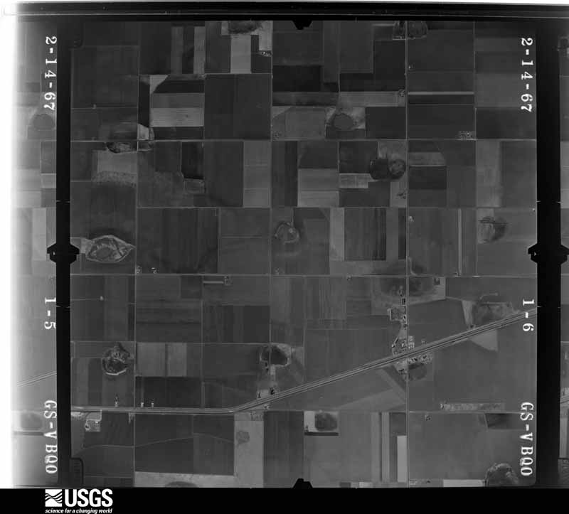
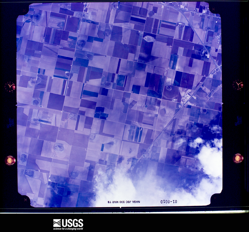
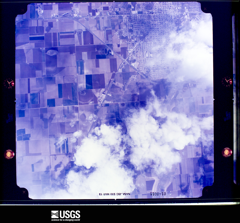
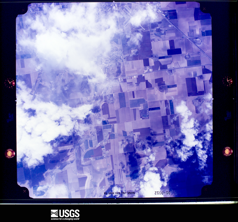
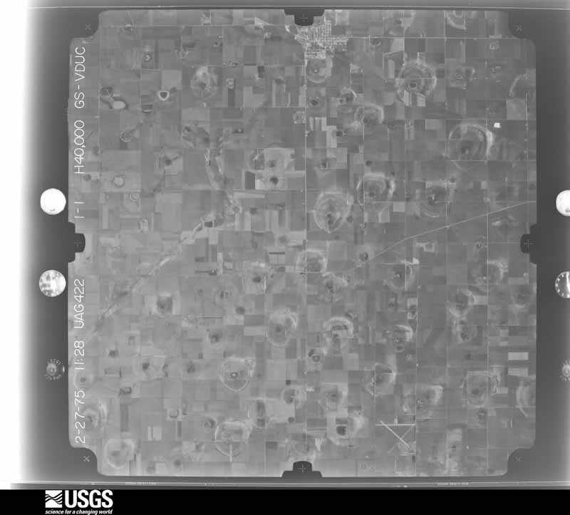
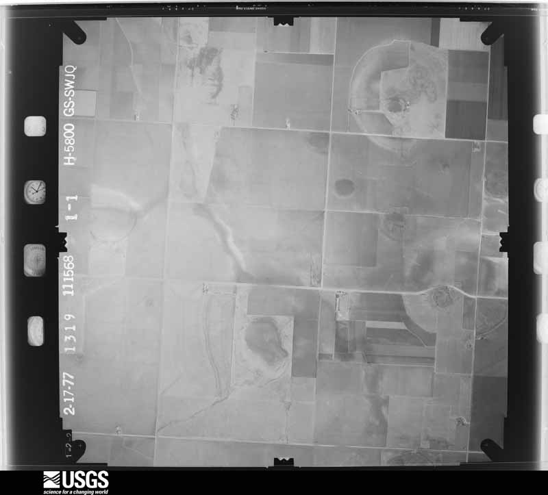
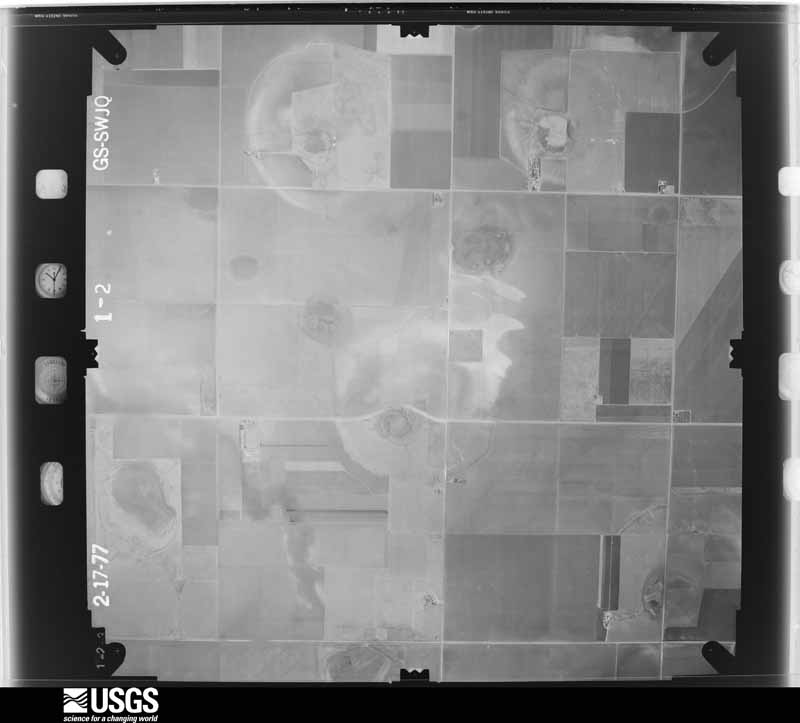
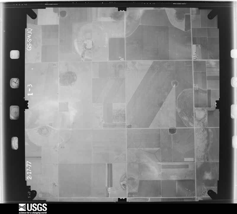
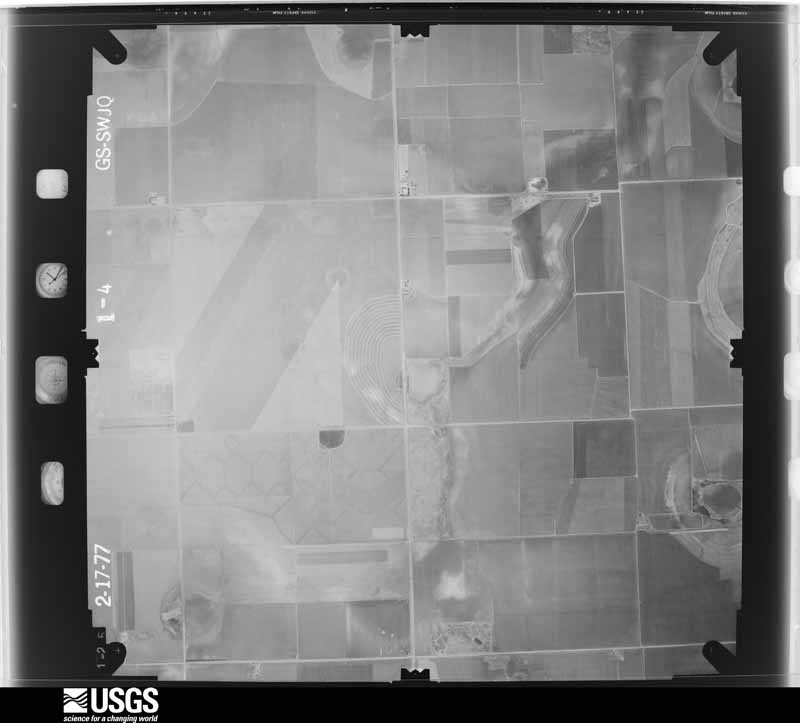
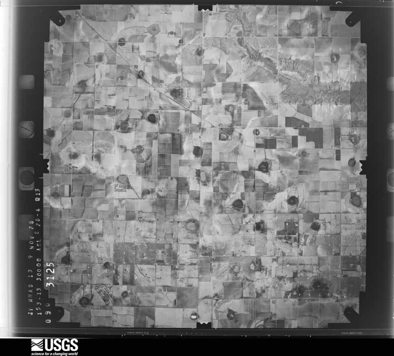
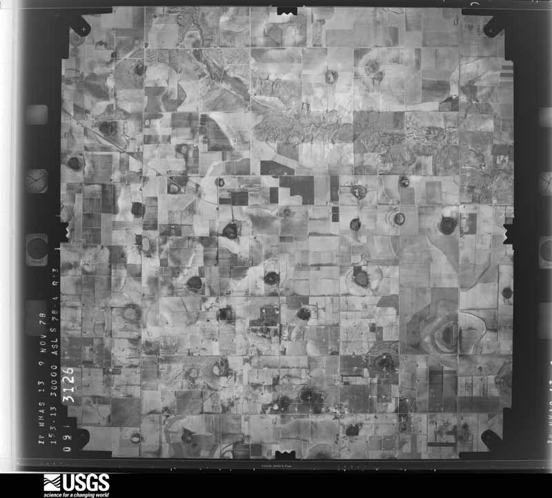
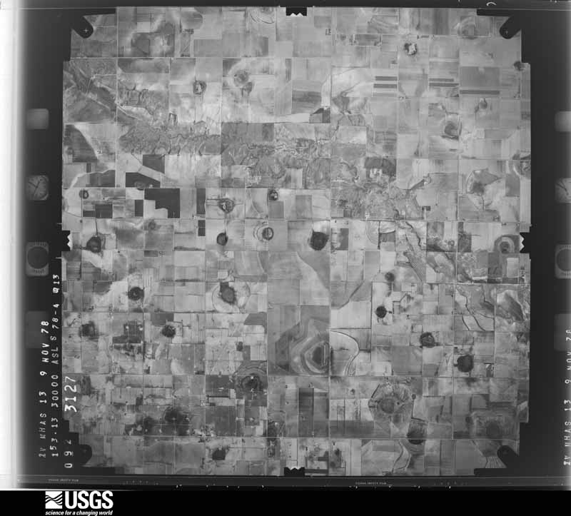
Flown by the U.S. Geological Survey between 1937 and 1989, the Aerial Photo Single Frames collection is the definitive mid-century view of the land: fields, roads and rivers as the camera saw them. The Survey holds 1,520 frames inside the rectangle that bounds this county; the 45 frames below were taken over the county itself, chosen across the decades of flights (at most four a year from that rectangle), so one flight cannot crowd out the rest. The full set is free to browse and download at EarthExplorer under the dataset Aerial Photo Single Frames.

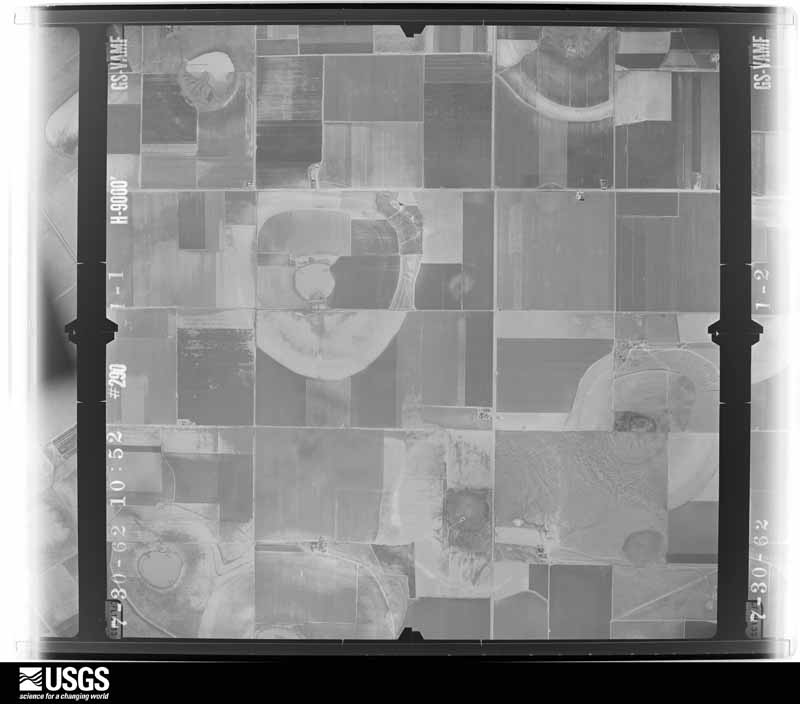
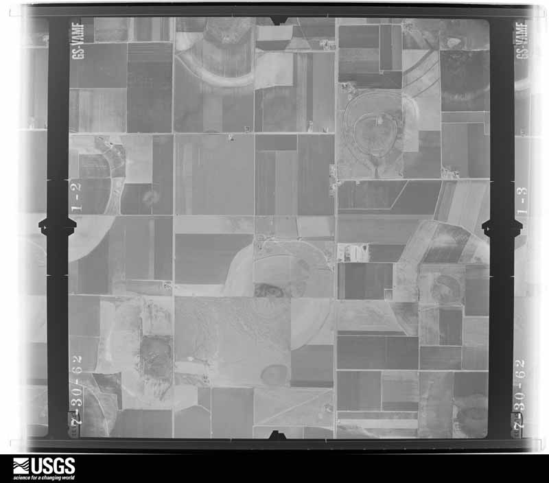
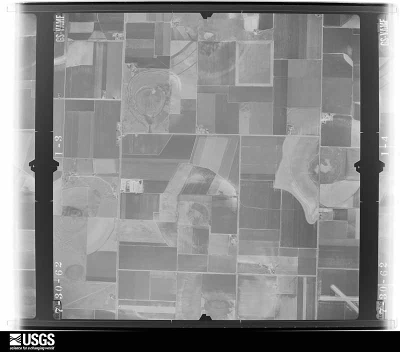
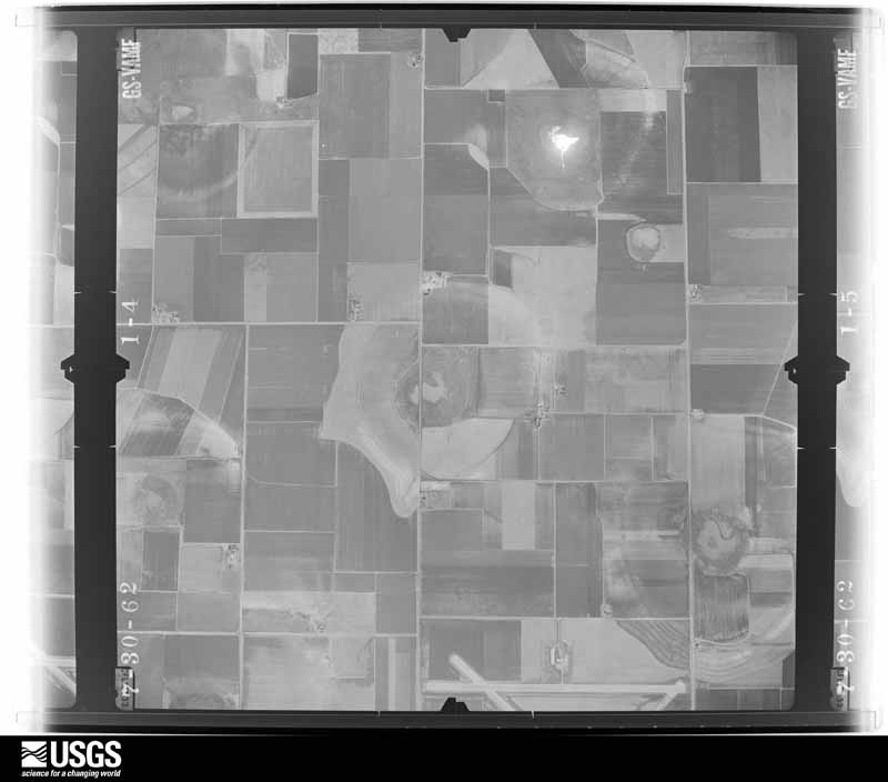





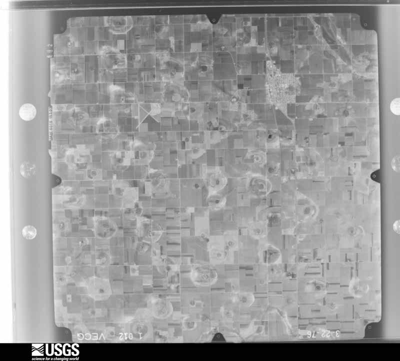
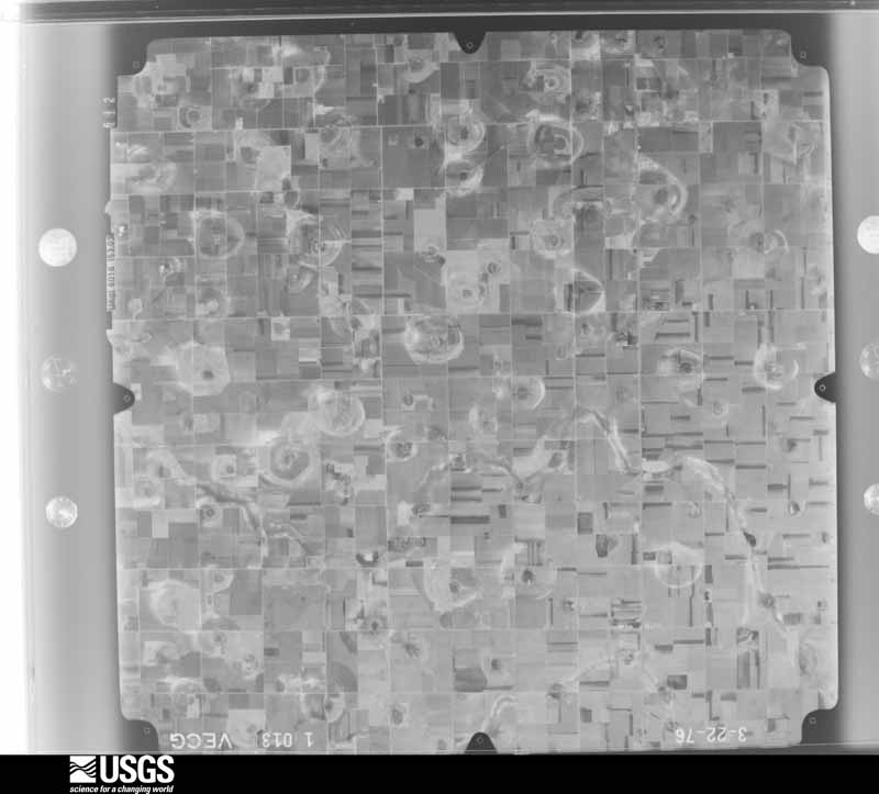
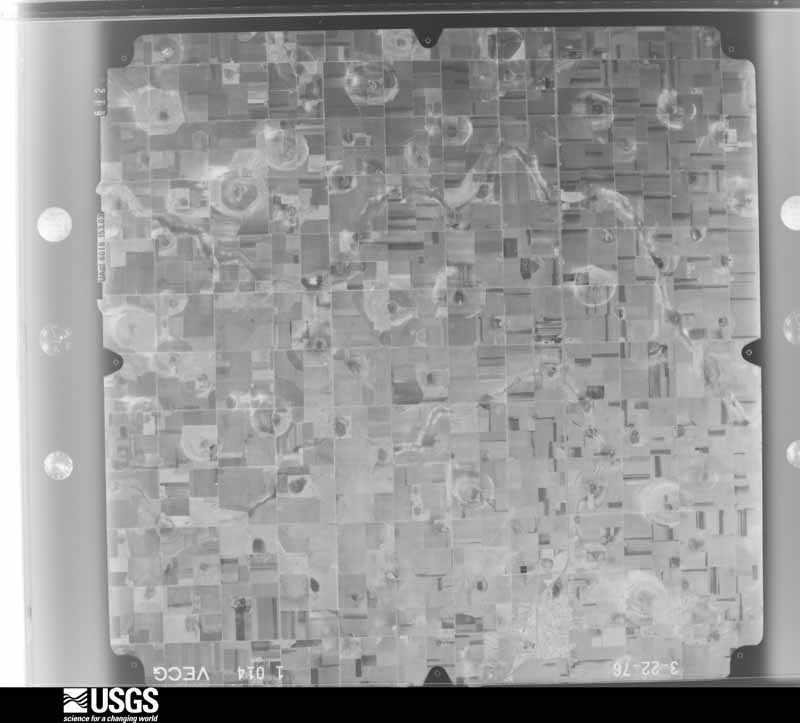
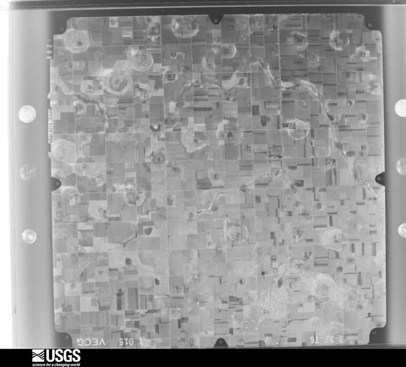

The thermometers that kept this county's weather, and the gages that measured the flow of its streams, as the federal records hold them. The extremes below are measured values from those records, not estimates.
Who lived here in 1950, one enumeration district at a time, as the Census Bureau described each district. Each row opens its official National Archives result, with Population Schedules and ED Maps available there.
Every wildfire the federal occurrence database records inside this county: 114 of them, burning about 10,254 acres. 7 started naturally and 4 were recorded as arson. Each settlement page carries the fires within five miles of it.
| Reported cause | Fires |
|---|---|
| Missing data/not specified/undetermined | 70 |
| Equipment and vehicle use | 19 |
| Debris and open burning | 11 |
| Natural | 7 |
| Arson/incendiarism | 4 |
| Power generation/transmission/distribution | 2 |
| Smoking | 1 |
The five largest, by the area the report gives. None of them was recorded as arson.
| Date | Cause | Size | Reported by | Name on the report |
|---|---|---|---|---|
| 25 February 2008 | Missing data/not specified/undetermined | 2,100 acres | Texas A & M Forest Service | 400 GIN |
| 12 March 2006 | Debris and open burning | 1,000 acres | Texas A & M Forest Service | not named |
| 12 March 2006 | Missing data/not specified/undetermined | 800 acres | Texas A & M Forest Service | not named |
| 18 November 2017 | Missing data/not specified/undetermined | 600 acres | Texas A & M Forest Service | HALE CENTER MUTUAL AID |
| 26 March 2010 | Missing data/not specified/undetermined | 470 acres | Texas A & M Forest Service | 10-0326-01 |
| 6 January 2010 | Missing data/not specified/undetermined | 470 acres | Texas A & M Forest Service | 10-0106-01 |
| 9 November 2010 | Equipment and vehicle use | 366 acres | Texas A & M Forest Service | CURRY FIRE |
| 27 July 2006 | Natural | 350 acres | Texas A & M Forest Service | not named |
Every settlement page carries the fires within five miles of it - see the settlement index below.
The NOAA Storm Events Database holds 716 reports for this county, causing 9 deaths, 158 injuries and about $349,999,210 in recorded property damage. Each settlement page carries the reports that name it.
| Kind of event | Reports |
|---|---|
| Hail | 336 |
| Thunderstorm Wind | 200 |
| Tornado | 133 |
| Flash Flood | 20 |
| Flood | 14 |
| Heavy Rain | 7 |
| Lightning | 3 |
| Funnel Cloud | 2 |
| Dust Devil | 1 |
The most serious of them, by death, then injury, then recorded damage. The accounts are quoted exactly as the forecast office filed them.
| When | Event | Place named | Harm | What the report says |
|---|---|---|---|---|
| June 1965 | Tornado (F4) | not stated | 4 killed, 76 hurt, $25,000,000 | no account filed |
| April 1970 | Tornado (F4) | not stated | 2 killed, 47 hurt, $2,500,000 | no account filed |
| April 1973 | Tornado (F3) | not stated | 2 killed, 26 hurt | no account filed |
| April 1998 | Lightning | Hale Center | 1 killed | Lightning struck and killed a 37 year-old male farmer who was out in an open area next to his irrigation/sprinkler system. |
| May 1989 | Hail | not stated | 5 hurt | no account filed |
| May 1991 | Tornado (F1) | not stated | 2 hurt, $250,000 | no account filed |
| June 2015 | Thunderstorm Wind | Boone | 1 hurt, $500,000 | A particularly intense series of downbursts with winds from 60 to 80 mph traveled east-southeast from about five miles west of Plainview to three miles west-southwest of Aiken. These winds created swaths of damage consisting of siding and roofing blown from homes, downed power poles estimated at nearly 50 in total across northern Hale County, dozens of downed trees, and even two semi-trucks toppled on Interstate 27. One driver suffered minor injuries and required treatment at a hospital. A broadcast media's weather station four miles south of Plainview recorded a peak gust to 73 mph at 513 PM and a Texas Tech University West Texas mesonet one mile south of Plainview registered a peak gust to 65 mph at 525 PM. Law enforcement estimated gusts as high as 80 mph at times when the semi-trucks were blown over. The number of downed power poles along Interstate 27 forced the closure of all lanes for six hours until utility crews could complete the necessary repairs. |
| June 1989 | Hail | not stated | 1 hurt | no account filed |
| May 2015 | Hail | (Pvw)Hale Co Arpt | $300,000,000 | Widespread hail damage occurred to homes, businesses and vehicles in Plainview with the worst damage reported at newly constructed luxury homes in the southwest side of the city where every home would require new roofing. This hail was as large as golf balls at times and extended east and northeast over the remainder of the city. Preliminary damage estimates from body shops and home insurance adjusters indicate that the area sustained nearly $300M of combined damages. |
| May 1998 | Hail | Plainview | $5,000,000 | no account filed |
| May 1968 | Tornado (F2) | not stated | $2,500,000 | no account filed |
| April 1957 | Tornado (F2) | not stated | $2,500,000 | no account filed |
| April 1957 | Tornado (F2) | not stated | $2,500,000 | no account filed |
| May 2021 | Thunderstorm Wind | Halfway | $1,000,000 | An NWS storm survey revealed extensive damage in Hale County about seven miles northwest of Hale Center. Thunderstorms began bowing out across Lamb and western Hale Counties creating a line of destructive winds. According to a local agricultural producer, at least 35 irrigation center pivots were flipped in the area. An NWS storm survey found an out building that had been destroyed as well as a flipped RV. Several of the flipped irrigation center pivots were also found around the intersection of Farm to Market Roads 179 and 1071. Based on the damages observed, winds were estimated between 80 and 90 mph. |
| June 2019 | Thunderstorm Wind | Petersburg | $1,000,000 | Substantial damage occurred to a wind turbine near the intersection of Farm to Market Road 37 and County Road BB in Hale County. A wind turbine was completely destroyed as strong outflow winds moved through. This wind turbine had installation completed only one month prior to its destruction. |
| May 2019 | Flash Flood | Hale Center | $1,000,000 | Numerous roads in and around Plainview were flooded by torrential rainfall from a supercell thunderstorm. The intersection of Interstate 27 and Farm to Market Road 194 was completely inundated by water. Water may have been reaching into some businesses along the road. |
| May 1998 | Thunderstorm Wind | Plainview | $500,000 | no account filed |
| December 1993 | Thunderstorm Wind | Plainview | $500,000 | no account filed |
| May 2015 | Hail | Hale Center | $350,000 | A nearly stationary supercell produced a severe hail swath ranging in size from quarters to softballs. Several dozen vehicles traveling along Interstate 27 between Abernathy and the Hale Center rest stop suffered varying degrees of damage; the worst of which involved losing nearly all windows. |
| August 2013 | Hail | Halfway | $300,000 | A citizen reported golf ball size hail east of Halfway. Damage to center pivots, grain crops, and half a dozen power poles was reported in the area between Edmonson and Hale Center due to the large hail and strong thunderstorm winds. |
| July 2009 | Thunderstorm Wind | Plainview | $275,000 | The KVII-TV Schoolnet initially measured a 74 mph thunderstorm wind gust in Plainview at 20:38 CST. By 20:40 CST the Texas Tech University West Texas Mesonet recorded gusts up to 62 mph south of Plainview. Local authorities and newspaper articles reported significant damage in the area. The winds blew the roof off of an apartment complex where four families were left homeless. Roof damage also occurred at a local bowling ally, and a traffic light was reportedly downed by the winds. A number of large trees, tree limbs, and signs were additionally blown down. A combination of wind and hail continued to damage cotton crops along a swath that extended southward to near Cotton Center and Hale Center. In all, an estimated 20,000 acres of cotton were lost. No injuries were reported. |
| August 2007 | Thunderstorm Wind | Plainview | $275,000 | A linear complex of thunderstorms produced a destructive swath of damaging winds across much of Hale County during the evening hours of the 24th. Damage was initially reported in the city of Plainview, where a number of large trees and power lines were blown down just before 20:00 CST. One tree was blown onto a house, and caused minor structural damage. A Texas Tech University West Texas Mesonet site near Plainview recorded a peak gust of 65 mph.||The swath of wind damage continued to accompany the storms southward across the county. Fifty utility poles were broken south of Hale Center. Some of the poles were snapped near the ground just east of Interstate 27 along Farm to Market Road 37. Damage to the wooden poles suggest significantly strong wind speeds may have occurred in the area. By 20:15 CST, 60 mph winds were recorded by the Texas Tech University West Texas Mesonet just northeast of Abernathy. |
| May 2019 | Tornado (EF2) | Plainview | $250,000 | Tornado development started west of Interstate 27 around 1636 CST based on storm chaser images. The first indications of damage occurred near the intersection of Industrial Boulevard and northbound Interstate 27 where shipping containers were blown over. Damage was then noted to the northeast along the Interstate at the off-ramp and North Columbia Street where tin roofs were blown off storage buildings. Damage then continued south and east towards the intersection of North Columbia Street and Fence Road where a small out building was destroyed and a mobile home that was being transported on a flatbed trailer was blown over and destroyed. The tornado started to move east near or over County Road 65/East 34th Street where several trees had damage and a small out building was destroyed. On County Road 65, halfway between North Columbia Street and Well Road, the most significant damage occurred to a trussed cell phone tower. The tower was destroyed and fell across County Road 65. The tornado dissipated shortly after crossing Well Road north of County Road 65. Up to 2400 homes were without power in Plainview immediately after the storm passage. |
| April 2015 | Hail | Halfway | $250,000 | A swath of hail ranging in size from nickel to golf ball size fell from west of Plainview east across the city. Damage was generally minor and consisted mostly of vehicle dents, though some homes and businesses suffered damage to roof shingles. Very little wind accompanied the hail. |
| August 2013 | Tornado (EF0) | Alley | $250,000 | A fire department official reported a brief tornado touchdown west of Interstate 27 and north of Farm to Market Road 54 northwest of Abernathy. Several center pivot irrigation systems were damaged before the tornado lifted. |
| June 1989 | Tornado (F2) | not stated | $250,000 | no account filed |
| June 1968 | Tornado (F1) | not stated | $250,000 | no account filed |
| April 2007 | Tornado (EF2) | Halfway | $200,000 | A large and long-tracked tornado cut a path of damage twenty-nine miles in length and at times nearly three-quarters of a mile wide across portions of Lamb, Hale, Castro and Swisher Counties between 17:57 and 18:36 CST on the 21st. Total damages from the tornado were estimated to exceed $1.2 million, and one person was injured.|The large tornado tracked across northwestern Hale County between 18:10 and 18:18 CST. Local newspaper reports indicate that the most notable damage along the tornado's path in northwestern Hale County occurred to numerous center pivot irrigation systems. At least ten irrigation systems were reportedly destroyed in fields west and northwest of Halfway.|Damage caused by the tornado east of Olton (Lamb County) supported an EF-2 rating with winds estimated between 110 and 120 mph.| |
| May 2008 | Thunderstorm Wind | Hale Center | $150,000 | Local farmers reported that thunderstorm winds destroyed at least six irrigation pivot systems northwest of Hale Center. |
| August 2008 | Thunderstorm Wind | Seth Ward | $150,000 | Hale County officials reported that numerous power lines were blown down by thunderstorm winds in Seth Ward. Damaging winds continued to accompany the convective complex southward across the county. Around 20:00 CST, winds estimated to approach 80 mph caused significant damage to two businesses near Interstate 27 in Abernathy. The roof was completely blown off of one industrial size metal structure, while another sustained partial roof loss. Subsequent wind and water damage inside the fully exposed building led to a total loss of that facility. No injuries were reported, but more than 5,200 homes and businesses were reportedly without utility power following the storm. |
| July 2004 | Thunderstorm Wind | Abernathy | $150,000 | Strong thunderstorm wind caused major roof damage to a large metal building used to store cotton. |
| September 2017 | Thunderstorm Wind | Petersburg | $100,000 | Downburst winds around 80 mph lofted the roof from the Allsup's convenience store in Petersburg. The roof landed on an adjacent mobile home, causing moderate damage to the residence. Much of the store suffered water damage from the ensuing heavy rainfall. |
| October 2007 | Thunderstorm Wind | Halfway | $100,000 | Damaging thunderstorm winds accompanied the destructive hail over much of western Hale County. At least ten wood utility poles were snapped along U.S. Highway 70 and Farm to Market Road 179 near Halfway. Also, several irrigation systems were destroyed. The wind additionally increased the destructiveness of the hail's impact on cotton crops. |
| June 2005 | Tornado (F1) | Petersburg | $100,000 | The National Weather Service in Lubbock, TX conducted a damage survey in Petersburg, TX in Hale county. The tornado was a long-lived occurrence across southeast Hale county and traveled into southwestern Floyd county. Significant damage resulted from a tornado at a local tractor business in Petersburg. The roof was blown off the structure causing internal damage to equipment and furniture. Debris was blown across the street and damaged a residence. The tornado cut a path through the business and scattered debris for up to a mile. Several power poles were snapped as the tornado propagated to the east. The debris field surveyed indicated the tornado went through a cycle of frequently lifting and then regaining contact with the ground. |
| July 2004 | Thunderstorm Wind | Petersburg | $100,000 | Strong thunderstorm wind severely damaged a metal building, destroyed a barn, destroyed a center pivot irrigation system, and snapped several power poles. |
| April 1998 | Tornado (F2) | Hale Center | $100,000 | A short-lived but strong (F2) tornado occurred just north of Hale Center. Two people narrowly escaped injury when their home was destroyed (they had sought shelter in a small, interior closet in this ranch-style house). The tornado also heavily damaged a vacant house, barn, hangar, and center-pivot irrigation system. Several large trees were destroyed/uprooted. Damage was investigated by NWS officials just a few hours after it occurred. |
| May 2015 | Flood | Cotton Center | $100,000 | no account filed |
| April 2010 | Flood | Hale Center | $75,000 | Low lying areas in and around Plainview were flooded by heavy rains. Flood waters threated the Ace Hardware store and several other structures, however, only minor damages were reported. |
| April 2009 | Tornado (EF1) | Countyline | $75,000 | A tornadic circulation reformed within the Lubbock and Hale County convective complex, east of the dissipated County Line tornado's track. Although the tornado was never witnessed by spotters or local officials, the tornado vortex was well sampled at close range by the Lubbock, Texas (KLBB) WSR-88D radar, and damage subsequently confirmed that a tornado indeed occurred.||This tornado developed very near Farm to Market Road 54 at 20:26 CST, about five and a half miles west-northwest of Abernathy, and moved northward along a two mile long track. The weak tornado broke a number of tree limbs within a shelter belt at a homestead along Farm to Market Road 54, then collapsed a small privately-owned two-way radio tower northeast of the intersection of Farm to Market Roads 54 and 2528. Damage to the radio tower was determined to support an EF-1 rating with wind speeds estimated between 90 and 100 mph. The tornado then dissipated at 20:30 CST approximately eight miles northwest of Abernathy. |
| June 2016 | Thunderstorm Wind | Cotton Center | $50,000 | Local broadcast media relayed a report of damage to the Cotton Center football field. The Cotton Center elementary school also lost a portion of the roof due to high winds. |
| November 2015 | Thunderstorm Wind | Abernathy | $50,000 | A horse barn east of Abernathy was blown and rolled a few hundred feet. |
| April 2009 | Tornado (EF1) | Countyline | $50,000 | A relatively long-lived, but weak (EF-1), tornado developed rapidly within a convective complex over northwestern Lubbock County shortly before 20:00 CST and tracked north-northeastward into southwestern Hale County. ||The tornado crossed the Lubbock and Hale County line at 20:16 CST one mile west of County Line, where a number of wooden utility poles were downed. The tornado then tracked northward for more than a mile and resulted in damage at a farmstead where a cotton stripper basket was blown 250 yards and destroyed. The tornado additionally destroyed a small outbuilding near an oil field northwest of County Line. ||The tornado then dissipated as observed by close-range radar sampling and visually by a National Weather Service employee at 20:20 CST about a mile and a half northwest of County Line.||Damages to utility poles and the outbuilding, as well as damages to four structures and a large tree in northwestern Lubbock County support an EF-1 rating with wind speeds between 85 and 95 mph. The tornado traveled nearly eight miles between 19:56 CST and 20:20 CST, and accounted for a total of $130,000 in damages along its path in Lubbock and Hale Counties. No injuries were reported. |
| June 2003 | Thunderstorm Wind | Plainview | $50,000 | Strong thunderstorm wind damaged a large storage building and a cotton gin and blew a road sign down on I-27. |
| May 2001 | Hail | Abernathy | $50,000 | Law enforcement officials reported golfball size hail. |
| May 1999 | Hail | Halfway | $50,000 | no account filed |
| April 1997 | Hail | Abernathy | $50,000 | no account filed |
| May 1995 | Thunderstorm Wind | Petersburg | $50,000 | no account filed |
| October 2006 | Flash Flood | Plainview | $40,000 | Very heavy rainfall associated with severe downbursts resulted in flash flooding along Interstate 27 near Plainview. Ponding of water over the driving surface resulted in multiple accidents between Hale Center and Plainview. By 11:35 CST, local officials reported that high water was up to the hoods of a few stalled vehicles at an underpass in Plainview. No injuries were reported. |
| July 2004 | Thunderstorm Wind | Abernathy | $40,000 | The Texas Tech West Texas Mesonet station measured 80 mph thunderstorm wind gusts. A center pivot irrigation system was destroyed about one half mile north of the site. |
| April 2001 | Thunderstorm Wind | Halfway | $40,000 | A center pivot irrigation system was destroyed by strong thunderstorm wind. |
| June 2012 | Flood | Furguson Sta | $35,000 | An excavator was nearly submerged by floodwaters near I-27 and Farm Road 2337. The unit was being used to clean and deepen a tail-water pit for irrigation purposes and remained inaccesible for several days until the water receded. Extensive water and corrosion damage to the motor and wiring harnesses during this time resulted in the unit being totaled. The total loss was estimated using average John Deere 690 resale values. |
| April 2007 | Tornado (EF1) | Cotton Center | $35,000 | A farmstead was damaged by an apparent tornado that moved southeastward across portions of western Hale County. The tornado uprooted two large trees and destroyed a center pivot irrigation system. No structural damage or injuries were reported. The damage and reports from local residents corresponds to a strong low-level circulation in Doppler radar velocities. |
| July 2017 | Thunderstorm Wind | Abernathy | $30,000 | A downburst traveled easterly across southern Hale County accompanied by wind gusts near 70 mph. These winds damaged 12 power poles just northeast of Abernathy that proceeded to disrupt power to much of the city for nearly 18 hours. Later, these storms produced a wind gust to 59 mph at 0035 CST as measured by a Texas Tech University West Texas mesonet station northeast of Abernathy. |
| May 2015 | Hail | Cotton Center | $30,000 | The same hailstorm from Hockley County continued northeast across Hale County with severe hail between quarter and golf ball size. Cars at the high school in Hale Center did suffer minor damage from mostly quarter size hail. Although damage likely occurred to area wheat crops in Hale County, no information was available. |
| October 2012 | Hail | Alley | $30,000 | A swath of very large hail up to baseball size fell along I-27 between 6 and 12 miles south of Hale Center. The hail caused various degrees of damage to several vehicles; particularly those that sought limited shelter availability at a rest stop about 12 miles south of Hale Center. In some cases, complete windshields were cracked and rear windows shattered. Fortunately, no injuries were reported. Area cotton crops primed for harvest likely suffered damage as well; however, loss estimates were not known. |
| June 1995 | Thunderstorm Wind | Plainview | $30,000 | Strong winds uprooted one tree near Olton. Winds also damaged a barn and mobile home, and uprooted a tree near Plainview. |
| May 1996 | Hail | Abernathy | $30,000 | no account filed |
| May 2018 | Thunderstorm Wind | Halfway | $25,000 | From 1948 CST to 2023 CST, a swath of severe thunderstorm wind gusts affected a portion of northern Hale County. The swath began just east of Halfway and persisted through Plainview and ended near Aiken. The maximum wind gust of 63 mph was recorded was by a Texas Tech University West Texas mesonet near Aiken. Furthermore, a tractor trailer was blown over on Interstate-27 just north of Plainview. |
| June 2010 | Thunderstorm Wind | Plainview | $25,000 | Local newspapers reported that damaging thunderstorm winds blew the roof off of a trailer home in Plainview shortly before 21:00 CST. A nearby Texas Tech University West Texas Mesonet site recorded a peak gust of 57 mph at 20:50 CST. No injuries were reported. |
| April 2007 | Hail | Halfway | $25,000 | The swath of very large hail that began near Olton continued along with the parent supercell into extreme western Hale County west of Halfway. Several storm chasers received damage to their vehicles near the Lamb and Hale County line as they observed a developing tornado to their southwest. In addition, some agricultural losses were attributed to hail-damaged cotton crops. |
Named settlements recorded in the Geographic Names Information System, each with the topographic sheets covering it. Villages, hamlets and abandoned places alike. Each is shown with the nearest named watercourse or landform and the survey quadrangle it falls on.
Hale Center census division · 79041 · Cotton Center quadrangle
10 sheets, 1954 to 1986
Hale Center census division · 79041 · Hale Center quadrangle
7 sheets, 1954 to 1985
No longer a settlement
The vanished settlements of Hale County: the places named above that are no longer on the map.