 Block
BlockCotton Center, Texas
10 topographic sheets cover this place, the earliest surveyed in 1954 and the latest in 1986. It stands in the Hale Center census division. It lies in ZIP code area 79041. The Survey maps it on the Cotton Center quadrangle. It stands 3,474 feet above sea level.
Topographic sheets covering this place
5 surveys from 10 printed sheetsMatched by testing this settlement's coordinate against the published boundary of every sheet in the United States Geological Survey's historical collection. Each opens the scanned sheet at the Survey.
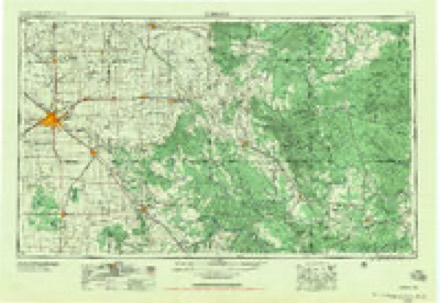
- 1954 USGS Lubbock quadrangle1:250000, 4 printings
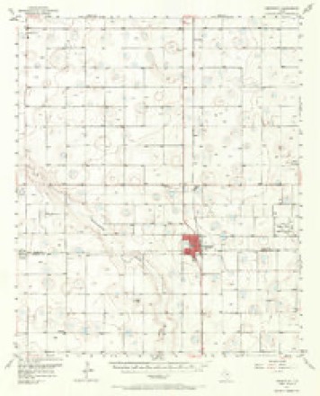
- 1957 USGS Abernathy quadrangle1:62500, 2 printings
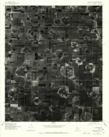
- 1976 USGS Abernathy NW quadrangle1:24000
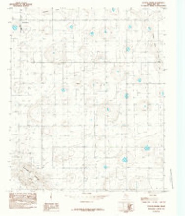
- 1985 USGS Cotton Center quadrangle1:24000
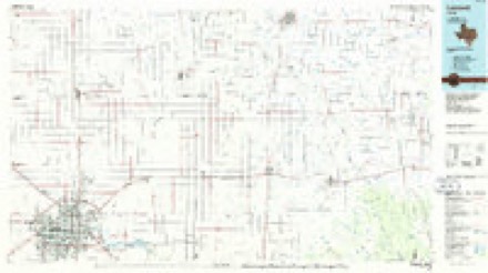
- 1986 USGS Lubbock quadrangle1:100000, 2 printings
Fires near this place
3 since 2006Regional context, not property-specific evidence. The federal wildfire occurrence database lists 3 fires within 5 miles of Cotton Center in 2006, burning about 12 acres in total. None started naturally. None was recorded as arson. Distance is straight-line from the map coordinates, so a fire counted here may appear on a neighbouring settlement's page as well.
| Reported cause | Fires |
|---|---|
| Missing data/not specified/undetermined | 2 |
| Equipment and vehicle use | 1 |
The most recent of them, most recent first, with the day each was reported and the service that recorded it.
| Date | Cause | Size | Reported by | Name on the report |
|---|---|---|---|---|
| 29 June 2006 | Equipment and vehicle use | 10 acres | Texas A & M Forest Service | not named |
| 26 January 2006 | Missing data/not specified/undetermined | 1.0 acres | Texas A & M Forest Service | not named |
| 25 January 2006 | Missing data/not specified/undetermined | 1.0 acres | Texas A & M Forest Service | not named |
Settlements close enough to share some of these fires:
Storms near this place
34 since 1993Regional context, not property-specific evidence. The National Weather Service names Cotton Center in 34 storm reports between 1993 and 2019: 24 hail, 5 thunderstorm wind, 3 tornado, 1 flash flood. No death or injury is recorded in these reports. Each account below is quoted exactly as the forecast office filed it, from the NOAA Storm Events Database, and each date opens the federal record of that event.
| When | Event | Place named | Harm | What the report says |
|---|---|---|---|---|
| May 2015 | Flood | Cotton Center | $100,000 | no account filed |
| June 2016 | Thunderstorm Wind | Cotton Center | $50,000 | Local broadcast media relayed a report of damage to the Cotton Center football field. The Cotton Center elementary school also lost a portion of the roof due to high winds. |
| April 2007 | Tornado (EF1) | Cotton Center | $35,000 | A farmstead was damaged by an apparent tornado that moved southeastward across portions of western Hale County. The tornado uprooted two large trees and destroyed a center pivot irrigation system. No structural damage or injuries were reported. The damage and reports from local residents corresponds to a strong low-level circulation in Doppler radar velocities. |
| May 2015 | Hail | Cotton Center | $30,000 | The same hailstorm from Hockley County continued northeast across Hale County with severe hail between quarter and golf ball size. Cars at the high school in Hale Center did suffer minor damage from mostly quarter size hail. Although damage likely occurred to area wheat crops in Hale County, no information was available. |
| May 1995 | Hail | Cotton Center | $5,000 | no account filed |
| May 1994 | Hail | Cotton Center | $5,000 | no account filed |
| June 2000 | Thunderstorm Wind | Cotton Center | $2,000 | Strong thunderstorm wind snapped power poles on Farm-to-Market Road 37. |
| April 2019 | Hail | Cotton Center | - | Severe hail ranged in size from quarters near Hale Center to golf ball size near Cotton Center. Damage was not known. |
| May 2019 | Tornado (EFU) | Cotton Center | - | Moving over mainly farm and ranch land, there were no damage indicators hit to provide an EF rating. The only indications of damage were an overturned center pivot irrigation system near a curve of Farm to Market Road 37, 2.5 miles WNW of Cotton Center. A cotton trailer and livestock feed bunk were also pulled across the road near this location. The tornado continued moving east passing one mile north of Cotton Center and no damage was found near Farm to Market Road 179 where the path crossed the road. The tornado dissipated one mile ENE of Cotton Center. Poor road conditions prevented a NWS storm survey to determine if any damage existed beyond this point. |
| May 2013 | Hail | Cotton Center | - | A citizen reported golf ball size hail near Cotton Center. |
| June 2012 | Hail | Cotton Center | - | The public reported penny size hail northwest of Cotton Center. No damage was reported. |
| July 2009 | Hail | Cotton Center | - | Storm spotters reported quarter size hail just east of Cotton Center. |
| May 2007 | Hail | Cotton Center | - | Skywarn spotters reported penny size hail from Farm to Market Road 179 south of Cotton Center to east of town. This hail was associated with a supercell thunderstorm that moved east across western and central Hale county. Additional reports indicated very large hail along the swath. |
| May 2007 | Hail | Cotton Center | - | Law enforcement officials reported baseball size hail east of Cotton Center on Farm to Market Road 37. No damage was reported. |
| May 2007 | Thunderstorm Wind | Cotton Center | - | The public estimated a thunderstorm wind gust up to 60 miles per hour in Cotton Center. No damage was reported. |
| May 2007 | Hail | Cotton Center | - | Nickel size hail was reported just east of Cotton Center on Farm to Market Road 37. |
| August 2007 | Hail | Cotton Center | - | A citizen reported penny size hail in Cotton Center. |
| October 2007 | Hail | Cotton Center | - | Newspaper articles described a swath of hail that damaged cotton crops roughly along Farm to Market Road 37 west of Cotton Center. This hail accompanied a severe storm that developed over eastern Lamb County and moved southeastward into western Hale County. |
| September 2007 | Tornado (EF0) | Cotton Center | - | At 16:45 CST the Federal Aviation Administration relayed a pilot report of a tornado just west of Cotton Center. The tornado had formed along an outflow boundary beneath a rapidly developing severe thunderstorm. The highly visible landspout-type tornado was observed by many officials and the general public from portions of at least three counties as it moved west-northwestward over farm land until it dissipated just south of Corry (extreme eastern Lamb County) at 16:55 CST. ||An eyewitness reported that the tornado briefly broke-up as it crossed Texas Farm to Market Road 37 near the Hale and Lamb County line, then reformed as it crossed into Lamb County. Although no structural damage occurred, farmers reported that the track of the tornado was visible through cotton and wheat fields. |
| September 2007 | Hail | Cotton Center | - | Local residents and newspaper articles reported that large hail up to the size of quarters resulted in localized crop damage west of Cotton Center. The hail reportedly accumulated a few inches deep on the ground. |
| September 2007 | Flash Flood | Cotton Center | - | A broadcast media storm chaser photographed rapidly flowing flood waters pouring from cotton fields west of Cotton Center. The flood waters covered portions of Texas Farm to Market Road 37 west of Cotton Center. No damage was reported. |
| August 2001 | Thunderstorm Wind | Cotton Center | - | A storm chaser measured 65 mph thunderstorm wind gusts. |
| June 2000 | Hail | Cotton Center | - | Dime to nickel size hail damaged or destroyed at least 500 acres of cotton. |
| October 2000 | Thunderstorm Wind | Cotton Center | - | Small, wind-driven hail destroyed about 100 acres of cotton. |
| May 1993 | Hail | Cotton Center | - | The public reported dime to nickel-size hail in southeastern Lamb and southwestern Hale Counties. The hail caused minor damage to cotton plants in the area. |
| March 1993 | Hail | Cotton Center | - | Nickel-size hail fell in Cotton Center, according to the public. No damage resulted. |
| June 2004 | Hail | Cotton Center | - | no account filed |
| May 2001 | Hail | Cotton Center | - | no account filed |
| August 2001 | Hail | Cotton Center | - | no account filed |
| October 2000 | Hail | Cotton Center | - | no account filed |
| October 1998 | Hail | Cotton Center | - | no account filed |
| June 1997 | Hail | Cotton Center | - | no account filed |
| May 1997 | Hail | Cotton Center | - | no account filed |
| June 1995 | Hail | Cotton Center | - | no account filed |
Nearest settlements
The eight closest, with where each one stands in the county. Distances are straight-line, computed from the Geographic Names Information System coordinates.
| Map | Place | Distance | Sheets |
|---|---|---|---|
| Mayfield | 7.9 miles | 7 | |
| Underwood | 7.9 miles | 10 | |
| Hale Center | 9.3 miles | 7 | |
| Hale City (historical) | 9.4 miles | 7 | |
| Six Point | 12.3 miles | 7 | |
| Halfway | 13.6 miles | 7 | |
| Happy Union | 15.8 miles | 7 | |
| Furguson | 16.0 miles | 7 |
Elsewhere
Matched on this settlement's Geographic Names Information System number rather than its name, so it cannot be a different place of the same name in another state.
| Wikipedia article on Cotton Center | An encyclopaedic summary. Its text is share-alike, so it is linked here rather than copied. |
| Wikidata item Q5175670 | The structured record the population and elevation above come from. Public domain (CC0). |
Provenance
This settlement is recorded in the Geographic Names Information System as feature 1355044. The sheet list is computed by point-in-boundary test against the United States Geological Survey's historical topographic inventory. Both are works of the United States government and carry no copyright under 17 U.S.C. 105.
Wildfire. Short, Karen C. 2022. Spatial wildfire occurrence data for the United States, 1992-2020 [FPA_FOD_20221014]. 6th Edition. Fort Collins, CO: Forest Service Research Data Archive. https://doi.org/10.2737/RDS-2013-0009.6 Collected with United States Government funding and usable without additional permissions or fees.
Storms. NOAA National Centers for Environmental Information, Storm Events Database https://www.ncei.noaa.gov/stormevents/ A work of the United States government, no copyright under 17 U.S.C. 105. Narratives are quoted verbatim from the National Weather Service report and are not edited or summarised.