 Block
BlockFrom the record
1 National Register listing published here.
Sources: the National Register database, National Park Service
27 topographic sheets cover 16 settlements here, and 1 property is on the National Register of Historic Places.
1 National Register listing published here.
Sources: the National Register database, National Park Service
Every property in this county listed on the National Register of Historic Places, with the year it was listed and the federal nomination document.
| Photograph | Property | Type | Listed | Reference |
|---|---|---|---|---|
 | Hutchinson County Courthouse | building | 2012 | 12000587 |
Drawn when these were printed as single large sheets: the town seen from the air, and the county divided into its farms with every owner named. Each opens the original at the Library of Congress.

Selected from the Digital Public Library of America's 1 image records catalogued for this county. Every one shown here carries a public-domain status or a licence that permits reuse on a site that carries advertising; non-commercial, share-alike and restricted images are excluded. The selection is spread across the county's towns (at most eight per town), so no single institution's bulk upload crowds out the rest. Each opens the holding library's record, and the complete set at the Digital Public Library of America is one click away.

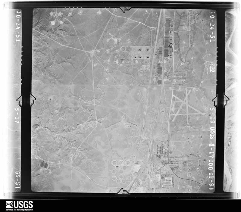
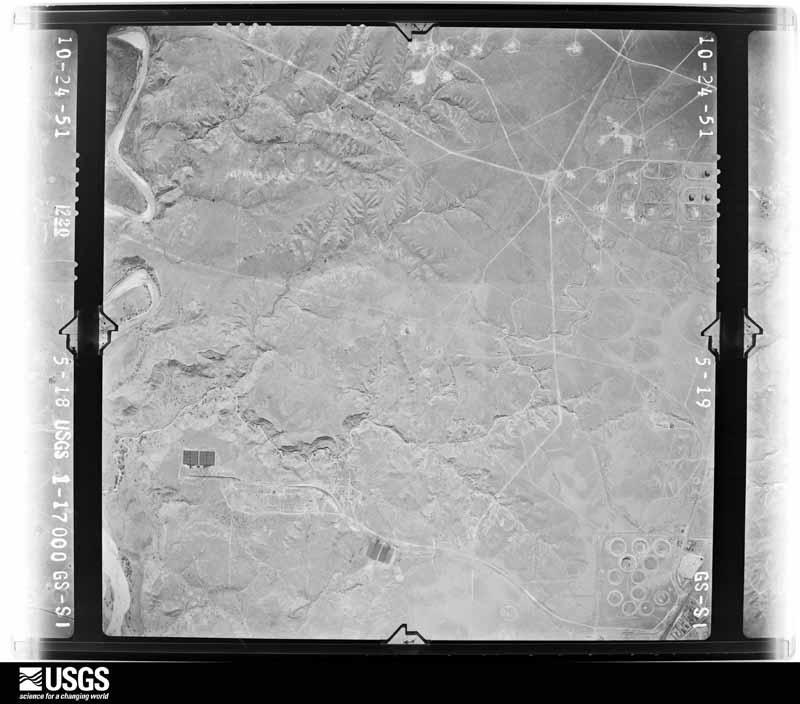
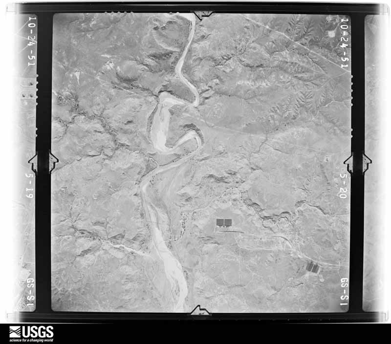
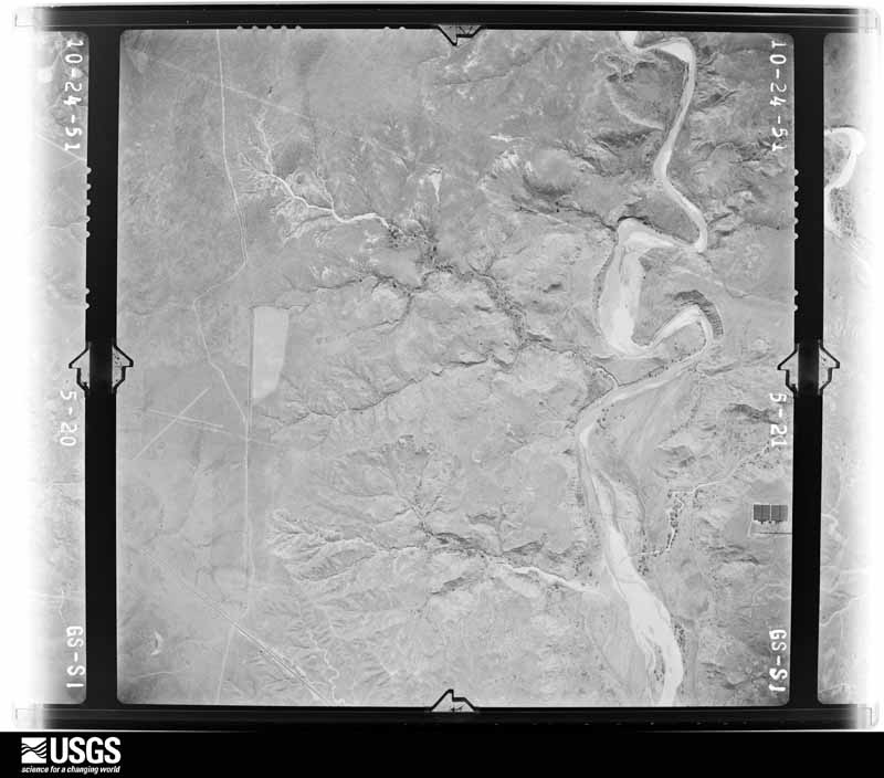
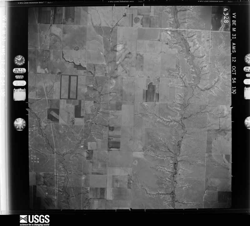
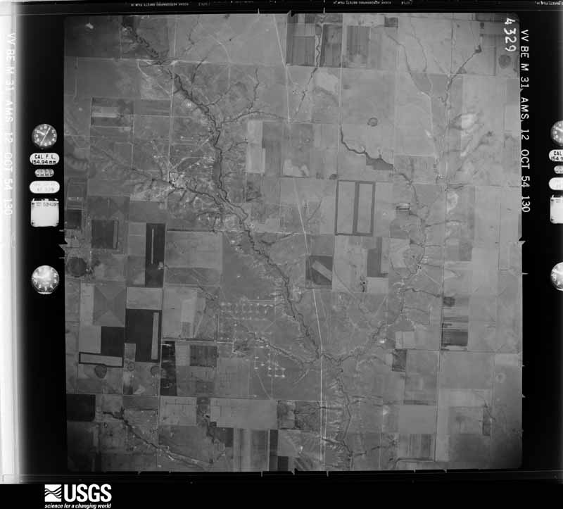
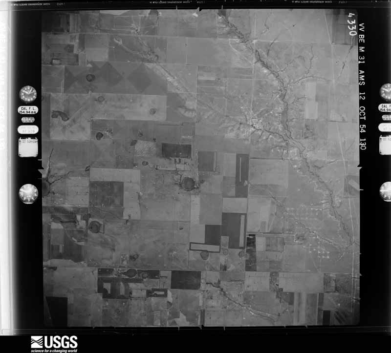
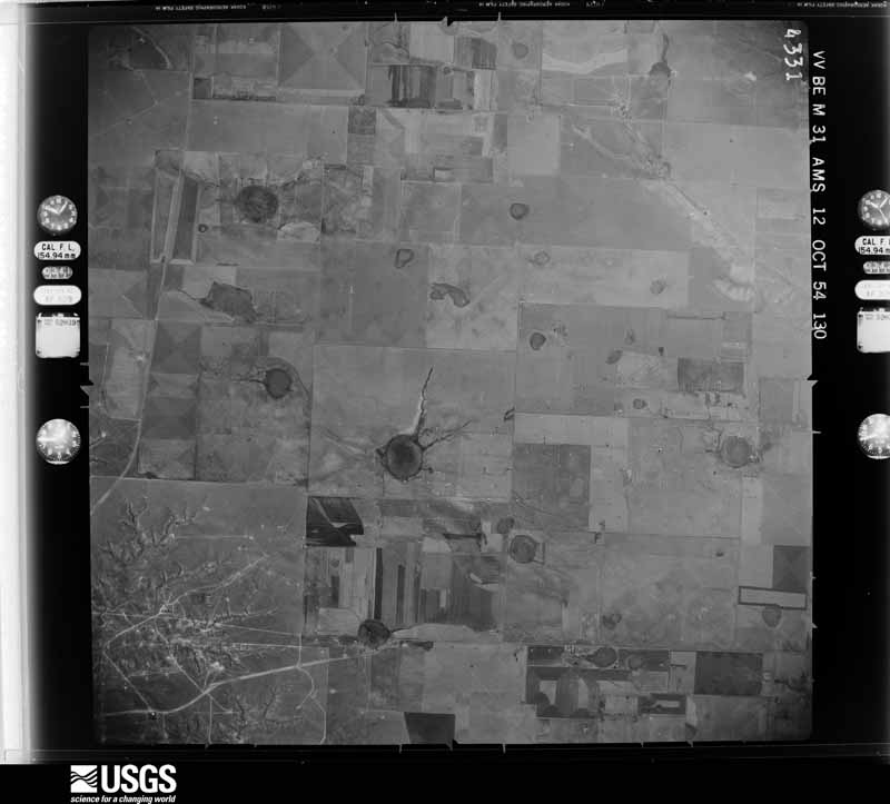
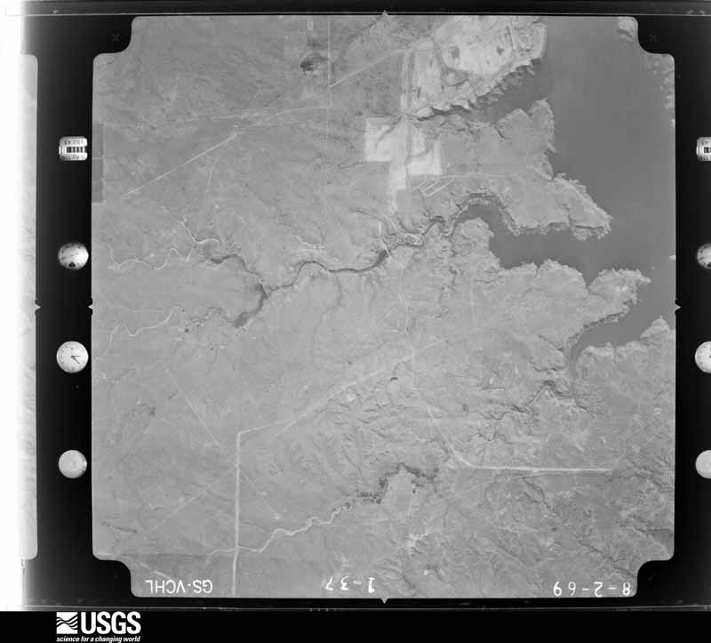
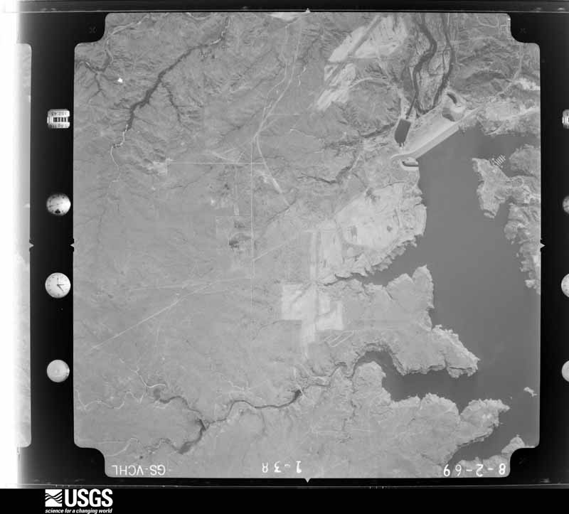
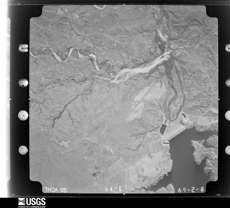
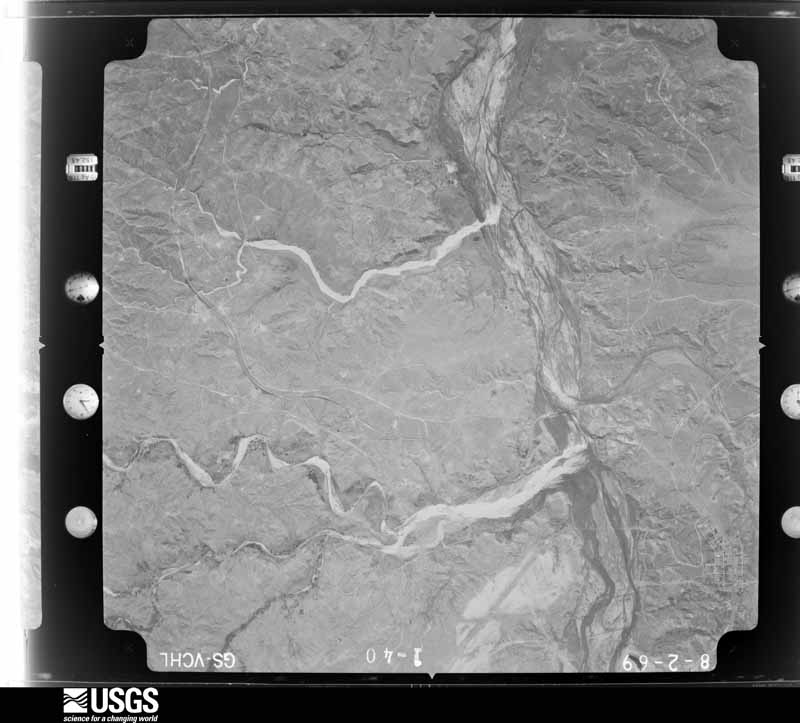
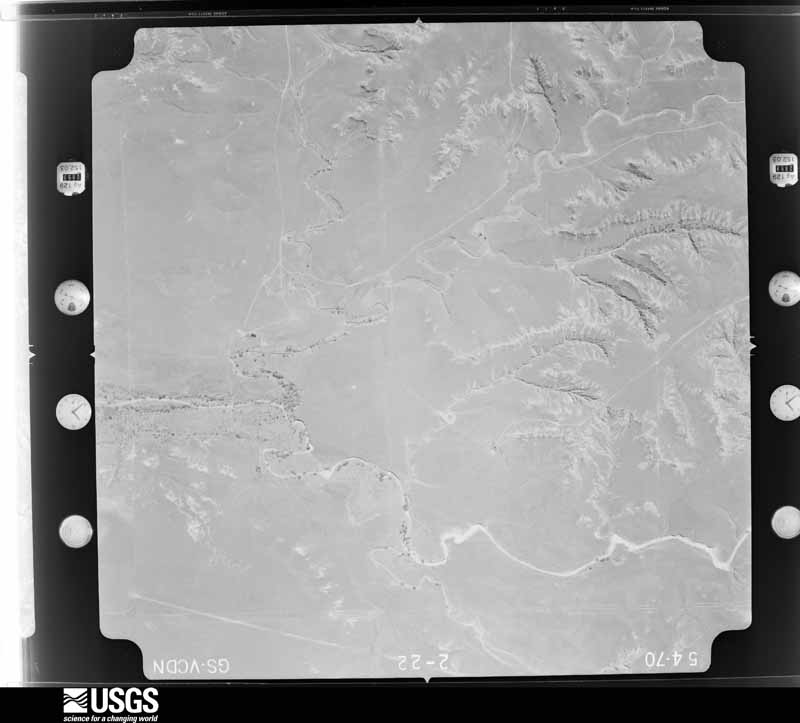
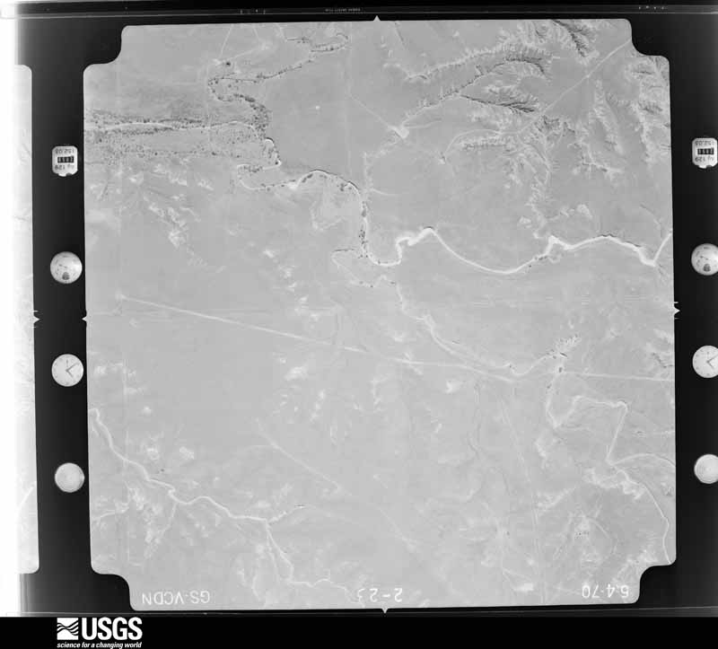
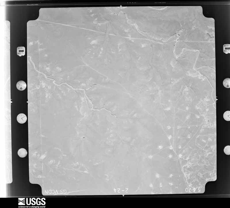
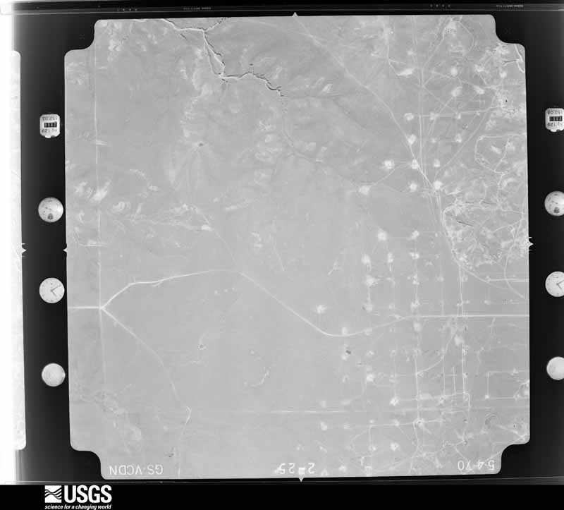
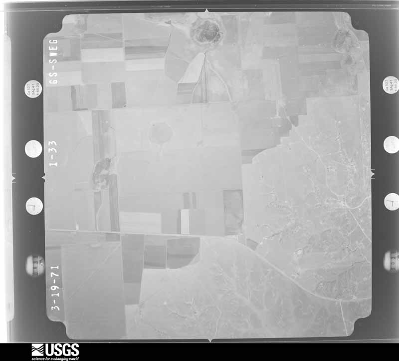
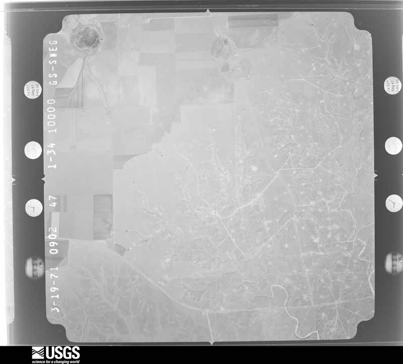
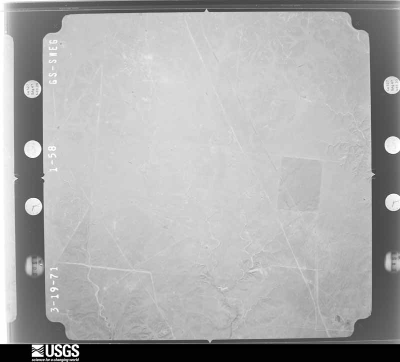
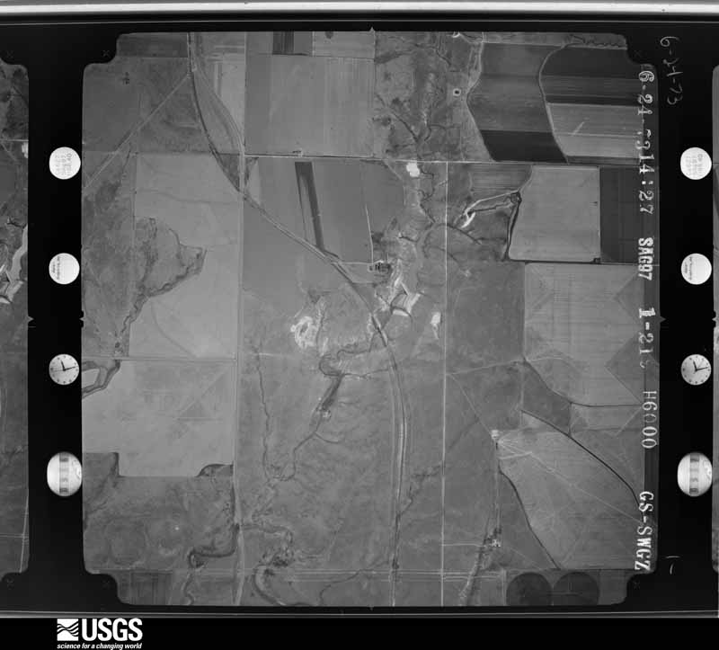
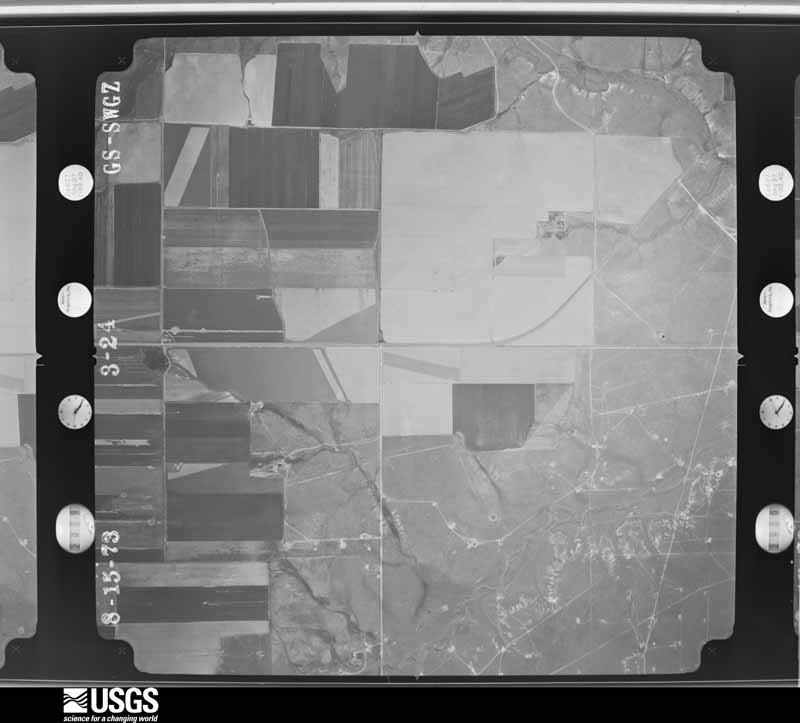
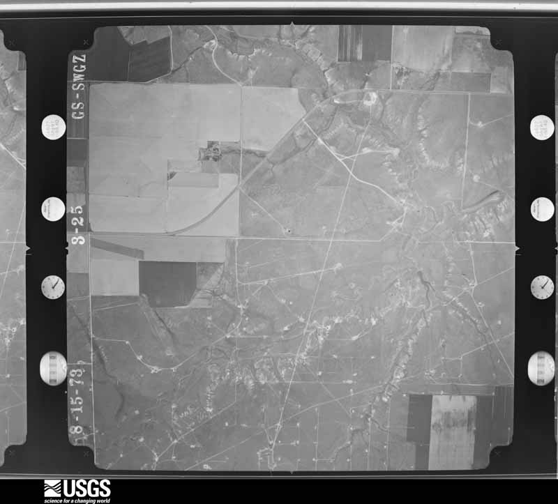
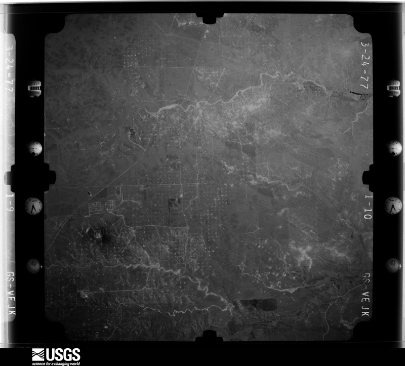
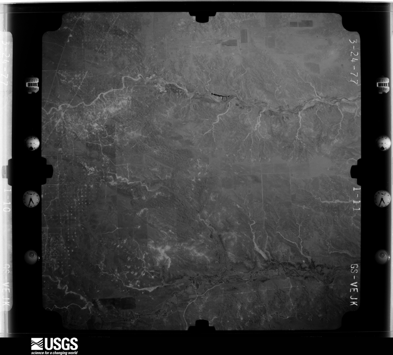
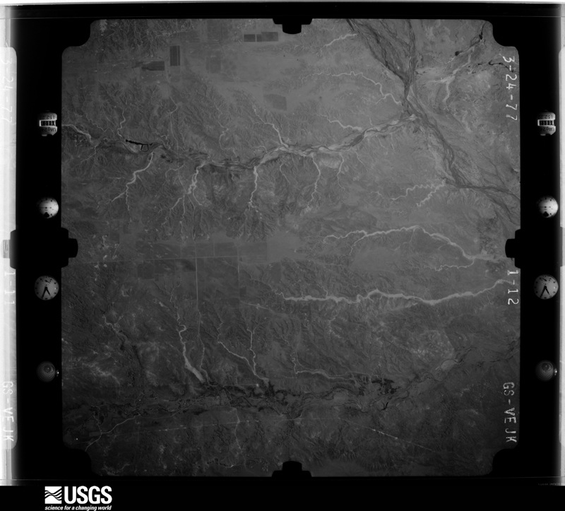
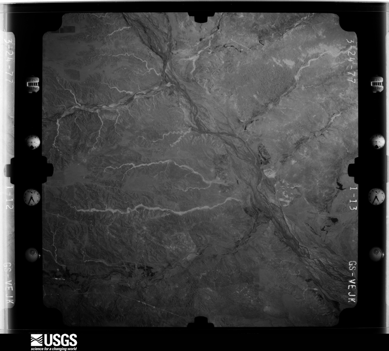
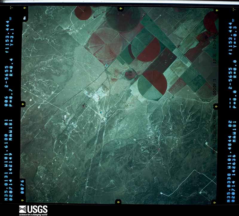
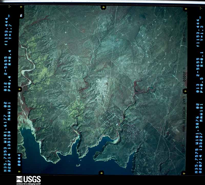
Flown by the U.S. Geological Survey between 1937 and 1989, the Aerial Photo Single Frames collection is the definitive mid-century view of the land: fields, roads and rivers as the camera saw them. The Survey holds 1,390 frames inside the rectangle that bounds this county; the 40 frames below were taken over the county itself, chosen across the decades of flights (at most four a year from that rectangle), so one flight cannot crowd out the rest. The full set is free to browse and download at EarthExplorer under the dataset Aerial Photo Single Frames.
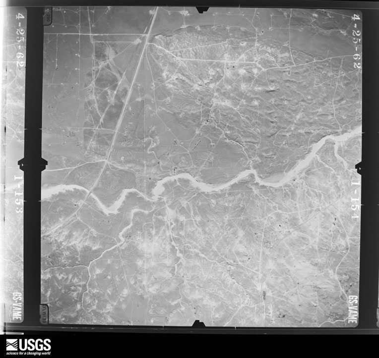
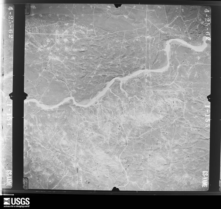
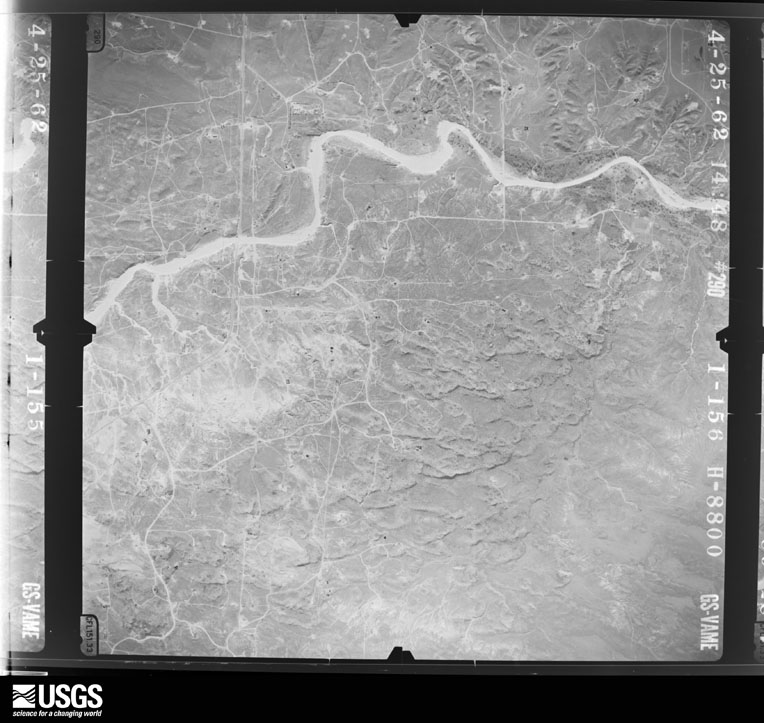
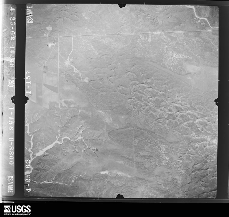






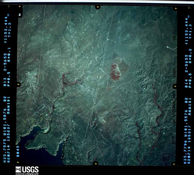
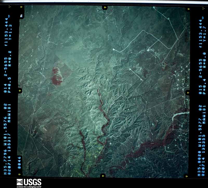
The thermometers that kept this county's weather, and the gages that measured the flow of its streams, as the federal records hold them. The extremes below are measured values from those records, not estimates.
Who lived here in 1950, one enumeration district at a time, as the Census Bureau described each district. Each row opens its official National Archives result, with Population Schedules and ED Maps available there.
Every wildfire the federal occurrence database records inside this county: 982 of them, burning about 587,309 acres. 62 started naturally and 38 were recorded as arson. Each settlement page carries the fires within five miles of it.
| Reported cause | Fires |
|---|---|
| Missing data/not specified/undetermined | 432 |
| Power generation/transmission/distribution | 133 |
| Equipment and vehicle use | 127 |
| Debris and open burning | 64 |
| Natural | 62 |
| Recreation and ceremony | 42 |
| Arson/incendiarism | 38 |
| Fireworks | 37 |
| Misuse of fire by a minor | 21 |
| Smoking | 13 |
| Other causes | 9 |
| Railroad operations and maintenance | 3 |
| Firearms and explosives use | 1 |
The five largest, by the area the report gives. One of them was set deliberately.
| Date | Cause | Size | Reported by | Name on the report |
|---|---|---|---|---|
| 12 March 2006 | Missing data/not specified/undetermined | 479,549 acres | Lake Meredith National Recreation Area | HWY 152 |
| 24 March 2016 | Missing data/not specified/undetermined | 44,686 acres | Amarillo Field Office | CRUTCH |
| 22 July 2017 | Natural | 8,300 acres | Lake Meredith National Recreation Area | BOWERS RANCH |
| 11 July 2020 | Natural | 6,510 acres | Texas A & M Forest Service | LIGHTNING WEST |
| 1 August 2011 | Natural | 3,200 acres | Lake Meredith National Recreation Area | TURKEY TRACK 2 |
| 5 January 2008 | Arson/incendiarism | 2,700 acres | Texas A & M Forest Service | ANTELOPE CREEK |
| 11 May 2014 | Misuse of fire by a minor | 2,202 acres | Lake Meredith National Recreation Area | DOUBLE DIAMOND |
| 26 November 2019 | Power generation/transmission/distribution | 2,100 acres | Texas A & M Forest Service | BRITTAIN RANCH |
Every settlement page carries the fires within five miles of it - see the settlement index below.
The NOAA Storm Events Database holds 913 reports for this county, causing 1 death, 20 injuries and about $34,046,870 in recorded property damage. Each settlement page carries the reports that name it.
| Kind of event | Reports |
|---|---|
| Hail | 567 |
| Thunderstorm Wind | 229 |
| Tornado | 79 |
| Flash Flood | 23 |
| Heavy Rain | 7 |
| Flood | 5 |
| Funnel Cloud | 3 |
The most serious of them, by death, then injury, then recorded damage. The accounts are quoted exactly as the forecast office filed them.
| When | Event | Place named | Harm | What the report says |
|---|---|---|---|---|
| June 1983 | Tornado (F1) | not stated | 1 killed, 1 hurt, $25,000 | no account filed |
| June 1992 | Tornado (F4) | not stated | 7 hurt, $25,000,000 | no account filed |
| June 1982 | Tornado (F2) | not stated | 6 hurt, $2,500,000 | no account filed |
| June 1958 | Tornado (F1) | not stated | 2 hurt, $25,000 | no account filed |
| May 1959 | Tornado | not stated | 1 hurt, $2,500 | no account filed |
| May 1959 | Tornado (F1) | not stated | 1 hurt, $2,500 | no account filed |
| March 1981 | Tornado (F0) | not stated | 1 hurt, $30 | no account filed |
| June 1988 | Thunderstorm Wind | not stated | 1 hurt | no account filed |
| June 1992 | Tornado (F2) | not stated | $2,500,000 | no account filed |
| July 2002 | Thunderstorm Wind | Borger | $800,000 | Numerous trees and powerlines were reported down in the city of Borger. Major structural damage reported to buildings. No injuries were reported. |
| June 2013 | Thunderstorm Wind | Hutchinson Co Arpt | $250,000 | Two thunderstorms merged northwest of Borger (Hutchinson County) around the 9 PM CST hour before collapsing upon it's own updraft. This produced an estimated 94 mph microburst in Borger (Hutchinson County) which bent traffic signs, metal power lines, and blew down tree limbs 2 miles north side of Borger (Hutchinson County). The microburst wind continued to move across the town producing widespread wind damage. |
| June 2013 | Thunderstorm Wind | Borger | $250,000 | Two thunderstorms merged northwest of Borger (Hutchinson County) around the 9 PM CST hour before collapsing upon it's own updraft. This produced an estimated 94 mph microburst in Borger (Hutchinson County) which blew the roof completely off of a build in town. This microburst also bent a metal flag pole to a 45 degree angle off of the vertical, and 3 utility poles in a 10 square block in northwest Borger. The microburst wind continued to move across the town producing widespread wind damage. |
| June 1992 | Tornado (F1) | not stated | $250,000 | no account filed |
| June 1983 | Tornado (F1) | not stated | $250,000 | no account filed |
| September 2004 | Flash Flood | Borger | $240,000 | Three to five homes in the towns of Borger and Bunavista had to be evacuated due to rapidly rising water with another four to six homes threatened by the flash flooding. The flash flooding also closed down several streets including Texas Highway 136. |
| May 1995 | Hail | Borger | $200,000 | no account filed |
| September 2006 | Flash Flood | Borger | $140,000 | Vehicles reported washed down the streets with flood damage in downtown Borger. Nine houses were reported flooded along with seventeen vehicles moved by the flood waters on Austin Street. The Wesleyan Church was also reported flooded on McGee Street with two feet of water. |
| April 2001 | Thunderstorm Wind | Fritch | $140,000 | One trailer home was reported destroyed...one trailer home was missing its roof...another trailer home was damaged...and two wood frame houses had severe damage. |
| August 2021 | Thunderstorm Wind | Fritch | $100,000 | Video and photos received over social media showed considerable damage to some older storage buildings and boats off of highway 136 on the southwest side of Fritch. Time of event was estimated based on radar and local mesonet. |
| June 2005 | Hail | Borger | $96,000 | Numerous windows and skylights broken along with many roofs damaged in the city of Borger. |
| April 2001 | Thunderstorm Wind | Stinnett | $70,000 | An eighteen wheeler was blown over on State Highway 152. |
| April 2001 | Thunderstorm Wind | Borger | $50,000 | Two large metal storage tanks were pulled out of the ground and tossed around and a motor home was overturned...along with two barns being destroyed. One half of a roof was also torn off of a house. Electric poles were snapped and down for two miles. |
| August 1999 | Thunderstorm Wind | Borger | $50,000 | A barn was blown onto Farm to Market Road 2171 and damage occurred in the Borger Industrial Park. |
| April 1995 | Hail | Sanford | $50,000 | no account filed |
| May 1995 | Hail | Stinnett | $50,000 | no account filed |
| September 1993 | Hail | Borger | $50,000 | no account filed |
| May 2010 | Tornado (EF2) | Pringle | $40,000 | The tornado touched down three miles south southwest of Pringle or six miles northwest of Stinnett at 1844 CST. The tornado was on the ground for about five miles with a maximum path width of three hundred yards. The tornado moved to the north dissipating at 1900 CST three miles northwest of Pringle. The National Weather Service survey team found significant damage to a farm located on County Road J between County Road 8 and County Road 9. A large portion of the roof was removed from the residence with considerable damage to several small sheds in the vicinity. Numerous trees were stripped with many broken large branches. A pickup truck behind the residence was flipped upside down with the cab smashed. Several power poles were snapped along County Road J just to the east of the residence with additional damage sustained to a few irrigation pivots. A storage bin and large fuel tank were found up to fifty yards to the east northeast of their original locations. One resident was home at the time but no injuries were reported. |
| April 2001 | Tornado (F1) | Fritch | $40,000 | An official storm damage survey was made on the estimated tornado path length and width. The tornado touched down in the Antelope Creek area approximately one mile south of State Highway 136. This tornado originally touched down in Carson county and then moved into Hutchinson county. |
| September 2009 | Flood | Borger | $39,000 | Nearly two inches of rain fell at the Borger ASOS station located two miles north of Borger Texas between 1630 CST and 1800 CST. Local officials closed the intersection of Farm to Market Road 1551 and Texas State Highway 136 due to flooding. The accident occurred at about 1730 CST on Texas State Highway 136 north of Borger. One vehicle hydroplaned and collided with the other vehicle resulting in the deaths of two people. |
| August 2011 | Thunderstorm Wind | Borger | $35,000 | The Hutchinson County Emergency Managers Office reported that several trees and power lines were blown by the thunderstorm wind gust. Also, a metal carport was blown over. There were no reports of injuries or fatalities. |
| June 2004 | Thunderstorm Wind | Stinnett | $35,000 | Power lines and power poles blown down. Also...high winds caused damage to roofs. |
| May 2002 | Tornado (F1) | Borger | $35,000 | A damage assessment was made on this tornado. A mobile home was completely destroyed and a pickup truck was heavily damaged. Fences and power poles were damaged within a radius of about fifty yards from the home site. Damage to trees was confined to those near the home site. |
| June 2002 | Thunderstorm Wind | Stinnett | $35,000 | Numerous trees and powerlines were reported down. Also...irrigation equipment reported damaged by the high winds. |
| August 2013 | Thunderstorm Wind | Fritch | $30,000 | A supercell thunderstorm moved southward across the Texas Panhandle during the evening hours of the 14th. The Hutchinson County Emergency Manager reported a thunderstorm gust damaged carports and weak structures in the Lake Meredith area (Hutchinson County). The supercell thunderstorm continued moving southward after producing this gust. |
| June 2005 | Hail | Borger | $29,000 | Report of broken windows and skylights along with roof damage. |
| June 2005 | Hail | Borger | $29,000 | Several homes with broken windows and skylights along with some roof damage. |
| May 2010 | Tornado (EF1) | Pringle | $28,000 | The tornado touched down about three miles south southwest of Pringle at 0056 CST. The National Weather Service survey team found a metal barn completely destroyed with the sturdy steel frame found forty feet north northeast of its original location. Several large tractors suffered significant damage with the cab windows blown out. One tractor was moved a few feet to the north. The tornado was on the ground for less than one half mile and dissipated at 0057 CST with a maximum path width of one hundred yards. No injuries were reported. |
| June 2025 | Tornado (EF1) | Pringle | $25,000 | This tornado developed south of W 13th Avenue to the southeast of Spearman, producing its first signs of damage once it crossed CR Y just east of CR 27. EF-1 damage occurred in the area including two small pinyon trees being uprooted with others having branches snapped, as well as metal barns having lost several side and|roofing panels. The tornado continued tracking to the south-southeast, pulling roofing and siding off multiple metal barns near CR AA and CR 28. The strongest damage occurred when it crossed CR 28 to the southeast, snapping several wooden power|poles. This is where the tornado achieved peak intensity and earned the EF-2 rating. In the later stages of its life, the tornado flipped single sections of irrigation pivots just north of FM 281, and again as it crossed into far northeast Hutchinson county before eventually lifting. Along the western edge of the track, there were several instances of damage due to strong winds associated with the rear flank downdraft of the supercell. This included snapped wooden power lines and flipped irrigation pivots. The maximum estimated winds of the tornado was 115mph, which occurred in Hansford County. Winds were around 70mph in Hutchinson County. The max width of the tornado was 150 yards also in Hansford County. Total track length was around 9.5 miles. |
| September 2023 | Thunderstorm Wind | Fritch | $25,000 | An overturned RV was reported by the emergency manager near the intersection of Fritch Fortress Rd and Amarillo Rd. There was also damage to what appeared to be a house currently being constructed. |
| April 2012 | Flash Flood | Fritch | $25,000 | A trained spotter reported that Texas State Highway 136 in the town of Fritch, Texas was closed due flowing water. The trained spotter also reported that there was two feet of water at the intersection of Texas State Highway 136 and Canadian Drive. There were vehicles which were stalled in the street. The side streets were also reported to have water flowing from curb to curb. There were no reports of injuries. |
| June 2004 | Thunderstorm Wind | Borger | $25,000 | Roofs were damaged by the high winds. |
| May 2002 | Hail | Borger | $25,000 | The large hail damaged several vehicles. |
| June 1989 | Tornado (F1) | not stated | $25,000 | no account filed |
| May 1965 | Tornado (F2) | not stated | $25,000 | no account filed |
| July 1959 | Tornado (F1) | not stated | $25,000 | no account filed |
| May 1951 | Tornado (F1) | not stated | $25,000 | no account filed |
| June 2007 | Thunderstorm Wind | Fritch | $24,000 | The National Park Service at Lake Meredith reported a boat dock destroyed by thunderstorm winds. No injuries were reported. |
| June 2024 | Thunderstorm Wind | Stinnett | $20,000 | Photos were submitted to the weather service of downed electric lines resulting in additional damage to paneling on a house. Small trees were also blown over. |
| April 2001 | Thunderstorm Wind | Stinnett | $20,000 | Scotts Acres in Stinnett was hit hard as the high winds turned over a mobile home and a roof was damaged. |
| May 1995 | Hail | Stinnett | $20,000 | no account filed |
| June 2005 | Hail | Borger | $16,000 | One home reported to have broken windows and tree limbs which were three inches in diameter were broken. |
| July 2002 | Thunderstorm Wind | Stinnett | $15,000 | Powerlines were reported down. |
| July 2002 | Thunderstorm Wind | Stinnett | $15,000 | A shed and trees were reported blown down. |
| August 2002 | Thunderstorm Wind | Borger | $15,000 | The high winds damaged tents near the Borger Community Activity Center. |
| May 1998 | Thunderstorm Wind | Fritch | $15,000 | Strong winds blew roof off a building and several campers were blown over. |
| April 1997 | Thunderstorm Wind | Hutchison Co Arpt | $15,000 | Damage to aircraft. |
| May 1995 | Hail | Borger | $15,000 | no account filed |
| April 2025 | Hail | Pringle | $10,000 | A supercell thunderstorm produced a swath of hail across portions northern Hutchinson County to the northeast of Pringle. Initially hail of quarter size fell just outside of Pringle but the hail increased in size as the supercell continued to move to the north and east. Measured hail increased to billiard ball and tennis ball size with the maximum observed hail size being three inches in diameter, or around the size of a large apple. Some of this hail was found by spotters after the storm had passed so there may have been some additional melting that occurred. |
| July 2023 | Thunderstorm Wind | Fritch | $10,000 | A report was sent in by emergency management with pictures of large trees limbs snapped, large signs blown over, and metal shingles ripped off the roof of a house in the town of Fritch. |
| August 2013 | Hail | Sanford | $10,000 | A supercell thunderstorm moved southward across the Texas Panhandle during the evening hours of the 14th. The Hutchinson County Emergency Manager reported golf ball size hail (1.75 inches) 2 miles east-southeast of Sanford (Hutchinson County). This hail damaged several vehicle windshields. The supercell thunderstorm continued moving southward after producing this hail. |
The Survey's mineral resources record lists 6 workings inside this county. 5 still produce and 1 is closed or unrecorded. Each settlement page carries the workings within five miles of it.
| Commodity | Workings |
|---|---|
| Sand and Gravel, Construction | 5 |
| Sulfur | 1 |
The least common of them first, because a county's hundredth gravel pit says nothing its first ten did not.
| Where | Site | Commodity | Status | Recorded |
|---|---|---|---|---|
| Borger Sulfur Plant | Sulfur | Producer | ||
| Baker Pit | Sand and Gravel, Construction | Producer | ||
| Borger Pit & Plant | Sand and Gravel, Construction | Producer | ||
| Dees and Parker | Sand and Gravel, Construction | Unknown | ||
| Killough Pit | Sand and Gravel, Construction | Producer | ||
| Spring Creek Pit & Plant | Sand and Gravel, Construction | Producer |
Named settlements recorded in the Geographic Names Information System, each with the topographic sheets covering it. Villages, hamlets and abandoned places alike. Each is shown with the nearest named watercourse or landform and the survey quadrangle it falls on.
Borger census division · 79007 · On Cottonwood Creek · Borger quadrangle
8 sheets, 1953 to 1986
Stinnett census division · 79083 · On Camp Creek · Sanford quadrangle
9 sheets, 1939 to 1986