 Block
BlockFrom the record
9 National Register listings published here.
Sources: the National Register database, National Park Service
43 topographic sheets cover 19 settlements here, and 9 properties are on the National Register of Historic Places.
9 National Register listings published here.
Sources: the National Register database, National Park Service
Every property in this county listed on the National Register of Historic Places, with the year it was listed and the federal nomination document.
| Photograph | Property | Type | Listed | Reference |
|---|---|---|---|---|
 | Castroville Historic District | district | 1970 | 70000758 |
 | D'Hanis Historic District | district | 1976 | 76002051 |
| Dan's Meat Market and Saloon | building | 2024 | 100010210 | |
 | Devine Opera House | building | 1975 | 75001999 |
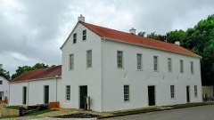 | Landmark Inn Complex | building | 1972 | 72001368 |
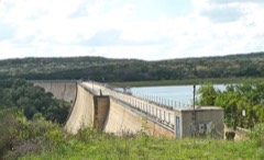 | Medina Dam | structure | 1976 | 76002050 |
| Rainbow Theater | building | 2024 | 100011087 | |
| Saathoff House | building | 1982 | 82004515 | |
| de Montel, Charles, House | building | 1980 | 80004142 |
Drawn when these were printed as single large sheets: the town seen from the air, and the county divided into its farms with every owner named. Each opens the original at the Library of Congress.

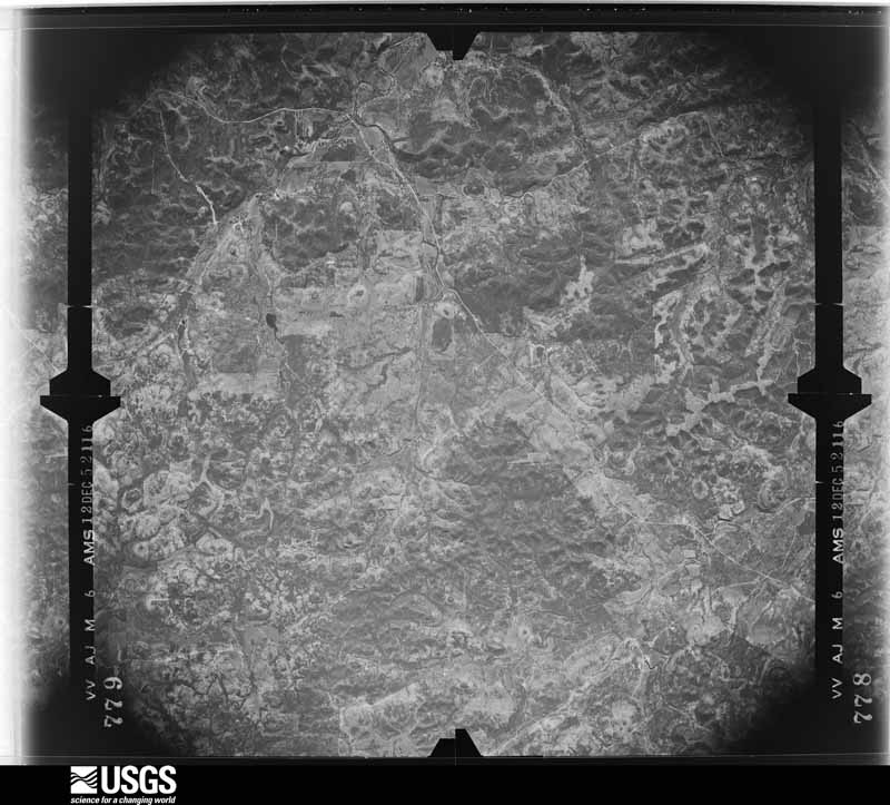
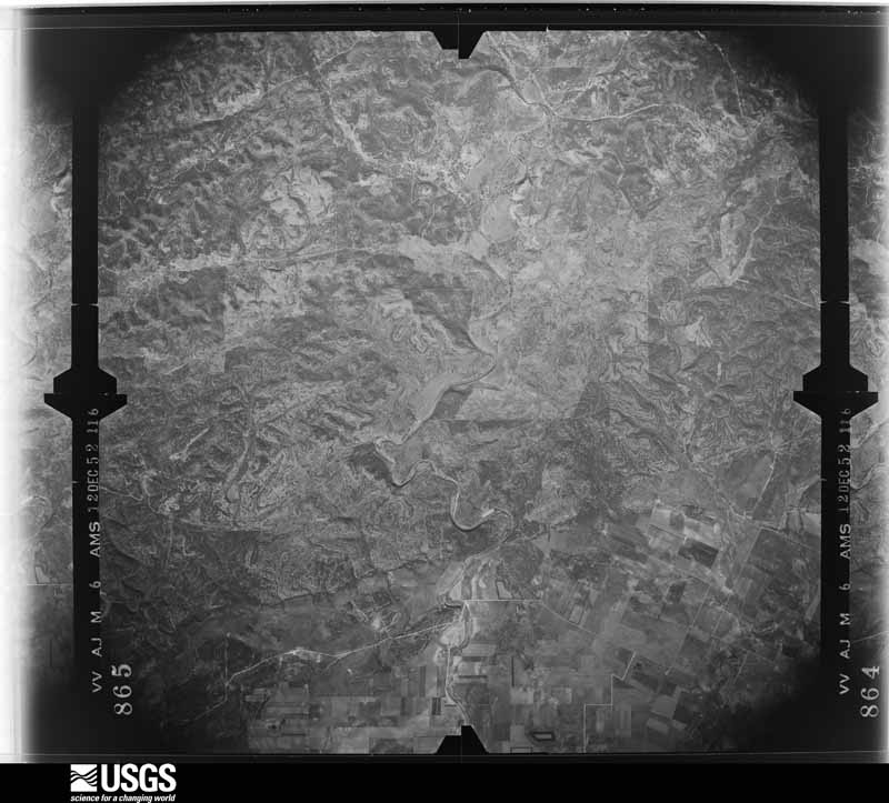
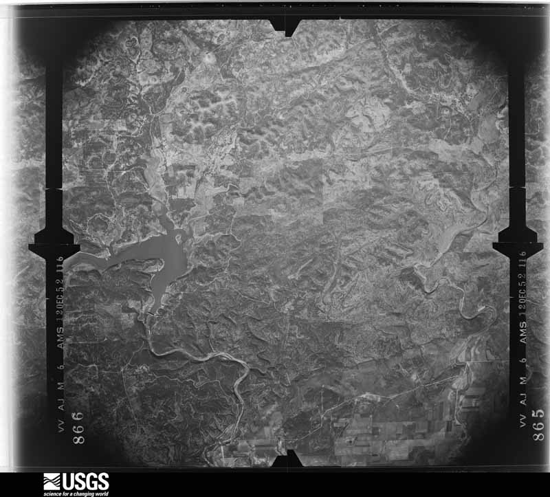
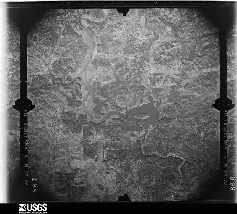
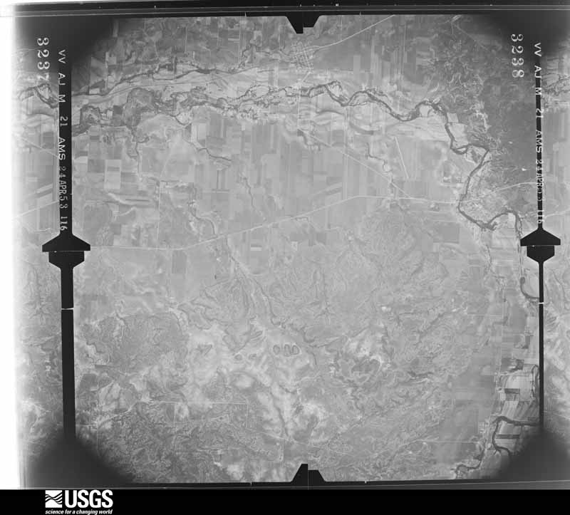
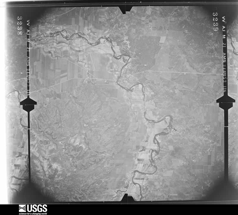
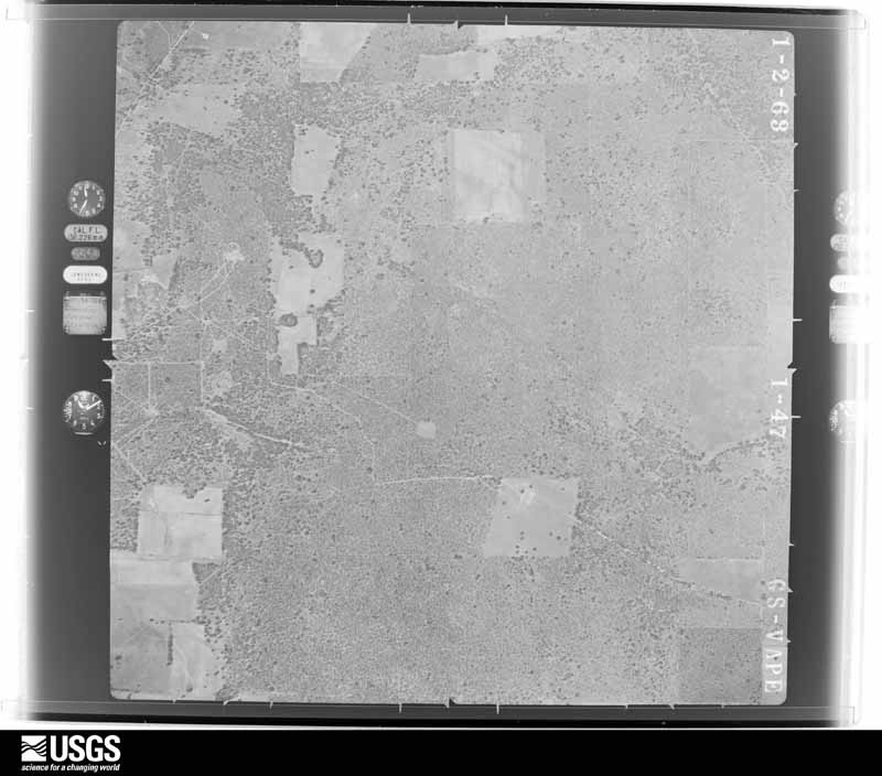
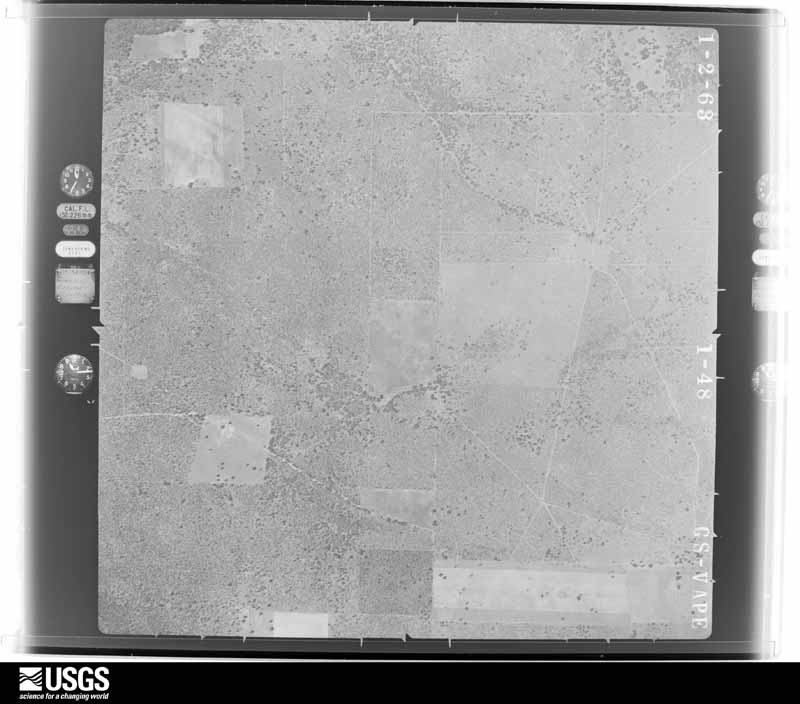
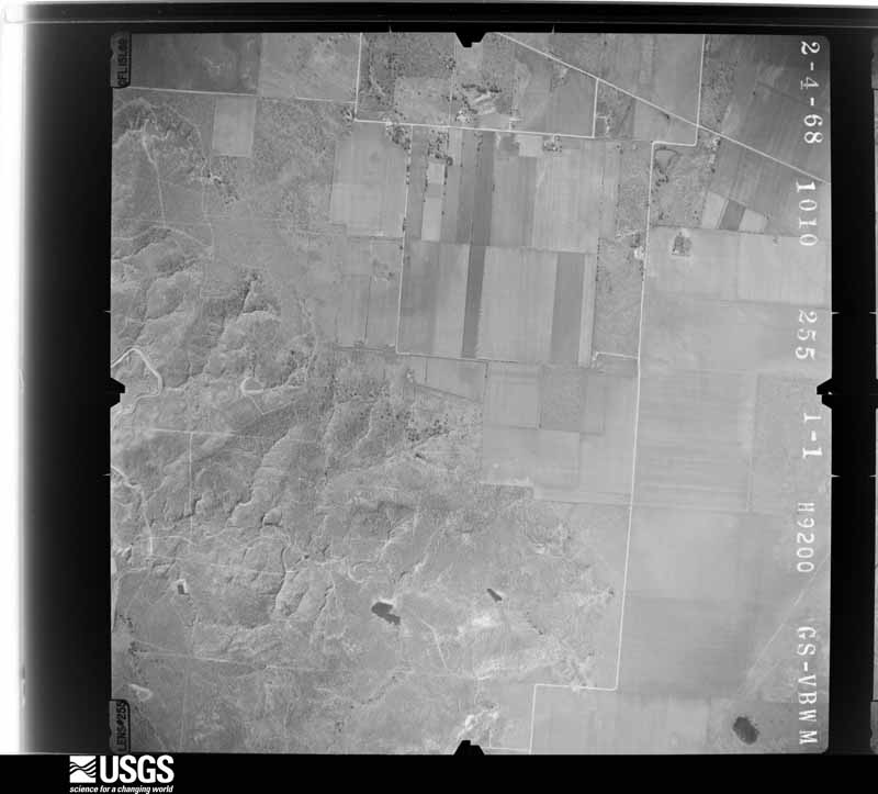
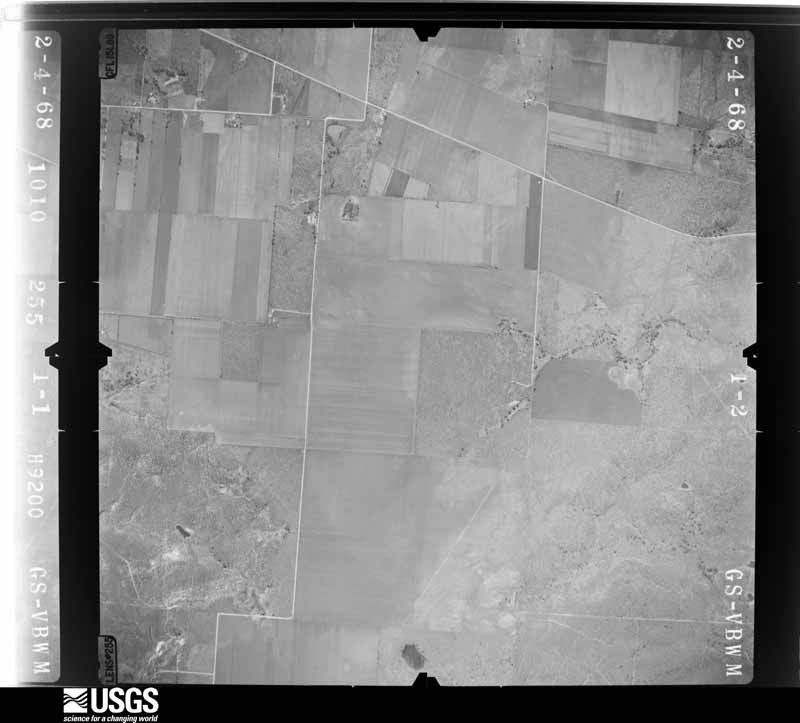
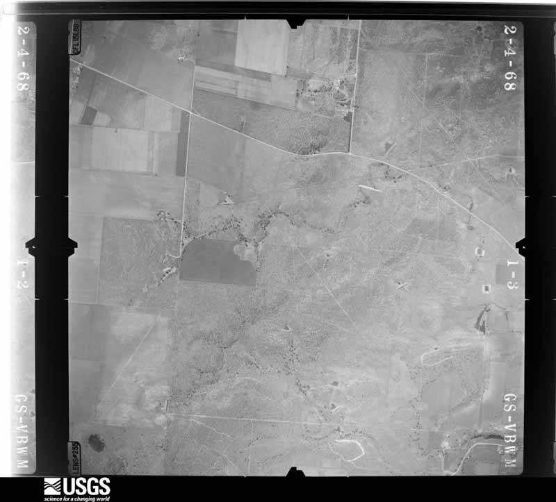
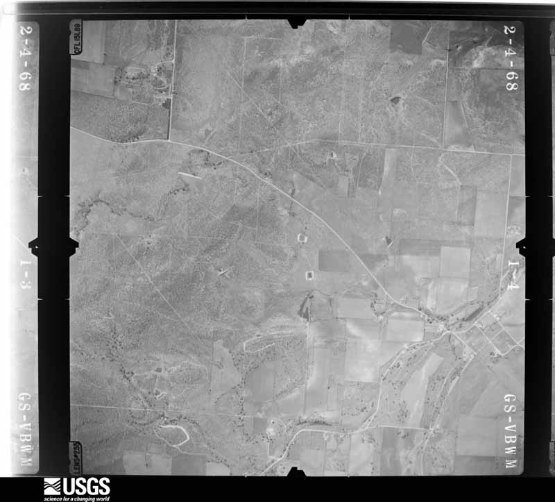
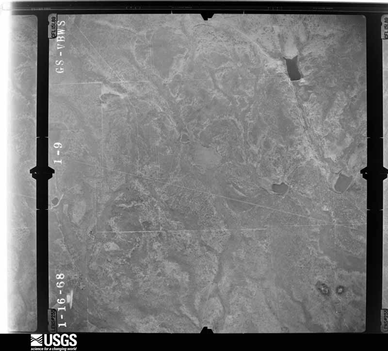
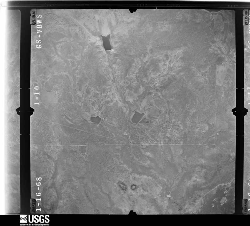
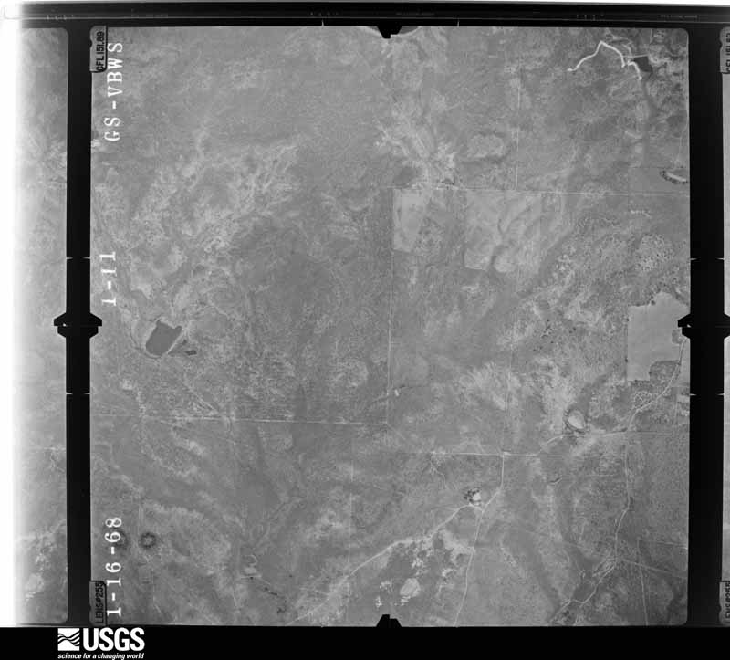
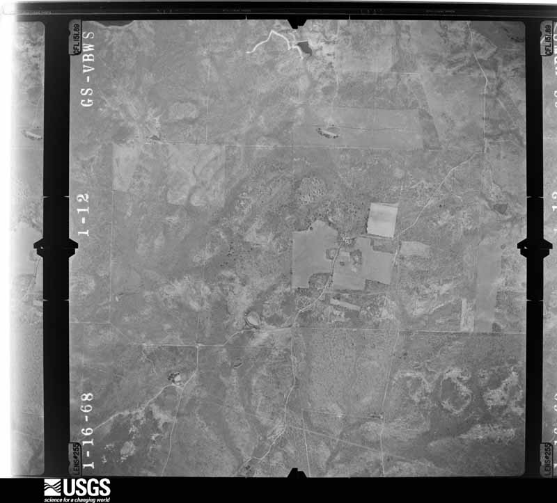
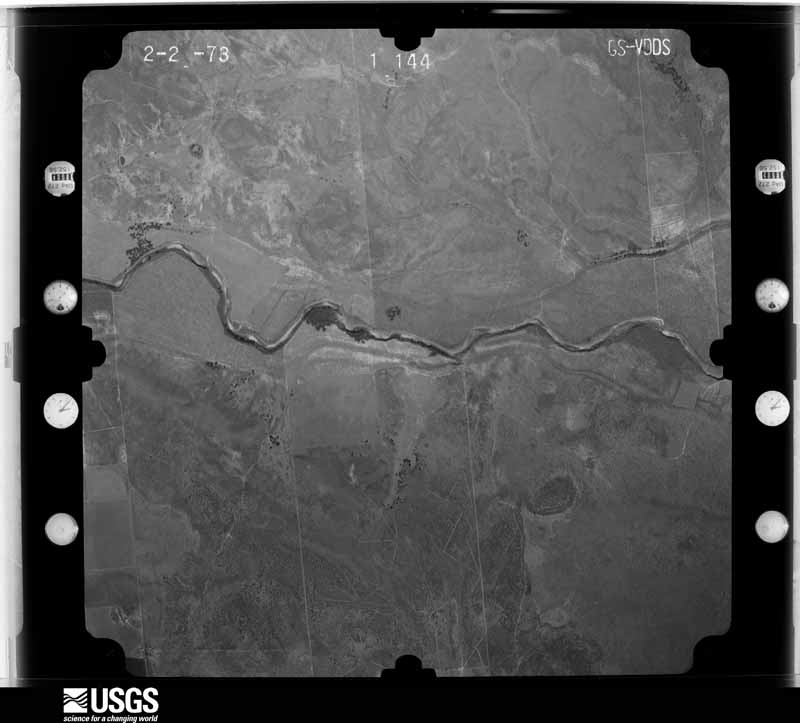
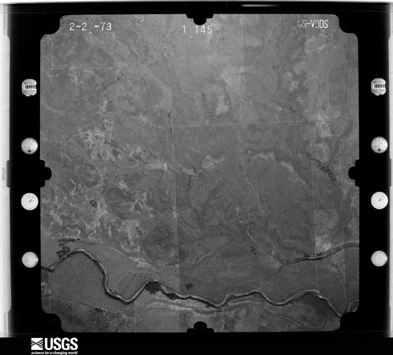
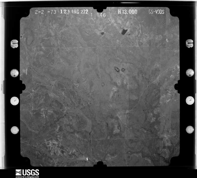
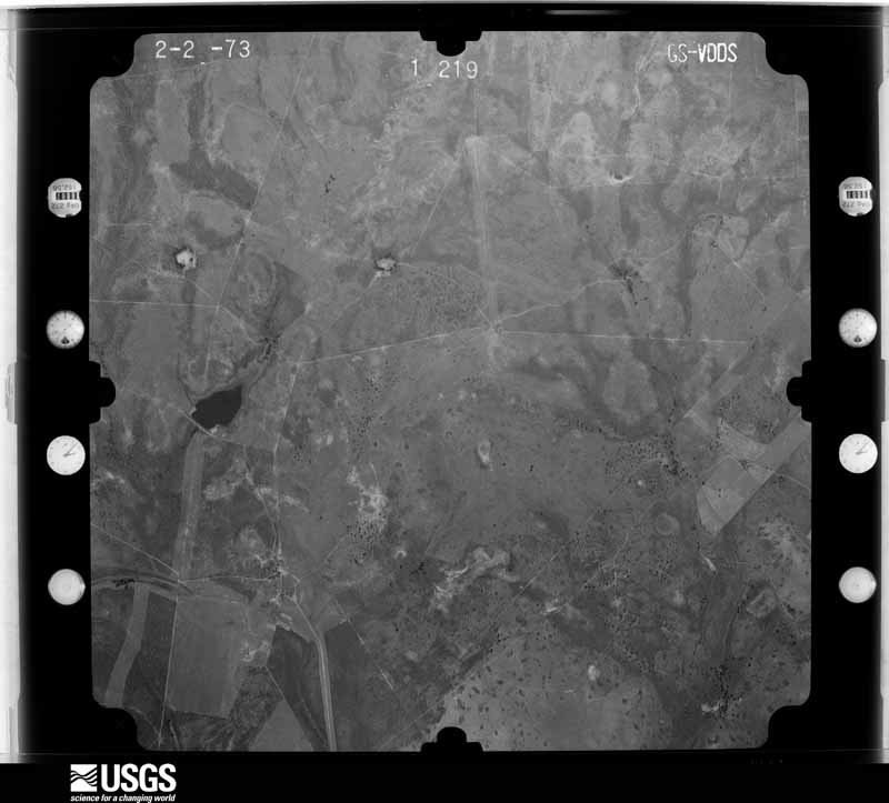
Flown by the U.S. Geological Survey between 1937 and 1989, the Aerial Photo Single Frames collection is the definitive mid-century view of the land: fields, roads and rivers as the camera saw them. The Survey holds 1,069 frames inside the rectangle that bounds this county; the 24 frames below were taken over the county itself, chosen across the decades of flights (at most four a year from that rectangle), so one flight cannot crowd out the rest. The full set is free to browse and download at EarthExplorer under the dataset Aerial Photo Single Frames.
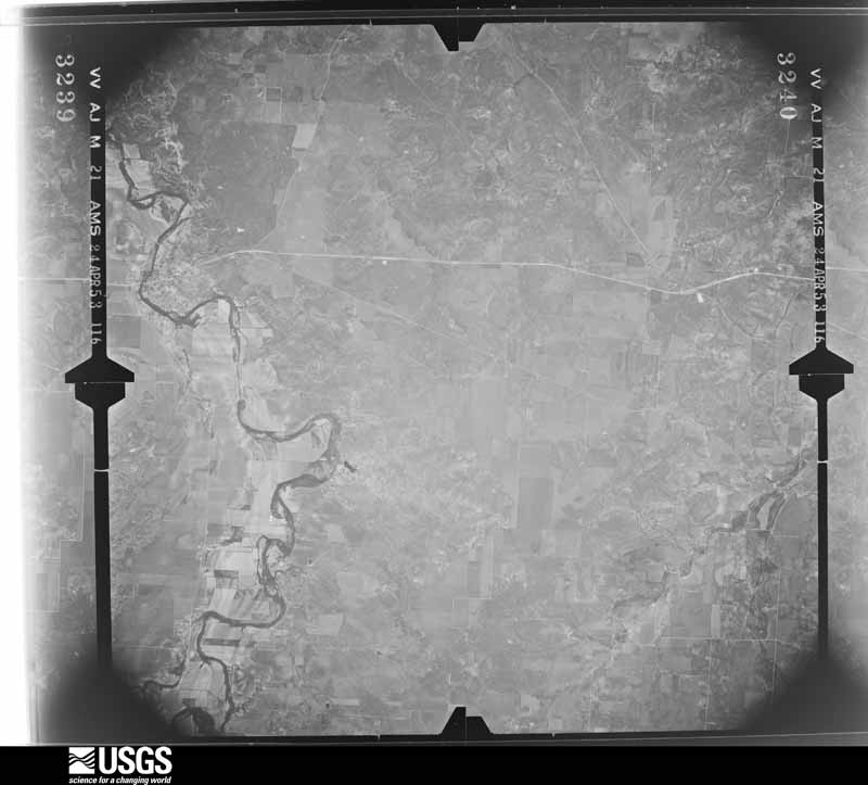
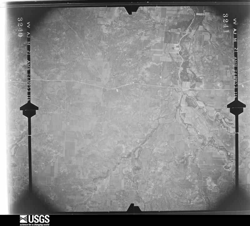
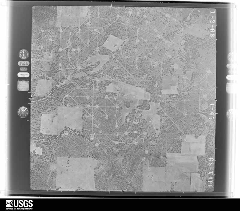
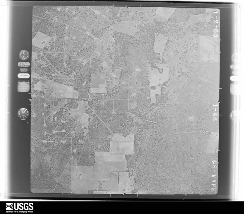
The thermometers that kept this county's weather, and the gages that measured the flow of its streams, as the federal records hold them. The extremes below are measured values from those records, not estimates.
Who lived here in 1950, one enumeration district at a time, as the Census Bureau described each district. Each row opens its official National Archives result, with Population Schedules and ED Maps available there.
Every wildfire the federal occurrence database records inside this county: 713 of them, burning about 19,818 acres. 5 started naturally and 10 were recorded as arson. Each settlement page carries the fires within five miles of it.
| Reported cause | Fires |
|---|---|
| Missing data/not specified/undetermined | 318 |
| Debris and open burning | 254 |
| Equipment and vehicle use | 85 |
| Power generation/transmission/distribution | 12 |
| Railroad operations and maintenance | 11 |
| Smoking | 11 |
| Arson/incendiarism | 10 |
| Natural | 5 |
| Misuse of fire by a minor | 4 |
| Recreation and ceremony | 3 |
The five largest, by the area the report gives. None of them was recorded as arson.
| Date | Cause | Size | Reported by | Name on the report |
|---|---|---|---|---|
| 8 April 2006 | Debris and open burning | 3,300 acres | Texas A & M Forest Service | CVFD NUMBER 70 |
| 31 January 2008 | Equipment and vehicle use | 1,800 acres | Texas A & M Forest Service | not named |
| 16 June 2006 | Missing data/not specified/undetermined | 900 acres | Texas A & M Forest Service | not named |
| 25 January 2011 | Debris and open burning | 700 acres | Texas A & M Forest Service | WILDLAND FIRE |
| 1 February 2008 | Missing data/not specified/undetermined | 700 acres | Texas A & M Forest Service | not named |
| 7 April 2006 | Missing data/not specified/undetermined | 600 acres | Texas A & M Forest Service | not named |
| 22 July 2008 | Equipment and vehicle use | 600 acres | Texas A & M Forest Service | not named |
| 1 February 2008 | Missing data/not specified/undetermined | 600 acres | Texas A & M Forest Service | not named |
Every settlement page carries the fires within five miles of it - see the settlement index below.
The NOAA Storm Events Database holds 374 reports for this county, causing 6 deaths, 104 injuries and about $67,147,500 in recorded property damage. Each settlement page carries the reports that name it.
| Kind of event | Reports |
|---|---|
| Hail | 145 |
| Thunderstorm Wind | 101 |
| Flash Flood | 98 |
| Tornado | 27 |
| Flood | 3 |
The most serious of them, by death, then injury, then recorded damage. The accounts are quoted exactly as the forecast office filed them.
| When | Event | Place named | Harm | What the report says |
|---|---|---|---|---|
| April 1975 | Tornado (F3) | not stated | 3 killed, 5 hurt | no account filed |
| June 1997 | Flash Flood | Countywide | 1 killed, 50 hurt, $13,000,000 | no account filed |
| November 2024 | Flash Flood | Mico | 1 killed | Thunderstorms produced heavy rain that led to flash flooding. Medina County 911 Dispatch received a call from an individual who was trapped in their vehicle that had been swept off Park Road 37 in high water at Mescal Creek. On the afternoon of the 5th, the vehicle was located about one mile downstream and the body of the driver 3-4 miles downstream just south of the Park Rd 37/FM 1283 intersection in Bandera County. The driver was a 20 year old male. |
| May 2015 | Flash Flood | (Hdo)Hondo Muni Arpt | 1 killed | Thunderstorms produced heavy rain that caused flash flooding with water rescues in D'Hanis and Yancy. There were also a number of roads closed. An 18 year old girl died when her vehicle was swept away on FM 2200 near Devine. She was returning from her prom and was within two miles of her home. |
| October 2001 | Tornado (F2) | Hondo | 25 hurt, $20,000,000 | The tornado was spotted as it touched down near 940 pm CST just northwest of the Hondo airport. It grew to nearly 500 yards in width and moved toward the southeast for 1.2 miles across the airport and over the National Guard Armory before dissipating near the center of town. Although much of the damage was F0 and F1 on the Fujita Scale, the tornado was rated F2 because of the level of damage from the airport to the armory. During this time it destroyed a large hangar, partially destroyed the roof and walls of the concrete Armory and moved numerous mobile homes off their pads. One mobile home clearly showed the nature of damage from a tornado. The center of the mobile home was completely destroyed, along with a tree in front of it, while much less damage was indicted on both ends of the mobile home as well as vegetation near the ends. The storm also knocked out power to much of the area, and this, along with the darkness in the late night hour, made spotting very difficult. It is possible that additional small tornadoes might have accompanied the storm, but the combination of damage from the large tornado and the downburst winds, along with the darkness of the late night hour made it impossible to tell. Almost 150 homes in Hondo and almost 50 more outside the city were damaged, with nearly 100 mobile homes damaged. At least 10 houses and 30 mobile homes were destroyed. Losses to homes and mobile homes were estimated at 1.5 million dollars. In addition, nearly two dozen aircraft, including one corporate jet and 14 crop dusters, were damaged and destroyed at the Hondo Airport. Some were in collapsed hangars while others were lifted, tossed and set down across the Airport area. Commercial losses placed at 18 million dollars. At least 25 persons were injured. |
| March 2002 | Thunderstorm Wind | Hondo | 15 hurt, $200,000 | Across Eastern Medina County, wind damage was widespread, with road signs blown down, trees knocked over, roofs damaged and large limbs were taken out of trees. All the damage was laid out in an west-southwest to east-northeast path. Over a dozen people were injured as glass, broken from house and vehicle windows, was propelled by the gusty winds. |
| September 2002 | Flash Flood | Countywide | 9 hurt, $200,000 | General 2 to 3 inch rainfall was indicated with accumulations to 9 inches in the southeastern portion of the county. Around a dozen homes had flood damage in LaCoste. LaCoste city officials were forced to leave their offices due to flooding for the third time this year. Nine motorists were rescued from deep water. All Medina Valley schools were closed on Monday. Damage was also reported to bridges and county roads. |
| February 1998 | Thunderstorm Wind | Devine | $10,000,000 | Hail propelled by winds estimated at over 80 mph broke windows and destroyed vegetation across the southeast corner of the county. The hail was piled up to 3 feet deep in many locations, and, in spite of temperatures through the mid morning in the mid 60s to near 70, hail piles were still visible at noon when the NWS survey team arrived. Over 1000 windows were broken out of homes and cars in Devine. Major damage was reported to 12 homes with minor damage to nearly 1300 others. Hundreds of cars were damaged by the combination of wind and hail. Also several school buses were damaged. |
| February 1998 | Hail | Devine | $10,000,000 | no account filed |
| July 2007 | Flash Flood | D Hanis | $2,500,000 | Extremely heavy rainfall was reported from eastern Bandera County into northern Medina County. A general 3 to 5 inch rainfall was reported from persistent, nearly stationary thunderstorms in the northwest quarter of Medina County, with up to 12 inches inside the county just south of Tarpley. Highest totals were 17 inches just north of D'Hanis. More than 300 people were evacuated along Hondo Creek, Seco Creek and Verde Creek. Some were snatched from the roofs of their homes by helicopters. Nearly all roads in the north and east halves of the county were closed. Seco Creek overflowed in D'Hanis causing widespread damage to over 100 homes and businesses. Some buildings had up to 4 feet of water in them. Six homes were completely destroyed. Damage to roads and bridges was estimated at around $1.3 million. |
| October 2001 | Thunderstorm Wind | Hondo | $2,000,000 | The damage at Hondo was due to the combination of a large tornado, severe downburst winds and large hail. The event was classic, as taught in the NWS Skywarn training program. Severe downburst winds (estimated in excess of 100 miles an hour), struck first, followed by heavy rain, then hail to the size of golfballs, and finally, just in front of the tornado, winds began to calm. This is the classic sequence - wind - rain - hail - calm - tornado. Wind damage began 2 miles northwest of the Hondo Airport, continued across the downtown area, and ended 5 miles southeast of the center of town. This damage was characterized by large limbs knocked from trees, trees uprooted, roofs and winds torn from homes and businesses, and power lines knocked down. |
| April 2021 | Hail | (Hdo)Hondo Muni Arpt | $1,000,000 | A NWS damage survey showed extensive damage to cars, RVs, and structures in D'Hanis from very large hail and windblown hail. RVs had holes in their roofs, cars and trucks had windows busted out, and siding had holes in them. Building facades had extensive damage as well. Monetary loss numbers are not readily available but based on the amount of RV, automobile, and building damage, it can be estimated that damage in the D'Hanis area is likely more than 1 million dollars. |
| August 2003 | Thunderstorm Wind | Castroville | $850,000 | Severe thunderstorm winds struck just east of Castroville and moved southwestward through the town. Damage was first indicated approximately 2 miles east of Castroville, along the north side of US90, where 8 to 10 telephone poles had been snapped near the base. The estimated wind gusts at this point were between 80 to 100 miles per hour. The damage path was between one-quarter and one-half mile in width, with no indication of rotation or twisting. The storm continued to move toward the southwest where it damaged several mobile homes in the valley mobile home park along FM471. Much of the damage was minor, and confined to outbuildings. Numerous trees were damaged or uprooted, with limbs up to 8 inches in diameter snapped off. Several vehicle were also damaged. Wind gusts in this area were estimated in the 50 to 60 mile per hour range. As the storm continued southwestward into the Castroville area, it struck a little league baseball field complex north of the Castroville Airport. Here chain link fence was bent over in sections along the outfield fence line. Only the sections with plywood signs attached were damaged. The severe winds continued southwestward to the Airport, where they destroyed most of the The Fixed Base Operator hanger, and damaged or destroyed five aircraft and equipment housed inside hanger. Several adjacent hangers located at the airport received minor or no damage. Estimated damages from the downburst were $250,000 to aircraft, $100,000 to the hangars, and $500,000 to equipment. |
| April 2021 | Tornado (EF1) | Ellstone | $500,000 | Within a larger more sporadic wind damage path, a National Weather Service Storm Survey Team found a distinct path of concentrated damage along Elstone Road/CR 446 that they rated an EF-1 tornado. Based on radar and time estimates from locals the tornado began west of Hwy 173 where it peel back the roof of a barn before causing significant damage to a manufactured home and rolled an RV. The tornado crossed Hwy 173 and proceeded east along CR 548 snapping tree trunks along the road before reaching another cluster of manufactured homes. One home was pushed off of its foundation. Another single family home suffered extensive roof damage. The|homeowner provided details of the event and showed additional damage to the property, including a shed anchored with cement footings being demolished and a weighted deer blind being blown over. Damage decreased to the east of these homes with a center pivot irrigation system damaged and more tree damage. The endpoint for the tornado was estimated as Hondo Creek prevented further survey eastward. Maximum winds are estimated to have been 110 mph with an estimated tornado path width of 600 yards. |
| April 1994 | Thunderstorm Wind | Countywide | $500,000 | Thunderstorms moving eastward through Medina County produced widespread wind damage. The Red Cross reported that 32 homes were destroyed, 44 had major damage, and 194 homes had minor damage. Numerous mobile homes suffered roof and wall damage. The city of Castroville was without power from 1639 CST until 0530 CST the next morning. Very heavy rain accompanied the storms, reducing visibility to near zero. Some of the residents reported a dark green color to the clouds just before the storm stuck. Although no large hail was reported, the hail piled into drifts along the side of the road just west of D'Hanis. Very little damage was reported at the Castroville Airport as most aircraft were tied down or put away at the time of the storms. |
| April 1994 | Thunderstorm Wind | Castroville | $500,000 | Thunderstorms moving eastward through Medina County produced widespread wind damage. The Red Cross reported that 32 homes were destroyed, 44 had major damage, and 194 homes had minor damage. Numerous mobile homes suffered roof and wall damage. The city of Castroville was without power from 1639 CST until 0530 CST the next morning. Very heavy rain accompanied the storms, reducing visibility to near zero. Some of the residents reported a dark green color to the clouds just before the storm stuck. Although no large hail was reported, the hail piled into drifts along the side of the road just west of D'Hanis. Very little damage was reported at the Castroville Airport as most aircraft were tied down or put away at the time of the storms. |
| October 2001 | Hail | Hondo | $500,000 | no account filed |
| May 2006 | Hail | Yancey | $400,000 | Hail to the size of baseballs punched holes in walls, damaging more than 30 homes and mobile homes in the Yancey area. Some of the hail went through the walls and into the interiors of the mobile homes. |
| April 2002 | Hail | D Hanis | $400,000 | The supercell moved eastward out of Uvalde County and into Medina County. It caused little significant weather in western Medina County, but as it moved into the eastern part of the county, it began to produce winds of 40 to 50 mph and hail as large as softballs. The wind and hail combination broke windows in vehicles, homes and businesses, and damaged roofs across much of southeast Medina County. The damage included several hundred automobiles. |
| March 2002 | Hail | Hondo | $300,000 | Very large hail, up to softball size, was widespread across Hondo, damaging up to two-thirds of vehicle bodies and windows and breaking out building windows across the town. |
| October 2015 | Tornado (EF0) | (Hdo)Hondo Muni Arpt | $250,000 | A weak EF0 tornado formed 1 mile southwest of the town of D'hanis during the early morning hours of October 30. The tornado produced minor tree damage on the southwest side of town along and near CR 5223. The tornado crossed Hwy 90 and produced additional damage to a few homes including roof and shingle damage. Winds were estimated to be near 85 mph when the tornado crossed the downtown area. The second story of a building in downtown D'hanis collapsed. Other damage was observed to several businesses and private residences as the tornado moved northeast and crossed FM 1796 before finally dissipating near CR 423 approximately 2 miles NE of town. Peak winds were estimated to be 85 mph. |
| April 1973 | Tornado (F1) | not stated | $250,000 | no account filed |
| May 1958 | Tornado (F2) | not stated | $250,000 | no account filed |
| June 2019 | Thunderstorm Wind | Castroville Muni Arp | $200,000 | A thunderstorm produced wind gusts estimated at 70 mph that severely damaged three airplanes, two hangars, and the terminal at the Castroville Municipal Airport. There was also damage to a sports complex at Medina Valley ISD next to the airport. |
| May 2006 | Hail | D Hanis | $200,000 | The hail damaged roofs and vehicles and broke windows in homes and cars. |
| April 2002 | Tornado (F2) | Yancey | $200,000 | As a new supercell formed in southern Medina County and tracked eastward, it spawned an F2 tornado just west of the small community of Yancey. This was very close to the the site where a devastating F3 killer tornado had struck almost exactly 27 years earlier. This tornado touched down along County Road 731, destroying two homes. It moved toward the northeast for one mile, damaging two other homes and a mobile home while rolling over a car and knocking down several large trees. |
| October 2001 | Tornado (F1) | D Hanis | $200,000 | The D'Hanis tornado was rated F1 on the Fujita Scale, slightly stronger than the Sabinal tornado. It formed near 930 pm CST, just to the northwest of D'Hanis, but was not spotted visually due to the darkness. Residents reported hearing the classic "roaring sound" just before the tornado struck. It caused widespread damage to the town area, destroying two buildings. Most of the damage was at F0 level, however, consisting of trees knocked down and roofs of homes, mobile homes and businesses damaged or destroyed. The tornado continued moving toward the southeast after leaving the town area and dissipated in open country. |
| October 2000 | Flash Flood | East Portion | $200,000 | no account filed |
| August 2007 | Flash Flood | Castroville | $150,000 | Extremely heavy rainfall associated with Erin spread into the east and north sections of Medina County. General rain totals in this area were between 3 and 5 inches, with up to 8 inches reported around Castroville and near the Bandera County line south of Tarpley. Most county roads north of US90 were closed due to high water. |
| May 2006 | Thunderstorm Wind | Hondo | $150,000 | Severe thunderstorm winds blew down trees, and damaged homes in Hondo. |
| April 2021 | Thunderstorm Wind | Castroville | $100,000 | A thunderstorm produced wind gusts estimated at 70 mph that flipped a Recreation Vehicle, uprooted several trees, blew down fences, and twisted irrigation pipes around Castroville. |
| April 2021 | Thunderstorm Wind | (Hdo)Hondo Muni Arpt | $100,000 | An NWS Storm Survey Team determined that the majority of wind damage in and around Hondo was caused by straight line thunderstorm winds estimated at 75 to 110 mph. Two metal buildings had their large doors blown in or out and parts of the metal roofing was blown off a building near the South Texas Regional Airport at Hondo. There was widespread tree damage and multiple center pivot irrigation systems toppled by the severe wind. |
| April 2021 | Thunderstorm Wind | Dunlay | $100,000 | An NWS Storm Survey Team determined that damage done east of the EF-1 tornado south of Dunlay was caused by straight line thunderstorm winds estimated at 80 to 105 mph. Two separate sections of power lines were knocked down, the roofs of two houses were damaged, several center pivot irrigation systems were damaged, and large tree limbs were knocked down. |
| May 2010 | Thunderstorm Wind | Hondo | $100,000 | A thunderstorm produced a measured wind gust of 67 mph on the Hondo Airport ASOS. The airport hanger was damaged and there were several trees blown down. |
| May 2006 | Thunderstorm Wind | Natalia | $100,000 | Severe thunderstorm winds blew over goal posts Natalia High School and damaged the roofs of homes. |
| May 2006 | Thunderstorm Wind | Castroville | $100,000 | Severe thunderstorm winds blew down trees and damaged roofs in Castroville. |
| October 2000 | Flash Flood | East Portion | $100,000 | General rainfall of 1 inch was reported across Medina County, with widely scattered 2 to 3 inch amounts and isolated maximum from just south of Tarpley to near Medina Lake of up to 7 inches. Flash flooding was reported across the northeast part of the county in the early morning, spreading across the rest of eastern Medina County through the late morning. |
| July 2000 | Thunderstorm Wind | Hondo | $100,000 | Severe thunderstorm winds blew down trees and power lines and damaged roofs of homes in Hondo. |
| September 1996 | Thunderstorm Wind | Rio Medina | $100,000 | no account filed |
| October 2001 | Hail | D Hanis | $80,000 | Medina County Sheriff's Deputies reported heavy rain after the strong winds, followed by hail up to golfball-size, and then the winds began to diminish just before the tornado struck. |
| October 2001 | Thunderstorm Wind | D Hanis | $80,000 | Similar to the Sabinal storm, the damage at D'Hanis was caused by a combination of a tornado and downburst winds. Both in this case were stronger than at Sabinal. Again, the downburst struck first, causing widespread damage to tree limbs, destroying roofs of homes and businesses, knocking down trees and pushing over numerous power lines. The wind gusts were estimated at 80 miles an hour. This wind damage path was rectangular-shaped, stretching from 6 miles northwest of D'Hanis to 4 miles southeast of D'Hanis. The width of the area was approximately 2 miles. |
| September 1997 | Thunderstorm Wind | Hondo | $70,000 | no account filed |
| September 2018 | Flood | Castroville Muni Arp | $50,000 | There were several RVs that were flooded along the Medina River in the Medina River RV Park as the water rose after a night and morning of heavy rain upstream. Over 20 people were rescued from their RVs as they became trapped when the river rose above banks and flooded the RV park. |
| September 2012 | Thunderstorm Wind | Devine | $50,000 | A thunderstorm produced wind gusts estimated at 58 mph that snapped two power poles and downed power lines. Winds also damaged some roofs and blew down some trees. |
| May 2010 | Flash Flood | Quihi | $50,000 | Thunderstorms produced heavy rain and flooding which damaged several homes. |
| May 2002 | Thunderstorm Wind | Hondo | $50,000 | Severe thunderstorm winds overturned a trailer near Hondo. |
| May 2001 | Thunderstorm Wind | Hondo | $50,000 | Trees were reported to have been down down due to high winds. |
| October 2001 | Thunderstorm Wind | Hondo | $50,000 | Severe thunderstorms, striking again well after the previous tornadoes and downbursts, knocked out power to homes in the Hondo area and caused damage to roofs and carports around the town. |
| November 2000 | Thunderstorm Wind | Devine | $50,000 | Downburst winds caused damage to a church and damaged cars in Devine. |
| April 1994 | Thunderstorm Wind | NR Natalia | $50,000 | Sheriffs department in Hondo reported a roof blown off a residence in a rural subivision between Devine and Castroville by a thunderstorm that was moving rapidly toward the northeast. |
| May 1999 | Thunderstorm Wind | Yancey | $50,000 | no account filed |
| March 1998 | Thunderstorm Wind | Yancey | $40,000 | A severe thunderstorm destroyed two mobile homes near Yancey. No injuries were reported. |
| September 2001 | Flash Flood | Countywide | $40,000 | no account filed |
| April 2002 | Flash Flood | East Portion | $30,000 | Up to 4 inches of rain fell over the eastern half of Medina County. The resulting flash flood was brief, with minor damage to roads and bridges and more significant damage to crops in the area. |
| October 2002 | Flash Flood | Countywide | $30,000 | The storms reached Medina County near 2 am CST and continued into the mid morning. Rainfall countywide averaged one inch, but isolated locations recorded as much as 3 inches. Flash flooding began just before sunrise and ended just prior to lunch. Minor damage was reported to roads and bridges. |
| October 2002 | Flash Flood | South Portion | $30,000 | Another round of showers and thunderstorms began forming over the western parts of South Central Texas just before midnight. Stretching from Uvalde to Hondo, they produced generally between 1 and 2 inches of rain over the southern parts of both counties. Highest totals in Medina County were 6 inch amounts from Yancey westward. Flash flooding began just after midnight and ended prior to sunrise. |
| August 2000 | Thunderstorm Wind | Hondo | $30,000 | no account filed |
| January 1998 | Flash Flood | Hondo | $30,000 | no account filed |
| October 1997 | Flash Flood | Countywide | $30,000 | no account filed |
| January 2012 | Thunderstorm Wind | Devine | $25,000 | A thunderstorm produced wind gusts estimated at 50 mph which caused damage to several buildings and knocked over some trees in Devine. |
The Survey's mineral resources record lists 8 workings inside this county. 7 still produce and 1 is closed or unrecorded. Each settlement page carries the workings within five miles of it.
| Commodity | Workings |
|---|---|
| Clay | 3 |
| Sand and Gravel, Construction | 3 |
| Stone, Crushed/Broken | 2 |
The least common of them first, because a county's hundredth gravel pit says nothing its first ten did not.
| Where | Site | Commodity | Status | Recorded |
|---|---|---|---|---|
| Cedar Rapids Quarry | Stone, Crushed/Broken | Producer | ||
| Schoenfeld Quarries | Stone, Crushed/Broken | Past Producer | ||
| D Hannis Brick and Tile Pit | Clay | Producer | ||
| Medina Gravel Company Pit and Plant | Sand and Gravel, Construction | Producer | ||
| Medina Pit | Sand and Gravel, Construction | Producer | Gravel, Sand | |
| Ralph Tschirhart Pit | Sand and Gravel, Construction | Producer | Gravel, Sand | |
| Unnamed Pit | Clay | Producer | Clay | |
| Unnamed Pit | Clay | Producer | Sedimentary |
Named settlements recorded in the Geographic Names Information System, each with the topographic sheets covering it. Villages, hamlets and abandoned places alike. Each is shown with the nearest named watercourse or landform and the survey quadrangle it falls on.
Castroville-LaCoste census division · 78009 · On Kempf Creek · Castroville quadrangle
9 sheets, 1954 to 1985
Devine-Natalia census division · 78016 · On Burnt Boot Creek · Devine quadrangle
10 sheets, 1942 to 1985
D'Hanis census division · 78884 · Near Through Hollow · Flatrock Crossing quadrangle
9 sheets, 1954 to 1985
Castroville-LaCoste census division · 78056 · On Mexican Creek · Medina Lake quadrangle
10 sheets, 1954 to 1992
Devine-Natalia census division · 78059 · On Fort Ewell Creek · Lytle quadrangle
10 sheets, 1942 to 1985
Hondo census division · 78861 · On Second Creek · Quihi quadrangle
9 sheets, 1954 to 1992
Castroville-LaCoste census division · 78016 · On Goose Creek · Castroville quadrangle
9 sheets, 1954 to 1985
Castroville-LaCoste census division · 78009 · On San Geronimo Creek · Riomedina quadrangle
9 sheets, 1954 to 1985
D'Hanis census division · 78861 · On Little Seco Creek · Comanche Waterhole quadrangle
8 sheets, 1954 to 1992