 Block
BlockFrom the record
1 National Register listing published here.
Sources: the National Register database, National Park Service
10 topographic sheets cover 6 settlements here, and 1 property is on the National Register of Historic Places.
1 National Register listing published here.
Sources: the National Register database, National Park Service
Every property in this county listed on the National Register of Historic Places, with the year it was listed and the federal nomination document.
| Photograph | Property | Type | Listed | Reference |
|---|---|---|---|---|
| Plainview Hardware Company Building | building | 1990 | 90000904 |
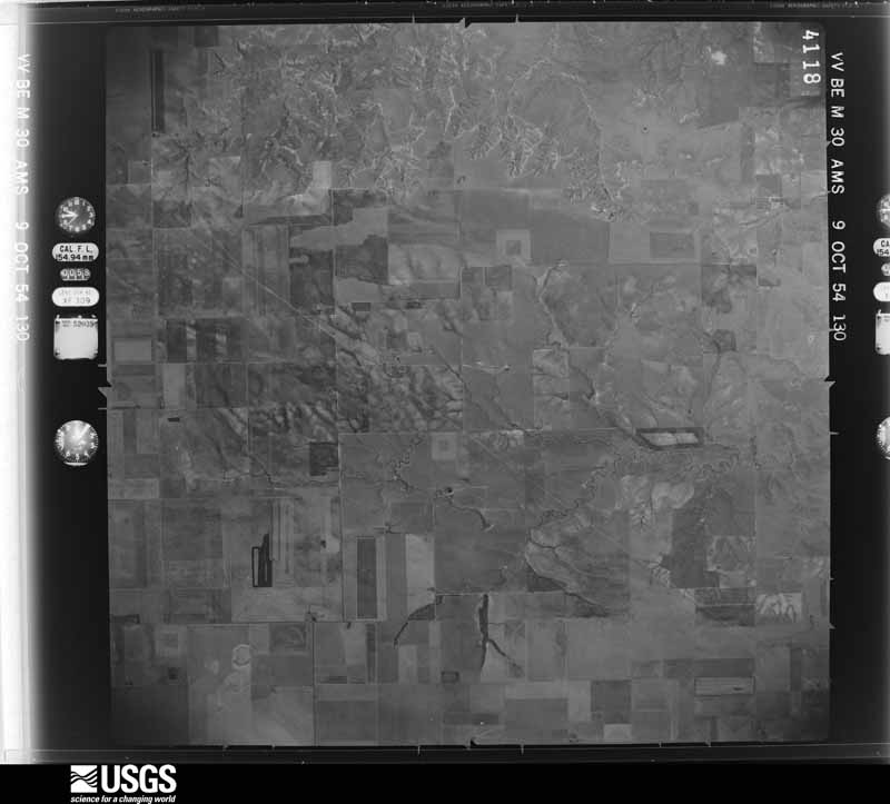
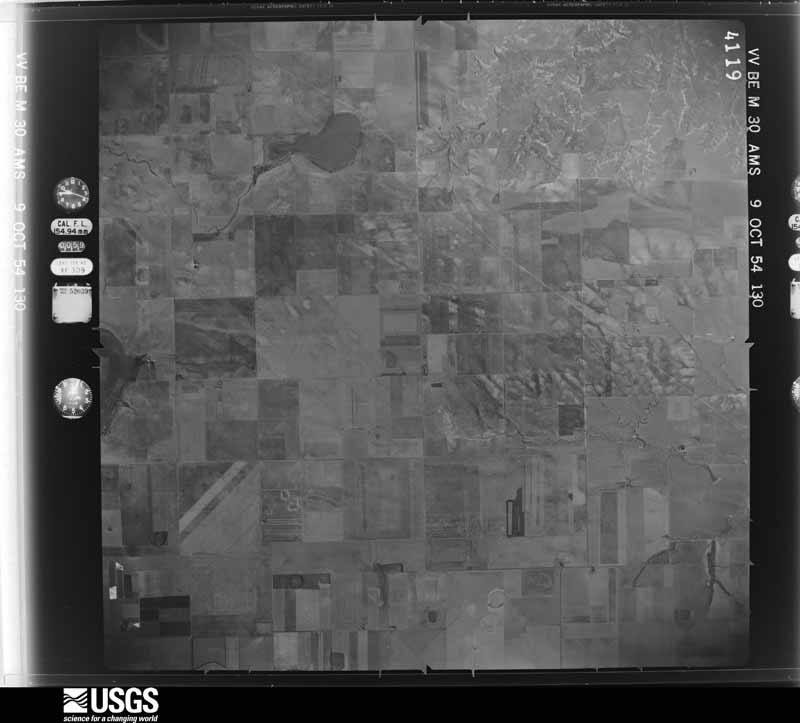
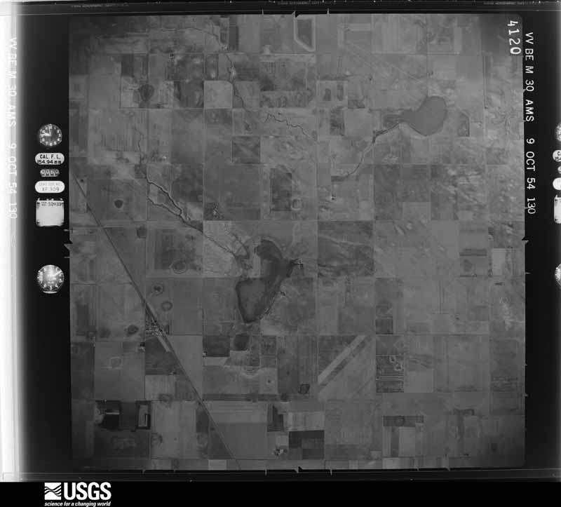
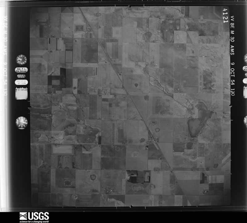
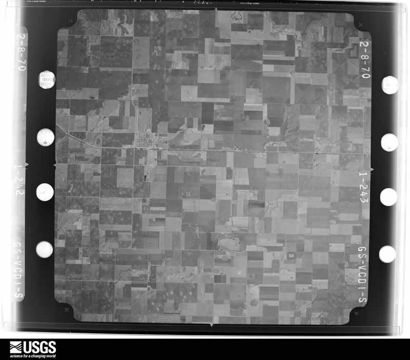
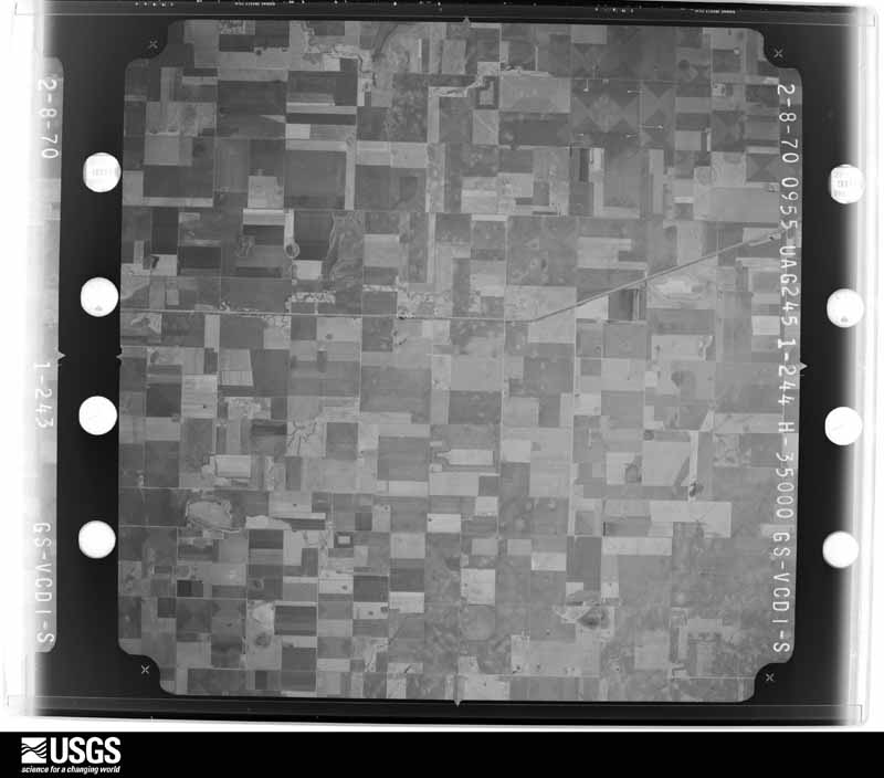
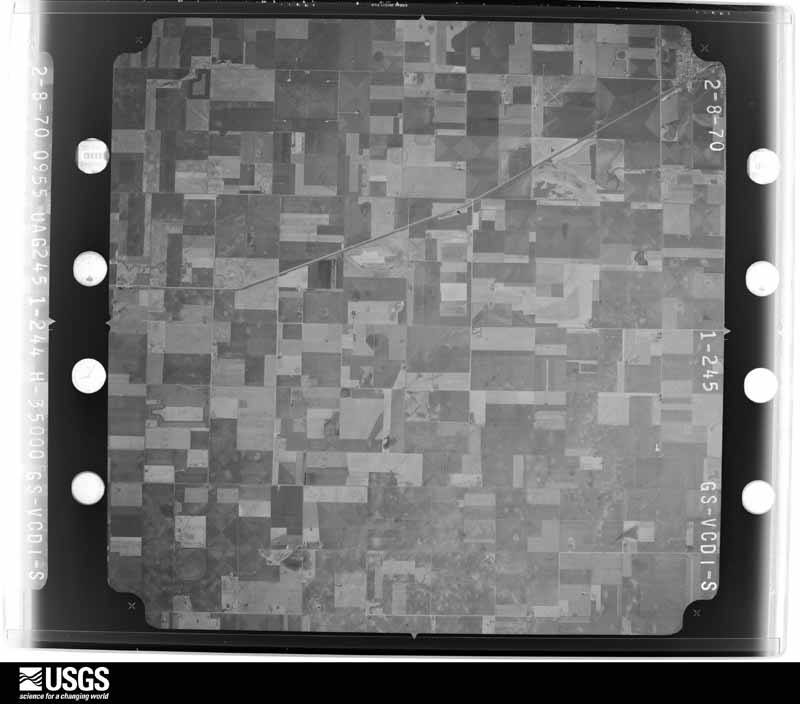
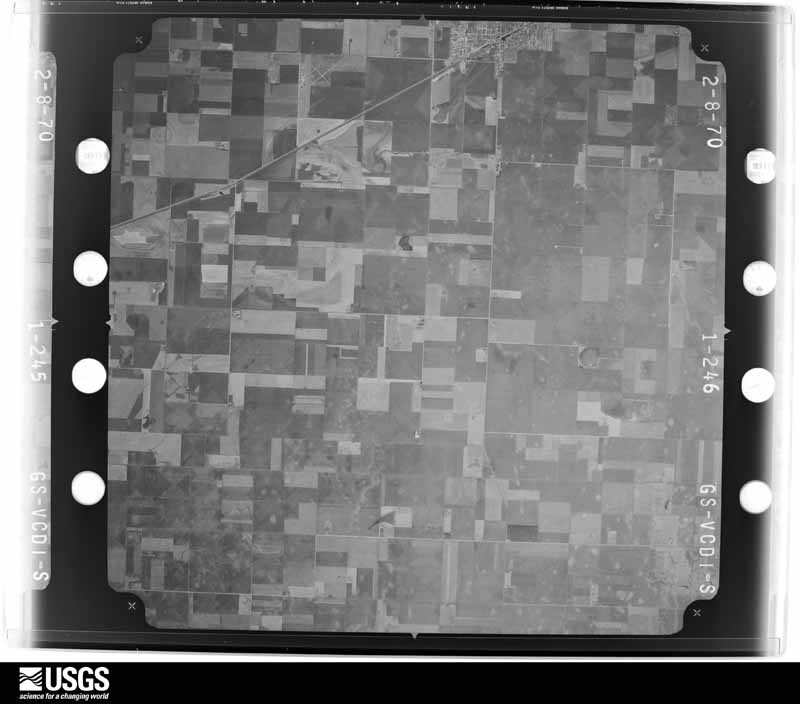
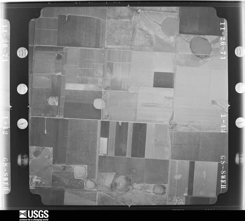
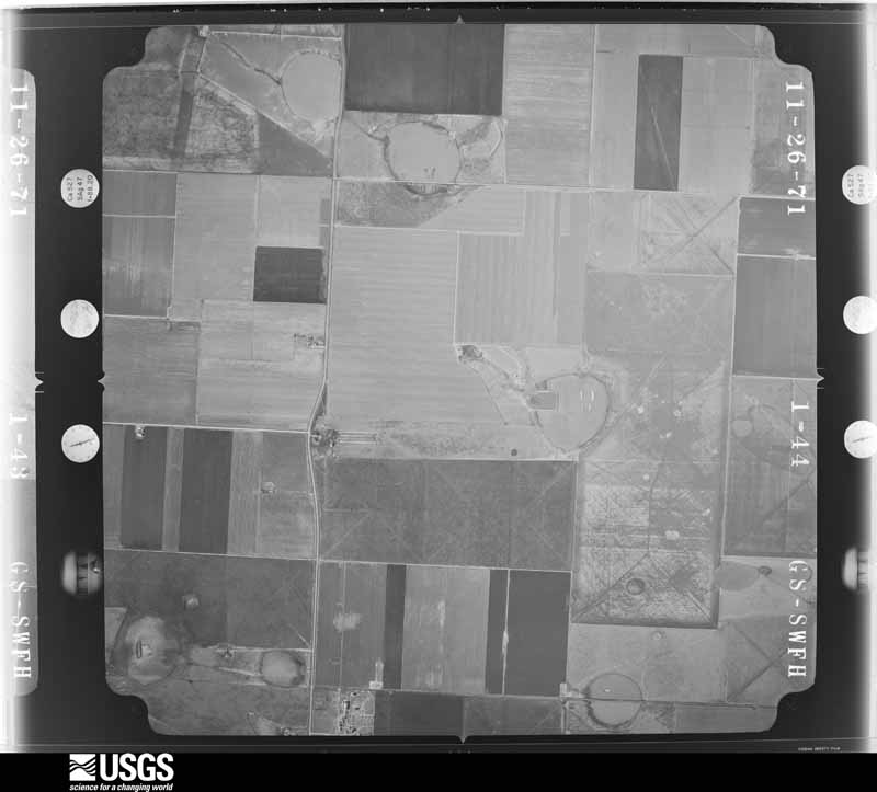
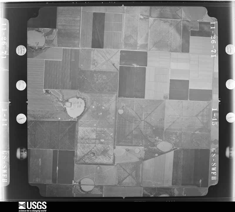
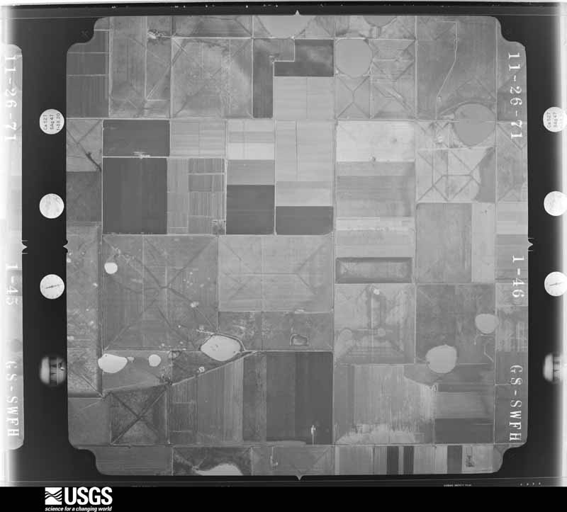
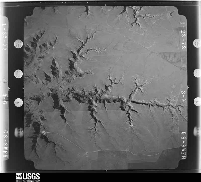
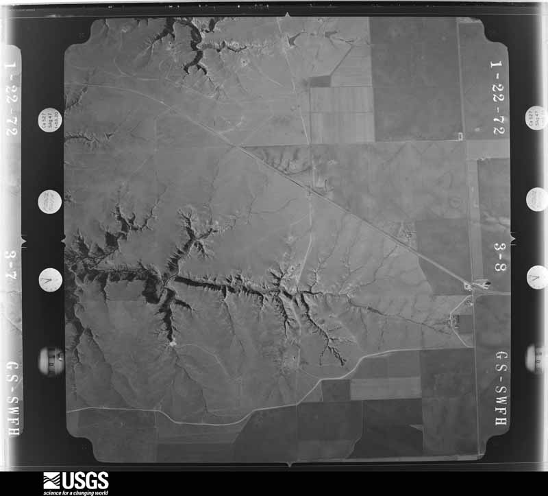
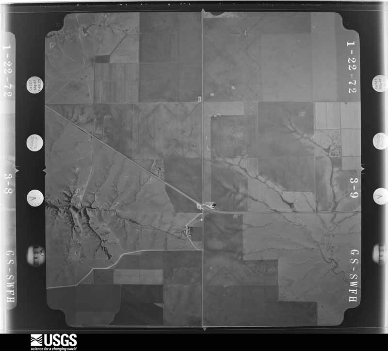
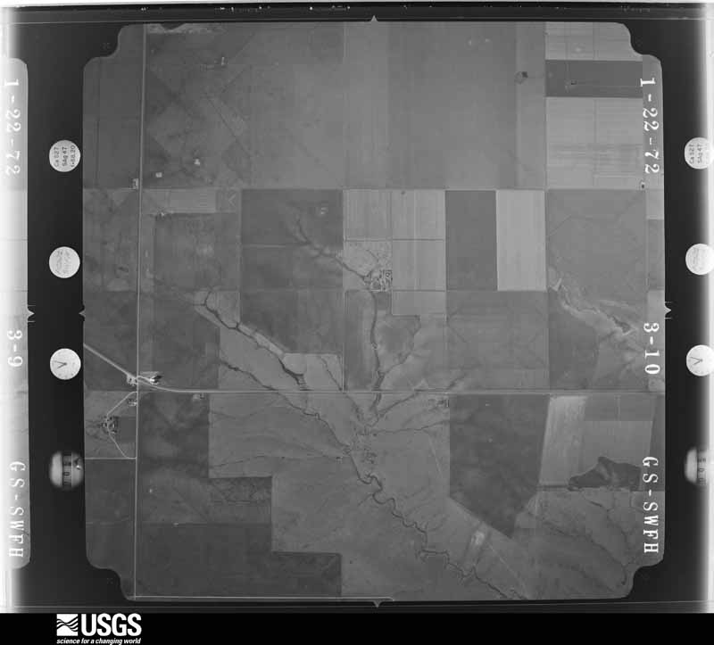
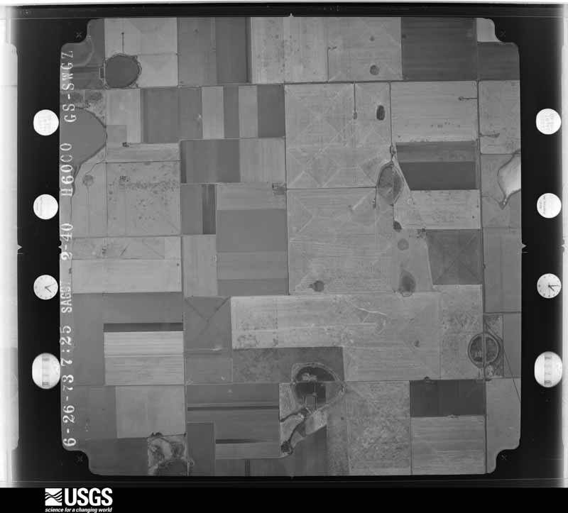
Flown by the U.S. Geological Survey between 1937 and 1989, the Aerial Photo Single Frames collection is the definitive mid-century view of the land: fields, roads and rivers as the camera saw them. The Survey holds 746 frames inside the rectangle that bounds this county; the 17 frames below were taken over the county itself, chosen across the decades of flights (at most four a year from that rectangle), so one flight cannot crowd out the rest. The full set is free to browse and download at EarthExplorer under the dataset Aerial Photo Single Frames.
The thermometers that kept this county's weather, as the federal records hold them. The extremes below are measured values from those records, not estimates.
Who lived here in 1950, one enumeration district at a time, as the Census Bureau described each district. Each row opens its official National Archives result, with Population Schedules and ED Maps available there.
Every wildfire the federal occurrence database records inside this county: 26 of them, burning about 3,956 acres. 5 started naturally and 1 was recorded as arson. Each settlement page carries the fires within five miles of it.
| Reported cause | Fires |
|---|---|
| Missing data/not specified/undetermined | 13 |
| Natural | 5 |
| Equipment and vehicle use | 4 |
| Debris and open burning | 2 |
| Power generation/transmission/distribution | 1 |
| Arson/incendiarism | 1 |
The five largest, by the area the report gives. None of them was recorded as arson.
| Date | Cause | Size | Reported by | Name on the report |
|---|---|---|---|---|
| 20 October 2007 | Missing data/not specified/undetermined | 900 acres | Texas A & M Forest Service | not named |
| 8 July 2011 | Natural | 600 acres | Texas A & M Forest Service | ALL HANDS FIRE |
| 20 October 2007 | Equipment and vehicle use | 500 acres | Texas A & M Forest Service | not named |
| 25 July 2017 | Natural | 400 acres | Texas A & M Forest Service | HARDBALL |
| 11 December 2017 | Missing data/not specified/undetermined | 400 acres | Texas A & M Forest Service | 281/83 |
| 10 May 2011 | Natural | 355 acres | Texas A & M Forest Service | DEBALL FIRE |
| 3 June 2013 | Natural | 150 acres | Texas A & M Forest Service | STATELINE |
| 19 January 2009 | Debris and open burning | 120 acres | Texas A & M Forest Service | DANIELS |
Every settlement page carries the fires within five miles of it - see the settlement index below.
The NOAA Storm Events Database holds 597 reports for this county, causing 5 deaths, 131 injuries and about $13,909,080 in recorded property damage. Each settlement page carries the reports that name it.
| Kind of event | Reports |
|---|---|
| Hail | 370 |
| Thunderstorm Wind | 126 |
| Tornado | 72 |
| Flash Flood | 17 |
| Flood | 7 |
| Funnel Cloud | 3 |
| Heavy Rain | 2 |
The most serious of them, by death, then injury, then recorded damage. The accounts are quoted exactly as the forecast office filed them.
| When | Event | Place named | Harm | What the report says |
|---|---|---|---|---|
| June 2023 | Tornado (EF3) | Perryton | 3 killed, 100 hurt, $1,000,000 | The tornado touched down to the northwest of Perryton and crossed|Highway 143. It entered town, where it caused significant damage|to a mobile home community. Dozens of mobile homes were|completely destroyed. It continued into downtown and caused|structural damage to several downtown shops, some with collapsed|walls. A microwave tower was also folded in half. The tornado|intensified and caused low end EF3 damage to a few retail stores|in downtown and along Ash Street, some of which were completely destroyed. |As the tornado continued to the southeast across Birch and Cedar |Streets, it damaged numerous mobile homes and single family structures, |continuing as an EF2 in this area. A cell phone tower was also brought |down, which resulted in telecommunication outages. The tornado affected an|industrial park area where it tossed several empty fuel tanks|across Texas 143 Loop and into a field. It also pushed a full tanker|truck into a pond along Loop 143. The tornado then crossed a|field, before damaging a grain bin and downing about ten power|poles along Highway 377. It crossed Highway 377 and lifted in an|open field before it reached County Road 20. |
| May 1950 | Tornado (F2) | not stated | 1 killed, 13 hurt, $250,000 | no account filed |
| June 1987 | Tornado (F1) | not stated | 1 killed, 4 hurt, $25,000 | no account filed |
| May 1962 | Tornado (F3) | not stated | 13 hurt, $2,500,000 | no account filed |
| June 2009 | Hail | Perryton Muni Arpt | 1 hurt | One person was struck by hail and received some bruises on the arm. The person was treated on-site. |
| May 1990 | Tornado (F3) | not stated | $2,500,000 | no account filed |
| March 1982 | Tornado (F4) | not stated | $2,500,000 | no account filed |
| April 2001 | Tornado (F1) | Perryton | $500,000 | A tornado touched down southwest of Perryton and then moved northeast clipping the southern sections of the city. The tornado then lifted northeast of the city near the airport. Damage occurred to homes and businesses along the tornado's path. The path length and width were made following an official storm survey taken of the event. |
| June 1997 | Hail | Perryton | $500,000 | no account filed |
| September 1996 | Flash Flood | Perryton | $500,000 | no account filed |
| July 1996 | Thunderstorm Wind | Perryton | $500,000 | no account filed |
| August 1993 | Thunderstorm Wind | Perryton | $500,000 | no account filed |
| May 1990 | Tornado (F2) | not stated | $250,000 | no account filed |
| May 1987 | Tornado (F3) | not stated | $250,000 | no account filed |
| June 1982 | Tornado (F2) | not stated | $250,000 | no account filed |
| May 1982 | Tornado (F1) | not stated | $250,000 | no account filed |
| April 1978 | Tornado (F2) | not stated | $250,000 | no account filed |
| June 2023 | Tornado (EF2) | Farnsworth | $114,000 | Several land spouts developed along the flanking line of a|tornadic supercell storm just north of the area. Two of these|grew significantly and became rather strong and long lived|tornadoes that were documented by several storm chasers in the|area. The stronger of the twins was rated an EF2 based on snapped|power poles along the path, but both mostly remained in open|grasslands.The tornado remained in open county and produced very|little damage outside the occasional prairie scrub brush which it|ripped from the ground. It did cross Highway 70 snapping power|poles at its peak which provided the EF2 rating. The tornado also|crossed Highway 83 before roping out near Wolf Creek Park. |
| September 2025 | Hail | Perryton | $100,000 | Large hail fell associated with a slow moving supercell just to the east of Perryton. Hail sizes ranged from 1.5 to 3.5 in diameter with this storm. At least one report of a damaged windshield was received. |
| August 2020 | Thunderstorm Wind | Twichell | $100,000 | Trailers totaled in Twichell, TX. Public reported and relayed by broadcast media. |
| April 2001 | Thunderstorm Wind | Huntoon | $100,000 | Visible damage was reported across northeastern Ochiltree county with one home and a barn sustaining severe damage. The Highway 15 storage units were totaled by the extremely high winds and a roundtop at the Roy Hughe place was lifted by the damaging winds and moved about twenty feet. Two large overhead doors were blown down at Tom McGee's building on the west end of Highway 15. |
| April 1995 | Thunderstorm Wind | Perryton | $100,000 | no account filed |
| August 2024 | Thunderstorm Wind | Perryton | $75,000 | Widespread wind damage occurred across the city of Perryton. There were a number of uprooted or snapped healthy trees. Several aluminum carports were damaged and moved that resulted in minor damage to the cars parked underneath. Some buildings had aluminum siding ripped off. Trees were blown onto powerlines and other damage may have occurred to power poles. |
| March 2024 | Tornado (EF1) | Perryton | $58,000 | The tornado developed in a field to the south of County Road M. It then crossed County Road M, where it snapped three power poles and overturned a portion of an irrigation pivot. The tornado then crossed Highway 83 where it caused loss of roofing material to a roundtop quonset. As the tornado continued to track to the northeast, it threw mud on several power poles and deposited debris along County Road L. The tornado tracked northeast before dissipating in a field. Video footage exists that confirms this tornado was rather wide and possibly had multiple vortices. The estimated wind speed of this tornado was 105mph. |
| September 2025 | Hail | Perryton Muni Arpt | $50,000 | A slow moving supercell thunderstorm continued to move south through central Ochiltree County. It continued to produce large hail around the Wolf Creek Park area. Hailstones ranged from one inch to 2.5 inches. |
| April 2001 | Thunderstorm Wind | Perryton | $50,000 | Several roofs were reported blown off...cattle trucks were turned over...and power lines were blown down. |
| September 1996 | Flash Flood | Perryton | $50,000 | no account filed |
| April 1995 | Thunderstorm Wind | Perryton | $50,000 | no account filed |
| June 1994 | Hail | Perryton | $50,000 | no account filed |
| August 1993 | Thunderstorm Wind | Perryton | $50,000 | no account filed |
| August 1993 | Thunderstorm Wind | Perryton | $50,000 | no account filed |
| April 2001 | Thunderstorm Wind | Perryton | $40,000 | Two hangers were destroyed at the airport...lots of roofs were damaged...and many power poles were reported down. |
| June 2021 | Thunderstorm Wind | Perryton | $30,000 | Sheriff called and reported that a barn had been destroyed about 4 miles north of Perryton. There were powerlines that had been snapped, and trees down. |
| July 2004 | Thunderstorm Wind | Perryton | $28,000 | Steel pole barn damaged...power poles broken...and a heavy wooden play system damaged on County Road 17 about two to three miles north of State Highway 15. |
| July 2008 | Thunderstorm Wind | Perryton | $27,000 | A local radio station reported wind damage to the Activity Center which had its roof partially blown off. There were also some cracked windows to the center and the vents were bent. Also...one of the County Commissioners had the windows of his vehicle completely blown out which was parked two and a half blocks northwest of the Activity Center. The time of the wind damage was estimated...but reportedly occurred just before 1600 CST. No injuries were reported. |
| May 1991 | Tornado (F0) | not stated | $25,000 | no account filed |
| July 1987 | Tornado (F1) | not stated | $25,000 | no account filed |
| July 1967 | Tornado (F2) | not stated | $25,000 | no account filed |
| June 1960 | Tornado (F1) | not stated | $25,000 | no account filed |
| March 2024 | Tornado (EF0) | Perryton | $21,000 | This brief tornado touched down shortly after the first tornado as the mesocyclone occluded. Damage to a barn included loss of a door and some lifted roof panels near County Rd K, with additional damage to the Ochiltree Hospital where shingles and|some roof material were blown off just before the tornado lifted. The estimated wind speed of this tornado was 80mph. |
| April 1995 | Thunderstorm Wind | Perryton | $20,000 | no account filed |
| September 2012 | Thunderstorm Wind | Perryton | $15,000 | Local law enforcement officials reported that the thunderstorm wind gusts knocked down power lines and also knocked over an irrigation sprinkler system. There were no reports of injuries or fatalities. |
| May 2007 | Thunderstorm Wind | Perryton Mcclain Arp | $14,000 | High winds blew over a tree which damaged a car. |
| September 2023 | Thunderstorm Wind | Waka | $12,000 | Three to four power poles were snapped and laying on the ground from thunderstorm winds. |
| June 2021 | Hail | Twichell | $10,000 | Person reported broken windows to house from large hail blowing in from the west. The largest hail was ping pong ball size with lots of quarters present. Vehicles received dents and tree limbs up to 4 inches in diameter were blown/knocked down. |
| August 1999 | Thunderstorm Wind | Perryton | $10,000 | Strong winds damaged the roof at a hardware store on the east side of Perryton. The porch roof blew over and rolled up about ten feet of roof on the main storage shed. Some plywood and particle board in the shed was also water damaged. |
| September 2025 | Hail | Farnsworth | $10,000 | no account filed |
| May 2007 | Tornado (EF1) | Perryton Mcclain Arp | $9,000 | This tornado developed over open country just southwest of the intersection of Farm to Market Road 281 and County Road 23 at 2043 CST. The tornado traveled northeast for about three miles and dissipated between Farm to Market Road 281 and U.S. Highway 83 at 2050 CST. Power poles were snapped...trees were damaged...and the roof of a hog barn was damaged. No injuries were reported. |
| March 2024 | Hail | Perryton | $5,000 | Hail fell in and along the south side of Perryton. Quarter size hail fell near the Southwest Loop Road and Spur 192 and additional quarter size hail fell along Indiana Street. The largest hail that fell was golfball size just south of town. |
| May 2024 | Hail | Twichell | $5,000 | no account filed |
| May 2024 | Hail | Waka | $5,000 | no account filed |
| May 2024 | Hail | Perryton | $5,000 | no account filed |
| May 1996 | Thunderstorm Wind | Perryton | $5,000 | no account filed |
| May 2007 | Thunderstorm Wind | Perryton | $4,000 | Power poles were reported snapped by the high winds. |
| October 1968 | Tornado (F0) | not stated | $2,500 | no account filed |
| April 1967 | Tornado (F1) | not stated | $2,500 | no account filed |
| June 1960 | Tornado (F1) | not stated | $2,500 | no account filed |
| June 1957 | Tornado (F2) | not stated | $2,500 | no account filed |
| June 2008 | Thunderstorm Wind | Perryton Muni Arpt | $1,800 | A trained spotter reported a one mile stretch of downed tree branches...which were two inches in diameter...along County Road U. |
| May 1990 | Tornado (F1) | not stated | $250 | no account filed |
Named settlements recorded in the Geographic Names Information System, each with the topographic sheets covering it. Villages, hamlets and abandoned places alike. Each is shown with the nearest named watercourse or landform and the survey quadrangle it falls on.