 Block
BlockFrom the record
4 National Register listings published here.
Sources: the National Register database, National Park Service
34 topographic sheets cover 9 settlements here, and 4 properties are on the National Register of Historic Places.
4 National Register listings published here.
Sources: the National Register database, National Park Service
Every property in this county listed on the National Register of Historic Places, with the year it was listed and the federal nomination document.
| Photograph | Property | Type | Listed | Reference |
|---|---|---|---|---|
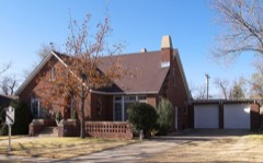 | Amarillo Globe Dream House | building | 1997 | 97001532 |
 | L. T. Lester House | building | 1978 | 78002975 |
| Llano Cemetery Historic District | district | 1992 | 92000584 | |
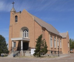 | St. Mary's Catholic Church | building | 1983 | 83003159 |
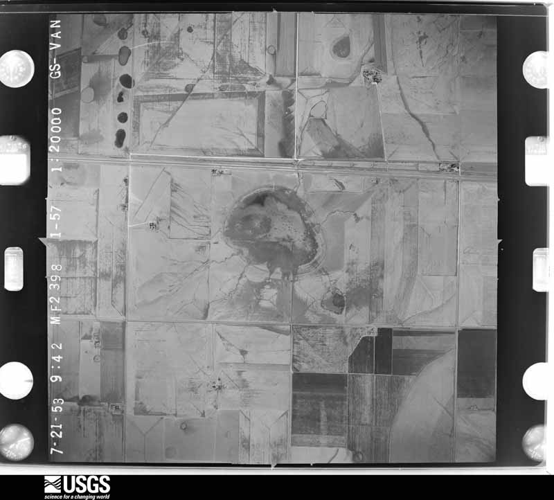
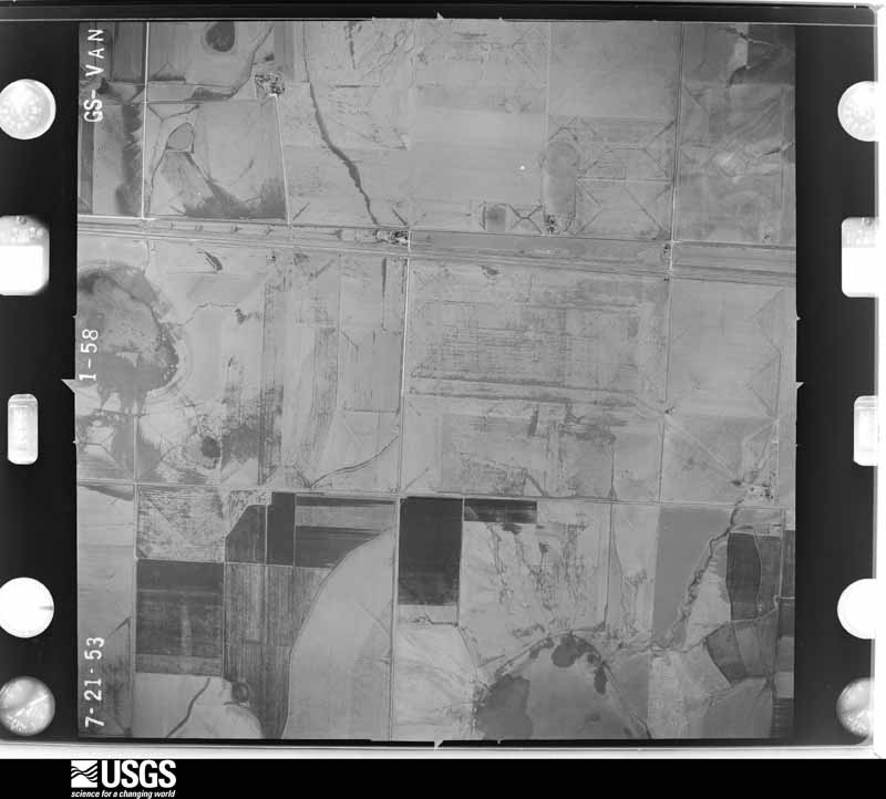
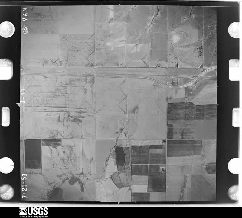
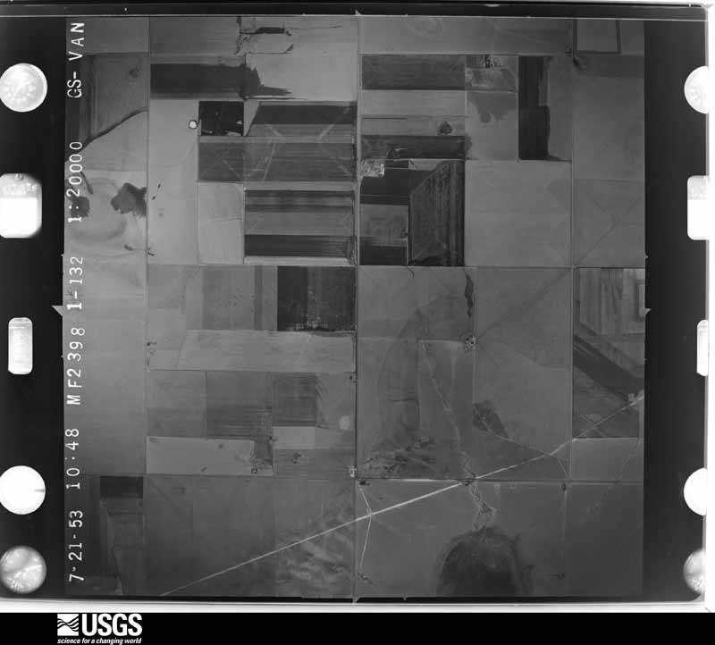
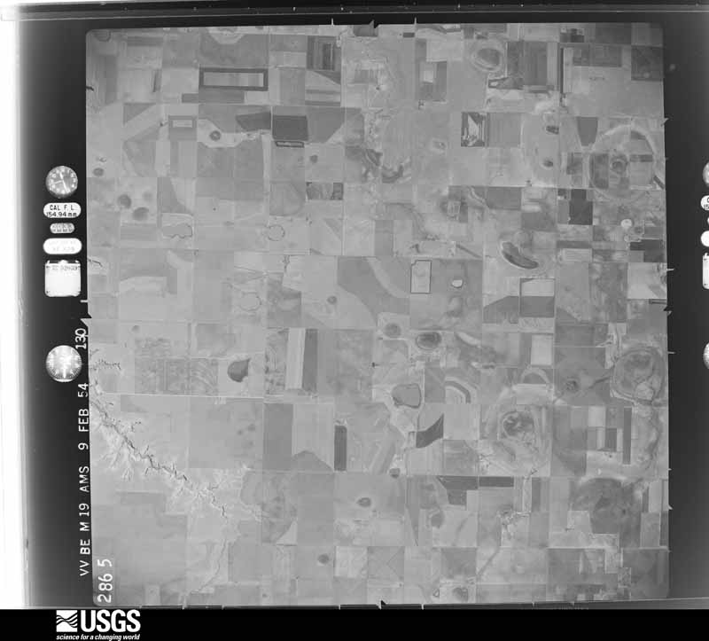
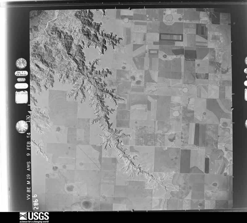
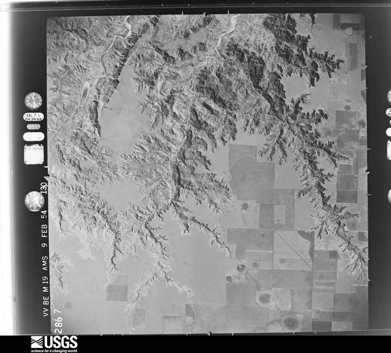
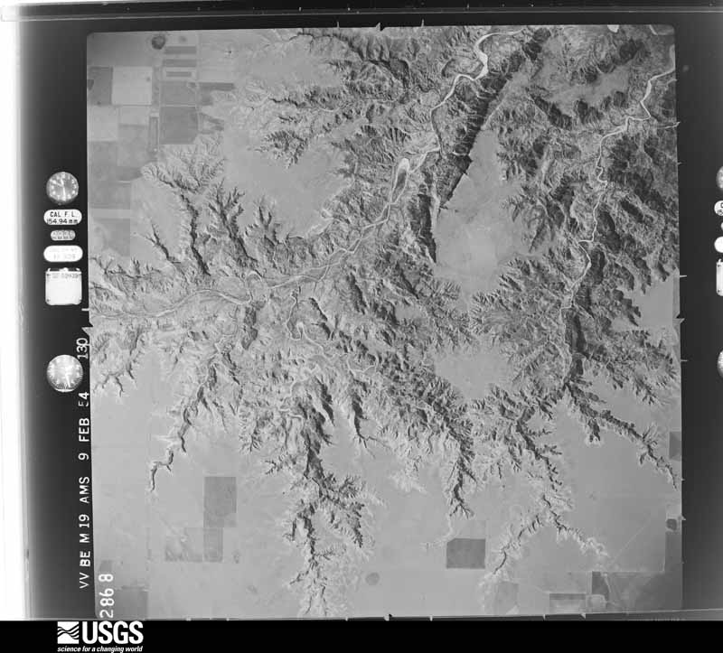
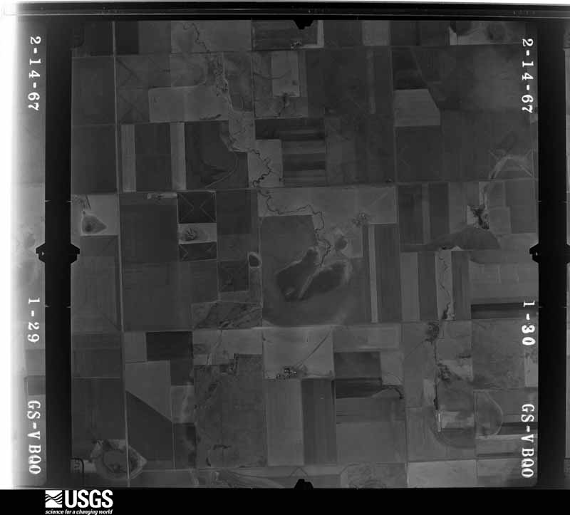
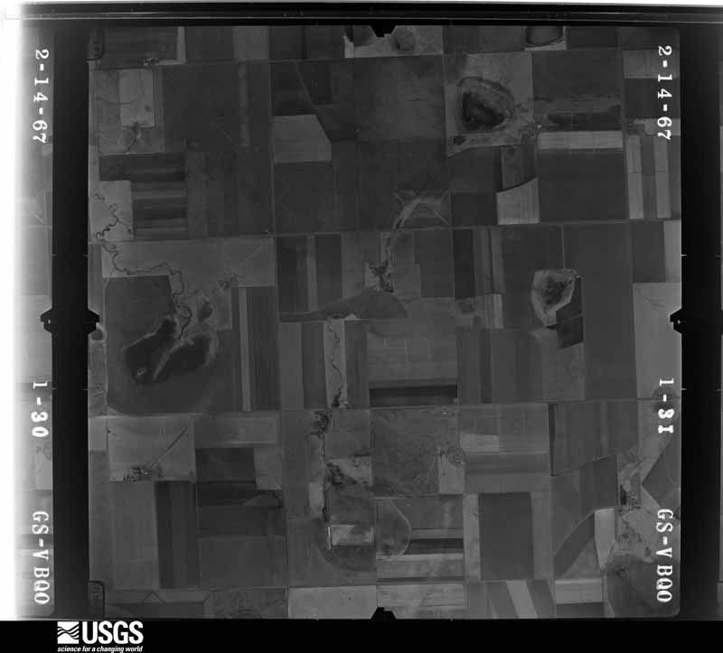
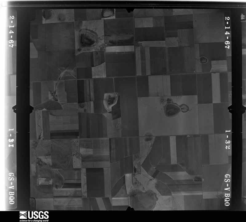
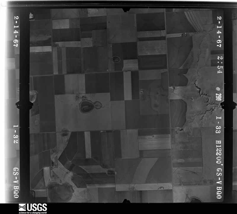
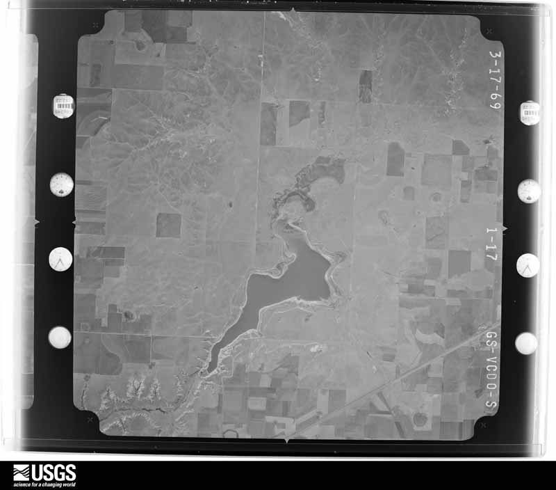
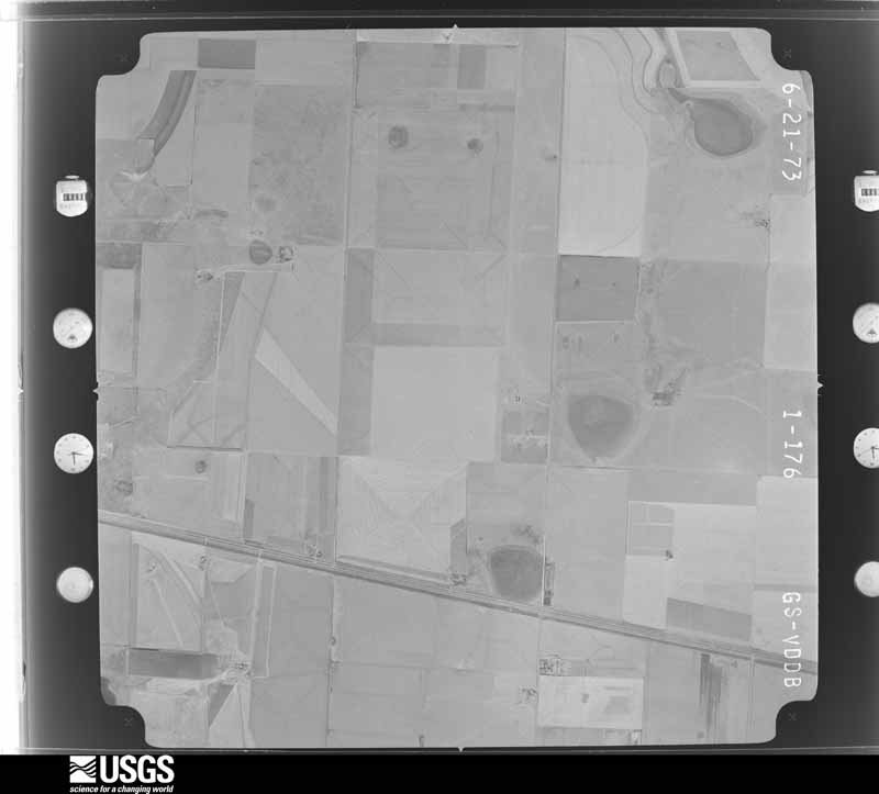
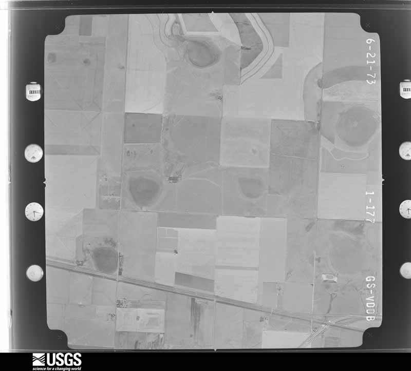
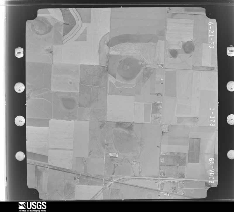
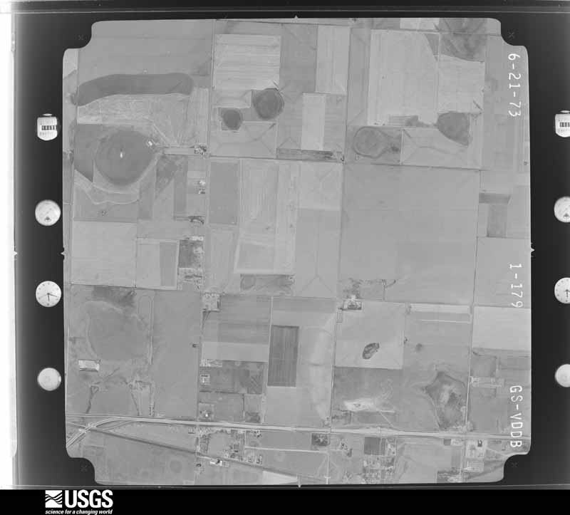
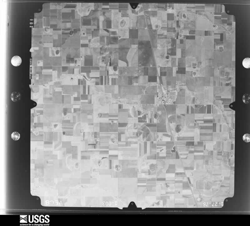
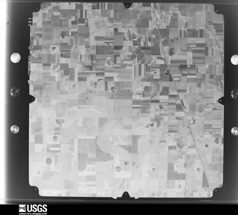
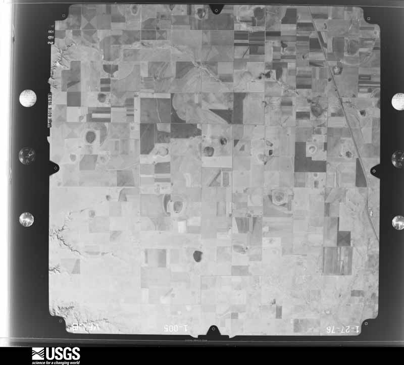
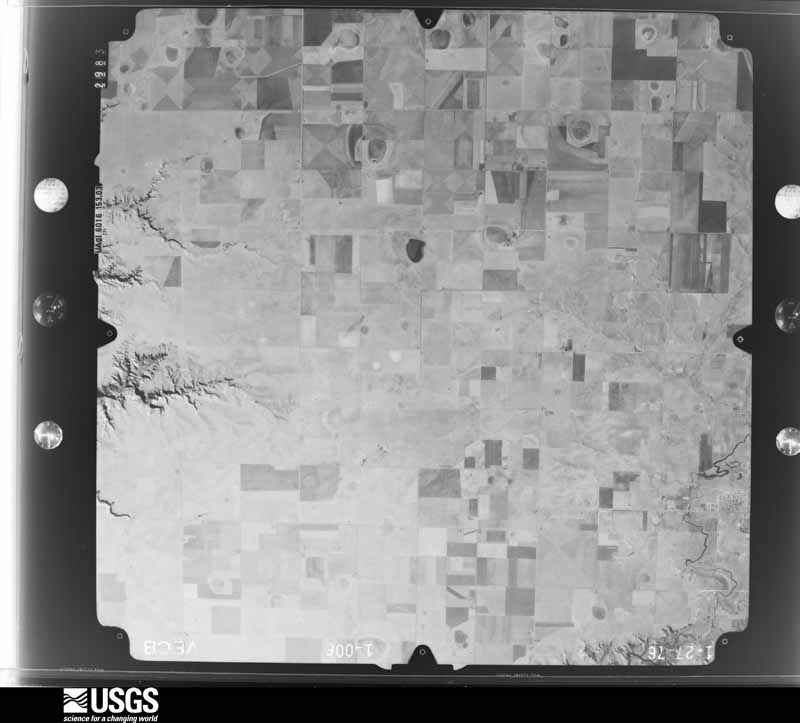
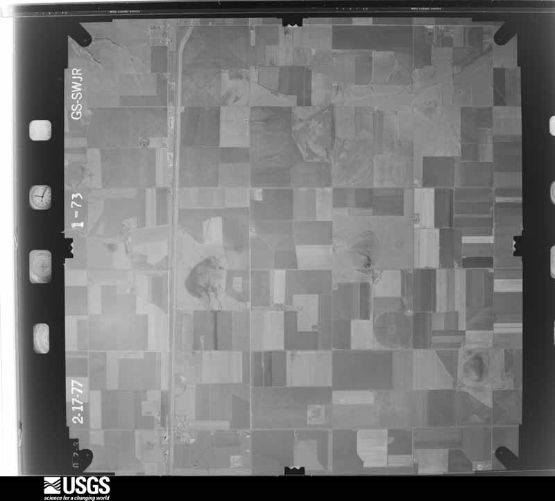
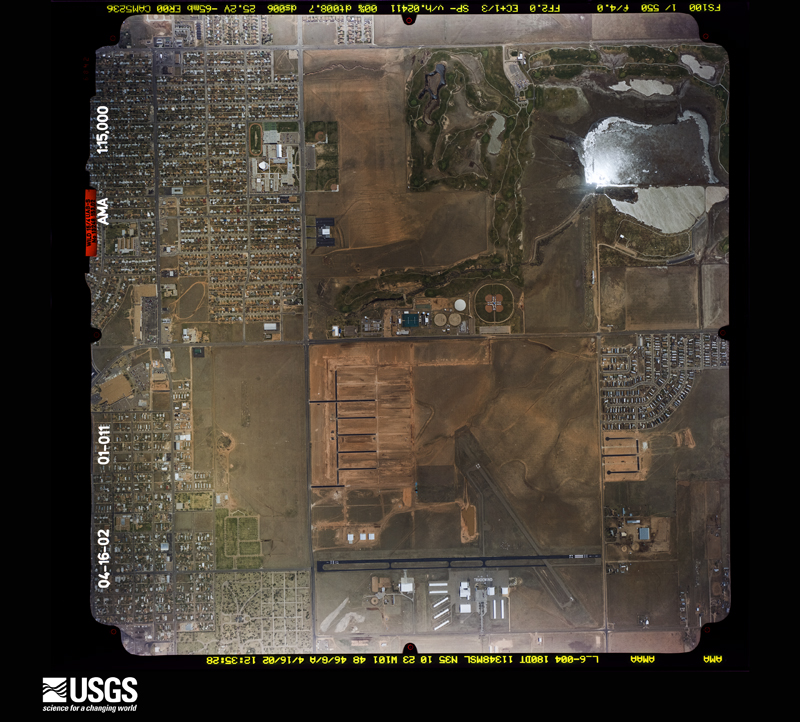
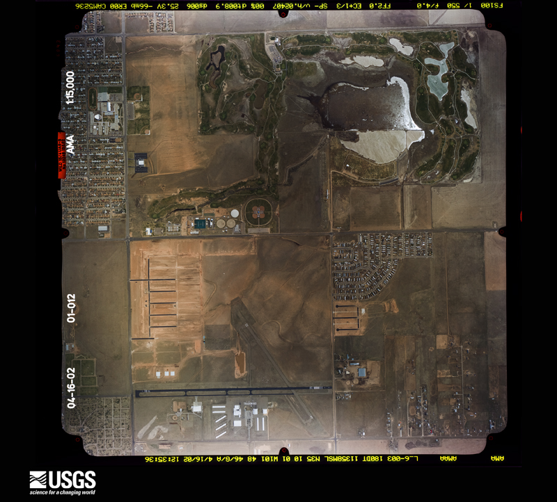
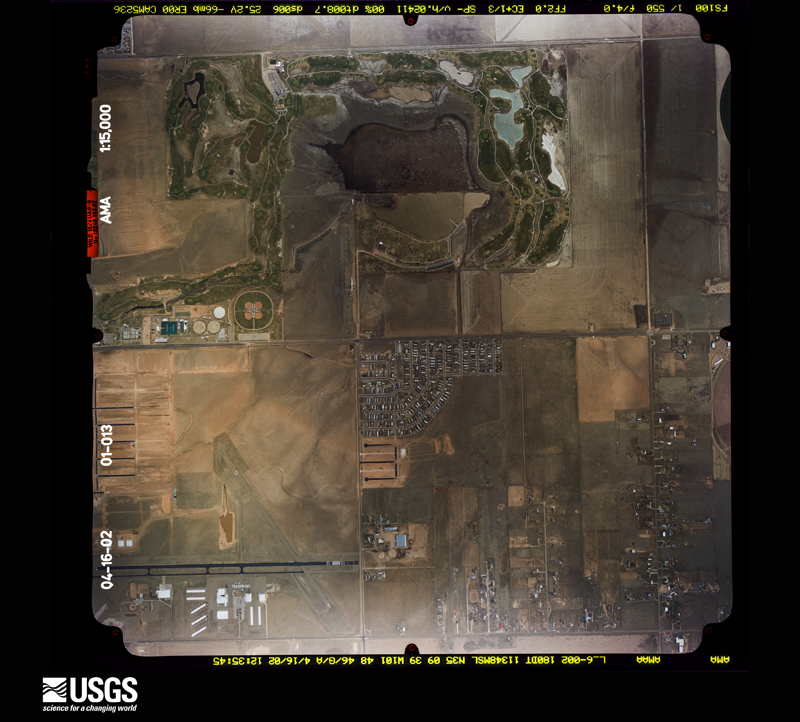
Flown by the U.S. Geological Survey between 1937 and 1989, the Aerial Photo Single Frames collection is the definitive mid-century view of the land: fields, roads and rivers as the camera saw them. The Survey holds 1,457 frames inside the rectangle that bounds this county; the 31 frames below were taken over the county itself, chosen across the decades of flights (at most four a year from that rectangle), so one flight cannot crowd out the rest. The full set is free to browse and download at EarthExplorer under the dataset Aerial Photo Single Frames.


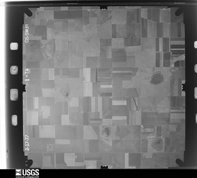
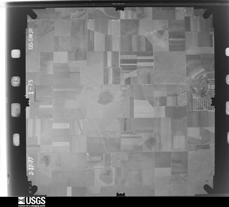
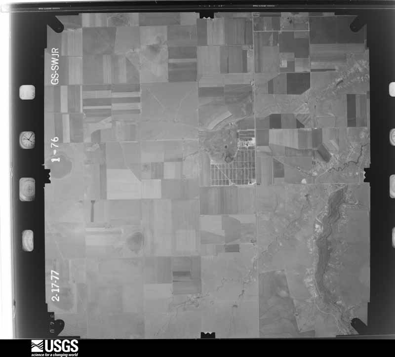
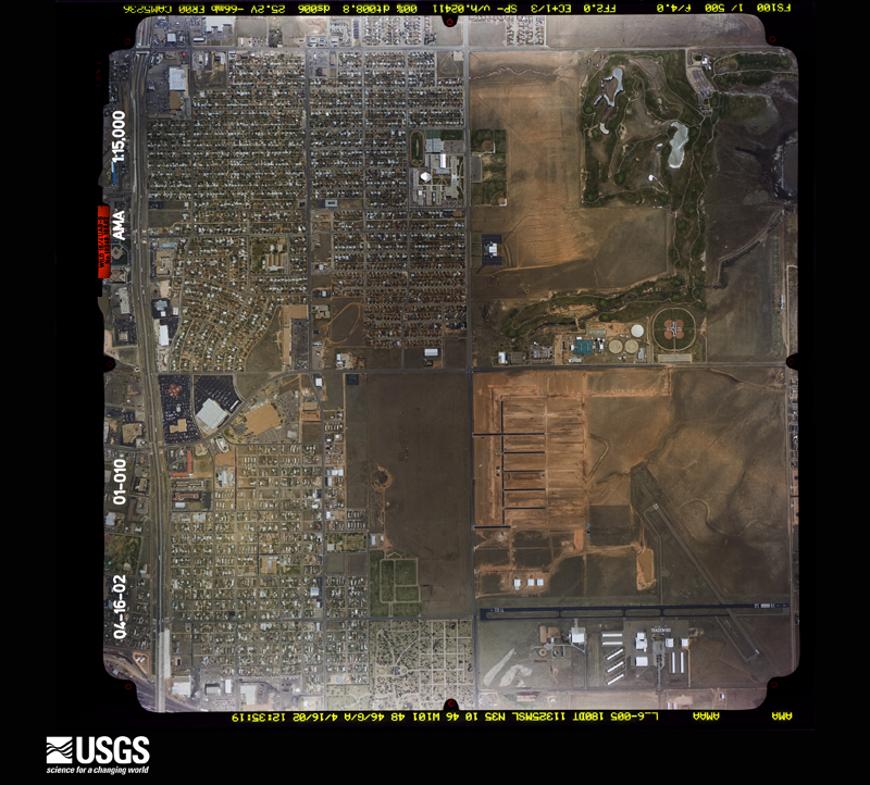
The thermometers that kept this county's weather, and the gages that measured the flow of its streams, as the federal records hold them. The extremes below are measured values from those records, not estimates.
Who lived here in 1950, one enumeration district at a time, as the Census Bureau described each district. Each row opens its official National Archives result, with Population Schedules and ED Maps available there.
Every wildfire the federal occurrence database records inside this county: 952 of them, burning about 43,320 acres. 64 started naturally and 22 were recorded as arson. Each settlement page carries the fires within five miles of it.
| Reported cause | Fires |
|---|---|
| Missing data/not specified/undetermined | 436 |
| Equipment and vehicle use | 181 |
| Debris and open burning | 144 |
| Natural | 64 |
| Power generation/transmission/distribution | 47 |
| Smoking | 27 |
| Arson/incendiarism | 22 |
| Misuse of fire by a minor | 14 |
| Recreation and ceremony | 7 |
| Railroad operations and maintenance | 6 |
| Other causes | 3 |
| Fireworks | 1 |
The five largest, by the area the report gives. One of them was set deliberately.
| Date | Cause | Size | Reported by | Name on the report |
|---|---|---|---|---|
| 24 May 2011 | Missing data/not specified/undetermined | 16,803 acres | Texas A & M Forest Service | CANYON FIRE |
| 24 May 2011 | Missing data/not specified/undetermined | 5,000 acres | Buffalo Lake National Wildlife Refuge | EAST HEREFORD |
| 27 February 2011 | Power generation/transmission/distribution | 1,659 acres | Texas A & M Forest Service | TANGLEWOOD FIRE |
| 12 March 2006 | Missing data/not specified/undetermined | 1,500 acres | Texas A & M Forest Service | not named |
| 16 December 2003 | Equipment and vehicle use | 1,000 acres | Texas A & M Forest Service | HIGH PLAINS - 1 |
| 12 March 2006 | Missing data/not specified/undetermined | 1,000 acres | Texas A & M Forest Service | not named |
| 22 October 2005 | Smoking | 625 acres | Buffalo Lake National Wildlife Refuge | BUFFALO_LAKE_1 |
| 19 June 2011 | Arson/incendiarism | 607 acres | Texas A & M Forest Service | NANCE RANCH FIRE |
Every settlement page carries the fires within five miles of it - see the settlement index below.
The NOAA Storm Events Database holds 1,492 reports for this county, causing 4 deaths, 17 injuries and about $299,458,960 in recorded property damage. Each settlement page carries the reports that name it.
| Kind of event | Reports |
|---|---|
| Hail | 898 |
| Thunderstorm Wind | 365 |
| Flash Flood | 101 |
| Tornado | 86 |
| Flood | 21 |
| Heavy Rain | 13 |
| Funnel Cloud | 4 |
| Lightning | 3 |
| Dust Devil | 1 |
The most serious of them, by death, then injury, then recorded damage. The accounts are quoted exactly as the forecast office filed them.
| When | Event | Place named | Harm | What the report says |
|---|---|---|---|---|
| May 1995 | Tornado (F2) | Amarillo | 1 killed, 12 hurt, $500,000 | no account filed |
| December 2012 | Thunderstorm Wind | Timbercreek Canyon | 1 killed | A 69 mph thunderstorm winds gusts estimated via radar caused a tractor trailer rollover accident at the intersection of McAfee Road and Washington Street in Amarillo (Randall County). The tractor trailer was traveling south along Washington Street as a line of thunderstorms moved from west to east across Amarillo. The line of thunderstorms produced a downdraft which struck the tractor trailer perpendicular to its path of travel causing the driver to lose control of the vehicle. The driver of the semi-tractor trailer died as a result of the rollover. |
| July 2000 | Lightning | Amarillo | 1 killed | no account filed |
| June 1994 | Thunderstorm Wind | Amarillo | 1 killed | no account filed |
| June 1992 | Hail | not stated | 2 hurt | no account filed |
| March 1990 | Thunderstorm Wind | not stated | 2 hurt | no account filed |
| October 1999 | Lightning | Canyon | 1 hurt | A fourteen-year old boy was critically injured in the Lake Tanglewood area after being struck by lightning. |
| May 2013 | Hail | Amarillo | $50,000,000 | A supercell thunderstorm that developed along a retreating dryline in Deaf Smith and Oldham Counties tracked to the northeast across the southern Texas Panhandle. The supercell entered the city limits of Amarillo during the late night hours of the 28th. This supercell thunderstorm produced copious amounts of large destructive hail across the city. An amateur radio operator at the intersection of Soncy Road and 45th Ave reported half dollar size hail. Approximately 300 vehicles suffered hail damage at Street Toyota on the western side of this intersection and the adjacent neighborhood suffered varying degrees of roof damage. The supercell continued traveling in a northeastern direction which took it out of the Amarillo city limits shortly before midnight on the 29th. |
| June 2004 | Hail | Amarillo | $25,000,000 | Reported in the Sleepy Hollow area of south Amarillo. Many roofs and skylights to homes damaged by the hail. |
| June 2004 | Hail | Canyon | $25,000,000 | Reported at Hunsley Road and Interstate 27. Many homes had damage to roofs and skylights from the hail. |
| June 2004 | Hail | Amarillo | $25,000,000 | Many homes and cars damaged by the hail including roofs...windows and skylights. |
| June 2004 | Hail | Amarillo | $20,000,000 | Reported at Farm to Market Road 2186 about one mile west of Soncy Road. Several homes had damage to roofs and skylights from the hail. |
| June 2004 | Hail | Amarillo | $20,000,000 | Reported at 34th and Georgia Street. The large hail damaged roofs to many homes. |
| June 2004 | Hail | Amarillo | $20,000,000 | Reported at Hillside Road and Bell Street. Many homes had damage to roofs and skylights from the hail. |
| June 2004 | Hail | Amarillo | $15,000,000 | Reported in the Greyhawk subdivision south of Soncy Road and the southern part of Loop 335/Hollywood Road. Many homes and cars damaged by the hail including roofs...windows and skylights. |
| May 2013 | Thunderstorm Wind | Amarillo | $10,000,000 | Thunderstorms formed along a dryline stretching east-northeastward across Randall and Potter Counties during the afternoon hours of the 28th. These thunderstorms would take a northeast track which allowed them to move over the dryline. This caused the thunderstorms to produce isolated downbursts across the city. One such thunderstorm produced a downburst which snapped two power poles at the intersection of Washington Street and Farmers Road (Randall County). The Amarillo Emergency Manager (Potter and Randall County) relayed the report of damage and the Amarillo Police department were deployed to block off traffic in that area. The thunderstorm decayed quickly after moving to the dry side of the dryline due to ingesting much drier air into the updrafts. No injuries were associated with this gust. |
| May 2013 | Thunderstorm Wind | Canyon | $10,000,000 | Thunderstorms formed along a dryline stretching east-northeastward across Randall and Potter Counties during the afternoon hours of the 28th. These thunderstorms would take a northeast track which allowed them to move over the dryline. This caused the thunderstorms to produce isolated downbursts across the city. One such thunderstorm produced a localized downburst which downed power poles on US Highway 60 west of the city of Canyon (Randall County). The thunderstorm decayed quickly after moving to the dry side of the dryline due to ingesting much drier air into the updrafts. No injuries were associated with this gust. |
| May 2013 | Hail | Amarillo | $10,000,000 | A supercell thunderstorm that developed along a retreating dryline in Deaf Smith and Oldham Counties tracked to the northeast across the southern Texas Panhandle. The supercell entered the city limits of Amarillo during the late night hours of the 28th. This supercell thunderstorm produced copious amounts of large destructive hail across the city. An off duty National Weather Service employee reported golf ball size hail at their residence. This hail caused damage to neighboring homes and vehicles. The supercell continued traveling in a northeastern direction which took it out of the Amarillo city limits shortly before midnight on the 29th. |
| May 2013 | Hail | Umbarger | $10,000,000 | A supercell thunderstorm that developed along a retreating dryline in Deaf Smith and Oldham Counties tracked to the northeast across the southern Texas Panhandle. This supercell produced baseball size hail as it moved across the southern portion of Bushland (Randall County). The hail caused damage to structures and damaged power transformers which put off power flashes that the Bushland Emergency Manager reported. The supercell continued traveling in a northeastern direction which took it away from Bushland. |
| June 2004 | Hail | Canyon | $10,000,000 | Reported at Rockwell Road and Interstate 27. Several homes and businesses had damage to roofs and windows. |
| May 2000 | Hail | Amarillo | $10,000,000 | Damage estimate of ten million dollars includes damage estimated for all of Potter and Randall counties. |
| June 1999 | Hail | Canyon | $8,000,000 | Three car dealerships just north of Canyon sustained heavy damage to around two hundred to three hundred vehicles and to their buildings with an estimated cost of one and a half million to two million dollars per dealership. The rest of the damage was to windows, skylights and roofs of homes on the north side of Canyon. |
| June 2020 | Hail | Amarillo | $5,000,000 | A swath of hail ranging from penny to ping pong ball size hail fell across southern Potter and northern Randall County as a severe storm tracked along the county line from western Amarillo into central portions of Amarillo in slightly over a 20 minute period of time. At that point the hail core crossed completely into Potter County and continued. The largest hail fell near the Potter/Randall County line and a 2 inch hail report was received just across the line in Potter County. The swath of severe hail extended at least 1.5 miles into northern Randall county (from the county line to near 45th). Some dents were noted on vehicles, and leaves were stripped from trees. A few smaller limbs were brought down. |
| May 2013 | Thunderstorm Wind | Amarillo | $5,000,000 | A supercell thunderstorm that developed along a retreating dryline in Deaf Smith and Oldham Counties tracked to the northeast across the southern Texas Panhandle. The supercell entered the city limits of Amarillo during the late night hours of the 28th. As this supercell thunderstorm moved over the Windtree Apartment complex it produced a localized downburst which split a 3 foot diameter tree in two. The southward split portion of the tree feel onto southward facing apartments and broke windows and skylights of these apartments. No injuries were reported with this damage. |
| May 1999 | Hail | Amarillo | $2,500,000 | Large hail damaged siding and broke windows in homes and also caused roof damage in south and southwest Amarillo. |
| May 1982 | Tornado (F3) | not stated | $2,500,000 | no account filed |
| April 1970 | Tornado (F4) | not stated | $2,500,000 | no account filed |
| May 1997 | Hail | Amarillo | $2,000,000 | Numerous cars damaged at car dealerships at 34th Street and Georgia Street. |
| June 2025 | Hail | Canyon | $1,000,000 | A supercell thunderstorm tracked through southern Randall County and produced a swath of large hail from up to seven miles northwest of Canyon, and through the city of Canyon. Hail initially was around ping pong ball size but grew larger as the storm went through Canyon, producing hail up two and a half inches in diameter in Canyon. With measured winds around 70-80mph, much of this hail was wind-driven and produced significant damage to roofs, siding and broke many windows. While the total number of windows broken is unknown, it is at least 35. |
| May 1999 | Hail | Amarillo | $1,000,000 | Large hail damaged a total of eight hundred and fifty automobiles at Gene Messer Ford in southwest Amarillo and Westgate Chevrolet on the west side of Amarillo causing a total of two and a half million dollars. The rest of the damage was to other people's cars , roof damage, windows of homes and sky lights. |
| March 2021 | Tornado (EF2) | Buffalo Lake | $600,000 | This tornado was a continuation from Swisher County. The tornado damaged numerous electrical transmission lines with power poles snapped along the path. Several homes sustained significant roof damage. One home lost large sections of roof |decking material and this together with a collapsed cell phone |tower led to an EF2 rating. Otherwise, damage to power poles, out |buildings, trees, and fencing suggested EF0 to EF1 ratings along |the tornado path. This tornado handed off to a new tornado - the |Palo Duro Canyon to Washburn tornado - just east of its path and |both tornadoes occurred simultaneously for several minutes before |the first tornado dissipated. |
| April 2025 | Tornado (EF1) | Canyon | $500,000 | This tornado started around Northridge Drive where it brought down some tree limbs, It then crossed Hunsley Road where it began to impact homes, resulting in roof damage and fencing damage. It caused some fencing damage and minor roof damage to Freedom Fellowship Church. It then moved through the Madison Park subdivision, turning more to the west and following along Tatum Schulte Lane and Willeford Lane. Here, several homes received roof damage, fencing damage and some tree damage. Many of the homes sustained damage as a result of failure to the garage or porch roofs. One home had damage to cars and the home as a result|of a camper that went airborne, finally resting on between houses three doors down. The tornado then turned back to the southwest, crossing FM 2590 and causing additional tree and roof damage to some homes along Aztec Road. It crossed Hunsley Road again and the tornado lifted in the field behind a home. The maximum estimated winds were 110mph. |
| October 2002 | Thunderstorm Wind | Amarillo | $500,000 | Damaging winds hit the Route 66 Raceway with large sections of bleachers rolled back and fences downed. |
| October 1994 | Hail | Amarillo | $500,000 | no account filed |
| October 1994 | Hail | Amarillo | $500,000 | no account filed |
| June 1994 | Thunderstorm Wind | Amarillo | $500,000 | no account filed |
| May 1994 | Thunderstorm Wind | Amarillo | $500,000 | no account filed |
| March 2021 | Tornado (EF1) | Palo Duro Canyon State Park | $300,000 | The original tornado - Happy to Palo Duro Canyon - associated with this tornado's parent supercell handed off to this second major tornado. Storm chaser video and damage patterns suggest the tornado was either multi-vortex or that multiple satellites may have occurred. Both the original and newly developing tornadoes were briefly on the ground simultaneously. This tornado was narrow initially and possibly consisted of multiple cones as it damaged camp grounds around the rim of Palo Duro State Park. One cabin sustained EF1 damage as its roof was completely removed. A porch likely caught the wind and aided in the damage of the roof, which is why this tornado was not rated higher. Several travel trailers were flipped and one was destroyed at another campground, but none of these trailers were anchored. Minor damage occurred to weaker structures at the state park entrance and there was notable tree damage as well. The tornado crossed the canyon and grew large on the east side, but remained in very rural country. Another rapid and complicated tornado handoff to the Palo Duro Canyon to Washburn tornado occurred east of the canyon around the Randall/Armstrong County line near the intersection of 1258 and Goathead Road as a new circulation took over. |
| June 1995 | Hail | Canyon | $300,000 | no account filed |
| June 2025 | Thunderstorm Wind | Umbarger | $260,000 | Widespread wind damage occurred as a supercell moved from just west of Canyon and through Canyon. This damage consisted of snapped large and healthy tree branches , at least one uprooted tree, major roof damage, structural damage to an old outbuilding, blown over farm equipment, campers and high profile vehicles, and at least ten snapped power poles. There was also a measured wind gust of 84 mph at the mesonet site located one mile west of Canyon. |
| August 2002 | Thunderstorm Wind | Canyon | $250,000 | Several mobile homes were damaged with six to ten receiving moderate damage and twenty-five to thirty receiving only slight damage. Some vehicles were overturned and a few outbuildings had roofs or sidings ripped off. A dozen power poles were snapped by the strong winds. A large round trampoline was lifted over a house and split a big cedar rail fence like toothpicks. A Chevrolet dealer had tiles blown off the building and there was damage to vehicles on the lot. |
| September 1988 | Tornado (F2) | not stated | $250,000 | no account filed |
| June 1962 | Tornado (F2) | not stated | $250,000 | no account filed |
| June 1962 | Tornado (F1) | not stated | $250,000 | no account filed |
| June 2004 | Tornado (F1) | Canyon | $225,000 | The tornado caused damage to four homes at the intersection of Farm to Market Road 1541 and Nance Road. One home sustained major damage...losing the entire roof. The other three homes received minor damage. A boat and a horse trailer were also tossed around by the tornado and heavily damaged. No injuries were reported. |
| April 1998 | Thunderstorm Wind | Amarillo | $150,000 | no account filed |
| September 2007 | Flash Flood | Canyon | $138,000 | Extensive flash flooding was ongoing in and around Canyon with water flowing into some homes. Five to seven inches of rain fell during the time of the flash flooding. Dumpsters and large timber were floating down the streets with water entering the Junior High School and the Intermediate School. Vehicles and other storage items were washed out of the garages at the Palo Duro Retirement Village. Many streets in Canyon were flooded and impassable...including Russell Long Boulevard...which had several cars floating down the road and was closed down. Portions of U.S. Highway 87 and the intersection of 28th Street and 4th Avenue were also impassable due to flooding. The Canyon Fire Department had to rescue about a dozen stranded motorists. The northbound and southbound lanes of Interstate 27 east of Canyon were shut down and traffic along Farm to Market Road 1541 was rerouted. Hunsley Hills Boulevard was also closed. Runoff from the rainfall washed away three hundred yards of caliche from a construction site near the intersection of U.S. Highway 87 and U.S. Highway 60. Also...a section of Farm to Market Road 3331 between U.S. Highway 60 and Interstate 27 was washed away. Water entered many homes in Canyon and several homes had water entering into the basements. No injuries and no fatalities were reported. |
| September 2012 | Flash Flood | Amarillo | $125,000 | Thunderstorms producing very heavy rainfall caused flash flooding during the late afternoon hours across much of southern Amarillo, Texas. One foot of water was reported to be over the road at Westgate Parkway and Soncy Road in southwest Amarillo. Water was reported over both sides of 34th Avenue between Soncy Road and Coulter Street with only the center turn lane not flooding. Water was also reported over Ross Street at Interstate 40. There was a report of high water over the road at 34th Avenue and South Bolton Street with the water over the hoods of vehicles. There were no reports of injuries or fatalities. |
| July 1996 | Thunderstorm Wind | Umbarger | $100,000 | no account filed |
| June 1995 | Hail | Canyon | $100,000 | no account filed |
| June 1995 | Hail | Umbarger | $100,000 | no account filed |
| May 1995 | Thunderstorm Wind | Amarillo | $100,000 | no account filed |
| June 1995 | Hail | Canyon | $100,000 | no account filed |
| October 2007 | Tornado (EF1) | Ogg | $90,000 | The tornado touched down in a field south of W Dowlen Road and east of S Hope Road approximately ten miles east southeast of Buffalo Lake or about thirteen miles south of Canyon at 2316 CST. The tornado continued moving northeast for twelve miles to just south of E Cemetery Road where it lifted at 2335 CST. Damage was first noted along W Dowlen Road...west of Running Water Road. The damage path continued northeast across Running Water Road...U.S. Highway 87 and then to near the intersection of W Hungate Road and Interstate 27. Substantial damage was noted to barns...power poles...fencing and a trailer. The tornado then continued moving northeast across another field and intensified near Tradewind Street...roughly two miles south of West County Road 283. Considerable damage to property was found including a large metal container...metal roofing...numerous trees...three double support transmission line poles...three barns...and minor damage to a homestead. The tornado also lifted and displaced a heavy metal vat full of metal tools and equipment. The tornado also moved two large diesel tanks that sat atop support pedestals behind two of the barns...one of which was completely full. |
| June 2003 | Flash Flood | Canyon | $80,000 | Major flash flooding in the city of Canyon. Numerous roads were closed and garbage dumpsters were reported floating down the street. Bar ditches were reported overflowing. One home received damage by flood waters on Country Club Road and two other homes had their basements flooded. There was a high water vehicle rescue performed in Canyon at the intersection of Country Club Road and Rockwell Road when a woman drove her vehicle into flood waters which then swept her vehicle into the ditch. The water was reported to be up to her vehicle's windows. The woman was rescued by the Canyon Fire Department and no injuries occurred. |
| May 2002 | Hail | Canyon | $80,000 | Skylights broken and lots of roof damage along with windshields broken and damage to aircraft. |
| May 2006 | Thunderstorm Wind | Amarillo | $80,000 | no account filed |
| October 1998 | Tornado (F1) | Canyon | $75,000 | no account filed |
| May 1996 | Hail | Canyon | $75,000 | no account filed |
| October 2004 | Flash Flood | Canyon | $68,000 | no account filed |
Named settlements recorded in the Geographic Names Information System, each with the topographic sheets covering it. Villages, hamlets and abandoned places alike. Each is shown with the nearest named watercourse or landform and the survey quadrangle it falls on.
Canyon census division · 79015 · On Hackberry Creek · Canyon quadrangle
9 sheets, 1954 to 1985
Amarillo census division · 79118 · By The Palisades · The Palisades quadrangle
8 sheets, 1954 to 1986
Amarillo census division · 79118 · By The Palisades · The Palisades quadrangle
8 sheets, 1954 to 1986
Canyon census division · 79118 · By The Palisades · The Palisades quadrangle
8 sheets, 1954 to 1986