 Block
BlockSwisher County, Texas
17 topographic sheets cover 9 settlements here.
Research this county
What the record shows
- 64 topographic sheet readings cover the county's settlements.
- The Geographic Names Information System records 9 populated places in this county; 9 are covered by at least one topographic sheet.
The county from the air
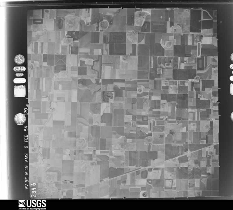
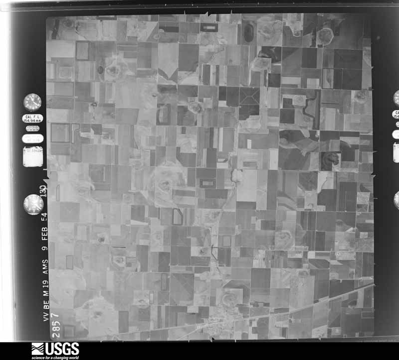
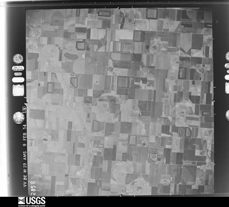
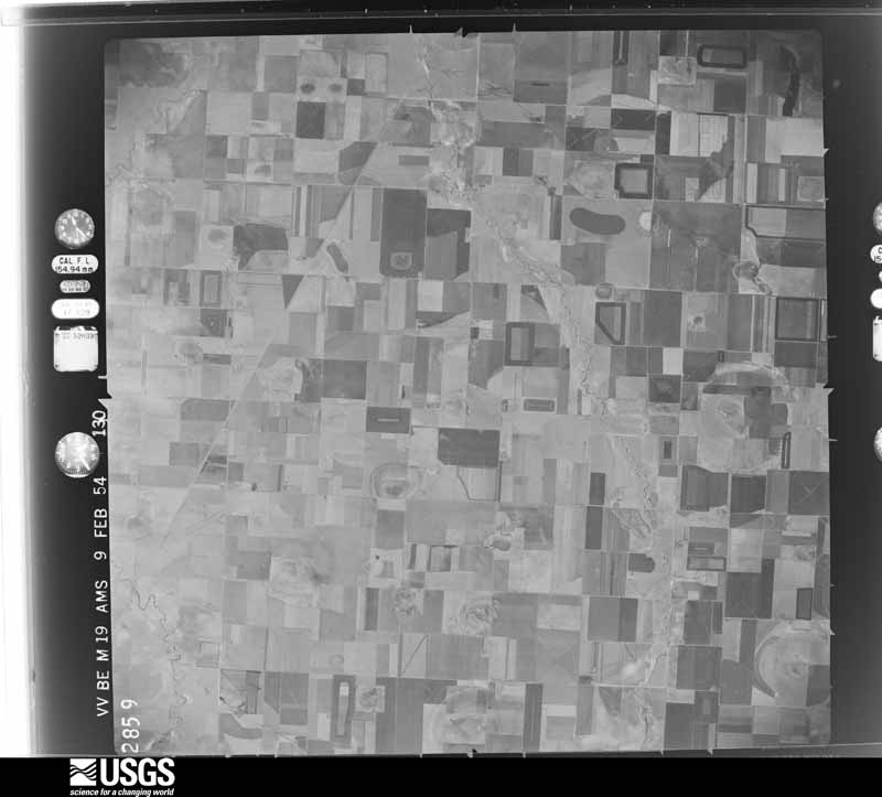
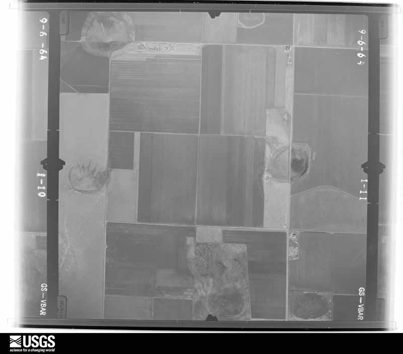
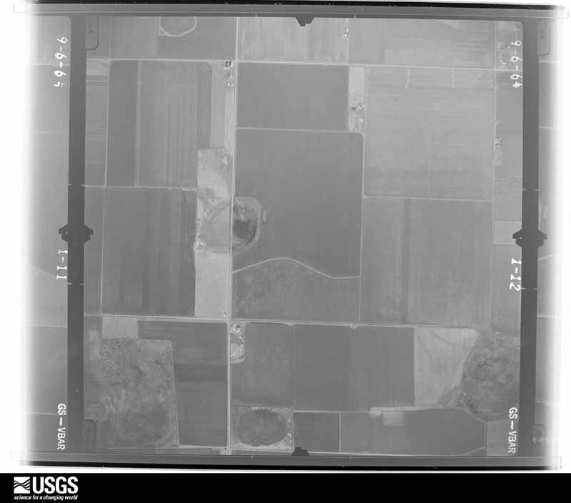
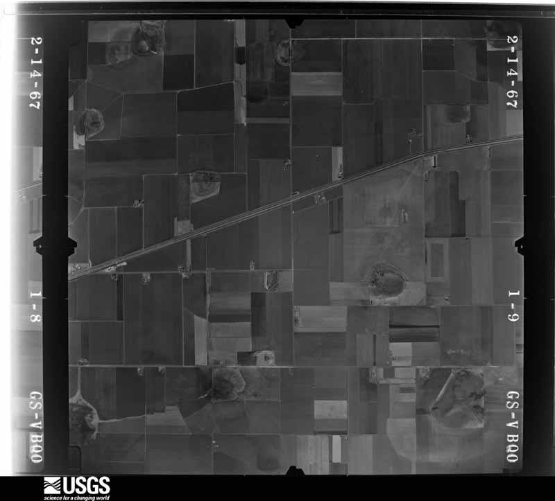
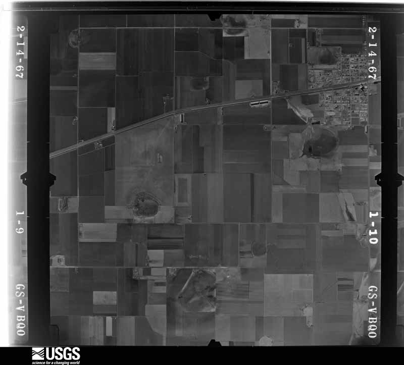
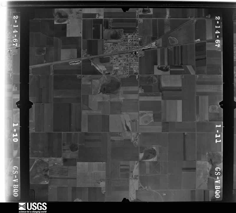
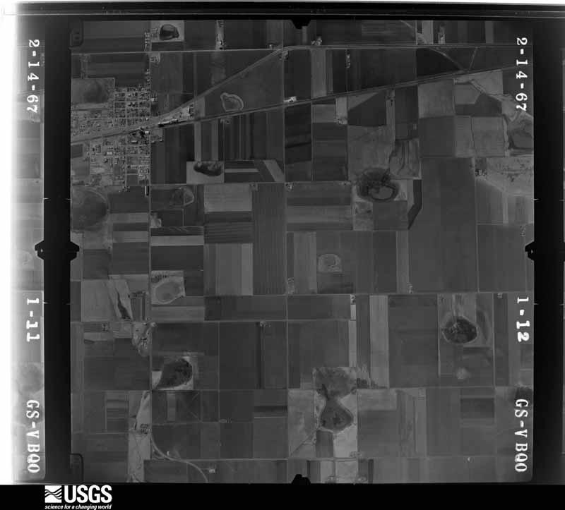
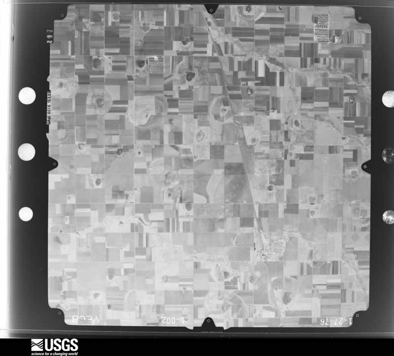
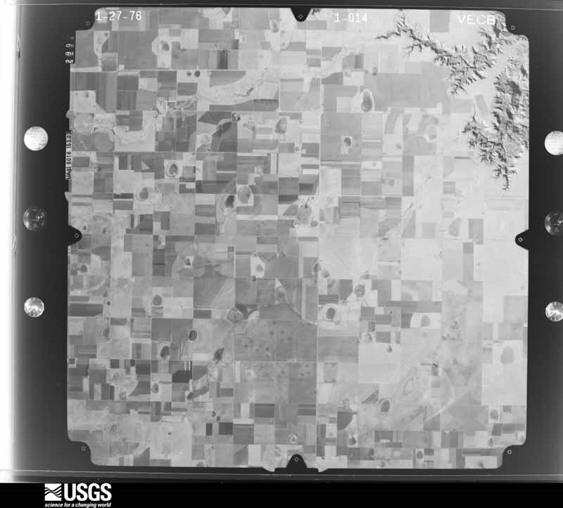
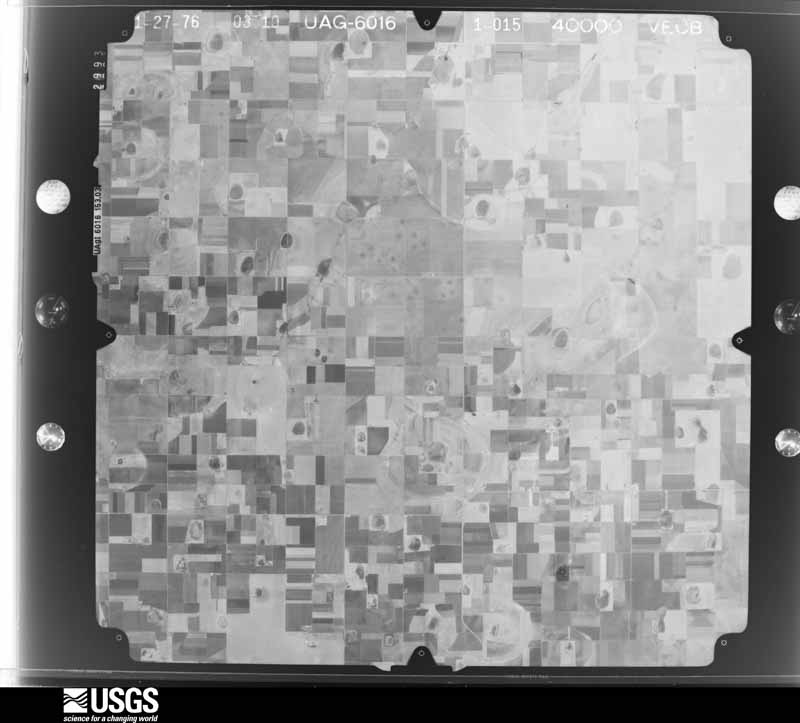
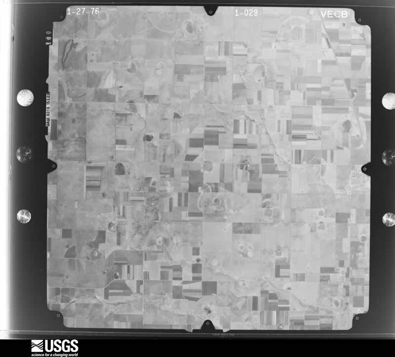
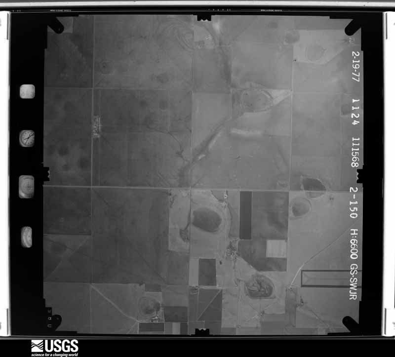
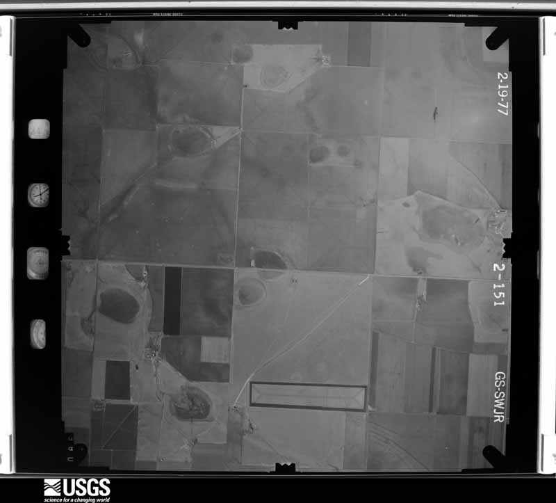
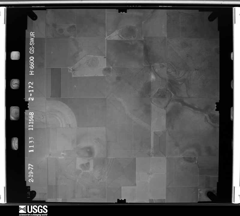
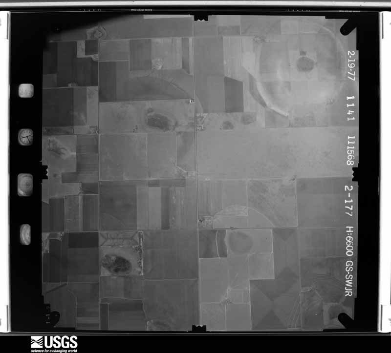
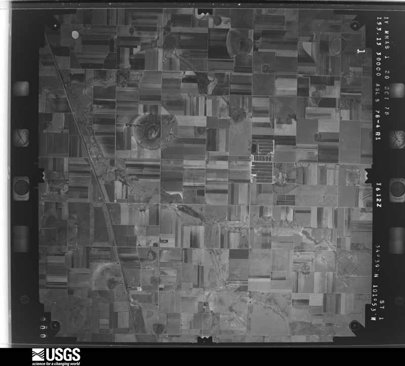
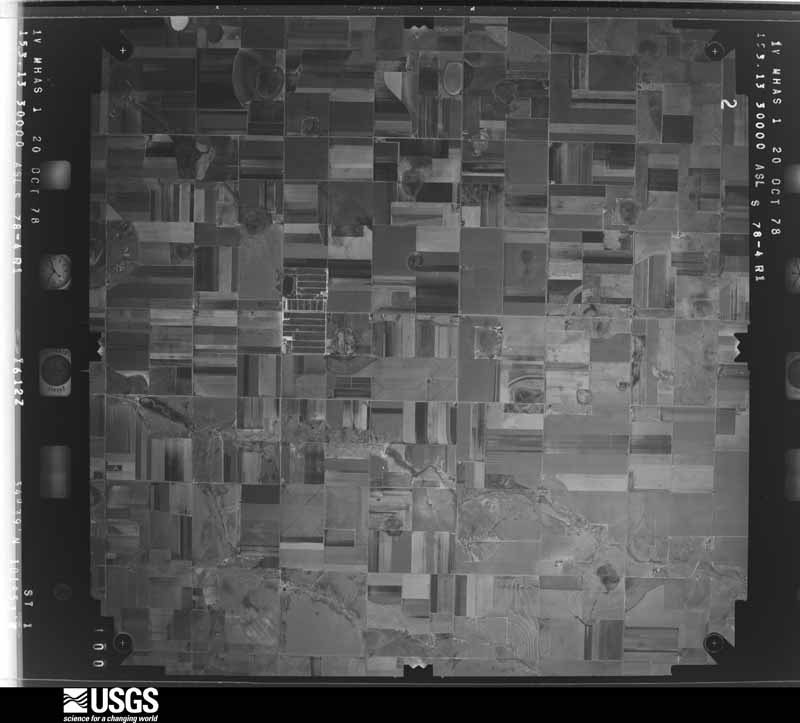
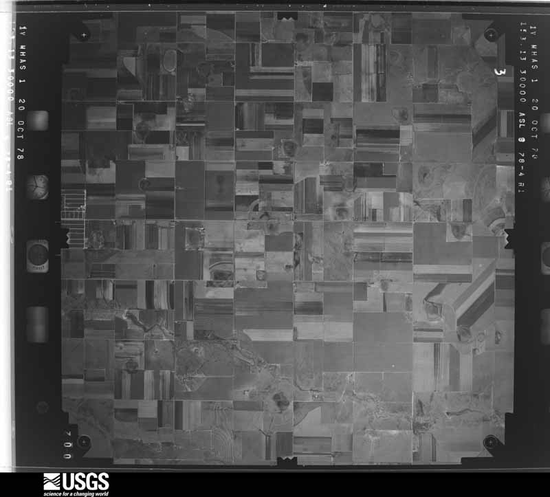
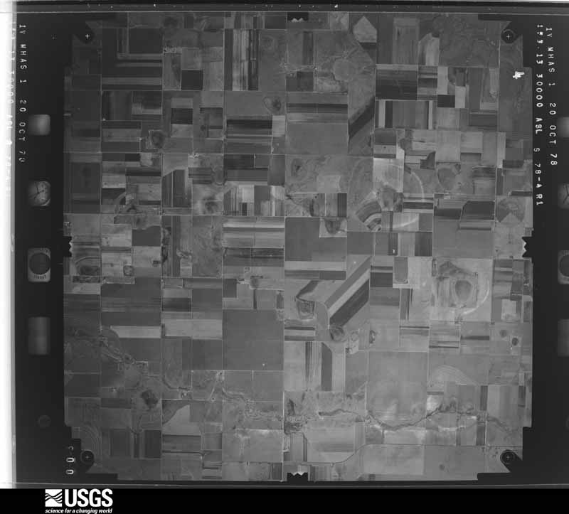
32 shownFlown by the U.S. Geological Survey between 1937 and 1989, the Aerial Photo Single Frames collection is the definitive mid-century view of the land: fields, roads and rivers as the camera saw them. The Survey holds 785 frames inside the rectangle that bounds this county; the 32 frames below were taken over the county itself, chosen across the decades of flights (at most four a year from that rectangle), so one flight cannot crowd out the rest. The full set is free to browse and download at EarthExplorer under the dataset Aerial Photo Single Frames.










Weather records
5 stations, 1 gageThe thermometers that kept this county's weather, and the gages that measured the flow of its streams, as the federal records hold them. The extremes below are measured values from those records, not estimates.
- HAPPY 1894 to 1947, hottest 42.8 C, coldest -25.0 C
- TULIA 6 NE 1896 to 1952, hottest 42.8 C, coldest -30.6 C
- KRESS 1948 to 1951
- TULIA 1948 to 2026, hottest 43.3 C, coldest -24.4 C
- VIGO PARK 2003 to 2026, hottest 43.9 C, coldest -24.4 C
- N Tule Draw at Res nr Tulia, TX 1939 to 1973
The 1950 census, district by district
15 districtsWho lived here in 1950, one enumeration district at a time, as the Census Bureau described each district. Each row opens its official National Archives result, with Population Schedules and ED Maps available there.
- 219-1Justice Precinct 1: Tulia city: Tulia city - That part Bounded by City limits; City limits; City limits; Dallas
- 219-2Justice Precinct 1: Tulia city - That part Bounded by City limits; City limits, Dallas; City limits; S. Maxwell, N. Maxwell
- 219-3Justice Precinct 1: Tulia city - That part Bounded by City limits; N. Maxwell, S. Maxwell; City limits; Donley
- 219-4Justice Precinct 1: Tulia city - That part Bounded by City limits; Donley; Broadway; City limits
- 219-5Justice Precinct 1: Tulia city - That part Bounded by Broadway; Donley; City limits; City limits
- 219-6Justice Precinct 1 - That part east of Panhandle and Santa Fe Railway and north of State Highway 86 and Tule Creek, outside Tulia city
- 219-7Justice Precinct 1 - That part west of Panhandle and Santa Fe Railway, outside Tulia city
- 219-8Justice Precinct 1 - That part east of Panhandle and Santa Fe Railway, and south of State Highway 86 and Tule Creek, outside Tulia city
- 219-9Justice Precinct 2: Justice Precinct 2 - That part east of Panhandle and Santa Fe Railway
- 219-10BN/A
- 219-10AN/A
- 219-11BN/A
- 219-11AN/A
- 219-12Justice Precinct 3 - That part outside Happy town
- 219-13Justice Precinct 4
Wildfire, 2005 to 2020
671 firesEvery wildfire the federal occurrence database records inside this county: 671 of them, burning about 26,095 acres. 71 started naturally and 7 were recorded as arson. Each settlement page carries the fires within five miles of it.
| Reported cause | Fires |
|---|---|
| Missing data/not specified/undetermined | 379 |
| Equipment and vehicle use | 82 |
| Natural | 71 |
| Debris and open burning | 69 |
| Power generation/transmission/distribution | 40 |
| Smoking | 16 |
| Arson/incendiarism | 7 |
| Misuse of fire by a minor | 5 |
| Railroad operations and maintenance | 1 |
| Other causes | 1 |
The five largest, by the area the report gives. None of them was recorded as arson.
| Date | Cause | Size | Reported by | Name on the report |
|---|---|---|---|---|
| 28 February 2017 | Missing data/not specified/undetermined | 2,444 acres | Texas A & M Forest Service | PRISON |
| 24 May 2011 | Missing data/not specified/undetermined | 1,500 acres | Texas A & M Forest Service | TULIA |
| 8 May 2018 | Natural | 1,340 acres | Texas A & M Forest Service | CR 25 & CR 27 |
| 10 September 2011 | Equipment and vehicle use | 1,200 acres | Texas A & M Forest Service | JOHN BROWNING FARM GRASS FIRE |
| 12 March 2006 | Missing data/not specified/undetermined | 1,000 acres | Texas A & M Forest Service | HOPE ROAD FIRE |
| 4 May 2006 | Missing data/not specified/undetermined | 700 acres | Texas A & M Forest Service | not named |
| 1 June 2018 | Missing data/not specified/undetermined | 612 acres | Texas A & M Forest Service | MCCUNE FARM |
| 25 March 2008 | Smoking | 600 acres | Texas A & M Forest Service | not named |
Every settlement page carries the fires within five miles of it - see the settlement index below.
Storms, 1953 to 2025
60 of 461 shownThe NOAA Storm Events Database holds 461 reports for this county, causing 4 deaths, 12 injuries and about $39,507,590 in recorded property damage. Each settlement page carries the reports that name it.
| Kind of event | Reports |
|---|---|
| Hail | 231 |
| Thunderstorm Wind | 127 |
| Tornado | 75 |
| Flash Flood | 15 |
| Flood | 5 |
| Heavy Rain | 4 |
| Funnel Cloud | 2 |
| Lightning | 2 |
The most serious of them, by death, then injury, then recorded damage. The accounts are quoted exactly as the forecast office filed them.
| When | Event | Place named | Harm | What the report says |
|---|---|---|---|---|
| May 2002 | Tornado (F2) | Happy | 2 killed, 4 hurt, $4,000,000 | Storm chaser video indicated that shortly after the large tornado dissipated, another tornado developed just west of town. This tornado tore a 150-yard wide path across the southern part of town. Fifteen homes were destroyed, including at least ten mobile homes, another seventeen received major damage, and eighteen others received minor damage. The storm survey team estimated wind speeds associated with the damage to be in the 115 to 130 mph range. Two fatalities occurred in a mobile home on the southeast side of town; the mobile home was rolled about 50 yards and destroyed. Four injuries also occurred in mobile homes that were in the same area. The church on the west side of town lost 120 feet of its roof and 30 vehicles, including two tractor trailers, were damaged or destroyed. Seventy five utility and telephone poles were snapped. The tornado crossed I-27 and continued to produce significant damage east of town as it struck a home two miles east of Happy on Farm-to-Market Road 1075. Before crossing into southern Randall County about three miles east of Happy, the tornado produced major damage to a second home on Farm-to-Market Road 1075. |
| April 1970 | Tornado (F4) | not stated | 2 killed, $25,000,000 | no account filed |
| June 1964 | Tornado (F2) | not stated | 4 hurt, $2,500 | no account filed |
| April 2007 | Tornado (EF2) | Tulia | 3 hurt, $2,000,000 | A strong tornado delivered a crippling impact on the local economy of Tulia, Texas, when it devastated industrial and residential sections of the small community of 5,000 residents around 19:00 CST on the 21st. A two block wide swath of damage paralleled U.S. Highway 87 in west Tulia for fifteen blocks. Three persons were treated at area hospitals for injuries, almost thirty homes sustained damage or were destroyed along with twenty businesses, and approximately five hundred people were displaced or made homeless.|Local officials and newspaper accounts indicated that several of the businesses that were heavily damaged during the tornado served as staples to the Tulia economy prior to the storm. U.S. President George W. Bush declared Swisher County a federal disaster area on May 1, 2007. |This destructive tornado developed near a power plant at the intersection of Broadway Street and U.S. Highway 87 in west Tulia at 18:57 CST. The tornado moved north and caused extensive damage to a local supermarket at the intersection of U.S. Highway 87 and |Sixth Street. A large portion of the roof was removed on the east side of the structure, and one exterior wall collapsed inward. Smaller sections of two additional exterior walls additionally collapsed. |A local auto dealership, located near the supermarket, also sustained a large amount of structural and inventory damage. Forty-one vehicles were damaged by flying debris, and a motor home on the property was overturned. A large overhead door on the east side of the structure's show room failed, resulting in the failure of the west wall. A large storage container was blown into the southwest corner of the building and caused the partial collapse of the roof.|Several large metal industrial-style buildings sustained major damage due to the failure of large overhead doors and buckling of roof purlins on the south side of the buildings. One such structure collapsed onto a collection of classic cars, and resulted in a $250,000 loss. |Two storm chasers escaped injuries when they were struck by the tornado along the industrial stretch of U.S. Highway 87. Their vehicle was blown into a brick building, and then a tractor-trailer was blown broadside against the chase vehicle.|Damage also was observed to the north and northeast of the industrial area, with severe damage in residential areas including a mobile home community between Eighth and Ninth Streets just west of Highland Elementary School. Five mobile homes were damaged, with two others completely destroyed. |The most significant residential damage occurred in a subdivision along Northwest Ninth Street through Northwest Eleventh Street. Across this area, a number of homes suffered roof losses. Roofs were totally removed from at least two single-family homes on Tenth Street near Airport Road, with partial exterior wall collapses also noted. |The tornado dissipated near the Tulia Municipal Airport at 19:01 CST.|Meteorologists from the National Weather Service in Lubbock, Texas, Texas Tech University, and engineers from numerous private and governmental agencies surveyed the Tulia damage. All indications suggest that the maximum winds with the Tulia tornado were between 125 and 135 mph. This makes the Tulia tornado an EF-2 tornado on the Enhanced Fujita scale for tornado intensity. The total economic loss is estimated at $2.0 million.| |
| October 2004 | Lightning | Tulia | 1 hurt | Tulia Police Department reported to the National Weather Service that a person was struck and injured by a lightning strike at the Tulia feed lot and was later hospitalized but recovered. |
| April 1970 | Tornado (F4) | not stated | $2,500,000 | no account filed |
| April 2015 | Hail | Happy | $1,500,000 | A slow-moving high precipitation supercell produced copious amounts of damaging hail across northern Swisher County with some hailstones as large as baseball size in Happy. A 12-mile stretch of Interstate 27 from Happy to north of Tulia was covered in hail up to six inches deep. In addition to damaging roofs of homes and businesses, intense straight line winds in the rear flank downdraft of the supercell carried hail sideways which shattered many north and west facing windows. Countless vehicles along Interstate 27 suffered broken windows and significant hail dents. It is estimated that 500 acres of winter wheat were flattened by this barrage of hail, wind and torrential rains with 40 percent of the winter wheat crop suffering lesser degrees of damage. Preliminary combined monetary losses are estimated at $4M. |
| April 2009 | Flood | Kress | $500,000 | Thunderstorms began to impact portions of Swisher County just before 13:00 CST on the 16th. These storms quickly became severe and displayed occasional supercellular characteristics as they effectively trained over the Interstate 27 corridor. ||A combination of heavy rainfall and accumulating hail resulted in a prolonged closure of Interstate 27 during the afternoon and overnight hours of the 16th and into the morning of the 17th. The most significant impacts occurred between Kress and Tulia. Up to 50 vehicles became stranded on the interstate as high water and hail covered the driving surface. Some motorists were rescued from their stalled automobiles with the use of boats and fire engines. Up to 5.27 inches of rainfall was measured by the Texas Tech University West Texas Mesonet site near Tulia, and 5.90 inches was measured by the Tulia National Weather Service cooperative observer. Ponded water receded sufficiently from the highway by 07:00 CST on the 17th, and the interstate was re-opened. No serious injuries were reported, but combined damages from hail and floods were estimated near $1 million. |
| April 2009 | Hail | Kress | $500,000 | A supercell thunderstorm which developed over portions of northern Hale and southern Swisher Counties evolved into a small convective complex which effectively trained over Interstate 27. As a result, vast amounts of large hail and very heavy rainfall resulted in dangerous travel conditions.||Hail up to the size of half dollars accumulated to depths greater than half a foot in places along Interstate 27 between Kress and Tulia. The hail combined with nearly six inches of rainfall produced significant flooding. A local law enforcement official was quoted as saying that it was just like an ice jam...it looked like North Dakota, referring to recent national headlines concerning historic ice jam flooding in that state. Newspaper reports indicate that more than 50 vehicles were stranded by hail and high water. Several motorists were rescued from stalled vehicles by boat and fire engines. As a result, local officials were forced to close portions of Interstate 27 until hail and flood waters receded sufficiently around 07:00 CST on the 17th. Combined damages from hail and flood were estimated near $1 million. |
| June 1994 | Hail | Tulia | $500,000 | no account filed |
| May 1994 | Hail | Tulia | $500,000 | no account filed |
| May 1994 | Hail | Tulia | $500,000 | no account filed |
| June 2014 | Thunderstorm Wind | Tulia | $350,000 | A large downburst damaged several power poles across northern Swisher County and blew over a semi-trailer on Interstate 27 near Tulia. It was not known if the driver was injured or not. Also, multiple homes in and around Tulia sustained varying degrees of roof and fence damage. Large swaths of crop damage were also noted to area corn and grain fields, mostly from wind blown sand and dirt. |
| July 2011 | Thunderstorm Wind | Tulia | $150,000 | The Tulia police department reported that power poles were blown down west of Tulia, causing a power outage in the city of Tulia. The strong winds were accompanied by hail. |
| June 2006 | Thunderstorm Wind | Tulia | $150,000 | A severe thunderstorm resulted in a swath of damaging winds from just northeast of Tulia to Vigo Park. The West Texas Mesonet Site near Tulia initially measured a 63 MPH wind gust at 14:05 CST. As the storm and associated severe winds propagated east-northeast, at least twelve utility poles were snapped two miles west of Vigo Park. Two "substantial" barns were destroyed one quarter of a mile west of Vigo Park. |
| April 2001 | Thunderstorm Wind | Happy | $100,000 | Strong thunderstorm wind destroyed two trailer homes, partially removed the roof of a church, blew over two tractor trailers, and produced major damage to a building. An NWS survey suggested wind speeds associated with this damage were about 100 mph. A veteran storm chaser suggested that some of this damage may have been the result of a strong gustnado that briefly spun up on the leading edge of the thunderstorm outflow wind. |
| June 1995 | Hail | Tulia | $100,000 | no account filed |
| May 2019 | Thunderstorm Wind | Vigo Park | $70,000 | A NWS storm survey team found evidence of strong rear flank downdraft winds to the southwest of a rain wrapped tornado near Vigo Park in Swisher County. A metal barn was partially collapsed. Metal roof panels from this barn were blown off of the structure a few yards away. Additionally, a cattle feeder weighing an estimated 2500 pounds was tipped over. Farther to the east in the damage path, 19 wood transmission poles were snapped off. Additionally, a Texas Tech University West Texas mesonet site approximately four miles to the east of the damage swath recorded a wind gust to 69 mph. |
| July 2015 | Hail | Happy | $50,000 | Hail up to golf ball size fell in the town of Happy. Some vehicles and roof shingles were damaged. |
| July 2015 | Hail | Happy | $50,000 | Storm spotters estimated hail of golf ball to baseball size along the Swisher and Randall County line near Happy. Around a dozen vehicles that stopped on Interstate 27 were heavily damaged by the hail. This hail swath continued southeast of Happy where it heavily damaged an estimated 1000 acres of corn. |
| May 2014 | Thunderstorm Wind | Tulia | $50,000 | Emergency management reported sporadic damage induced by severe thunderstorm downburst winds in and around Tulia, including roof damage to a couple of structures and several downed trees with a few falling on vehicles. A semi-truck was blown over on Interstate 27 at mile marker 74 with the driver being treated and released from a nearby hospital. Wind speeds reached up to 62 mph as recorded by the Texas Tech University West Texas Mesonet station in Tulia. |
| May 2009 | Thunderstorm Wind | Kress | $50,000 | Downburst activity was associated with both a hail producing severe storm near Happy and with high-based and weaker convection that extended southward along the Interstate 27 corridor to near Kress. Strong winds and blinding dust reportedly contributed to at least one automobile accident along Interstate 27 near Kress at 16:59 CST. Although two vehicles were involved in the collision, no injuries were reported. The Texas Tech University West Texas Mesonet site near Tulia recorded a 59 mph thunderstorm wind gust at 17:20 CST. In addition, a delayed report was received from a VORTEX II field research project participant who reported that severe thunderstorm winds had downed utility lines along Farm to Market Road 2698 west of Vigo Park. |
| June 2009 | Hail | Tulia | $50,000 | Multiple reports of large hail were received from near Tulia to Vigo Park. Reports indicated that quarter to golfball size hail damaged several vehicles in Tulia between 16:10 CST and 16:25 CST. By 16:37 CST penny size hail was reported in Vigo Park. |
| July 2007 | Hail | Happy | $50,000 | The public reported large hail up to the size of pennies in Happy. The hail was particularly hard, and reports indicated that some minor damage to vehicles did occur. |
| June 2003 | Thunderstorm Wind | Kress | $50,000 | Strong thunderstorm wind blew down power poles, damaged buildings. Strong wind and hail also destroyed crops. |
| October 2003 | Hail | Tulia | $50,000 | Storm spotters affiliated with the Tulia PD reported baseball size hail. Two homes had windows broken as a result of the wind-driven hail. Major roof damage also occurred to a number of homes. |
| May 2002 | Hail | Tulia | $50,000 | The Tulia PD reported golfball size hail. |
| May 1999 | Lightning | Tulia | $50,000 | A lightning strike caused extensive damage to a Tulia house. |
| June 1998 | Hail | Tulia | $50,000 | no account filed |
| June 2012 | Thunderstorm Wind | Kress | $40,000 | The public reported four center pivots overturned in south-central Swisher County. |
| September 2010 | Thunderstorm Wind | Tulia | $30,000 | A severe thunderstorm produced a swath of damaging winds from near Vigo Park to just east of Tulia between 16:30 CST and 16:50 CST. A National Weather Service cooperative observer reported that thunderstorm winds downed four utility poles west of Vigo Park along Farm to Market Road 146 at approximately 16:30 CST. By 16:49 CST, a storm spotter reported that a utility pole had been blown down along U.S. Highway 86 east of Tulia. |
| April 2007 | Hail | Tulia | $30,000 | Skywarn spotters reported very large hail up to the size of tennis balls along Interstate 27 just north-northwest of Tulia. Several vehicles traveling along the interstate were damaged. Also, minor agricultural damage was sustained by young cotton crops. |
| April 2007 | Tornado (EF2) | Kress | $30,000 | A large and long-tracked tornado cut a path of damage twenty-nine miles in length and at times nearly three-quarters of a mile wide across portions of Lamb, Hale, Castro and Swisher Counties between 17:57 and 18:36 CST on the 21st. Total damages from the tornado were estimated to exceed $1.2 million, and one person was injured.|The tornado was in the final stages of its life cycle as it crossed into extreme southwestern Swisher County at 18:33 CST. Storm chasers documented an extended rope-out phase before the tornado finally dissipated over cotton fields in southwestern Swisher County at 18:36 CST. |Reports in local newspapers indicated that at least one center pivot irrigation system was heavily damaged west of Kress.|Damage caused by the tornado east of Olton (Lamb County) supported an EF-2 rating with winds estimated between 110 and 120 mph. |
| April 2007 | Hail | Tulia | $30,000 | Meteorologists from the National Severe Storms Laboratory reported three inch diameter hail along Interstate 27 north-northwest of Tulia. Very large hail in the Tulia area resulted in damage to vehicles traveling along Interstate 27. In addition, minor damage to young cotton crops was reported. |
| June 2014 | Thunderstorm Wind | Kaffir | $25,000 | A downburst toppled around one dozen power poles near Farm-to-Market 1424 and Road K northwest of Tulia. |
| August 2011 | Thunderstorm Wind | Tulia Arpt | $25,000 | The Tulia police department reported power lines blown down near the intersection of TX Highway 86 and FM 1424 west of Tulia. |
| June 2004 | Hail | Happy | $25,000 | Tulia police department reported golfball size hail. |
| May 1999 | Thunderstorm Wind | Kress | $25,000 | Strong thunderstorm wind blew down several poles and damaged six barns. |
| June 1971 | Tornado (F1) | not stated | $25,000 | no account filed |
| May 1957 | Tornado (F3) | not stated | $25,000 | no account filed |
| May 2019 | Thunderstorm Wind | Vigo Park | $20,000 | A NWS storm survey revealed that a microburst completely destroyed a metal barn that was anchored in concrete. This barn was located along Farm to Market Road 1881 between County Roads 20 and 22. Although most of the debris had been cleaned up by the time the storm survey team arrived, the survey team noted that several remaining I-beams had been bent. |
| June 2017 | Thunderstorm Wind | Tulia | $20,000 | A large downburst toppled multiple trees from Tulia to roughly four miles west of Tulia. Some of these trees damaged power lines, fences and structures. The Swisher County Emergency Manager estimated the high winds lasted up to seven minutes. |
| June 2009 | Thunderstorm Wind | Happy | $20,000 | The KVII-TV Schoolnet recorded a thunderstorm wind gust of 59 mph at 18:41 CST. No damage was reported. The parent complex of thunderstorms continued to intermittently produce damaging winds as it propagated south-southeastward over Swisher County. A post-storm survey by Texas Tech University West Texas Mesonet meteorologists discovered several snapped wooden power poles along U.S. Highway 87 north of Kress. |
| February 2001 | Hail | Tulia | $20,000 | The Swisher County Sheriff's office reported dime to golfball size hail in town. |
| May 2001 | Hail | Kress | $20,000 | Tennis ball size hail was reported by a television weathercaster. |
| May 2015 | Hail | Kress | $12,000 | A NWS COOP reported wind-driven hail to 1.25 inches in diameter. The hail broke four large windows in the observer's home. |
| April 2015 | Thunderstorm Wind | Happy | $10,000 | Along with very large hail, damaging rear flank downdraft winds from a high precipitation supercell struck many areas in northern Swisher County. A Texas Tech University West Texas mesonet northeast of Tulia measured a wind gust to 67 mph at 1755 CST. Much of the monetary damage to buildings, vehicles and winter wheat was from the combination of wind and very large hail, although some power lines were downed in the town of Happy as reported by Fire Department officials. The majority of property losses are included in the hail event entry for Swisher County. |
| August 2007 | Thunderstorm Wind | Happy | $10,000 | Fire department officials reported that thunderstorm winds downed large tree limbs up to three inches in diameter and damaged fences. The winds were accompanied by large hail up to the size of quarters. No structural damage was reported. |
| September 2007 | Thunderstorm Wind | Kress | $10,000 | A farmer reported that thunderstorm winds damaged a cotton trailer shortly before 14:25 CST on the 6th when it was blown over near Claytonville. |
| October 2003 | Tornado (F1) | Tulia | $10,000 | A tornado that was tracked by storm chasers and law enforcement officials snapped several power poles. |
| April 2002 | Hail | Vigo Park | $10,000 | The Tulia PD reported golfball size hail. |
| July 1998 | Hail | Tulia | $10,000 | no account filed |
| July 1998 | Thunderstorm Wind | Kress | $10,000 | no account filed |
| June 2012 | Thunderstorm Wind | Tulia Arpt | $8,000 | A partially upkept barn about 11 miles west-southwest of Tulia was destroyed by downburst winds from a severe thunderstorm. About one quarter of the structure remained intact. An NWS storm survey found debris from the barn carried at least one mile southward and fanned outward in a divergent pattern up to 500 yards wide. This pattern of debris is a distinct characteristic of a downburst. In addition, a center pivot on the southwest corner of FM 928 and CR 3 about two miles south-southwest of the barn was flipped over. Winds were determined to be at least 90 mph. |
| September 2013 | Thunderstorm Wind | Tulia | $5,000 | Law enforcement officials reported numerous downed power poles along and near Interstate 27, while storm chasers measured a 69 mph wind gust northwest of Tulia. |
| May 2011 | Thunderstorm Wind | Kress | $5,000 | The public reported that a barn was destroyed by thunderstorm outflow winds near Claytonville. |
| July 2011 | Hail | Tulia | $5,000 | The Tulia police department reported hail ranging from nickel to quarter size in Tulia. The hail was accompanied by severe wind gusts. |
| June 2004 | Thunderstorm Wind | Happy | $5,000 | Fire department reported power lines down. |
| May 1980 | Tornado (F3) | not stated | $2,500 | no account filed |
| May 1980 | Tornado (F3) | not stated | $2,500 | no account filed |
Every populated place in the county
9Named settlements recorded in the Geographic Names Information System, each with the topographic sheets covering it. Villages, hamlets and abandoned places alike. Each is shown with the nearest named watercourse or landform and the survey quadrangle it falls on.
Provenance
- Topographic sheets. USGS Historical Topographic Map Collection, county index, measured from the bulk metadata.
- Fire insurance maps. Library of Congress Sanborn collection, faceted to this county.
- Photographs. Each place queried individually against the Library of Congress Prints and Photographs search.
- Wildfire. Short, Karen C. 2022. Spatial wildfire occurrence data for the United States, 1992-2020 [FPA_FOD_20221014]. 6th Edition. Fort Collins, CO: Forest Service Research Data Archive. https://doi.org/10.2737/RDS-2013-0009.6 Collected with United States Government funding and usable without additional permissions or fees.
- Mines and quarries. USGS Mineral Resources Data System (MRDS) https://mrdata.usgs.gov/mrds/ A work of the United States government, no copyright under 17 U.S.C. 105.
- Storms. NOAA National Centers for Environmental Information, Storm Events Database https://www.ncei.noaa.gov/stormevents/ A work of the United States government, no copyright under 17 U.S.C. 105. Narratives are quoted verbatim from the National Weather Service report and are not edited or summarised.