 Block
BlockBelding, Texas
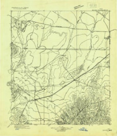
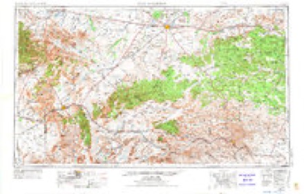
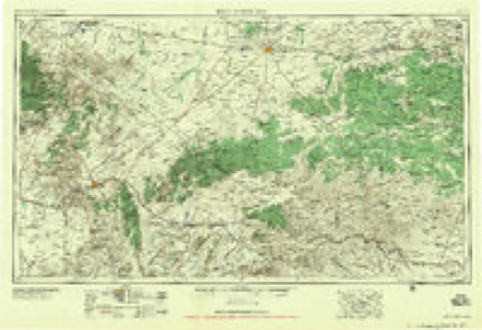
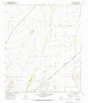
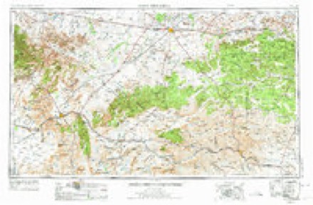
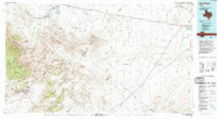
9 topographic sheets cover this place, the earliest surveyed in 1929 and the latest in 1985. It stands in the Fort Stockton census division. It lies in ZIP code area 79735. The Survey maps it on the Belding quadrangle.
Topographic sheets covering this place
6 surveys from 9 printed sheetsMatched by testing this settlement's coordinate against the published boundary of every sheet in the United States Geological Survey's historical collection. Each opens the scanned sheet at the Survey.
- 1929 USGS Hovey quadrangle1:125000
- 1954 USGS Fort Stockton quadrangle1:250000, 3 printings
- 1958 USGS Fort Stockton quadrangle1:250000
- 1970 USGS Belding quadrangle1:24000
- 1973 USGS Fort Stockton quadrangle1:250000
- 1985 USGS Fort Davis quadrangle1:100000, 2 printings
Fires near this place
1 since 2005Regional context, not property-specific evidence. The federal wildfire occurrence database lists 1 fire within 5 miles of Belding in 2005, burning about 1,500 acres in total. None started naturally. None was recorded as arson. Distance is straight-line from the map coordinates, so a fire counted here may appear on a neighbouring settlement's page as well.
| Reported cause | Fires |
|---|---|
| Missing data/not specified/undetermined | 1 |
The most recent of them, most recent first, with the day each was reported and the service that recorded it.
| Date | Cause | Size | Reported by | Name on the report |
|---|---|---|---|---|
| 2 July 2005 | Missing data/not specified/undetermined | 1,500 acres | Texas A & M Forest Service | WEST TX - 8 |
Settlements close enough to share some of these fires:
Storms near this place
60 since 1996Regional context, not property-specific evidence. The National Weather Service names Belding in 60 storm reports between 1996 and 2025: 38 hail, 10 thunderstorm wind, 9 flash flood, 3 tornado. No death or injury is recorded in these reports. Each account below is quoted exactly as the forecast office filed it, from the NOAA Storm Events Database, and each date opens the federal record of that event.
| When | Event | Place named | Harm | What the report says |
|---|---|---|---|---|
| May 2019 | Thunderstorm Wind | Belding | $100,000 | A thunderstorm moved across Pecos County and produced thunderstorm damage in Belding. There were about 15 power poles knocked down, a metal roof was blown off of a building, and multiple hay barns collapsed on a local farm. A storm survey was done and it is estimated that the winds ranged from 85 to 100 mph. The cost of damage is a very rough estimate. |
| June 2002 | Thunderstorm Wind | Belding | $40,000 | Local law officials reported that severe thunderstorm winds blew down six power poles, along with destroying half of the roof on a residence. |
| June 2014 | Flash Flood | Belding | $5,000 | Heavy rain moved across Pecos County and produced flash flooding about 15 miles south of Fort Stockton. There was water one foot deep crossing U.S. Highway 385. No damage was reported, so the cost of damage is a very rough estimate. |
| June 2014 | Flash Flood | Belding | $5,000 | Heavy rain moved across Pecos County and produced flash flooding about 19 miles south of Fort Stockton. There was water one foot deep crossing U.S. Highway 385. No damage was reported, so the cost of damage is a very rough estimate. |
| April 2017 | Hail | Belding | $4,000 | A thunderstorm moved across Pecos County and produced hail damage west of Fort Stockton. There were several vehicles with broken windshields along I-10 from 12 to 23 miles west of Fort Stockton. Damage costs are a rough estimate. |
| June 2010 | Flash Flood | Belding | $3,000 | The local law enforcement reported 3.5 to 4 feet of standing water along US 385, 24 miles south of Fort Stockton. Several cars were stranded due to the high water. |
| May 2024 | Tornado (EF2) | Belding | $2,000 | Results from this survey indicated that a tornado began just east of US Highway 35 south of Fort Stockton in rural central Pecos County. This tornado was documented by numerous observers, quickly developing into a photogenic stovepipe before becoming increasingly wrapped in rain. The tornado slowly moved southeast, before completely wrapping in rain and likely dissipating. This tornado occurred over mainly open terrain only causing damage to vegetation and a few wooden electrical power poles in the area. This tornado was rated as a mid-range EF-2 with maximum wind speeds of 125 MPH given the degree of damage to these wooden power poles which were snapped cleanly near the base. Property damage cost amount is an estimation. |
| May 2015 | Flash Flood | Belding | $200 | Heavy rain fell across Pecos County and produced flash flooding west of Fort Stockton. Six to eight inches of water was flowing over the access road at Interstate 10 at mile marker 235. The cost of damage is a very rough estimate. |
| June 2025 | Thunderstorm Wind | Belding | - | A maximum wind gust of 59 MPH was recorded at the Texas Water Development Board station, TWB23 12.1 SE Belding. |
| June 2025 | Flash Flood | Belding | - | Pecos County Emergency Manager reported approximately one foot of water over Highway 385 at Six Shooter Draw. Duration is estimated from radar and reports. |
| June 2025 | Thunderstorm Wind | Belding | - | A thunderstorm wind gust of 72 mph was recorded by the Belding West Texas Mesonet station. |
| June 2025 | Thunderstorm Wind | Belding | - | The West Texas Mesonet Station at Belding measured a 60 mph wind gust. |
| July 2025 | Thunderstorm Wind | Belding | - | The West Texas Mesonet station 3 NNW Belding measured a 59 mph wind gust. |
| June 2024 | Hail | Belding | - | Golf ball size hail was reported at FM 2036 and Spur 194. |
| June 2023 | Hail | Belding | - | Quarter-size hail was reported via mPing. |
| June 2023 | Hail | Belding | - | Quarter to golf ball-size hail was reported by a trained spotter. |
| June 2023 | Hail | Belding | - | Report of hail via mPing. |
| August 2023 | Flash Flood | Belding | - | Numerous low-water crossings flooded along US Highway 385 south of Fort Stockton. |
| October 2023 | Hail | Belding | - | Belding mesonet land owner reports half-dollar size hail at the mesonet. |
| April 2017 | Hail | Belding | - | Golf ball size hail was covering the road. |
| April 2017 | Hail | Belding | - | A thunderstorm moved across Pecos County and there was golf ball size hail covering I-10 at mile marker 246 west of Fort Stockton. |
| May 2015 | Tornado (EF0) | Belding | - | A thunderstorm moved across Pecos County and produced a tornado about 20 miles northwest of Belding. It was described as a rain-wrapped tornado in a rural area. The time on the ground, path length, and path width were estimated. There was no damage reported so the tornado was rated as an EF-0. |
| May 2015 | Hail | Belding | - | A thunderstorm moved across Pecos County and produced quarter to golfball sized hail at the Firestone Test Track. |
| May 2015 | Tornado (EF0) | Belding | - | A thunderstorm moved across Pecos County and produced a brief tornado about 22 miles northwest of Belding. The time that the tornado was on the ground is an estimate as well as the distance traveled and the path width. There was no damage reported so the tornado was rated as an EF-0. |
| May 2015 | Hail | Belding | - | A thunderstorm moved across Pecos County and produced golf ball sized hail along I-10 at exit 237. |
| May 2008 | Hail | Belding | - | Nickel sized hail was reported along I-10 near mile marker 244. |
| June 2008 | Hail | Belding | - | Quarter sized hail was reported at a Texas Detention Center in Belding. |
| March 2006 | Hail | Belding | - | The Pecos County Sheriff's Office reported penny to nickel size hail falling in Belding. |
| March 2006 | Hail | Belding | - | Quarter size hail covered the ground in Belding. |
| March 2006 | Hail | Belding | - | Penny to golfball size hail fell in and around Fort Stockton. |
| May 2004 | Flash Flood | Belding | - | Prison officials reported high water caused by flash flooding over Farm to Market Road 2037 from one half mile south of Belding to the Lynbaugh Prison Unit northeast of Belding. |
| April 2004 | Flash Flood | Belding | - | Thunderstorms that moved across Pecos County produced flash flooding over the central and northeastern portions of the county. The Old Alpine Highway (U.S. Highway 67) was closed between Fort Stockton and Belding. Additionally, U.S. Highway 285 between Fort Stockton and Sanderson was closed. During the event, a sheriff deputy's vehicle and a truck stalled in high water. This resulted in two high water rescues. In addition, several homes were flooded on the southeast side of Fort Stockton, and residents were relocated to temporary shelters. The hardest hit areas in the city were the neighborhoods around James Rooney Memorial Park. Comanche Creek, which runs through the park, ran well out of its banks as can be seen in the above photo. |
| May 2004 | Hail | Belding | - | Residents of Belding reported extended periods of pea size hail between the hours of 14:00 to 17:00 CST, as multiple strong thunderstorms trained over the community. One storm strengthened to severe levels and produced quarter size hail. |
| June 2004 | Hail | Belding | - | Large hail was reported in Belding. |
| June 2004 | Hail | Belding | - | A rural resident reported penny to nickel size hail in western Pecos County. |
| July 2004 | Flash Flood | Belding | - | An Alpine radio station reported flash flooding that made U.S. Highway 67 impassable due to high water on the Pecos and Brewster County line near Hovey. |
| September 2002 | Thunderstorm Wind | Belding | - | Local law officials reported large trees blown down by thunderstorm winds. |
| January 2024 | Thunderstorm Wind | Belding | - | no account filed |
| May 2024 | Hail | Belding | - | no account filed |
| May 2024 | Hail | Belding | - | no account filed |
| May 2024 | Hail | Belding | - | no account filed |
| June 2024 | Thunderstorm Wind | Belding | - | no account filed |
| June 2023 | Thunderstorm Wind | Belding | - | no account filed |
| May 2022 | Hail | Belding | - | no account filed |
| May 2022 | Hail | Belding | - | no account filed |
| May 2022 | Hail | Belding | - | no account filed |
| May 2020 | Hail | Belding | - | no account filed |
| May 2019 | Hail | Belding | - | no account filed |
| June 2017 | Hail | Belding | - | no account filed |
| June 2017 | Hail | Belding | - | no account filed |
| May 2015 | Hail | Belding | - | no account filed |
| May 2015 | Hail | Belding | - | no account filed |
| June 2012 | Hail | Belding | - | no account filed |
| April 2011 | Hail | Belding | - | no account filed |
| June 2010 | Hail | Belding | - | no account filed |
| June 2009 | Hail | Belding | - | no account filed |
| April 2007 | Hail | Belding | - | no account filed |
| June 2007 | Hail | Belding | - | no account filed |
| June 1997 | Hail | Belding | - | no account filed |
| May 1996 | Hail | Belding | - | no account filed |
Nearest settlements
The eight closest, with where each one stands in the county. Distances are straight-line, computed from the Geographic Names Information System coordinates.
| Map | Place | Distance | Sheets |
|---|---|---|---|
| Alamo Ranchettes Colonia | 7.9 miles | 11 | |
| Smith Place | 10.0 miles | 9 | |
| Chancellor | 10.4 miles | 9 | |
| Fort Stockton | 10.5 miles | 11 | |
| Bodieville Colonia | 11.5 miles | 11 | |
| Little Mexico Colonia | 11.7 miles | 11 | |
| Guild | 13.9 miles | 11 | |
| Baldridge | 27.0 miles | 8 |
Provenance
This settlement is recorded in the Geographic Names Information System as feature 1351811. The sheet list is computed by point-in-boundary test against the United States Geological Survey's historical topographic inventory. Both are works of the United States government and carry no copyright under 17 U.S.C. 105.
Wildfire. Short, Karen C. 2022. Spatial wildfire occurrence data for the United States, 1992-2020 [FPA_FOD_20221014]. 6th Edition. Fort Collins, CO: Forest Service Research Data Archive. https://doi.org/10.2737/RDS-2013-0009.6 Collected with United States Government funding and usable without additional permissions or fees.
Storms. NOAA National Centers for Environmental Information, Storm Events Database https://www.ncei.noaa.gov/stormevents/ A work of the United States government, no copyright under 17 U.S.C. 105. Narratives are quoted verbatim from the National Weather Service report and are not edited or summarised.