 Block
BlockChancellor, Texas
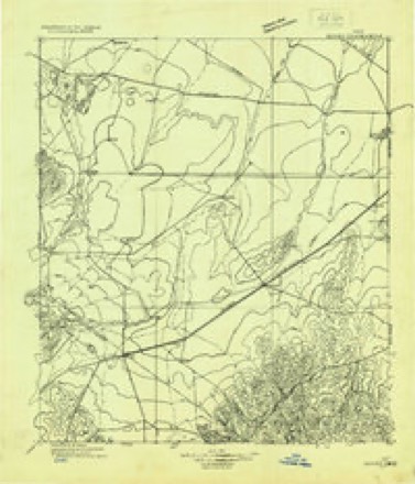
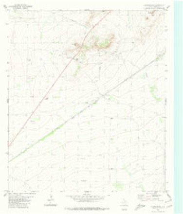
9 topographic sheets cover this place, the earliest surveyed in 1929 and the latest in 1985. It stands in the Fort Stockton census division. It lies in ZIP code area 79735. The Survey maps it on the Chancellor quadrangle.
Topographic sheets covering this place
6 surveys from 9 printed sheetsMatched by testing this settlement's coordinate against the published boundary of every sheet in the United States Geological Survey's historical collection. Each opens the scanned sheet at the Survey.
- 1929 USGS Hovey quadrangle1:125000
- 1954 USGS Fort Stockton quadrangle1:250000, 3 printings
- 1958 USGS Fort Stockton quadrangle1:250000
- 1973 USGS Fort Stockton quadrangle1:250000
- 1980 USGS Chancellor quadrangle1:24000
- 1985 USGS Fort Davis quadrangle1:100000, 2 printings
Fires near this place
1 since 2006Regional context, not property-specific evidence. The federal wildfire occurrence database lists 1 fire within 5 miles of Chancellor in 2006, burning about 1 acre in total. None started naturally. None was recorded as arson. Distance is straight-line from the map coordinates, so a fire counted here may appear on a neighbouring settlement's page as well.
| Reported cause | Fires |
|---|---|
| Railroad operations and maintenance | 1 |
The most recent of them, most recent first, with the day each was reported and the service that recorded it.
| Date | Cause | Size | Reported by | Name on the report |
|---|---|---|---|---|
| 4 May 2006 | Railroad operations and maintenance | 1.0 acres | Texas A & M Forest Service | OLD ALPINE HIGHWAY FIRE |
Storms near this place
16 since 2010Regional context, not property-specific evidence. The National Weather Service names Chancellor in 16 storm reports between 2010 and 2025: 7 hail, 5 thunderstorm wind, 2 tornado, 2 flash flood. No death or injury is recorded in these reports. Each account below is quoted exactly as the forecast office filed it, from the NOAA Storm Events Database, and each date opens the federal record of that event.
| When | Event | Place named | Harm | What the report says |
|---|---|---|---|---|
| June 2024 | Thunderstorm Wind | Chancellor | $25,000 | Two 18-wheelers were reported to have flipped on I-10 between mile markers 235 and 238. The time is estimated from radar. Wind gust speed and property damage cost are estimations. |
| April 2025 | Thunderstorm Wind | Chancellor | $20,000 | Pecos County Emergency Manager reported a broken wooden power pole and a damaged heavy-duty windmill. The damage direction was to the south, with no damage to nearby objects. A separate storm chaser photograph of the thunderstorm during the estimated damage time supports straight-line wind damage from the supercell's rear-flanking downdraft. Wind speeds were estimated to be 80 MPH. The time and amount of property damage are estimates. |
| May 2010 | Thunderstorm Wind | Chancellor | $16,000 | Eight power poles were knocked over/snapped by the wind gust. |
| September 2018 | Flash Flood | Chancellor | $3,000 | Heavy rain fell across Pecos County and produced flash flooding 29 miles west of Fort Stockton. There was a high water rescue on the service road along I-10 at mile marker 229. The cost of damage is a very rough estimate. |
| May 2025 | Thunderstorm Wind | Chancellor | - | The Texas Water Development Board Mesonet station TWB24 recorded a 71 mph wind gust 5.3 miles northeast of Hovey. |
| May 2025 | Flash Flood | Chancellor | - | A video was received from the public showing flash flooding on the southbound lane of Highway 67. Time is estimated by radar. Location is also estimated. No damage was reported. |
| April 2025 | Thunderstorm Wind | Chancellor | - | A maximum wind gust of 65 MPH was observed at the Texas Water Development Board site, TWB24 Escalera Flat Farm. This was in association with a severe thunderstorm in the area. The time is estimated from radar data and observations. |
| April 2025 | Hail | Chancellor | - | A storm chaser reported penny size hail along FM2037. Time is estimated from radar. |
| May 2010 | Tornado (EF0) | Chancellor | - | At 1536 CST, a tornado was confirmed by trained spotters about 22 miles west of Fort Stockton. The tornado then tracked south southeast for about 4 minutes, and was spotted by local law enforcement. It was determined by a damage survey, and several spotter reports, that the tornado dissipated around 1549 CST. Only minor damage was done to vegetation by this tornado. Please see the photos of the tornado taken by the spotters. |
| May 2010 | Tornado (EF0) | Chancellor | - | A trained weather spotter reported a tornado at 1715 CST about 18 miles west southwest of Fort Stockton. No damage was reported with this weak brief touchdown. |
| June 2023 | Hail | Chancellor | - | no account filed |
| May 2021 | Hail | Chancellor | - | no account filed |
| May 2020 | Hail | Chancellor | - | no account filed |
| May 2015 | Hail | Chancellor | - | no account filed |
| May 2010 | Hail | Chancellor | - | no account filed |
| May 2010 | Hail | Chancellor | - | no account filed |
Nearest settlements
The eight closest, with where each one stands in the county. Distances are straight-line, computed from the Geographic Names Information System coordinates.
| Map | Place | Distance | Sheets |
|---|---|---|---|
| Smith Place | 4.7 miles | 9 | |
| Belding | 10.4 miles | 9 | |
| Alamo Ranchettes Colonia | 18.3 miles | 11 | |
| Fort Stockton | 20.9 miles | 11 | |
| Bodieville Colonia | 22.0 miles | 11 | |
| Little Mexico Colonia | 22.1 miles | 11 | |
| Guild | 24.1 miles | 11 | |
| Baldridge | 37.4 miles | 8 |
Provenance
This settlement is recorded in the Geographic Names Information System as feature 1379532. The sheet list is computed by point-in-boundary test against the United States Geological Survey's historical topographic inventory. Both are works of the United States government and carry no copyright under 17 U.S.C. 105.
Wildfire. Short, Karen C. 2022. Spatial wildfire occurrence data for the United States, 1992-2020 [FPA_FOD_20221014]. 6th Edition. Fort Collins, CO: Forest Service Research Data Archive. https://doi.org/10.2737/RDS-2013-0009.6 Collected with United States Government funding and usable without additional permissions or fees.
Storms. NOAA National Centers for Environmental Information, Storm Events Database https://www.ncei.noaa.gov/stormevents/ A work of the United States government, no copyright under 17 U.S.C. 105. Narratives are quoted verbatim from the National Weather Service report and are not edited or summarised.