 Block
BlockEstelline, Texas
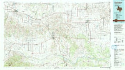
9 topographic sheets cover this place, the earliest surveyed in 1954 and the latest in 1986. It stands in the Estelline census division. It lies in ZIP code area 79233. The Survey maps it on the Estelline quadrangle. 121 people lived here at the 2020 count. It stands 1,834 feet above sea level.
Population over time
2 figuresEstelline fell from 145 to 121 between 2010 and 2020. These are the recorded population figures Wikidata holds for this place, reached through the Geographic Names Information System number this page is keyed on rather than by name, so they belong to this place and not to another of the same name. Most are census counts, but not all are: an early figure may be a founding or settlement estimate, and an estimate published within five years of a census is left out. The change column is computed, and is left blank where more than 20 years separate a figure from the one before it, because a gap that long is not a change between two counts.
| Year | People | Change |
|---|---|---|
| 2010 | 145 | |
| 2020 | 121 | -24 (-17%) |
Topographic sheets covering this place
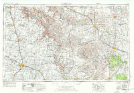
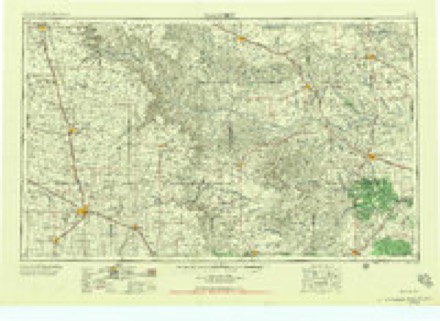
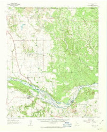
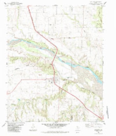
5 surveys from 9 printed sheetsMatched by testing this settlement's coordinate against the published boundary of every sheet in the United States Geological Survey's historical collection. Each opens the scanned sheet at the Survey.
- 1954 USGS Plainview quadrangle1:250000, 3 printings
- 1958 USGS Plainview quadrangle1:250000
- 1961 USGS Estelline quadrangle1:62500, 2 printings
- 1985 USGS Estelline quadrangle1:24000
- 1986 USGS Wellington quadrangle1:100000, 2 printings
Fires near this place
24 since 2007Regional context, not property-specific evidence. The federal wildfire occurrence database lists 24 fires within 5 miles of Estelline between 2007 and 2020, burning about 1,566 acres in total. 4 started naturally. None was recorded as arson. Distance is straight-line from the map coordinates, so a fire counted here may appear on a neighbouring settlement's page as well.
| Reported cause | Fires |
|---|---|
| Missing data/not specified/undetermined | 9 |
| Equipment and vehicle use | 5 |
| Natural | 4 |
| Power generation/transmission/distribution | 3 |
| Smoking | 1 |
| Railroad operations and maintenance | 1 |
| Debris and open burning | 1 |
The most recent of them, most recent first, with the day each was reported and the service that recorded it.
| Date | Cause | Size | Reported by | Name on the report |
|---|---|---|---|---|
| 9 August 2011 | Natural | 1.0 acres | Texas A & M Forest Service | ESTELLINE CORD 31 |
| 21 August 2010 | Natural | 10 acres | Texas A & M Forest Service | BRADLEY RANCH #2 |
| 12 August 2019 | Natural | 300 acres | Texas A & M Forest Service | CURTIS SCRIVNER |
| 6 July 2016 | Equipment and vehicle use | 10 acres | Texas A & M Forest Service | GRASS FIRE |
| 26 July 2011 | Railroad operations and maintenance | under an acre | Texas A & M Forest Service | 10 SOUTH 287 R&R |
| 10 July 2020 | Natural | 204 acres | Texas A & M Forest Service | PARKER CREEK |
| 24 June 2010 | Missing data/not specified/undetermined | under an acre | Texas A & M Forest Service | RED RIVER BRIDGE 287 |
| 21 May 2014 | Debris and open burning | 2.0 acres | Texas A & M Forest Service | NEWLIN TREES |
Settlements close enough to share some of these fires:
Storms near this place
59 since 1995Regional context, not property-specific evidence. The National Weather Service names Estelline in 59 storm reports between 1995 and 2023: 38 hail, 18 thunderstorm wind, 2 tornado, 1 flash flood. The reports record 5 injuries. Each account below is quoted exactly as the forecast office filed it, from the NOAA Storm Events Database, and each date opens the federal record of that event.
| When | Event | Place named | Harm | What the report says |
|---|---|---|---|---|
| March 2007 | Thunderstorm Wind | Estelline | 4 hurt, $250,000 | A large damage swath began one mile west of Estelline just north of Texas Highway 86, where a center pivot irrigation system was destroyed. An 18-wheeler tractor-trailer was additionally overturned on the south side of the highway. |The damage extended eastward into the west side of Estillene. A mobile home was rolled toward the east, with part of the structure suspended in a tree and the remainder rested on top of two vehicles. A family of four all sustained minor injuries as the trailer was destroyed by the winds. Other light weight medal sheds and travel trailers also were damaged as the severe winds spread eastward then northeastward across the city. |
| July 2016 | Thunderstorm Wind | Estelline | 1 hurt, $15,000 | A traveling downburst blew over two semis traveling on Highway 287. One semi was overturned one mile southeast of Estelline, and the other about five miles north of the city. One of the semi drivers was treated for minor cuts. This same downburst snapped a few utility poles about one mile west of Estelline along Highway 86. |
| July 2011 | Thunderstorm Wind | Estelline | $200,000 | Texas DPS reported widespread damage in Estelline. Roofs were blown off homes and numerous trees were blown down. Additionally, numerous out buildings were severely damaged. Hail also accompanied the strong winds. |
| May 2018 | Hail | Estelline | $100,000 | Numerous reports of hail up to golf ball size fell around US Highway 287 from north of Estelline to southeast of Estelline. Many vehicles were damaged due to large hail in Estelline. |
| May 2018 | Thunderstorm Wind | Estelline | $100,000 | A Texas Tech University West Texas mesonet measured a wind gust to 68 mph. Furthermore, several reports of wind damage were received from Estelline including shed and tree damage. |
| September 2010 | Thunderstorm Wind | Estelline | $75,000 | Local officials reported that a portion of the roof was blown off of the Estelline City Hall by damaging thunderstorm winds. No additional structural damage was reported and no injuries were reported. |
| July 2009 | Thunderstorm Wind | Estelline | $75,000 | An abandoned brick building suffered significant wind damage in Estelline. Severe thunderstorm winds struck the community around 21:30 CST, and caused a structure's brick wall to collapse. No injuries were reported. |
| July 2011 | Hail | Estelline | $50,000 | A NWS storm survey revealed that hail to the size of golf balls fell in Estelline. The hail was accompanied by severe wind gusts. |
| May 2018 | Thunderstorm Wind | Estelline | $30,000 | A Texas Tech University West Texas mesonet site near Estelline measured a wind gust to 68 mph. At approximately the same time, an 18-wheeler was blown over on US Highway 287 near Estelline shutting down the northbound lanes. It was also reported that several trees were blown over or damaged in and around Estelline. A downed power pole was observed along Farm to Market Road 658 near US Highway 287. |
| June 2008 | Hail | Estelline | $25,000 | Baseball size hail caused roof and automobile damage at a ranch in central Hall County. |
| March 2007 | Tornado (EF1) | Estelline | $25,000 | A National Weather Service damage survey and witnesses indicated that a brief tornado developed near the center of Estelline. Tornadic winds estimated near 90 mph, along with a rapid onset of intense westerly winds associated with the ongoing downburst, resulted in the total collapse of two brick buildings. These structures were aged and abandoned businesses. Residents that were in the downtown area at the time of the storm reported intense easterly wind gusts that blew in doors and windows. Strong easterly inflow was additionally evidenced by the destruction of a trailer house just east of the town's center. |
| July 2016 | Thunderstorm Wind | Estelline | $20,000 | A NWS cooperative weather observer reported that a roof was removed from a barn due to high winds. |
| May 2006 | Hail | Estelline | $15,000 | Reports from multiple sources indicated that large hail, occasionally up to the size of baseballs, accompanied a supercell thunderstorm as it propagated southeastward from near Brice to near Estelline. Reports of golfball size hail was common along the hail swath. Giant baseball size hail damaged vehicles and resulted in at least minor roof damage near Estelline. The storm eventually produced a significant tornado in Childress. |
| May 2001 | Hail | Estelline | $10,000 | A storm spotter reported golfball size hail on Farm-to-Market Road 94. |
| June 2017 | Thunderstorm Wind | Estelline | $5,000 | A semi-truck was blown over along Highway 287 near the Hall and Childress County line. The driver was unharmed. |
| July 1996 | Thunderstorm Wind | Estelline | $1,000 | no account filed |
| July 2023 | Thunderstorm Wind | Estelline | - | A Texas Tech University West Texas mesonet site near Estelline measured a wind gust to 59 mph. |
| April 2021 | Hail | Estelline | - | An emergency manager reported hail up to two inches in diameter about eight miles south of Estelline. No damage was reported. |
| May 2020 | Hail | Estelline | - | A county official measured quarter size hail three miles south of Estelline. |
| July 2020 | Hail | Estelline | - | A trained spotter in Estelline reported quarter size hail. |
| August 2020 | Thunderstorm Wind | Estelline | - | A Texas Tech University West Texas mesonet site near Estelline measured a peak wind gust to 69 mph at 1615 CST. Intermittent severe wind gusts were measured from 1615 through 1618 CST. |
| August 2020 | Hail | Estelline | - | A trained spotter reported quarter size hail about three miles south of Estelline. |
| August 2019 | Thunderstorm Wind | Estelline | - | A Texas Tech University West Texas mesonet site near Estelline measured a wind gust to 59 mph. |
| May 2018 | Hail | Estelline | - | Hail up to quarter size was reported west of Estelline. |
| May 2018 | Hail | Estelline | - | A trained spotter reported hail between golf ball and lemon size. |
| May 2018 | Flash Flood | Estelline | - | A storm chaser reported water flowing across Farm to Market Road 658 south of US Highway 287. |
| June 2017 | Thunderstorm Wind | Estelline | - | Some tree branches were broken. |
| April 2017 | Hail | Estelline | - | A citizen reported hail to the size of ping pong balls. No damage was reported. |
| May 2016 | Hail | Estelline | - | A trained spotter reported hail up to the size of golf balls south of Estelline. No damage was reported. |
| April 2016 | Hail | Estelline | - | The public reported hail up to the size of quarters about three miles south of Estelline. |
| April 2016 | Thunderstorm Wind | Estelline | - | The public reported several tree limbs downed by strong winds estimated to be around 60 mph. |
| April 2014 | Hail | Estelline | - | No damage accompanied the hail. |
| May 2013 | Hail | Estelline | - | Half dollar size hail was reported by a SKYWARN spotter west of Estelline. |
| February 2013 | Hail | Estelline | - | The public reported numerous pea sized hail stones with a few stones up to one inch in diameter. No damage was reported. |
| August 2013 | Hail | Estelline | - | A SKYWARN spotter observed golf ball size hail west of Estelline. No damage or injuries were reported. |
| May 2012 | Hail | Estelline | - | Law enforcement estimated golfball size hail on US Highway 287 near the Hall and Childress County line. No damage was reported. |
| April 2012 | Hail | Estelline | - | The public estimated golfball size hail in Estelline. No damage was reported. |
| May 2010 | Hail | Estelline | - | Fre department officials reported golfball size hail along U.S. Highway 287 north of Estelline at 16:00 CST. As additional cells developed along the southern flank of the original storm, additional reports of nickel size hail were received along Farm to Market Road 658 south of Estelline. No damages were reported. |
| June 2009 | Hail | Estelline | - | The public reported golfball size hail south of Estelline along Farm to Market Road 658. No damage was reported. |
| June 2008 | Hail | Estelline | - | Local law enforcement officials reported quarter size hail in Estelline. |
| June 2007 | Hail | Estelline | - | The public reported nickel size hail just south of Estelline. |
| April 2006 | Hail | Estelline | - | Dime to nickel size hail was reported along Texas Farm to Market Road 86 west of Estelline. |
| May 2006 | Hail | Estelline | - | A report of golfball size hail in southeastern Hall County was relayed through the local broadcast media. No damage was reported. |
| May 2005 | Hail | Estelline | - | Parnell community. |
| May 2003 | Thunderstorm Wind | Estelline | - | Strong thunderstorm wind blew down several large trees. |
| June 2002 | Hail | Estelline | - | Golfball size hail was reported by the public. |
| June 2002 | Thunderstorm Wind | Estelline | - | Trees were uprooted and blown down by strong thunderstorm winds. |
| May 2001 | Thunderstorm Wind | Estelline | - | The County Judge reported five inch diameter tree limbs snapped in town. |
| May 2001 | Tornado (F0) | Estelline | - | A storm spotter reported a brief tornado touchdown in open country. No NWS storm survey was conducted. |
| May 2018 | Hail | Estelline | - | no account filed |
| May 2018 | Hail | Estelline | - | no account filed |
| April 2004 | Hail | Estelline | - | no account filed |
| May 2003 | Hail | Estelline | - | no account filed |
| June 2001 | Hail | Estelline | - | no account filed |
| September 2001 | Hail | Estelline | - | no account filed |
| June 1999 | Hail | Estelline | - | no account filed |
| June 1997 | Hail | Estelline | - | no account filed |
| May 1997 | Hail | Estelline | - | no account filed |
| June 1995 | Hail | Estelline | - | no account filed |
Nearest settlements
The eight closest, with where each one stands in the county. Distances are straight-line, computed from the Geographic Names Information System coordinates.
Elsewhere
Matched on this settlement's Geographic Names Information System number rather than its name, so it cannot be a different place of the same name in another state.
| Wikipedia article on Estelline | An encyclopaedic summary. Its text is share-alike, so it is linked here rather than copied. |
| Wikidata item Q975384 | The structured record the population and elevation above come from. Public domain (CC0). |
Provenance
This settlement is recorded in the Geographic Names Information System as feature 1357080. The sheet list is computed by point-in-boundary test against the United States Geological Survey's historical topographic inventory. Both are works of the United States government and carry no copyright under 17 U.S.C. 105.
Wildfire. Short, Karen C. 2022. Spatial wildfire occurrence data for the United States, 1992-2020 [FPA_FOD_20221014]. 6th Edition. Fort Collins, CO: Forest Service Research Data Archive. https://doi.org/10.2737/RDS-2013-0009.6 Collected with United States Government funding and usable without additional permissions or fees.
Storms. NOAA National Centers for Environmental Information, Storm Events Database https://www.ncei.noaa.gov/stormevents/ A work of the United States government, no copyright under 17 U.S.C. 105. Narratives are quoted verbatim from the National Weather Service report and are not edited or summarised.