 Block
BlockMemphis, Texas
9 topographic sheets cover this place, the earliest surveyed in 1954 and the latest in 1986. It stands in the Memphis census division. It lies in ZIP code area 79245. It stands on Berkley Creek. The Survey maps it on the Memphis quadrangle. 2,048 people lived here at the 2020 count. It stands 2,057 feet above sea level.
Research this city
On record in Memphis
Buildings and businesses the archive holds for this place. Each opens its own page, with the source record it came from.
On the National Register 1 record
 Hall County Courthouselisted 2008
Population over time
2 figuresMemphis fell from 2,290 to 2,048 between 2010 and 2020. These are the recorded population figures Wikidata holds for this place, reached through the Geographic Names Information System number this page is keyed on rather than by name, so they belong to this place and not to another of the same name. Most are census counts, but not all are: an early figure may be a founding or settlement estimate, and an estimate published within five years of a census is left out. The change column is computed, and is left blank where more than 20 years separate a figure from the one before it, because a gap that long is not a change between two counts.
| Year | People | Change |
|---|---|---|
| 2010 | 2,290 | |
| 2020 | 2,048 | -242 (-11%) |
Topographic sheets covering this place
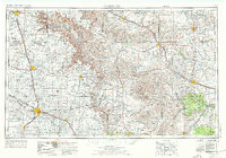
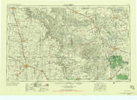
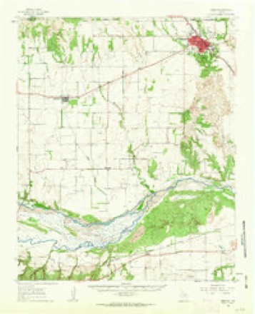
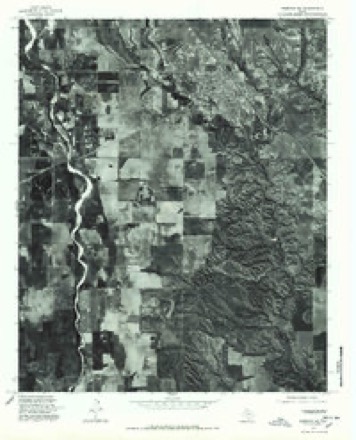
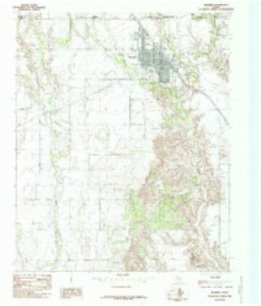
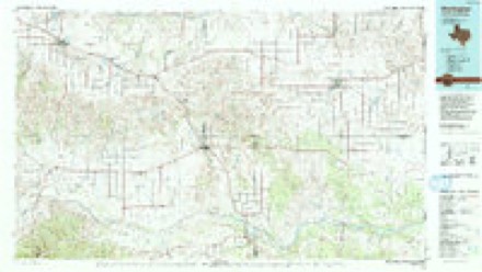
6 surveys from 9 printed sheetsMatched by testing this settlement's coordinate against the published boundary of every sheet in the United States Geological Survey's historical collection. Each opens the scanned sheet at the Survey.
- 1954 USGS Plainview quadrangle1:250000, 3 printings
- 1958 USGS Plainview quadrangle1:250000
- 1961 USGS Memphis quadrangle1:62500
- 1976 USGS Memphis NE quadrangle1:24000
- 1985 USGS Memphis quadrangle1:24000
- 1986 USGS Wellington quadrangle1:100000, 2 printings
Fires near this place
70 since 2006Regional context, not property-specific evidence. The federal wildfire occurrence database lists 70 fires within 5 miles of Memphis between 2006 and 2019, burning about 3,132 acres in total. 11 started naturally. None was recorded as arson. Distance is straight-line from the map coordinates, so a fire counted here may appear on a neighbouring settlement's page as well.
| Reported cause | Fires |
|---|---|
| Missing data/not specified/undetermined | 25 |
| Equipment and vehicle use | 22 |
| Natural | 11 |
| Railroad operations and maintenance | 5 |
| Power generation/transmission/distribution | 3 |
| Debris and open burning | 2 |
| Smoking | 1 |
| Misuse of fire by a minor | 1 |
The most recent of them, most recent first, with the day each was reported and the service that recorded it.
| Date | Cause | Size | Reported by | Name on the report |
|---|---|---|---|---|
| 6 September 2007 | Natural | under an acre | Texas A & M Forest Service | not named |
| 16 September 2011 | Railroad operations and maintenance | under an acre | Texas A & M Forest Service | R&R RT OF WAY 1.5 M N 287 |
| 13 September 2019 | Missing data/not specified/undetermined | 1.0 acres | Texas A & M Forest Service | GRASS FIRE |
| 12 September 2019 | Natural | 75 acres | Texas A & M Forest Service | GRASS FIRE |
| 10 September 2016 | Natural | 10 acres | Texas A & M Forest Service | GRASS FIRE |
| 6 August 2009 | Missing data/not specified/undetermined | 1.0 acres | Texas A & M Forest Service | SPRINGER |
| 5 August 2012 | Power generation/transmission/distribution | under an acre | Texas A & M Forest Service | 1722 BRICE |
| 30 August 2011 | Equipment and vehicle use | 1.0 acres | Texas A & M Forest Service | HWY 287 & CR 31 |
Settlements close enough to share some of these fires:
Storms near this place
60 of 77 shownRegional context, not property-specific evidence. The National Weather Service names Memphis in 77 storm reports between 1993 and 2026: 45 hail, 27 thunderstorm wind, 2 tornado, 2 heavy rain. No death or injury is recorded in these reports. Each account below is quoted exactly as the forecast office filed it, from the NOAA Storm Events Database, and each date opens the federal record of that event.
| When | Event | Place named | Harm | What the report says |
|---|---|---|---|---|
| May 2002 | Thunderstorm Wind | Memphis | $300,000 | Strong thunderstorm wind gusts overturned four tractor trailers, caused extensive damage to buildings, including the school library, damaged the roofs of at least 50 homes, snapped power poles, and blew down power lines and trees. Portions of Highway 287 were closed due to this damage. |
| May 2015 | Flood | Memphis | $250,000 | no account filed |
| May 2015 | Hail | Memphis | $200,000 | Hail ranging from quarter to golf ball size fell in Memphis for about 20 minutes. Damage consisted primarily of dented vehicles. |
| July 2008 | Thunderstorm Wind | Memphis | $150,000 | A local newspaper reported that thunderstorm winds caused significant damage to metal structures and light weight buildings in the Memphis vicinity. The roof was blown off of a large cotton warehouse. Another metal storage facility failed in the winds, with the roof and one wall blown off of the structure. A number of car windows were additionally blown out at a local business. No injuries were reported. |
| August 2001 | Hail | Memphis | $150,000 | Fire department storm spotters reported golfball to tennis ball size hail. The hail lasted for approximately 20 minutes and damaged buildings, smashed windows out of automobiles and homes, and destroyed crops in the storm's path. |
| May 2022 | Hail | Memphis | $100,000 | Numerous storm chasers reported a swath of giant hail along US Highway 287 southeast of Memphis to approximately five miles east of Memphis along Texas State Highway 256. Photographs from storm chasers showed the largest hail size of 3.5 inches in diameter along US Highway 287. Copious amount of windshields were destroyed from this hail. |
| May 2018 | Thunderstorm Wind | Memphis | $100,000 | A swath of destructive winds lasting for up to 15 minutes moved north across the city of Memphis this evening. These winds resulted in scattered minor to moderate damage in the town of Memphis. Most damage was comprised of broken tree limbs, a few downed trees, damaged shingles and siding, collapsed car ports, some broken windows, and a few downed power lines. |
| May 2002 | Hail | Memphis | $75,000 | no account filed |
| June 1996 | Thunderstorm Wind | Memphis | $15,000 | no account filed |
| August 2011 | Thunderstorm Wind | Memphis | $10,000 | A Texas Tech University West Texas mesonet site near Memphis recorded a wind gust to 58 mph. Also, Memphis police reported some trees were blown down in the town. |
| August 2008 | Thunderstorm Wind | Memphis | $10,000 | A brief but very intense thunderstorm wind gust of 66 mph was recorded by the Texas Tech University West Texas Mesonet site near Memphis. Local officials reported that the winds downed a number of power lines. |
| May 2006 | Thunderstorm Wind | Memphis | $10,000 | A swath of damaging thunderstorm winds affected portions of eastern Hall County, roughly from Memphis to Estelline. Initially, gusts up to 66 MPH were recorded by the West Texas Mesonet site located just northeast of Memphis at 18:55 PM. A local television station's school net weather instrument also recorded a gust to 77 MPH at that time. Local officials did not report any significant damage in the Memphis vicinity. As the linear thunderstorm complex moved southeast, additional reports of severe winds were received. The public reported wind gusts estimated to exceed 60 MPH in Estelline between 19:15 CST and 19:35 CST. In addition, the roof was blown off of a large barn 11 miles west of Estelline near Texas Highway 86 at approximately 19:40 CST. |
| April 2003 | Thunderstorm Wind | Memphis | $10,000 | Strong thunderstorm wind destroyed several sheds and damaged the roof of a house. |
| March 2012 | Thunderstorm Wind | Memphis | $5,000 | Destructive straight line winds measured up to 74 mph by a KVII-TV mesonet in Memphis resulted in numerous instances of mostly minor damage throughout the town. The most visible damage was caused after a tin roof was lifted and thrown into a nearby health clinic collapsing a small exterior wall. Also, portions of the high school football stadium press box were removed. The majority of the damage reports involved downed tree limbs, power lines and road signs. Some fences were also blown over and roofs were reported to have sustained generally minor damage. No injuries were reported. |
| May 2002 | Tornado (F1) | Memphis | $5,000 | A storm chaser reported a tornado southwest of town. The tornado snapped and uprooted trees, blew down power lines, and snapped a number of power poles. |
| May 2006 | Hail | Memphis | $5,000 | no account filed |
| May 2002 | Tornado (F1) | Memphis | $4,000 | A storm chaser followed a tornado from just east of Memphis to about 13 miles west of Loco (in Childress County). The tornado snapped trees and power poles and downed power lines. |
| June 2002 | Thunderstorm Wind | Memphis | $2,000 | The Memphis Fire Department reported power poles blown down throughout town with estimated 60 to 70 mph wind gusts. |
| March 2026 | Thunderstorm Wind | Memphis | - | A Texas Tech University West Texas mesonet site near Memphis measured severe wind gusts from 1805 CST through 1808 CST. A peak wind gust of 60 mph was measured at 1805 CST. |
| March 2026 | Hail | Memphis | - | Numerous public reports were received as well as law enforcement reporting hail ranging in size from ping pongs to golf balls in the city of Memphis. |
| April 2026 | Thunderstorm Wind | Memphis | - | A Texas Tech University West Texas mesonet site near Memphis measured a severe wind gust of 59 mph. |
| May 2025 | Hail | Memphis | - | Law enforcement officials reported a swath of hail from approximately five miles west of Memphis into the town of Memphis. Hail ranged in size from half dollars to golf ball size. |
| September 2025 | Thunderstorm Wind | Memphis | - | A Texas Tech University West Texas mesonet site near Memphis measured severe wind gusts at 1527 and 1528 CST. A peak wind gust of 74 mph was measured at 1527 CST. |
| February 2023 | Hail | Memphis | - | An emergency management official reported wind driven hail up to golf ball size. Numerous windows were destroyed in the city of Memphis. |
| May 2023 | Thunderstorm Wind | Memphis | - | A Texas Tech University West Texas mesonet site near Memphis measured a wind gust of 61 mph. |
| May 2023 | Hail | Memphis | - | A photograph of two inch size hail was sent to the NWS office in Lubbock via social media. No damage was reported. |
| September 2023 | Thunderstorm Wind | Memphis | - | Law enforcement in Hall County reported that railroad crossing arms were damaged from severe winds at Farm to Market Road 1619 and US Highway 287. |
| May 2022 | Hail | Memphis | - | The emergency manager for Memphis reported hail up to two inches in diameter. No damage was reported. |
| June 2022 | Thunderstorm Wind | Memphis | - | A Texas Tech University West Texas mesonet site near Memphis measured severe wind gusts from 2202 CST through 2209 CST. A peak wind gust of 75 mph was measured at 2203 CST. |
| June 2022 | Thunderstorm Wind | Memphis | - | A Texas Tech University West Texas mesonet site near Memphis measured a severe wind gust of 60 mph. |
| April 2020 | Hail | Memphis | - | Law enforcement in Hall County reported quarter size hail about two miles southeast of Memphis along US Highway 287. |
| July 2020 | Thunderstorm Wind | Memphis | - | A Texas Tech University West Texas mesonet site near Memphis measured a peak wind gust of 63 mph at 1730 CST. Severe winds were measured between 1730 and 1735 CST. |
| August 2020 | Thunderstorm Wind | Memphis | - | A Texas Tech University West Texas mesonet site near Memphis measured a peak wind gust of 67 mph at 1540 CST. Severe wind gusts were measured from 1540 through 1550 CST. |
| September 2020 | Thunderstorm Wind | Memphis | - | A Texas Tech University West Texas mesonet site near Memphis measured a wind gust to 59 mph. |
| September 2020 | Heavy Rain | Memphis | - | A trained spotter reported flooded streets in the town of Memphis. A nearby Texas Tech University West Texas mesonet measured 0.79 of rainfall in only 15 minutes. |
| May 2018 | Hail | Memphis | - | A storm chaser from KFDA-TV in Amarillo reported hail to the size of quarters in Memphis. |
| May 2018 | Thunderstorm Wind | Memphis | - | Measured by a Texas Tech University West Texas mesonet. Severe wind gusts of 60 mph, 66 mph and 75 mph were measured at 1955 CST, 2000 CST, and 2005 CST, respectively. |
| June 2018 | Thunderstorm Wind | Memphis | - | A Texas Tech University West Texas mesonet site near Memphis measured a wind gust to 58 mph associated with nearby thunderstorms. |
| May 2017 | Hail | Memphis | - | Law enforcement in Hall County and storm chasers reported hail up to golf ball size in Memphis. No damage was reported. |
| June 2017 | Thunderstorm Wind | Memphis | - | A Texas Tech University West Texas mesonet near Memphis reported a wind gust to 68 mph. |
| April 2015 | Hail | Memphis | - | A trained spotter along with fire department officials observed golf ball to hen egg size hail south and southwest of Memphis. |
| April 2014 | Hail | Memphis | - | Fire department officials reported half dollar size hail in Memphis. |
| June 2014 | Hail | Memphis | - | Local law enforcement officials observed quarter size hail in Memphis. |
| June 2013 | Heavy Rain | Memphis | - | A trained spotter measured 3.5 inches of rain in Memphis. |
| May 2013 | Hail | Memphis | - | Less than an hour after a thunderstorm with large hail pummeled rural areas southwest and southeast of Memphis, another severe thunderstorm produced large hail up to 1.5 inches in diameter - this time in the city of Memphis. The city emergency manager reported the hail fell for two minutes, but the extent of damage was unknown. |
| April 2012 | Hail | Memphis | - | Law enforcement estimated 1.5 inch hail 2W Memphis. No damage was reported. |
| April 2012 | Hail | Memphis | - | Law enfocement estimated penny size hail in Memphis. No damage was reported. |
| April 2012 | Hail | Memphis | - | Law enforcement estimated quarter size hail in Memphis. No damage was reported. |
| May 2011 | Hail | Memphis | - | A trained spotter, local broadcast media, and Texas Department of Transportation employees all reported hail ranging from quarter to golf ball size from southwest of Memphis to Memphis. No damage was reported. |
| July 2011 | Thunderstorm Wind | Memphis | - | The Texas Tech University West Texas mesonet site near Memphis measured a wind gust to 66 mph. No damage was reported in Memphis. |
| October 2011 | Thunderstorm Wind | Memphis | - | A Texas Tech University West Texas mesonet site in Memphis measured a wind gust to 58 mph. No damage was reported. |
| May 2010 | Hail | Memphis | - | Storm spotters reported quarter size hail along Texas Highway 256 southwest of Memphis. |
| May 2008 | Hail | Memphis | - | The Memphis Fire Department reported penny size hail in Memphis. |
| June 2008 | Hail | Memphis | - | Local law enforcement officials reported nickel size hail just east of Memphis. |
| May 2007 | Hail | Memphis | - | |Multiple reports from law enforcement officials and the Memphis Fire Department indicated that large hail ranged in size from peas to nickels from 04:27 to 04:30 CST. |
| June 2007 | Hail | Memphis | - | Local officials reported nickel size hail in Memphis. Delayed reports received from area newspapers indicated that at least 6,000 acres of cotton crops were destroyed by the hail across Hall County, but details concerning the location of damaged fields was not available. |
| May 2006 | Hail | Memphis | - | A National Weather Service cooperative observer reported quarter size hail in Memphis. |
| June 2004 | Thunderstorm Wind | Memphis | - | Texas Tech West Texas Mesonet measured a wind gust to 61 mph. |
| August 2001 | Hail | Memphis | - | Tennis ball size hail was reported by fire department storm spotters. |
| August 2001 | Hail | Memphis | - | Quarter size hail was reported by law enforcement officials. |
Nearest settlements
The eight closest, with where each one stands in the county. Distances are straight-line, computed from the Geographic Names Information System coordinates.
Elsewhere
Matched on this settlement's Geographic Names Information System number rather than its name, so it cannot be a different place of the same name in another state.
| Wikipedia article on Memphis | An encyclopaedic summary. Its text is share-alike, so it is linked here rather than copied. |
| Wikidata item Q979971 | The structured record the population and elevation above come from. Public domain (CC0). |
Provenance
This settlement is recorded in the Geographic Names Information System as feature 1362609. The sheet list is computed by point-in-boundary test against the United States Geological Survey's historical topographic inventory. Both are works of the United States government and carry no copyright under 17 U.S.C. 105.
Wildfire. Short, Karen C. 2022. Spatial wildfire occurrence data for the United States, 1992-2020 [FPA_FOD_20221014]. 6th Edition. Fort Collins, CO: Forest Service Research Data Archive. https://doi.org/10.2737/RDS-2013-0009.6 Collected with United States Government funding and usable without additional permissions or fees.
Storms. NOAA National Centers for Environmental Information, Storm Events Database https://www.ncei.noaa.gov/stormevents/ A work of the United States government, no copyright under 17 U.S.C. 105. Narratives are quoted verbatim from the National Weather Service report and are not edited or summarised.