 Block
BlockFrom the record
2 National Register listings published here.
Sources: the National Register database, National Park Service
27 topographic sheets cover 14 settlements here, and 2 properties are on the National Register of Historic Places.
2 National Register listings published here.
Sources: the National Register database, National Park Service
Every property in this county listed on the National Register of Historic Places, with the year it was listed and the federal nomination document.
| Photograph | Property | Type | Listed | Reference |
|---|---|---|---|---|
 | Hall County Courthouse | building | 2008 | 08000961 |
 | Hotel Turkey | building | 1991 | 91001521 |
Selected from the Digital Public Library of America's 1 image records catalogued for this county. Every one shown here carries a public-domain status or a licence that permits reuse on a site that carries advertising; non-commercial, share-alike and restricted images are excluded. The selection is spread across the county's towns (at most eight per town), so no single institution's bulk upload crowds out the rest. Each opens the holding library's record, and the complete set at the Digital Public Library of America is one click away.

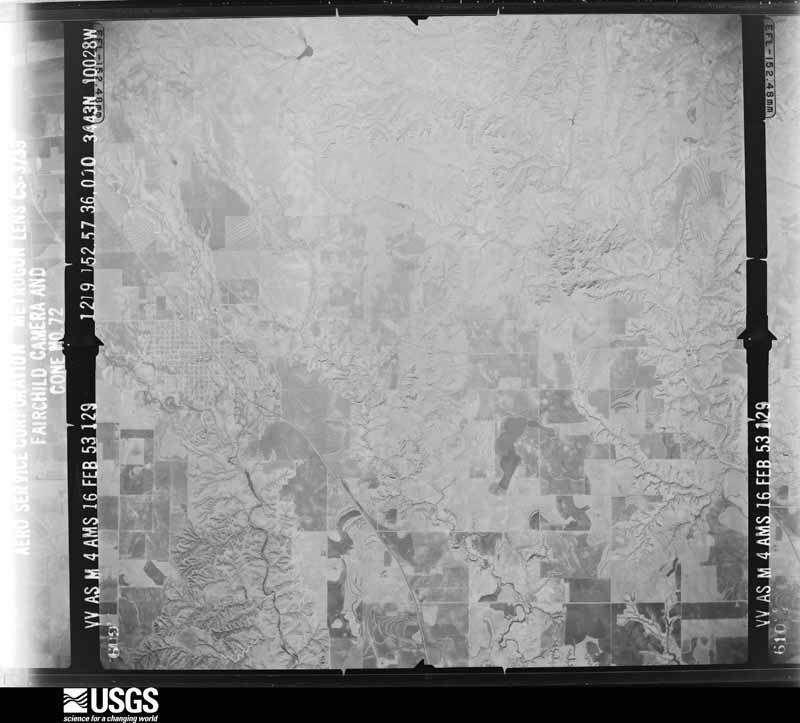
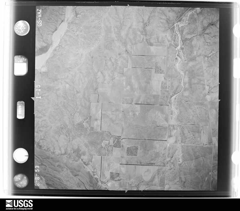
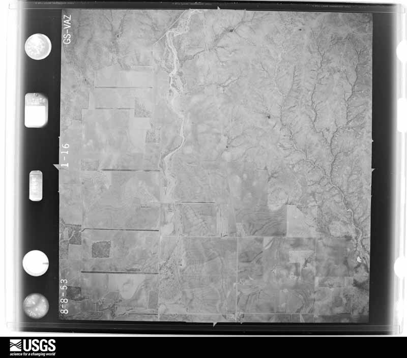
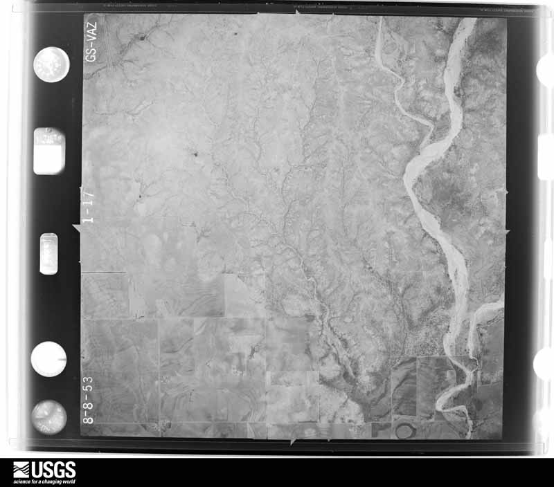
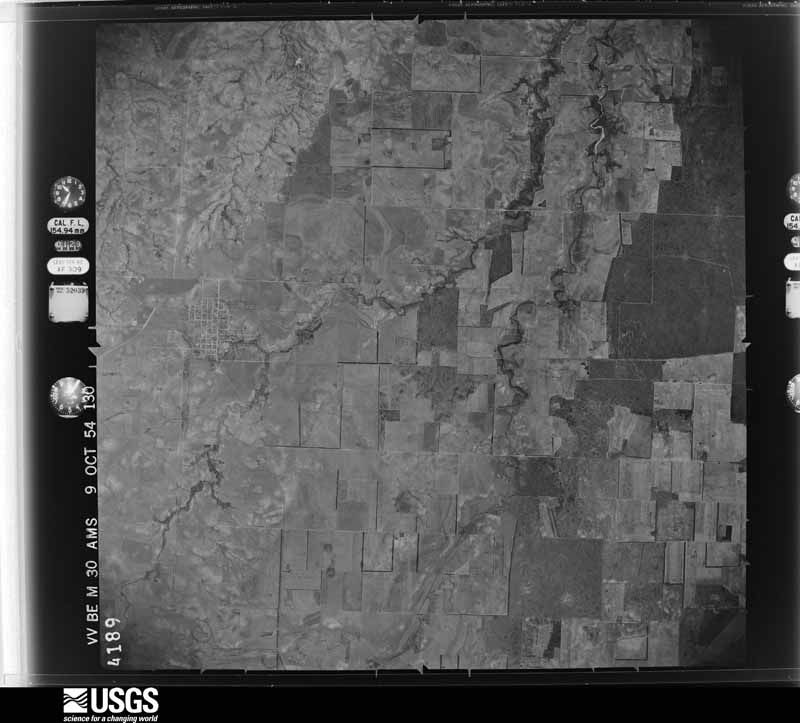
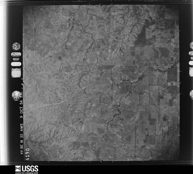
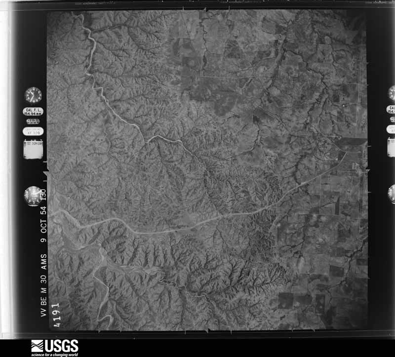
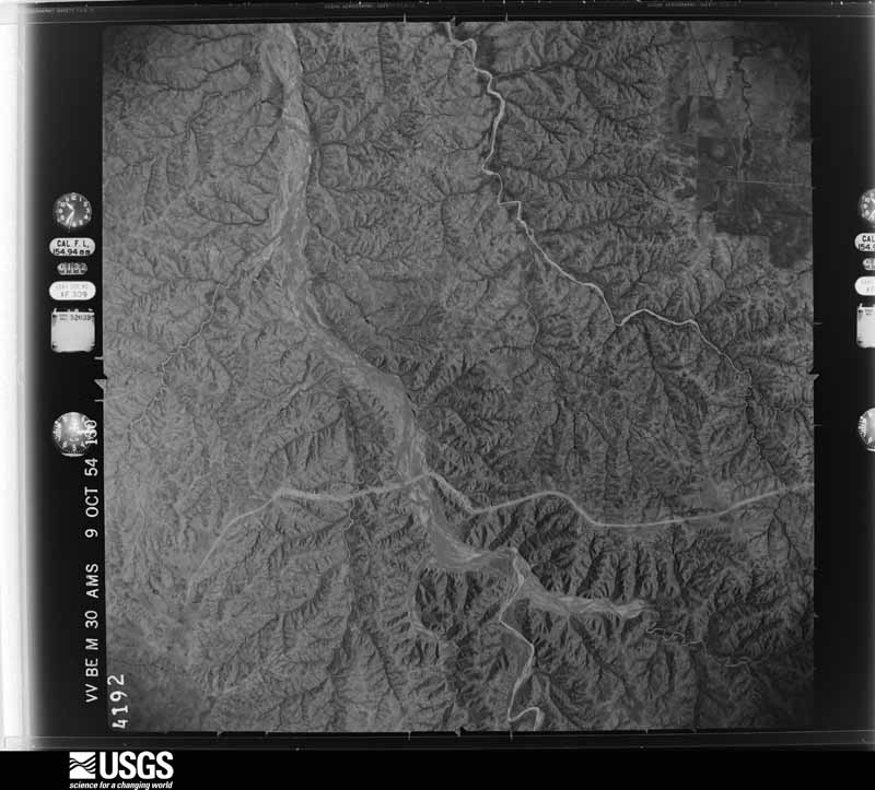
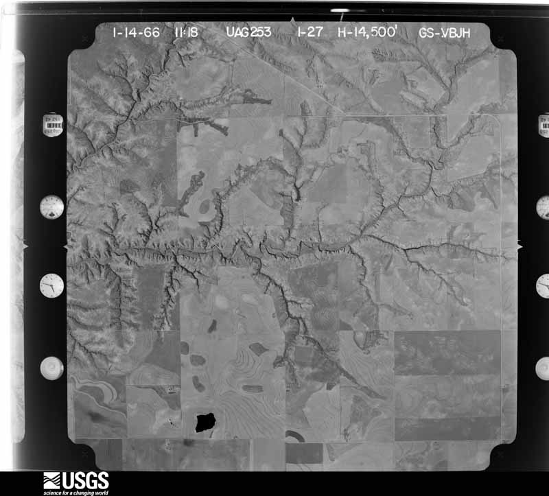
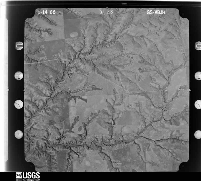
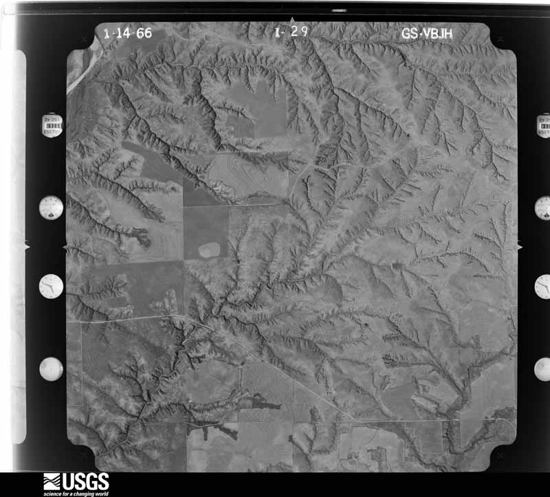
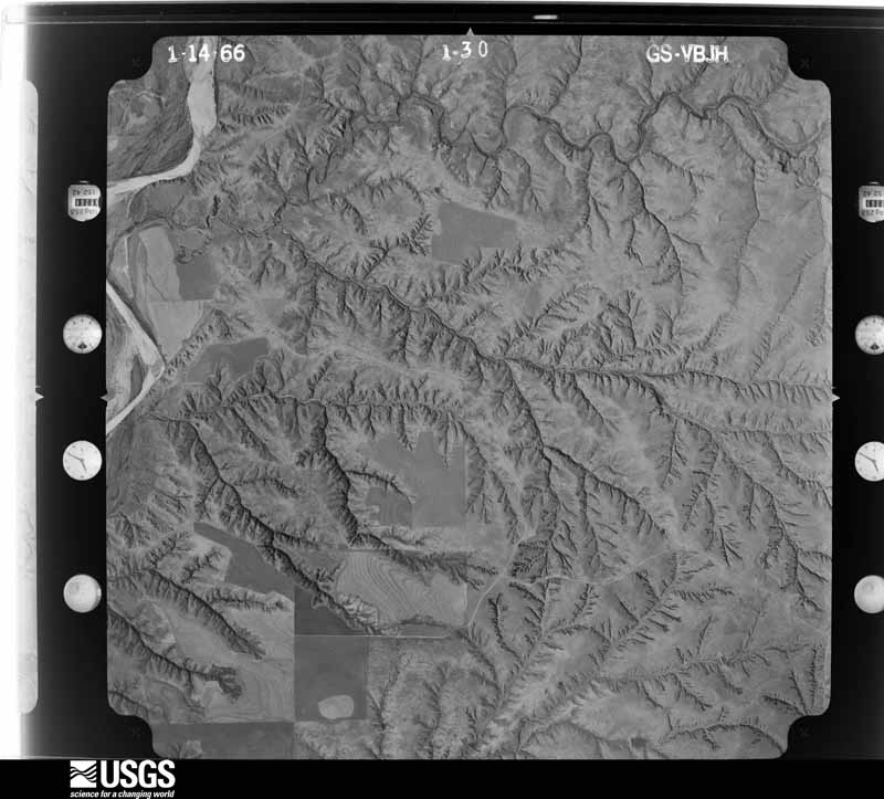
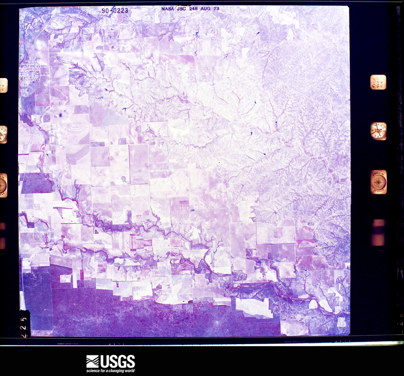
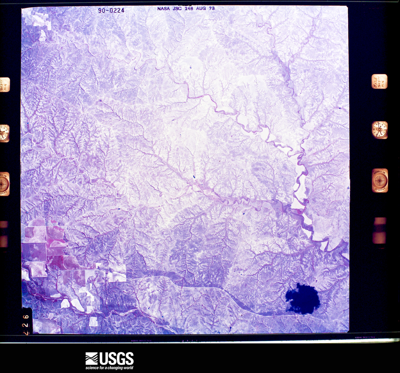
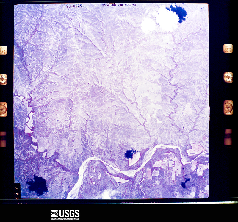
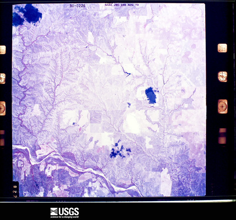
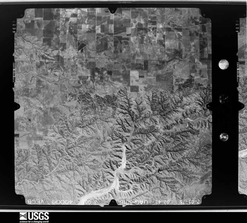
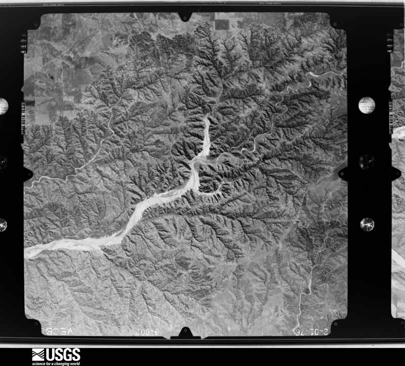
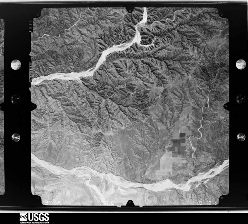
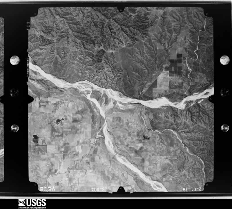
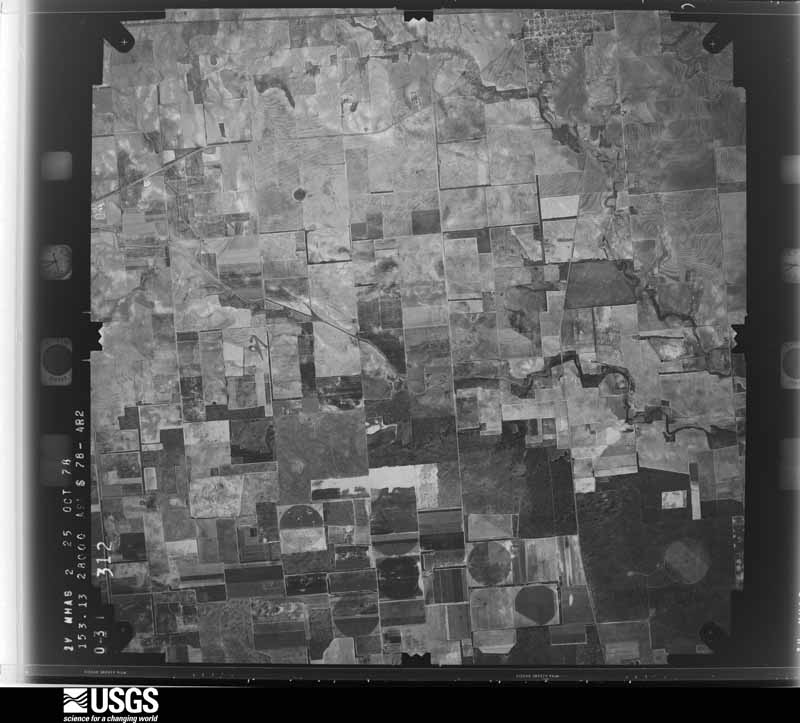
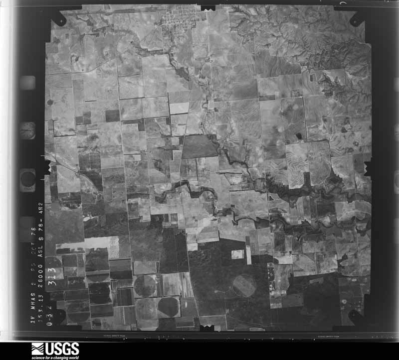
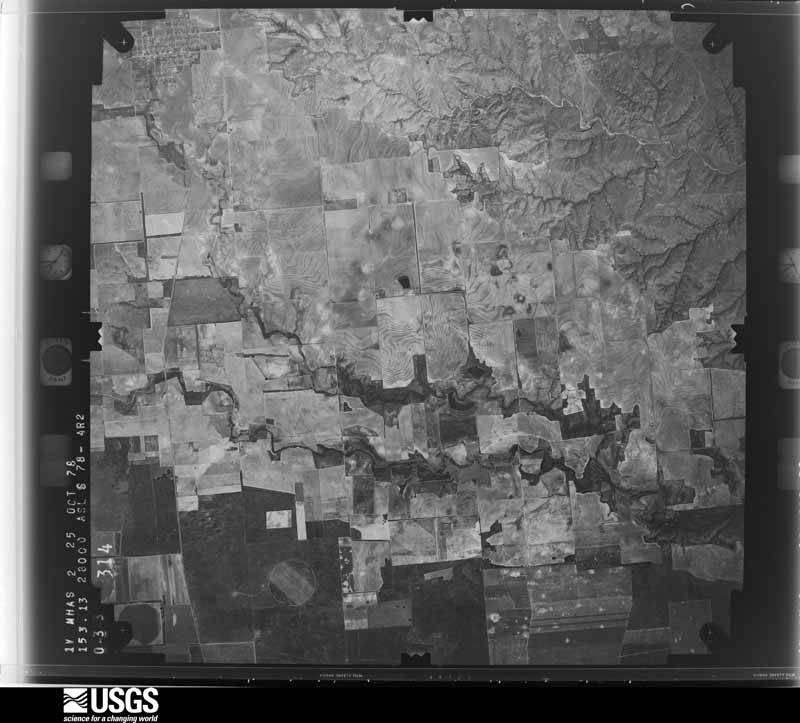
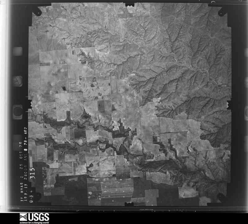
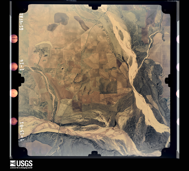
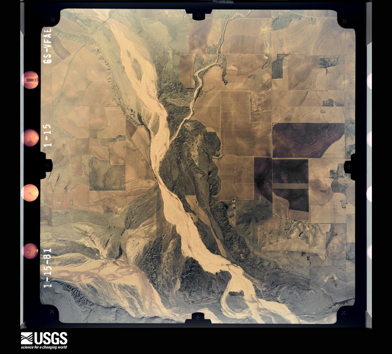
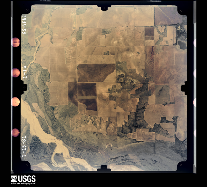
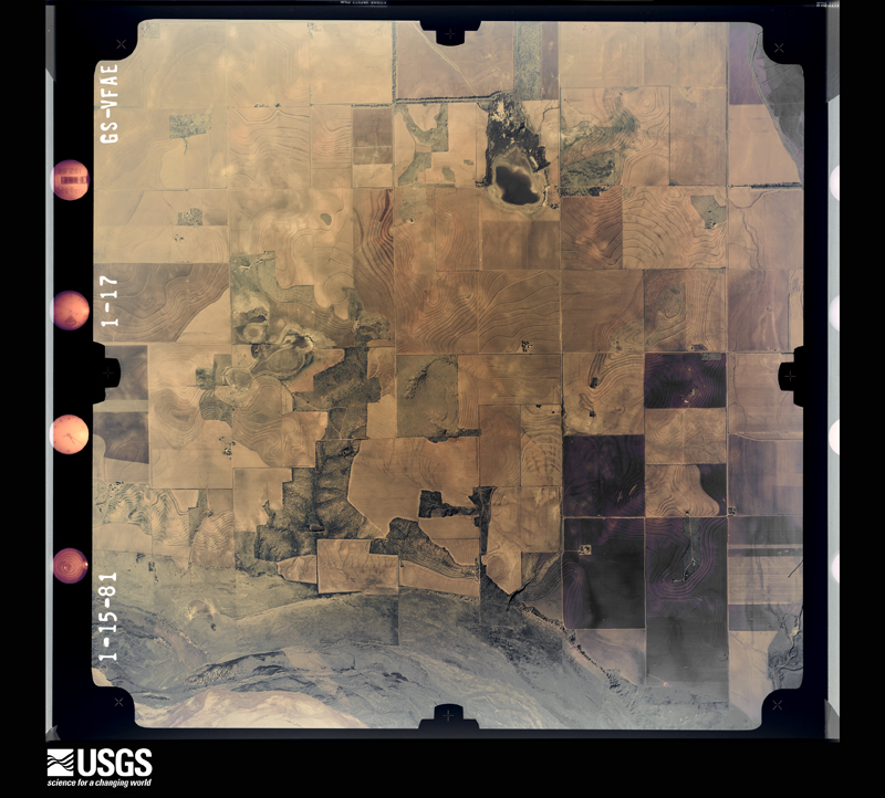
Flown by the U.S. Geological Survey between 1937 and 1989, the Aerial Photo Single Frames collection is the definitive mid-century view of the land: fields, roads and rivers as the camera saw them. The Survey holds 968 frames inside the rectangle that bounds this county; the 28 frames below were taken over the county itself, chosen across the decades of flights (at most four a year from that rectangle), so one flight cannot crowd out the rest. The full set is free to browse and download at EarthExplorer under the dataset Aerial Photo Single Frames.
The thermometers that kept this county's weather, and the gages that measured the flow of its streams, as the federal records hold them. The extremes below are measured values from those records, not estimates.
Who lived here in 1950, one enumeration district at a time, as the Census Bureau described each district. Each row opens its official National Archives result, with Population Schedules and ED Maps available there.
Every wildfire the federal occurrence database records inside this county: 271 of them, burning about 25,142 acres. 99 started naturally and 2 were recorded as arson. Each settlement page carries the fires within five miles of it.
| Reported cause | Fires |
|---|---|
| Natural | 99 |
| Missing data/not specified/undetermined | 60 |
| Equipment and vehicle use | 50 |
| Power generation/transmission/distribution | 30 |
| Debris and open burning | 22 |
| Smoking | 3 |
| Railroad operations and maintenance | 3 |
| Arson/incendiarism | 2 |
| Recreation and ceremony | 1 |
| Misuse of fire by a minor | 1 |
The five largest, by the area the report gives. None of them was recorded as arson.
| Date | Cause | Size | Reported by | Name on the report |
|---|---|---|---|---|
| 10 February 2017 | Equipment and vehicle use | 2,465 acres | Texas A & M Forest Service | TRIPP |
| 9 May 2018 | Natural | 2,430 acres | Texas A & M Forest Service | HARWOOD |
| 16 August 2018 | Natural | 1,582 acres | Texas A & M Forest Service | CHICKEN COMPLEX |
| 29 September 2003 | Natural | 1,500 acres | Texas A & M Forest Service | ROLLING PLAINS - 18 |
| 10 August 2011 | Natural | 1,400 acres | Texas A & M Forest Service | TAMPICO FIRE |
| 11 July 2020 | Natural | 1,092 acres | Texas A & M Forest Service | OXBOW |
| 29 September 2003 | Natural | 1,000 acres | Texas A & M Forest Service | ROLLING PLAINS - 19 |
| 30 August 2011 | Natural | 1,000 acres | Texas A & M Forest Service | COSTER FIRE |
Every settlement page carries the fires within five miles of it - see the settlement index below.
The NOAA Storm Events Database holds 472 reports for this county, causing 1 death, 6 injuries and about $12,661,610 in recorded property damage. Each settlement page carries the reports that name it.
| Kind of event | Reports |
|---|---|
| Hail | 252 |
| Thunderstorm Wind | 142 |
| Tornado | 55 |
| Flash Flood | 10 |
| Heavy Rain | 7 |
| Flood | 6 |
The most serious of them, by death, then injury, then recorded damage. The accounts are quoted exactly as the forecast office filed them.
| When | Event | Place named | Harm | What the report says |
|---|---|---|---|---|
| May 1978 | Tornado (F0) | not stated | 1 killed | no account filed |
| March 2007 | Thunderstorm Wind | Estelline | 4 hurt, $250,000 | A large damage swath began one mile west of Estelline just north of Texas Highway 86, where a center pivot irrigation system was destroyed. An 18-wheeler tractor-trailer was additionally overturned on the south side of the highway. |The damage extended eastward into the west side of Estillene. A mobile home was rolled toward the east, with part of the structure suspended in a tree and the remainder rested on top of two vehicles. A family of four all sustained minor injuries as the trailer was destroyed by the winds. Other light weight medal sheds and travel trailers also were damaged as the severe winds spread eastward then northeastward across the city. |
| July 2016 | Thunderstorm Wind | Estelline | 1 hurt, $15,000 | A traveling downburst blew over two semis traveling on Highway 287. One semi was overturned one mile southeast of Estelline, and the other about five miles north of the city. One of the semi drivers was treated for minor cuts. This same downburst snapped a few utility poles about one mile west of Estelline along Highway 86. |
| June 1974 | Tornado (F0) | not stated | 1 hurt | no account filed |
| May 2016 | Flash Flood | Lesley | $5,000,000 | The same storm responsible for producing a large, EF-2 tornado near Plaska also produced significant flash flooding over much of northern Hall County late this afternoon. Additional rounds of thunderstorms through the evening would go on to produce eight inches of rain as measured by a NWS CO-OP observer in Estelline. The storm survey discovered significant flood damage to bridges, roads and a golf course in Estelline which had large chasms cut into the property. Also, one SUV was swept off US Highway 256 about five miles northeast of Estelline after driving through raging floodwaters that consumed a shallow bridge. The two occupants of the vehicle were rescued and unharmed, but their vehicle was a complete loss from water damage. The total flood damage to infrastructure alone would likely reach several million USD. |
| August 2017 | Thunderstorm Wind | Turkey | $2,500,000 | For approximately 15 minutes, a barrage of northerly winds of 60 mph to as great as 120 mph inflicted heavy damage in the city of Turkey, located in far southwest Hall County. NWS Lubbock meteorologists conducted a ground and aerial damage survey at Turkey the following afternoon. All available evidence including radar, damage patterns, eyewitness accounts, and most notably a 15-minute duration of high winds indicated that a series of wet microbursts moved from north to south across Turkey. Several homes and businesses suffered damage, most notably the Turkey Compress which was totally destroyed. At least two homes suffered major damage and were deemed uninhabitable. Numerous large trees and power poles were snapped, building and car windows broken, garage doors collapsed, and other extensive damage occurred to car ports and canopies. Power in the city was not restored until nearly 12 hours later. Despite a large amount of airborne debris that affected the city, no fatalities or injuries occurred. Peak wind speeds were estimated to be in the 100-120 mph range based on the degree of damage. It is important to note that the most severely damaged structures were particularly old and not well maintained, including one home built in 1927. Homes that suffered roof damage or even broken windows also sustained extensive water damage from torrential rains that followed the series of microbursts. |
| May 2022 | Flash Flood | Plaska | $1,000,000 | Numerous thunderstorms repeatedly trained over portions of the extreme southeastern Texas Panhandle causing widespread flash flooding across Hall County. Several roadways were either flooded or completely washed out. Farm to Market Road 2472 near Plaska was washed out. Additionally, Farm to Market Road 1041 near Texas State Highway 256 southwest of Memphis was reportedly washed out. |
| May 2002 | Thunderstorm Wind | Memphis | $300,000 | Strong thunderstorm wind gusts overturned four tractor trailers, caused extensive damage to buildings, including the school library, damaged the roofs of at least 50 homes, snapped power poles, and blew down power lines and trees. Portions of Highway 287 were closed due to this damage. |
| May 2015 | Flood | Memphis | $250,000 | no account filed |
| May 1982 | Tornado (F3) | not stated | $250,000 | no account filed |
| May 2015 | Hail | Memphis | $200,000 | Hail ranging from quarter to golf ball size fell in Memphis for about 20 minutes. Damage consisted primarily of dented vehicles. |
| July 2011 | Thunderstorm Wind | Estelline | $200,000 | Texas DPS reported widespread damage in Estelline. Roofs were blown off homes and numerous trees were blown down. Additionally, numerous out buildings were severely damaged. Hail also accompanied the strong winds. |
| May 2002 | Thunderstorm Wind | Brice | $200,000 | Strong thunderstorm wind gusts, probably associated with the rear flank downdraft of the tornadic supercell, produced major damage to trees, power poles, power lines, center pivot irrigation systems, and the roofs of homes throughout a 10-mile stretch of Highway 256. An NWS storm survey team estimated winds associated with this damage to be in the 80 to 100 mph range. |
| May 1995 | Hail | Turkey | $200,000 | no account filed |
| May 2016 | Tornado (EF2) | Lakeview | $150,000 | A large tornado developed near Plaska late this afternoon and moved slowly southeastward for the next 15 minutes before dissipating. Several storm chasers documented this tornado as it grew into a wedge shape while wrapping in rain curtains. This tornado and damaging RFD winds toppled several utility poles, heavily damaged and stripped some trees, and destroyed a barn. The damage was found to be consistent with EF-2 winds. There may have been additional, smaller tornadoes concurrently or following this large tornado, however insufficient video evidence and few damage indicators precluded an explicit entry of these tornadoes. |
| May 2016 | Tornado (EF3) | Turkey | $150,000 | This is the continuation path of the tornado that began in northern Motley County. A significant tornado tracked northwest across rural southwest Hall County before narrowing and later dissipating about 1.5 miles east of Turkey at 2106 CST. Storm spotters indicated this large tornado was rain wrapped as it approached Turkey.||A NWS storm damage survey rated this tornado as EF-3. Although damage indicators were sparse in this part of Hall County, the wind estimate was derived from several steel pylons supporting electrical lines that were bent to the ground from winds estimated in the range of 135 to 140 mph. Additionally, there were trees blown over and uprooted as viewed from a distance along the nearest roadway. However, the survey team was unable to survey this damage due to flooded roads and a limited road network.||The development of this tornado and its unusual northwest motion were likely the result of a northward-moving outflow boundary tied to a left moving supercell that earlier impacted Matador (Motley County). Radar data indicate tornadogenesis occurred shortly after this outflow boundary impinged on the supercell. |
| July 2008 | Thunderstorm Wind | Memphis | $150,000 | A local newspaper reported that thunderstorm winds caused significant damage to metal structures and light weight buildings in the Memphis vicinity. The roof was blown off of a large cotton warehouse. Another metal storage facility failed in the winds, with the roof and one wall blown off of the structure. A number of car windows were additionally blown out at a local business. No injuries were reported. |
| August 2001 | Hail | Memphis | $150,000 | Fire department storm spotters reported golfball to tennis ball size hail. The hail lasted for approximately 20 minutes and damaged buildings, smashed windows out of automobiles and homes, and destroyed crops in the storm's path. |
| June 2010 | Thunderstorm Wind | Turkey | $125,000 | An intense downburst occurred over portions of southwestern Hall County near Turkey around 23:30 CST on the 13th. The Texas Tech University West Texas Mesonet site just west-southwest of Turkey measured a 71 mph wind gust at 23:25 CST. An extreme gust of 101 mph was observed at 23:30 CST. The winds also were accompanied by intense rain bursts. ||A post-storm survey by Texas Tech University West Texas Mesonet meteorologists revealed that damage consistent with the measured wind speeds occurred along Texas Highway 86 from near the Briscoe and Hall County line to just west of Turkey. A trailer house was rolled by the winds and destroyed, and a large metal barn sustained severe damage with metal cross-beams blown some distance down wind. A number of utility poles also were snapped. No injuries were reported. |
| May 2022 | Hail | Memphis | $100,000 | Numerous storm chasers reported a swath of giant hail along US Highway 287 southeast of Memphis to approximately five miles east of Memphis along Texas State Highway 256. Photographs from storm chasers showed the largest hail size of 3.5 inches in diameter along US Highway 287. Copious amount of windshields were destroyed from this hail. |
| May 2018 | Hail | Estelline | $100,000 | Numerous reports of hail up to golf ball size fell around US Highway 287 from north of Estelline to southeast of Estelline. Many vehicles were damaged due to large hail in Estelline. |
| May 2018 | Thunderstorm Wind | Estelline | $100,000 | A Texas Tech University West Texas mesonet measured a wind gust to 68 mph. Furthermore, several reports of wind damage were received from Estelline including shed and tree damage. |
| May 2018 | Thunderstorm Wind | Memphis | $100,000 | A swath of destructive winds lasting for up to 15 minutes moved north across the city of Memphis this evening. These winds resulted in scattered minor to moderate damage in the town of Memphis. Most damage was comprised of broken tree limbs, a few downed trees, damaged shingles and siding, collapsed car ports, some broken windows, and a few downed power lines. |
| July 2010 | Heavy Rain | Turkey | $100,000 | Scattered showers and thunderstorms initially began to produce rainfall around midday on the 1st. This activity gradually evolved toward heavy tropical downpours, especially during the evening hours of the 3rd through the morning hours of the 4th.||The Texas Tech University West Texas Mesonet site near Turkey measured 4.07 inches of rainfall throughout the event. Local newspaper articles reported approximated unofficial totals across the county that measured between 3.00 and 8.00 inches.||Standing water was observed in a number of low-lying areas, including within crop lands and across several unpaved rural roadways which sustained minor damages. Otherwise, no significant flash flooding or flooding was reported. |
| June 2001 | Hail | Turkey | $100,000 | Law enforcement officials reported golfball size hail. |
| September 2010 | Thunderstorm Wind | Estelline | $75,000 | Local officials reported that a portion of the roof was blown off of the Estelline City Hall by damaging thunderstorm winds. No additional structural damage was reported and no injuries were reported. |
| July 2009 | Thunderstorm Wind | Estelline | $75,000 | An abandoned brick building suffered significant wind damage in Estelline. Severe thunderstorm winds struck the community around 21:30 CST, and caused a structure's brick wall to collapse. No injuries were reported. |
| May 2002 | Hail | Memphis | $75,000 | no account filed |
| July 2011 | Hail | Estelline | $50,000 | A NWS storm survey revealed that hail to the size of golf balls fell in Estelline. The hail was accompanied by severe wind gusts. |
| March 2007 | Tornado (EF2) | Brice | $50,000 | The long-lived tornado that impacted eastern Briscoe County moved through rural areas of northwestern Hall County, just west and northwest of Brice. Although the tornado was large and had a history of causing significant damage, no man-made structures were affected in Hall County. The tornado was roping out when it crossed the Hall and Donley County line west of Texas Highway 70 at 17:05 CST. |
| May 2006 | Hail | Turkey | $50,000 | Hail up to the size of golfballs broke windows and caused minor roof and vehicle damage in Turkey. The hail was accompanied by damaging winds. |
| May 1994 | Tornado (F1) | Northfield | $50,000 | no account filed |
| October 2017 | Flash Flood | Newlin | $40,000 | Torrential rainfall for several hours near Newlin and areas upstream from the evening of the 4th through the early morning hours of the 5th caused flash flooding along US Highway 287 from Estelline to Newlin. Additional flash flooding was observed along Farm to Market Road 1619 east of Newlin. Rainfall estimates ranged from 5 to 6 inches just upstream of the flash flooded area. Initial reports from Hall County indicated that US Highway 287 was closed due to high water from Estelline to Memphis. Flood waters were deep enough to completely cover the tires of a sheriff deputy's vehicle. Several other vehicles entered high water causing the vehicles to become disabled which resulted in one high water rescue. A 200 foot portion of pavement of Farm to Market Road 1619 was washed out by flash flooding. Furthermore, a Burlington Northern Santa Fe train was unable to proceed in the flooded area due to high water. Many travelers became stranded in Estelline while traveling to Amarillo due to several detours being inundated with high water. US Highway 287 was reopened at 0900 CST on the morning of the 5th. |
| July 2016 | Thunderstorm Wind | Turkey | $35,000 | Law enforcement in Turkey reported several power lines downed by high winds as well as a portion of a roof blown off of a house. Several minutes later, the Texas Tech University West Texas mesonet station observed a wind gust to 60 mph. |
| May 2018 | Thunderstorm Wind | Estelline | $30,000 | A Texas Tech University West Texas mesonet site near Estelline measured a wind gust to 68 mph. At approximately the same time, an 18-wheeler was blown over on US Highway 287 near Estelline shutting down the northbound lanes. It was also reported that several trees were blown over or damaged in and around Estelline. A downed power pole was observed along Farm to Market Road 658 near US Highway 287. |
| April 2010 | Flood | Lesley | $25,000 | Heavy rainfall centered over western Hall County resulted in significant flooding along the Prairie Dog Town Fork of the Red River. The high water flooded low lying farmland, ranch land, and several roadways. No significant damage was reported. |
| June 2008 | Hail | Estelline | $25,000 | Baseball size hail caused roof and automobile damage at a ranch in central Hall County. |
| March 2007 | Tornado (EF1) | Estelline | $25,000 | A National Weather Service damage survey and witnesses indicated that a brief tornado developed near the center of Estelline. Tornadic winds estimated near 90 mph, along with a rapid onset of intense westerly winds associated with the ongoing downburst, resulted in the total collapse of two brick buildings. These structures were aged and abandoned businesses. Residents that were in the downtown area at the time of the storm reported intense easterly wind gusts that blew in doors and windows. Strong easterly inflow was additionally evidenced by the destruction of a trailer house just east of the town's center. |
| June 1989 | Tornado (F0) | not stated | $25,000 | no account filed |
| June 1981 | Tornado (F0) | not stated | $25,000 | no account filed |
| April 1968 | Tornado (F1) | not stated | $25,000 | no account filed |
| April 1957 | Tornado (F2) | not stated | $25,000 | no account filed |
| July 2016 | Thunderstorm Wind | Estelline | $20,000 | A NWS cooperative weather observer reported that a roof was removed from a barn due to high winds. |
| September 2010 | Thunderstorm Wind | Brice | $20,000 | Hall County law enforcement officials reported that thunderstorm winds downed utility poles at Brice. |
| May 2001 | Hail | Tampico | $20,000 | Storm spotters reported golfball size hail. |
| May 2012 | Thunderstorm Wind | Eli | $15,000 | Law enforcement reported thunderstorm wind damage in and near the community of Plaska. Reports consisted of damage to barns, downed power lines, a few trailers blown over, and a roof removed from a home. A NWS storm survey was unable to reach this area to determine the full extent of damage, however a storm chaser in the area did report frequent inflow wind gusts to at least 60 mph into a nearby supercell thunderstorm. It is unclear if the damage was the result of inflow or outflow winds, or a combination thereof. Property damage was estimated to be around $15 thousand. |
| May 2006 | Hail | Estelline | $15,000 | Reports from multiple sources indicated that large hail, occasionally up to the size of baseballs, accompanied a supercell thunderstorm as it propagated southeastward from near Brice to near Estelline. Reports of golfball size hail was common along the hail swath. Giant baseball size hail damaged vehicles and resulted in at least minor roof damage near Estelline. The storm eventually produced a significant tornado in Childress. |
| June 1996 | Thunderstorm Wind | Memphis | $15,000 | no account filed |
| May 2016 | Thunderstorm Wind | Turkey | $10,000 | A Texas Tech University West Texas mesonet near Turkey measured a wind gust to 72 mph. Additionally, an NWS cooperative weather observer reported that a roof was blown off of a barn south of Turkey. |
| April 2016 | Hail | Turkey | $10,000 | An NWS cooperative weather observer in Turkey, and a few citizens of Turkey, reported hail up to the size of golf balls. This hail persisted for almost 20 minutes. Damage to windows and car windshields was reported. |
| August 2011 | Thunderstorm Wind | Memphis | $10,000 | A Texas Tech University West Texas mesonet site near Memphis recorded a wind gust to 58 mph. Also, Memphis police reported some trees were blown down in the town. |
| August 2008 | Thunderstorm Wind | Memphis | $10,000 | A brief but very intense thunderstorm wind gust of 66 mph was recorded by the Texas Tech University West Texas Mesonet site near Memphis. Local officials reported that the winds downed a number of power lines. |
| May 2006 | Thunderstorm Wind | Turkey | $10,000 | Severe thunderstorm winds combined with large hail to break windows and down large tree limbs in Turkey. |
| May 2006 | Thunderstorm Wind | Memphis | $10,000 | A swath of damaging thunderstorm winds affected portions of eastern Hall County, roughly from Memphis to Estelline. Initially, gusts up to 66 MPH were recorded by the West Texas Mesonet site located just northeast of Memphis at 18:55 PM. A local television station's school net weather instrument also recorded a gust to 77 MPH at that time. Local officials did not report any significant damage in the Memphis vicinity. As the linear thunderstorm complex moved southeast, additional reports of severe winds were received. The public reported wind gusts estimated to exceed 60 MPH in Estelline between 19:15 CST and 19:35 CST. In addition, the roof was blown off of a large barn 11 miles west of Estelline near Texas Highway 86 at approximately 19:40 CST. |
| April 2003 | Thunderstorm Wind | Memphis | $10,000 | Strong thunderstorm wind destroyed several sheds and damaged the roof of a house. |
| June 2002 | Thunderstorm Wind | Turkey | $10,000 | Strong thunderstorm winds estimated at 60 to 80 mph blew down a number of power poles, power lines, and trees. |
| May 2001 | Hail | Estelline | $10,000 | A storm spotter reported golfball size hail on Farm-to-Market Road 94. |
| June 1996 | Hail | Turkey | $10,000 | no account filed |
| June 2017 | Thunderstorm Wind | Estelline | $5,000 | A semi-truck was blown over along Highway 287 near the Hall and Childress County line. The driver was unharmed. |
| March 2012 | Thunderstorm Wind | Memphis | $5,000 | Destructive straight line winds measured up to 74 mph by a KVII-TV mesonet in Memphis resulted in numerous instances of mostly minor damage throughout the town. The most visible damage was caused after a tin roof was lifted and thrown into a nearby health clinic collapsing a small exterior wall. Also, portions of the high school football stadium press box were removed. The majority of the damage reports involved downed tree limbs, power lines and road signs. Some fences were also blown over and roofs were reported to have sustained generally minor damage. No injuries were reported. |
Named settlements recorded in the Geographic Names Information System, each with the topographic sheets covering it. Villages, hamlets and abandoned places alike. Each is shown with the nearest named watercourse or landform and the survey quadrangle it falls on.
Memphis census division · 79245 · On Berkley Creek · Memphis quadrangle
9 sheets, 1954 to 1986
Lakeview census division · 79239 · On Brushy Creek · Brice quadrangle
9 sheets, 1954 to 1986