 Block
Springdale, Utah
16 topographic sheets cover this place, the earliest surveyed in 1886 and the latest in 1997. It stands in the Hurricane census division. It lies in ZIP code area 84767. It lies near Moquitch Hill. The Survey maps it on the Springdale East quadrangle. 514 people lived here at the 2020 count. It stands 3,898 feet above sea level.
Research this city
On record in Springdale
Buildings and businesses the archive holds for this place. Each opens its own page, with the source record it came from.
On the National Register 12 of 32 shown
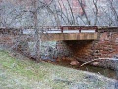 Cable Creek Bridgelisted 1996
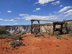 Cable Mountain Draw Workslisted 1978
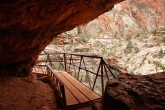 Canyon Overlook Traillisted 1987
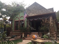 Herbert & Lillian Christensen Houselisted 2019
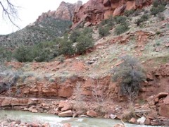 Crawford Irrigation Canallisted 1987
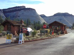 East Entrance Checking Stationlisted 1987
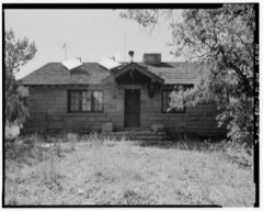 East Entrance Residencelisted 1987
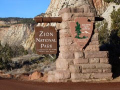 East Entrance Signlisted 1987
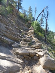 East Rim Traillisted 1987
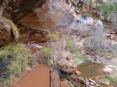 Emerald Pools Traillisted 1987
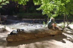 Flanigan Ditchlisted 1998
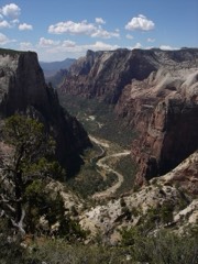 Floor of the Valley Roadlisted 1996
Every listing in Washington County
Surveyed buildings and structures 12 of 70 shown
- Floor of the Valley Road, Between Zion-Mt. Carmel Highway & Temple of Sinawava, Springdalefederal building survey, 13 photographs
- Floor of the Valley Road, Cable Creek Bridge, Spanning Cable Creek on Floor of Valley, Springdalefederal building survey, 7 photographs
- Oak Creek Administrative Center, One half mile east of Zion-Mount Carmel Highway at Oak Creek, Springdalefederal building survey, 13 photographs
- Oak Creek Historic Complex, Carpenter Shop, Springdalefederal building survey, 3 photographs
- Oak Creek Historic Complex, Equipment Shop, Springdalefederal building survey, 1 photograph
- Oak Creek Historic Complex, Firehouse, Springdalefederal building survey, 2 photographs
- Oak Creek Historic Complex, Machine Shop, Springdalefederal building survey, 4 photographs
- Oak Creek Historic Complex, Ranger Dormitory, Springdalefederal building survey, 7 photographs
- Oak Creek Historic Complex, Ranger's Residence, Springdalefederal building survey, 4 photographs
- Oak Creek Historic Complex, Ranger's Residence, Springdalefederal building survey, 3 photographs
- Oak Creek Historic Complex, Ranger's Residence, Springdalefederal building survey, 2 photographs
- Oak Creek Historic Complex, Ranger's Residence, Springdalefederal building survey, 2 photographs
Population over time
2 figuresSpringdale fell from 529 to 514 between 2010 and 2020. These are the recorded population figures Wikidata holds for this place, reached through the Geographic Names Information System number this page is keyed on rather than by name, so they belong to this place and not to another of the same name. Most are census counts, but not all are: an early figure may be a founding or settlement estimate, and an estimate published within five years of a census is left out. The change column is computed, and is left blank where more than 20 years separate a figure from the one before it, because a gap that long is not a change between two counts.
| Year | People | Change |
|---|---|---|
| 2010 | 529 | |
| 2020 | 514 | -15 (-3%) |
Topographic sheets covering this place
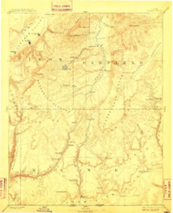
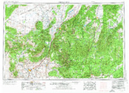
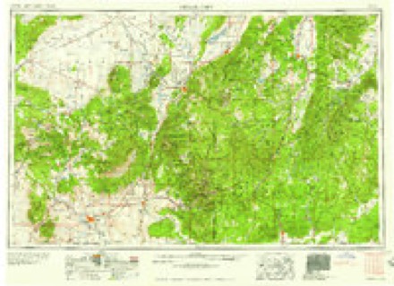
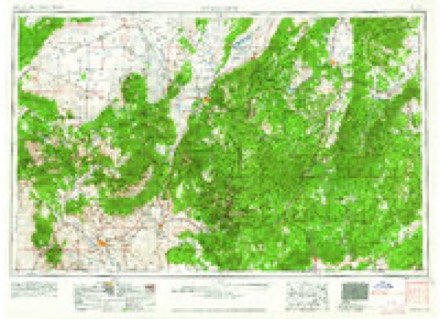
7 surveys from 16 printed sheetsMatched by testing this settlement's coordinate against the published boundary of every sheet in the United States Geological Survey's historical collection. Each opens the scanned sheet at the Survey.
- 1886 USGS Kanab quadrangle1:250000, 5 printings
- 1953 USGS Cedar City quadrangle1:250000, 3 printings
- 1958 USGS Cedar City quadrangle1:250000, 2 printings
- 1962 USGS Cedar City quadrangle1:250000
- 1980 USGS Kanab quadrangle1:100000
- 1980 USGS Springdale East quadrangle1:24000, 3 printings
- 1997 USGS Springdale East quadrangle1:24000
Photographs
8 of 11 photographs shown,Taken for the Office of War Information and the Farm Security Administration, who photographed the country between 1935 and 1944. Works of United States government photographers, with no known restriction on use. Each opens its catalogue record.
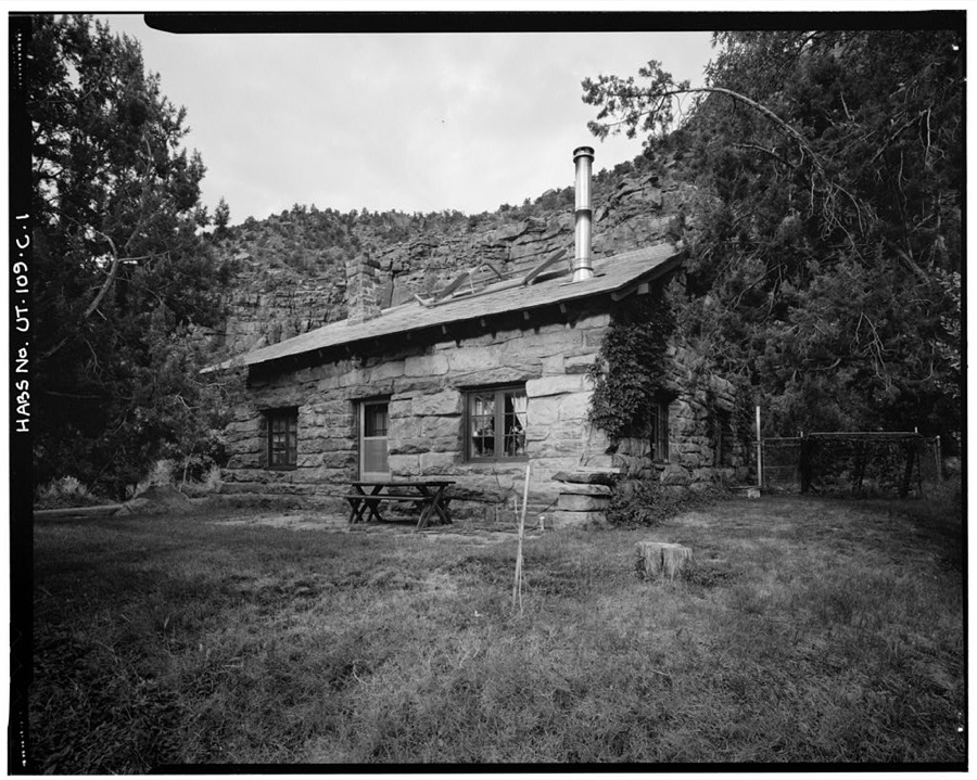
Photographer not recorded. Library of Congress
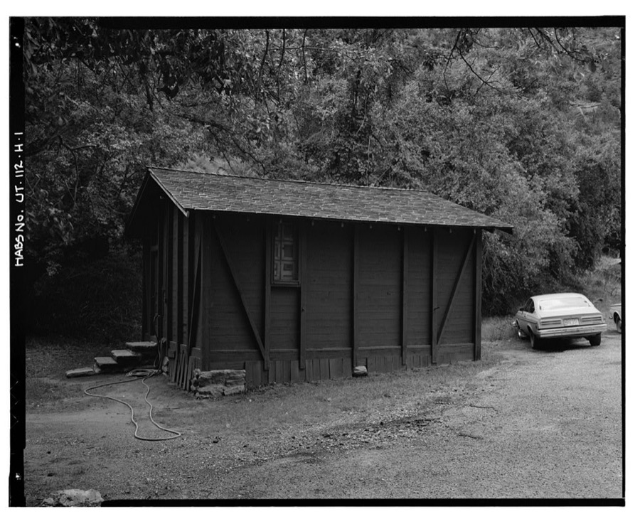
Photographer not recorded. Library of Congress
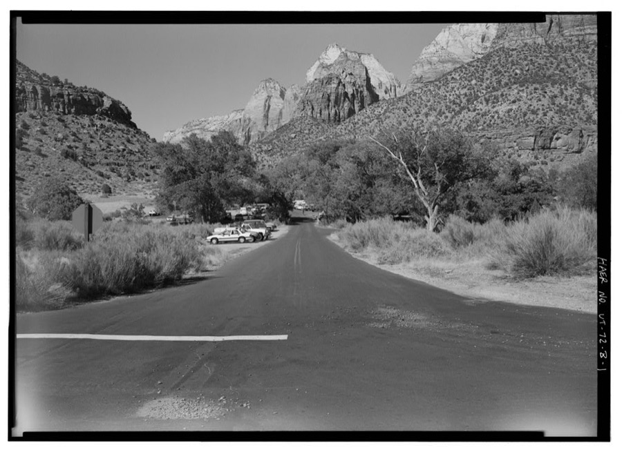
Photographer not recorded. Library of Congress
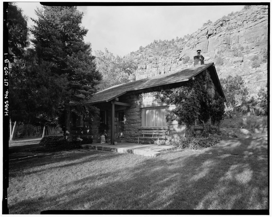
Photographer not recorded. Library of Congress
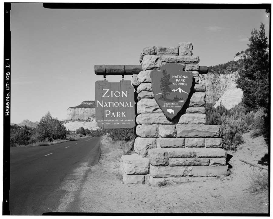
Photographer not recorded. Library of Congress
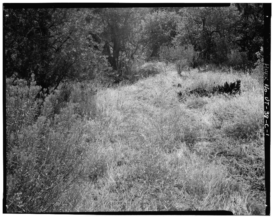
Photographer not recorded. Library of Congress
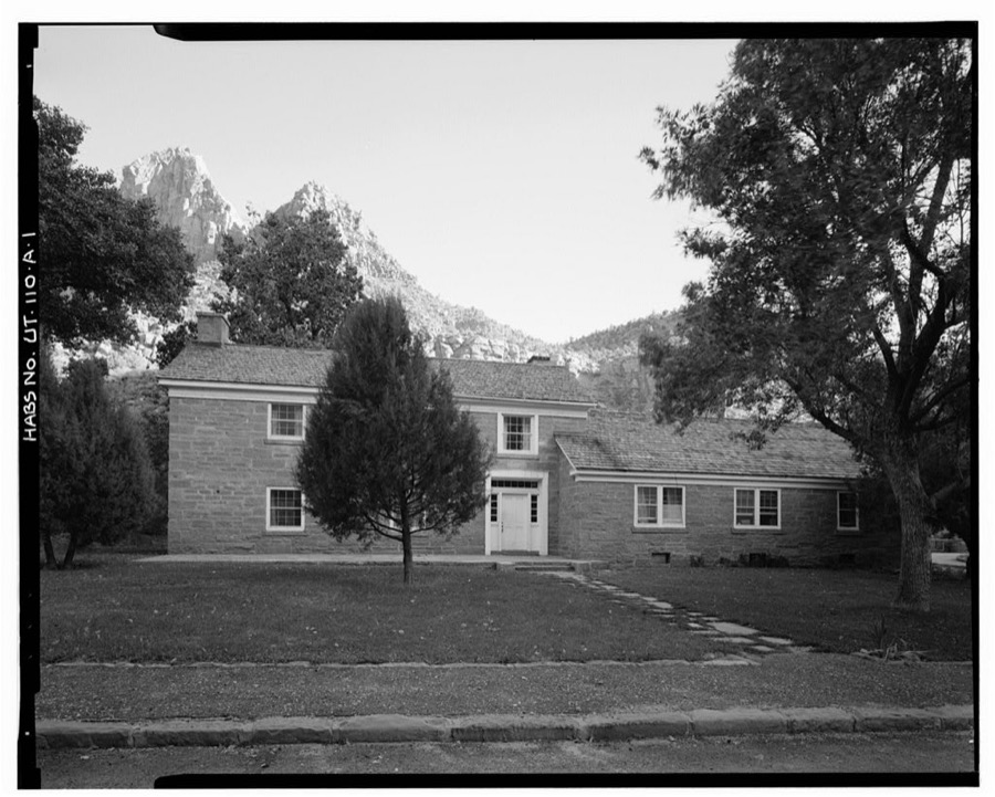
Photographer not recorded. Library of Congress
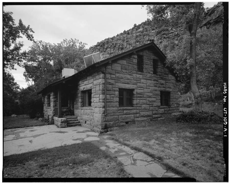
Photographer not recorded. Library of Congress
Every photograph of Washington County
Fires near this place
172 since 1992Regional context, not property-specific evidence. The federal wildfire occurrence database lists 172 fires within 5 miles of Springdale between 1992 and 2020, burning about 404 acres in total. 91 started naturally. 5 were recorded as arson. Distance is straight-line from the map coordinates, so a fire counted here may appear on a neighbouring settlement's page as well.
| Reported cause | Fires |
|---|---|
| Natural | 91 |
| Recreation and ceremony | 30 |
| Missing data/not specified/undetermined | 18 |
| Equipment and vehicle use | 9 |
| Debris and open burning | 5 |
| Fireworks | 5 |
| Arson/incendiarism | 5 |
| Smoking | 4 |
| Misuse of fire by a minor | 3 |
| Power generation/transmission/distribution | 2 |
The most recent of them, most recent first, with the day each was reported and the service that recorded it.
| Date | Cause | Size | Reported by | Name on the report |
|---|---|---|---|---|
| 9 September 2011 | Natural | under an acre | Zion National Park | PETRIFIED |
| 9 September 2004 | Natural | 4.0 acres | Zion National Park | COUGAR |
| 5 September 1995 | Natural | under an acre | Zion National Park | OAK CREEK |
| 3 September 2006 | Natural | under an acre | Zion National Park | WYLIE |
| 28 September 2008 | Natural | under an acre | Utah Division Forestry Fire State Lands | DOUBLE TREE |
| 28 September 2008 | Natural | under an acre | Zion National Park | SERENDIPITY |
| 28 September 2005 | Natural | under an acre | Zion National Park | JENNINGS |
| 26 September 2004 | Recreation and ceremony | under an acre | Zion National Park | SOUTH CAMP |
Settlements close enough to share some of these fires:
Mines and quarries near this place
2 within 5 milesRegional context, not property-specific evidence. The federal mineral resources record lists 2 workings within 5 miles of Springdale: 2 past producers. None of them still produces. What was taken out: Sand and Gravel, Construction. Distance is straight-line from the map coordinates, so a quarry counted here may appear on a neighbouring settlement's page as well.
| Where | Site | Commodity | Status | Recorded |
|---|---|---|---|---|
| Gravel Pit #27020 | Sand and Gravel, Construction | Past Producer | Sand | |
| Ut Dept Hwys Gravel Pit No.27020 | Sand and Gravel, Construction | Past Producer |
Storms near this place
43 since 2003Regional context, not property-specific evidence. The National Weather Service names Springdale in 43 storm reports between 2003 and 2024: 39 flash flood, 1 flood, 1 hail, 1 heavy rain. The reports record 5 injuries. Each account below is quoted exactly as the forecast office filed it, from the NOAA Storm Events Database, and each date opens the federal record of that event.
| When | Event | Place named | Harm | What the report says |
|---|---|---|---|---|
| July 2010 | Flash Flood | Springdale | 3 hurt | Heavy rain caused flash flooding in multiple slot canyons and high travel areas in Zion National Park. These areas included Lodge Canyon, Pine Creek Canyon, Spry Canyon, Clear Creek, and Highway 9. Three hikers were caught in the Spry Canyon flood and went over two cliffs, the first of which was 40 feet high, and the second 60 feet high. All three men survived the ordeal. |
| July 2020 | Debris Flow | Springdale | 2 hurt | Multiple rockslides occurred along the River Walk Trail in Zion National Park, with two known minor injuries. Additional heavy rain resulted in flash flooding at Crazy Quilt and Checkerboard areas. |
| August 2016 | Flash Flood | Springdale | $1,000,000 | Heavy rainfall in and around the city of Kanab led to widespread flash flooding across the area. Significant damage occurred at Kanab Elementary, a city park, youth baseball fields, a city swimming pool, a local hospital, and approximately 20 homes. |
| July 2015 | Flash Flood | Springdale | $50,000 | Park rangers reported flash flooding in Zion National Park, particularly in the Pine Creek drainage. The Virgin River had significant rises from Zion National Park down to St. George, with the river gauge at St. George rising from near 30 cfs up to 2310 cfs. Flooding was also reported in several other locations across the county, including Washington City, Bloomington, and St. George, with at least a dozen different roads in these areas receiving some level of flooding throughout the event. |
| August 2024 | Flash Flood | Springdale | - | The East Fork Virgin River near Glendale gauge showed two distinct flash flood waves. One at 8:45 p.m. MDT around 145 cfs and one at 10:45 p.m. MDT around 500 cfs. |
| August 2023 | Flash Flood | Springdale | - | The North Fork of the Virgin River at Springdale river gage reported a flood wave of 883 cfs. This was an increase from 64 cfs the previous hour. Additionally, Zion NP staff reported several waterfalls. |
| August 2023 | Flash Flood | Springdale | - | There was a 798 cfs rise on the East Fork of the Virgin River on gauge ESTU1. |
| September 2023 | Flash Flood | Springdale | - | As a result of heavy rain in the area, the East Fork Virgin - Springdale, guage recorded a rapid rise in flow from its initial general flow level of around 68 CFS. An initial peak of 1228 CFS was observed at approximately 4:00 pm MST. The river then fell to 359 CFS at approximately 7:00 pm MST, before rising again to a secondary peak of 858 CFS at approximately 11:00 pm MST. |
| August 2023 | Flash Flood | Springdale | - | Zion National Park rangers reported multiple large waterfalls throughout the park. Additionally, the river gage on the Virgin River at Virgin recorded an increase in flows from 77 cfs to 1604 cfs between 12:00 and 1:00 p.m. MDT. |
| July 2022 | Flash Flood | Springdale | - | Rangers at Zion National Park reported flash flooding in Pine Creek and side canyons off of Bridge Mountain due to excessive rainfall in the region. |
| August 2022 | Flash Flood | Springdale | - | The North Fork Virgin - Springdale, Nr gauge rose from near 50 cfs. to 1160 cfs. A corresponding rise over 3 ft. was recorded on the gauge height. |
| August 2022 | Flash Flood | Springdale | - | Flash flooding was reported along Pine Creek near the Zion-Mount Carmel Tunnel. |
| June 2021 | Flash Flood | Springdale | - | Significant flash flooding occurred from the entrance of Zion National Park, across the eastern portions of the park. State Route 9 within the park closed due to flooding and debris on the roadway. |
| July 2021 | Flash Flood | Springdale | - | A significant flash flood wave in Pine Creek was reported by Zion National Park staff. |
| July 2021 | Flash Flood | Springdale | - | Zion National Park dispatch personnel reported numerous slot canyons experienced flooding, including Pine Creek and Spry Canyon. The Zion automated weather station recorded 1.29 inches of rain in one hour. In addition, the East Fork Virgin stream gauge on the East Fort Virgin River near Springdale recorded a peak flow of 2790 CFS. |
| March 2020 | Heavy Rain | Springdale | - | A Zion National Park automated weather station recorded 1.89 inches of rain. |
| May 2019 | Flash Flood | Springdale | - | Zion National Park officials reported flash flooding in numerous slot canyons and creeks across the eastern portion of the Park. |
| July 2018 | Flash Flood | Springdale | - | Heavy rain caused flash flooding in the city of Hildale, as well as nearby Short Creek. |
| August 2018 | Flash Flood | Springdale | - | Heavy rain caused a large flash flood on the Virgin River in Zion National Park. The peak flow observed at the river was 4090 cfs. |
| June 2016 | Flash Flood | Springdale | - | Flash flooding occurred along the East Fork of the Virgin River, where the river gauge indicated a rise from 43 cfs to 1880 cfs in 15 minutes. |
| August 2016 | Hail | Springdale | - | Large hail fell over Springdale, with some of the hail stones reported to be as large as ping pong balls. |
| August 2015 | Flash Flood | Springdale | - | Park rangers reported flash flooding in the Pine Creek slot canyon, with extreme used to described the flooding. |
| October 2015 | Flash Flood | Springdale | - | Flash flooding was reported in several locations across Zion National Park. This flooding included the Emerald Pools area, but most of the flooding occurred on the east side of the park, including Spry Canyon, Pine Creek Canyon, and a few other small canyons nearby. |
| September 2015 | Flash Flood | Springdale | - | Park rangers at Zion National Park reported flash flooding through the area, with the worst flooding near the Emerald Pools. Waterfalls and minor rockfalls were also reported across the park. |
| July 2015 | Flash Flood | Springdale | - | Large flows were reported along the East Fork of the Virgin River, with the gauge near Springdale measuring flow rates as high as 1140 cfs. |
| August 2014 | Flash Flood | Springdale | - | Flash flooding was reported in several drainages in Zion National Park, with the worst flooding in Birch Hollow, Heaps Canyon, and Pine Creek. |
| August 2014 | Flash Flood | Springdale | - | Heavy rain caused flash flooding in Zion National Park, with flooding stranding a few hikers in the Narrows until the waters receded. The gauge on the North Fork of the Virgin River rose to 1577 cfs. |
| July 2014 | Flash Flood | Springdale | - | Flash flooding occurred in Zion National Park, with the river gauge at the North Fork of the Virgin River rising to 253 cfs. Park rangers reported that Behunin Canyon, Heaps Canyon, and Pine Creek all experienced flash flooding. |
| September 2013 | Flash Flood | Springdale | - | Park rangers in Zion National Park reported flash flooding in Clear Creek and Keyhole Canyon. |
| July 2013 | Flash Flood | Springdale | - | Flash flooding was reported in Zion National Park, including at the popular canyoneering route called The Subway. |
| August 2013 | Flash Flood | Springdale | - | Flash flooding was reported on both Clear Creek and the East Fork of the Virgin River, as well as several slot canyons in the area. The river gauge on the East Fork rose to 1795 cfs. |
| August 2013 | Flash Flood | Springdale | - | Significant and widespread flash flooding was reported across Zion National Park after more than an inch of rain fell over the park. The heavy rain filled culverts, and large rocks were washed onto the main scenic drive, resulting in the road being closed down for a period of time. Many canyons were running very high with water, and the gauge on the North Fork of the Virgin River rose to 3159 cfs. |
| July 2012 | Flash Flood | Springdale | - | Multiple drainages across Zion National Park experienced significant flash flooding. The North Fork of the Virgin River was included, with the gauge there increasing from 59 cfs to 1433 cfs in two hours. |
| September 2011 | Flash Flood | Springdale | - | Flash flooding was reported in Zion National Park along the East Fork of the Virgin River, with the gauge along this river rising to 1665 cfs. |
| October 2010 | Flood | Springdale | - | Flooding was reported across Zion National Park, including in the Oak Creek and Emerald Pools areas. |
| July 2007 | Flash Flood | Springdale | - | Numerous reports of flash flooding were received from Zion NP, including Left Fork Creek, The Narrows, Emerald Ponds, and Oak Creek. Zion NP reported no injuries, but as many as 25 hikers were stranded. North fork of the Virgin River rose from 100 CFS to 4687 CFS within one hour. |
| August 2007 | Flash Flood | Springdale | - | Most slot canyons in Zion NP were reported to have significant runoff from heavy rain in the morning with 0.63 inches of rain in 3 hours and a storm total of 1.52 inches. There was also 0.88 inches of rain at Lava Point in 3 hours with a storm total of 1.16 inches. |
| December 2007 | Flash Flood | Springdale | - | Rangers at Zion National Park reported flash flooding in areas of the park. |
| September 2007 | Flash Flood | Springdale | - | Flash flooding was reported in Telephone Canyon and a few smaller slot canyons. An observer reported that the north fork of the Virgin River at the Narrows was near bank full. |
| September 2007 | Flash Flood | Springdale | - | Widespread flash flooding occurred in canyons that empty into Zion Canyon. Kolob Creek was spilling over its banks in spots. |
| July 2006 | Flash Flood | Springdale | - | North Fork of the Virgin River gause rose from 67 CFS to 682 CFS in 2 hours. Amatuer Radio operators report flooding of the North Fork. |
| August 2005 | Flash Flood | Springdale | - | East Fork of Virgin River flow rate rose from 76 to 306 cfs in just over an hour. |
| July 2003 | Flash Flood | Springdale | - | Flash flooding occurred on the North Fork of the Virgin River between Zion National Park and Springdale. River rises of 110 cubic feet per second were recorded. |
Nearest settlements
The eight closest, with where each one stands in the county. Distances are straight-line, computed from the Geographic Names Information System coordinates.
| Map | Place | Distance | Sheets |
|---|---|---|---|
| Watchman Residential Area | 1.4 miles | 16 | |
| Oak Creek Residential Area | 1.6 miles | 16 | |
| Shunesburg | 2.4 miles | 16 | |
| Rockville | 2.8 miles | 16 | |
| Grafton | 4.6 miles | 16 | |
| Zion Lodge | 4.8 miles | 16 | |
| Apple Valley | 9.6 miles | 17 | |
| Virgin | 10.1 miles | 15 |
Elsewhere
Matched on this settlement's Geographic Names Information System number rather than its name, so it cannot be a different place of the same name in another state.
| Wikipedia article on Springdale | An encyclopaedic summary. Its text is share-alike, so it is linked here rather than copied. |
| Wikidata item Q482508 | The structured record the population and elevation above come from. Public domain (CC0). |
Provenance
This settlement is recorded in the Geographic Names Information System as feature 1432867. The sheet list is computed by point-in-boundary test against the United States Geological Survey's historical topographic inventory. Both are works of the United States government and carry no copyright under 17 U.S.C. 105.
Wildfire. Short, Karen C. 2022. Spatial wildfire occurrence data for the United States, 1992-2020 [FPA_FOD_20221014]. 6th Edition. Fort Collins, CO: Forest Service Research Data Archive. https://doi.org/10.2737/RDS-2013-0009.6 Collected with United States Government funding and usable without additional permissions or fees.
Mines and quarries. USGS Mineral Resources Data System (MRDS) https://mrdata.usgs.gov/mrds/ A work of the United States government, no copyright under 17 U.S.C. 105.
Storms. NOAA National Centers for Environmental Information, Storm Events Database https://www.ncei.noaa.gov/stormevents/ A work of the United States government, no copyright under 17 U.S.C. 105. Narratives are quoted verbatim from the National Weather Service report and are not edited or summarised.