 Block
Brookville, Wisconsin
14 topographic sheets cover this place, the earliest surveyed in 1923 and the latest in 1985. It stands in Franklin town. It lies in ZIP code area 54665. It lies near Lake Ridge. The Survey maps it on the Avalanche quadrangle.
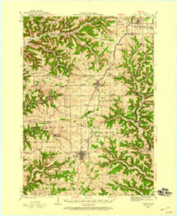
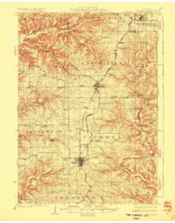
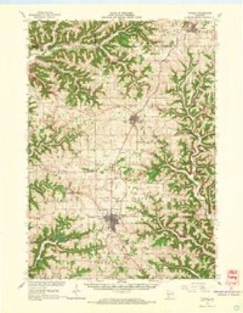
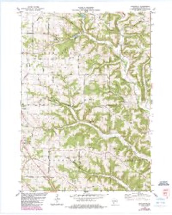
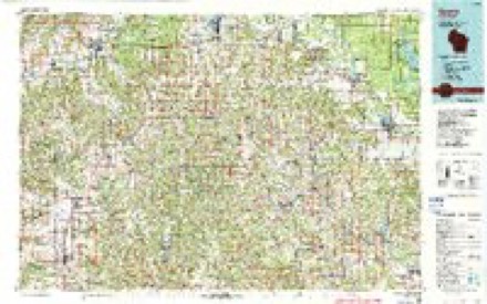
Topographic sheets covering this place
9 surveys from 14 printed sheetsMatched by testing this settlement's coordinate against the published boundary of every sheet in the United States Geological Survey's historical collection. Each opens the scanned sheet at the Survey.
- 1923 USGS Viroqua quadrangle1:62500
- 1926 USGS Viroqua quadrangle1:62500, 2 printings
- 1958 USGS La Crosse quadrangle1:250000, 2 printings
- 1961 USGS La Crosse quadrangle1:250000
- 1965 USGS La Crosse quadrangle1:250000
- 1965 USGS Viroqua quadrangle1:62500, 2 printings
- 1976 USGS La Crosse quadrangle1:250000
- 1983 USGS Avalanche quadrangle1:24000, 2 printings
- 1985 USGS Sparta quadrangle1:100000, 2 printings




What happened here
An account from the chapter on Franklin town. The inset identifies its exact source book and publication year.
Early Settlement
To John McCullougli is ascribed the honor of having made the first actual settlement in the town of Franklin. He came in 1844 and afterward entered land and did some breaking. The next spring he brought his family on. His claim was on section 25 of township 12, range west. In 1852 he, with a number of others, went to California, remained a year in the gold region, and wrote to his brother that he was about to return, but he was never afterward heard of, and it is supposed he perished on the plains.
In the county-history sources
7,303 words on this townshipHistory of Vernon County, Wisconsin .., published 1884 names this settlement in its chapter on Franklin Town. These are the passages that mention it, exactly as the scans read.
Forest F. W. Alexander is the present town clerk of the town of Franklin. He resides on section 18, town 12, range 4 west. He has fifty acres of land, which he purchased of Harriet Dulap. He was born in Broome Co., N. Y., and came to Wisconsin with his father, who settled at Muscoda, Grant county. The family came to Vernon county in 1869 and settled at Liberty Pole. The father is now deceased. Forest has been generally engaged in clerking. He married Mary Crume, whose father was an e.irly settler of the town of Viroqua. They have three children - Florence M., Grace and Rue E.
Passage source: History of Vernon County, Wisconsin .., published 1884.
The first school house in this town was made of logs, and located near New Brookville on section 17, town 12, range 4. In it was taught the first school in the town of Franklin; Lorenzo Pierce was the first teacher.
Passage source: History of Vernon County, Wisconsin .., published 1884.
The first school building in district No. 3, which was built at an early day, served until 1877, when a new frame structure was built. From the date of the erection of this building, the interest in school matters has inci-eased.
Passage source: History of Vernon County, Wisconsin .., published 1884.
Machine-read from a century-old scan, so expect the errors a machine makes: misspelled names, dropped words, stray characters.
Read the whole chapter on Franklin Town - it names this place 2 more 2 times.
Fires near this place
11 since 2018Regional context, not property-specific evidence. The federal wildfire occurrence database lists 11 fires within 5 miles of Brookville between 2018 and 2020, burning about 39 acres in total. None started naturally. 1 was recorded as arson. Distance is straight-line from the map coordinates, so a fire counted here may appear on a neighbouring settlement's page as well.
| Reported cause | Fires |
|---|---|
| Missing data/not specified/undetermined | 9 |
| Arson/incendiarism | 1 |
| Debris and open burning | 1 |
The most recent of them, most recent first, with the day each was reported and the service that recorded it.
| Date | Cause | Size | Reported by | Name on the report |
|---|---|---|---|---|
| 24 September 2018 | Missing data/not specified/undetermined | under an acre | Wisconsin Department of Natural Resources | 18180 |
| 5 July 2019 | Missing data/not specified/undetermined | 1.0 acres | Wisconsin Department of Natural Resources | 19144 |
| 8 May 2020 | Arson/incendiarism | 35 acres | Wisconsin Department of Natural Resources | 2020011 |
| 13 May 2020 | Missing data/not specified/undetermined | under an acre | Wisconsin Department of Natural Resources | 20079 |
| 12 May 2020 | Missing data/not specified/undetermined | under an acre | Wisconsin Department of Natural Resources | 20073 |
| 26 April 2018 | Debris and open burning | under an acre | Wisconsin Department of Natural Resources | 18053 |
| 30 March 2019 | Missing data/not specified/undetermined | under an acre | Wisconsin Department of Natural Resources | 19063 |
| 17 March 2020 | Missing data/not specified/undetermined | 2.0 acres | Wisconsin Department of Natural Resources | 20041 |
Settlements close enough to share some of these fires:
Mines and quarries near this place
6 within 5 milesRegional context, not property-specific evidence. The federal mineral resources record lists 6 workings within 5 miles of Brookville: 3 producers, 2 past producers, 1 unknown. 3 still produce. What was taken out: Stone, Crushed/Broken, Stone. Distance is straight-line from the map coordinates, so a quarry counted here may appear on a neighbouring settlement's page as well.
| Where | Site | Commodity | Status | Recorded |
|---|---|---|---|---|
| Own Crews | Stone | Unknown | ||
| Brooksville Quarry | Stone, Crushed/Broken | Past Producer | ||
| Cook Quarry | Stone, Crushed/Broken | Producer | ||
| Ellefson Brothers Quarry | Stone, Crushed/Broken | Producer | ||
| Liberty Quarry | Stone, Crushed/Broken | Producer | ||
| Roaring Forty Quarry | Stone, Crushed/Broken | Past Producer |
Nearest settlements
The eight closest, with where each one stands in the county. Distances are straight-line, computed from the Geographic Names Information System coordinates.
| Map | Place | Distance | Sheets |
|---|---|---|---|
| Liberty Pole | 3.4 miles | 10 | |
| Viroqua | 3.8 miles | 14 | |
| Folsom | 5.0 miles | 10 | |
| Ross | 5.6 miles | 14 | |
| Liberty | 6.2 miles | 12 | |
| Readstown | 6.4 miles | 10 | |
| Fargo | 6.8 miles | 10 | |
| Springville | 7.0 miles | 14 |
Provenance
This settlement is recorded in the Geographic Names Information System as feature 2760698. The sheet list is computed by point-in-boundary test against the United States Geological Survey's historical topographic inventory. Both are works of the United States government and carry no copyright under 17 U.S.C. 105.
Wildfire. Short, Karen C. 2022. Spatial wildfire occurrence data for the United States, 1992-2020 [FPA_FOD_20221014]. 6th Edition. Fort Collins, CO: Forest Service Research Data Archive. https://doi.org/10.2737/RDS-2013-0009.6 Collected with United States Government funding and usable without additional permissions or fees.
Mines and quarries. USGS Mineral Resources Data System (MRDS) https://mrdata.usgs.gov/mrds/ A work of the United States government, no copyright under 17 U.S.C. 105.