 Block
Springville, Wisconsin
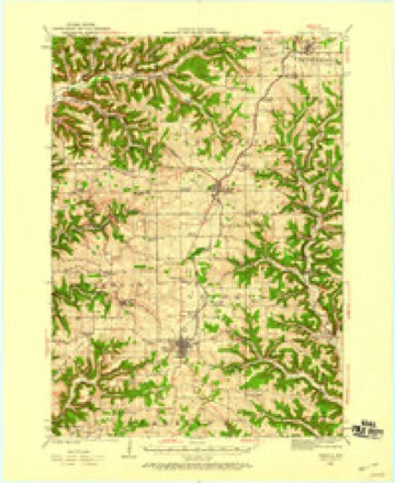
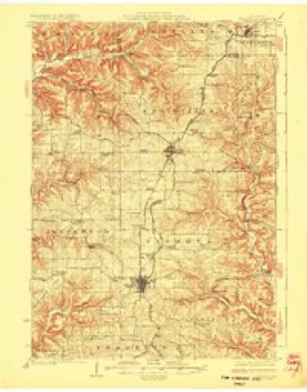
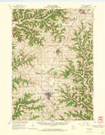
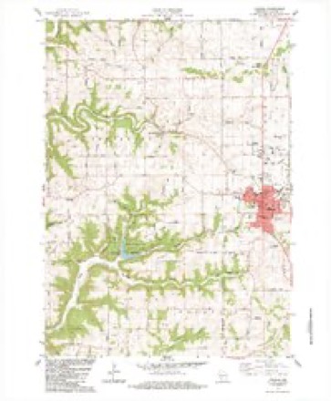
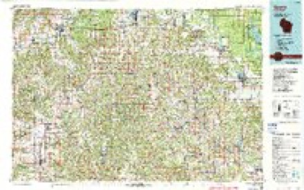
14 topographic sheets cover this place, the earliest surveyed in 1923 and the latest in 1985. It stands in Jefferson town. It lies in ZIP code area 54665. The Survey maps it on the Viroqua quadrangle. It stands 1,093 feet above sea level.
Topographic sheets covering this place
9 surveys from 14 printed sheetsMatched by testing this settlement's coordinate against the published boundary of every sheet in the United States Geological Survey's historical collection. Each opens the scanned sheet at the Survey.
- 1923 USGS Viroqua quadrangle1:62500
- 1926 USGS Viroqua quadrangle1:62500, 2 printings
- 1958 USGS La Crosse quadrangle1:250000, 2 printings
- 1961 USGS La Crosse quadrangle1:250000
- 1965 USGS La Crosse quadrangle1:250000
- 1965 USGS Viroqua quadrangle1:62500, 2 printings
- 1976 USGS La Crosse quadrangle1:250000
- 1983 USGS Viroqua quadrangle1:24000, 2 printings
- 1985 USGS Sparta quadrangle1:100000, 2 printings




What happened here
An account from the chapter on Jefferson town. The inset identifies its exact source book and publication year.
Cyclone
June 23, IS'ZS, a small cyclone struck the residence of William Frazier on section 5, of town 1.3, range 5, and completely demolished it. At the time, there were eleven persons in the house - Mr. and Mrs. Frazier, and their six children, his sister-in-law and child, and a hired girl. None w^^ere killed, but several were seriously injured.
In the county-history sources
11,529 words on this townshipHistory of Vernon County, Wisconsin .., published 1884 names this settlement in its chapter on Jefferson Town. These are the passages that mention it, exactly as the scans read.
The first settlement of this town was made by John Graham, in July, 1846, who, in company with his three sons, Thomas, Baker and Lamech settled on section 23, town 13, range 5. They moved from Mercer Co., 111., with four yoke of oxen. They left Illinois in the month of April and came as tar as Grant county, this State, where the family halted, while Mr. Graham and Jefferson De Freese came on to Vernon county in search of lands suitable to make homes. At that date the only settlers in Vernon county were Messrs. Rice and McCollough. They found lands adapted to their wants and soon returned to Grant county for the family, and were soon settled, after a fashion, in their new frontier home. Mr. Graham and his sons erected a rude log cabin and resided there " monarchs of all they surveyed," until that fall, when they were joined by William McMichael and family. Mis. McMichael was a daughter of John Gratiam. Mr. Graham was born in Virginia, and with his parents moved to Ohio, where he learned the trade of millwright. He married a Miss Lyons, who died leaving four children, two sons and two daughters. He subsequently married Miss Reasoner and moved to Grant Co., Ind., where he built a mill and operated it till 184C, when he removed to Illinois. His wife died, leaving him nine children to care for. Six of these children were living in 1884 - '-aker, Lamech, Mary, Jefferson, Casandrew and Vallie. After coming to Vernon county, Mr. Graham married Mrs. Mary Crawford, whose maiden name was McMichael. By this union there were two children. Mr. Graham erected the first mill in Vernon county ; he also laid out the village of Springville. He died in 1862.
Passage source: History of Vernon County, Wisconsin .., published 1884.
The following are the names of those who settled in the town previous to 1850 : John Graham and his sons Lamech, Thomas ;\nil Baker, who came in July, 1846 ; William Mc- Michael, Isaac Spencer, Edmond Strong, Charles Waters, Isaac Waters, Henry Waters, William Spencer, Edward Cox, Daniel Cox,
Passage source: History of Vernon County, Wisconsin .., published 1884.
Henry Waters came previous to 1850. He farmed and run a store at Springville for a time; but in 1884 was living at Fort Kearney, Neb. Isaac Waters, who was an unmarried man at the time of his coming to the county, soon after married Martha Price. He remained about ten years and moved to Minnesota.
Passage source: History of Vernon County, Wisconsin .., published 1884.
Machine-read from a century-old scan, so expect the errors a machine makes: misspelled names, dropped words, stray characters.
Read the whole chapter on Jefferson Town - it names this place 36 more 36 times.
Fires near this place
6 since 2018Regional context, not property-specific evidence. The federal wildfire occurrence database lists 6 fires within 5 miles of Springville between 2018 and 2020, burning about 1 acre in total. None started naturally. None was recorded as arson. Distance is straight-line from the map coordinates, so a fire counted here may appear on a neighbouring settlement's page as well.
| Reported cause | Fires |
|---|---|
| Missing data/not specified/undetermined | 5 |
| Equipment and vehicle use | 1 |
The most recent of them, most recent first, with the day each was reported and the service that recorded it.
| Date | Cause | Size | Reported by | Name on the report |
|---|---|---|---|---|
| 24 September 2018 | Missing data/not specified/undetermined | under an acre | Wisconsin Department of Natural Resources | 18180 |
| 30 April 2018 | Equipment and vehicle use | under an acre | Wisconsin Department of Natural Resources | 18057 |
| 17 March 2020 | Missing data/not specified/undetermined | under an acre | Wisconsin Department of Natural Resources | 20042 |
| 29 February 2020 | Missing data/not specified/undetermined | under an acre | Wisconsin Department of Natural Resources | 20034 |
| 10 November 2020 | Missing data/not specified/undetermined | under an acre | Wisconsin Department of Natural Resources | 20190 |
| 9 January 2018 | Missing data/not specified/undetermined | under an acre | Wisconsin Department of Natural Resources | 18003 |
Settlements close enough to share some of these fires:
Mines and quarries near this place
4 within 5 milesRegional context, not property-specific evidence. The federal mineral resources record lists 4 workings within 5 miles of Springville: 2 past producers, 1 producer, 1 unknown. 1 still produces. What was taken out: Stone, Crushed/Broken, Stone. Distance is straight-line from the map coordinates, so a quarry counted here may appear on a neighbouring settlement's page as well.
| Where | Site | Commodity | Status | Recorded |
|---|---|---|---|---|
| Own Crews | Stone | Unknown | ||
| Cook Quarry | Stone, Crushed/Broken | Producer | ||
| Lepke Quarry | Stone, Crushed/Broken | Past Producer | ||
| Newton Quarry | Stone, Crushed/Broken | Past Producer |
Storms near this place
4 since 2007Regional context, not property-specific evidence. The National Weather Service names Springville in 4 storm reports between 2007 and 2010: 2 thunderstorm wind, 1 flash flood, 1 lightning. No death or injury is recorded in these reports. Each account below is quoted exactly as the forecast office filed it, from the NOAA Storm Events Database, and each date opens the federal record of that event.
| When | Event | Place named | Harm | What the report says |
|---|---|---|---|---|
| August 2010 | Lightning | Springville | $490,000 | Lightning struck a rural church northwest of Viroqua as thunderstorms moved through the morning of August 13th. The area of the church that was struck smoldered for a day before the fire broke out in the afternoon of August 14th. The entire church was destroyed by the fire. |
| August 2007 | Flash Flood | Springville | $150,000 | Car washed away on Highway 56, but people escaped. |
| July 2010 | Thunderstorm Wind | Springville | $5,500 | Law enforcement reported a shed damaged and trees down around the city of Viroqua. |
| July 2010 | Thunderstorm Wind | Springville | $1,500 | Law enforcement reported several trees down four miles northwest of Viroqua. |
Nearest settlements
The eight closest, with where each one stands in the county. Distances are straight-line, computed from the Geographic Names Information System coordinates.
| Map | Place | Distance | Sheets |
|---|---|---|---|
| Bud | 3.1 miles | 14 | |
| Viroqua | 3.3 miles | 14 | |
| Esofea | 3.5 miles | 14 | |
| Newton | 6.5 miles | 11 | |
| Liberty Pole | 6.7 miles | 10 | |
| Westby | 6.8 miles | 14 | |
| Brookville | 7.0 miles | 14 | |
| Purdy | 7.4 miles | 11 |
Elsewhere
Matched on this settlement's Geographic Names Information System number rather than its name, so it cannot be a different place of the same name in another state.
| Wikipedia article on Springville | An encyclopaedic summary. Its text is share-alike, so it is linked here rather than copied. |
| Wikidata item Q7581238 | The structured record the population and elevation above come from. Public domain (CC0). |
Provenance
This settlement is recorded in the Geographic Names Information System as feature 1574726. The sheet list is computed by point-in-boundary test against the United States Geological Survey's historical topographic inventory. Both are works of the United States government and carry no copyright under 17 U.S.C. 105.
Wildfire. Short, Karen C. 2022. Spatial wildfire occurrence data for the United States, 1992-2020 [FPA_FOD_20221014]. 6th Edition. Fort Collins, CO: Forest Service Research Data Archive. https://doi.org/10.2737/RDS-2013-0009.6 Collected with United States Government funding and usable without additional permissions or fees.
Mines and quarries. USGS Mineral Resources Data System (MRDS) https://mrdata.usgs.gov/mrds/ A work of the United States government, no copyright under 17 U.S.C. 105.
Storms. NOAA National Centers for Environmental Information, Storm Events Database https://www.ncei.noaa.gov/stormevents/ A work of the United States government, no copyright under 17 U.S.C. 105. Narratives are quoted verbatim from the National Weather Service report and are not edited or summarised.